Parking
Park on the south side of Ströngukvísl and use the walking bridge. The public route map does not identify a separate lot or exact parking entrance. F208 is 4WD-only.
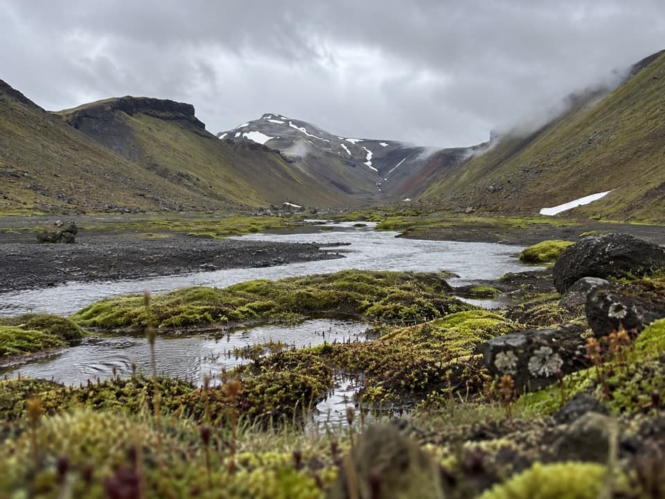
Vatnajökull National Park
Cross the bridge, then follow Nyrðri Ófæra into Eldgjá
Overview
Map & elevation
Plan your hike

The highest, rockiest slopes around here are a summer buffet for grizzly bears.
Vatnajökull Tour Guide
Parkwolf is a GPS audio tour guide for Vatnajökull National Park. As you drive, it chimes in with what’s ahead: hidden gems, upcoming stops, history, geology, and wildlife, right through your car’s speakers.
Recorded for this trailhead
Eldgjá and Ófærufoss“You're approaching the access for Eldgjá and Ófærufoss, a two-tier waterfall inside a huge volcanic fissure.”
Plays as you drive up to this trailhead in the Parkwolf Vatnajökull Tour Guide.
More stories near here in the app
“Fantastic app with many points of information… It’s great to just turn on while you’re driving and it gives you an audio tour of the national Park. We love it!!!!”


Trail guide
Strangakvísl–Eldgjá (E3) is a challenging out-and-back walk from the south side of Ströngukvísl into Eldgjá. The park lists 2 km and about an hour, but it does not say whether those figures include a return. The connected path we could verify is about 1.9 km from the bridge into Eldgjá; if you retrace it to your car, plan for about 4 km round trip and allow around two hours. The far end of the mapped route is approximate, so treat both totals as estimates.
Cross the walking bridge and follow Nyrðri Ófæra toward the fissure, then return the same way. This is the river-side approach created for visitors who want to avoid driving across Ströngukvísl. It is separate from the Ófærufoss walk that starts at the main Eldgjá car park.
Park on the south side of Ströngukvísl and start at the walking bridge. F208, the highland road into this area, is 4WD-only and has an unbridged river crossing at Ströngukvísl. Use the south-side approach and check the park's road guidance before driving in. Dogs are allowed on leash.
The walk follows Nyrðri Ófæra into Eldgjá, part of a roughly 75-km fissure opened during an eruption dated 934–940. The central section of the fissure is about 600 m wide and 150 m deep. The river runs through craters in the gorge and continues toward Ófærufoss, which is reached by a separate walk from the main Eldgjá car park.
Wildlife
 23 sightingsGrey SealMost seen around 5 AMSighting map
 260 sightingsHarbor SealMost seen around 11 AMSighting map
 184 sightingsCaribouMost seen around 7 PMSighting map
 62 sightingsArctic FoxMost seen around 8 PMSighting map
 169 sightingsWhooper SwanMost seen around 5 PMSighting map
 68 sightingsAtlantic PuffinMost seen around 7 PMSighting map
Sighting maps show where each species has been reported across Vatnajökull. Wildlife moves, so no sighting is guaranteed.
Keep exploring
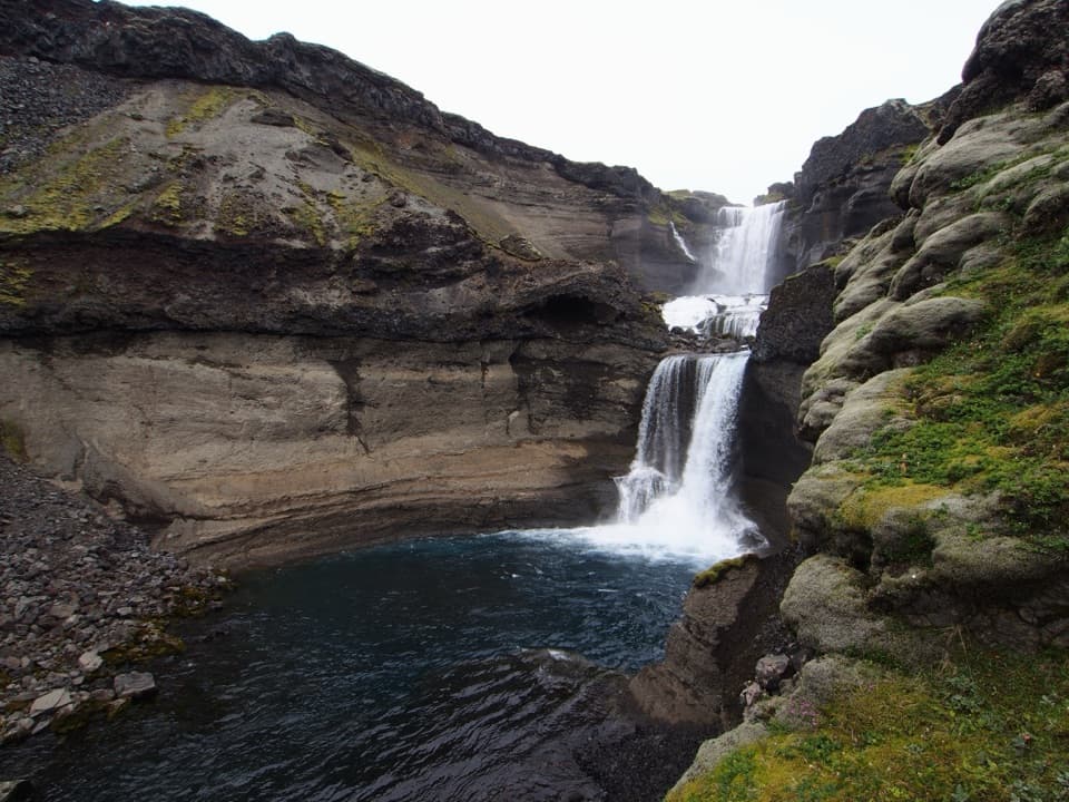 ChallengingGjátindur Summit Trail14 km · 7 hr · At the trailheadA summit hike above Ófærufoss and Eldgjá's vast volcanic fissure
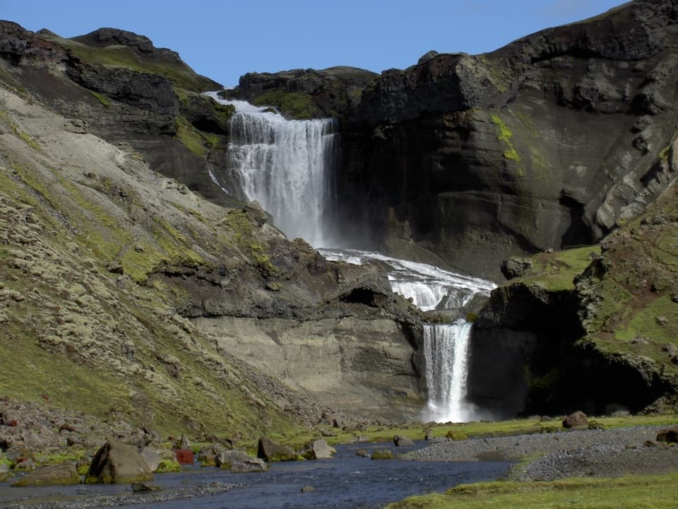 ModerateEldgjá–Ófærufoss Trail (E1)2.5 km · 1.3 hr · 1.1 km awayA short walk beneath Iceland’s vast fissure to Ófærufoss.
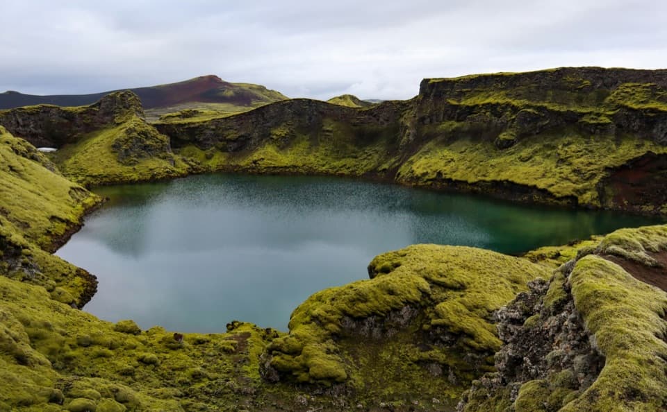 EasyTjarnargígur Trail1 km · 30 min · 18.8 km awayA short out-and-back to Tjarnargígur’s crater lake.
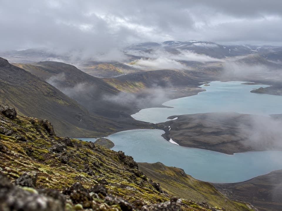 ChallengingSveinstindur Summit Trail (E4)3.5 km · 3.5 hr · 19.2 km awayA steep climb earns a sweeping view of Langisjór and the highlands.
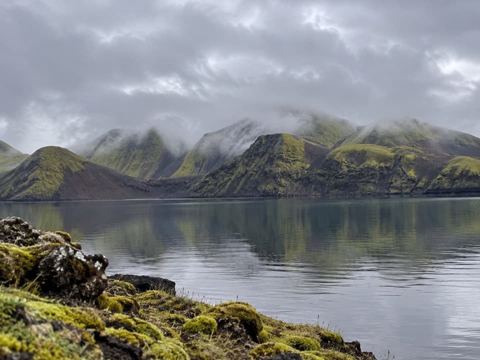 ModerateFagralón8 km · 3 hr · 20.4 km awayA quiet, unmarked walk to a highland lake beneath volcanic ridges.
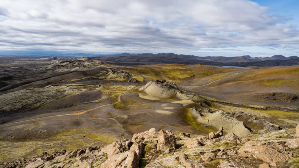 ChallengingLaki Summit Trail (L1)3 km · 1.5 hr · 22.8 km awayA short climb above Lakagígar’s crater chain.Sight · 1.8 km awayÓfærufossTwo waterfall tiers anchor Eldgjá’s 150 m-deep volcanic canyon.
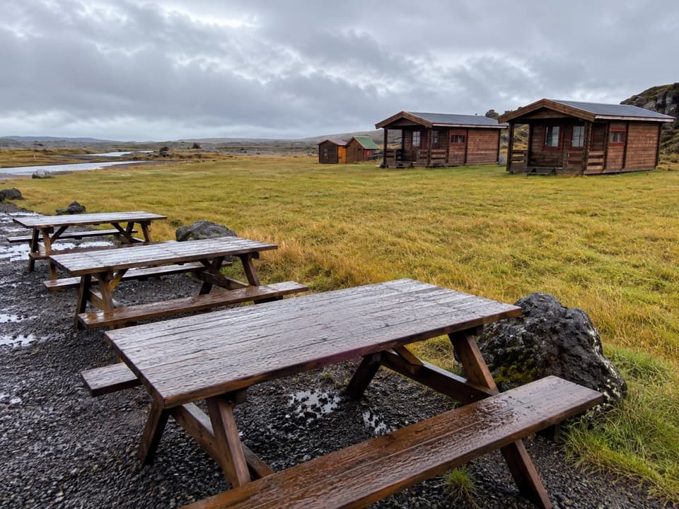 Lodging · 5.2 km awayHólaskjól Highland CenterA practical base for Eldgjá, with a waterfall five minutes away.
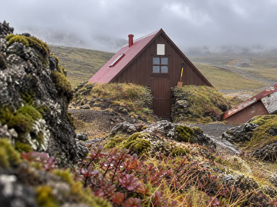 Lodging · 6.5 km awaySkælingar Hut and CampgroundA bare-bones hut and campsite on a remote highland route.
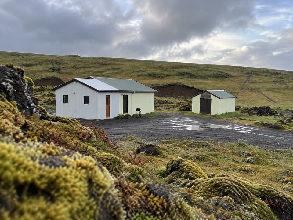 Campground · 15.4 km awayBlágil Hut and CampgroundAn overnight base for the long, crater-filled Laki drive.
Parkwolf’s Vatnajökull ranking

The audio tour guide for the drive, plus offline maps, trails, and wildlife heatmaps for when the signal drops.




