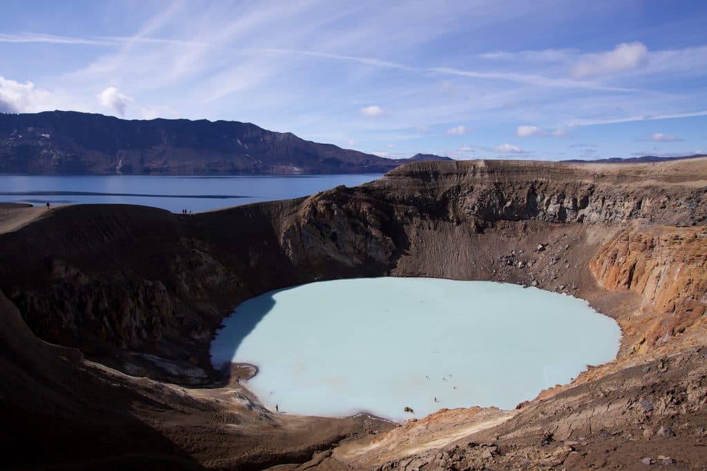
Parking
Use the signed parking and campground area north of the Ásbyrgi campground. Follow the Eyjan (Á2) signs from there; the official trail starts on the north side of the campground.
#9 of 16 trails in Vatnajökull
Vatnajökull National Park
A short loop to sweeping views from Ásbyrgi’s flat-topped Eyjan
Overview
Eyjan (Á2) is a signed loop onto the flat-topped rock in the middle of Ásbyrgi’s horseshoe-shaped canyon. The route provides broad views over the canyon and its birch-covered floor, with high cliffs along the top. It is an easy outing, but the exposure is serious.
The trail is suitable for hikers comfortable with an easy but exposed route and uneven steps. It is not appropriate for anyone who cannot keep well back from unprotected cliff edges.
 Parkwolf’s verdictWho It’s For
Map & elevation
Plan your hike

The highest, rockiest slopes around here are a summer buffet for grizzly bears.
Vatnajökull Tour Guide
Parkwolf is a GPS audio tour guide for Vatnajökull National Park. As you drive, it chimes in with what’s ahead: hidden gems, upcoming stops, history, geology, and wildlife, right through your car’s speakers.
“Fantastic app with many points of information… It’s great to just turn on while you’re driving and it gives you an audio tour of the national Park. We love it!!!!”


Trail guide
This is a roughly 3.0-mile loop (about 4.85 km on the verified mapped line) and normally takes 1.5–2 hours. It starts north of the Ásbyrgi campground, follows the approach to the wooden steps, climbs onto Eyjan, makes the summit/plateau circuit, and returns to the start along the signed route. The official park page lists the route as 4.5 km; the small difference is normal map-source rounding and the verified OSM line is the basis for the stored geometry.
Eyjan sits in the centre of Ásbyrgi, giving a distinctive view down the glacial-flood canyon and across its forested floor. The surrounding Jökulsárgljúfur landscape was shaped by catastrophic outburst floods, and the canyon is also associated with the local story that it is a hoofprint from Sleipnir, Óðinn’s eight-legged horse.
Eyjan has high, unprotected cliffs. Keep well back from every edge and supervise children closely. The wooden steps and rocky sections can be slippery when wet or icy; stay on the marked route and follow park guidance.
Wildlife
 22 sightingsGrey SealMost seen around 5 AMSighting map
 258 sightingsHarbor SealMost seen around 11 AMSighting map
 184 sightingsCaribouMost seen around 7 PMSighting map
 62 sightingsArctic FoxMost seen around 8 PMSighting map
 168 sightingsWhooper SwanMost seen around 5 PMSighting map
 68 sightingsAtlantic PuffinMost seen around 7 PMSighting map
Sighting maps show where each species has been reported across Vatnajökull. Wildlife moves, so no sighting is guaranteed.
Keep exploring
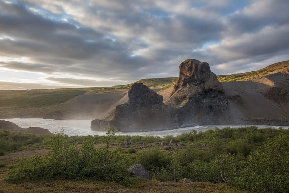 Sight · 8.5 km awayRauðhólar ViewpointRed crater hills with big river views on a short, scenic loop
 Sight · 10.2 km awayHljóðaklettarBasalt echo rocks with rosette columns and cave acoustics
 Sight · 10.2 km awayKirkjan (Hljóðaklettar)Domed basalt church with eerie echoes on Hljodaklettar loops
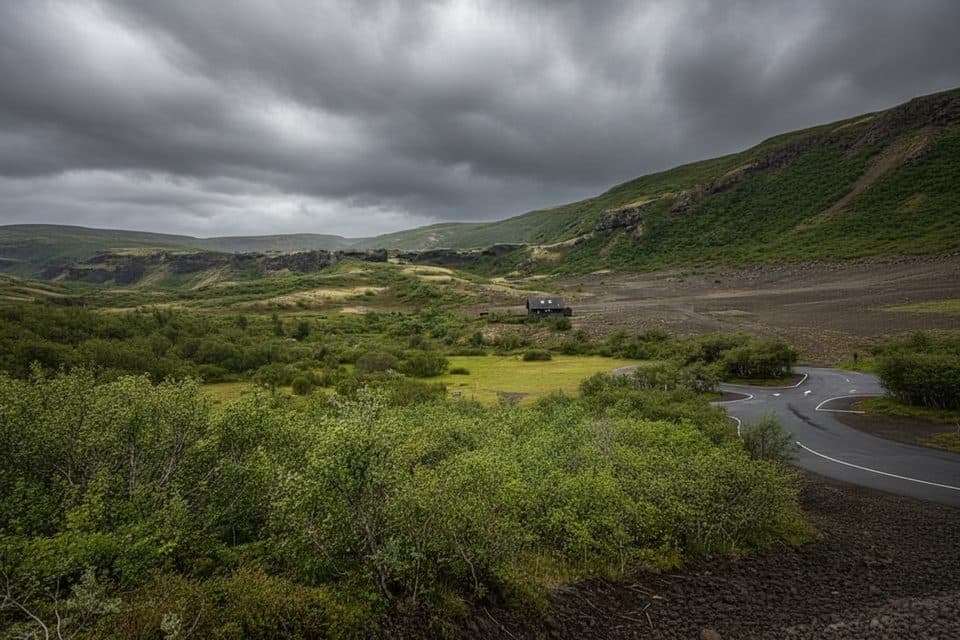 Sight · 10.4 km awayVesturdalur ViewpointBasalt labyrinth and river views from an easy canyon hub
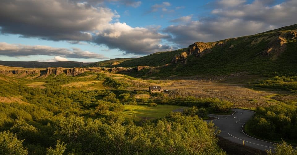 Campground · 10.8 km awayVesturdalur CampsiteSimple tent-only base beside Hljóðaklettar’s wild basalt playground
Parkwolf’s Vatnajökull ranking
The audio tour guide for the drive, plus offline maps, trails, and wildlife heatmaps for when the signal drops.