Parking
Start at Skálafell car park beside Skálafell farm.
Vatnajökull National Park
Glacier views, stream crossings and a marker of the old ice edge.
Overview
Map & elevation
Plan your hike

The highest, rockiest slopes around here are a summer buffet for grizzly bears.
Vatnajökull Tour Guide
Parkwolf is a GPS audio tour guide for Vatnajökull National Park. As you drive, it chimes in with what’s ahead: hidden gems, upcoming stops, history, geology, and wildlife, right through your car’s speakers.
Recorded for this trailhead
Hjallanes: Walking Toward Skálafellsjökull“You're approaching Skálafell, the starting point for the Hjallanes loop toward Skálafellsjökull glacier.”
Plays as you drive up to this trailhead in the Parkwolf Vatnajökull Tour Guide.
More stories near here in the app
“Fantastic app with many points of information… It’s great to just turn on while you’re driving and it gives you an audio tour of the national Park. We love it!!!!”


Trail guide
Hjallanes / Skálafellsjökull is the marked L1 circuit from Skálafell car park: about 8 km (5.1 miles) in a loop, usually 3–4 hours. It crosses the Hjallanes landscape toward Skálafellsjökull and returns by the Kolgríma corridor. It is a marked, challenging walk with about 140 m of ascent. Go for the glacier and the ground shaped by ice, not a smooth path or a quick roadside stop.
The opening crosses farm pasture and several small streams. Short, steeper gravel pitches lead into rougher ground above; the modest climb does not make this an easy stroll. The glacier and a gorge come into view on the upper circuit. The return has flatter and rolling stretches, with views toward the river and the coast. The route is marked, but footing is uneven. One late-loop slope has been reported as narrow and eroded, while newer walkers describe the circuit as maintained; take care there if the exposed ground is uncomfortable.
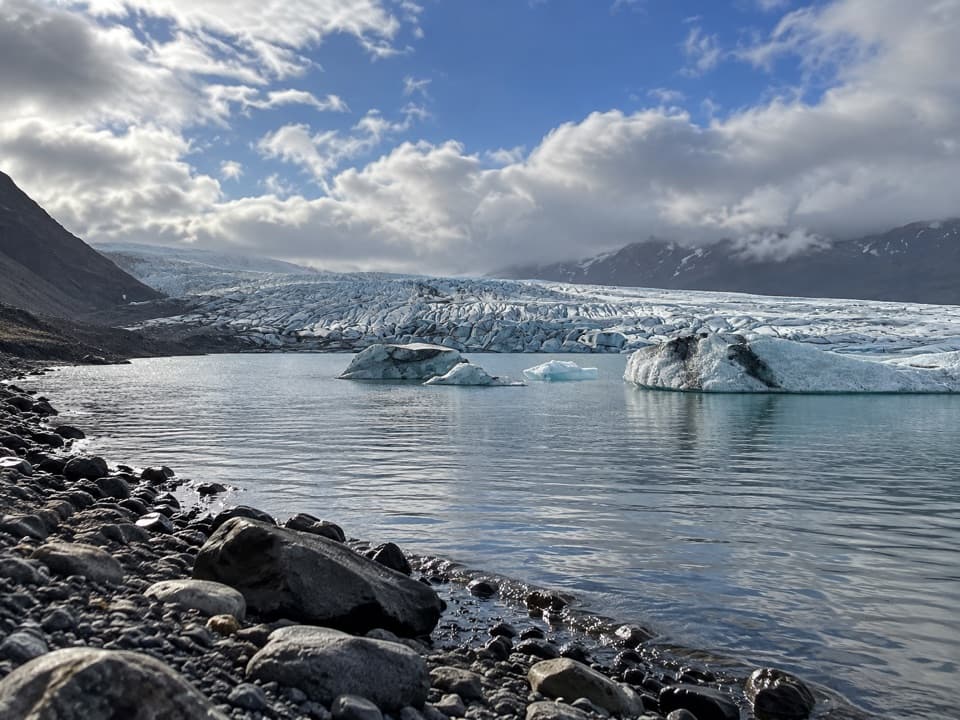
Look down as well as out at the glacier. Hjallanes has rounded bedrock ridges, scratches left by moving ice, scattered boulders, moraines and kettle holes. A viewpoint plaque marks how far Skálafellsjökull once reached; the present ice lies farther back. At the lagoon, frame the glacier tongue beyond the icebergs and keep a strip of the rocky shore in view for scale.
Skálafellsjökull and Heinabergsjökull met across this landscape during the Little Ice Age and into the early 20th century, when Hjallanes was glacier-covered. Reindeer are often seen in the wider area from autumn through spring, though a sighting is never guaranteed.
Begin at Skálafell car park beside the farm, and close every gate behind you. The route information does not establish a current dog rule, so check before bringing one. The crossings and gravel pitches are the parts to budget extra care for.
Wildlife
 23 sightingsGrey SealMost seen around 5 AMSighting map
 260 sightingsHarbor SealMost seen around 11 AMSighting map
 184 sightingsCaribouMost seen around 7 PMSighting map
 62 sightingsArctic FoxMost seen around 8 PMSighting map
 169 sightingsWhooper SwanMost seen around 5 PMSighting map
 68 sightingsAtlantic PuffinMost seen around 7 PMSighting map
Sighting maps show where each species has been reported across Vatnajökull. Wildlife moves, so no sighting is guaranteed.
Keep exploring
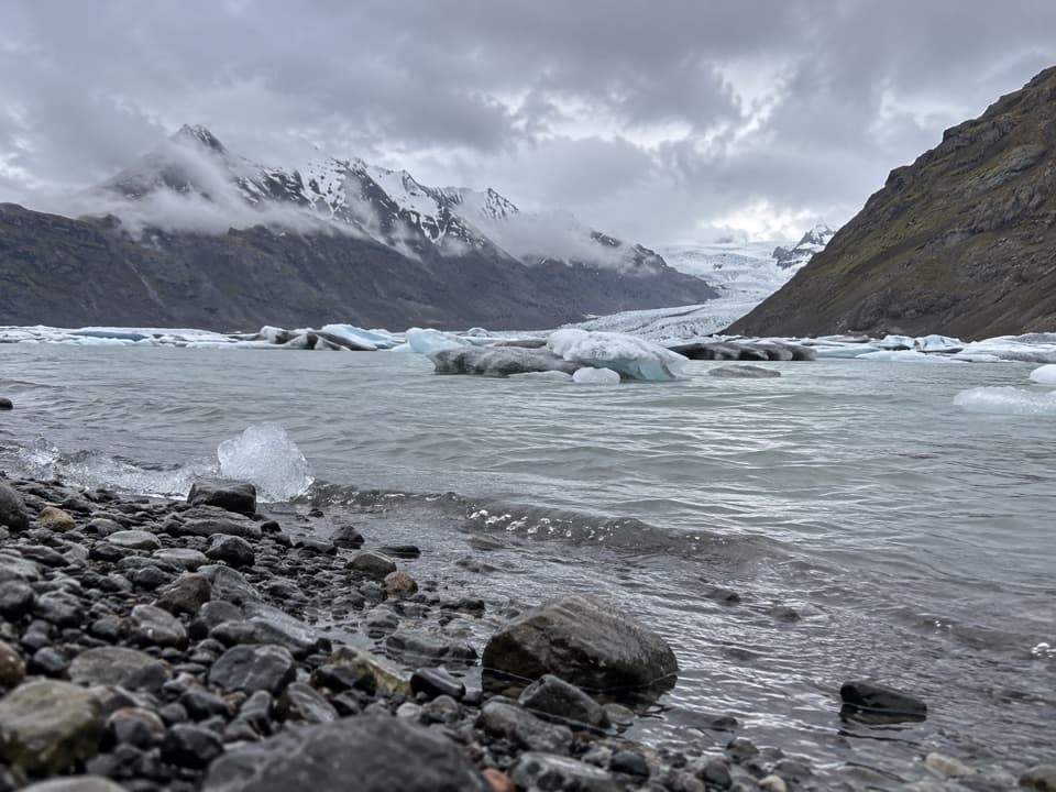 ModerateSkálafell–Heinabergslón Trail (J1)7.5 km · 3.5 hr · 0.1 km awayFollow Kolgríma to Heinabergslón’s glacier lagoon.
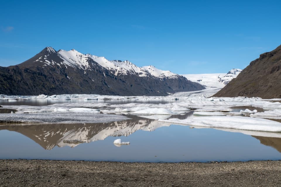 ChallengingHeinaberg Circle6 km · 3.5 hr · 5.8 km awayBasalt columns, glacier views, and old channels on a 6 km loop.ChallengingHeinabergsdalur (Vatnsdalur) E4 Loop17.5 km · 6.5 hr · 5.8 km awayA ridge loop over a valley once dammed by glacier ice
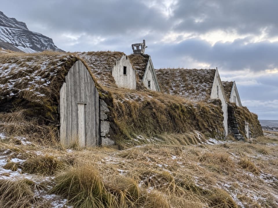 EasyHeinaberg Farm Trail (E3)1.2 km · 20 min · 6.9 km awayA short heritage walk through ponds to old farm ruins.
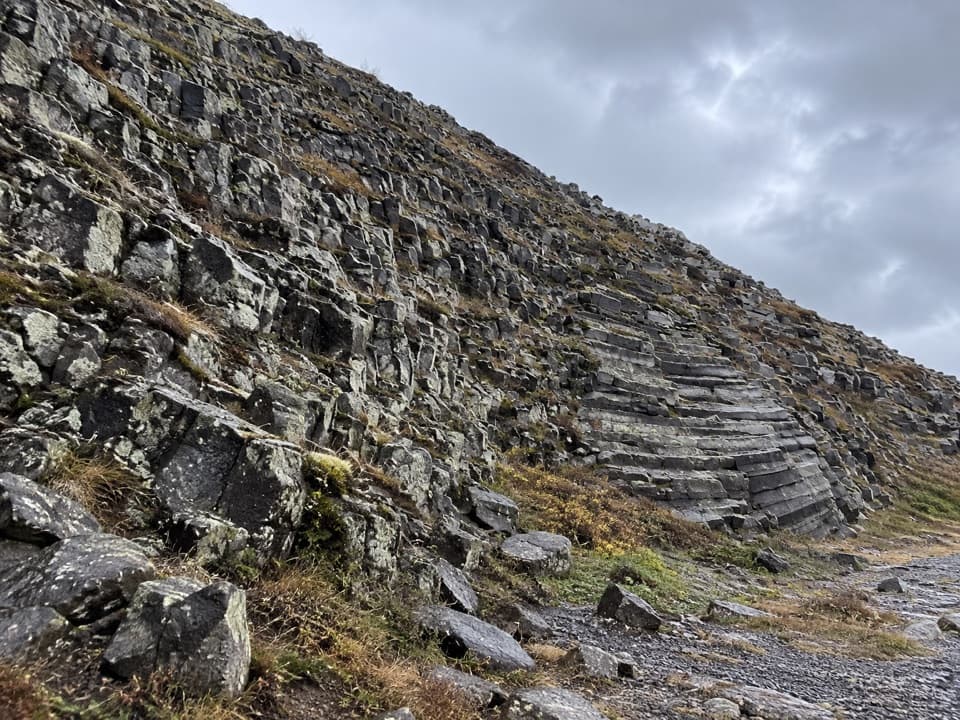 ModerateHeinar Trail1.8 km · 1 hr · 7.1 km awayA challenging short circle past Heinar’s ribbed basalt columns.
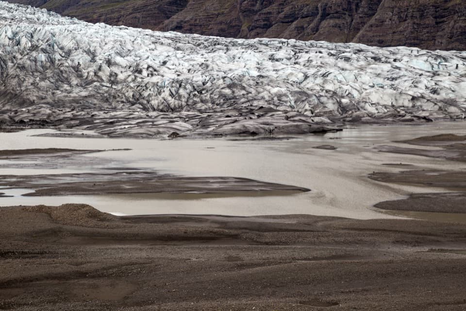 EasyHistorical Trail south of Fláajökull2.6 km · 1.5 hr · 10.4 km awayA short loop pairs glacier views with a local history trail.
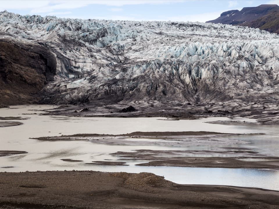 ModerateGeological Trail East of Fláajökull3.6 km · 2 hr · 12.3 km awayA short, challenging geology walk east of Fláajökull.ChallengingFláajökull (Hólmsá) – Haukafell4.5 km · 4.5 hr · 14 km awayA marked point-to-point walk to Fláajökull’s glacier lagoon.
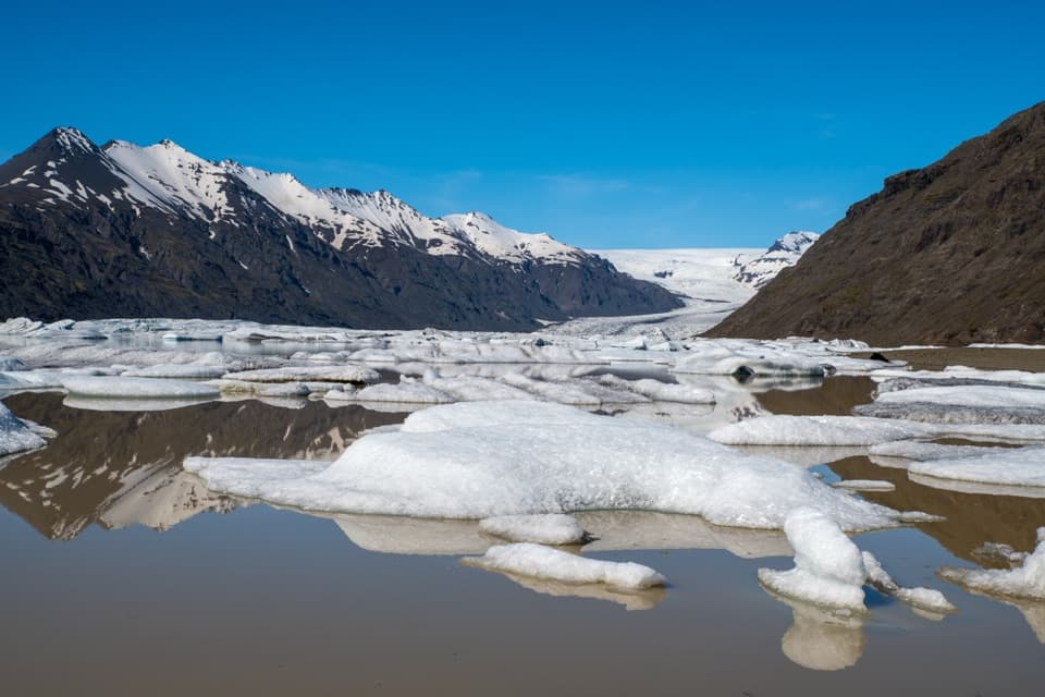 Sight · 5.9 km awayHeinabergslón Glacier LagoonA shore-side iceberg lagoon at the end of a rough gravel spur.
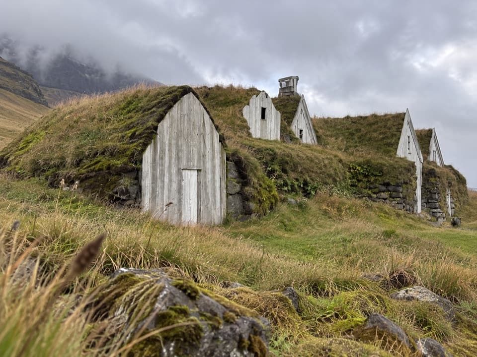 Sight · 7.3 km awayHeinaberg Farm RuinsA short sheep-track walk to a little-known farmstead.
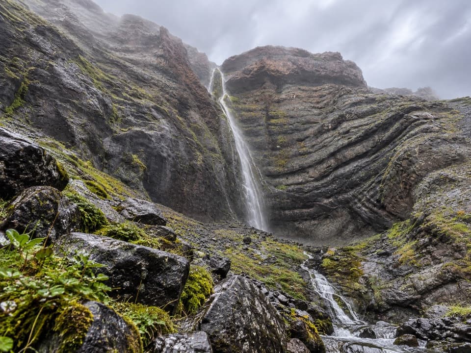 Sight · 8.1 km awayBólstaðafossA waterfall on Heinaberg’s challenging glacier-and-basalt circuit.Sight · 10.4 km awayFláajökullA glacier front, meltwater channels, and two interpretive walks.
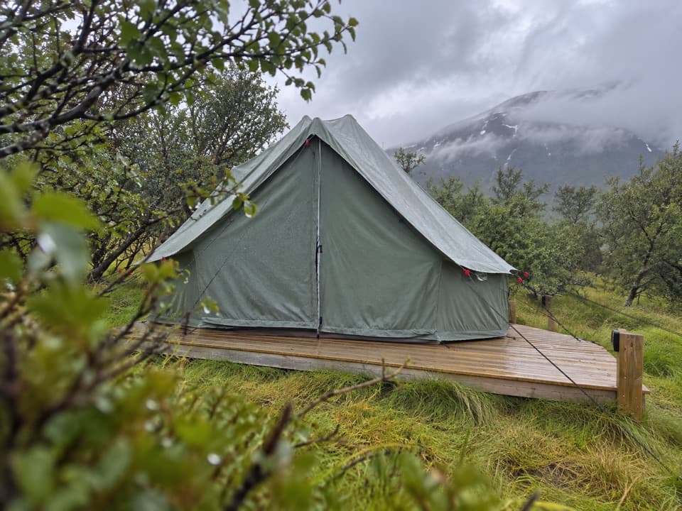 Campground · 14 km awayHaukafell CampgroundA camping base among trees, with a footpath toward Fláajökull.
Parkwolf’s Vatnajökull ranking

The audio tour guide for the drive, plus offline maps, trails, and wildlife heatmaps for when the signal drops.




