Parking
Anderson Bay Dock is the trail access and is reachable only by boat, about 19 miles over water from Rainy Lake Visitor Center. There is no road-side trailhead.
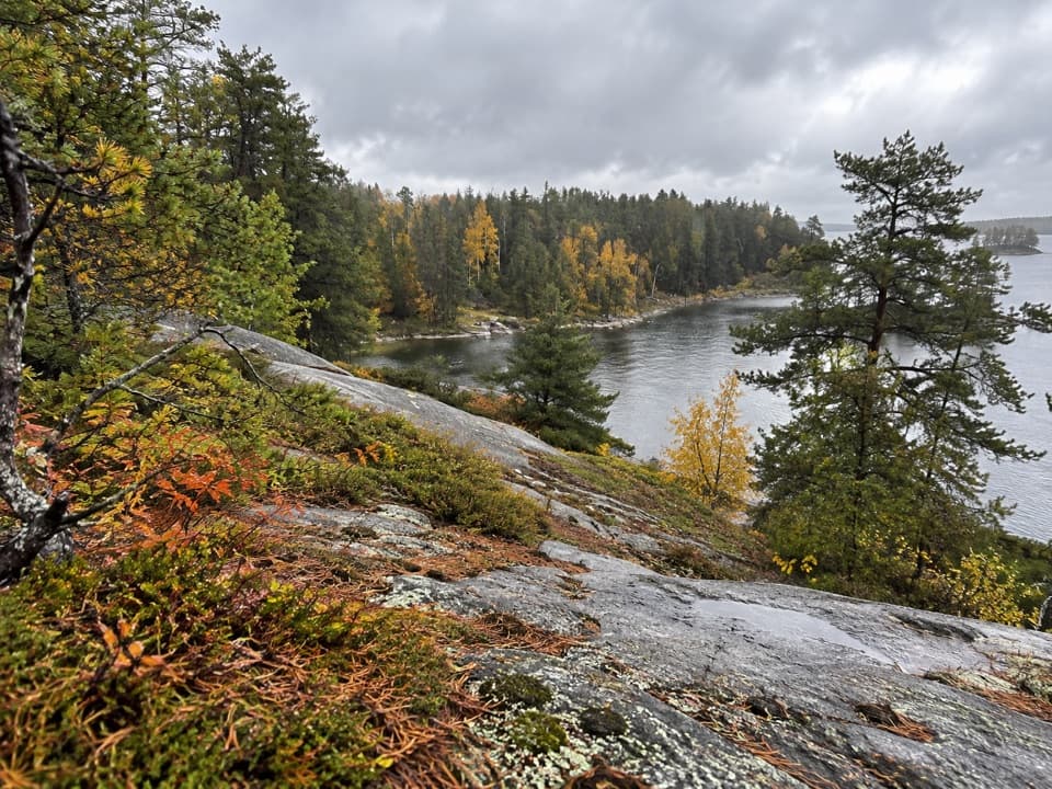
#2 of 19 trails in Voyageurs
Voyageurs National Park, MN
White granite cliffs and Rainy Lake views reward a boat-only hike.
Overview
Map & elevation
Plan your hike

The highest, rockiest slopes around here are a summer buffet for grizzly bears.
Voyageurs Tour Guide
Parkwolf is a GPS audio tour guide for Voyageurs National Park. As you drive, it chimes in with what’s ahead: hidden gems, upcoming stops, history, geology, and wildlife, right through your car’s speakers.
“Fantastic app with many points of information… It’s great to just turn on while you’re driving and it gives you an audio tour of the national Park. We love it!!!!”


Trail guide
Anderson Bay Loop is a boat-access circuit that starts and finishes at Anderson Bay Dock, then circles the forested point above Rainy Lake. From dock to dock, count roughly 2.5 to 2.7 miles, including both legs that connect the landing with the loop; use the long end for planning. Allow 90 minutes to two and a half hours. Around two hours is a sensible target if you stop at the cliffs and shore. The payoff is a broad white-granite overlook, a rocky water's edge, Windmill Rock Cove and a beaver-pond viewpoint. It's a compact hike, but not a stroll.
There's no road access to the trailhead. Anderson Bay Dock is about 19 miles over water from Rainy Lake Visitor Center, so sort out the boat trip before setting aside time for the hike. Picnic tables and a privy are by the landing, not along the loop. The published hiking season is spring through fall, and pets aren't allowed on park trails. If you're already visiting this part of the lake by boat, the loop turns that landing into a worthwhile half-day outing.
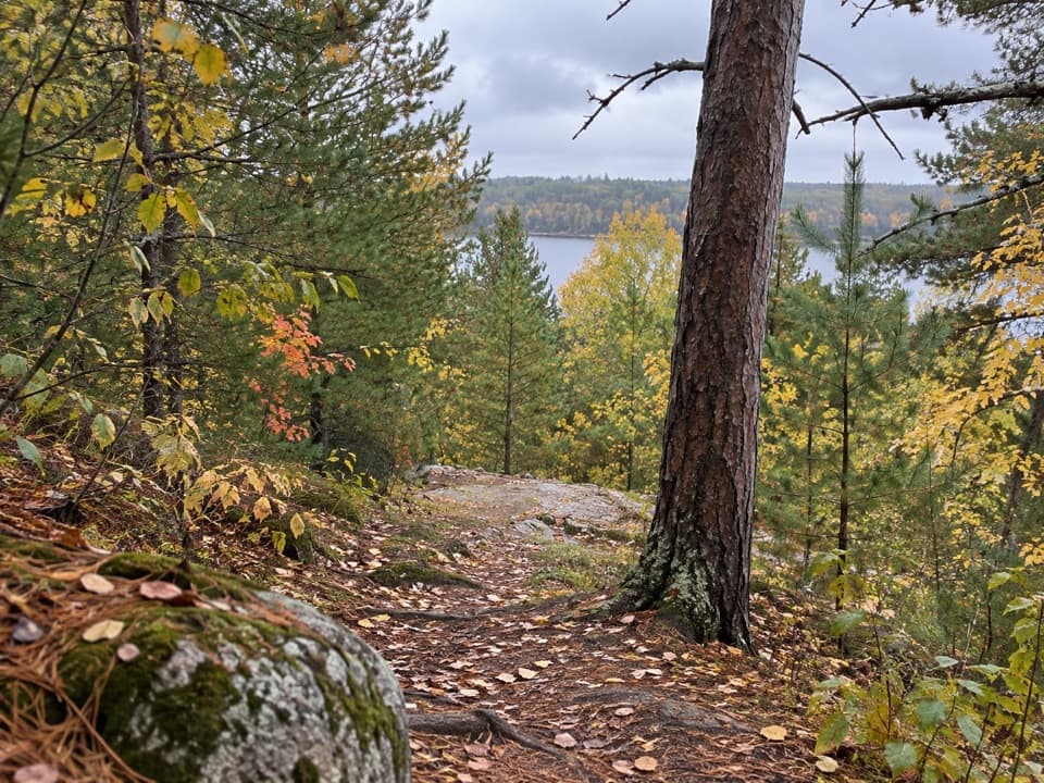
The trail is steep and narrow in places, with dirt over rocks and roots, uneven stone and open granite. Smooth rock can be very slick after rain, so take the short distance seriously. Cairns mark the lightly used path; keep looking for them where the tread crosses bare rock. At the fork toward Peary Lake, stay with the Anderson Bay return unless you mean to continue on the much longer Cruiser Lake Trail toward Lost Bay.
The route's signature view is from white granite cliffs that rise about 80 feet above Rainy Lake. Face east over Anderson Bay and its wooded islands; there's a westward outlook too, but the bay is the reason to linger. Continue counterclockwise and the route drops through the trees to a rock-lined shore near Anderson West campsite, then reaches Windmill Rock Cove by Windmill Rock campsite. The shore is broad slabs beside the water, not a sandy beach. This changing sequence—open cliff, forest, rocky shore—gives the loop more variety than its mileage suggests.
The exposed rock is part of the Canadian Shield. Granite and schist here trace back about 2.8 billion years, when volcanic island arcs collided and heat and pressure later folded and changed the bedrock. The pale slabs along Rainy Lake are the clearest place to connect that deep history to what you're seeing underfoot: this is ancient bedrock at the surface, not loose shoreline stone.
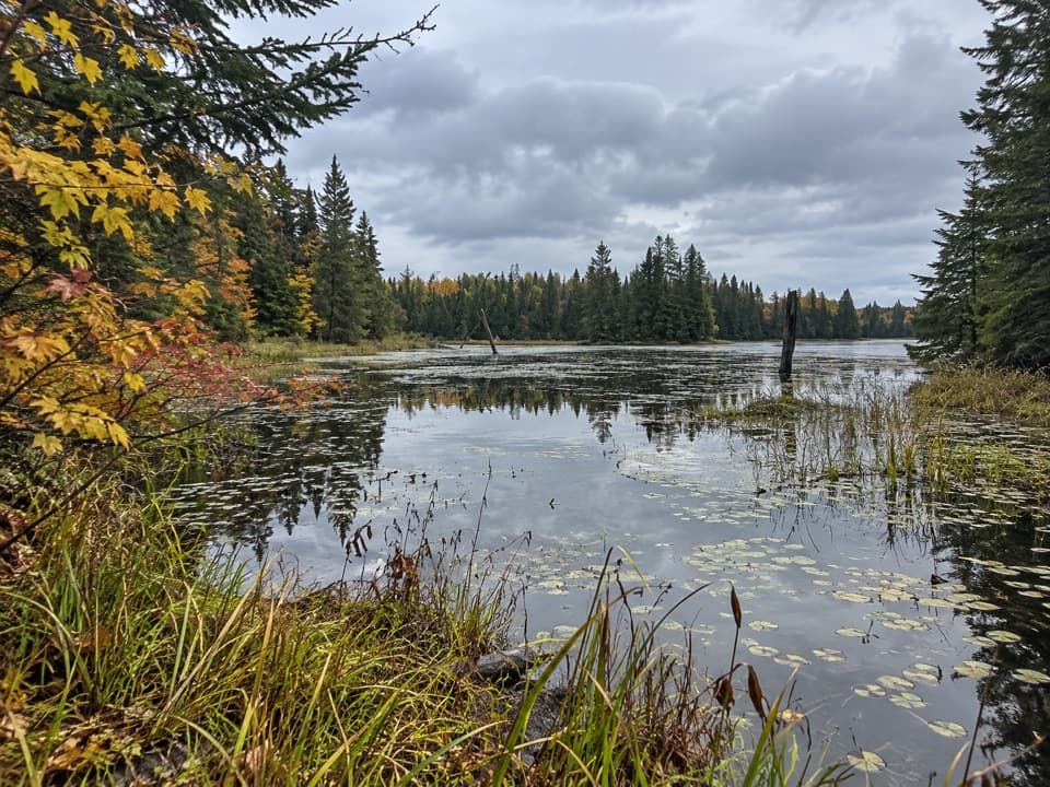
A beaver-pond viewpoint comes near the end of the loop, after the cliff and shoreline scenes. At the overlook, include the pale granite lip in the foreground with the bay and tree-covered islands beyond; that gives the view depth and shows how high the rock sits above the water. The cove and broad shore slabs also make a good close view if you want a break from the wide lake panorama.
Wildlife
 10 sightingsGray WolfMost seen around 7 PMSighting map
 12 sightingsMooseMost seen around 7 AMSighting map
 67 sightingsBald EagleMost seen around 10 AMSighting map
 79 sightingsLoonMost seen around 6 AMSighting map
 41 sightingsWhite PelicanMost seen around 8 AMSighting map
 19 sightingsTrumpeter SwanMost seen around 6 PMSighting map
Sighting maps show where each species has been reported across Voyageurs. Wildlife moves, so no sighting is guaranteed.
Keep exploring
 ModeratePeary Lake Trail1.1 mi · 45 min · At the trailheadA remote lake hike, with a boat ride before the trail starts.
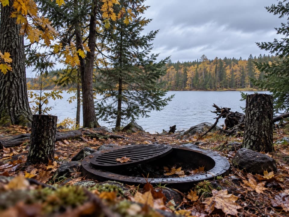 ModerateBrown Lake Trail from Anderson Bay5 mi · 3 hr · 0.2 mi awayA short lakeside spur reached by a long backcountry approach.
 ModerateBeast Lake Trail2.5 mi · 2.5 hr · 1.6 mi awayA remote ridge walk between two trailheads reached by boat.
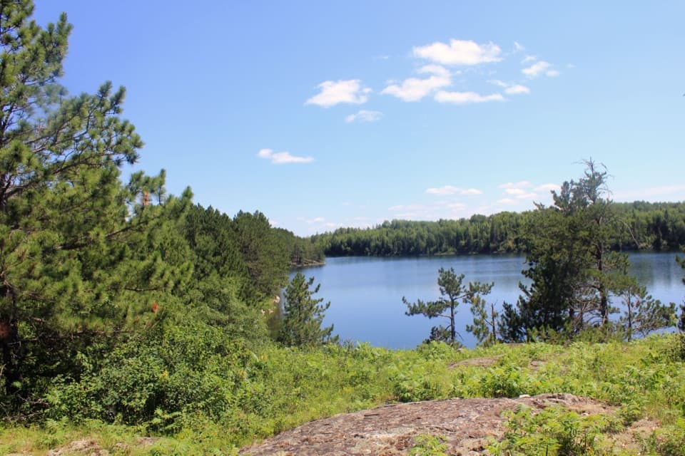 ChallengingCruiser Lake Trail8 mi · 6 hr · 5.3 mi awayA boat-access traverse with a rocky view across Cruiser Lake.
 EasyJorgens Lake Trail1 mi · 45 min · 6 mi awayA short boat access walk to a backcountry lake campsite.
 ModerateLittle Shoepack Lake Trail3.4 mi · 2 hr · 6 mi awayA remote forest walk that ends at a lakeshore canoe landing.
 EasyKabetogama Lake Overlook Trail0.4 mi · 20 min · 7.8 mi awayA short accessible path to a bench and a tree-framed lake view.
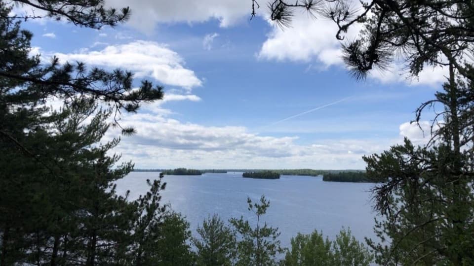 ModerateBlind Ash Bay Trail2.9 mi · 2 hr · 8 mi awayA rocky peninsula loop opens onto two very different lake views.
 Sight · At the trailheadAnderson BayNineteen boat miles lead to 80-foot granite cliffs above Rainy Lake.
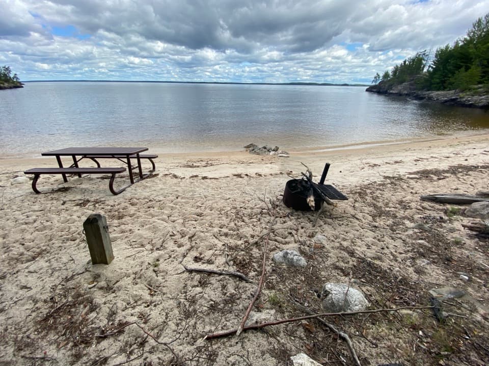 Beach · 0.8 mi awayFinger Bay BeachA sandy Rainy Lake landing for a picnic by boat.
 Beach · 1.2 mi awayAnderson Bay BeachA sandy Rainy Lake picnic stop reached by water.
 Beach · 4 mi awayCrescent BeachA Rainy Lake sand landing for a picnic by boat.
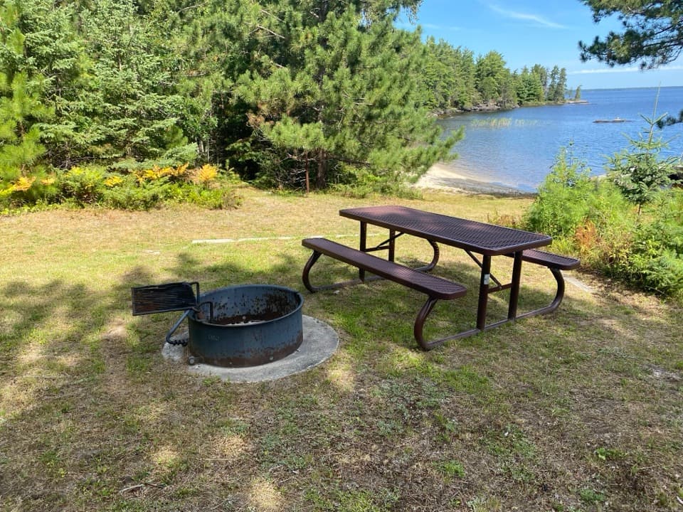 Picnic area · 4.6 mi awayEmerald Bay West Day-Use AreaA Rainy Lake landing for a picnic between boat runs.
 Lodging · 5.4 mi awayKettle Falls HotelA 1913 wilderness hotel with a famously sloping bar floor.
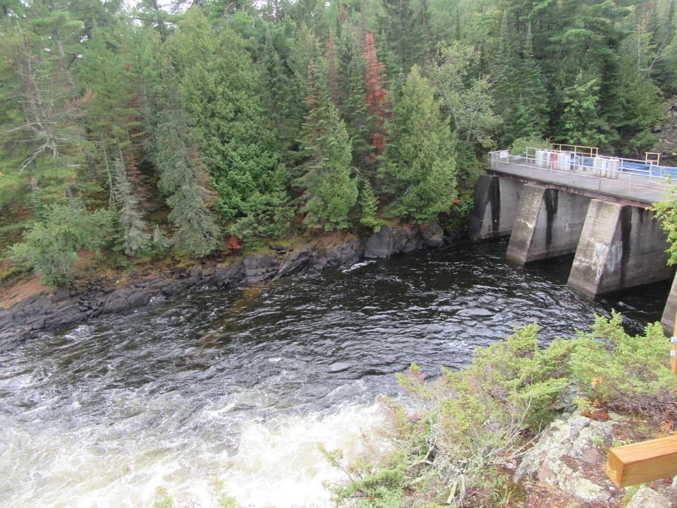 Sight · 5.5 mi awayKettle Falls Dam OverlookLook south into Canada from a dam on the old portage route.
 Sight · 5.9 mi awayI.W. Stevens ResortHistoric cabins, a sauna, and a glimpse of island self-reliance.
Parkwolf’s Voyageurs ranking

The audio tour guide for the drive, plus offline maps, trails, and wildlife heatmaps for when the signal drops.