Lugnaquilla in Wicklow Mountains National Park

#10 of 28 sights in Wicklow Mountains

Sight · Wicklow Mountains National Park

Lugnaquilla

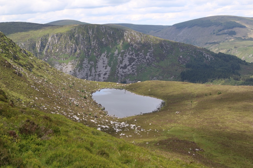
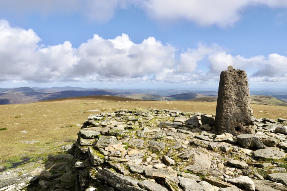
Broad grassy plateau ringed by cliffs, Wales visible on clear days

Photo: Wikimedia Commons

Overview

About Lugnaquilla

Why stop

  • Long-distance views across glacier-shaped uplands
  • A distinctive trig point and open grassy summit plateau

Heads up

  • Wet boggy ground and poor visibility can slow the day
  • Imaal-side routes depend on military range access

Map

Where it is

Loading the Wicklow Mountains map
Full map
SightLugnaquilla52.96715, -6.46463
Keep this map with you offline in the Parkwolf app

Plan your stop

Before you go

Best time to go

  • Long summer days give the widest margin for a slow return; short daylight in the darker months squeezes an already long route.
  • Choose a clear, high-visibility day and allow generous time for navigation on unmarked ground.
  • On the Imaal side, weekday firing normally occurs, so check ahead before travelling whatever the day.
  • Late light is lovely on the valley walls but leaves little room for error if the descent slows.
  • In cloud or wind there is little reward and much more risk.

Access choices and the live-fire range

The western approaches cross the Glen of Imaal, an active military live-fire range that is strictly controlled.

  • Only two designated walking routes cross military land, and only when no training is taking place.
  • Northern route: from the Knickeen / Ogham Stone junction via Stranahealy Forest, Oiltiagh Brook, Knockamunion and Table Mountain.
  • Southern route: from Fenton's Pub up Camara Hill toward the summit.
  • Red flags, flashing lights and sentries mean the range is closed. Do not proceed.
  • There is a real unexploded ordnance risk. Stay on the designated routes and obey all signs.
  • Firing normally takes place Monday to Friday, but firing times can vary, so everyone planning an Imaal-side walk must check ahead on any day of the week.

3 active Wicklow Mountains alerts

  • CautionExtreme upland fire riskDo not use solid-fuel BBQs in Wicklow Mountains National Park, and take extreme care with cigarettes and other naked flames because the hills are dry and at extreme risk of fire.Official details
  • CautionGlendalough Spinc trail works and intermittent disruptionsExpect intermittent disruption on the Glendalough Spinc trails while NPWS upgrades the White Trail.Official details
See all 3 alerts
A park ranger sits on a dash-mounted phone, talking, as Parkwolf’s Tour Guide plays “Army Cutworm Moths: A Grizzly Bear Buffet” on Grand Loop Road below Dunraven Pass in Yellowstone
Parkwolf Tour GuideThe highest, rockiest slopes around here are a summer buffet for grizzly bears.

Wicklow Mountains Tour Guide

Your drive to Lugnaquilla, narrated.

Parkwolf is a GPS audio tour guide for Wicklow Mountains National Park. As you drive, it chimes in with what’s ahead: hidden gems, upcoming stops, history, geology, and wildlife, right through your car’s speakers.

More stories near here in the app

  • Hero Mine
  • Wicklow Gap and Tonelagee
  • Glendalough Upper Lake
  • 55 audio storiesacross Wicklow Mountains’s roads, triggered by GPS as you drive
  • Wildlife heatmapsfor Sika Deer, Red Deer, Grey Heron, and 3 more
  • Works offlinemaps, 34 trails, 31 places, and audio download before you lose signal
  • CarPlay readysimple controls built for the drive
★★★★★
“Fantastic app with many points of information… It’s great to just turn on while you’re driving and it gives you an audio tour of the national Park. We love it!!!!”
JMJamesApp Store review
Download Parkwolf on the App StoreGet Parkwolf on Google Play

4.7 from 8,600+ ratings

Guide

More about Lugnaquilla

The experienceAt 925m, this is the highest of Wicklow's 27 peaks, and the top is not a sharp point but a…

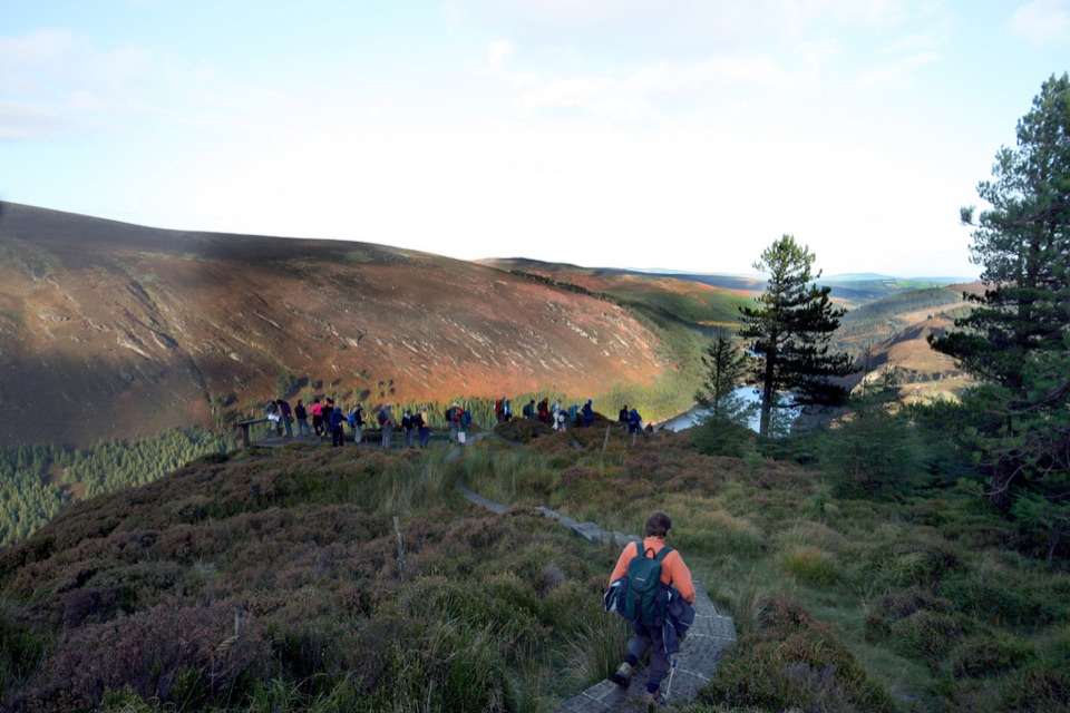
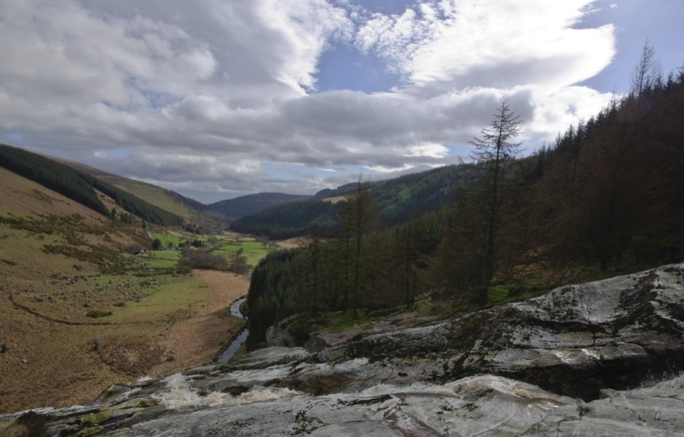
At 925m, this is the highest of Wicklow's 27 peaks, and the top is not a sharp point but a broad, flat, grassy plateau. Cliffs fall away from its edges into glacier-carved hollows, and on genuinely clear days views stretch as far as Wales. The ground is wet and boggy underfoot, the weather changes quickly, and visibility can close in fast.

What makes it distinctA summit plateau rather than a cone, so the ground can feel featureless in cloud.
  • A summit plateau rather than a cone, so the ground can feel featureless in cloud.
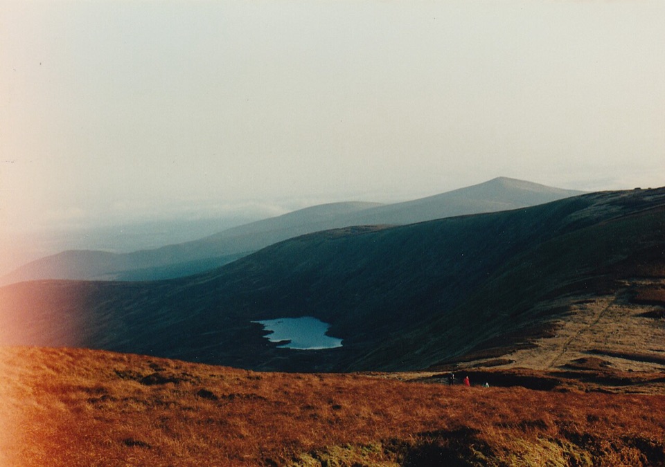
  • Surrounded by classic glacial landforms: U-shaped valleys, corrie lakes, moraines and hanging valleys.
  • Underlying granite core with metamorphic schists, the reason for the rounded uplands and steep valley walls.
The Glenmalure approachFrom the east, walkers start in the Glenmalure valley, with parking areas near Baravore and…

From the east, walkers start in the Glenmalure valley, with parking areas near Baravore and Glenmalure. One documented outing begins at Ballinafunshoge, roughly 3.5km from Glenmalure Lodge, passing through Bendoo Woods and the Art's Lough area onto Cloghernagh before the final rise. That account came to just under 16km and around five hours, which is one walker's pace rather than a standard.

This approach is demanding and unmarked. Expect a long day with sustained ascent.

Terrain and navigationRoutes are not signposted; map and compass skills are essential, and you should not rely on a…
  • Routes are not signposted; map and compass skills are essential, and you should not rely on a phone alone.
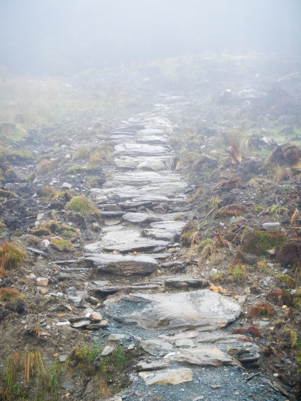
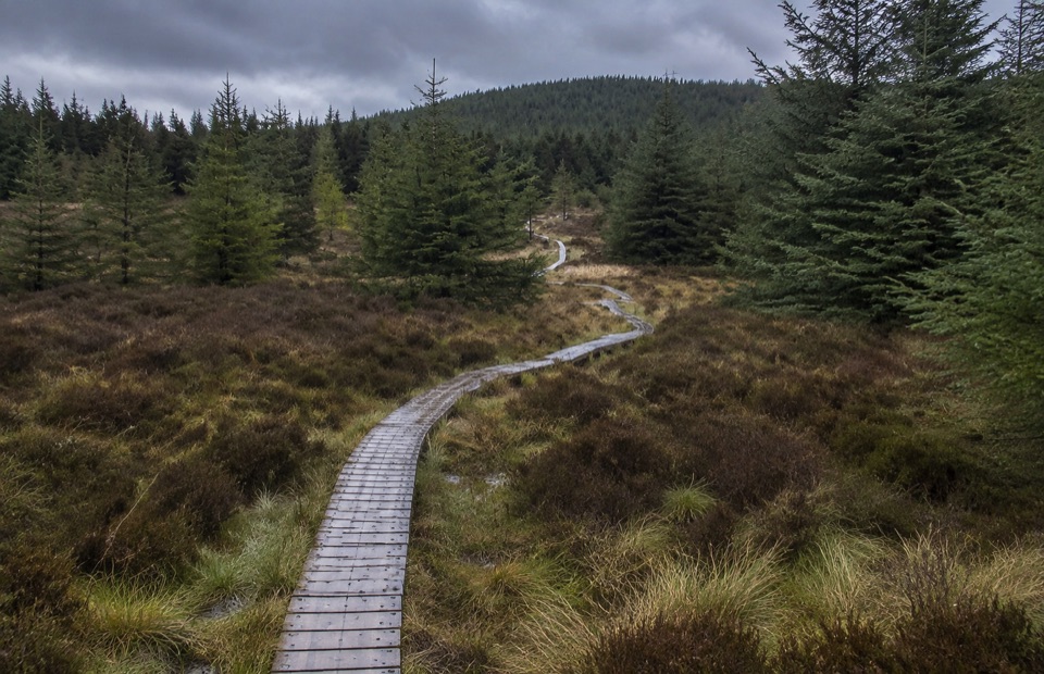
  • Ground is wet and uneven in places.
  • Poor visibility on the plateau is genuinely disorienting.
  • Only experienced hillwalkers should venture onto these tops.
What to bringProper hiking boots and full waterproofs
  • Proper hiking boots and full waterproofs
  • Extra layers, hat and gloves for a cold, exposed top
  • Map, compass and the skill to use them
  • All your food and water, plus a head torch
  • Check the weather forecast before setting out
Honest drawbacksThere are no facilities at the summit.
  • There are no facilities at the summit. No water, no food, no services; carry everything you need.
  • Boggy, saturated ground is common and boots will get wet.
  • Views are far from guaranteed; many walkers reach the top in cloud.
  • Imaal-side access depends on military activity and can be unavailable.
  • Distances are long and the going is slow.
Responsible useKeep dogs on a lead, camp only in a wilderness style, and light no fires.

Keep dogs on a lead, camp only in a wilderness style, and light no fires. The uplands carry heather, gorse and bogland vegetation that is easily damaged.

Wildlife

Wildlife in Wicklow Mountains

All Wicklow Mountains wildlife maps

Sighting maps show where each species has been reported across Wicklow Mountains. Wildlife moves, so no sighting is guaranteed.

Parkwolf’s Wicklow Mountains ranking

Top sights in Wicklow Mountains

All 31 places
  1. 1Glendalough Monastic Site and Visitor CentreSight
  2. 2Glendalough Upper LakeSight
  3. 3Sally GapSight
  4. 4Lough Tay Viewing PointSight
  5. 5Glenmacnass WaterfallSight
  6. 6Miners' VillageSight

Take Parkwolf to Wicklow Mountains.

The audio tour guide for the drive, plus offline maps, trails, and wildlife heatmaps for when the signal drops.

4.7 from 8,600+ ratings

Download Parkwolf on the App StoreGet Parkwolf on Google Play