Ballinafunshoge Waterfall in Wicklow Mountains National Park

Sight · Wicklow Mountains National Park

Ballinafunshoge Waterfall

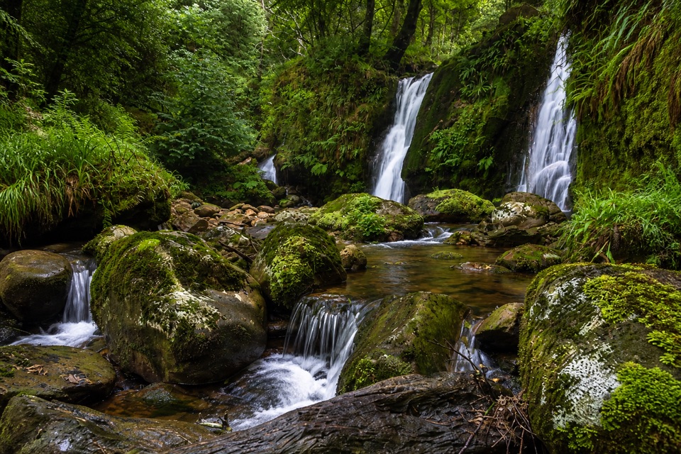
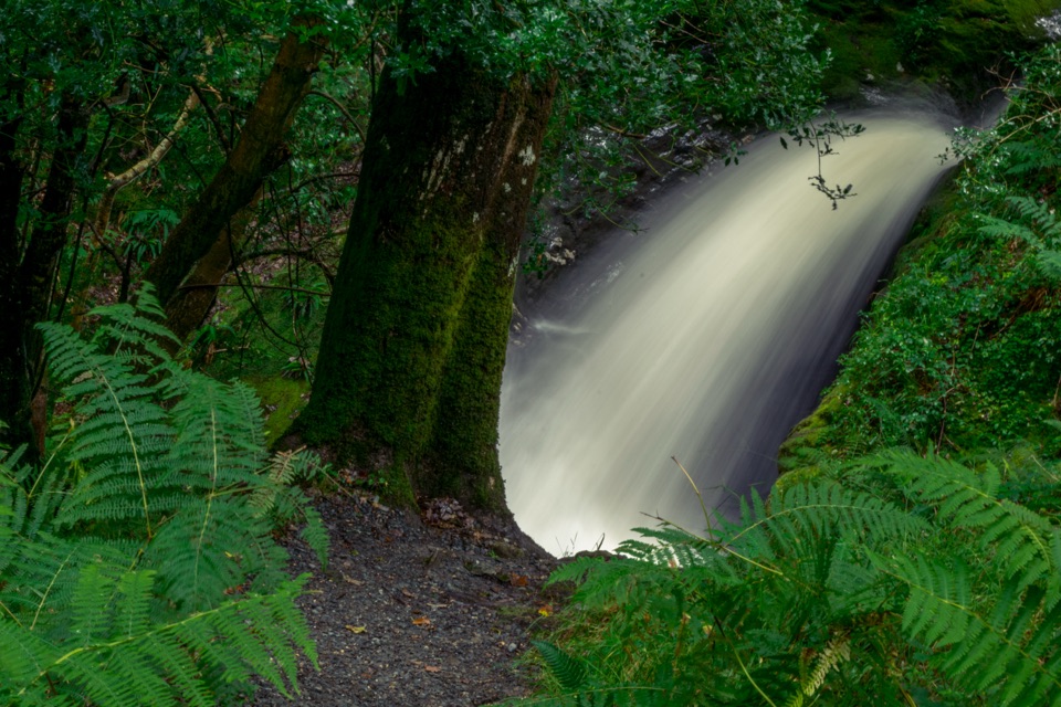
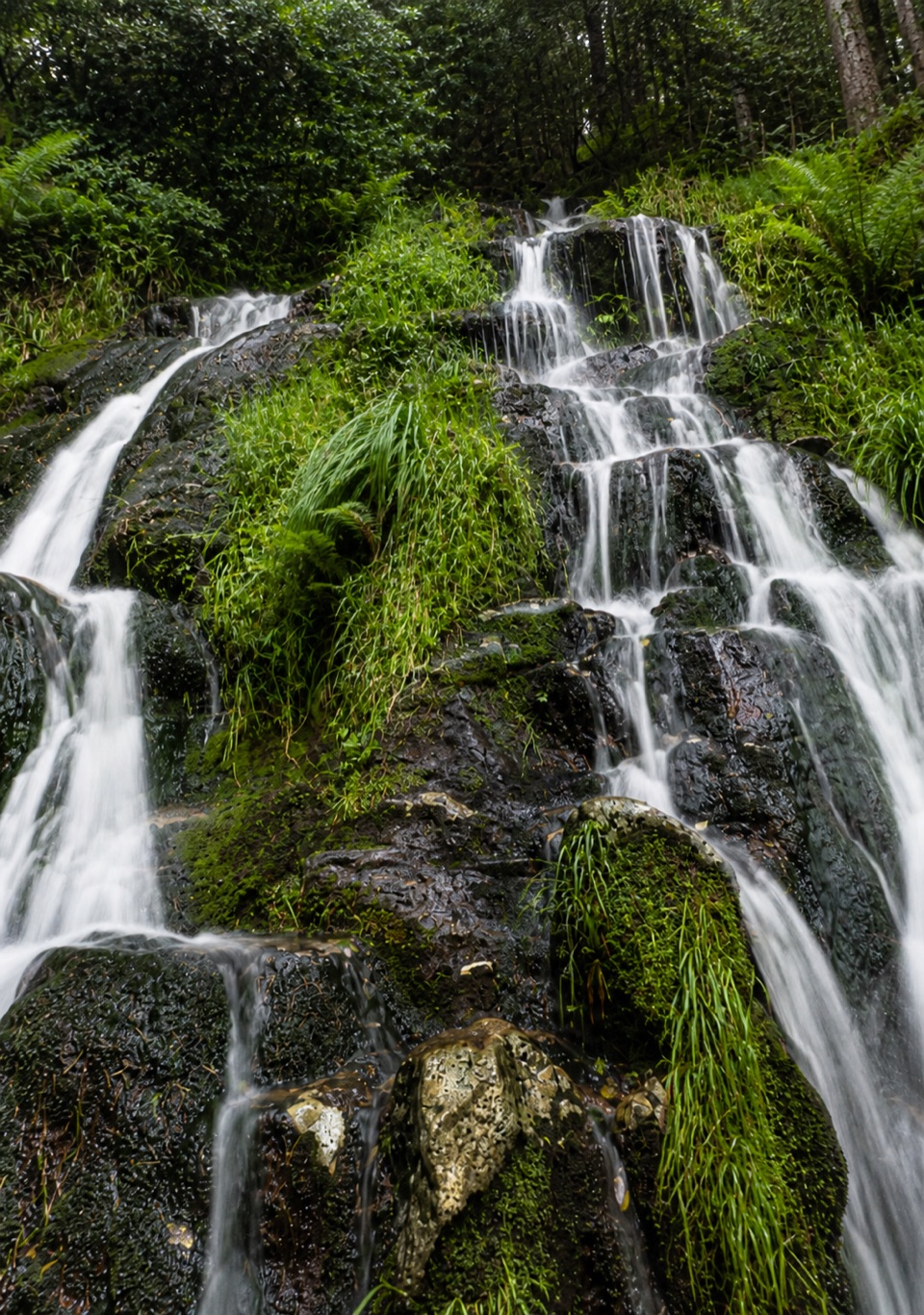
Steps from a tiny Glenmalure car park, water drops over mossy ledges

Overview

About Ballinafunshoge Waterfall

Why stop

  • Stepped woodland cascade with a peaceful Glenmalure setting

Heads up

  • Flow can be modest after dry weather
  • Wet ledges and short steep sections need care

Map

Where it is

Loading the Wicklow Mountains map
Full map
SightBallinafunshoge Waterfall52.97528, -6.39121
Keep this map with you offline in the Parkwolf app

Plan your stop

Before you go

Best time to go

Go after recent rain. Flow here varies a lot with the season and how wet the previous days have been, and in dry spells it can be underwhelming. Soft overcast light suits the woodland setting better than harsh sun, and early morning is the calmest window since the same car park serves hikers heading uphill.


Getting there

  • From Laragh, take the R755 towards Rathdrum, then turn onto the Military Road after Bookey Bridge.
  • Continue past the disused mines; the stone-edged car park is on the right.
  • The car park holds roughly 10 cars, which fills quickly on good days, so arriving early or on a weekday is the practical move.

3 active Wicklow Mountains alerts

  • CautionExtreme upland fire riskDo not use solid-fuel BBQs in Wicklow Mountains National Park, and take extreme care with cigarettes and other naked flames because the hills are dry and at extreme risk of fire.Official details
  • CautionGlendalough Spinc trail works and intermittent disruptionsExpect intermittent disruption on the Glendalough Spinc trails while NPWS upgrades the White Trail.Official details
See all 3 alerts
A park ranger sits on a dash-mounted phone, talking, as Parkwolf’s Tour Guide plays “Army Cutworm Moths: A Grizzly Bear Buffet” on Grand Loop Road below Dunraven Pass in Yellowstone
Parkwolf Tour GuideThe highest, rockiest slopes around here are a summer buffet for grizzly bears.

Wicklow Mountains Tour Guide

Your drive to Ballinafunshoge Waterfall, narrated.

Parkwolf is a GPS audio tour guide for Wicklow Mountains National Park. As you drive, it chimes in with what’s ahead: hidden gems, upcoming stops, history, geology, and wildlife, right through your car’s speakers.

More stories near here in the app

  • Glendalough Upper Lake
  • Hero Mine
  • The Walker Who Mapped a Way
  • Glendalough Monastic Site and Lower Lake
  • 55 audio storiesacross Wicklow Mountains’s roads, triggered by GPS as you drive
  • Wildlife heatmapsfor Sika Deer, Red Deer, Grey Heron, and 3 more
  • Works offlinemaps, 34 trails, 31 places, and audio download before you lose signal
  • CarPlay readysimple controls built for the drive
★★★★★
“Fantastic app with many points of information… It’s great to just turn on while you’re driving and it gives you an audio tour of the national Park. We love it!!!!”
JMJamesApp Store review
Download Parkwolf on the App StoreGet Parkwolf on Google Play

4.7 from 8,600+ ratings

Guide

More about Ballinafunshoge Waterfall

What you actually seeA small waterfall spilling over a series of rock ledges in woodland on the floor of Glenmalure,…

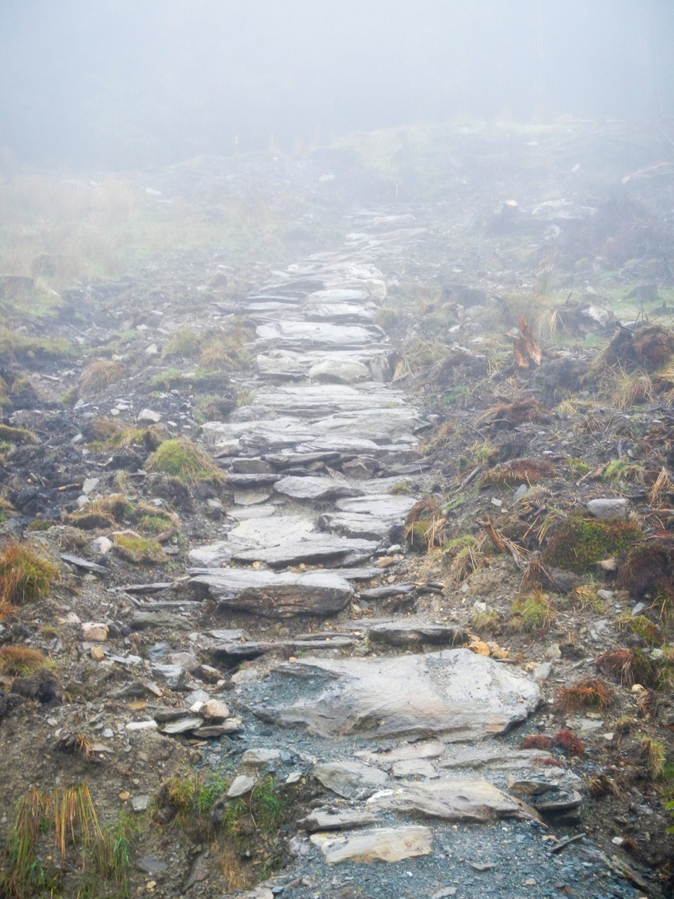
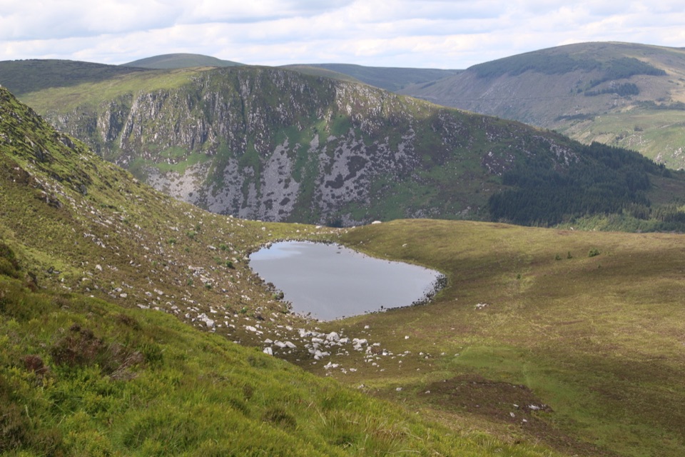
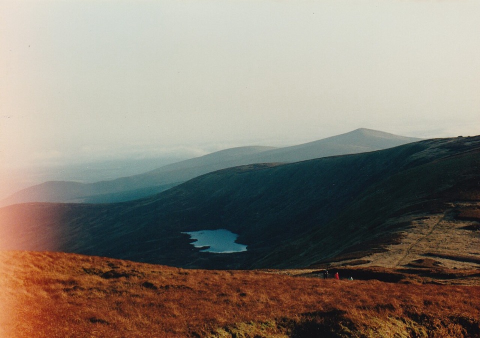
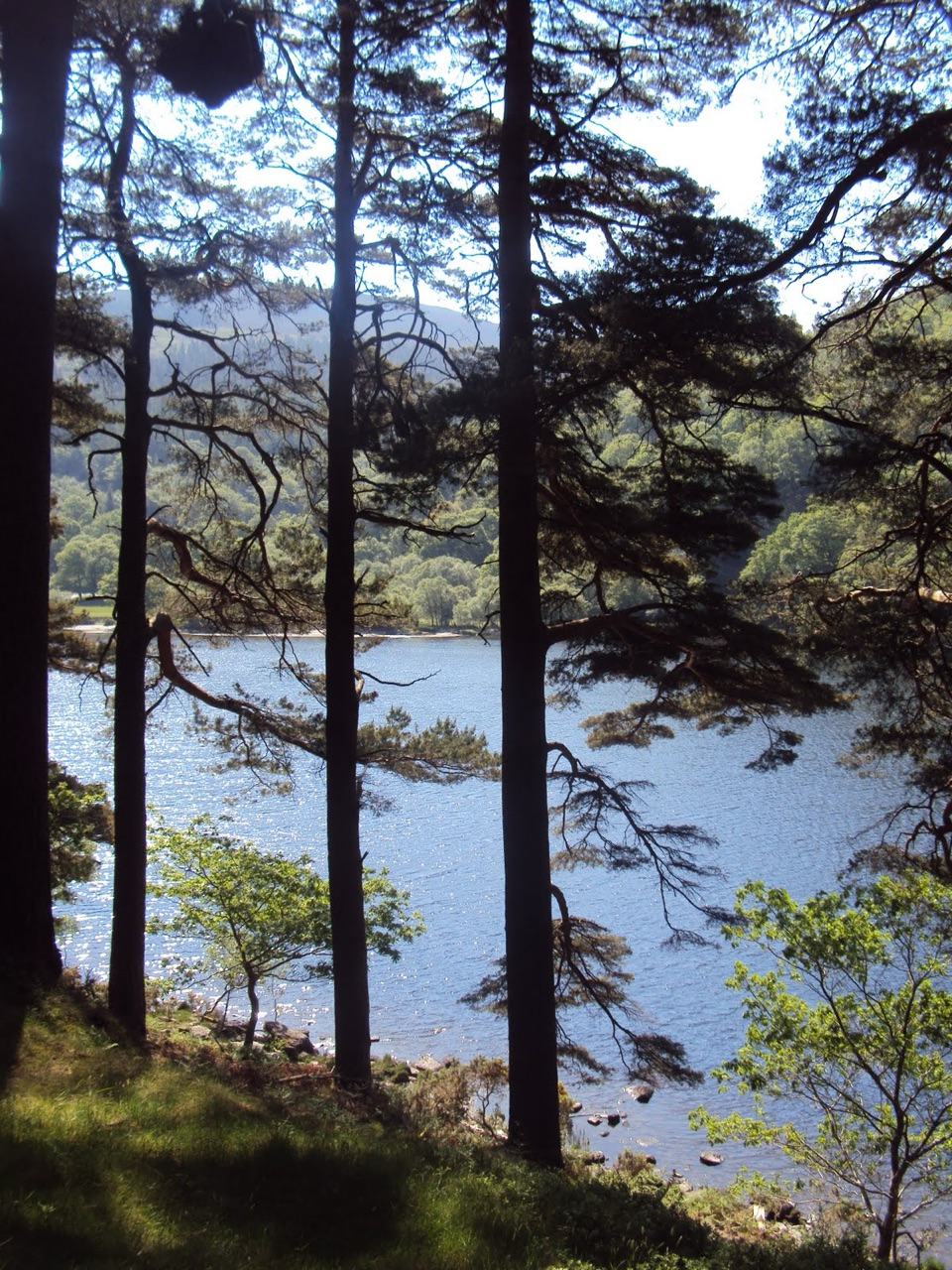
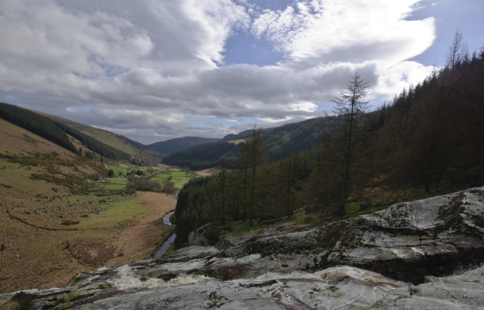
A small waterfall spilling over a series of rock ledges in woodland on the floor of Glenmalure, a wide glacial valley of heather-covered mountains, streams and rivers close to Glendalough. It sits right beside the car park, so the walk in is measured in seconds rather than minutes. Visitors consistently call it charming and peaceful, and it photographs nicely thanks to the stepped drops, but be realistic: this is a modest fall, not a thundering set piece.

Walks from the same spotIf you want more than a photo stop, two waymarked routes start here and both are strenuous, not…

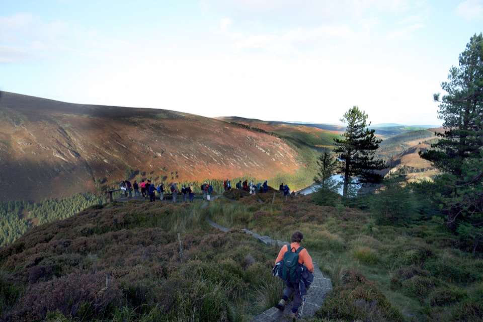
If you want more than a photo stop, two waymarked routes start here and both are strenuous, not casual strolls:

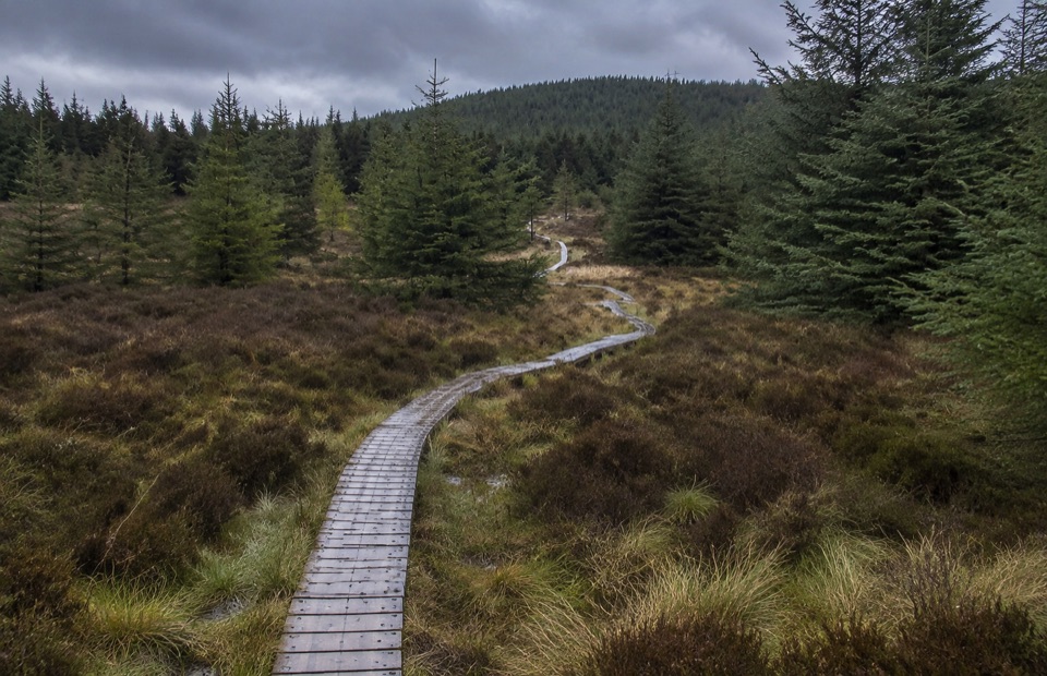
A section of the Wicklow Way also passes through Ballinafunshoge, which makes this a handy pause for long-distance walkers.

  • Miner's Way: about 1.6 km, roughly 30 minutes, climbing for views over Glenmalure.
  • Mountain Access Route: about 2.6 km, roughly 50 minutes, linear, so plan your return.
Practicalities and honest drawbacksOn-site facilities are limited to the car park, the waterfall and the walking trails, so bring…
  • On-site facilities are limited to the car park, the waterfall and the walking trails, so bring water, food and anything else you need.
  • Wet rocks and short steep, rough sections make sturdy footwear sensible. Admire the falls from the bank rather than scrambling on the ledges or into the water.
  • It is a quick stop by design. Pair it with a walk or with Glendalough nearby.
A little backgroundThe trees at Ballinafunshoge were the setting for the 1580 Battle of Glenmalure, where Fiach…

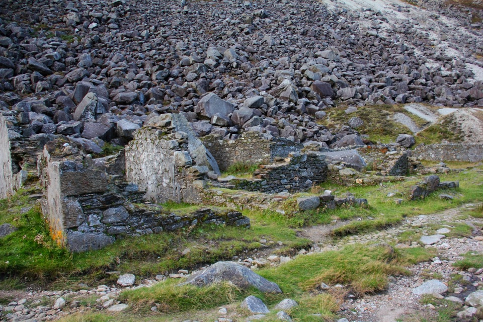
The trees at Ballinafunshoge were the setting for the 1580 Battle of Glenmalure, where Fiach McHugh O'Byrne's rebels defeated 800 English soldiers. The disused lead mines you pass on the approach opened in 1797 and worked until 1864, producing up to 400 tons of lead ore a year, which is why the old miners' paths still climb the valley sides.

Wildlife

Wildlife in Wicklow Mountains

All Wicklow Mountains wildlife maps

Sighting maps show where each species has been reported across Wicklow Mountains. Wildlife moves, so no sighting is guaranteed.

Keep exploring

Near Ballinafunshoge Waterfall

See it all on the map

Trails nearby

More stops nearby

Parkwolf’s Wicklow Mountains ranking

Top sights in Wicklow Mountains

All 31 places
  1. 1Glendalough Monastic Site and Visitor CentreSight
  2. 2Glendalough Upper LakeSight
  3. 3Sally GapSight
  4. 4Lough Tay Viewing PointSight
  5. 5Glenmacnass WaterfallSight
  6. 6Miners' VillageSight

Take Parkwolf to Wicklow Mountains.

The audio tour guide for the drive, plus offline maps, trails, and wildlife heatmaps for when the signal drops.

4.7 from 8,600+ ratings

Download Parkwolf on the App StoreGet Parkwolf on Google Play