Parking
Drumgoff Recreation Area Forest Car Park sits above the Military Road, about 3 km beyond Drumgoff Cross Roads when approaching from Laragh or Glendalough.
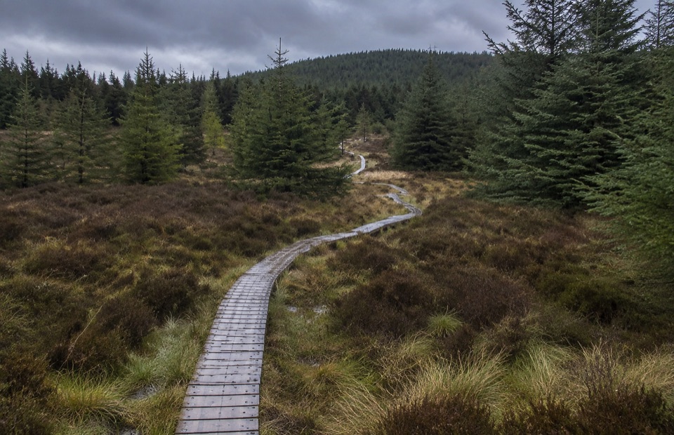
Wicklow Mountains National Park, WW
Steady forest climb to boardwalk and open upland below Carrawaystick
Overview
A linear mountain-access walk of 2.5 km one way (about 1 hour), climbing roughly 180 m to a high point near 500 m. It is waymarked with white markers and ends at the mapped access point below Carrawaystick Mountain.
Map & elevation
Plan your hike

The highest, rockiest slopes around here are a summer buffet for grizzly bears.
Wicklow Mountains Tour Guide
Parkwolf is a GPS audio tour guide for Wicklow Mountains National Park. As you drive, it chimes in with what’s ahead: hidden gems, upcoming stops, history, geology, and wildlife, right through your car’s speakers.
More stories near here in the app
“Fantastic app with many points of information… It’s great to just turn on while you’re driving and it gives you an audio tour of the national Park. We love it!!!!”


Trail guide
From the forest car park the track gains height steadily through conifer woodland on forest roads, then changes character as trees give way to boardwalk laid over heather ground. The reward is the transition itself: a quiet, enclosed climb that opens out to upland air and the edge of remote ground toward Carrawaystick and Kelly's Lough. Treat it as a graded approach rather than a set-piece viewpoint.
The grade is moderate but persistent, suited to fit walkers who are comfortable with a continuous climb. Underfoot you get forest track and firm ground, then timber boardwalk with a few short steps. Wet weather makes both wood and bare ground slick, so allow extra time and use footwear with grip.
Wayfinding is the main ongoing challenge. The network of forest roads produces junctions that look alike, and it is easy to drift onto a spur. Keep the white markers in sight and confirm each junction before committing. Carry a map and know how to use it, since signage alone is not always enough in poor visibility.
Start at Drumgoff Recreation Area Forest Car Park. From Laragh or Glendalough, follow the Military Road south to Drumgoff Cross Roads, continue about 3 km, and the forest car park sits on the right above the road. Because the walk is linear, plan to return the same way unless you have arranged onward transport.
The marked access route stops below Carrawaystick Mountain. Continuing into the open hills toward Carrawaystick, Cloghernagh or Lugnaquilla is a significantly harder undertaking on unmarked, remote ground, and anyone going on should be properly equipped and able to navigate in difficult conditions. The Wicklow Way also passes through Drumgoff Wood as a much longer through-route, which is a separate journey from this short climb.
Wildlife
 204 sightingsSika DeerMost seen around 7 AMSighting map
 18 sightingsRed DeerMost seen around 7 AMSighting map
 15 sightingsGrey HeronMost seen around 7 PMSighting map
 11 sightingsCommon RavenMost seen around 8 AMSighting map
 28 sightingsEuropean Common FrogMost seen around 7 PMSighting map
 11 sightingsViviparous LizardMost seen around 11 AMSighting map
Sighting maps show where each species has been reported across Wicklow Mountains. Wildlife moves, so no sighting is guaranteed.
Keep exploring
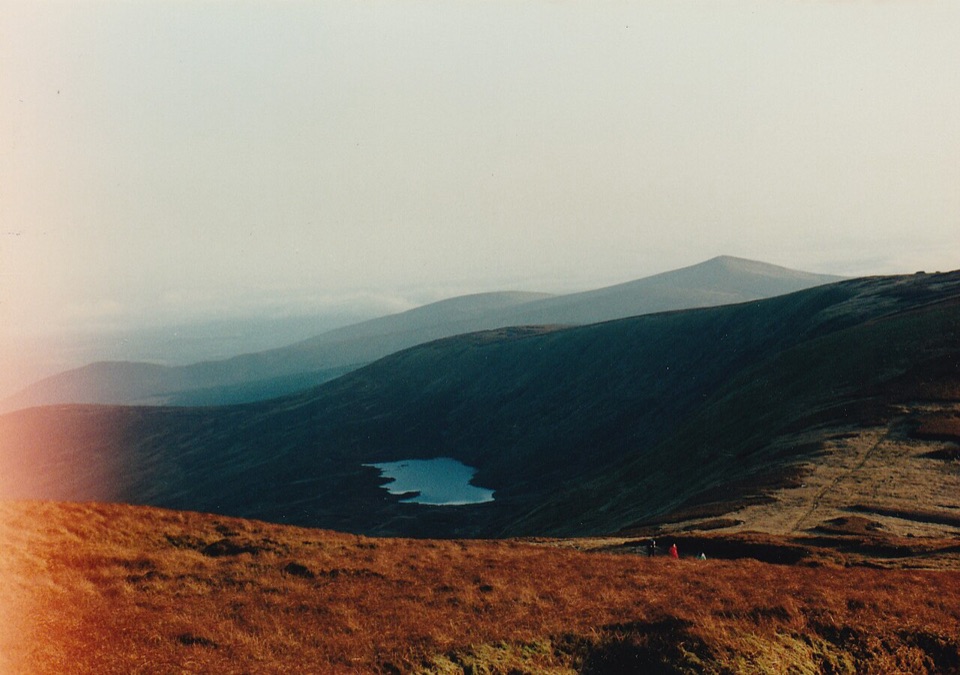 ModerateDrumgoff – Kelly’s Lough14.3 km · 4.8 hr · At the trailheadForest tracks and boardwalks climb to a quiet upland lough
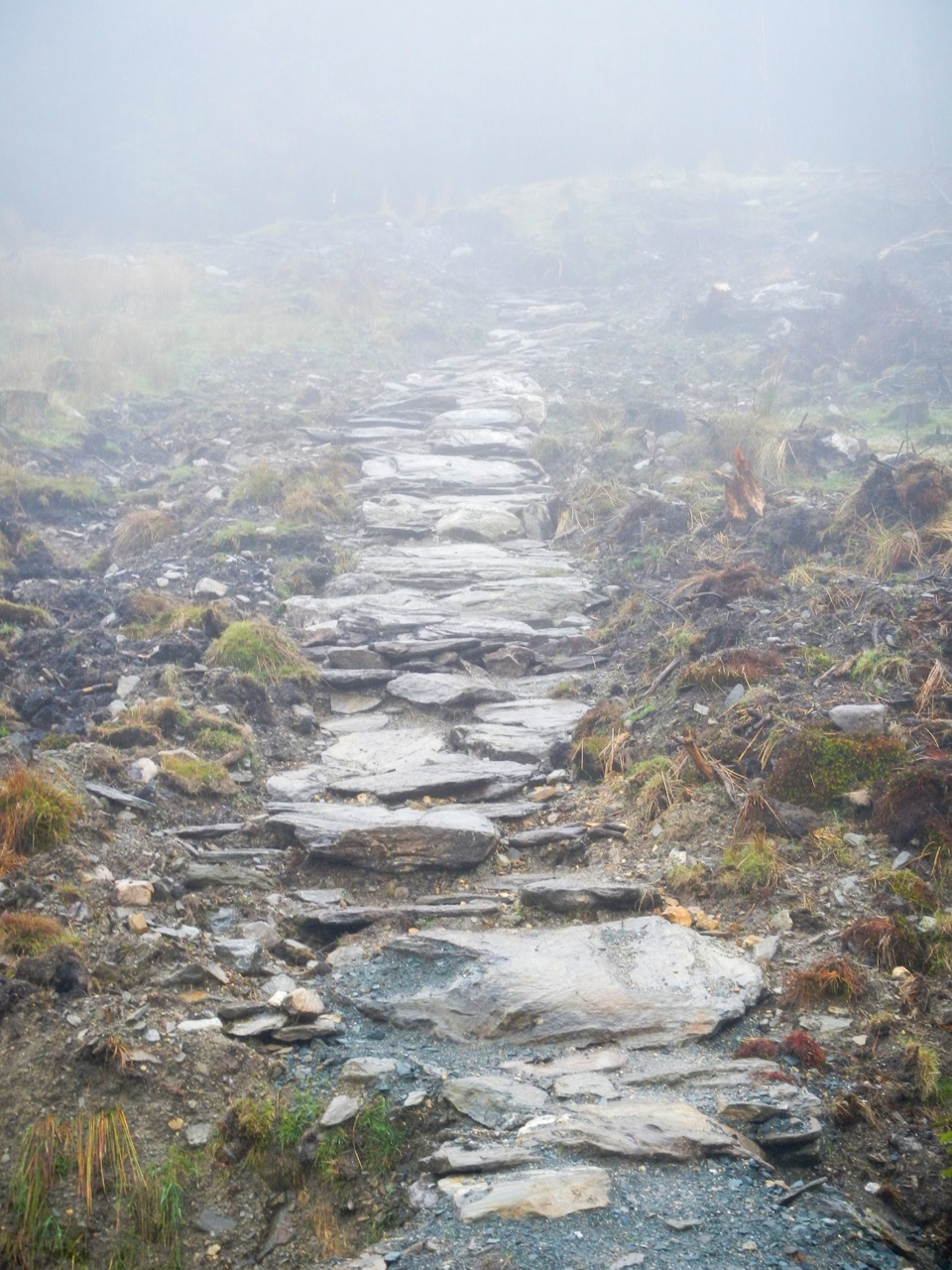 ChallengingBallinafunshogue Walk - Mountain Access Trail8.9 km · 3.3 hr · 4 km awaySustained forest climb from Glenmalure to the open Mullacor Saddle
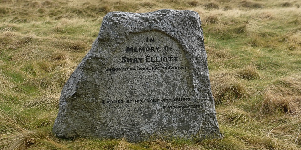 EasyShay Elliott Glenmalure – Mountain Access Route1.4 km · 20 min · 4.8 km awayEasy 1.4 km forest link from a high pass to open mountain
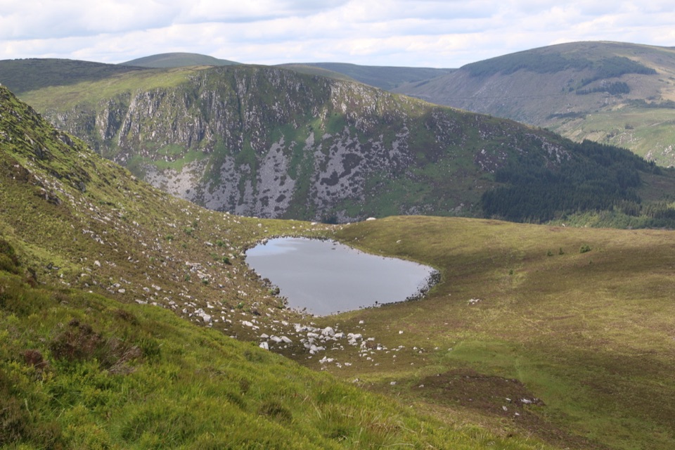 ModerateArt’s Lough Loop8.9 km · 3.3 hr · 5.9 km awayForest zigzags to a peat-dark upland lough, then rough open ground home
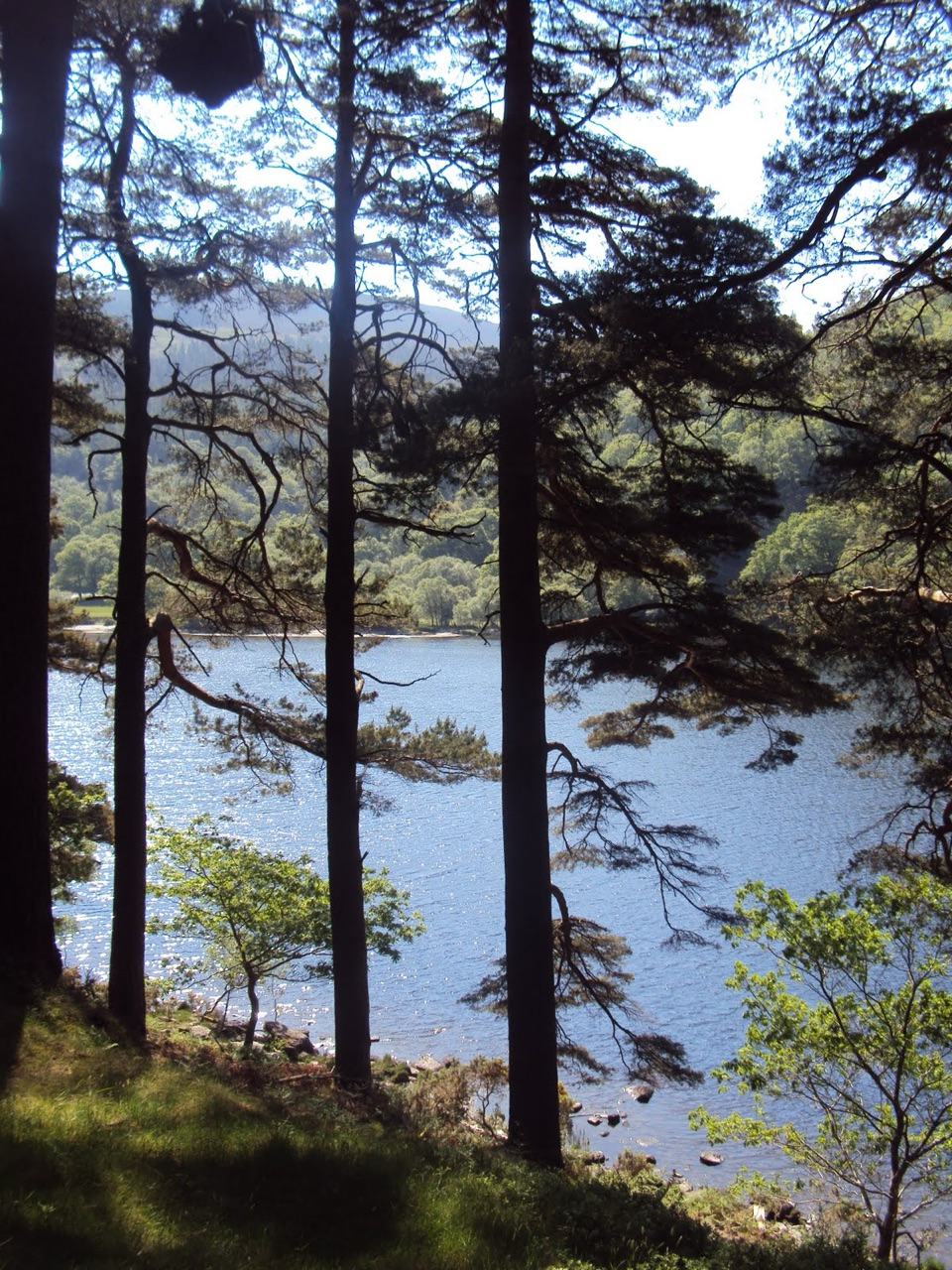 ModerateDerrybawn Woodland Trail8 km · 2 hr · 7.4 km awaySteep woodland climb, then an 8 km forest-road loop above the two lakes
 ChallengingSpinc and Glenealo Valley (White Route)9.5 km · 3.3 hr · 7.4 km awaySteep steps to cliff-top views over two lakes and a deer-filled valley
 ChallengingSpinc and the Wicklow Way (Red Route)11.5 km · 4.3 hr · 7.4 km awayBoardwalk cliff path, twin-lake views and a hard 11.5 km mountain loop
 EasyMiners’ Road Walk (Purple Route)5 km · 1.2 hr · 7.4 km awayFlat lakeshore track through Scots pine to a ruined mining village
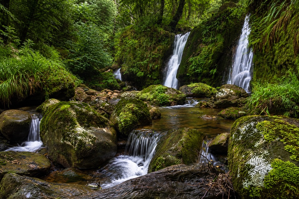 Sight · 2.6 km awayCoolalingo WaterfallsUnsigned cascades and pools a short scramble from Coolalingo Bridge
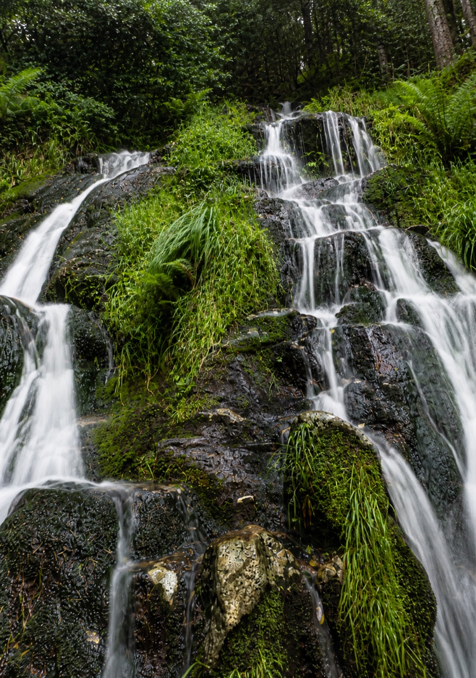 Sight · 4.1 km awayBallinafunshoge WaterfallSteps from a tiny Glenmalure car park, water drops over mossy ledges
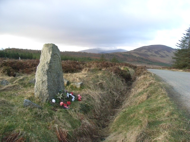 Sight · 4.8 km awayShay Elliott MemorialA roadside stone for Ireland's first Tour de France stage winner
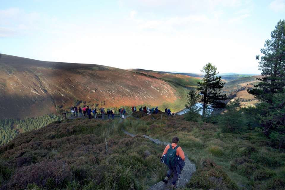 Sight · 6.7 km awayGlendalough ViewpointEarn a boardwalk-high view over both lakes and the Miners' Village
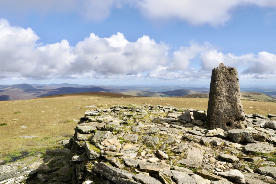 Sight · 6.8 km awayLugnaquillaBroad grassy plateau ringed by cliffs, Wales visible on clear days
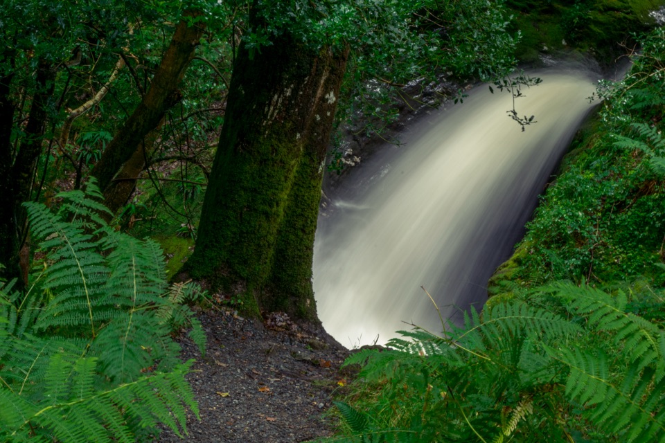 Sight · 7.1 km awayPoulanass WaterfallSteep wooded climb to dark plunge pools above the Upper Lake
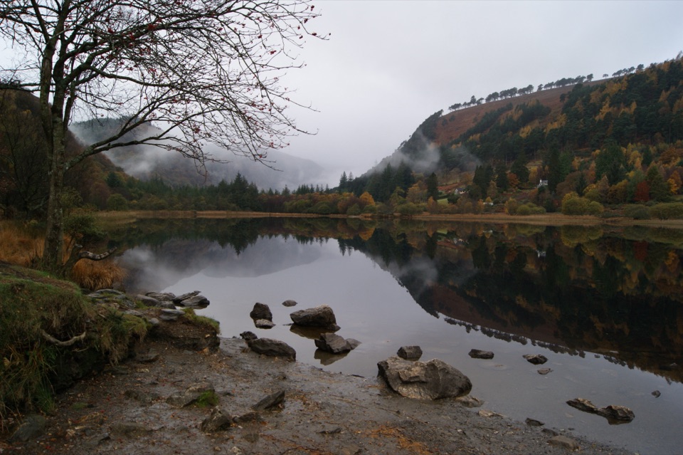 Sight · 7.3 km awayGlendalough Upper LakeA glacier-carved lake under steep cliffs, with a sandy eastern shore
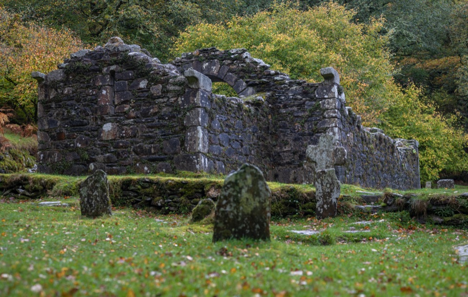 Sight · 7.3 km awayReefert ChurchRuined granite church among trees, burial place of the kings
Parkwolf’s Wicklow Mountains ranking
Spinc and Glenealo Valley (White Route)Challenging · 9.5 km The Wicklow WayChallenging · 130 km
 Djouce Mountain from J.B. Malone Car ParkChallenging · 7.4 km
 Tonelagee & Lough Ouler TrailChallenging · 7.9 kmSpinc and the Wicklow Way (Red Route)Challenging · 11.5 kmMiners’ Road Walk (Purple Route)Easy · 5 km
The audio tour guide for the drive, plus offline maps, trails, and wildlife heatmaps for when the signal drops.