Big Drift in Wilsons Promontory National Park

#4 of 29 sights in Wilsons Promontory

Sight · Wilsons Promontory National Park

Big Drift

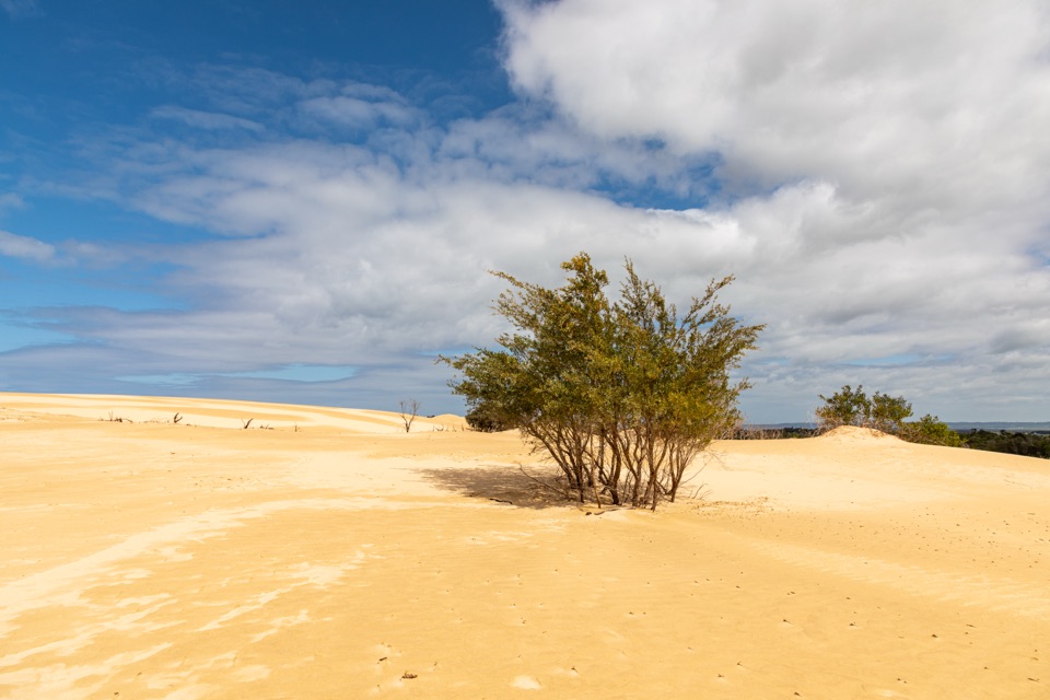
A steep sand climb into an inland dune field.

Photo: Wikimedia Commons
Type
Sight
Nearest trail
2.5 km
Audio stories
1 nearby
  • Parking
  • Trailhead

Hear the audio tour

The Walk to Big Drift

Overview

About Big Drift

Why stop

  • An unusual inland dune landscape with views toward the coast.

Heads up

  • The steep, loose-sand climb is tiring, and it’s easy to lose your bearings.

Map

Where it is

Loading the Wilsons Promontory map
Full map
SightBig Drift-38.87505, 146.22675
Keep this map with you offline in the Parkwolf app

Plan your stop

Before you go

2 active Wilsons Promontory alerts

  • ClosureSouthern area closures and October deer-control restrictionsMentions this placeDo not enter the listed southern visitor areas during their closures, and plan around the October aerial deer-control operation.Official details
  • InfoEntrance traffic management and delaysAllow extra travel time and follow traffic controls at the Wilsons Promontory National Park entrance.Official details
Wilsons Promontory alerts
A park ranger sits on a dash-mounted phone, talking, as Parkwolf’s Tour Guide plays “Army Cutworm Moths: A Grizzly Bear Buffet” on Grand Loop Road below Dunraven Pass in Yellowstone
Parkwolf Tour GuideThe highest, rockiest slopes around here are a summer buffet for grizzly bears.

Wilsons Promontory Tour Guide

Your drive to Big Drift, narrated.

Parkwolf is a GPS audio tour guide for Wilsons Promontory National Park. As you drive, it chimes in with what’s ahead: hidden gems, upcoming stops, history, geology, and wildlife, right through your car’s speakers.

Recorded for this place

The Walk to Big Drift
0:00 / 0:28
“You're approaching Stockyard, where the walk to Big Drift begins. The return is about four and a half kilometres and two hours: a firm track through bush, then a steep climb in loose sand.”

Plays as you drive up to Big Drift in the Parkwolf Wilsons Promontory Tour Guide.

More stories near here in the app

  • Why This Grassland Needs Fire
  • The Sand That Joined the Prom
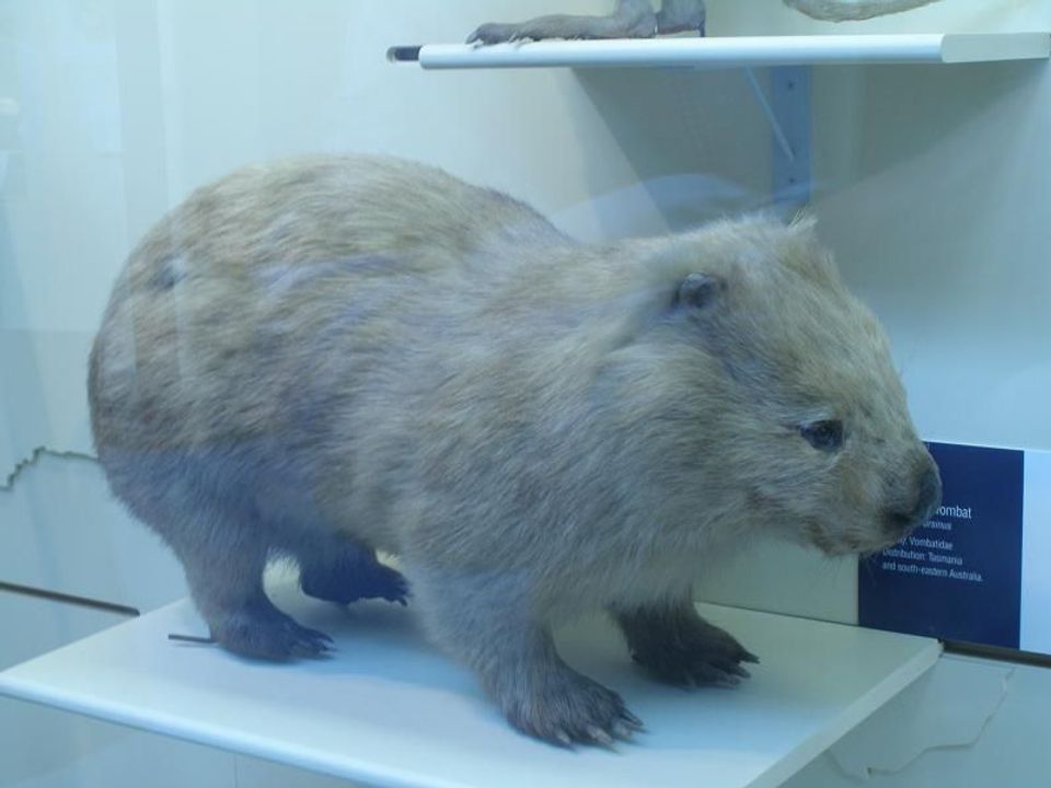
  • The Wombat's Hidden Day
  • Five Mile Road and Millers Landing
  • 22 audio storiesacross Wilsons Promontory’s roads, triggered by GPS as you drive
  • Wildlife heatmapsfor Wedge-tailed Eagle, Koala, Bare-nosed Wombat, and 13 more
  • Works offlinemaps, 36 trails, 46 places, and audio download before you lose signal
  • CarPlay readysimple controls built for the drive
★★★★★
“Fantastic app with many points of information… It’s great to just turn on while you’re driving and it gives you an audio tour of the national Park. We love it!!!!”
JMJamesApp Store review
Download Parkwolf on the App StoreGet Parkwolf on Google Play

4.7 from 8,600+ ratings

Guide

More about Big Drift

A surprising inland landscapeBig Drift is a broad field of wind-shaped sand near the northern entrance to Wilsons Promontory.

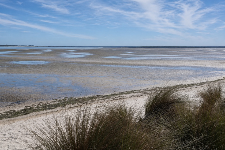
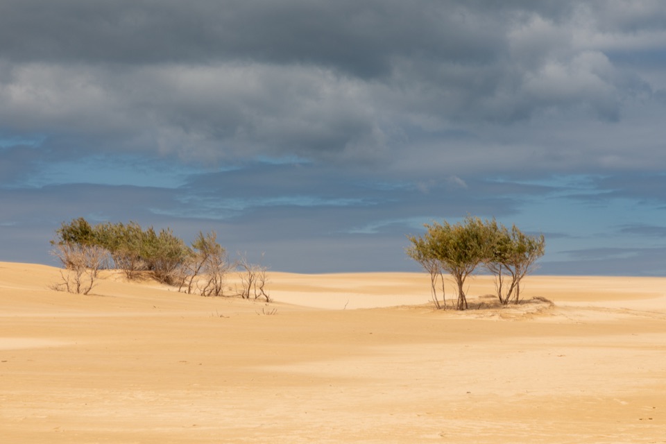
Big Drift is a broad field of wind-shaped sand near the northern entrance to Wilsons Promontory. It sits inland from the park’s beaches: a pale, open expanse framed by bush, with views toward the coast from the higher ridges. Wind keeps drawing new lines and hollows across the surface, so the sand feels like a different kind of Prom landscape from the familiar beaches and headlands. This isn’t a roadside lookout. The dunes are the destination of a walk from Stockyard, and the main payoff comes after you leave the management track and climb onto soft sand. I’d keep it on the list if you want a proper walk and a landscape that feels distinct from the coast. Skip it if you only have time for a quick photo stop or prefer firm, level ground.

The walk does its work at the endStart at Stockyard car park and follow the Big Drift Walk toward the sand field.

Start at Stockyard car park and follow the Big Drift Walk toward the sand field. The approach is about two kilometres each way on a management vehicle track; most of the effort comes when you leave it and climb the loose dunes. Route guides describe roughly four to four-and-a-half kilometres return and around two hours, though mapped totals vary with how much of the dune field is included. Treat that as a planning estimate, and leave extra time if you want to explore farther across the sand. The final climb is steep and tiring because the ground shifts under your feet. It’s a more demanding finish than the easy-looking approach suggests, and there’s no firm trail to make the ascent feel shorter.

Keep the way back in mindOnce you reach the open dunes, you can choose a ridge and follow its curves for changing views…

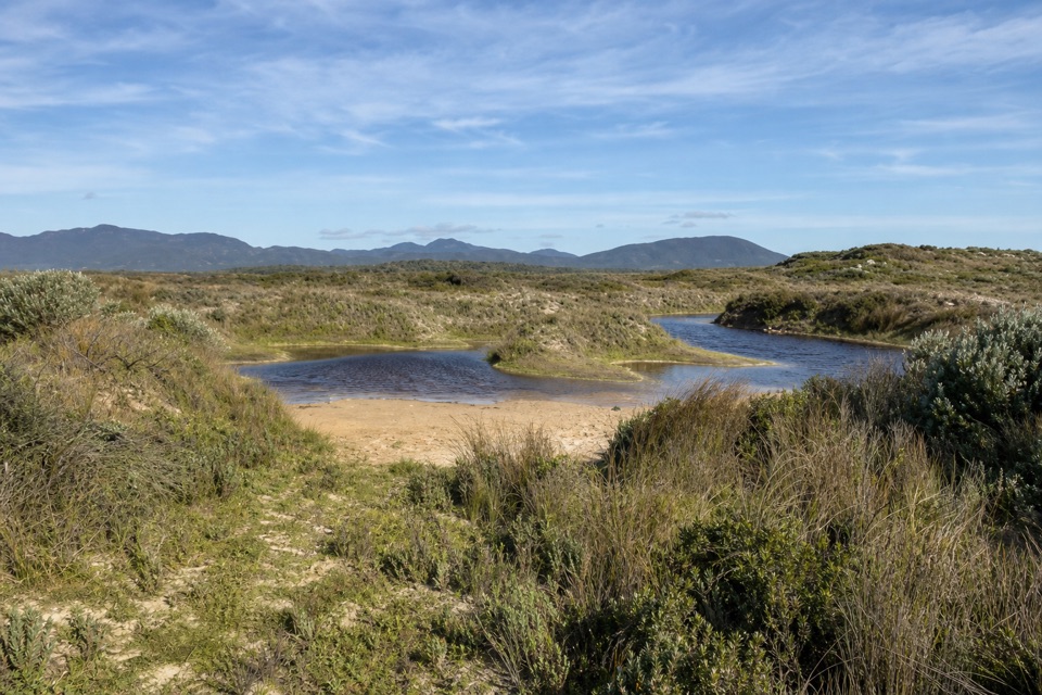
Once you reach the open dunes, you can choose a ridge and follow its curves for changing views across the sand, the surrounding bush and the coast. Wind keeps reshaping the surface, so the lines and hollows won’t stay crisp for long. The dunes also look remarkably similar once you wander away from the access edge, and wind can cover footprints. Keep the Stockyard side in view before ranging far, and pay attention to the route you take back; don’t count on a clear line of footprints to lead you out. For photos, look along a curved ridge with the bush-fringed edge beyond it. That gives the pale slopes a sense of scale, and late-day light can bring out the folds and shadows without turning the whole frame into empty sky.

What to know before you goThis is an out-and-back walk to an open sand field, not a signed loop across the dunes.

This is an out-and-back walk to an open sand field, not a signed loop across the dunes. The loose final climb makes it a poor fit if steep, unstable footing is a problem for you. There are no toilets, drinking taps or bins out on the sand. Food and any other facilities you need have to be sorted before leaving the Stockyard access area. The car park is part of the route, not a place to step straight onto the dunes. Check the official park alerts before setting out, because access to the track and car park can change. If you’re after an unusual landscape and don’t mind earning it on foot, Big Drift is one of the park’s more memorable detours; if you’re short on time, the approach and sandy climb may feel like too much for a quick look.

Wildlife

Wildlife in Wilsons Promontory

All Wilsons Promontory wildlife maps

Sighting maps show where each species has been reported across Wilsons Promontory. Wildlife moves, so no sighting is guaranteed.

Parkwolf’s Wilsons Promontory ranking

Top sights in Wilsons Promontory

All 46 places
  1. 1Squeaky BeachBeach
  2. 2Mount OberonSight
  3. 3Norman BeachBeach
  4. 5Wilsons Promontory LightstationSight
  5. 6Whisky BayBeach
  6. 7Mount BishopSight

Take Parkwolf to Wilsons Promontory.

The audio tour guide for the drive, plus offline maps, trails, and wildlife heatmaps for when the signal drops.

4.7 from 8,600+ ratings

Download Parkwolf on the App StoreGet Parkwolf on Google Play