Parking
Stockyard Carpark, beside Stockyard Campground off Meeniyan–Promontory Road. This is the start for the return route.
Wilsons Promontory National Park, VIC
A bush track to a steep climb onto the Prom’s shifting dunes.
Overview
Map & elevation
Plan your hike

The highest, rockiest slopes around here are a summer buffet for grizzly bears.
Wilsons Promontory Tour Guide
Parkwolf is a GPS audio tour guide for Wilsons Promontory National Park. As you drive, it chimes in with what’s ahead: hidden gems, upcoming stops, history, geology, and wildlife, right through your car’s speakers.
Recorded for this trailhead
The Walk to Big Drift“You're approaching Stockyard, where the walk to Big Drift begins. The return is about four and a half kilometres and two hours: a firm track through bush, then a steep climb in loose sand.”
Plays as you drive up to this trailhead in the Parkwolf Wilsons Promontory Tour Guide.
More stories near here in the app
“Fantastic app with many points of information… It’s great to just turn on while you’re driving and it gives you an audio tour of the national Park. We love it!!!!”


Trail guide
Big Drift Walking Track is a 4.5 km return walk from Stockyard Carpark to the northern edge of the Big Drift, a broad inland dune field. Most of the approach follows a mostly level management track along the park boundary through bush. Allow about two hours for the return trip. It is a compact walk on paper, but the last section changes the effort: you leave firm track for a steep climb in loose sand.
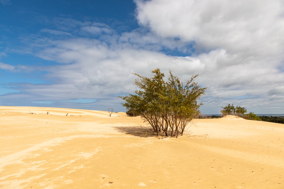
The dunes are the reason to come: pale ridges rise suddenly from the surrounding scrub, and wind keeps reshaping the surface. Sand shifts under every step, so the final rise can feel slower and harder than the distance suggests. Expect Grade 3 walking: the track approach is straightforward, then effort builds on the loose sand. The mapped route gains about 69 m in total, with much of the climbing concentrated near the dunes. The walk itself is an out-and-back to the dune edge. If you spend time wandering across the open sand, leave enough time to retrace your steps. For a photo, include a strip of low scrub against the pale dunes; it helps show the scale of this open landscape.
Start at Stockyard Carpark, beside Stockyard Campground. There is no water source along the route, so plan for the whole return trip without a refill. Dogs and other pets aren't allowed anywhere in the national park. Wind can blow sand across the exposed dunes, where it can be abrasive. The approach is straightforward, but this is a poor fit if loose sand or a steep, shifting surface is a problem for you.
Wildlife
 18 sightingsWedge-tailed EagleMost seen around 11 AMSighting map
 29 sightingsKoalaMost seen around 6 PMSighting map
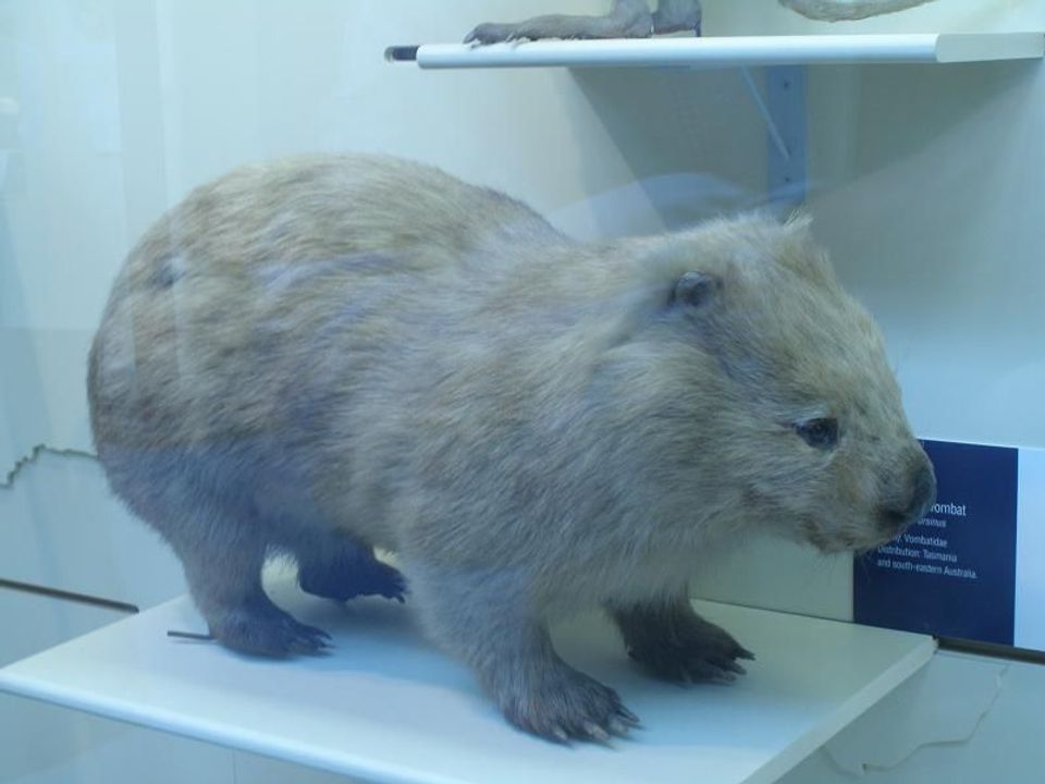 774 sightingsBare-nosed WombatMost seen around 6 PMSighting map
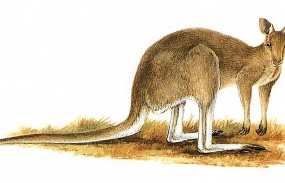 291 sightingsEastern Grey KangarooMost seen around 7 AMSighting map
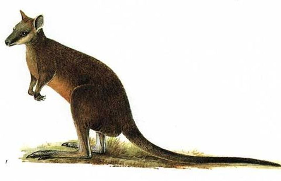 512 sightingsSwamp WallabyMost seen around 6 PMSighting map
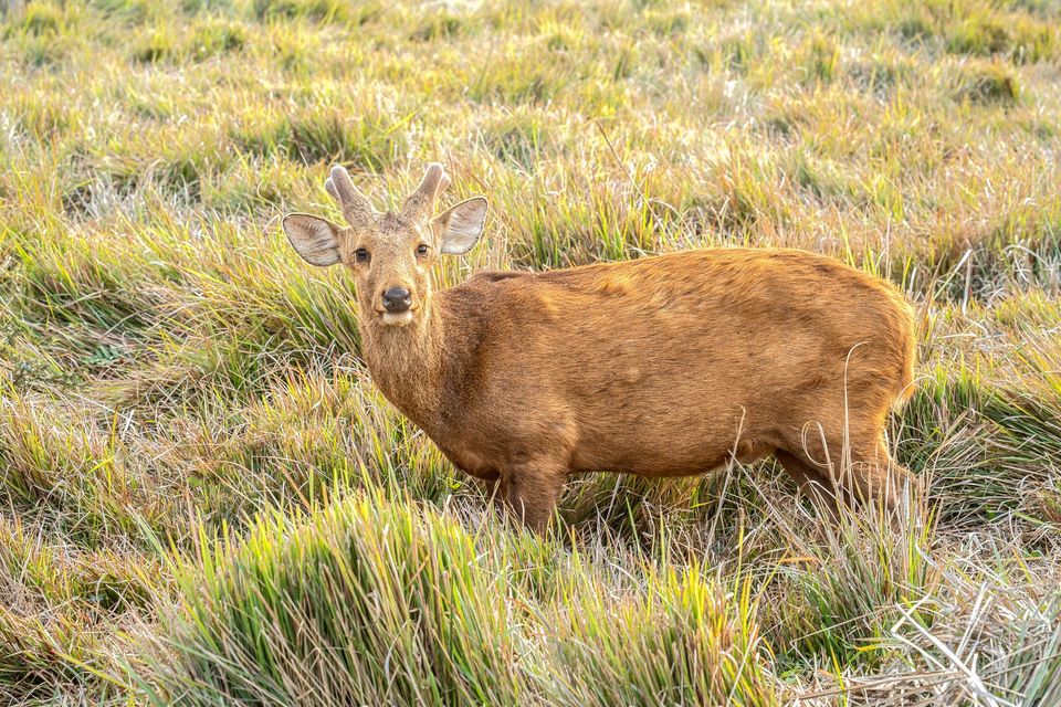 20 sightingsIndochinese Hog DeerMost seen around 7 AMSighting map
Sighting maps show where each species has been reported across Wilsons Promontory. Wildlife moves, so no sighting is guaranteed.
Keep exploring
 EasyYanakie Cemetery Walk1.2 km · 20 min · 0.1 km awayA short walk to the Prom’s small early-settler cemetery.
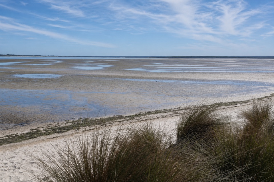 EasyShallow Inlet Walk0.9 km · 30 min · 5.1 km awayA tea-tree gully opens straight onto the inlet shore.
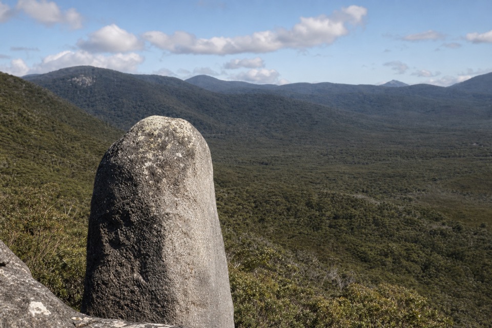 ModerateVereker Outlook Walk6 km · 2.3 hr · 8.5 km awayA steep climb to granite boulders and wide coastal views.
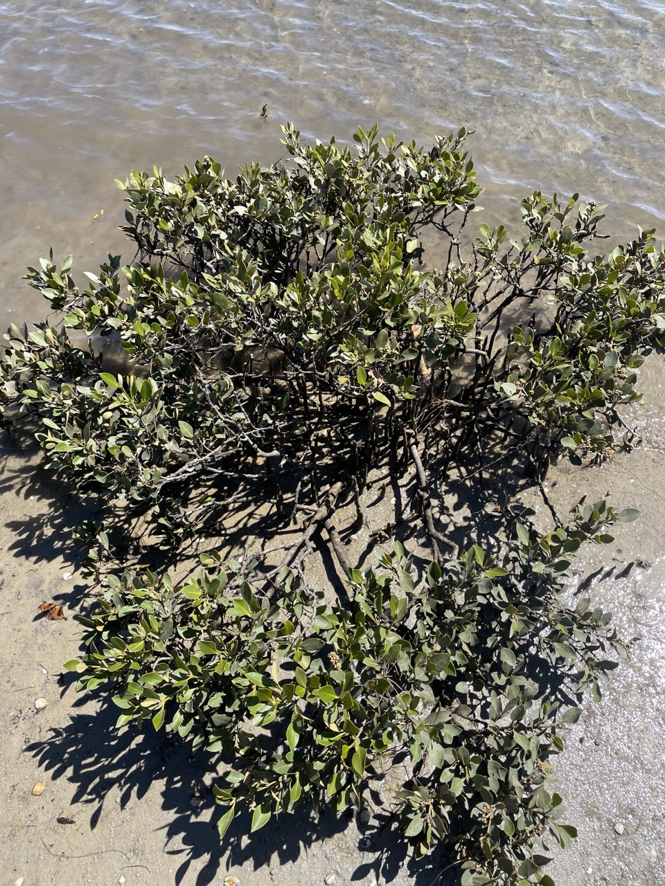 EasyMillers Landing Nature Walk4 km · 1.5 hr · 8.5 km awayA woodland stroll ends among the world’s southernmost mangroves.
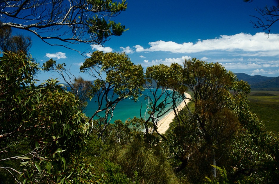 ChallengingWilsons Promontory Northern Circuit60 km · 1 day · 8.5 km awayA 60 km coastal loop for experienced wilderness navigators.
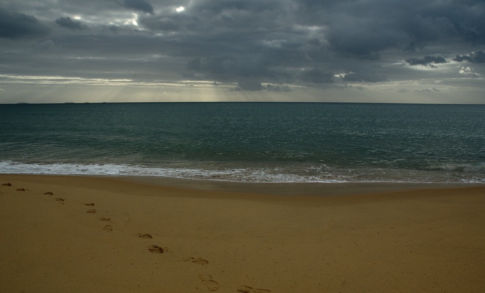 ChallengingFive Mile Beach Walk36.9 km · 12 hr · 8.5 km awayA long, exposed road march to a remote northern beach.
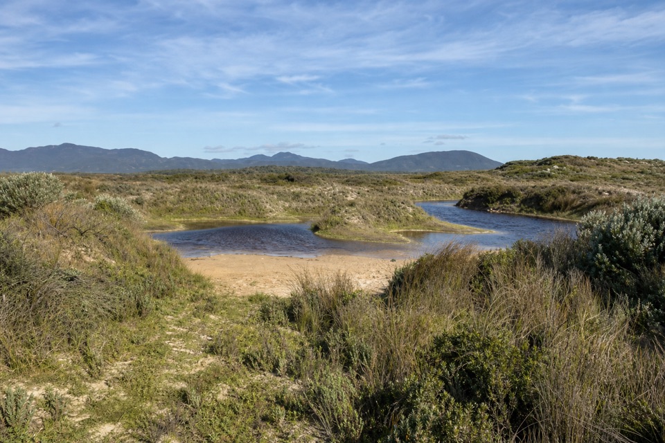 EasyCotters Lake and Beach Access Track2.4 km · 1 hr · 8.7 km awayCross the often-dry lake basin to a remote, windswept beach.
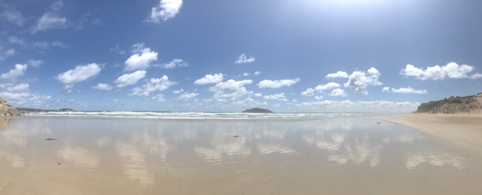 EasyDarby Beach Walk2.2 km · 40 min · 13.2 km awayA sandy river walk to a small beach between rocky headlands.
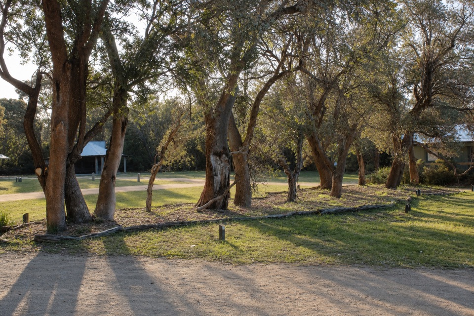 Picnic area · 0.2 km awayStockyard Picnic AreaA leafy picnic pause by the northern entrance.
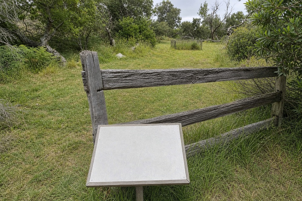 Sight · 0.4 km awayYanakie CemeteryA short walk to five graves from the Prom’s early settlement.
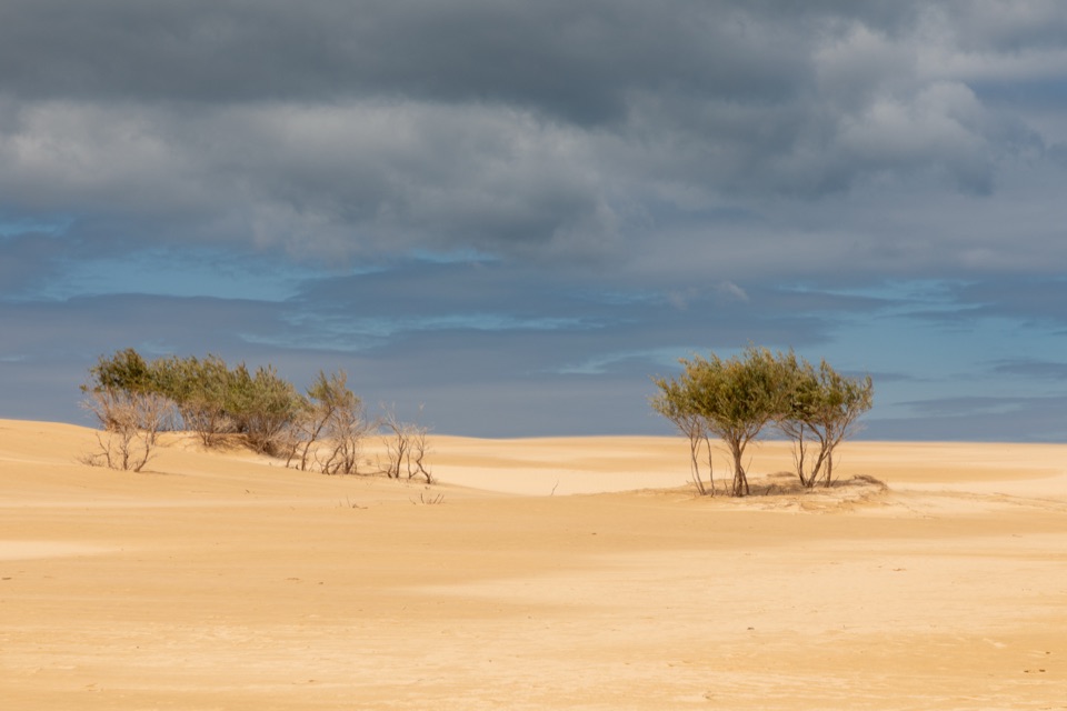 Sight · 2.5 km awayBig DriftA steep sand climb into an inland dune field.
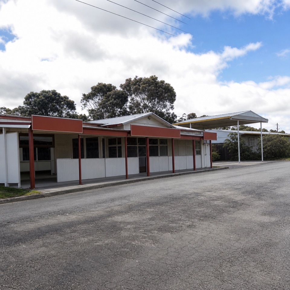 Store · 6.2 km awayYanakie General StoreGet fuel, groceries, bait and takeaway before driving in.
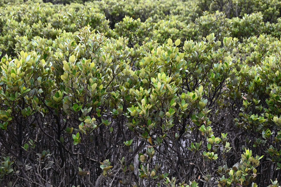 Sight · 7.5 km awayMillers LandingA 4 km woodland walk to the world's southernmost mangroves.
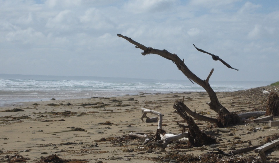 Beach · 8.7 km awayCotters BeachA dry lake basin walk opens onto an exposed west coast.
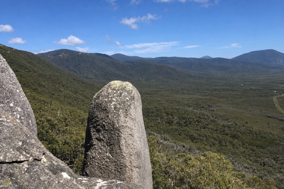 Sight · 10 km awayVereker OutlookBalanced boulders and big inlet views reward a steep walk.
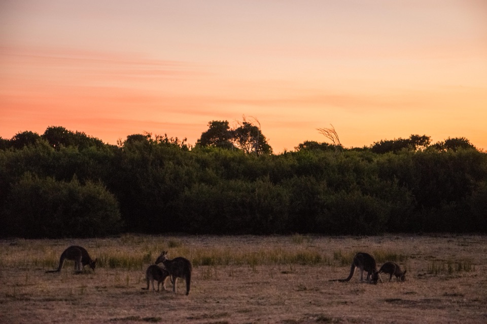 Sight · 10.3 km awayProm Wildlife Viewing AreaA roadside chance to spot kangaroos, wombats and emus.
Parkwolf’s Wilsons Promontory ranking

The audio tour guide for the drive, plus offline maps, trails, and wildlife heatmaps for when the signal drops.