1 active Wilsons Promontory alert
- ClosureStockyard and Big Drift closuresBig Drift Walk, Stockyard car park, Stockyard Campground and the Stockyard Toilet Block are closed.Official details
#5 of 30 sights in Wilsons Promontory
Sight · Wilsons Promontory National Park
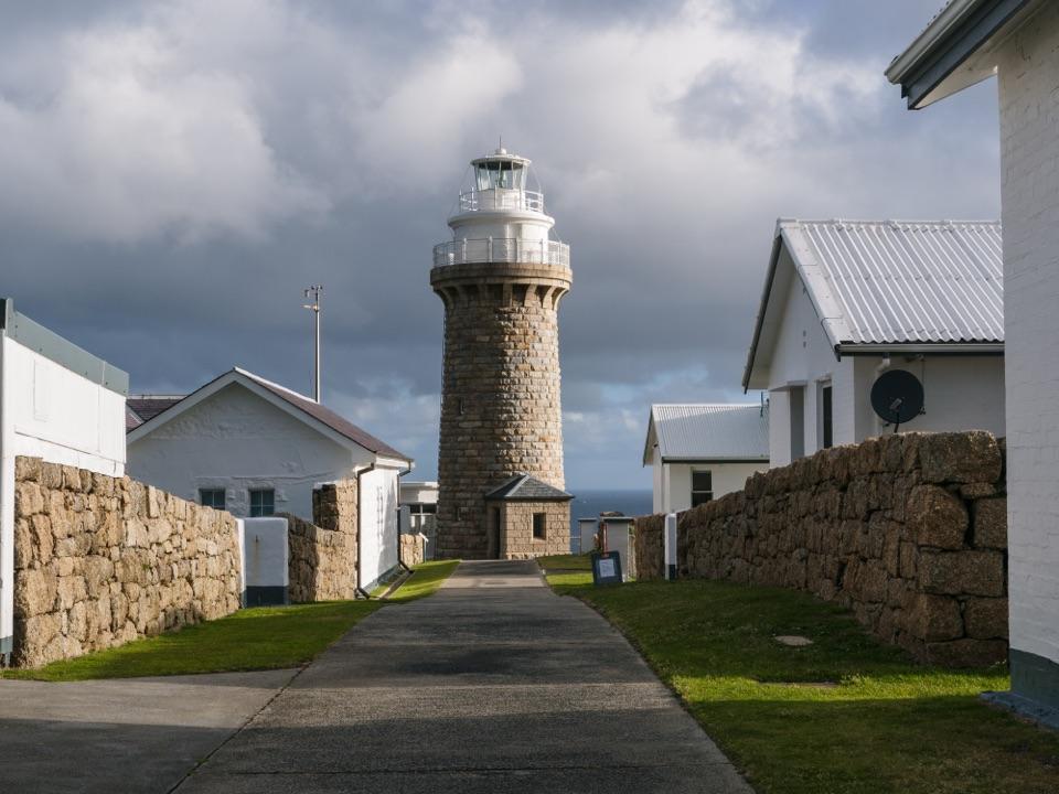
A granite lighthouse at the end of a long wilderness walk.
Photo: Faj2323, CC BY-SA 4.0, via Wikimedia Commons
Overview
Map
Plan your stop

The highest, rockiest slopes around here are a summer buffet for grizzly bears.
Wilsons Promontory Tour Guide
Parkwolf is a GPS audio tour guide for Wilsons Promontory National Park. As you drive, it chimes in with what’s ahead: hidden gems, upcoming stops, history, geology, and wildlife, right through your car’s speakers.
Recorded for this place
The Walk to Wilsons Promontory Lightstation“You're approaching the Telegraph Saddle access for Wilsons Promontory Lightstation, still nineteen kilometres away on foot.”
Plays as you drive up to Wilsons Promontory Lightstation in the Parkwolf Wilsons Promontory Tour Guide.
“Fantastic app with many points of information… It’s great to just turn on while you’re driving and it gives you an audio tour of the national Park. We love it!!!!”


Guide
Wilsons Promontory Lightstation is a granite lighthouse and group of historic keeper cottages on a small peninsula above Bass Strait. It is the southernmost settlement on the Australian mainland. The lighthouse was built in 1859 from locally quarried granite, and the station stands about 100 metres above the water. Getting here is part of what makes it distinctive: the lightstation sits at the end of the Southern Circuit hiking country and is reached on foot.
The shorter approach starts at Telegraph Saddle: 19.1 kilometres each way through eucalypt forest and sandy coastal tea-tree scrub. The longer coastal route begins at Tidal River and covers 23.8 kilometres one way via Oberon Bay, crossing granite country before turning inland. A return from Telegraph Saddle is over 38 kilometres before you add South Point. Staying overnight lets you spread the walk over two days. Both are serious walks, so the distance makes this a planned overnight or Southern Circuit stop. Start at least six hours before sunset and aim to arrive before dark. Mobile coverage can't be relied on. Expect steep track and unstable cliffs; dogs aren't allowed.
The granite tower rises above the keeper cottages at the end of the stone-walled path, with Bass Strait beyond. In the 1800s, supplies came by ship only twice a year and there was no communication with the outside world. Families, sometimes with children, kept the light burning to help save ships and lives. That history lands differently when you're standing at the isolated place where they lived and worked.
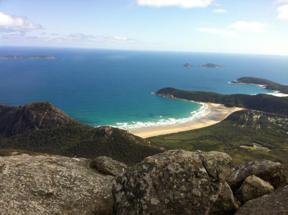
South Point, the mainland's southernmost point, is a separate walk to plan into your trip. From there, look for Rodondo Island offshore; it lies in Tasmanian waters. Around the lightstation, the open water and islands give a sense of the peninsula's exposure. Sunsets, sunrises and a dark night sky are part of the appeal, weather and visibility permitting.
Three cottages beside the lighthouse can be booked for one or two nights; the shared cottages have a kitchen with an oven, hotplates, microwave, fridge and cooking gear. Bring all your food and drinks, a sleeping bag and a towel. There are no supplies at the station, and you need to carry your rubbish out. Water is available when you arrive, but carry what you need for the walk in and out. Electricity comes from a diesel generator, and the cottages are set up for self-catering. Advance booking is essential, and cottage availability changes with the season. For walkers who enjoy a self-supported trip, this is one of the Prom's most memorable overnight destinations.
Wildlife
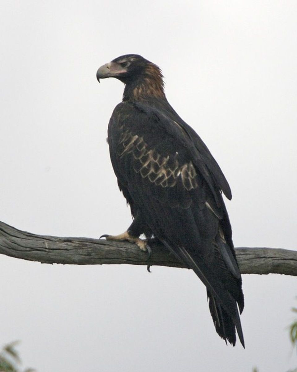 19 sightingsWedge-tailed EagleMost seen around 11 AMSighting map
 30 sightingsKoalaMost seen around 6 PMSighting map
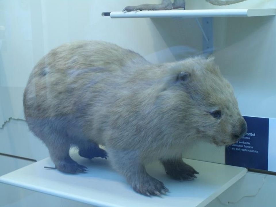 812 sightingsBare-nosed WombatMost seen around 6 PMSighting map
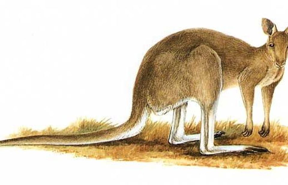 311 sightingsEastern Grey KangarooMost seen around 7 AMSighting map
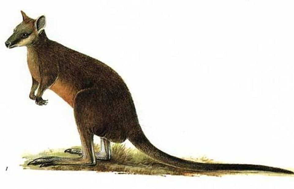 543 sightingsSwamp WallabyMost seen around 6 PMSighting map
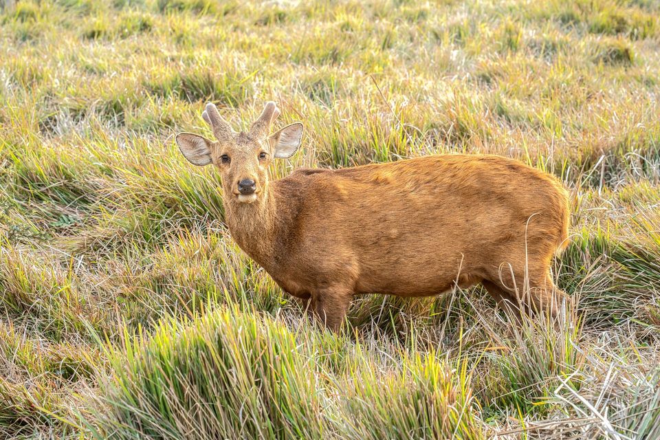 20 sightingsIndochinese Hog DeerMost seen around 7 AMSighting map
Sighting maps show where each species has been reported across Wilsons Promontory. Wildlife moves, so no sighting is guaranteed.
Keep exploring
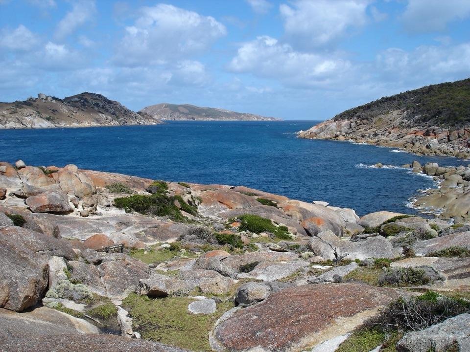 ChallengingSouth Point Track from Roaring Meg7.4 km · 2.5 hr · 3.6 km awayThe mainland's southern tip rewards the long walk in.
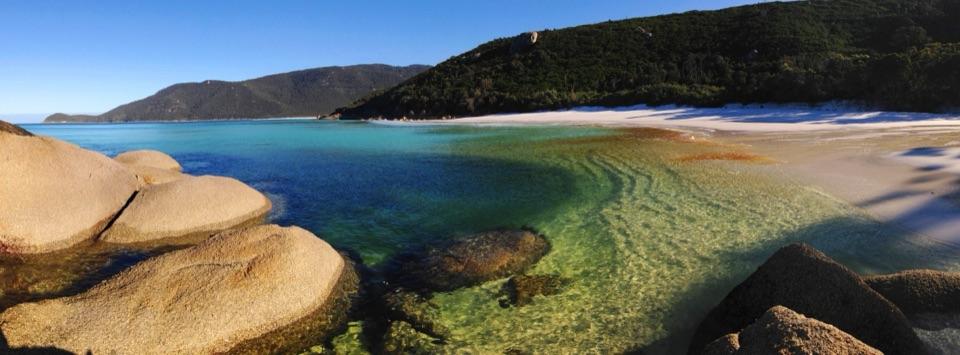 ChallengingWaterloo Bay to Lightstation Hike10.4 km · 3 hr · 7.2 km awayA remote coastal climb to a historic station above the sea.
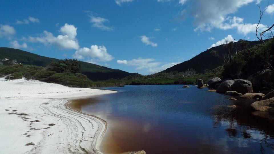 ModerateLittle Waterloo Bay to Telegraph Saddle Hike11.9 km · 4.5 hr · 7.2 km awayCoastal scrub gives way to a steep climb through eucalypt forest.
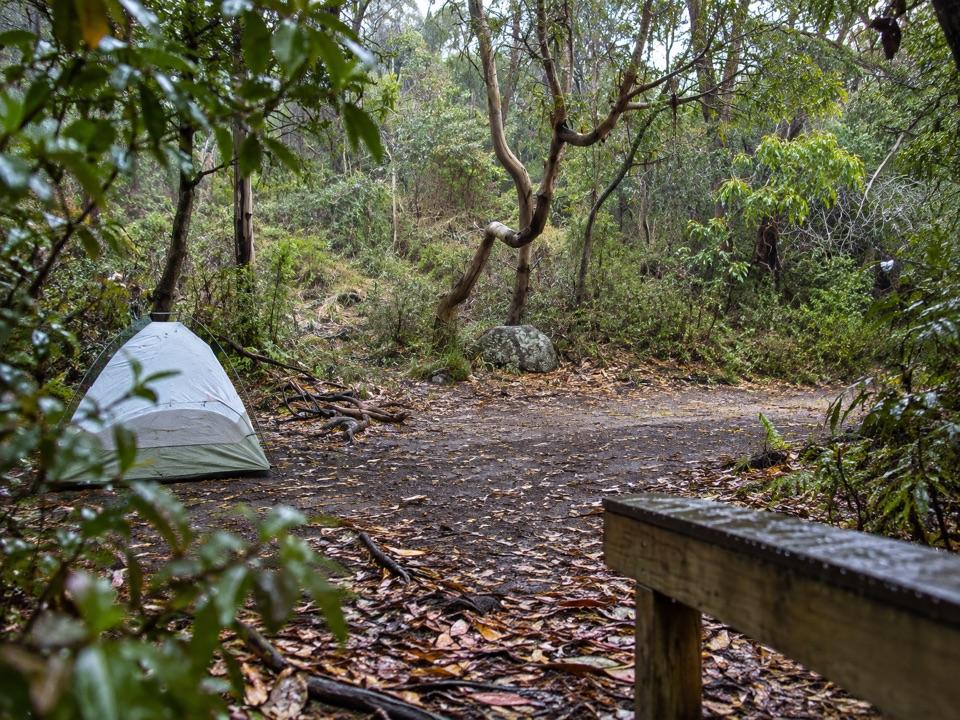 Campground · 3.6 km awayRoaring Meg Camping AreaA fern-gully camp for a long walk to South Point.
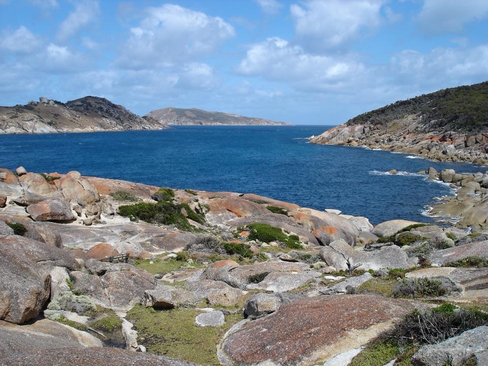 Sight · 4.2 km awaySouth PointA long walk to mainland Australia's southern edge.
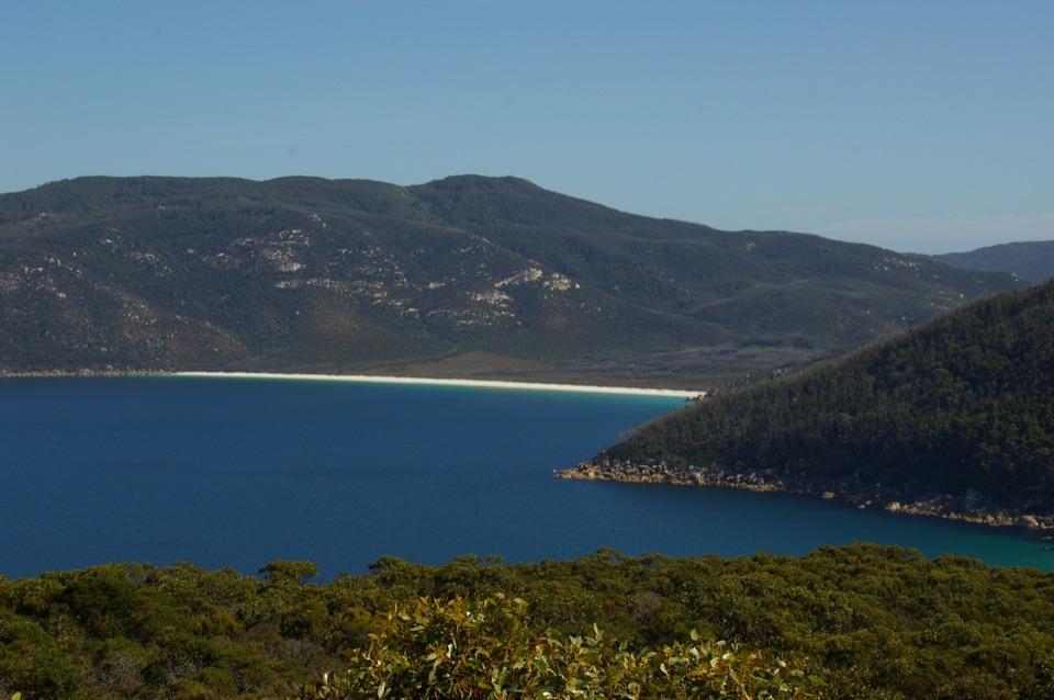 Beach · 5.2 km awayWaterloo BayA remote sweep of white sand on the Southern Circuit.
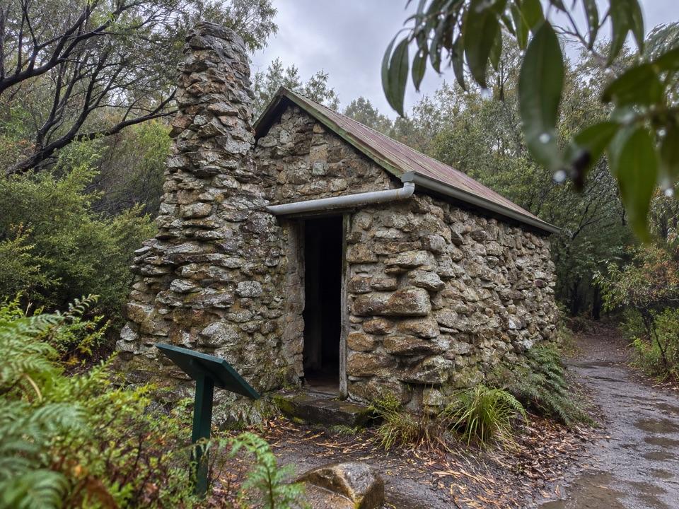 Campground · 6 km awayHalfway Hut Hike-in Camping AreaA quiet bush camp beside a hut built for telegraph linesmen.Beach · 7 km awayLittle Waterloo BayWhite sand, granite boulders, and a real hike to get here.Campground · 7.2 km awayLittle Waterloo Bay Camping AreaA backcountry camp beside white sand and clear water.
Parkwolf’s Wilsons Promontory ranking

The audio tour guide for the drive, plus offline maps, trails, and wildlife heatmaps for when the signal drops.