Norman Beach in Wilsons Promontory National Park

#3 of 29 sights in Wilsons Promontory

Beach · Wilsons Promontory National Park

Norman Beach

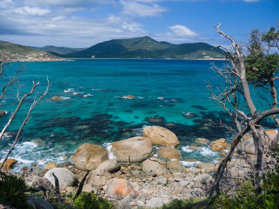
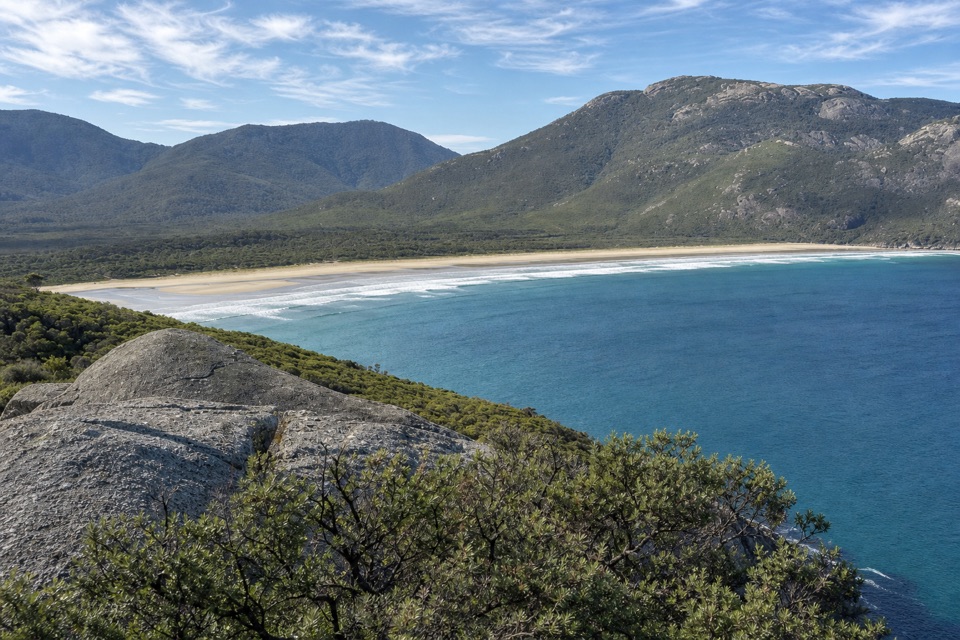
Walk a long, flat beach with Mount Oberon in view.

Photo: Wikimedia Commons
Type
Beach
Nearest trail
0.5 km
Audio stories
10 nearby
  • Parking

Hear the audio tour

Norman Beach and Tidal River

Overview

About Norman Beach

Why stop

  • 1.6 km of compact sand between granite headlands
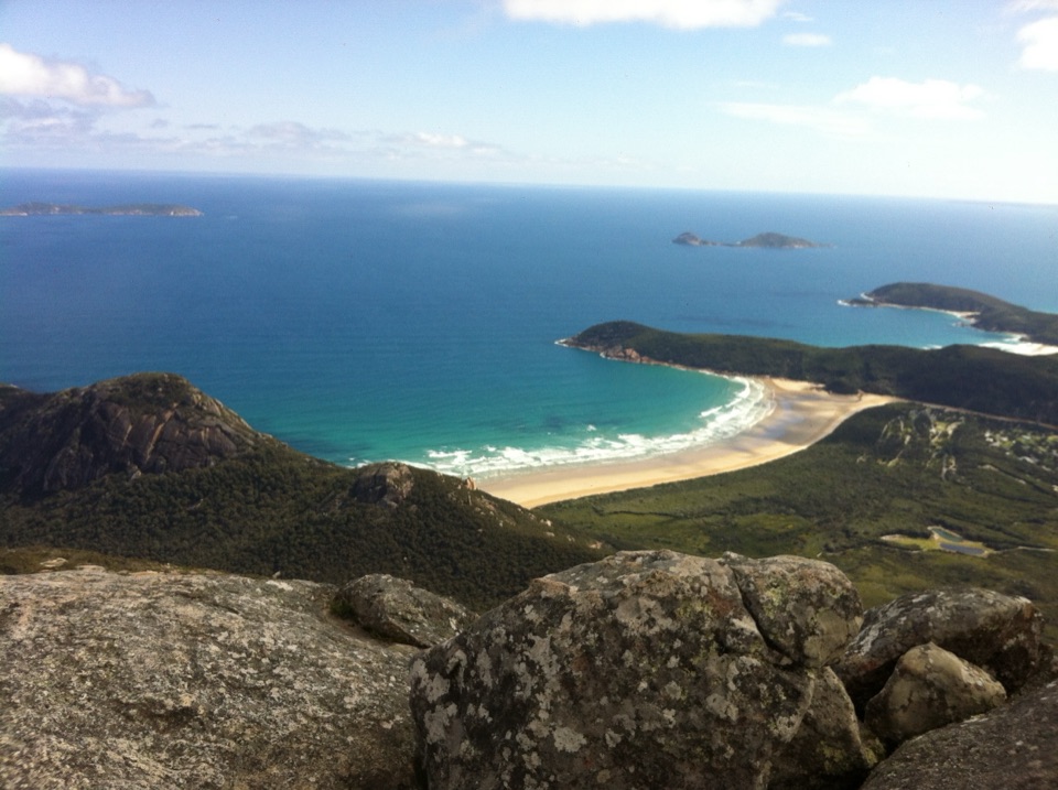
  • Mount Oberon and offshore islands from the shore

Heads up

  • Unpatrolled water can have rough surf and slippery rocks

Map

Where it is

Loading the Wilsons Promontory map
Full map
BeachNorman Beach-39.03522, 146.32033
Keep this map with you offline in the Parkwolf app

Plan your stop

Before you go

2 active Wilsons Promontory alerts

  • ClosureSouthern area closures and October deer-control restrictionsDo not enter the listed southern visitor areas during their closures, and plan around the October aerial deer-control operation.Official details
  • InfoEntrance traffic management and delaysAllow extra travel time and follow traffic controls at the Wilsons Promontory National Park entrance.Official details
Wilsons Promontory alerts
A park ranger sits on a dash-mounted phone, talking, as Parkwolf’s Tour Guide plays “Army Cutworm Moths: A Grizzly Bear Buffet” on Grand Loop Road below Dunraven Pass in Yellowstone
Parkwolf Tour GuideThe highest, rockiest slopes around here are a summer buffet for grizzly bears.

Wilsons Promontory Tour Guide

Your drive to Norman Beach, narrated.

Parkwolf is a GPS audio tour guide for Wilsons Promontory National Park. As you drive, it chimes in with what’s ahead: hidden gems, upcoming stops, history, geology, and wildlife, right through your car’s speakers.

Recorded for this place

Norman Beach and Tidal River
0:00 / 0:31
“Up ahead is Norman Beach, a wide strip of firm sand just a short walk from Tidal River's campground.”

Plays as you drive up to Norman Beach in the Parkwolf Wilsons Promontory Tour Guide.

More stories near here in the app

  • Tidal River Visitor Hub
  • Tidal River Footbridge and Tidal Overlook
  • Lilly Pilly Gully and Mount Bishop
  • The Walk to Wilsons Promontory Lightstation
  • 22 audio storiesacross Wilsons Promontory’s roads, triggered by GPS as you drive
  • Wildlife heatmapsfor Wedge-tailed Eagle, Koala, Bare-nosed Wombat, and 13 more
  • Works offlinemaps, 36 trails, 46 places, and audio download before you lose signal
  • CarPlay readysimple controls built for the drive
★★★★★
“Fantastic app with many points of information… It’s great to just turn on while you’re driving and it gives you an audio tour of the national Park. We love it!!!!”
JMJamesApp Store review
Download Parkwolf on the App StoreGet Parkwolf on Google Play

4.7 from 8,600+ ratings

Guide

More about Norman Beach

An easy beach to reachNorman Beach is a 1.

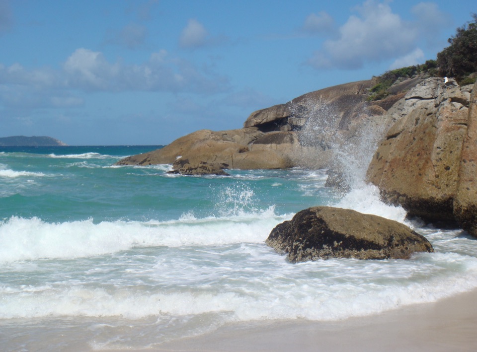
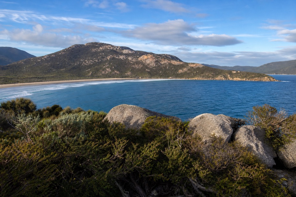
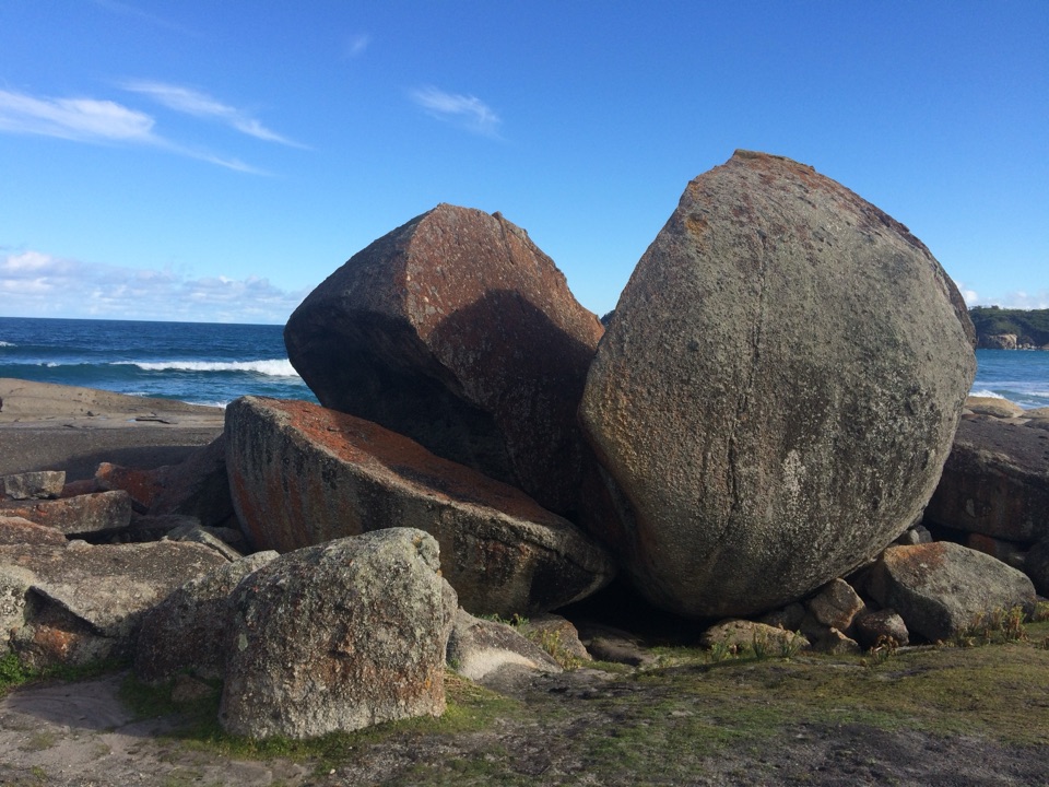
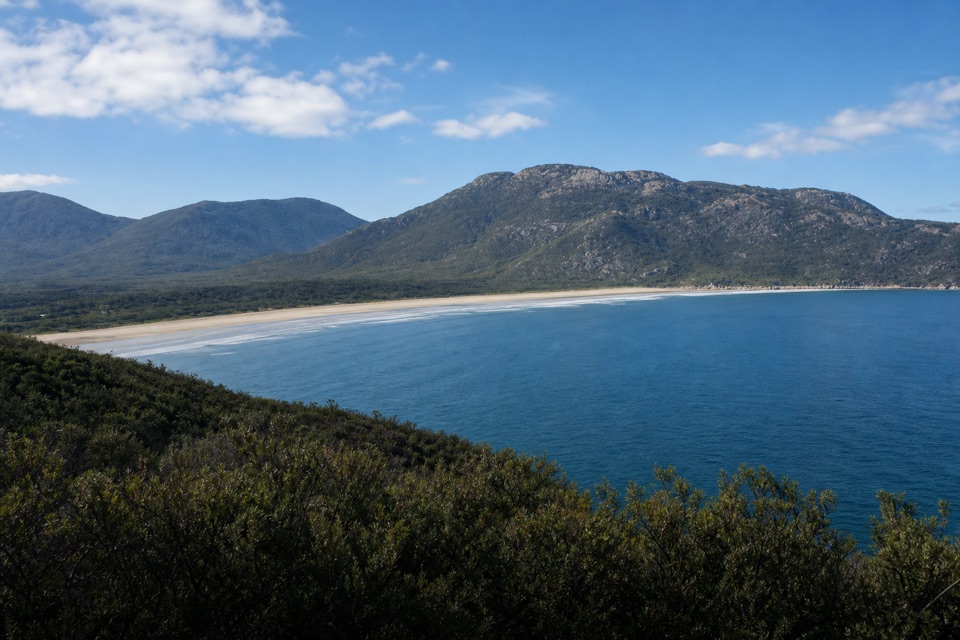
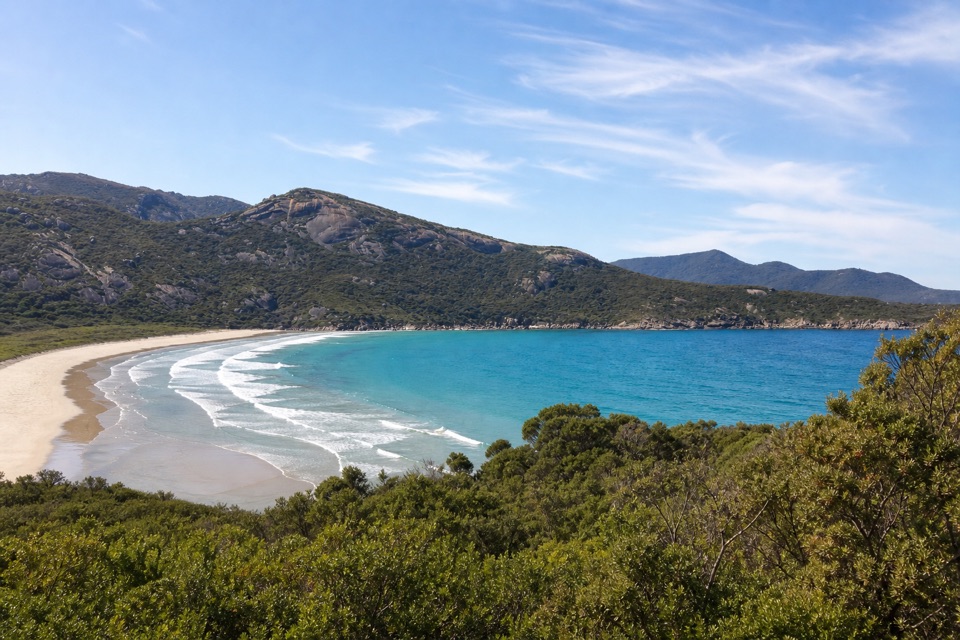
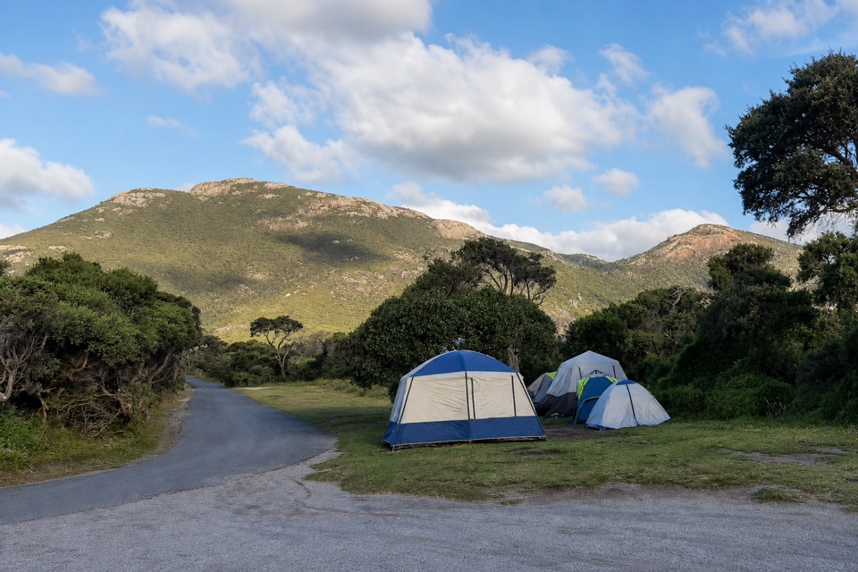
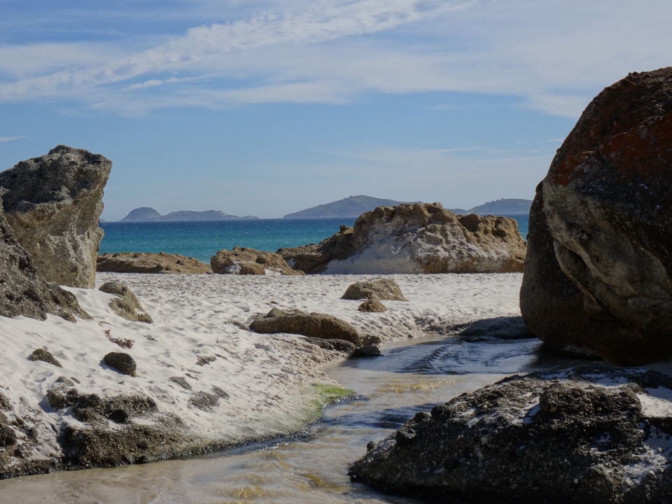
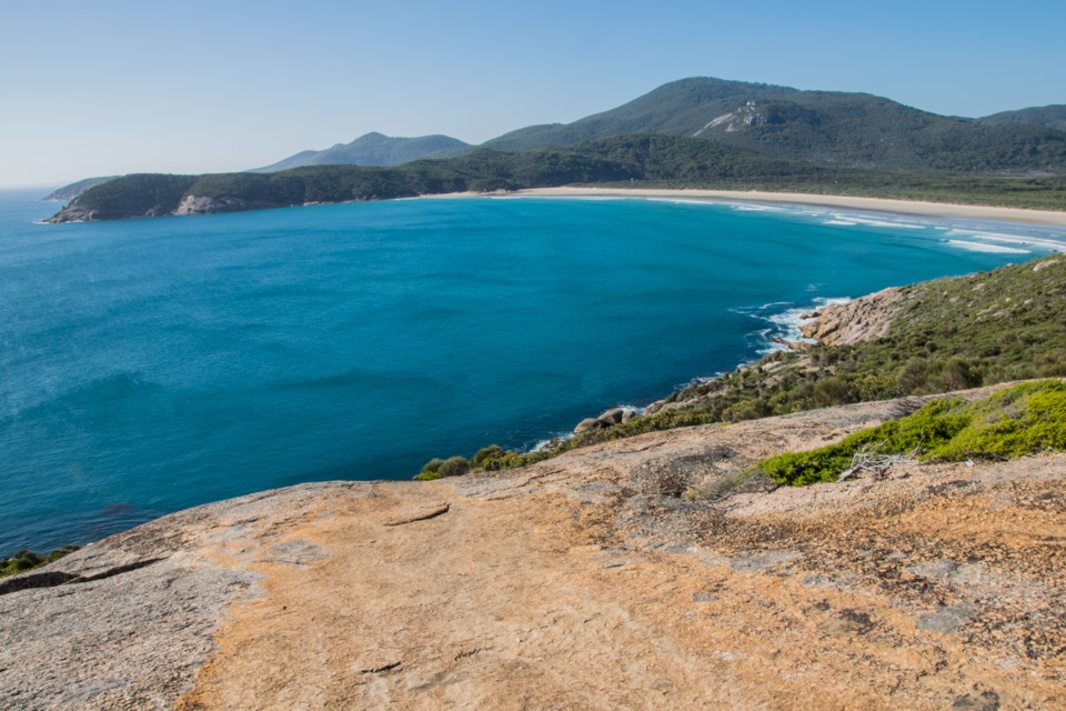
Norman Beach is a 1.6-kilometre stretch of flat, wide, compact sand beside Tidal River in Wilsons Promontory National Park. Pillar Point closes its northern end and Norman Point its southern end. From the waterline, the view reaches Mount Oberon and offshore islands, with the granite headlands giving the long shore a clear shape. This is the beach closest to Tidal River Campground, a short walk from the camping area, so it is an easy place to add a swim or a proper walk without getting back in the car. Come for open sand, room to stretch your legs and a view that holds both the coast and the Prom’s inland ridge.

Walk the water’s edgeThe beach has a river side as well as a bay-facing shore: Tidal River fringes the sand, and its…

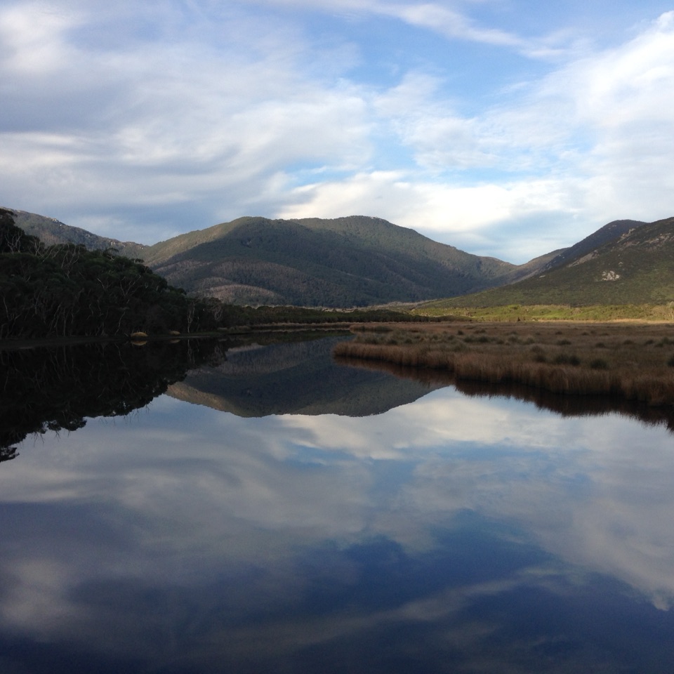
The beach has a river side as well as a bay-facing shore: Tidal River fringes the sand, and its water carries a tea-tree stain. That darker edge gives the walk a different feel from the open bay. You can follow the shore between its two granite points rather than stopping at the first patch of sand. The ground is firm and flat, good for an unhurried stroll or a game of beach cricket. At low tide, the sandy area grows broader, making it easier to find a quieter patch even when people are spread along the front. Norman is close to the campground and can get busy in peak summer, but its length gives you space to walk away from the main access point.

Choose your waterSwimming, snorkelling, surfing and fishing are all part of the beach experience, and kayaks can…

Swimming, snorkelling, surfing and fishing are all part of the beach experience, and kayaks can launch from the river fringe. Keep surfing south of Fifth Ramp; that is the designated part of the beach for it. Norman Beach is unpatrolled, with warnings for rough surf, shallow water and slippery rocks. A gentle-looking edge is no guarantee of gentle conditions across the whole beach, so treat the open surf and the river fringe as different water. If you are here with children or anyone who is not a confident swimmer, the lack of patrols matters more than how calm the water looks. Dogs are not allowed in the park; assistance dog entry follows separate requirements.

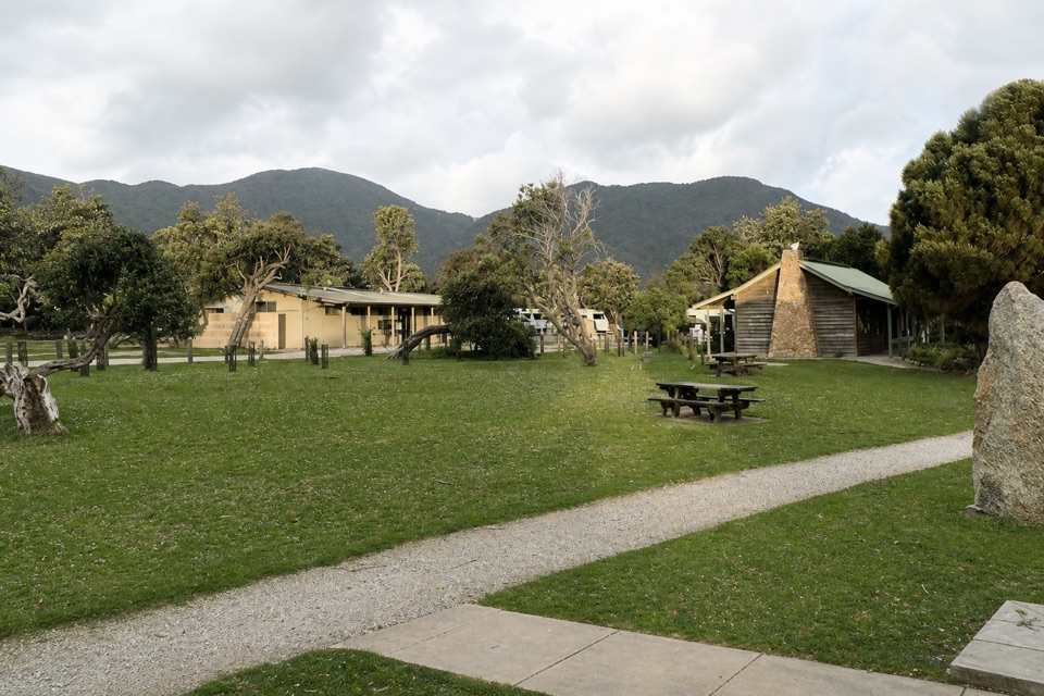
Set up from Tidal RiverUse Norman Beach Carpark for the beach access, or walk over from Tidal River Campground.

Use Norman Beach Carpark for the beach access, or walk over from Tidal River Campground. The confirmed toilets and water are at the campground a short walk away. The Tidal River Visitor Centre has free beach-wheelchair hire, but the available information does not establish how suitable the path and sand are for a particular chair, so check access details with the centre before relying on it. Peak summer is the time this nearby beach is most likely to feel busy; it is also when a longer walk along the shore helps you get beyond the cluster nearest the access. For a photo, leave a strip of pale sand in the foreground and frame Mount Oberon and the offshore islands above it; that gives the view a sense of scale.

Wildlife

Wildlife in Wilsons Promontory

All Wilsons Promontory wildlife maps

Sighting maps show where each species has been reported across Wilsons Promontory. Wildlife moves, so no sighting is guaranteed.

Keep exploring

Near Norman Beach

See it all on the map

Trails nearby

More stops nearby

Parkwolf’s Wilsons Promontory ranking

Top sights in Wilsons Promontory

All 46 places
  1. 1Squeaky BeachBeach
  2. 2Mount OberonSight
  3. 4Big DriftSight
  4. 5Wilsons Promontory LightstationSight
  5. 6Whisky BayBeach
  6. 7Mount BishopSight

Take Parkwolf to Wilsons Promontory.

The audio tour guide for the drive, plus offline maps, trails, and wildlife heatmaps for when the signal drops.

4.7 from 8,600+ ratings

Download Parkwolf on the App StoreGet Parkwolf on Google Play