1 active Wilsons Promontory alert
- ClosureStockyard and Big Drift closuresBig Drift Walk, Stockyard car park, Stockyard Campground and the Stockyard Toilet Block are closed.Official details
#1 of 30 sights in Wilsons Promontory
Beach · Wilsons Promontory National Park
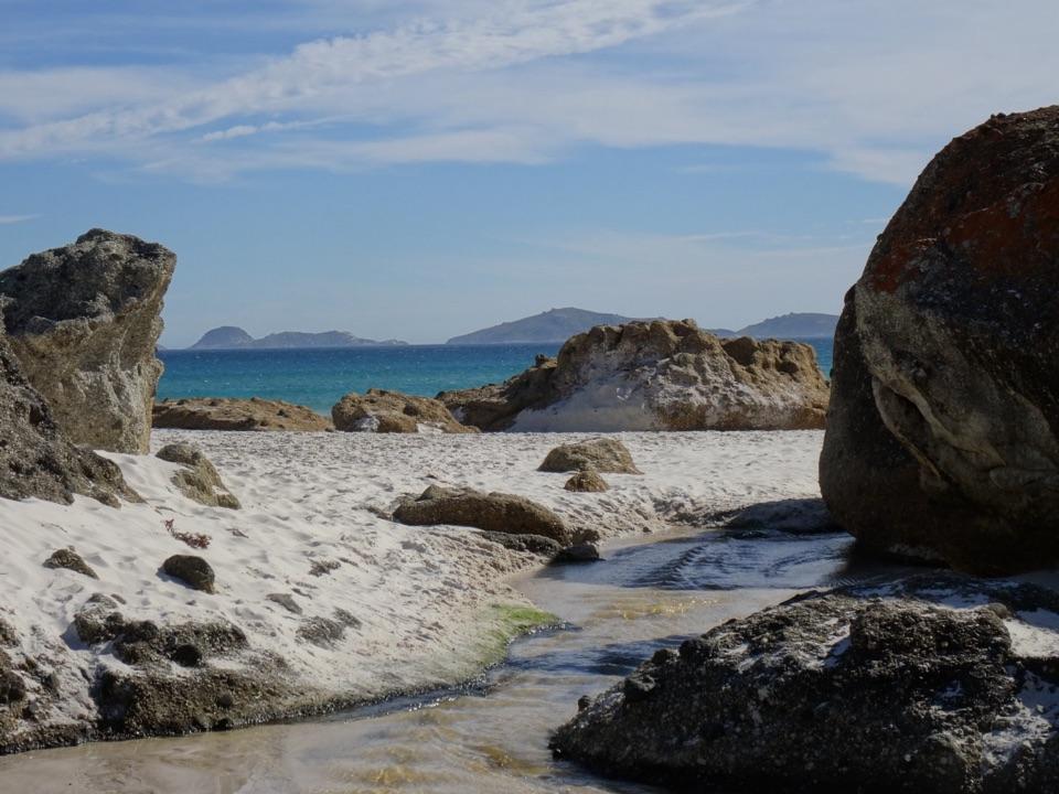
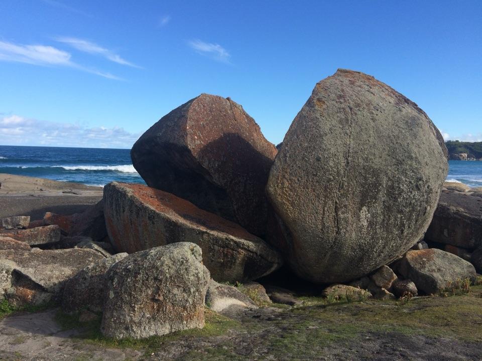
A squeaking quartz shore, hemmed in by granite boulders.
Photo: Jeancarroll, CC BY-SA 4.0, via Wikimedia Commons
Overview
Map
Plan your stop

The highest, rockiest slopes around here are a summer buffet for grizzly bears.
Wilsons Promontory Tour Guide
Parkwolf is a GPS audio tour guide for Wilsons Promontory National Park. As you drive, it chimes in with what’s ahead: hidden gems, upcoming stops, history, geology, and wildlife, right through your car’s speakers.
Recorded for this place
Squeaky Beach and Its Singing Sand“You're approaching Squeaky Beach, where the sand really does make a high-pitched squeak beneath your feet. Its fine, rounded quartz grains compress as you walk, so listen on a dry patch.”
Plays as you drive up to Squeaky Beach in the Parkwolf Wilsons Promontory Tour Guide.
More stories near here in the app
“Fantastic app with many points of information… It’s great to just turn on while you’re driving and it gives you an audio tour of the national Park. We love it!!!!”


Guide
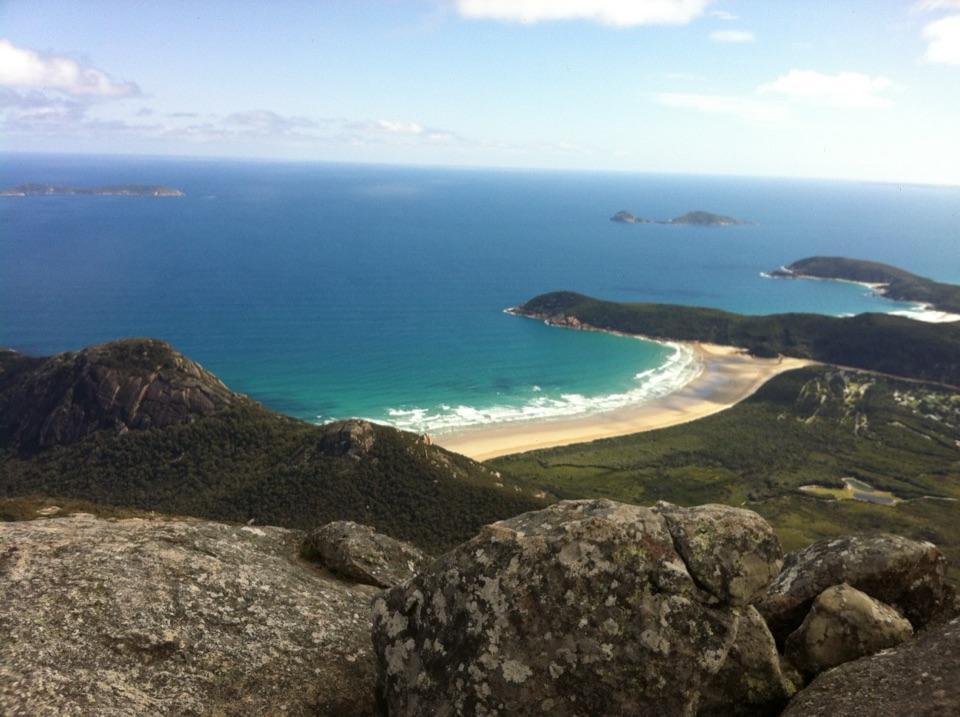
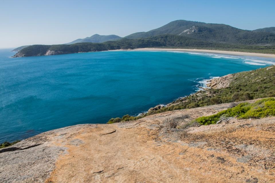
Squeaky Beach is a broad quartz-sand beach on the western side of Wilsons Promontory National Park, north-west of Tidal River. Granite boulders close in around both ends, and fine, rounded grains of quartz compress underfoot to make the high-pitched squeak that gives the beach its name. The shore looks especially bright against blue water on a clear day, with islands scattered across Leonard Bay. It’s an easy stop to understand: come for the unusual sand, then stay for the rocks and open coast.
Don't stop at the first patch of sand. At the north end, the boulders break into a maze-like field you can explore from the shore; at either end they frame the water and make the beach feel tucked between granite. The islands offshore add detail without needing a long walk. For photos, use boulders as foreground and look back across the shore toward Leonard Bay. If you're walking from Tidal River, the headland above the beach gives the broader view; the blue water stands out most on a clear day.
The closest access is from the small beach car park and a short walk down to the sand. The lot is limited and fills quickly in peak season, so driving to the beach is not a sure bet on a busy summer day. If a walk fits your plans, you can approach from Tidal River.
That return walk is 4.2 kilometres, Grade 3, and about 1.5 hours. It climbs through gnarled tea trees to a headland, follows the ridge between Norman and Squeaky beaches, then descends to the southern end. That adds more than a quick change of scenery: you get a view down to the beach before reaching it. The route can form part of the Three Bays Walk. For a longer outing, add the roughly one-kilometre return detour to Pillar Point for a wide ocean panorama, or keep following the coast toward Picnic and Whisky bays. Shorter approaches are also listed from Picnic Bay and Lilly Pilly Gully car park.
If the car park is full, the Tidal River walk gives you a view over the coast on the way. On busy weekends and holidays, a midweek visit can mean fewer crowds.
Dry sand is where the squeak makes sense: pressure from your steps compresses its fine, rounded quartz grains. Take a moment to listen as you cross it; this small oddity is the beach's signature, not just a name on a sign. Higher waves also make the beach popular with surfers, but swimming is not recommended because persistent rips can make the water dangerous. The beach is not patrolled by lifesavers, so treat it as a place to walk and watch the surf rather than plan a swim. Be careful around rocky outcrops, where wave surges can catch visitors. Dogs aren't allowed in the park.
Toilets are beside the car park. There are no rubbish bins here, so take your rubbish away with you.
The dunes behind the beach help shelter wildlife, including ground-nesting hooded plovers. Stay on formed tracks rather than climbing or sliding down the sand: trampling damages the plants that hold the dunes together. Never jump from the granite boulders into the water, where submerged rocks can be hidden.
Wildlife
 19 sightingsWedge-tailed EagleMost seen around 11 AMSighting map
 30 sightingsKoalaMost seen around 6 PMSighting map
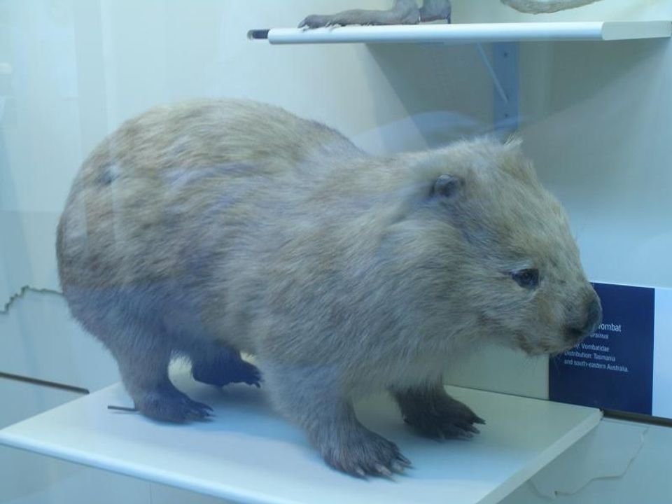 812 sightingsBare-nosed WombatMost seen around 6 PMSighting map
 311 sightingsEastern Grey KangarooMost seen around 7 AMSighting map
 543 sightingsSwamp WallabyMost seen around 6 PMSighting map
 20 sightingsIndochinese Hog DeerMost seen around 7 AMSighting map
Sighting maps show where each species has been reported across Wilsons Promontory. Wildlife moves, so no sighting is guaranteed.
Keep exploring
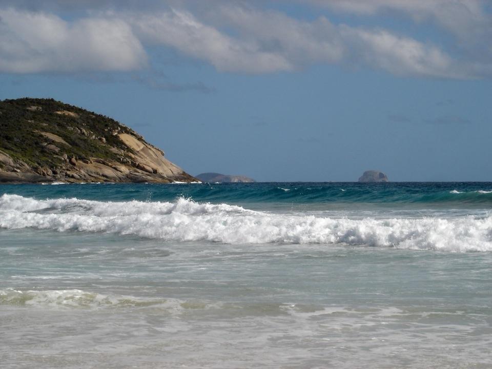 ModeratePicnic Bay Walk3.3 km · 1.5 hr · 0.4 km awayRock pools and granite headlands on a short coastal return.ModerateSqueaky Beach Walk4.2 km · 1.5 hr · 1.1 km awayA headland climb to squeaking sand and granite boulders.
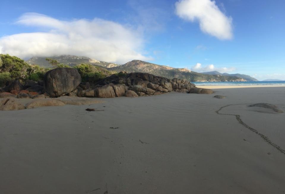 ModerateTidal Overlook Circuit3.8 km · 1.5 hr · 1.2 km awayA 3.8 km loop to broad coastal views above Norman Bay.
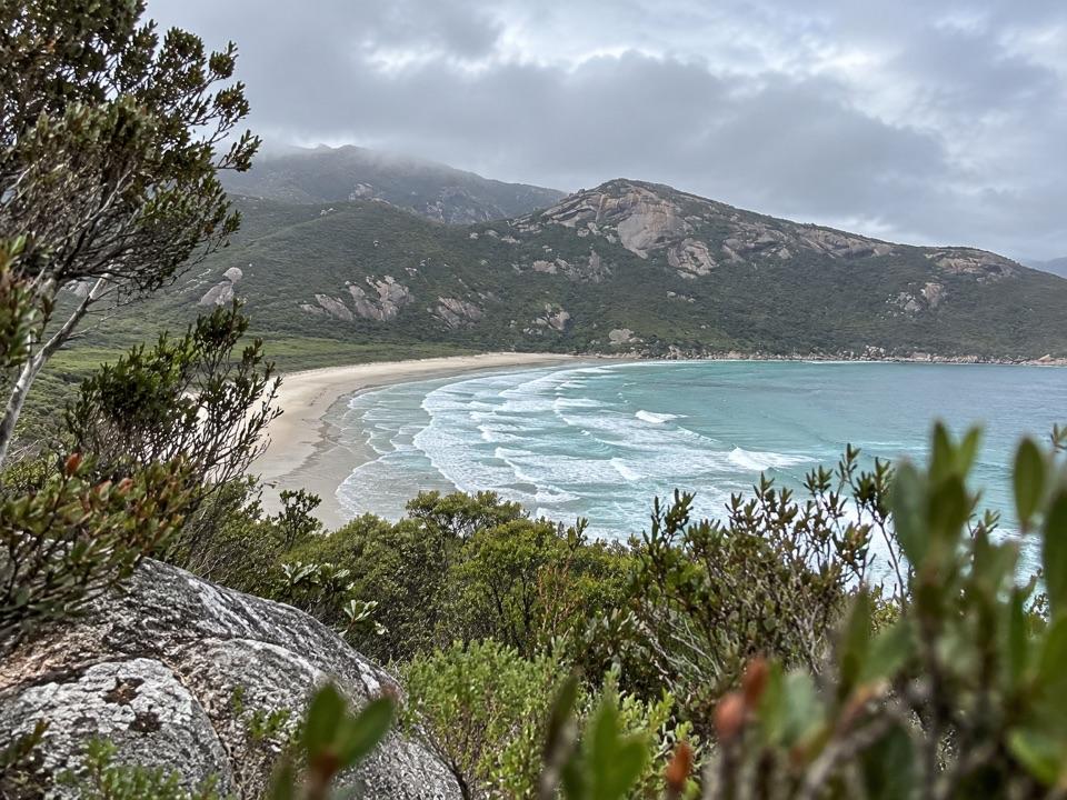 EasyLilly Pilly Link Walk1 km · 20 min · 1.2 km awayA short coastal-heath link with Norman Bay views
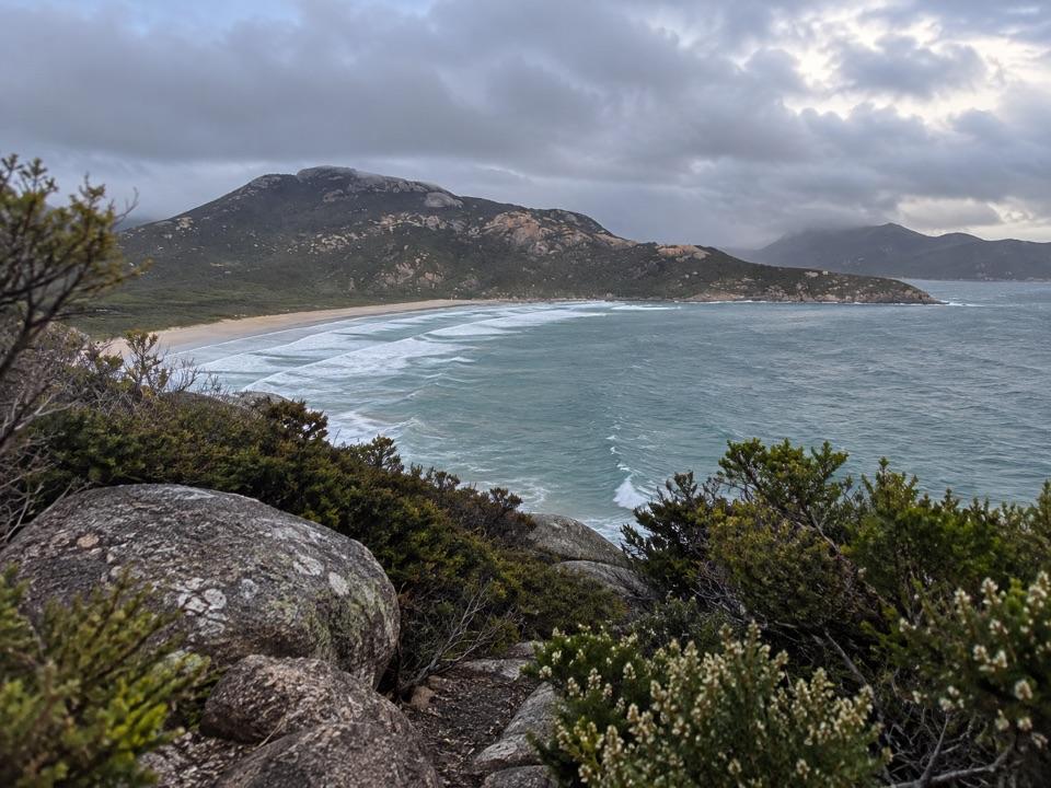 ModeratePillar Point Walk3.6 km · 1.5 hr · 1.2 km awayGranite, beaches and a broad Norman Bay view in 90 minutes.
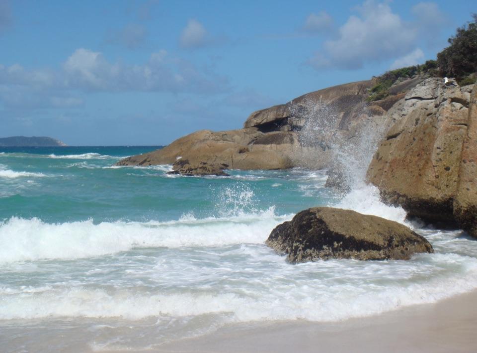 ModerateThree Bays Walk12.4 km · 4 hr · 1.2 km awayA creek crossing, three beaches and red rocks at the far end.
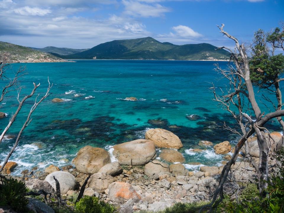 ModerateTidal River to Oberon Bay Walk15.2 km · 5 hr · 1.4 km awayA long coastal walk ends at a remote beachside camp.
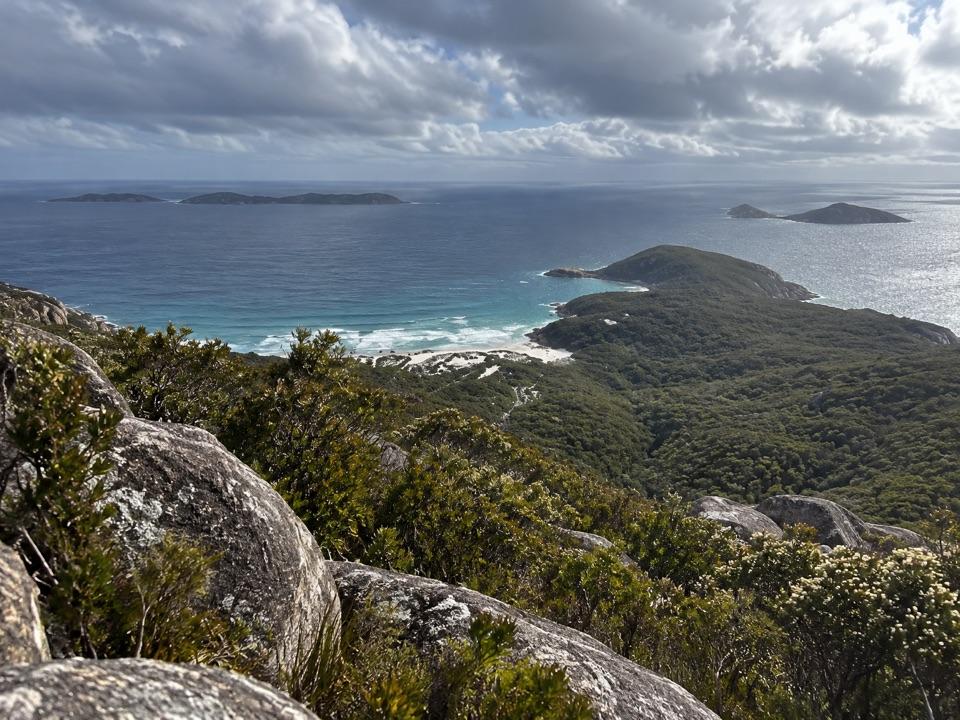 ModerateMount Bishop Summit Walk7.4 km · 2.5 hr · 1.4 km awayGranite summit rocks frame a broad view over beaches and islands.
 Sight · 0.8 km awayTidal OverlookA rocky circuit with far-reaching views across the bays.
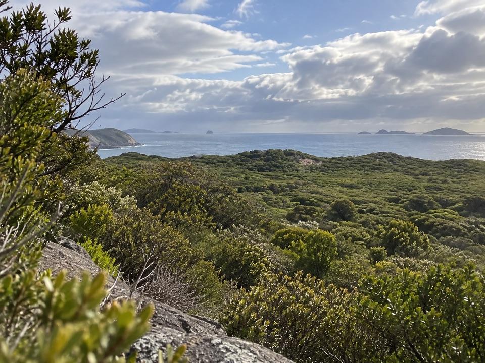 Sight · 1.1 km awayGlennie LookoutA roadside pause for rugged coast and the offshore islands.
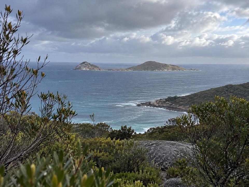 Sight · 1.2 km awayNorman LookoutIsland views without a hike on the way to Tidal River.
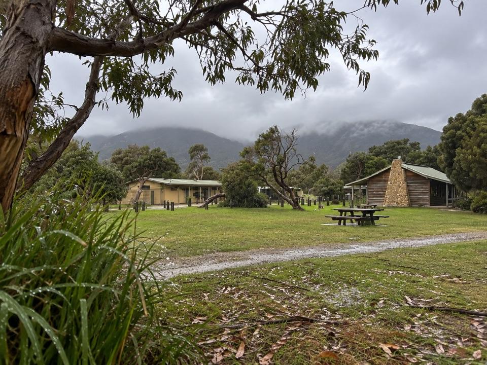 Lodging · 1.3 km awayTidal River AccommodationRoofed stays at the hub, with Norman Beach a short walk away.Beach · 1.4 km awayPicnic BayA short, steep path drops to tide pools and an island-view lookout.
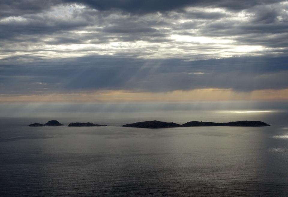 Sight · 1.4 km awayPillar PointA granite headland above Norman Bay, Squeaky Beach and offshore islands.
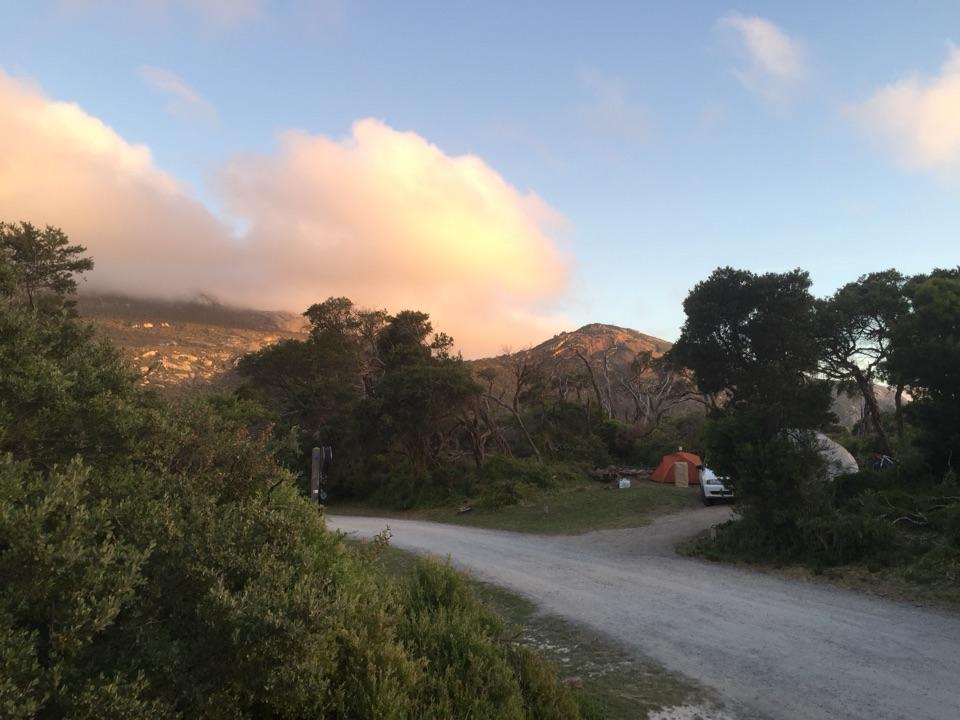 Campground · 1.4 km awayTidal River CampgroundA beach-and-river campground with the visitor hub on site.
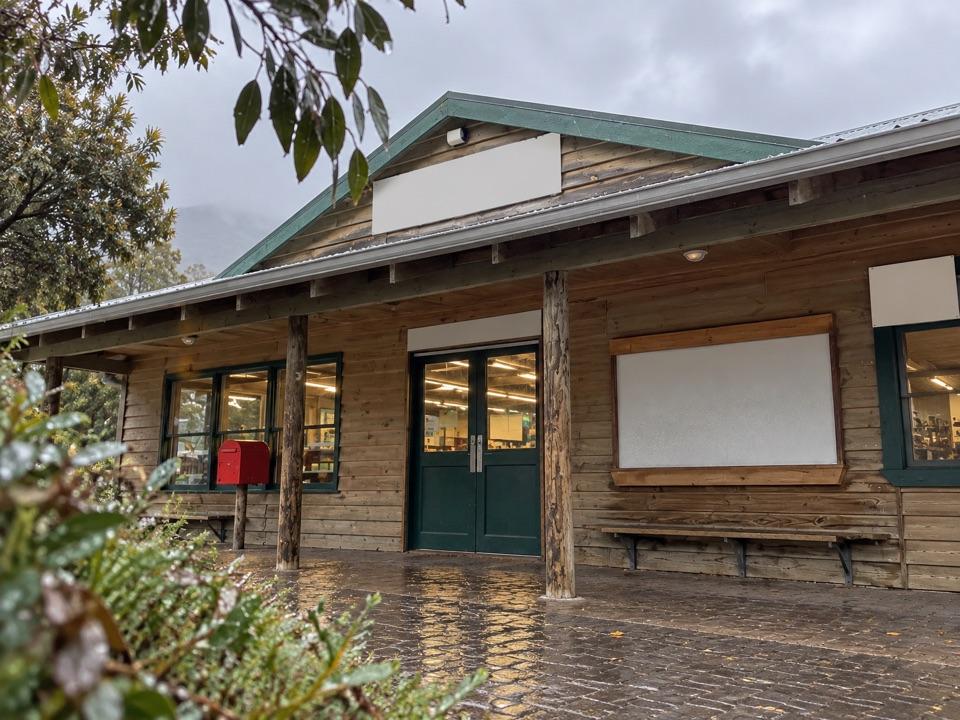 Store · 1.5 km awayTidal River General StoreA practical top-up and takeaway stop in the main campground.
Parkwolf’s Wilsons Promontory ranking

The audio tour guide for the drive, plus offline maps, trails, and wildlife heatmaps for when the signal drops.