Parking
Use the Gilahina River & Gilahina Trestle Wayside gravel pull-out at McCarthy Road mile 29; vault toilets are on site.
Wrangell-St. Elias National Park, AK
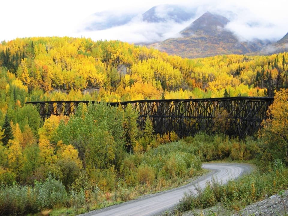
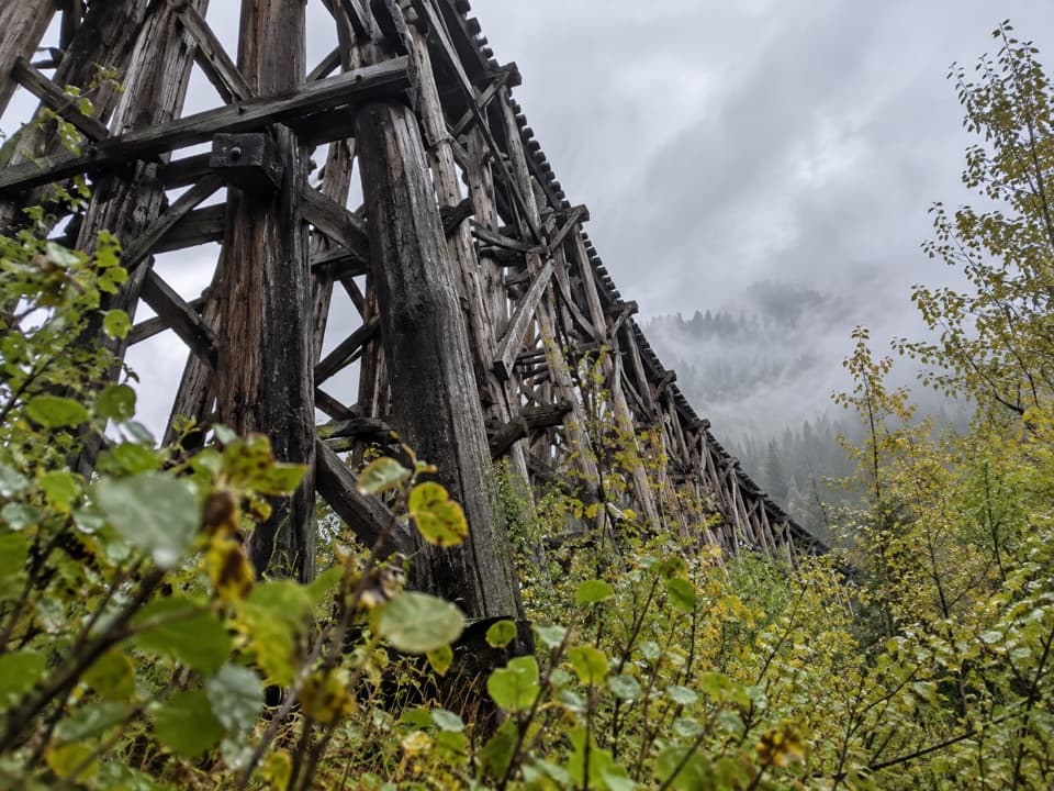
A downriver path begins by the wayside beside a towering 1911 trestle.
Overview
Map & elevation
Plan your hike

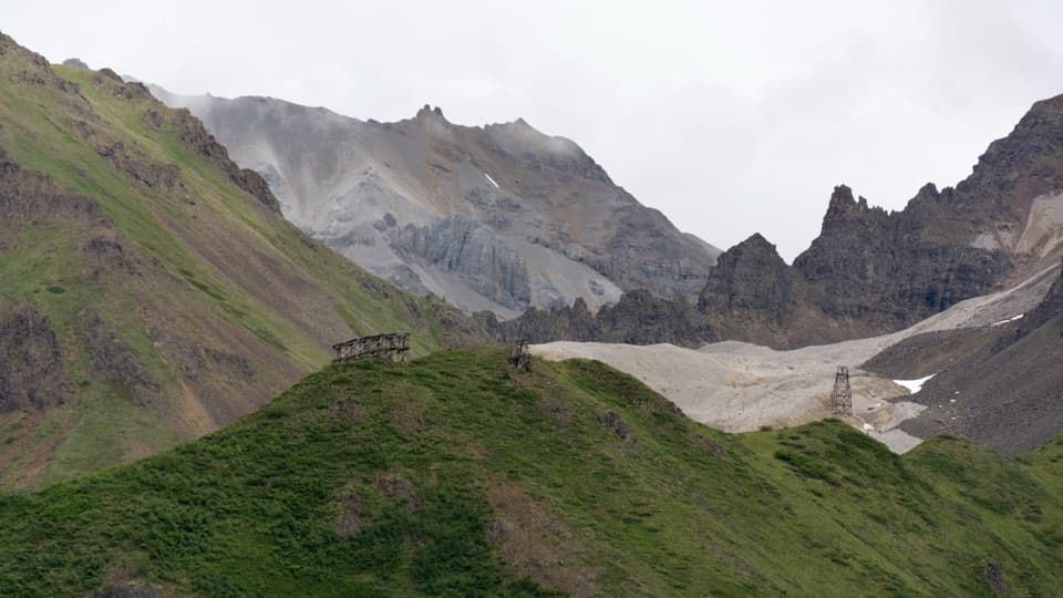
The highest, rockiest slopes around here are a summer buffet for grizzly bears.
Wrangell-St. Elias Tour Guide
Parkwolf is a GPS audio tour guide for Wrangell-St. Elias National Park. As you drive, it chimes in with what’s ahead: hidden gems, upcoming stops, history, geology, and wildlife, right through your car’s speakers.
See the Wrangell-St. Elias audio tourRecorded for this trailhead
Gilahina Trestle Wayside“You're nearing Gilahina Trestle, the curved timber railroad bridge beside McCarthy Road.”
Plays as you drive up to this trailhead in the Parkwolf Wrangell-St. Elias Tour Guide.
More stories near here in the app
“Fantastic app with many points of information… It’s great to just turn on while you’re driving and it gives you an audio tour of the national Park. We love it!!!!”


Trail guide
Gilahina Hiking Trail is an out-and-back route from the Gilahina River & Gilahina Trestle Wayside on McCarthy Road. The park trail map traces a 1.47-mile path south and downriver, so walking its full line and returning the same way is about 2.9 miles round trip. The written wayside description gives a shorter half-mile figure but no measurement convention or turnaround; this entry follows the complete named line on the map. Allow about 1½ hours. The trail map classifies it as a minimally developed earth trail for hikers.
The mapped route begins by the restrooms and follows one line south; there is no loop, so turn around at its mapped end. The trail is rated easy, but detailed descriptions of its tread, grade, or a specific feature at the far end are scarce. Treat it as a modest walk into the river corridor rather than a guaranteed viewpoint. Dogs are allowed on park trails when kept on leash.
The wooden railroad trestle stands beside the starting wayside, rather than on the mapped hiking route. Built in January 1911, it was originally 890 feet long and 90 feet high; construction used half a million board feet of timber and took eight days. Vault toilets, a gravel pull-out, and interpretive panels are at the wayside. Do not climb on the trestle.
Wildlife
 113 sightingsGrizzly BearMost seen around 9 PMSighting map
 66 sightingsMooseMost seen around 8 PMSighting map
 21 sightingsHumpback WhaleMost seen around 1 PMSighting map
 46 sightingsSteller Sea LionMost seen around 11 AMSighting map
 39 sightingsBlack BearMost seen around 8 PMSighting map
 48 sightingsBald EagleMost seen around 5 PMSighting map
Sighting maps show where each species has been reported across Wrangell-St. Elias. Wildlife moves, so no sighting is guaranteed.
Keep exploring
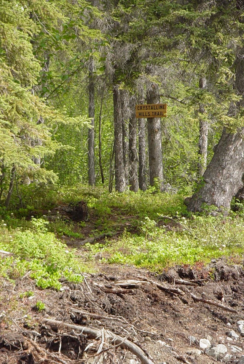 ModerateCrystalline Hills Trail2.5 mi · 2.5 hr · 5.3 mi awayShady forest loop with an early viewpoint and a steep optional scramble
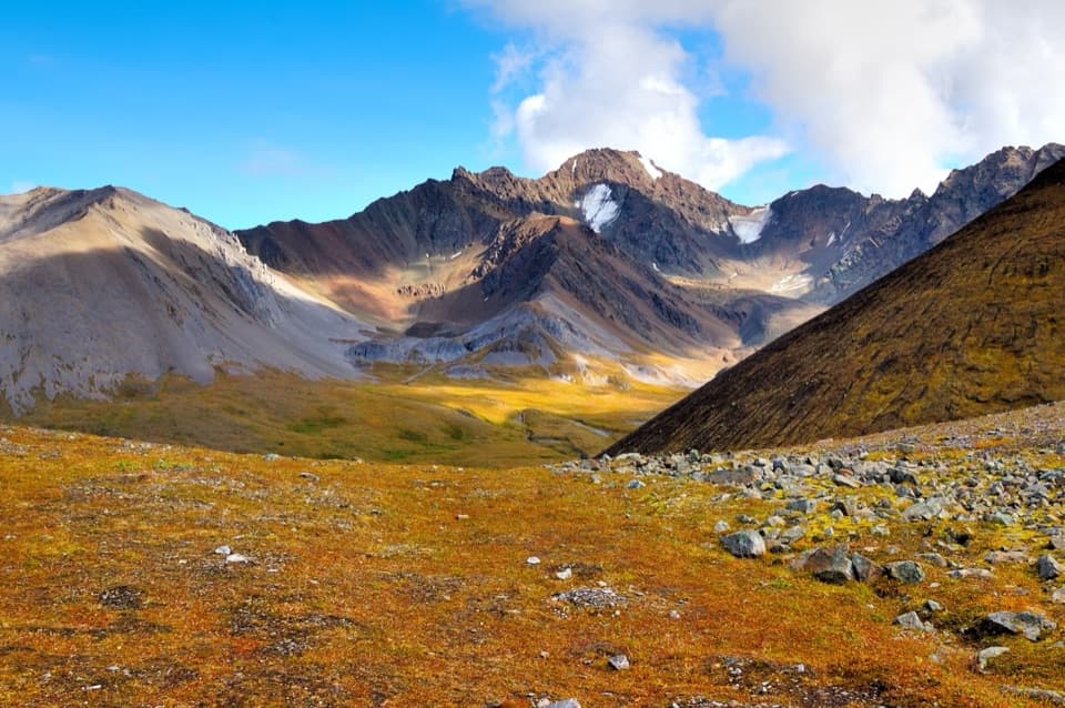 ChallengingDixie Pass Trail20 mi · 3 days · 12.7 mi awayAn alpine pass reached by cold creek crossings and difficult navigation.
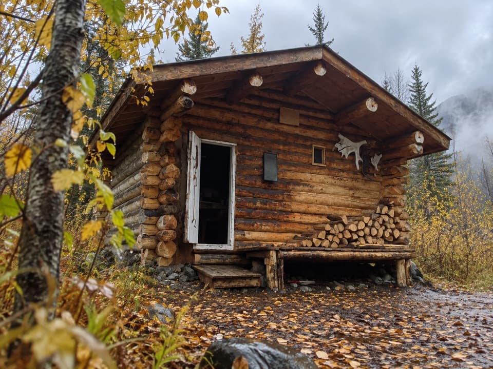 ChallengingNugget Creek Trail30 mi · 2.5 days · 13.3 mi awayA long, level route to a rustic cabin with Mount Blackburn views.
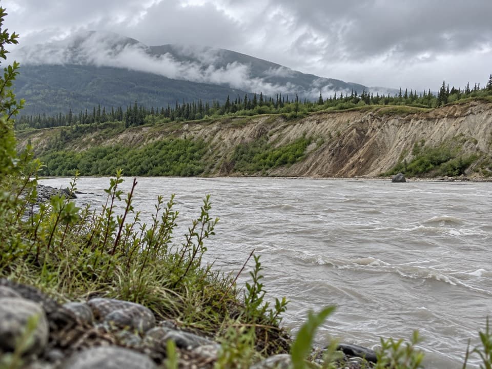 ChallengingKotsina Trail (Easement)17.7 mi · 18 hr · 13.9 mi awayA rough 17.7-mile passage to Wrangell-St. Elias wilderness.
Parkwolf’s Wrangell-St. Elias ranking

The audio tour guide for the drive, plus offline maps, trails, and wildlife heatmaps for when the signal drops.