
Place
Challenging
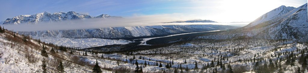
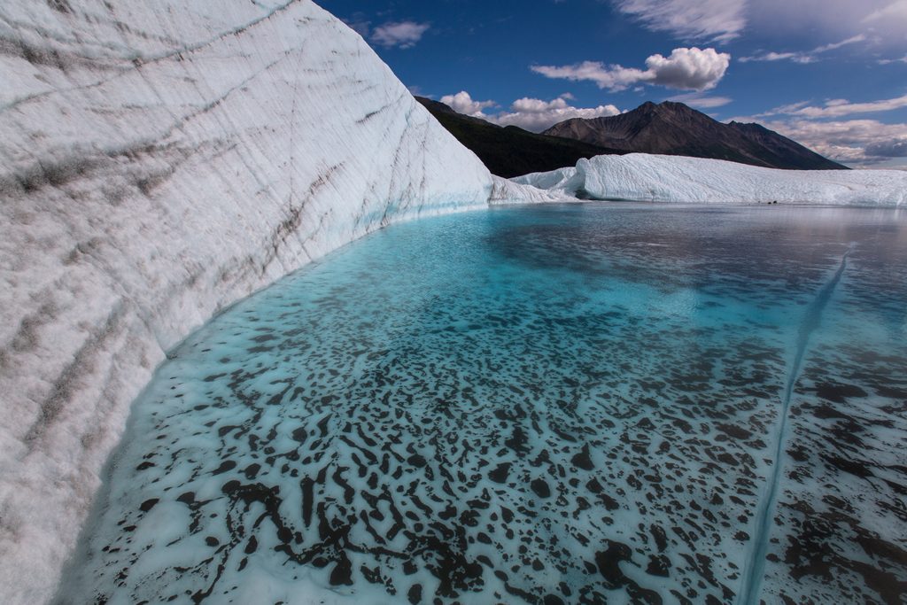
This is a remote, minimally maintained route that follows an ORV track roughly 15 miles one way (about 30 miles total out-and-back) to the Nugget Creek Public Use Cabin. Expect a utilitarian tread, occasional ruts and boggy sections, and most of the scenic payoff near the end: the cabin sits around 3,000 feet with access to the toe-area of the Kuskulana Glacier and remnants of old mine sites on a bench above the creek. It’s a big commitment best treated as a multi-day backpack rather than a casual day hike.
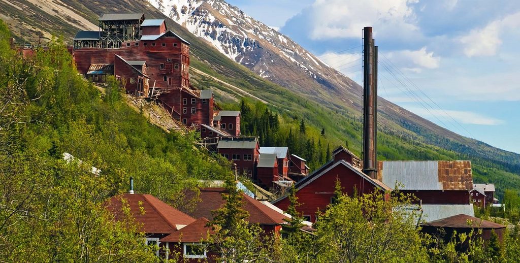
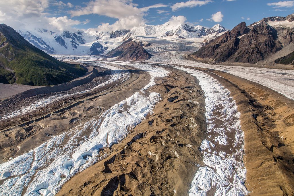
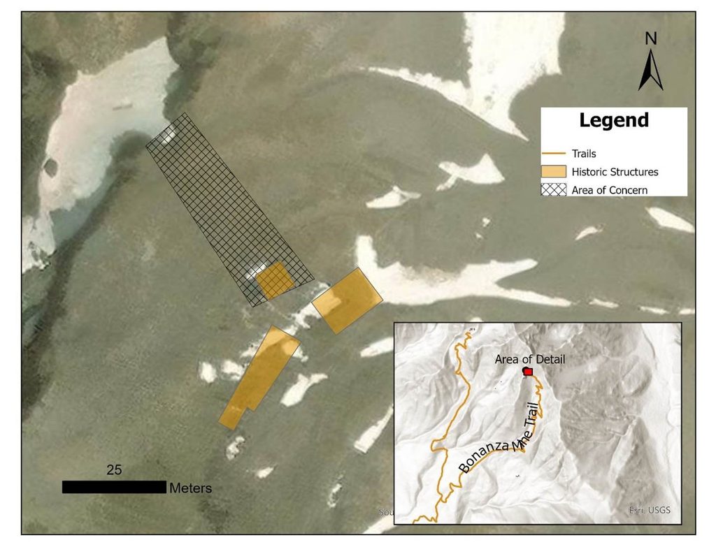
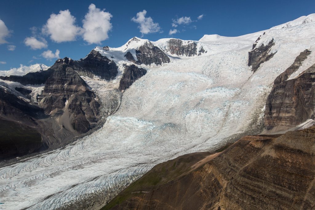
The first miles are more about travel efficiency than views—this is a corridor-style approach. Near the end, the country opens to classic Wrangells scenery with glacier views and big, wild valleys. From the cabin, a rougher path continues about 1.5 miles to historic mine sites at ~3,800 feet. The setting is truly remote and rugged. This is active bear country; carry and know how to use bear spray and manage food and smells accordingly.
The Nugget Creek Cabin is small, dark, and intentionally rustic: four wooden bunks (sleeping space for four), a woodstove, table and chairs, and a basic pit toilet. No running water—collect from Nugget Creek about 50 yards away and treat it. You can gather dead and down wood; please restock the cabin’s wood supply for the next party. Reservations are required year‑round and can be made up to six months out, and the cabin is popular—bring a tent in case it’s occupied when you arrive. Dogs are allowed; keep them leashed (six feet max), control noise, and pack out waste.
The unmarked Kotsina Road turns off the McCarthy Road at mile 14.5 to reach the trailhead. Kotsina can be extremely rough; low-clearance vehicles may not make it. If you park on McCarthy Road, add about 2 miles to your hike. Parking at the trailhead requires permission and a fee from the Chitina Native Corporation. The route is open to foot, horse, and mountain bike traffic; recreational ATV use requires a permit. In winter, snowmachines are allowed with at least six inches of snow. Small airplanes can land at a gravel airstrip near the cabin. Nugget Creek can run high and be difficult to cross; it joins the Kuskulana River about a quarter mile downstream. Check in with the Chitina Ranger Station or Kennecott Visitor Center for current conditions, especially water levels.
June through September is the primary window. Early June favors lower elevations to dodge lingering snow; July is generally the sweet spot; August can be better at higher elevations and less buggy; September brings more rain and early cold at elevation—stick lower if you want to avoid wintry conditions. Bugs can be intense June–August—bring headnets and repellent. Start early to bank cool miles and give yourself time for creek crossings and cabin logistics.
Bottom line: If you don’t mind a long ORV approach for a big, quiet payoff—glacier views, a rustic cabin, and real Wrangells solitude—this route delivers. If you want constant scenery underfoot, pick a different McCarthy‑area hike.
Unmarked Kotsina Road turns off McCarthy Road at mile 14.5. Kotsina can be extremely rough; low-clearance vehicles may not make it. If impassable, park along McCarthy Road (adds ~2 miles). Parking at the trailhead requires permission and a fee from the Chitina Native Corporation.
Remote, rugged setting with difficult creek crossings, heavy bugs in summer, and motorized use on a rough ORV track. Check current conditions with local ranger staff; carry full backcountry kit and bear protection.
Place
Place
Place
Place
Moderate
Moderate
Challenging
Challenging

Parkwolf Tour Guide
