Kotsina Trail (Easement) in Wrangell-St. Elias National Park

Wrangell-St. Elias National Park, AK

Kotsina Trail (Easement)

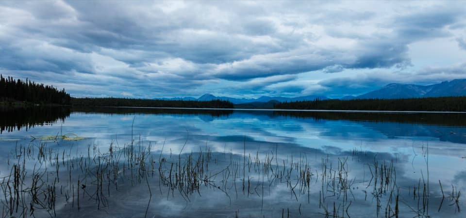
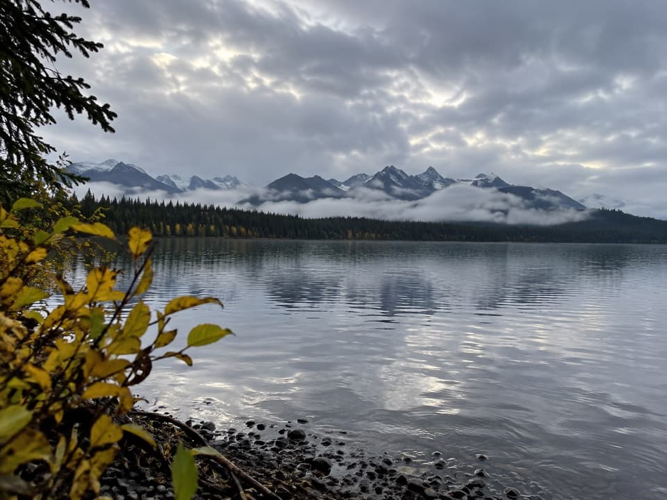
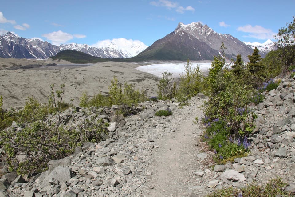
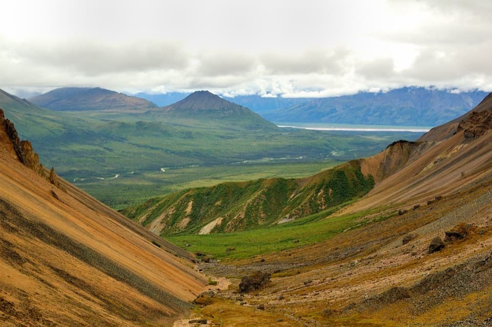
A rough 17.7-mile passage to Wrangell-St. Elias wilderness.

Length
17.7mi
Time
18hr
Elev. change
1,417ft
Difficulty
Challenging
  • High point 2,769 ft

Hear the audio tour

Kotsina Road Access to Nugget Creek

Overview

About Kotsina Trail (Easement)

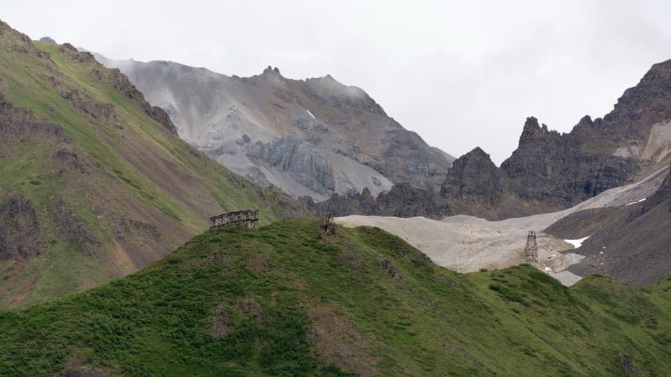
Kotsina Trail (Easement) is a long foot passage across Ahtna and Chitina Native Corporation lands to Wrangell-St. Elias National Park. The mapped easement line runs 17.68 miles one way from its Kotsina Road entrance to park lands, where the National Park Service says it continues into designated wilderness. Park information describes the easement as about 20 miles but does not specify the exact point where that measurement begins. Treat both distances as approximate planning figures; returning along the mapped line would be about 35.4 miles. An 18-hour one-way time is only a rough estimate: no official hiking time is published.

Why go

  • A public foot easement reaches Wrangell-St. Elias park lands.

Heads up

  • A remote, rough route nearly 18 miles one way before reaching park lands.
  • The NPS distance and mapped route length differ.

Map & elevation

The route

Loading the Wrangell-St. Elias map
Full map
Elevation1,352–2,769 ft
TrailheadKotsina Road easement entrance61.55738, -144.05936
Keep this map with you offline in the Parkwolf app

Plan your hike

Before you go

Parking

The National Park Service identifies Dixie Pass, 3.9 miles up Kotsina Road from the mile 14.5 McCarthy Road turnoff, as the best Kotsina access. The mapped easement starts at a nearby roadside entrance, but its exact link to the parking area is not marked. Use permitted parking at Dixie Pass; passage rights do not allow parking on the private easement.

Safety

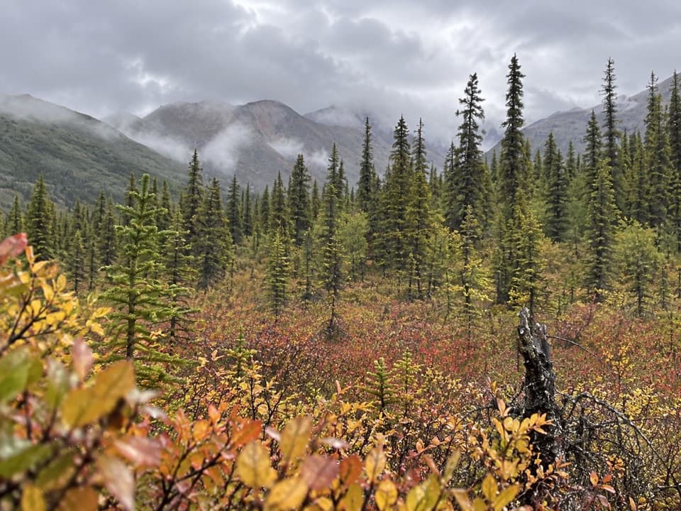
Remote route with brush, wetlands and difficult creek crossings that vary year to year. The private easement is for passage only: no camping, parking or hunting. Confirm current access and permitted parking before departure.

A park ranger sits on a dash-mounted phone, talking, as Parkwolf’s Tour Guide plays “Army Cutworm Moths: A Grizzly Bear Buffet” on Grand Loop Road below Dunraven Pass in Yellowstone
Parkwolf Tour GuideThe highest, rockiest slopes around here are a summer buffet for grizzly bears.

Wrangell-St. Elias Tour Guide

Your drive to Kotsina Trail (Easement), narrated.

Parkwolf is a GPS audio tour guide for Wrangell-St. Elias National Park. As you drive, it chimes in with what’s ahead: hidden gems, upcoming stops, history, geology, and wildlife, right through your car’s speakers.

See the Wrangell-St. Elias audio tour

Recorded for this trailhead

Kotsina Road Access to Nugget Creek
0:00 / 0:28
“You're approaching the Kotsina Road turnoff, the access for Nugget Creek's backcountry cabin.”

Plays as you drive up to this trailhead in the Parkwolf Wrangell-St. Elias Tour Guide.

More stories near here in the app

  • The Songbird That Dives
  • The Smell of Home
  • Silver Lake Access
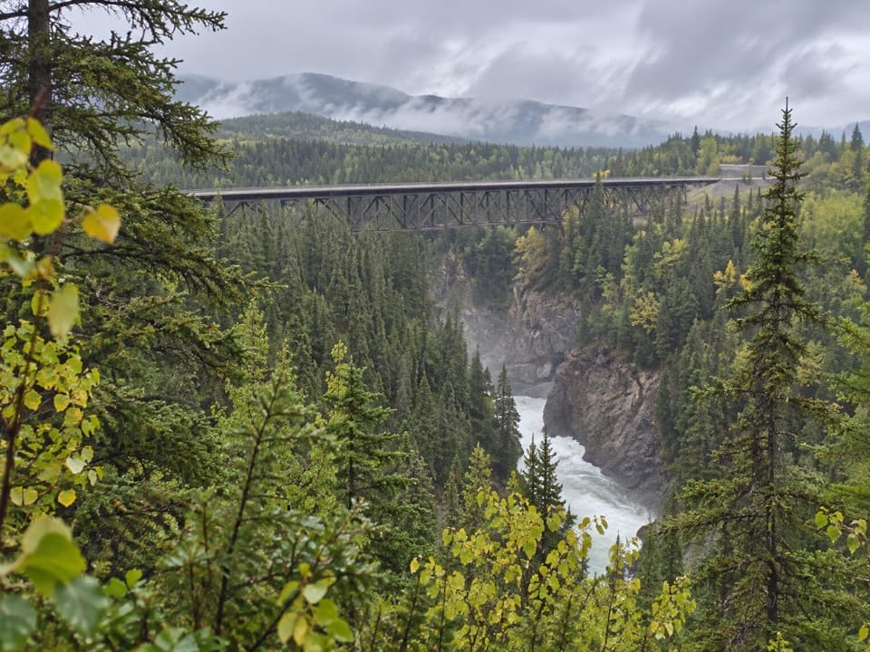
  • Kuskulana Bridge
  • 81 audio storiesacross Wrangell-St. Elias’s roads, triggered by GPS as you drive
  • Wildlife heatmapsfor Grizzly Bear, Moose, Humpback Whale, and 13 more
  • Works offlinemaps, 28 trails, 62 places, and audio download before you lose signal
  • CarPlay readysimple controls built for the drive
★★★★★
“Fantastic app with many points of information… It’s great to just turn on while you’re driving and it gives you an audio tour of the national Park. We love it!!!!”
JMJamesApp Store review
Download Parkwolf on the App StoreGet Parkwolf on Google Play

4.7 from 8,600+ ratings

Trail guide

Hiking Kotsina Trail (Easement)

AccessThe National Park Service identifies the Dixie Pass trailhead, 3.

The National Park Service identifies the Dixie Pass trailhead, 3.9 miles up Kotsina Road from its turnoff at mile 14.5 on McCarthy Road, as the best access for Kotsina. The mapped easement begins at a nearby roadside entrance; its exact relationship to the parking area is not marked. Use permitted parking at Dixie Pass and do not leave a vehicle on the private easement. The line ends at the park boundary; beyond it, the wilderness route continues on foot.
Terrain and conditionsExpect a remote, rough backcountry route rather than a maintained hiking trail.

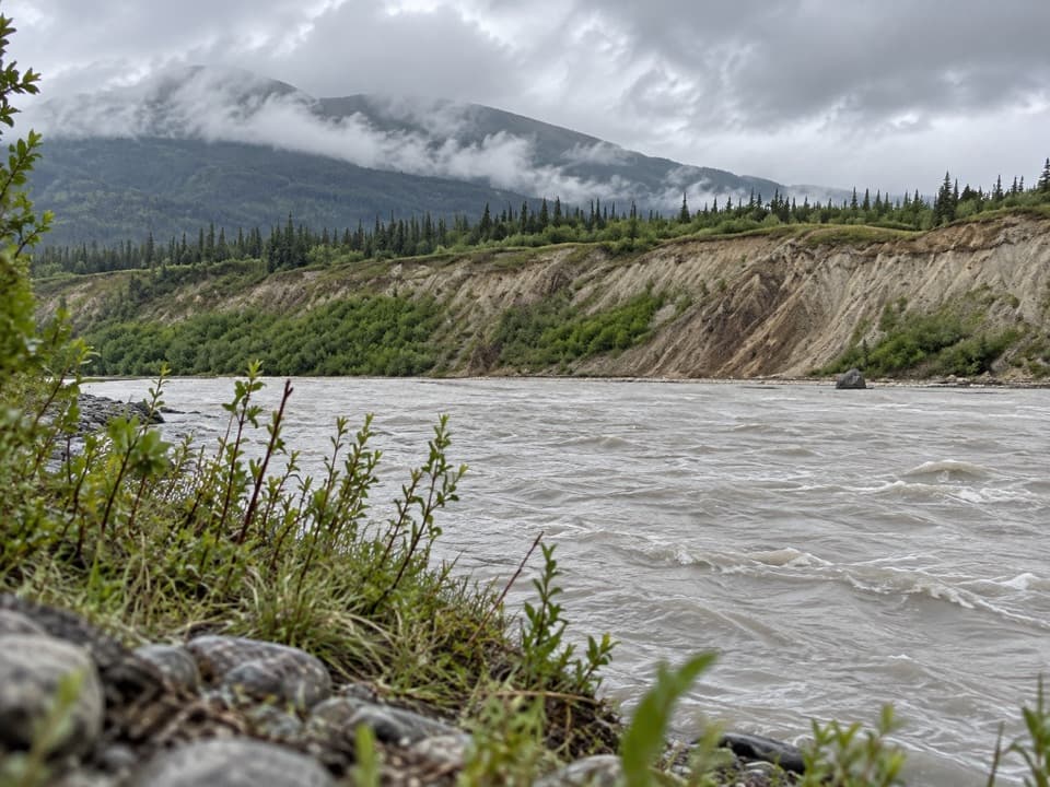
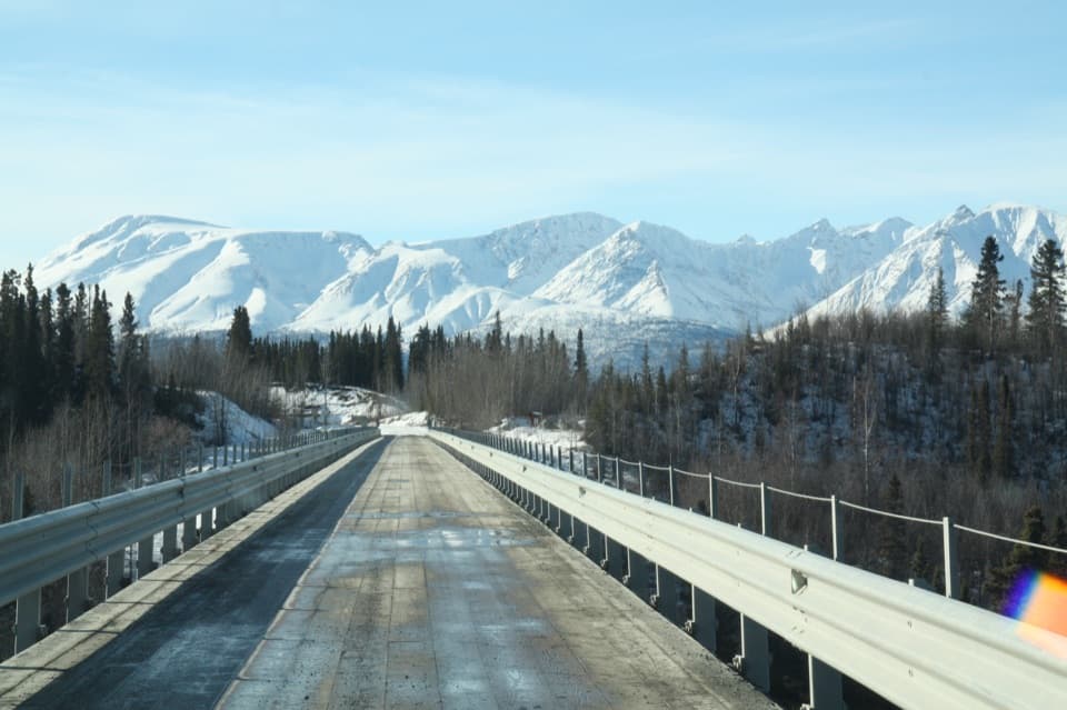
Expect a remote, rough backcountry route rather than a maintained hiking trail. The National Park Service warns of brush, wetlands and difficult creek crossings, with conditions that can change from year to year. The mapped line is an official easement alignment, not a surveyed tread, so confirm current access and route conditions before setting out.

Land accessThe easement crosses private land owned by Ahtna, Inc. and Chitina Native Corporation.

The easement crosses private land owned by Ahtna, Inc. and Chitina Native Corporation. It allows passage through to public lands; it does not allow camping, parking or hunting on the easement. Stay within the marked corridor and respect private property. No dog rule or trail facilities were confirmed.

Wildlife

Wildlife in Wrangell-St. Elias

All Wrangell-St. Elias wildlife maps

Sighting maps show where each species has been reported across Wrangell-St. Elias. Wildlife moves, so no sighting is guaranteed.

Parkwolf’s Wrangell-St. Elias ranking

Top-rated trails in Wrangell-St. Elias

All 28 trails
  1. 1Root Glacier TrailModerate · 4.5 mi
  2. 2Bonanza Mine TrailChallenging · 9 mi
  3. 3Skookum Volcano TrailModerate · 5 mi
  4. 4Jumbo Mine TrailChallenging · 10 mi
  5. 5Caribou Creek TrailModerate · 7 mi
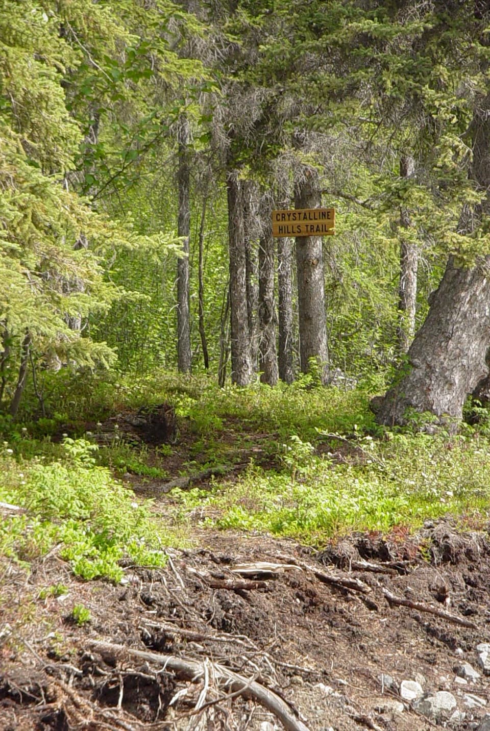
  6. 6Crystalline Hills TrailModerate · 2.5 mi

Take Parkwolf to Wrangell-St. Elias.

The audio tour guide for the drive, plus offline maps, trails, and wildlife heatmaps for when the signal drops.

4.7 from 8,600+ ratings

Download Parkwolf on the App StoreGet Parkwolf on Google Play