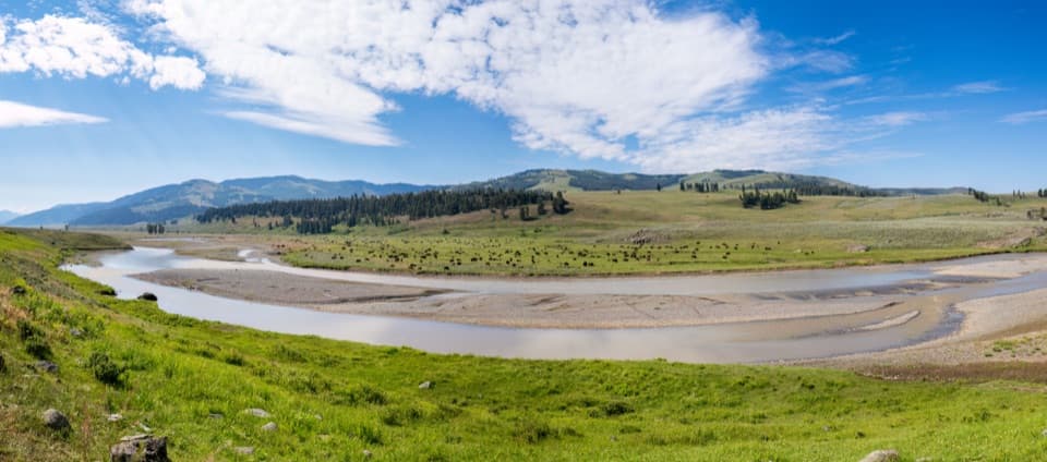
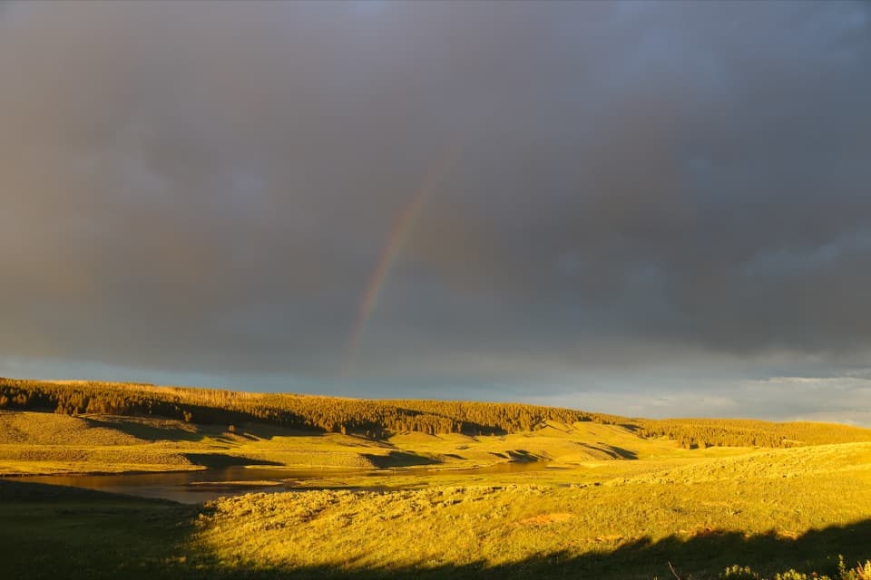
Bechler Falls in Yellowstone National Park

Sight · Yellowstone National Park

Bechler Falls

A low cascade rewards the long, remote approach through river country.

Photo: Public Domain
Type
Sight
Nearest trail
0.8 mi
Audio stories
2 nearby
  • Parking
  • Trailhead

Hear the audio tour

Cave Falls and Bechler Falls

Overview

About Bechler Falls

Why stop

  • Several cascades and river views make the walk more than a single lookout.

Heads up

  • Reaching the falls takes a remote drive and roughly a three-mile walk.

Map

Where it is

Loading the Yellowstone map
Full map
SightBechler Falls44.14941, -111.01183
Keep this map with you offline in the Parkwolf app

Plan your stop

Before you go

5 active Yellowstone alerts

  • ClosureBiscuit Basin closed after hydrothermal explosionBiscuit Basin’s parking lot, boardwalk, and Firehole River are closed to all travel.Official details
  • ClosureMost Yellowstone roads close to regular vehicles November 1Most Yellowstone roads and the West, South, and East entrances are scheduled to close to regular vehicles November 1, 2026, as the park prepares for winter operations.Official details
See all 5 alerts
A park ranger sits on a dash-mounted phone, talking, as Parkwolf’s Tour Guide plays “Army Cutworm Moths: A Grizzly Bear Buffet” on Grand Loop Road below Dunraven Pass in Yellowstone
Parkwolf Tour GuideThe highest, rockiest slopes around here are a summer buffet for grizzly bears.

Yellowstone Tour Guide

Hear Yellowstone as you drive it.

Parkwolf is a GPS audio tour guide for Yellowstone National Park. As you drive, it chimes in with what’s ahead: hidden gems, upcoming stops, history, geology, and wildlife, right through your car’s speakers.

See the Yellowstone audio tour

Recorded for this place

Cave Falls and Bechler Falls
0:00 / 0:27
“Cave Falls is coming up, where Fall River spreads across a basalt ledge in a broad, low curtain.”

Plays as you drive up to Bechler Falls in the Parkwolf Yellowstone Tour Guide.

More stories near here in the app

  • Bechler Ranger Station and Backcountry Office
  • 243 audio storiesacross Yellowstone’s roads, triggered by GPS as you drive
  • Wildlife heatmapsfor Wolf, Grizzly Bear, Bison, and 13 more
  • Works offlinemaps, 167 trails, 192 places, and audio download before you lose signal
  • CarPlay readysimple controls built for the drive
★★★★★
“First time driving through a national park. We used the Yellowstone tour on grand loop Road and it’s just like having a tour guide in your car with you.”
Jyg5001App Store review
Download Parkwolf on the App StoreGet Parkwolf on Google Play

4.7 from 8,600+ ratings

Guide

More about Bechler Falls

A waterfall in the remote southwestBechler Falls is a roughly 15-foot cascade on the Bechler River in Yellowstone’s southwest…

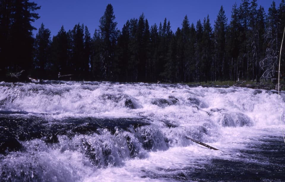
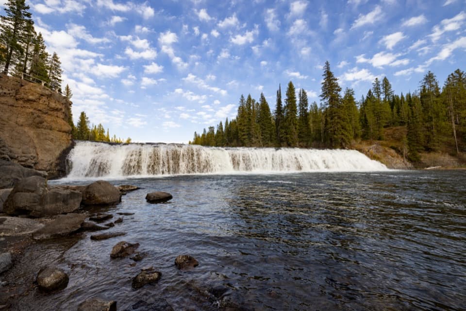
Bechler Falls is a roughly 15-foot cascade on the Bechler River in Yellowstone’s southwest Cascade Corner. It is a worthwhile add-on if you are already heading to Cave Falls and want a river walk; this is a separate waterfall farther upstream, not the road-end Cave Falls itself. Expect roughly three miles round trip on foot, so this is not a roadside glance.

The walk from Cave FallsStart at the Cave Falls trailhead and follow the river corridor upstream.

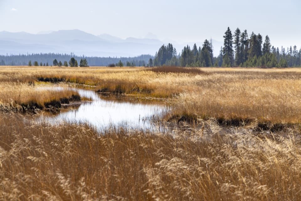
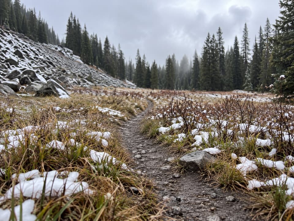
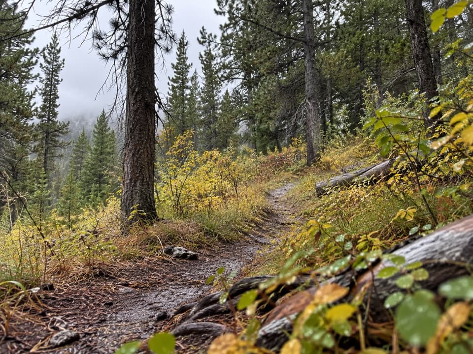
Start at the Cave Falls trailhead and follow the river corridor upstream. The route reaches the Falls River and Bechler River confluence before continuing along the Bechler; trip reports describe mostly level walking with gentle rises, shaded stretches and the sound of rapids along the way. Published estimates vary from about 2.6 to 3 miles round trip, so allow a little margin. One account describes a small meadow about 100 yards beyond the falls, a more open pause after the wooded river walk.

Make the remote approach workReach the trailhead via Cave Falls Road from Ashton, Idaho.

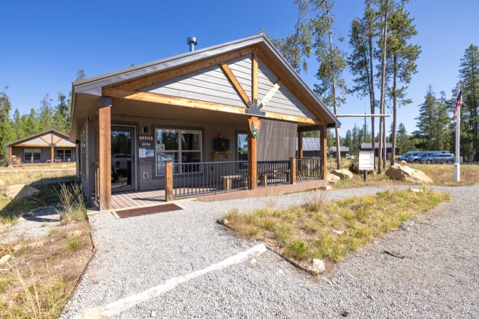
Reach the trailhead via Cave Falls Road from Ashton, Idaho. It is a remote drive, and the road’s current surface and seasonal status were not verified; check road conditions before setting out. The NPS warns that the nearby Fall River ford is wide, dangerous and not recommended. Stay on the maintained route and do not use that ford as a shortcut. The trailhead has an information kiosk and parking. Toilet availability is uncertain: one visitor account mentions restrooms at the parking area, but the NPS listing does not. Bring food and water; no services are listed here. Pets are not allowed on the trail.

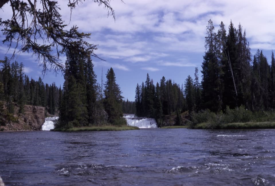
Compose the river, not just the dropThese are broad, low falls divided by rock ledges and wooded islands, rather than one tall…

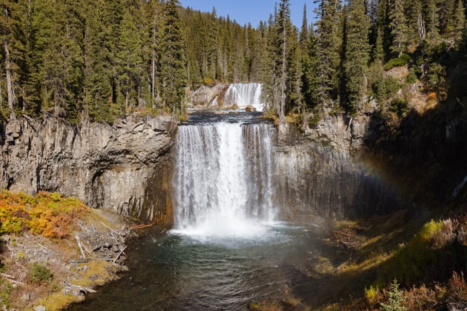
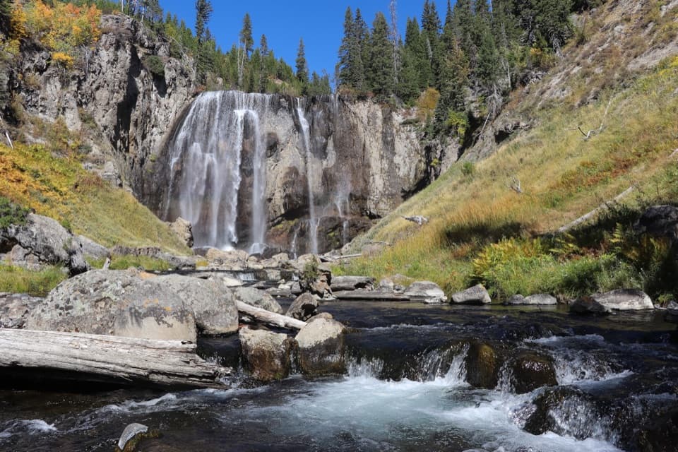
These are broad, low falls divided by rock ledges and wooded islands, rather than one tall plunge. From near the water, leave some river in the foreground and frame the cascade across the channel; it shows how the flow splits around the islands and gives the modest drop context.

The nameExplorers E. C. Gregg and C. H. Birdseye named the falls in 1921.

Explorers E. C. Gregg and C. H. Birdseye named the falls in 1921. The stream’s repeated cascades are part of the character of this remote corner of Yellowstone, where the waterfall is one stop in a larger river landscape.

Wildlife

Wildlife in Yellowstone

All Yellowstone wildlife maps

Sighting maps show where each species has been reported across Yellowstone. Wildlife moves, so no sighting is guaranteed.

Parkwolf’s Yellowstone ranking

Top sights in Yellowstone

All 192 places
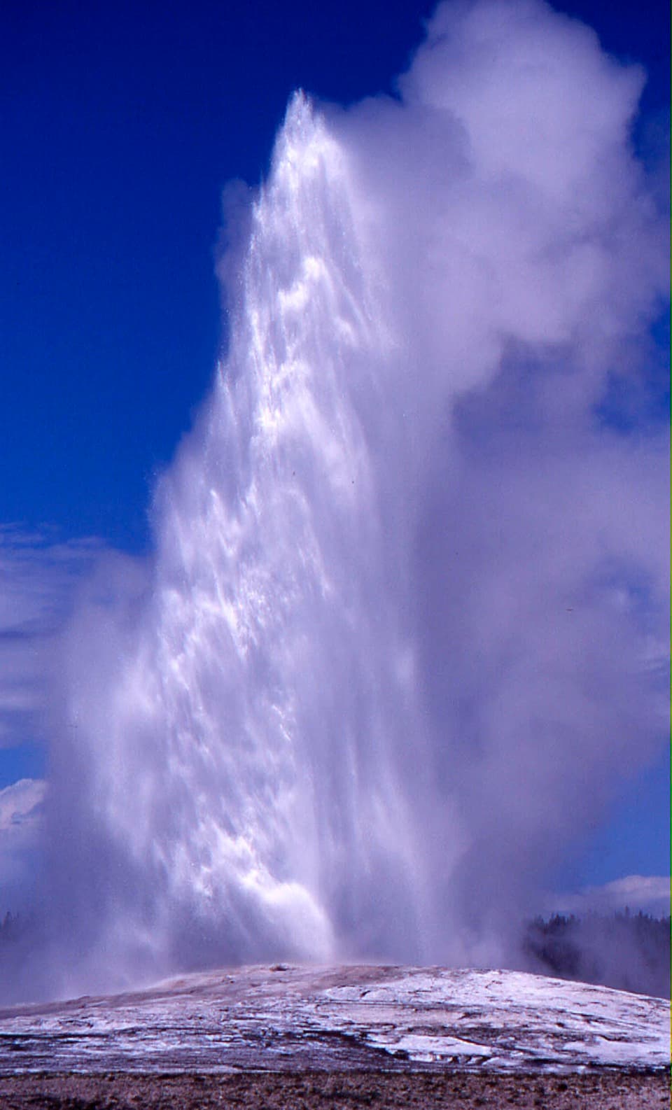
  1. 1Old Faithful GeyserSight
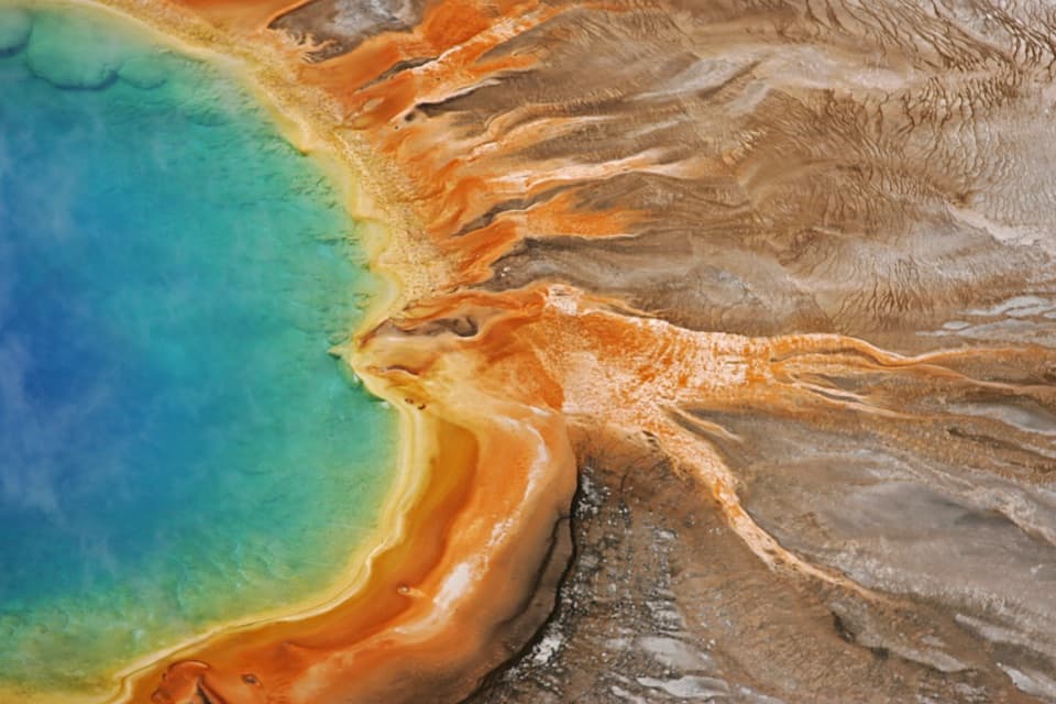
  2. 2Grand Prismatic SpringSight
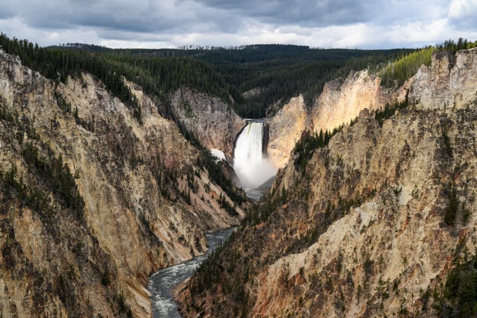
  3. 3Artist PointSight
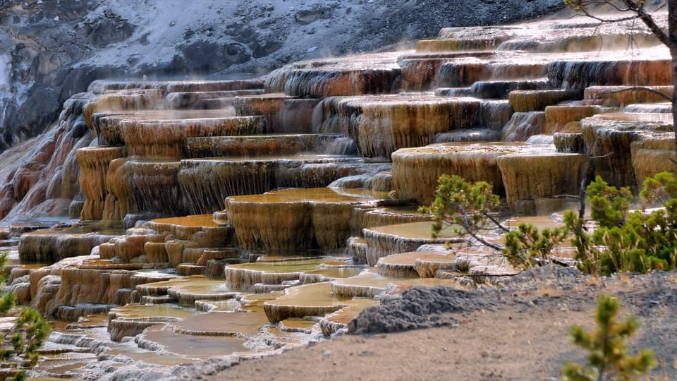
  4. 4Mammoth Hot Springs Lower TerracesSight
  5. 5Lamar Valley Wildlife WatchingSight
  6. 6Hayden Valley Overlook at Yellowstone RiverSight

Take Parkwolf to Yellowstone.

The audio tour guide for the drive, plus offline maps, trails, and wildlife heatmaps for when the signal drops.

4.7 from 8,600+ ratings

Download Parkwolf on the App StoreGet Parkwolf on Google Play