Parking
Use Bechler Ranger Station Trailhead (9K1) on Cave Falls Road, just north of Yellowstone’s southern boundary. Follow Boundary Creek Trail about 1.6 miles to the Bechler Meadows junction.
Yellowstone National Park, WY · MT · ID
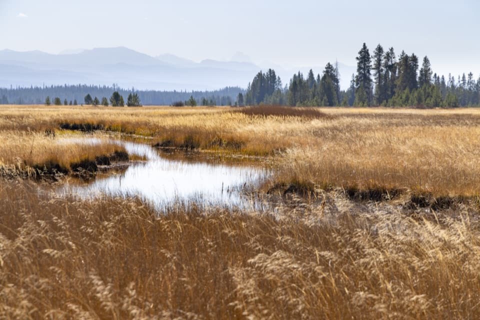
A creek crossing opens onto Tetons views and wildflower meadows.
Overview
Map & elevation
Plan your hike

The highest, rockiest slopes around here are a summer buffet for grizzly bears.
Yellowstone Tour Guide
Parkwolf is a GPS audio tour guide for Yellowstone National Park. As you drive, it chimes in with what’s ahead: hidden gems, upcoming stops, history, geology, and wildlife, right through your car’s speakers.
See the Yellowstone audio tourRecorded for this trailhead
Bechler Ranger Station and Backcountry Office“You're nearing Bechler Ranger Station, a useful first stop for exploring this remote corner of the park. The backcountry office has maps and ranger advice for hikes through the meadows and waterfall country.”
Plays as you drive up to this trailhead in the Parkwolf Yellowstone Tour Guide.
More stories near here in the app
“First time driving through a national park. We used the Yellowstone tour on grand loop Road and it’s just like having a tour guide in your car with you.”


Trail guide
Bechler Meadows Trail is a 10.6-mile out-and-back from Bechler Ranger Station: follow Boundary Creek Trail about 1.6 miles to the named route, hike its roughly 3.7-mile meadow segment north, then return by the same corridor. Allow about six hours for the mostly level distance and the water crossings. This is remote backcountry, so plan the whole day; Yellowstone recommends hiking in groups of three or more, and pets are not allowed.
The named segment begins in forest. After about 1.8 miles, you pass the Rocky Ford Cutoff junction; another 0.4 mile brings you to Boundary Creek. The route description calls this crossing knee-deep, but water level changes, so judge the ford before stepping in. A suspension bridge is also pictured on the trail, though it is not clear which waterway it crosses; do not assume it replaces the Boundary Creek ford. Yellowstone warns that park rivers are cold and swift and crossings can be hazardous.
Past the creek, the forest opens into wide meadow. Look south for views toward the Tetons, and in bloom season for purple lupine, pink elephanthead, and tall purple larkspur. Near the north end, Ouzel Falls appears across the meadow. For a photograph, keep some of the grass or creek in the foreground so the falls sit within the broad landscape.
Ouzel Falls drops about 230 feet from the southern end of Madison Plateau to the Bechler River. Its name comes from the water ouzel, or American dipper, which feeds in fast-moving water. The trail description places the far end at Bechler Meadows Cutoff, about half a mile from Bechler Ford, but mapped paths do not show that junction clearly. Carry the official park map and confirm the connection before continuing onto the cutoff; turn back along the same route for this out-and-back.
Wildlife
 713 sightingsGrizzly BearMost seen around 6 AMSighting map
 743 sightingsWolfMost seen around 6 AMSighting map
 5,273 sightingsBisonMost seen around 7 AMSighting map
 3,258 sightingsElkMost seen around 7 PMSighting map
 397 sightingsMooseMost seen around 7 PMSighting map
 1,494 sightingsBlack BearMost seen around 7 PMSighting map
Sighting maps show where each species has been reported across Yellowstone. Wildlife moves, so no sighting is guaranteed.
Keep exploring
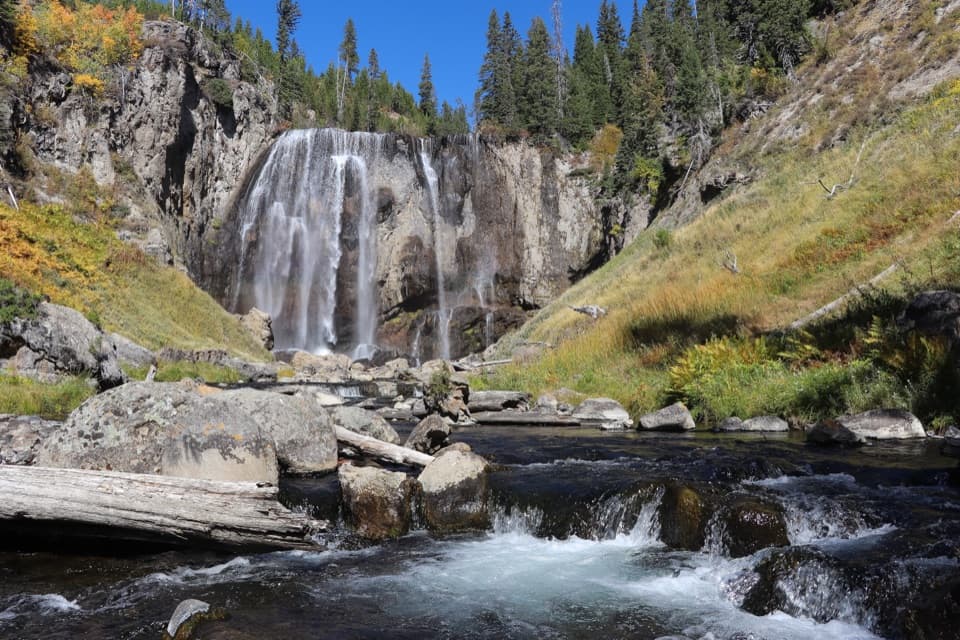 ModerateDunanda Falls Trail16.9 mi · 8.5 hr · At the trailheadA long, mostly level hike to a 110-foot waterfall.
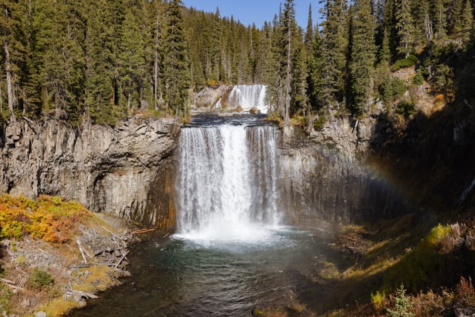 ChallengingBechler River Trail30 mi · 20 hr · At the trailheadA remote river traverse threads meadows, waterfalls, and thermal ground.ChallengingColonnade Falls Trail18 mi · 9 hr · At the trailheadA long, nearly level route to a two-tier backcountry waterfall.
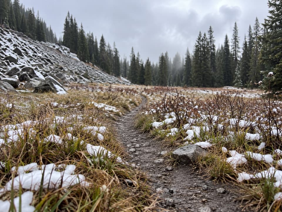 ModerateBoundary Creek Trail17.2 mi · 10 hr · At the trailheadA remote crossing through open meadows and several waterfalls.
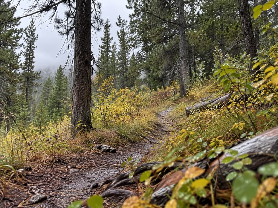 ModerateRobinson Creek Trail9.1 mi · 4.5 hr · At the trailheadA Bechler backcountry route with Robinson Lake as a shorter turnaround.
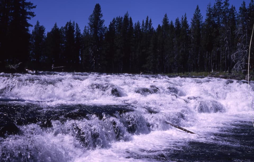 EasyBechler Falls Trail2.6 mi · 1.3 hr · 2.4 mi awayA forested river walk threads cascades to a low waterfall.
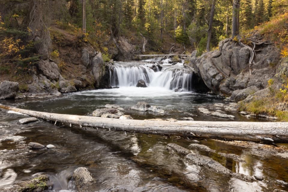 EasyNorth Fork Trail to Scout Pool0.6 mi · 30 min · 8.8 mi awayA brief Scout Pool detour on the long Union Falls hike.
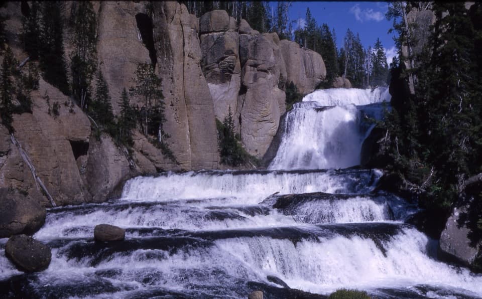 ModerateTerraced Falls Trail4 mi · 2.5 hr · 9.9 mi awaySix waterfall tiers make this quiet backcountry walk worthwhile.
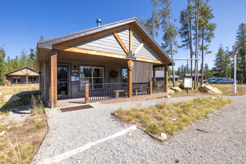 Ranger station · 0.1 mi awayBechler Backcountry OfficeGet Bechler route advice and backcountry permits here.
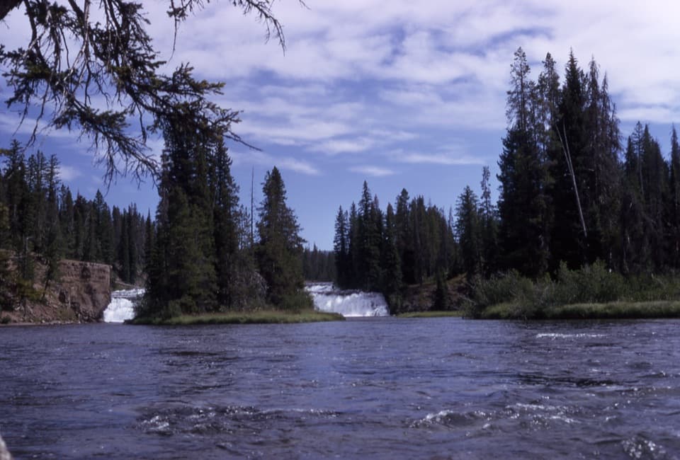 Sight · 1.7 mi awayBechler FallsA low cascade rewards the long, remote approach through river country.
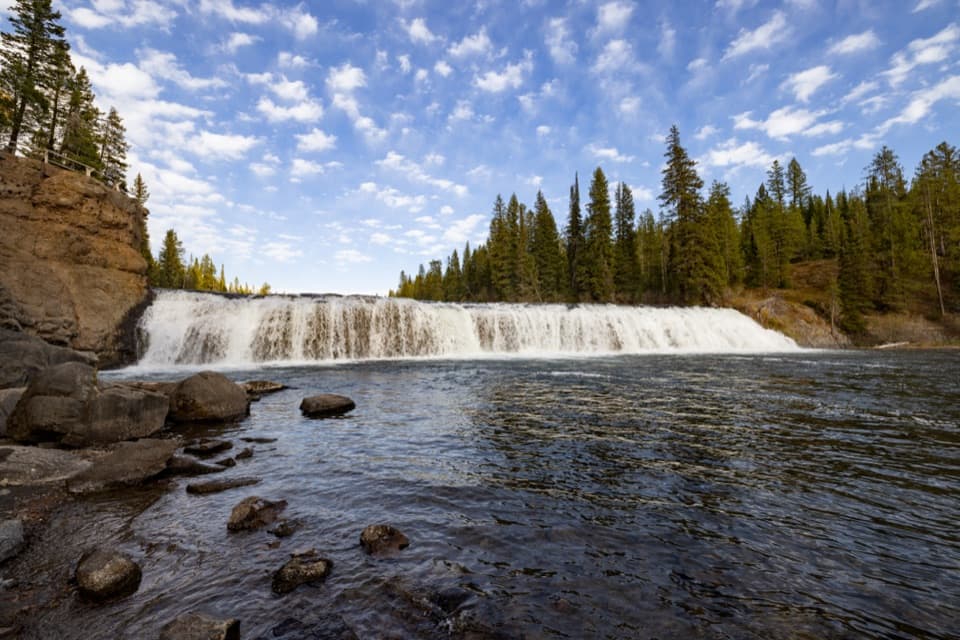 Sight · 2.4 mi awayCave FallsA broad cascade at the end of a long, rough gravel road.Sight · 6.9 mi awayDunanda FallsA substantial waterfall at the end of the 17-mile Bechler hike.
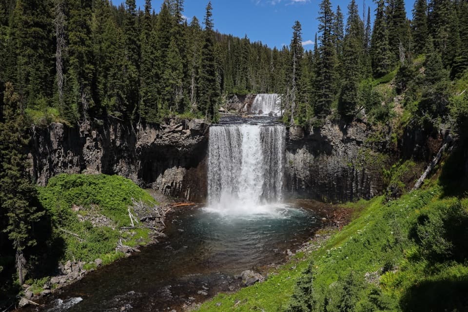 Sight · 7.8 mi awayColonnade FallsPaired falls reached by a long hike and a cold river ford.
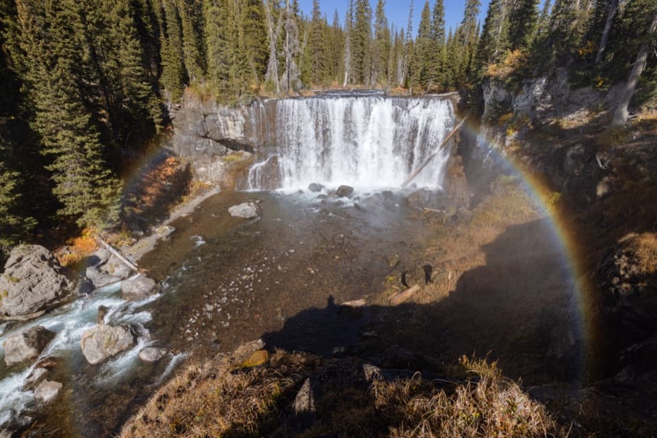 Sight · 8.1 mi awayIris FallsA 45-foot waterfall with rainbow-prone spray in the Bechler backcountry.
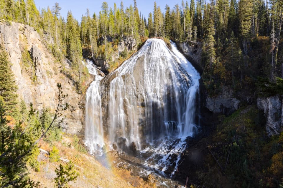 Sight · 9.2 mi awayUnion FallsTwo streams meet at the brink, then plunge about 250 feet.
Parkwolf’s Yellowstone ranking

The audio tour guide for the drive, plus offline maps, trails, and wildlife heatmaps for when the signal drops.





