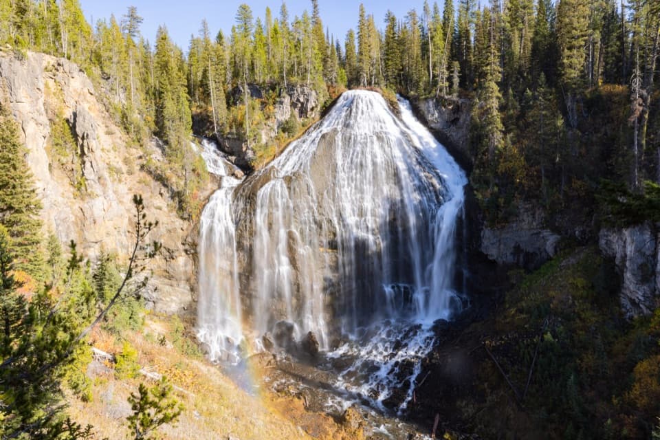
Bechler River Trail in Yellowstone National Park

Yellowstone National Park, WY · MT · ID

Bechler River Trail

A remote river traverse threads meadows, waterfalls, and thermal ground.

Photo: Wikimedia Commons
Length
30mi
Time
20hr
Elev. change
2,175ft
Difficulty
Challenging
  • No dogs
  • High point 8,550 ft
  • #56 of 167 in Yellowstone

Hear the audio tour

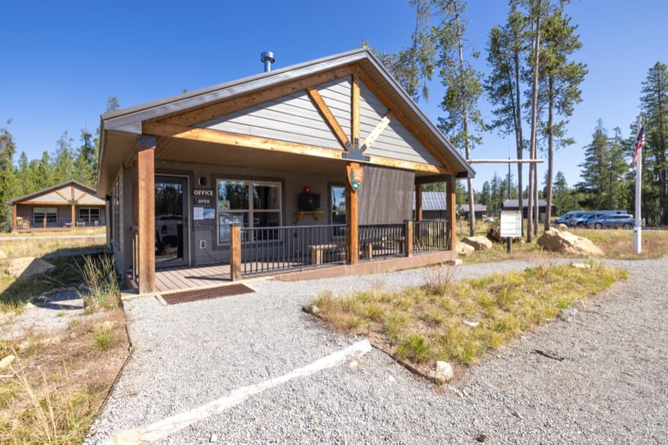
Bechler Ranger Station and Backcountry Office

Overview

About Bechler River Trail

Why go

  • A long chain of waterfalls and hydrothermal features
  • A true backcountry traverse with changing river and forest scenery

Heads up

  • Repeated remote river fords can become hazardous at high water
  • Point-to-point shuttle plus a 2.4-mile walk from Lone Star Geyser to road access

Map & elevation

The route

Loading the Yellowstone map
Full map
Elevation6,375–8,550 ft
TrailheadBechler Ranger Station Trailhead (9K1)44.14986, -111.04547
Keep this map with you offline in the Parkwolf app

Plan your hike

Before you go

Parking

Start at Bechler Ranger Station Trailhead (9K1) on Cave Falls Road, just north of Yellowstone’s southern boundary. This point-to-point hike ends at Lone Star Geyser; the nearest vehicle access is the Lone Star Geyser Trailhead, about 2.4 miles away on foot. Arrange a shuttle or pickup and include that exit walk in your plan.

Safety

Several cold, deep or swift river fords can be dangerous, especially during runoff; scout before crossing and wait if unsafe. Overnight hikers need a Yellowstone backcountry permit and designated campsites. Stay on established paths around thermal ground; soaking in water entirely of thermal origin is prohibited.

5 active Yellowstone alerts

  • ClosureBiscuit Basin closed after hydrothermal explosionBiscuit Basin’s parking lot, boardwalk, and Firehole River are closed to all travel.Official details
  • ClosureMost Yellowstone roads close to regular vehicles November 1Most Yellowstone roads and the West, South, and East entrances are scheduled to close to regular vehicles November 1, 2026, as the park prepares for winter operations.Official details
See all 5 alerts
A park ranger sits on a dash-mounted phone, talking, as Parkwolf’s Tour Guide plays “Army Cutworm Moths: A Grizzly Bear Buffet” on Grand Loop Road below Dunraven Pass in Yellowstone
Parkwolf Tour GuideThe highest, rockiest slopes around here are a summer buffet for grizzly bears.

Yellowstone Tour Guide

Hear Yellowstone as you drive it.

Parkwolf is a GPS audio tour guide for Yellowstone National Park. As you drive, it chimes in with what’s ahead: hidden gems, upcoming stops, history, geology, and wildlife, right through your car’s speakers.

See the Yellowstone audio tour

Recorded for this trailhead

Bechler Ranger Station and Backcountry Office
0:00 / 0:32
“You're nearing Bechler Ranger Station, a useful first stop for exploring this remote corner of the park. The backcountry office has maps and ranger advice for hikes through the meadows and waterfall country.”

Plays as you drive up to this trailhead in the Parkwolf Yellowstone Tour Guide.

More stories near here in the app

  • Cave Falls and Bechler Falls
  • 243 audio storiesacross Yellowstone’s roads, triggered by GPS as you drive
  • Wildlife heatmapsfor Wolf, Grizzly Bear, Bison, and 13 more
  • Works offlinemaps, 167 trails, 192 places, and audio download before you lose signal
  • CarPlay readysimple controls built for the drive
★★★★★
“First time driving through a national park. We used the Yellowstone tour on grand loop Road and it’s just like having a tour guide in your car with you.”
Jyg5001App Store review
Download Parkwolf on the App StoreGet Parkwolf on Google Play

4.7 from 8,600+ ratings

Trail guide

Hiking Bechler River Trail

A backcountry traverse, not a day hikeBechler River Trail is a strenuous point-to-point backpacking route from Bechler Ranger Station…

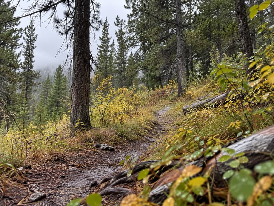
Bechler River Trail is a strenuous point-to-point backpacking route from Bechler Ranger Station Trailhead to Lone Star Geyser. The NPS describes it as roughly 30 miles one way; the connected trail-survey line here measures about 28.7 miles and follows the Bechler River Cutoff from the ranger station into the river corridor. You go from forest and broad meadow to a waterfall-lined canyon, then toward Shoshone Lake and over Grants Pass before reaching the Firehole drainage. Allow about 20 hours of walking, generally spread over three to five days with an overnight itinerary. The remote waterfalls and thermal country reward a planned backpack; this is not a casual day walk.

The route ends at Lone Star Geyser, not at a road. The nearest vehicle access is the Lone Star Geyser Trailhead, about 2.4 miles farther along the separate trail. Arrange a shuttle between the ends and budget that extra walk if you are exiting there. Overnight hikers need a Yellowstone backcountry permit for their dates and assigned campsites; carry your own food and the equipment needed for a multi-day trip.

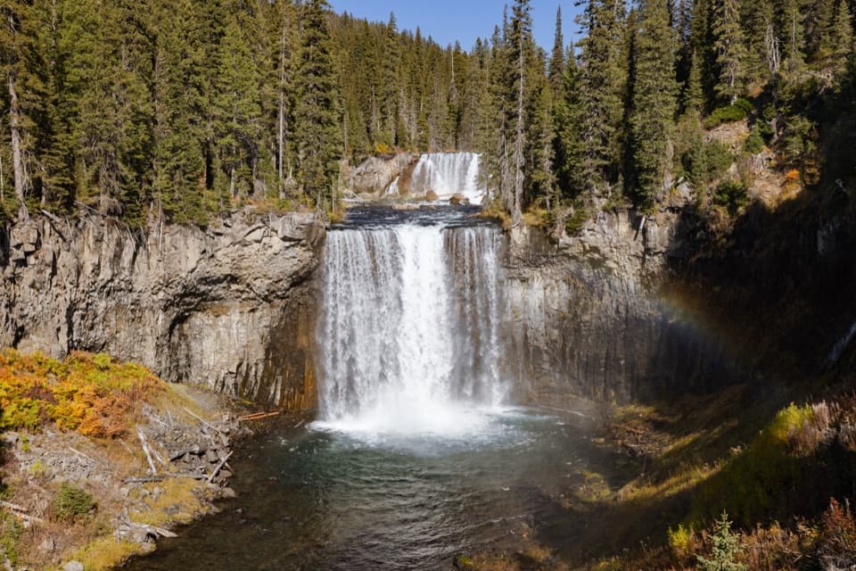
Meadows and river crossingsThe southern approach begins in forest and opens into the broad Bechler Meadows before the…

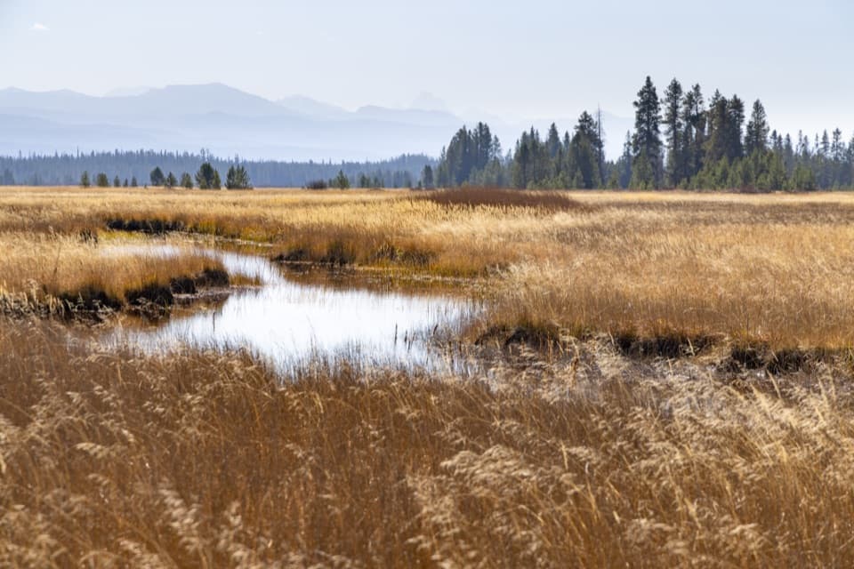
The southern approach begins in forest and opens into the broad Bechler Meadows before the trail enters the canyon. The corridor crosses the river and its tributaries several times. Expect unbridged fords and wet ground rather than a dry, continuous footpath. A pack makes a deep crossing much more consequential: water can be cold, swift and difficult to judge, especially during spring runoff. Scout each ford before stepping in, use the lower morning flows where possible, and wait or turn around if the crossing is unsafe. Check Yellowstone's backcountry conditions before leaving; there is no quick road exit once you are deep in the canyon.

Waterfalls in the canyonNorth of the meadows the route follows the Bechler River through a wooded canyon with a…

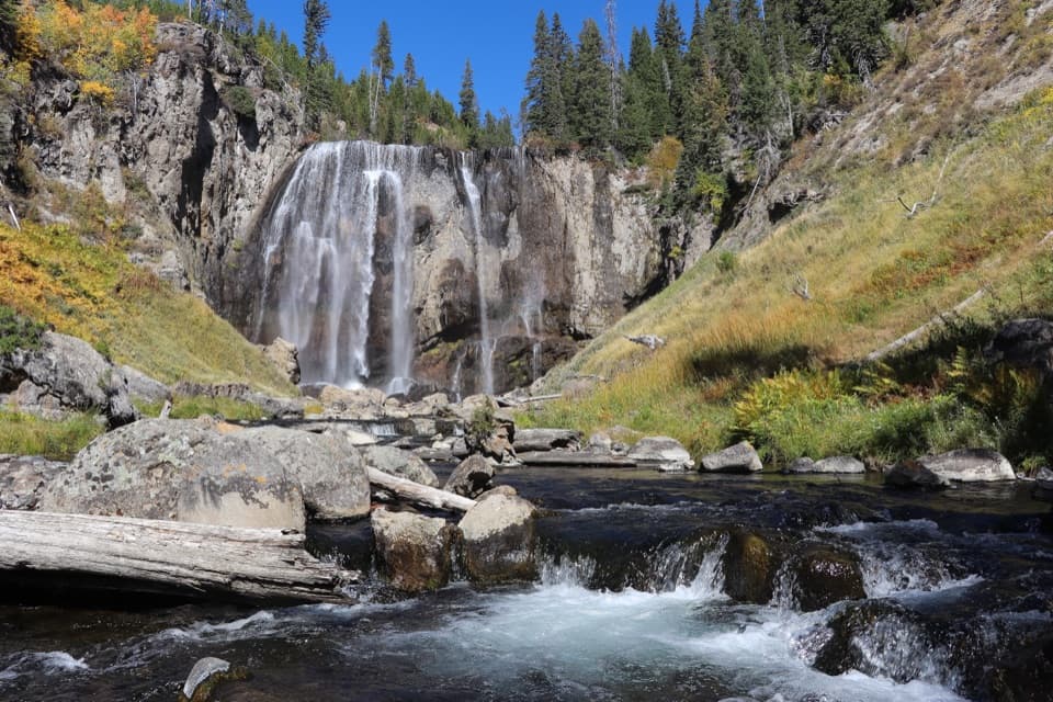
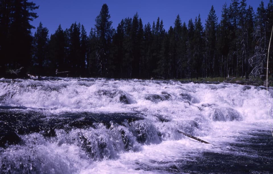
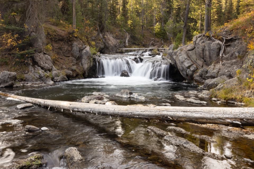
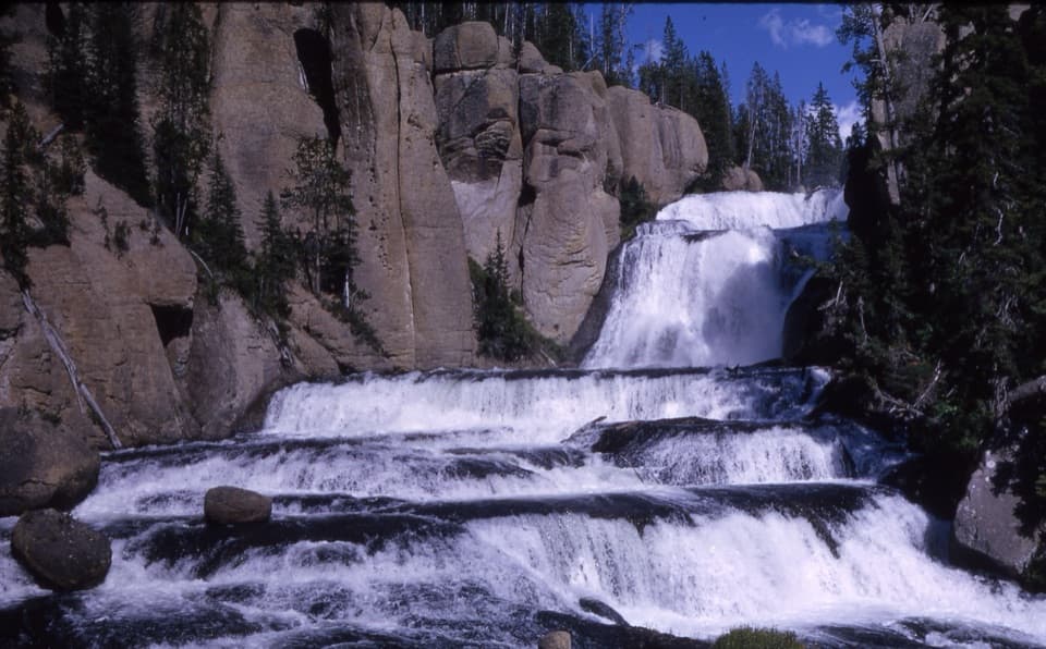
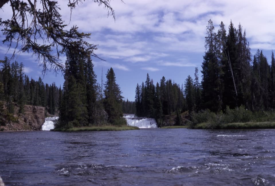
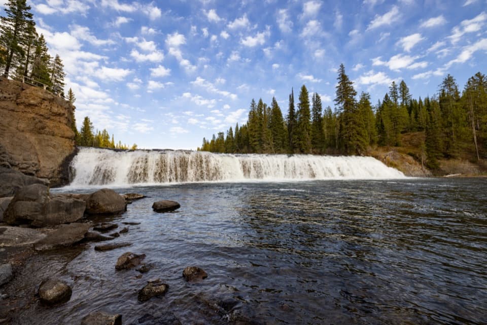
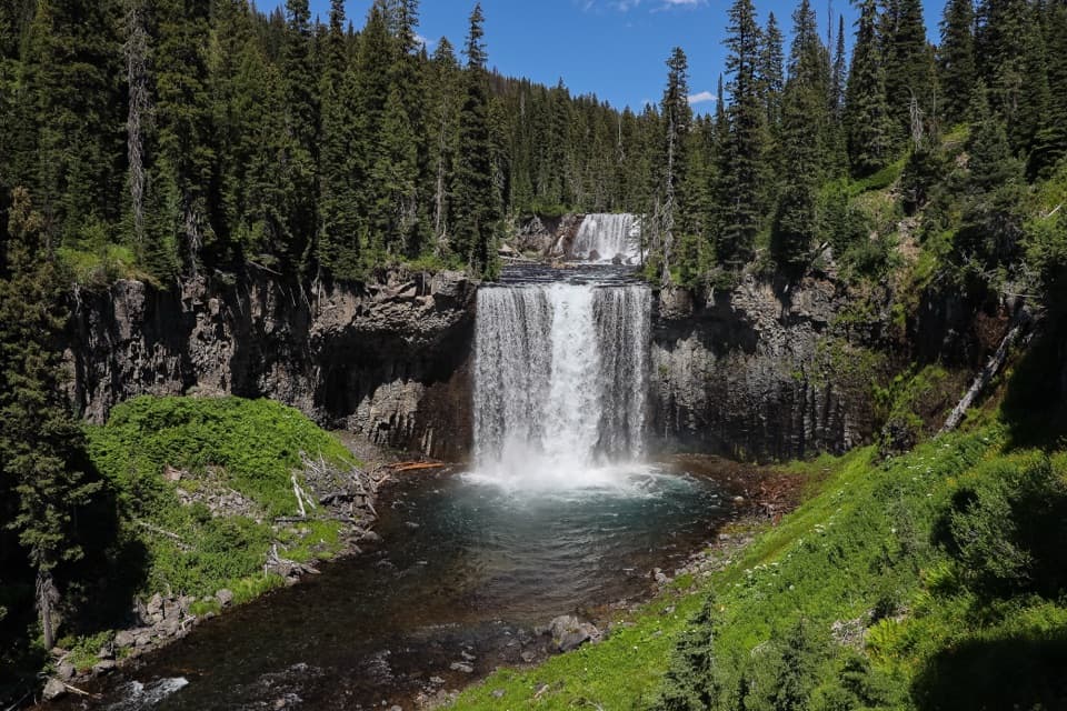
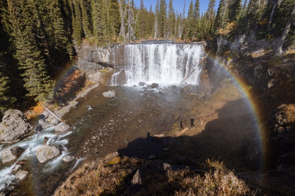
North of the meadows the route follows the Bechler River through a wooded canyon with a succession of named falls. Ouzel Falls is partly screened from the trail, while Colonnade and Iris Falls have more open views; Ragged Falls and Albright Falls add more rushing water farther along the corridor. The falling streams cut through dark rock and forest, and the river changes from quiet bends to louder cascades. At Colonnade, include both waterfall tiers and some of the canyon wall in a photo so the setting reads at phone size.

A thermal side tripNear Three Rivers Junction, the Ferris, Gregg and Phillips Forks meet the Bechler River.

Near Three Rivers Junction, the Ferris, Gregg and Phillips Forks meet the Bechler River. A short side path leads east toward Mr. Bubbles and other hydrothermal features; that detour is not part of the mapped trail distance. Stay on established paths around thermal ground. Yellowstone prohibits soaking in water entirely of thermal origin, and hot water can be dangerous even where the surrounding stream looks calm.

Shoshone country to Lone StarThe route leaves the river canyon for forest and wet meadow around Shoshone Lake, then climbs…

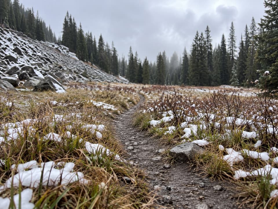
The route leaves the river canyon for forest and wet meadow around Shoshone Lake, then climbs over Grants Pass and descends toward the Firehole. Boardwalk sections cross soggy ground on the northern approach. Lone Star Geyser is the trail's finish and erupts at intervals of roughly three hours, though timing is not guaranteed. From there, continue the extra 2.4 miles to the road if that is where your ride is waiting.

Before you goPets are not allowed on Yellowstone trails or in the backcountry, apart from service animals.

Pets are not allowed on Yellowstone trails or in the backcountry, apart from service animals. Every overnight stay requires a backcountry permit and a designated campsite; do not plan to camp wherever you stop. The ranger-station trailhead has an information kiosk, but the route itself is remote, with no food services on the trail. Build your itinerary around the assigned camps, river levels and a point-to-point pickup rather than trying to cover the distance in one push.

Wildlife

Wildlife in Yellowstone

All Yellowstone wildlife maps

Sighting maps show where each species has been reported across Yellowstone. Wildlife moves, so no sighting is guaranteed.

Keep exploring

Near Bechler River Trail

See it all on the map

Trails that start nearby

Places near the trailhead

Parkwolf’s Yellowstone ranking

Top-rated trails in Yellowstone

All 167 trails
  1. 1Old Faithful to Morning Glory Pool TrailEasy · 2.7 mi
  2. 2Grand Prismatic Overlook TrailEasy · 1.6 mi
  3. 3Dunraven Pass–Mount Washburn TrailChallenging · 7 mi
  4. 4Midway Geyser Basin TrailEasy · 0.7 mi
  5. 5Brink of the Lower Falls TrailChallenging · 0.7 mi
  6. 6Fairy Falls TrailEasy · 4.5 mi

Take Parkwolf to Yellowstone.

The audio tour guide for the drive, plus offline maps, trails, and wildlife heatmaps for when the signal drops.

4.7 from 8,600+ ratings

Download Parkwolf on the App StoreGet Parkwolf on Google Play