Pros & cons
PROS
- Drive-up access with a very short walk to viewpoints
- Park’s widest waterfall (~250 ft) with big-water ambiance
- Usually uncrowded, with picnic tables and vault toilets
CONS
- Long, bumpy 14–20 mile gravel approach with no cell service
- Swift, cold water and hazardous river crossings demand caution
Overview
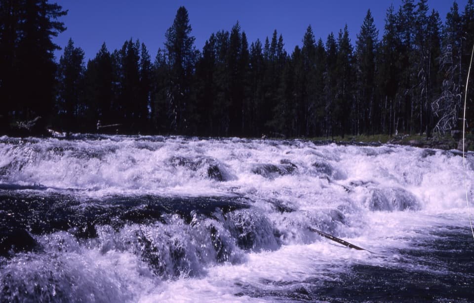
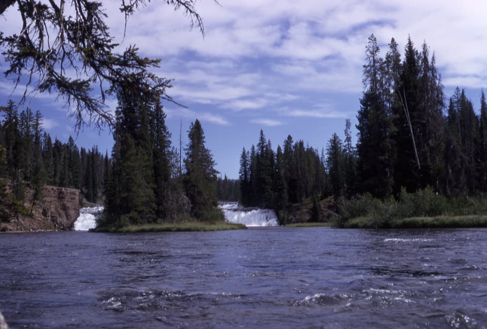
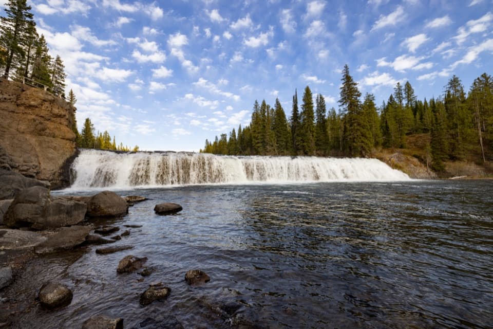
Cave Falls is Yellowstone’s broadest waterfall—a low, roaring curtain roughly 20 feet high and about 250 feet across on the Falls River. It feels wild and remote, far from the park’s main loops, and rewards the effort with solitude and that satisfying big-river sound. The “cave” that once gave the falls its name has collapsed, but the namesake cascade remains a quiet gem of the park’s southwest Bechler region.
Getting There
Access is from Idaho, not from Yellowstone’s main road system. Expect 14–20 miles of rough gravel/dirt road near the end—generally passable in summer for 2WD when conditions are good, but slow going. Cell service typically drops out once you’re in the mountains, so plan logistics and navigation ahead.
What You’ll See
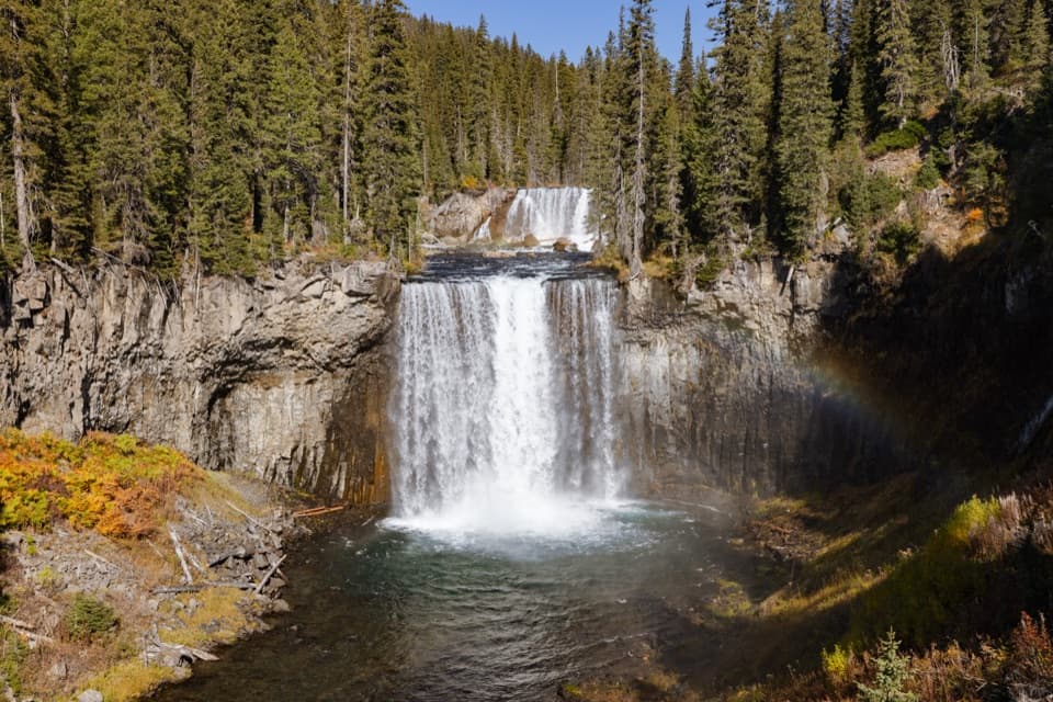
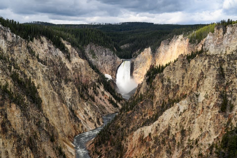
This is a drive-up waterfall with a short walk to viewpoints at river level and above. The Falls River spreads over a broad volcanic ledge, creating that unusually wide sheet of water. It’s a peaceful place to linger, listen, and photograph without the crowds that swarm the park’s taller canyon falls.
Trails and Nearby Hikes
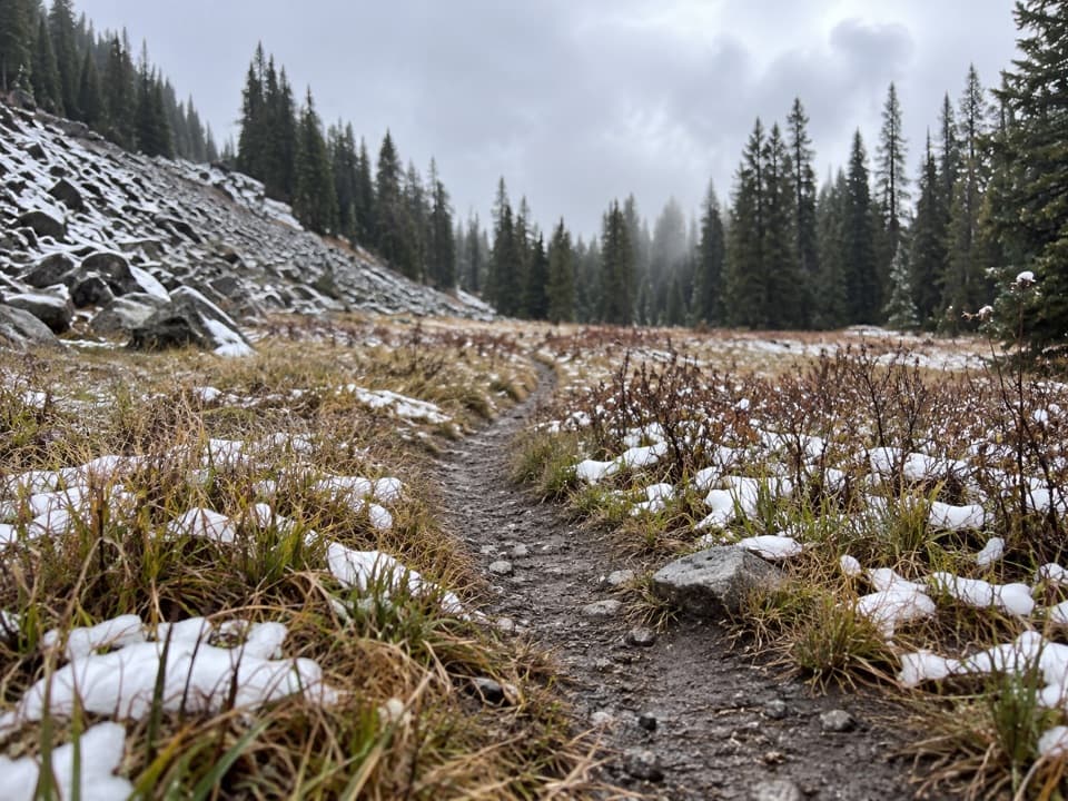
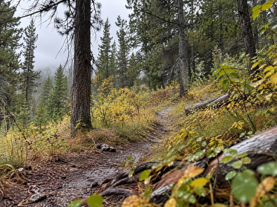
From Cave Falls, an easy riverside walk leads to Bechler Falls—about 2.6 miles round-trip with modest elevation change. The broader Bechler trail system also radiates from this corner, connecting to longer routes toward classic backcountry cascades. Note that a nearby Fall River ford is wide and dangerous and is not recommended.
Amenities
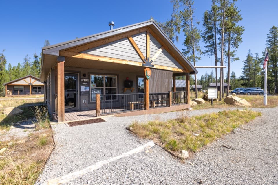
You’ll find a small parking area, vault toilets, and a handful of picnic tables right by the falls. There’s no running water at the picnic area; potable water is available seasonally via a yard hydrant at the nearby Cave Falls Campground. No overnight camping in the picnic area, and use only provided fire grates if present.
Activities
Anglers appreciate the cool, clear Falls River for approachable trout fishing. Some visitors wade along calmer margins, but the water is cold and swift—use caution at all times. This spot also serves as a practical trailhead for day hikers and backpackers exploring the Bechler “Cascade Corner.”
Wildlife & Safety
This is true backcountry habitat. Bears are possible along the road and trails; carry bear spray, hike in groups, and make noise. According to the National Park Service, park waters are swift and cold, river crossings are hazardous, and swimming is not recommended. Keep a safe distance from all wildlife and secure food at all times.
Best Time to Visit
Late summer into fall is the sweet spot for the Bechler region; earlier in the season trails can stay wet into September. Even in peak season, Cave Falls is typically quiet. Plan extra travel time for the gravel approach and enjoy a picnic before or after the easy walk to Bechler Falls.
Where it is
44.1440, -110.9971Tips for Cave Falls
- 01Reach it from Ashton, Idaho, and budget extra time for the gravel road.
- 02Carry bear spray and hike in groups; this is prime bear habitat.
- 03Pack bug spray—mosquitoes can be heavy along the river.
- 04Bring your own drinking water; there’s no running water at the picnic area.
- 05Pair a picnic with the easy walk to Bechler Falls (~2.6 miles round-trip).
Amenities
Near Cave Falls
All places →All trails →
0 mi awayCave Falls Picnic AreaQuiet riverside picnic beside Yellowstone’s widest waterfallPicnic Table · Restroom
0.7 mi awayBechler FallsShort river walk to a pretty 15-foot cascade in Cascade CornerTrailhead · Parking
2.4 mi awayBoundary Creek TrailLong, mostly flat trek to Dunanda Falls with a warm soak bonusModerate · 17 mi · 6 hr
2.4 mi awayBechler RiverWaterfalls, hot soaks, and serious fords in Cascade CornerChallenging · 24.1 mi · 9.1 hr
2.4 mi awayBechler River TrailWaterfall-packed, ford-heavy traverse with a rare backcountry soak.Challenging · 30 mi · 72 hr
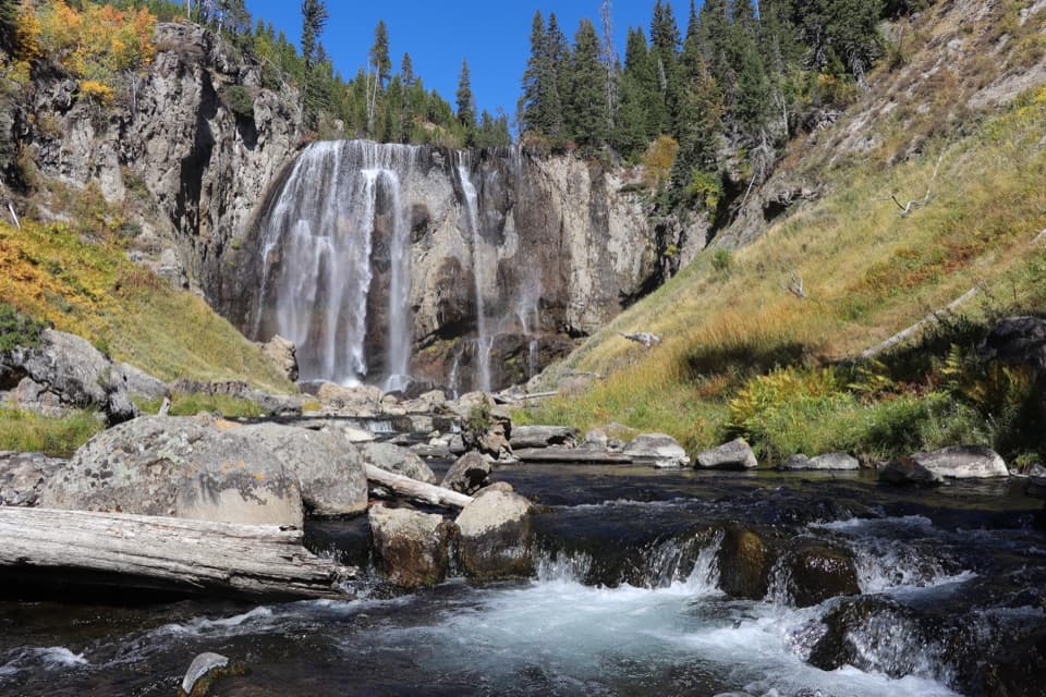
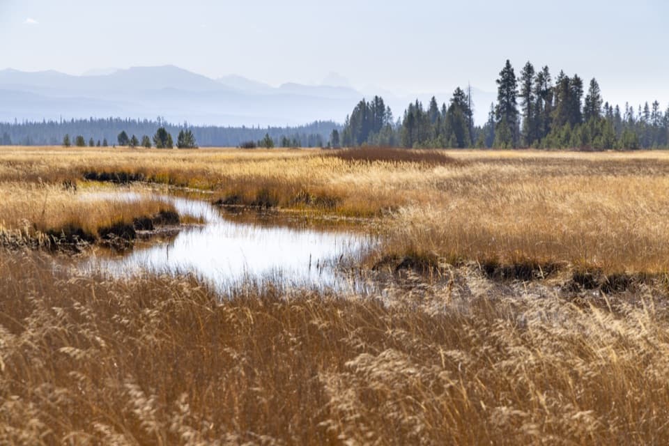
2.4 mi awayDunanda Falls via Bechler MeadowsBig-mile meadows hike to a 110 ft falls with warm creek poolsModerate · 16.8 mi · 7.5 hr
2.5 mi awayBechler Ranger StationRemote gateway to Cascade Corner’s waterfalls and wild backcountryRanger Station · Trailhead
2.5 mi awayMr. BubblesRemote hot spring where warm water mixes with Ferris ForkGeyser