Parking
From Ashton, follow Cave Falls Road and turn at the Bechler Ranger Station sign. The trailhead is between the station and the corral. The parking area size and facilities were not verified.
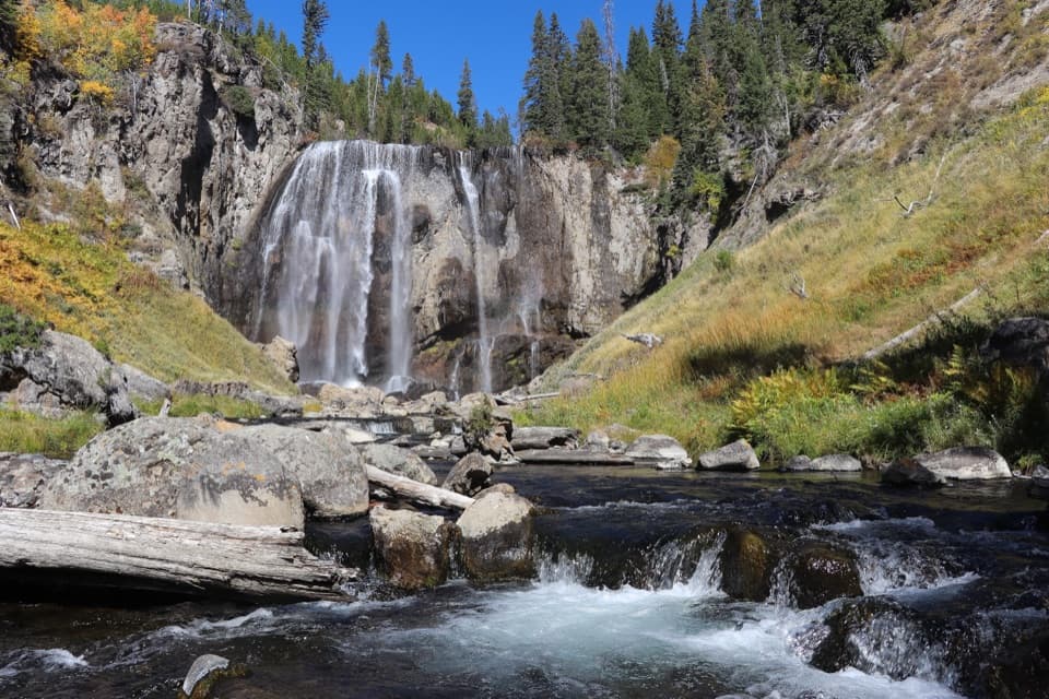
Yellowstone National Park, WY · MT · ID
A long, mostly level hike to a 110-foot waterfall.
Overview
Map & elevation
Plan your hike

The highest, rockiest slopes around here are a summer buffet for grizzly bears.
Yellowstone Tour Guide
Parkwolf is a GPS audio tour guide for Yellowstone National Park. As you drive, it chimes in with what’s ahead: hidden gems, upcoming stops, history, geology, and wildlife, right through your car’s speakers.
See the Yellowstone audio tourRecorded for this trailhead
Bechler Ranger Station and Backcountry Office“You're nearing Bechler Ranger Station, a useful first stop for exploring this remote corner of the park. The backcountry office has maps and ranger advice for hikes through the meadows and waterfall country.”
Plays as you drive up to this trailhead in the Parkwolf Yellowstone Tour Guide.
More stories near here in the app
“First time driving through a national park. We used the Yellowstone tour on grand loop Road and it’s just like having a tour guide in your car with you.”


Trail guide
Dunanda Falls Trail is a 16.9-mile round-trip out-and-back from Bechler Ranger Station through Bechler Meadows and up the Boundary Creek corridor to a 110-foot waterfall. The route gains about 550 feet, but the distance and several water crossings, not a steep climb, make it a full-day commitment. Allow around eight to nine hours, plus time at the falls. Go if the long walk is part of the appeal; choose a shorter Bechler hike if you mainly want a quick waterfall stop.
The trail starts between Bechler Ranger Station and the corral. From Ashton, follow Cave Falls Road and turn at the ranger-station sign. Begin on Bechler Meadows Trail; at the junction about 1.6 miles in, turn left onto Boundary Creek Trail. The first 3.9 miles are mostly level through lodgepole forest and small meadow openings before the Bartlett Slough crossing. After that, the route opens into meadows along the forest edge. Some stretches can be marshy, and shade comes and goes.
The short route crosses Bartlett Slough and then requires a ford of slow-moving Boundary Creek. Beyond it, the trail crosses an unnamed tributary three times: the first may be navigable over logs, and later crossings include a footbridge and another possible ford. Water levels change, so ask a ranger about crossings before setting out, especially before mid-July. The Bechler Meadows Cutoff avoids the Boundary Creek ford but adds about 0.6 miles each way and spends more time in open meadow, for an 18.1-mile round trip.
After the Boundary Creek ford, look south across the meadow for views of the Teton Range. The trail then follows the creek upstream through a riparian strip, slipping in and out of trees. Near the falls, the route climbs gently through open meadow and patches of lodgepole pine. The scenery changes in small stages rather than arriving all at once: forest first, then broad wet meadow, creekside shade, and finally a more open approach to the water.
Pass the Dunanda Falls spur and continue about 100 yards to Silver Scarf Falls, then return to the junction and take the spur toward Dunanda. Boundary Creek drops about 110 feet over a cliff in a broad curtain. The lower view is partly blocked, but the trail is described as reaching the top. A wide frame that keeps the creek and boulders in the foreground helps show the height of the falls. The stored trail line ends about 69 meters from the mapped waterfall point; the final short approach is not fully represented in the line.
Day hiking does not require a backcountry permit; overnight camping does. Pets are not allowed on Yellowstone hiking trails or in the backcountry. Visitors report warm pools below the falls, but I could not verify how the park classifies those exact pools. Yellowstone prohibits soaking in hot springs and touching thermal features or runoff, so do not treat reports of soaking as permission; ask a ranger before approaching the pools.
Wildlife
 713 sightingsGrizzly BearMost seen around 6 AMSighting map
 743 sightingsWolfMost seen around 6 AMSighting map
 5,273 sightingsBisonMost seen around 7 AMSighting map
 3,258 sightingsElkMost seen around 7 PMSighting map
 397 sightingsMooseMost seen around 7 PMSighting map
 1,494 sightingsBlack BearMost seen around 7 PMSighting map
Sighting maps show where each species has been reported across Yellowstone. Wildlife moves, so no sighting is guaranteed.
Keep exploring
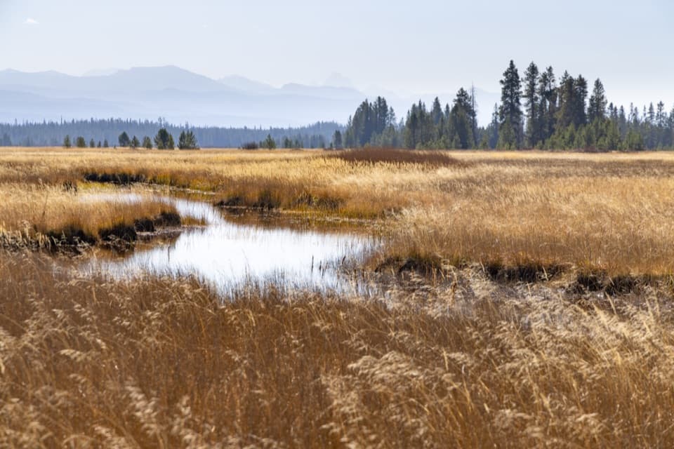 ModerateBechler Meadows Trail10.6 mi · 6 hr · At the trailheadA creek crossing opens onto Tetons views and wildflower meadows.
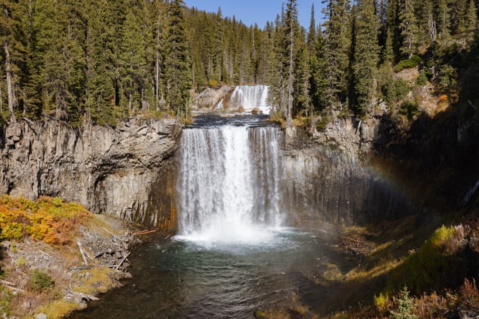 ChallengingBechler River Trail30 mi · 20 hr · At the trailheadA remote river traverse threads meadows, waterfalls, and thermal ground.ChallengingColonnade Falls Trail18 mi · 9 hr · At the trailheadA long, nearly level route to a two-tier backcountry waterfall.
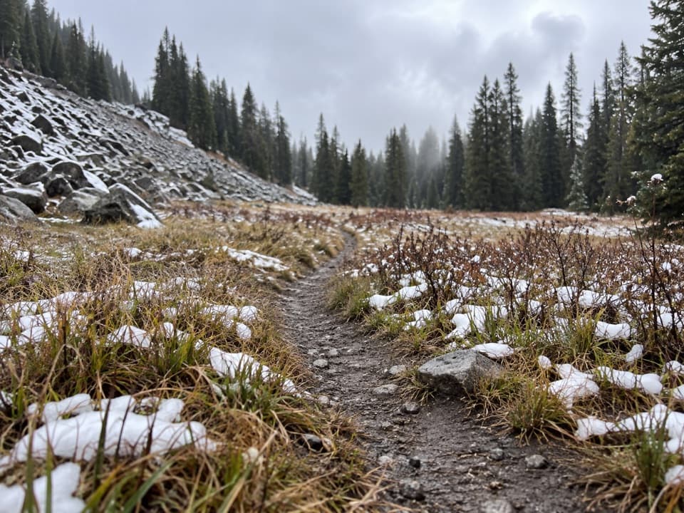 ModerateBoundary Creek Trail17.2 mi · 10 hr · At the trailheadA remote crossing through open meadows and several waterfalls.
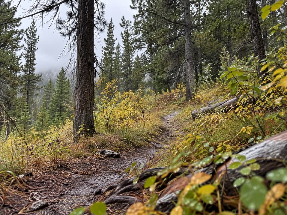 ModerateRobinson Creek Trail9.1 mi · 4.5 hr · At the trailheadA Bechler backcountry route with Robinson Lake as a shorter turnaround.
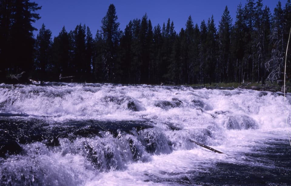 EasyBechler Falls Trail2.6 mi · 1.3 hr · 2.4 mi awayA forested river walk threads cascades to a low waterfall.
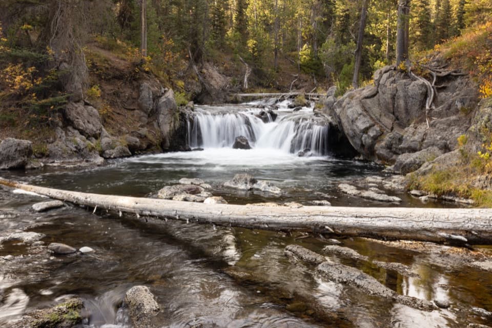 EasyNorth Fork Trail to Scout Pool0.6 mi · 30 min · 8.8 mi awayA brief Scout Pool detour on the long Union Falls hike.
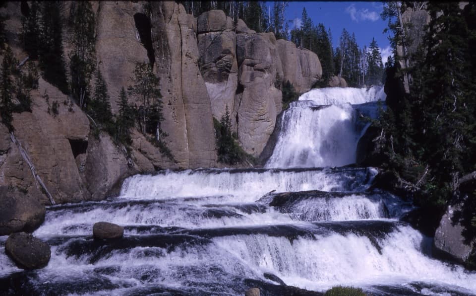 ModerateTerraced Falls Trail4 mi · 2.5 hr · 9.9 mi awaySix waterfall tiers make this quiet backcountry walk worthwhile.
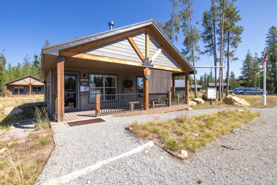 Ranger station · 0.1 mi awayBechler Backcountry OfficeGet Bechler route advice and backcountry permits here.
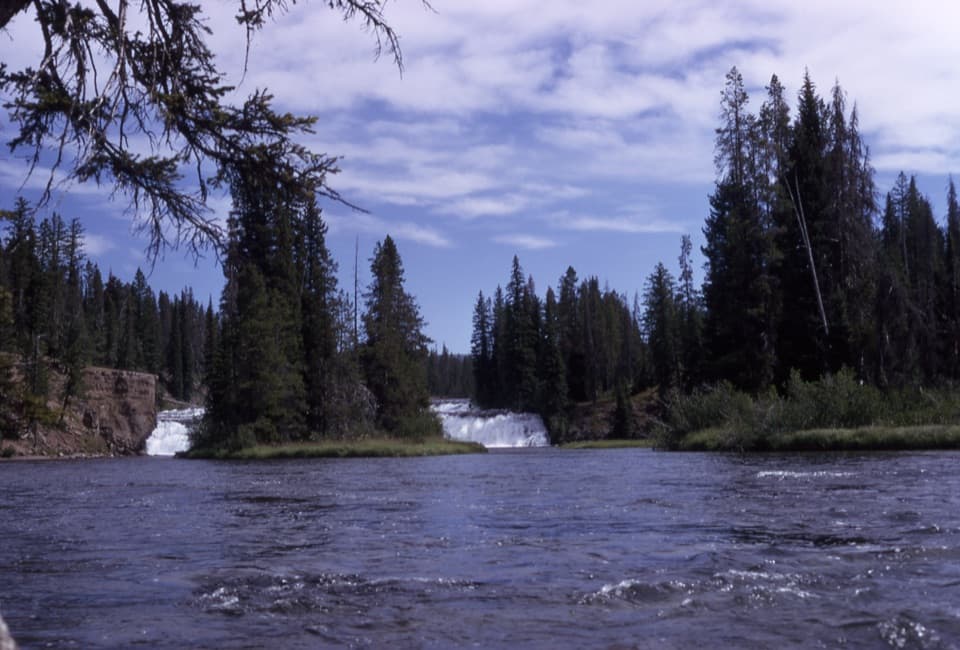 Sight · 1.7 mi awayBechler FallsA low cascade rewards the long, remote approach through river country.
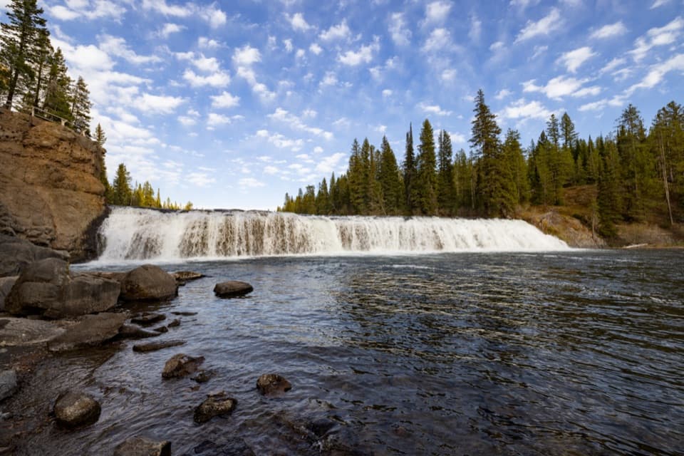 Sight · 2.4 mi awayCave FallsA broad cascade at the end of a long, rough gravel road.Sight · 6.9 mi awayDunanda FallsA substantial waterfall at the end of the 17-mile Bechler hike.
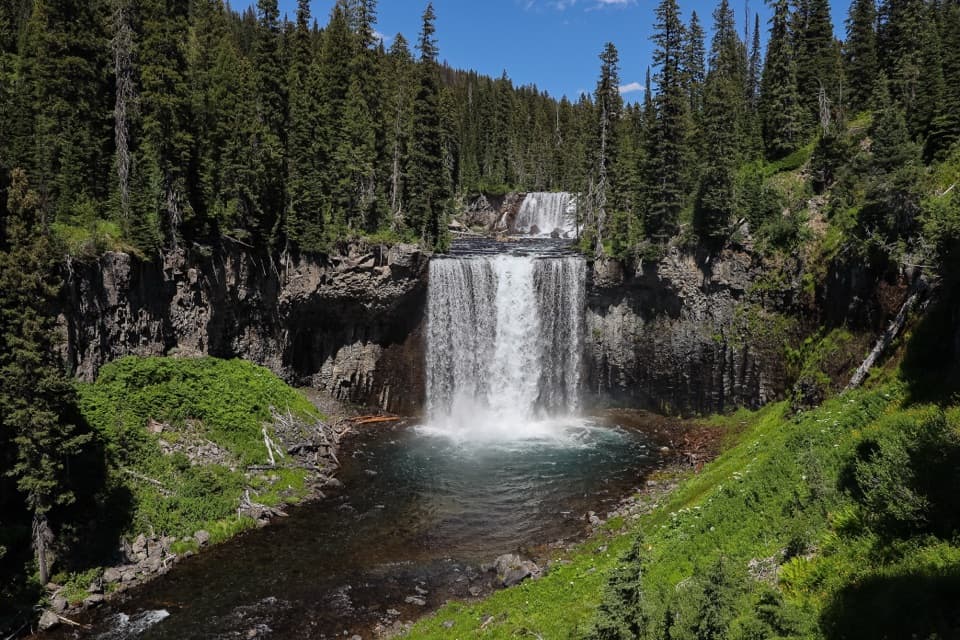 Sight · 7.8 mi awayColonnade FallsPaired falls reached by a long hike and a cold river ford.
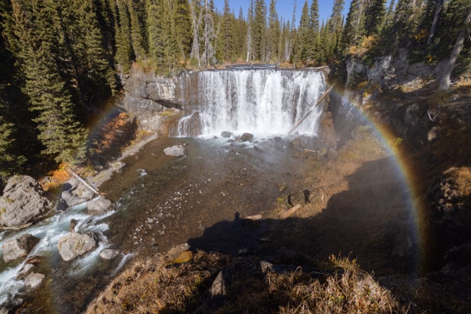 Sight · 8.1 mi awayIris FallsA 45-foot waterfall with rainbow-prone spray in the Bechler backcountry.
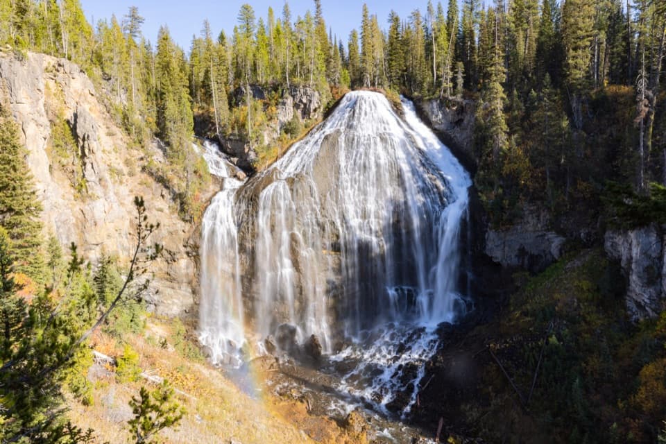 Sight · 9.2 mi awayUnion FallsTwo streams meet at the brink, then plunge about 250 feet.
Parkwolf’s Yellowstone ranking

The audio tour guide for the drive, plus offline maps, trails, and wildlife heatmaps for when the signal drops.





