Colonnade Falls Trail in Yellowstone National Park

Yellowstone National Park, WY · MT · ID

Colonnade Falls Trail

A long, nearly level route to a two-tier backcountry waterfall.

Photo: Wikimedia Commons
Length
18mi
Time
9hr
Elev. change
157ft
Difficulty
Challenging
  • No dogs
  • High point 6,542 ft
  • #61 of 167 in Yellowstone

Hear the audio tour

Bechler Ranger Station and Backcountry Office

Overview

About Colonnade Falls Trail

Why go

  • Two waterfall tiers and a choice to add Iris Falls.
  • Open meadow views before the river canyon.

Heads up

  • An all-day walk of about 18 miles round trip.
  • An unavoidable river ford with seasonally variable depth.

Map & elevation

The route

Loading the Yellowstone map
Full map
Elevation6,385–6,542 ft
TrailheadBechler Ranger Station Trailhead44.14996, -111.04530
Keep this map with you offline in the Parkwolf app

Plan your hike

Before you go

Parking

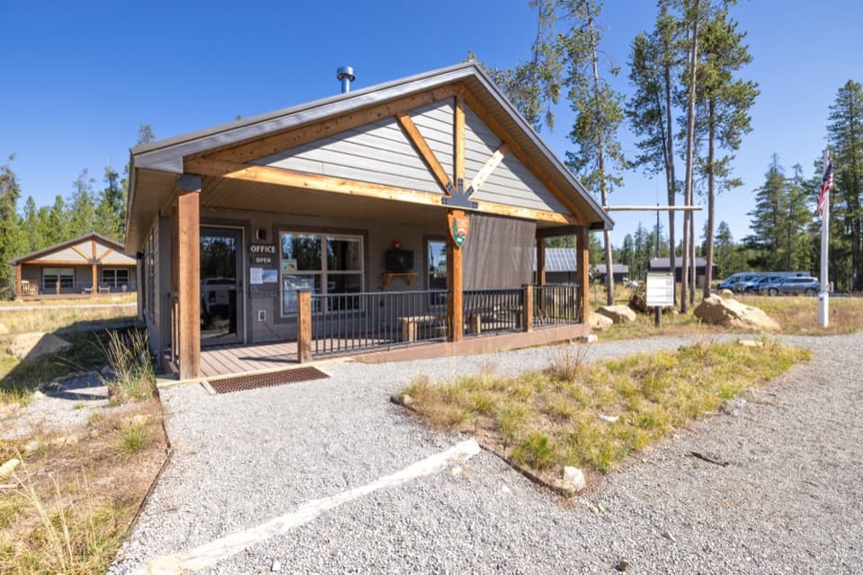
Reach Bechler Ranger Station on Cave Falls Road, just north of Yellowstone’s southern boundary. The trailhead is between the station and corral. NPS lists a trailhead and information kiosk; parking capacity, fees and other facilities were not documented.

Safety

The unavoidable Bechler River ford is hazardous and can reach thigh depth. Ask park rangers about the crossing before setting out, especially early in the season. Marshy meadows and small streams can make footing wet; Yellowstone recommends backcountry groups of three or more.

5 active Yellowstone alerts

  • ClosureBiscuit Basin closed after hydrothermal explosionBiscuit Basin’s parking lot, boardwalk, and Firehole River are closed to all travel.Official details
  • ClosureMost Yellowstone roads close to regular vehicles November 1Most Yellowstone roads and the West, South, and East entrances are scheduled to close to regular vehicles November 1, 2026, as the park prepares for winter operations.Official details
See all 5 alerts
A park ranger sits on a dash-mounted phone, talking, as Parkwolf’s Tour Guide plays “Army Cutworm Moths: A Grizzly Bear Buffet” on Grand Loop Road below Dunraven Pass in Yellowstone
Parkwolf Tour GuideThe highest, rockiest slopes around here are a summer buffet for grizzly bears.

Yellowstone Tour Guide

Hear Yellowstone as you drive it.

Parkwolf is a GPS audio tour guide for Yellowstone National Park. As you drive, it chimes in with what’s ahead: hidden gems, upcoming stops, history, geology, and wildlife, right through your car’s speakers.

See the Yellowstone audio tour

Recorded for this trailhead

Bechler Ranger Station and Backcountry Office
0:00 / 0:32
“You're nearing Bechler Ranger Station, a useful first stop for exploring this remote corner of the park. The backcountry office has maps and ranger advice for hikes through the meadows and waterfall country.”

Plays as you drive up to this trailhead in the Parkwolf Yellowstone Tour Guide.

More stories near here in the app

  • Cave Falls and Bechler Falls
  • 243 audio storiesacross Yellowstone’s roads, triggered by GPS as you drive
  • Wildlife heatmapsfor Wolf, Grizzly Bear, Bison, and 13 more
  • Works offlinemaps, 167 trails, 192 places, and audio download before you lose signal
  • CarPlay readysimple controls built for the drive
★★★★★
“First time driving through a national park. We used the Yellowstone tour on grand loop Road and it’s just like having a tour guide in your car with you.”
Jyg5001App Store review
Download Parkwolf on the App StoreGet Parkwolf on Google Play

4.7 from 8,600+ ratings

Trail guide

Hiking Colonnade Falls Trail

An all-day route to the fallsColonnade Falls Trail is an out-and-back into Yellowstone’s Bechler country: about 18 miles…

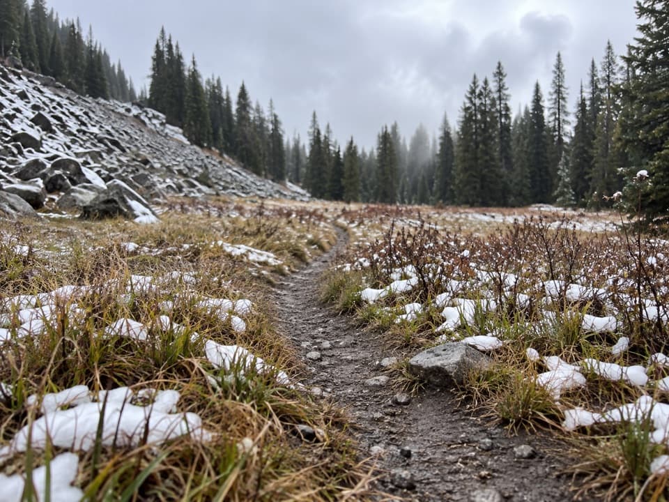
Colonnade Falls Trail is an out-and-back into Yellowstone’s Bechler country: about 18 miles round trip from Bechler Ranger Station to the falls overlook and back. The route crosses forest and open wet meadows before following the Bechler River into its canyon. The grade is mostly gentle, but the distance, wet ground and unavoidable river ford make this a hard day. Allow roughly nine hours, more if you linger at the falls.

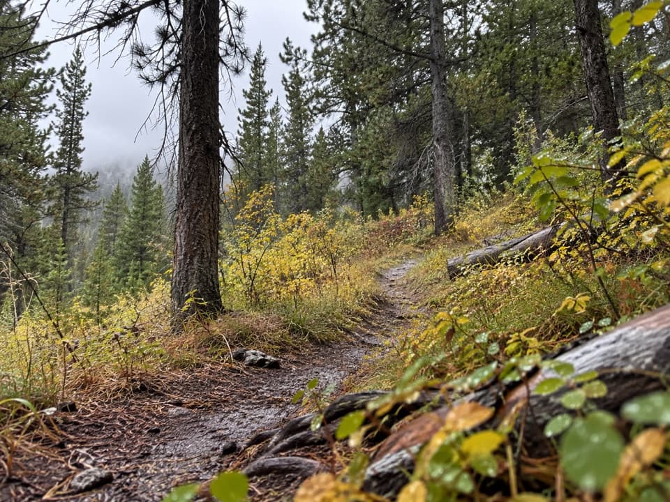
Forest, meadow and riverThe first few miles wind through lodgepole pines.

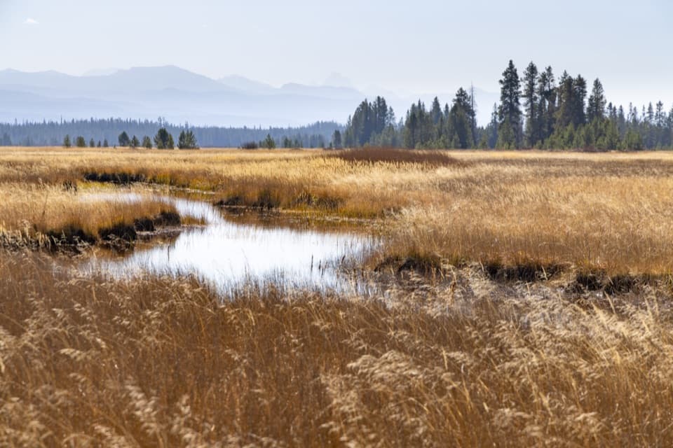
The first few miles wind through lodgepole pines. A suspension bridge carries you over Boundary Creek and into broad Bechler Meadows, where the Teton Range opens up to the south. The ground can stay marshy, and small streams may cross the route; late summer is generally the drier season. After the Bechler River ford, the trail enters Bechler Canyon and follows the river below a wall of trees.

The crossing is the cruxYou have to ford the Bechler River to reach the canyon.

You have to ford the Bechler River to reach the canyon. Its depth changes with the season and can reach thigh level. Yellowstone considers river crossings hazardous; check with a ranger before setting out, especially early in the season. The park recommends backcountry hikers travel in groups of three or more. Stay on established routes.

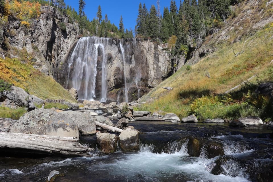
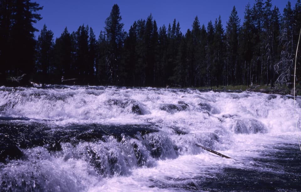
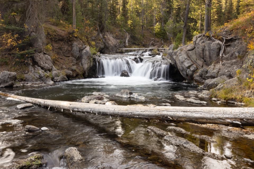
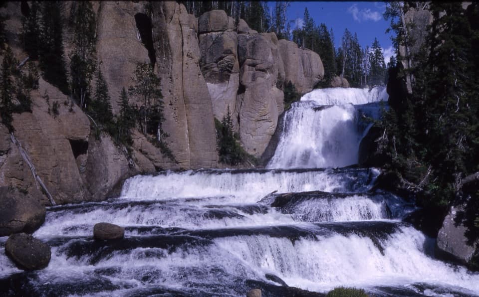
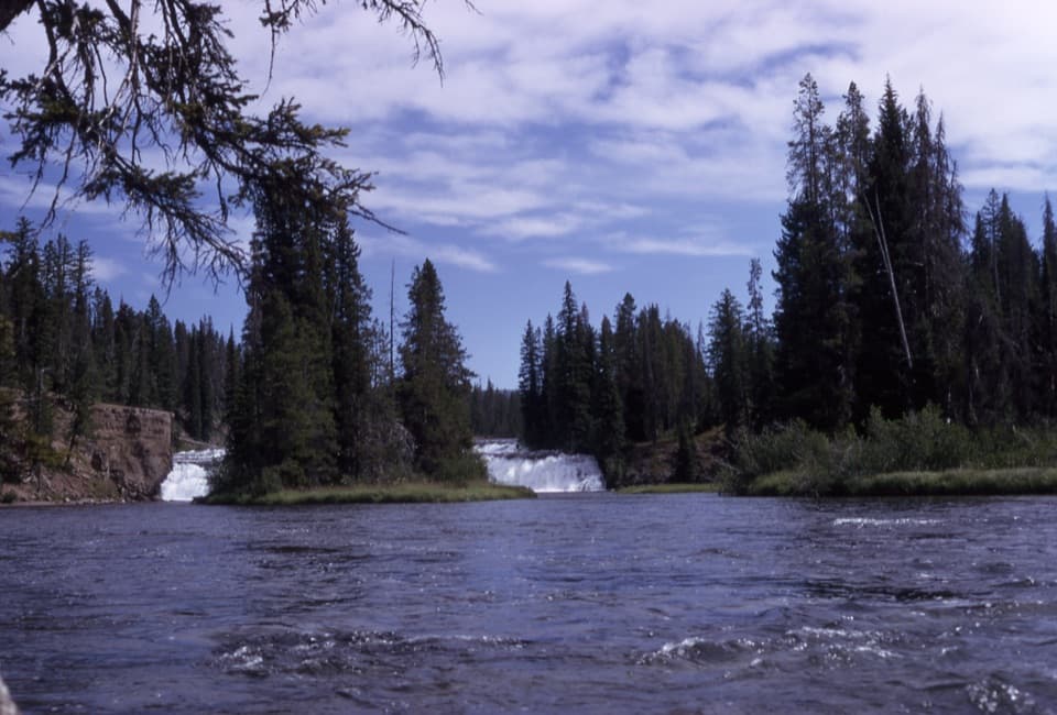
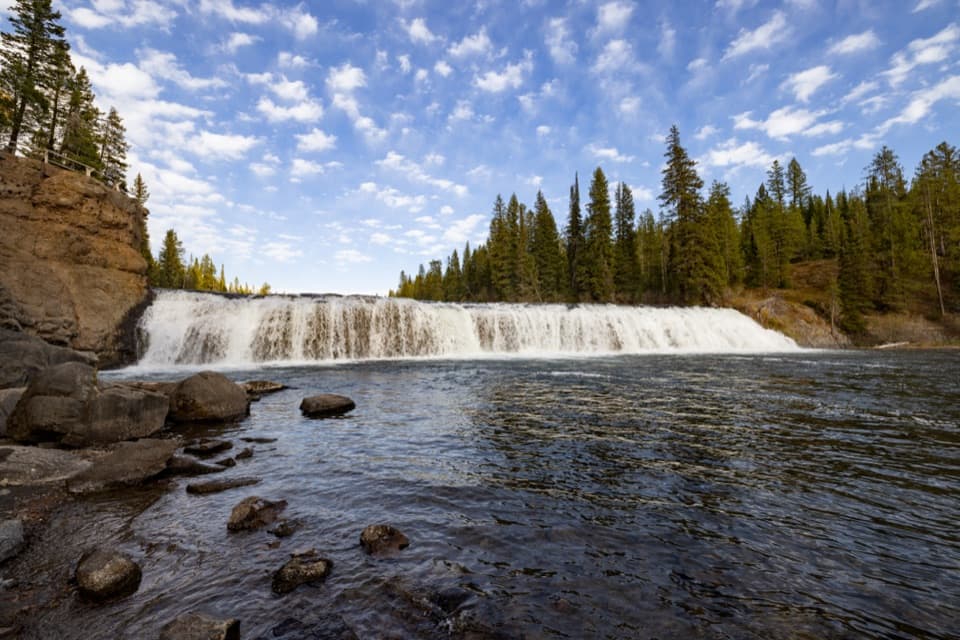
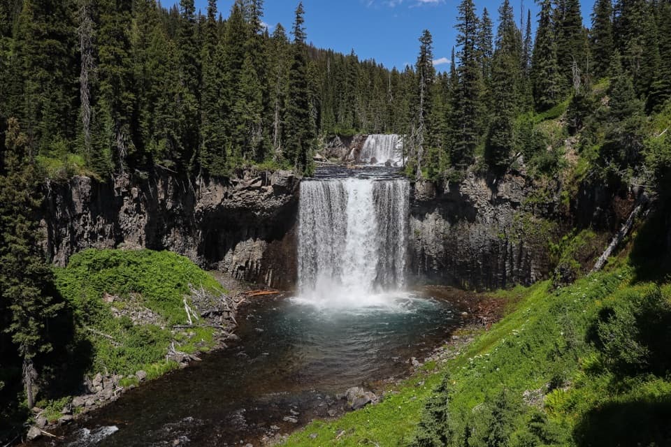
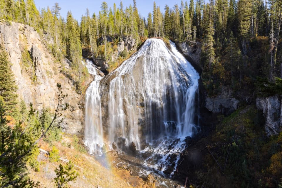
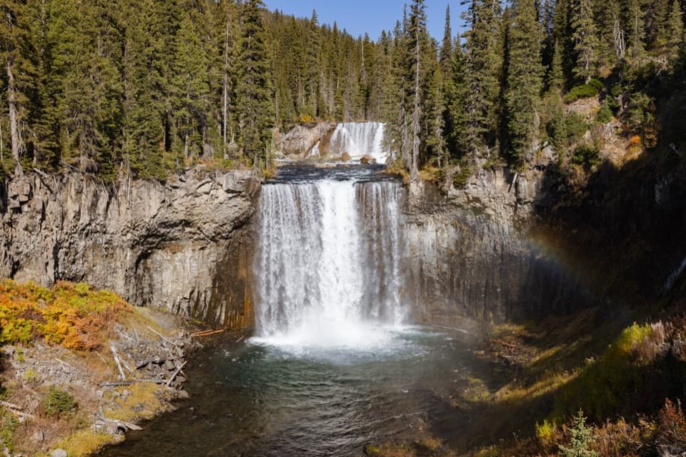
Waterfall countryAt Colonnade Falls, the river drops over two shelves, with a short spur to the overlook.

At Colonnade Falls, the river drops over two shelves, with a short spur to the overlook. The main trail continues upstream for other views. Across the canyon, watch for Ouzel Falls on the opposite ridge; pikas have been seen among the rock slides. Bechler is often called Cascade Corner for its many waterfalls. The overlook is the spot to frame both tiers together.

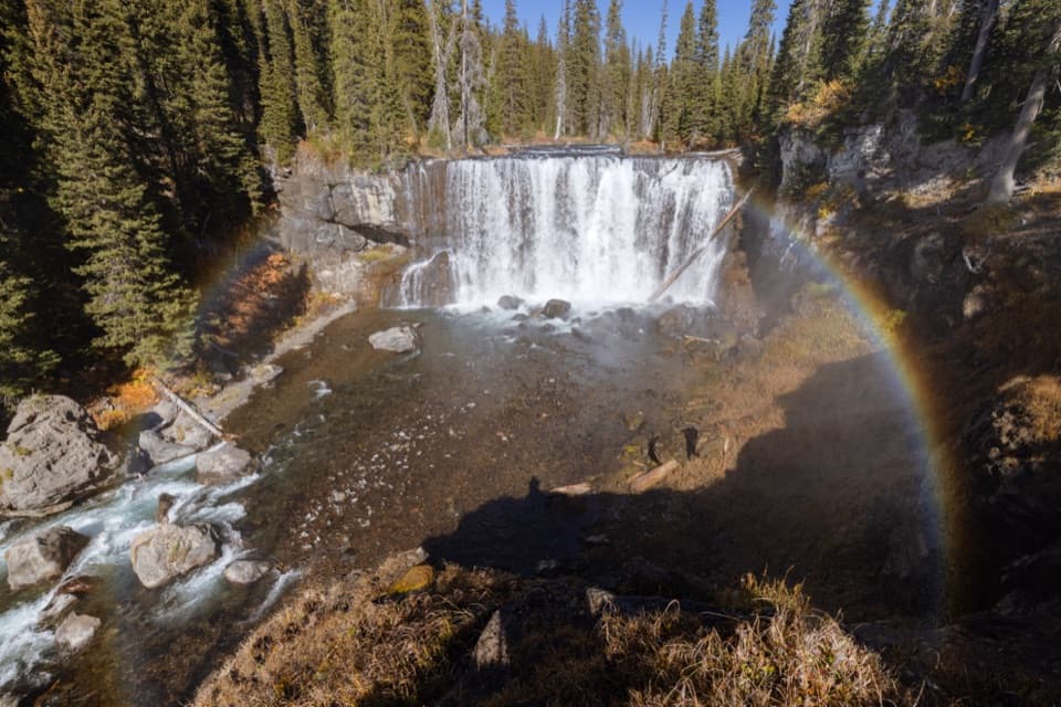
Add Iris Falls if you have the timeIris Falls is another 0.4 mile one way beyond Colonnade Falls.

Iris Falls is another 0.4 mile one way beyond Colonnade Falls. It is wider, with a peninsula viewpoint near the spray and a place to stop for lunch. The often-listed 18.8-mile outing includes this extension; this route ends at Colonnade Falls, so turn back at its overlook for the 18-mile version. Overnight camping requires a Yellowstone backcountry permit. Pets are not allowed on park trails.

Wildlife

Wildlife in Yellowstone

All Yellowstone wildlife maps

Sighting maps show where each species has been reported across Yellowstone. Wildlife moves, so no sighting is guaranteed.

Keep exploring

Near Colonnade Falls Trail

See it all on the map

Trails that start nearby

Places near the trailhead

Parkwolf’s Yellowstone ranking

Top-rated trails in Yellowstone

All 167 trails
  1. 1Old Faithful to Morning Glory Pool TrailEasy · 2.7 mi
  2. 2Grand Prismatic Overlook TrailEasy · 1.6 mi
  3. 3Dunraven Pass–Mount Washburn TrailChallenging · 7 mi
  4. 4Midway Geyser Basin TrailEasy · 0.7 mi
  5. 5Brink of the Lower Falls TrailChallenging · 0.7 mi
  6. 6Fairy Falls TrailEasy · 4.5 mi

Take Parkwolf to Yellowstone.

The audio tour guide for the drive, plus offline maps, trails, and wildlife heatmaps for when the signal drops.

4.7 from 8,600+ ratings

Download Parkwolf on the App StoreGet Parkwolf on Google Play