Tables and access
Seven picnic tables and one wheelchair-accessible vault toilet serve the site. A parking lot sits off the main road, and a short path at its north end descends toward the river.
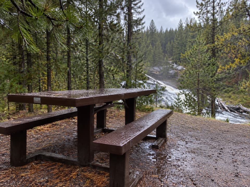
Picnic area · Yellowstone National Park
A riverside lunch stop below Gibbon Falls.
Overview
Map
Plan your stop

The highest, rockiest slopes around here are a summer buffet for grizzly bears.
Yellowstone Tour Guide
Parkwolf is a GPS audio tour guide for Yellowstone National Park. As you drive, it chimes in with what’s ahead: hidden gems, upcoming stops, history, geology, and wildlife, right through your car’s speakers.
See the Yellowstone audio tourRecorded for this area
Gibbon Falls“You're coming up on Gibbon Falls, an easy waterfall stop without a long hike. I'd give it ten or fifteen minutes to follow the short paved paths and watch the river spread across the dark, sloping rock.”
Plays on the road 0.4 mi from Gibbon Falls Picnic Area in the Parkwolf Yellowstone Tour Guide.
More stories near here in the app
“First time driving through a national park. We used the Yellowstone tour on grand loop Road and it’s just like having a tour guide in your car with you.”


Guide
Gibbon Falls Picnic Area is a small picnic area beside the Gibbon River, less than half a mile downstream from Gibbon Falls. It is separate from the falls' roadside viewpoint, and makes more sense as a meal stop than another falls overlook.
Some tables are close to a steep river embankment. Take care around the edge, especially with small children; this is a riverside lunch stop where the bank can drop away quickly.
Wildlife
 713 sightingsGrizzly BearMost seen around 6 AMSighting map
 743 sightingsWolfMost seen around 6 AMSighting map
 5,273 sightingsBisonMost seen around 7 AMSighting map
 3,258 sightingsElkMost seen around 7 PMSighting map
 397 sightingsMooseMost seen around 7 PMSighting map
 1,494 sightingsBlack BearMost seen around 7 PMSighting map
Sighting maps show where each species has been reported across Yellowstone. Wildlife moves, so no sighting is guaranteed.
Keep exploring
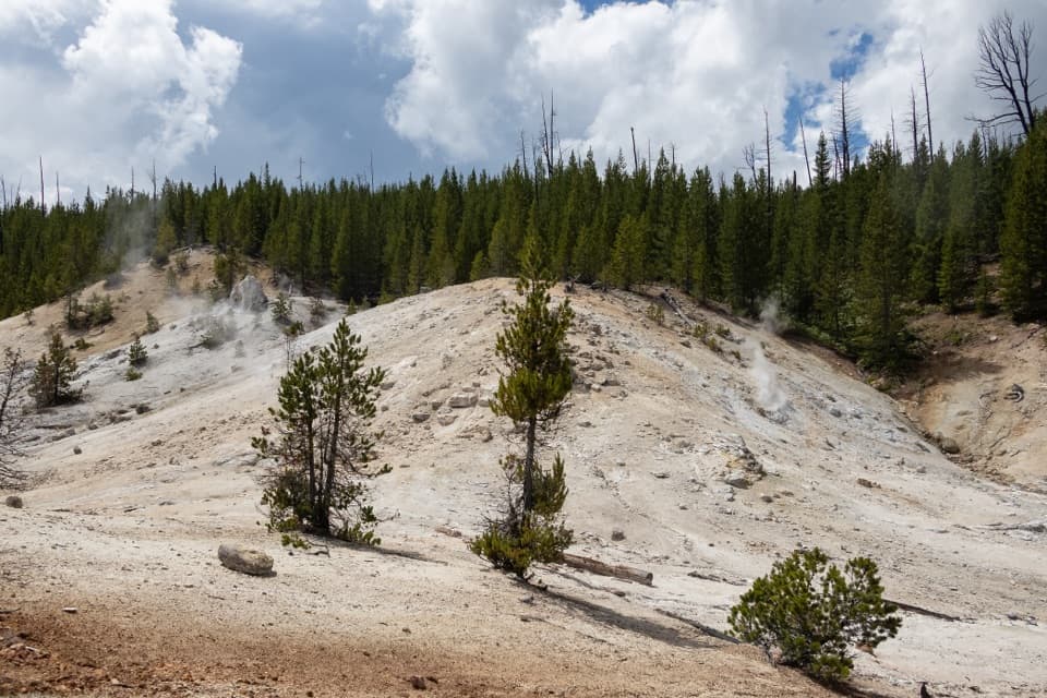 ModerateMonument Geyser Basin Trail2.4 mi · 2 hr · 2.8 mi awayA steep climb from the Gibbon River to a pale thermal basin.
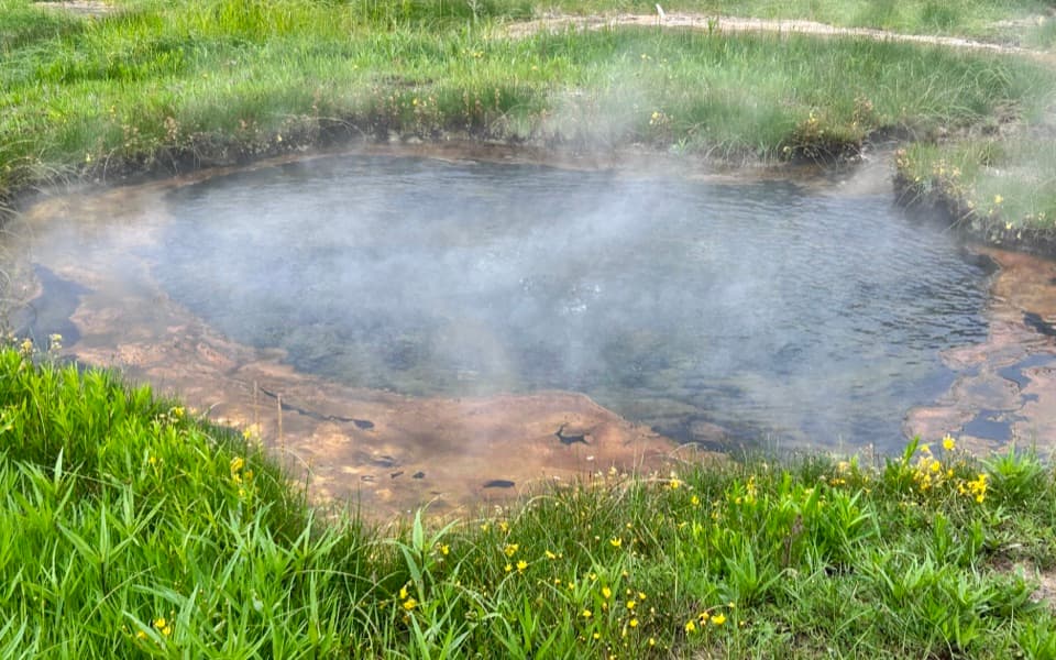 EasyTerrace Spring Trail0.2 mi · 15 min · 3.5 mi awayA short boardwalk loop to Yellowstone’s small thermal area.
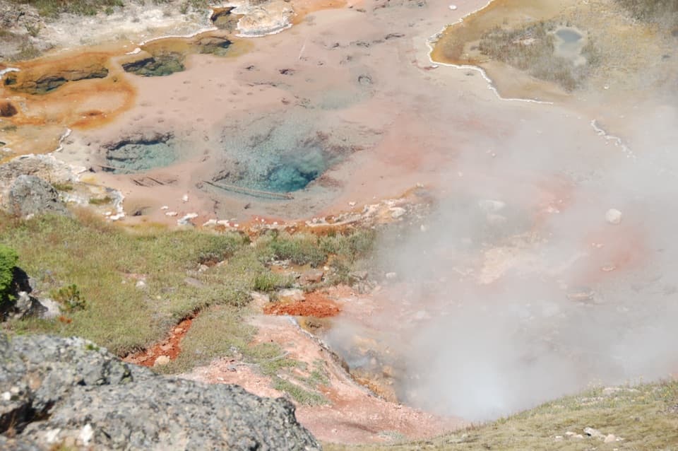 EasyArtists Paintpots Trail1 mi · 45 min · 3.7 mi awayA short loop past bubbling mud and a steep climb.
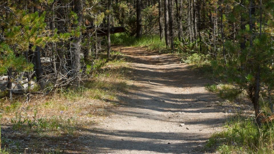 ChallengingPurple Mountain Trail6.6 mi · 4 hr · 4 mi awayEleven switchbacks climb to views over the Gibbon and Madison valleys.
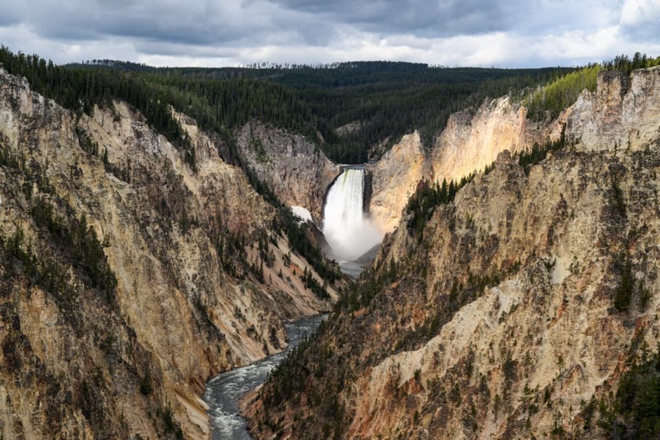
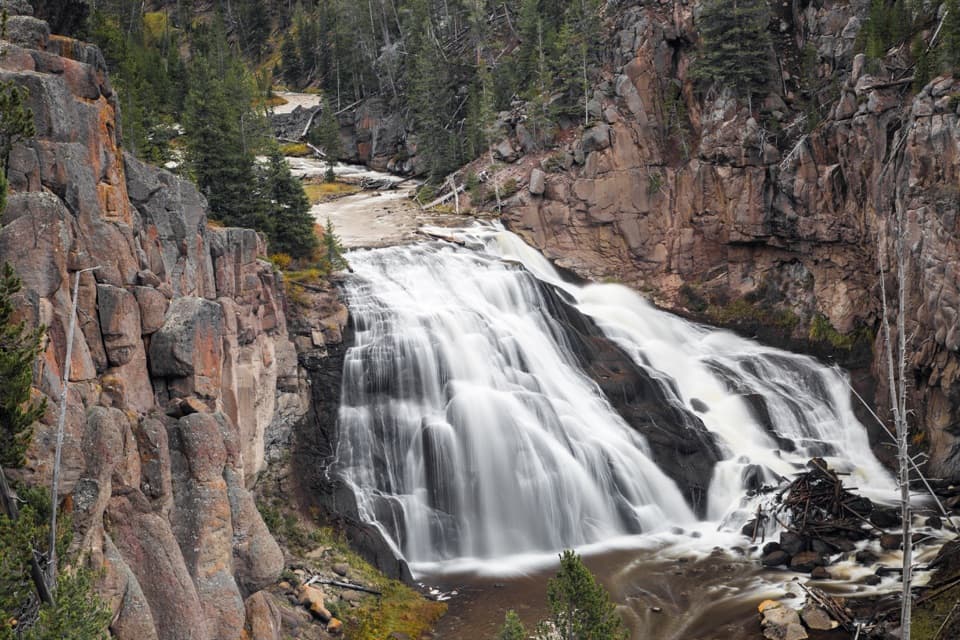 Sight · 0.4 mi awayGibbon FallsA quick roadside stop beside an 84-foot caldera-rim waterfall.
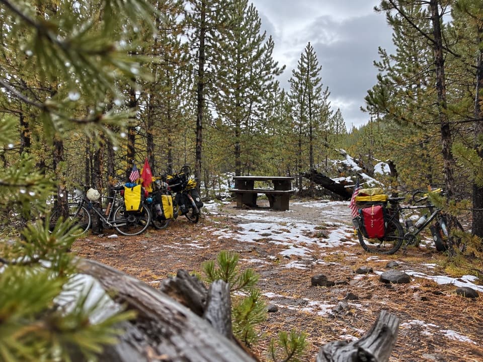 Picnic area · 0.8 mi awayIron Spring Picnic AreaFive tables make this a handy US-89 picnic break.
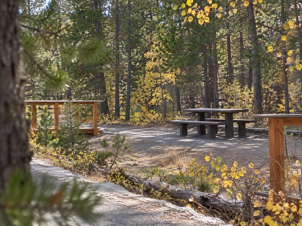 Picnic area · 1.4 mi awayCaldera Rim Picnic AreaA three-table picnic stop beside the Gibbon River.
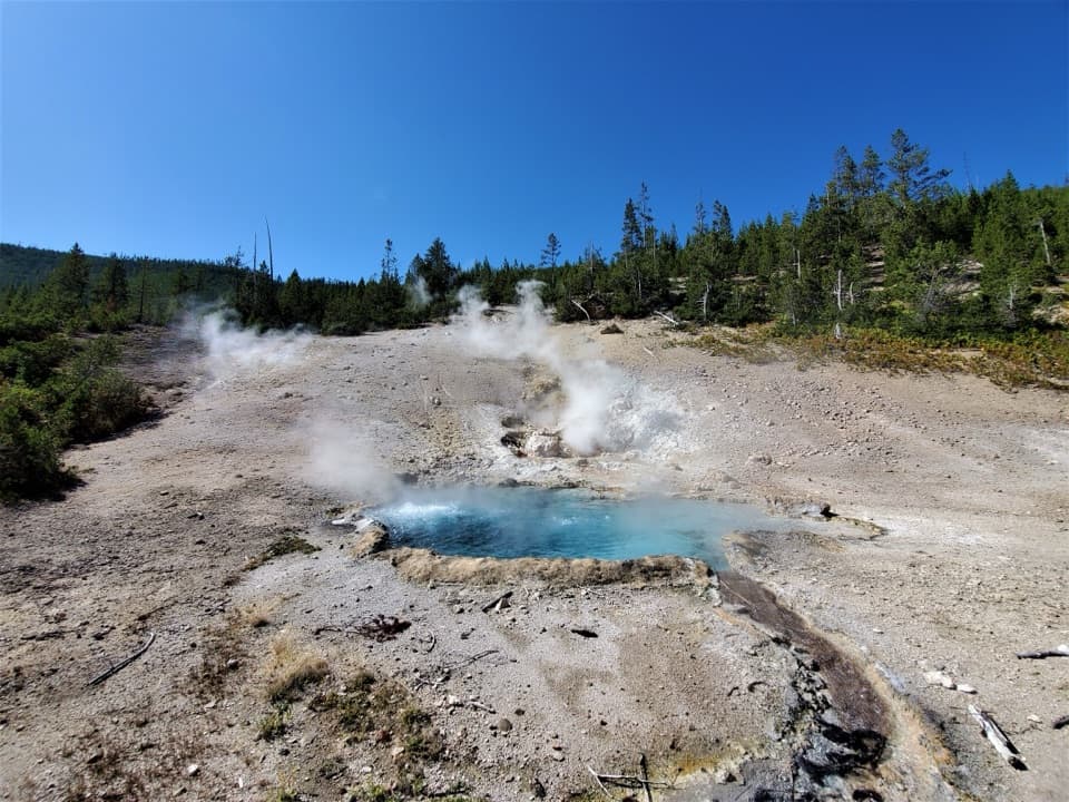 Sight · 2.5 mi awayBeryl SpringA bright blue roadside spring with a vent you can hear.Sight · 2.7 mi awayMonument Geyser BasinA steep hike to a hillside of pale, steaming silica spires.
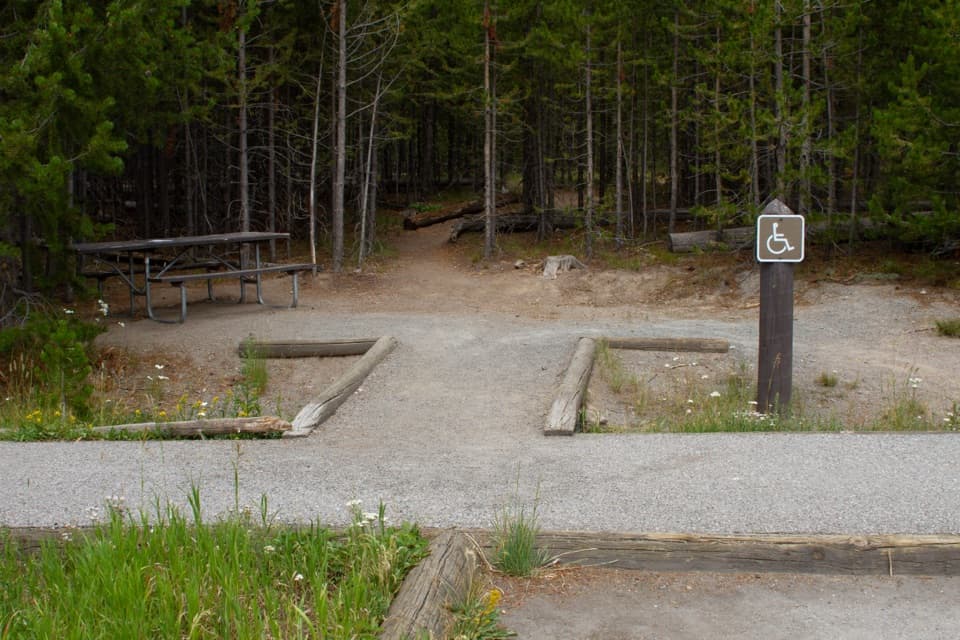 Picnic area · 2.7 mi awayTuff Cliff Picnic AreaA roadside picnic beneath a cliff of welded volcanic ash.
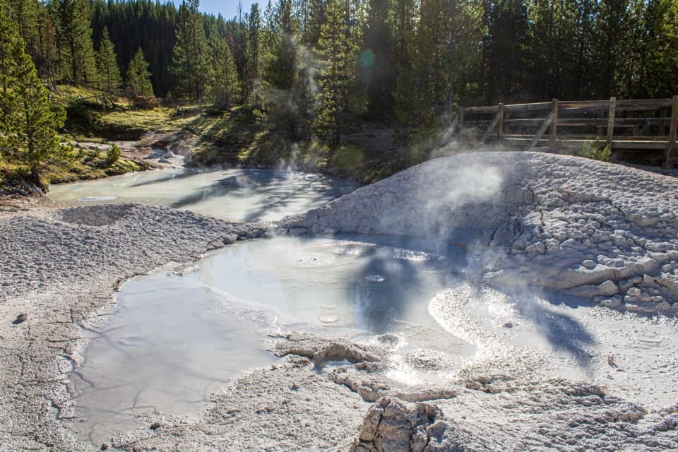 Sight · 3.4 mi awayArtists PaintpotsA short loop through bubbling mud, bright pools, and small geysers.
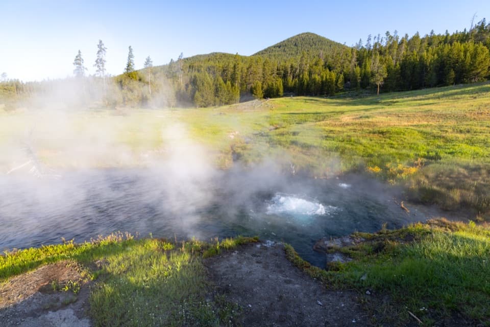 Sight · 3.6 mi awayTerrace SpringA short boardwalk ends at a spring bubbling with carbon dioxide.
Parkwolf’s Yellowstone ranking

The audio tour guide for the drive, plus offline maps, trails, and wildlife heatmaps for when the signal drops.