Parking
Use the small roadside turnout about a quarter mile north of Madison Junction, then cross Grand Loop Road to reach the trail entrance beside the information board.
Yellowstone National Park, WY · MT · ID
Eleven switchbacks climb to views over the Gibbon and Madison valleys.
Overview
Purple Mountain Trail is a strenuous out-and-back from a roadside turnout about a quarter mile north of Madison Junction. The mapped route runs about 3.35 miles uphill and back down the same corridor. The published figure is 6 miles round trip, while detailed tracks and the mapped line come out closer to 6.6; plan for the longer estimate. Allow about four hours for roughly 1,500 feet of climbing. This suits hikers who want a sustained climb and a wide view more than constant scenery; the lower trail stays under conifers for a long stretch.
 Parkwolf’s verdictIs this the hike for you?
Map & elevation
Plan your hike

The highest, rockiest slopes around here are a summer buffet for grizzly bears.
Yellowstone Tour Guide
Parkwolf is a GPS audio tour guide for Yellowstone National Park. As you drive, it chimes in with what’s ahead: hidden gems, upcoming stops, history, geology, and wildlife, right through your car’s speakers.
See the Yellowstone audio tourRecorded for this trailhead
Purple Mountain Trailhead“Purple Mountain Trailhead is ahead, with a strenuous hike to views over the Gibbon and Madison river valleys.”
Plays as you drive up to this trailhead in the Parkwolf Yellowstone Tour Guide.
More stories near here in the app
“First time driving through a national park. We used the Yellowstone tour on grand loop Road and it’s just like having a tour guide in your car with you.”


Trail guide
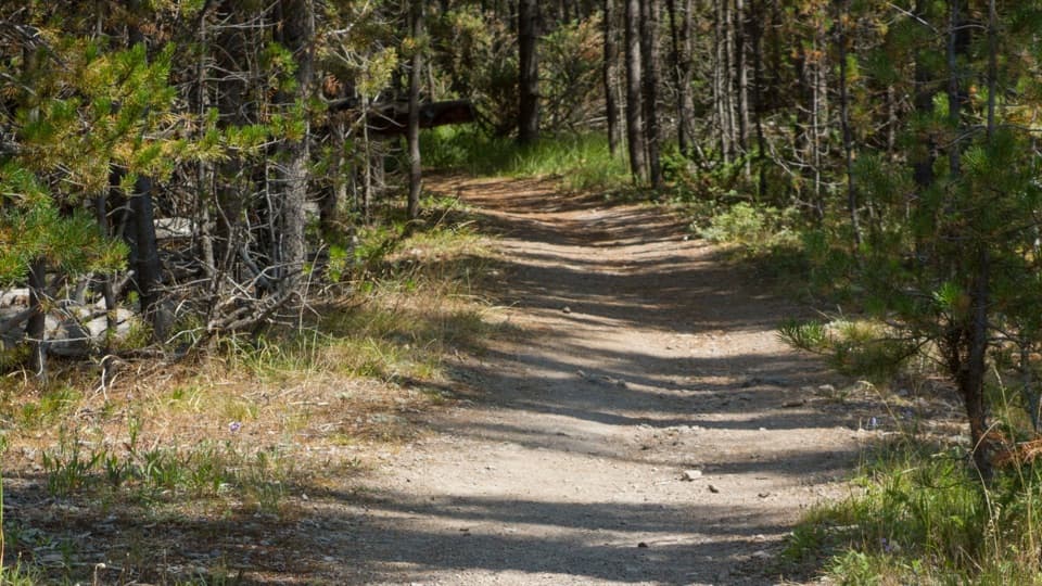
For about the first 1.2 miles, the trail climbs through forest with few views. Then it works up the mountain through roughly eleven switchbacks. Some lower turns are faint, and the climbing can feel repetitive; the upper turns are easier to follow, but the slope opens up and offers less shade.
Near the top, the trail reaches a plateau, turns south, and follows a flatter final stretch to an east-facing viewpoint. From there you look over the Gibbon and Madison river valleys; on a clear day the view may reach the geyser basins and the direction of Old Faithful. The viewpoint is around 8,375 feet. Purple Mountain's true summit is higher and off trail, so treat the viewpoint as the end of this hike and turn back there. For a photo, include some of the broad plateau in front of the river valleys to show the scale of the view.
Park in the small roadside turnout about a quarter mile north of Madison Junction, then cross Grand Loop Road to the trail entrance beside an information board. Take care at the crossing: drivers may not expect someone stepping across the road. The park describes the climb as strenuous, and pets are not allowed on the trail.
Wildlife
 713 sightingsGrizzly BearMost seen around 6 AMSighting map
 743 sightingsWolfMost seen around 6 AMSighting map
 5,273 sightingsBisonMost seen around 7 AMSighting map
 3,258 sightingsElkMost seen around 7 PMSighting map
 397 sightingsMooseMost seen around 7 PMSighting map
 1,494 sightingsBlack BearMost seen around 7 PMSighting map
Sighting maps show where each species has been reported across Yellowstone. Wildlife moves, so no sighting is guaranteed.
Keep exploring
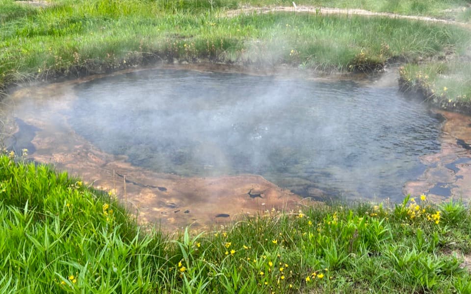 EasyTerrace Spring Trail0.2 mi · 15 min · 0.5 mi awayA short boardwalk loop to Yellowstone’s small thermal area.
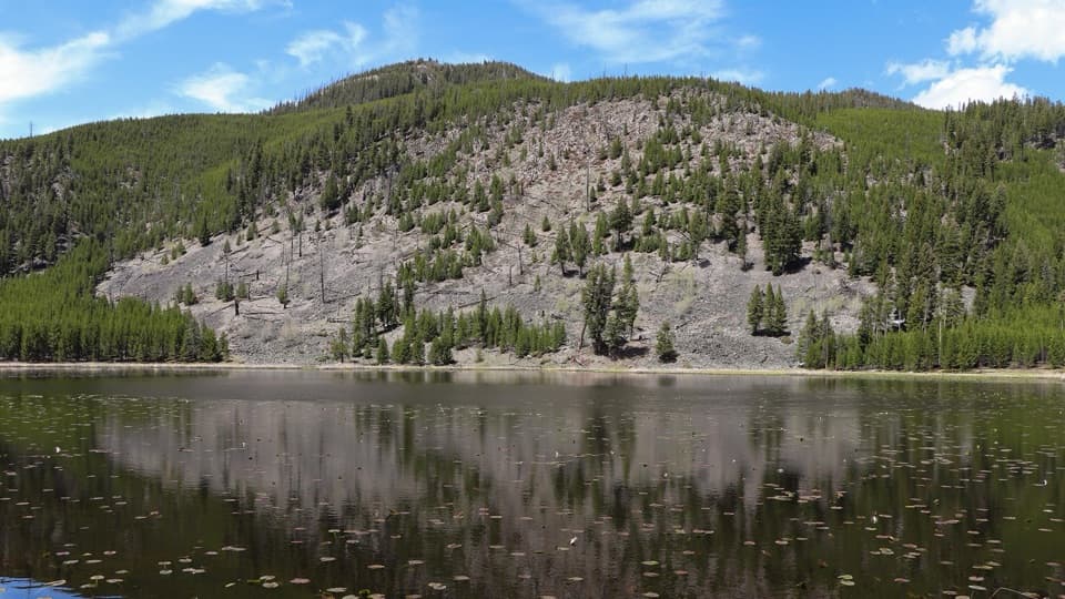 EasyHarlequin Lake Trail1 mi · 45 min · 1.7 mi awayA quick walk through young pines to a quiet lake.
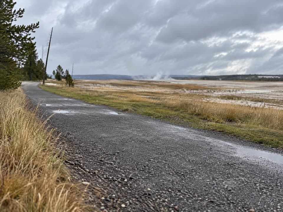 EasyFountain Freight Road Trail4 mi · 2.5 hr · 5.6 mi awayA level old-road walk past hot springs, river, meadows, and a lake.
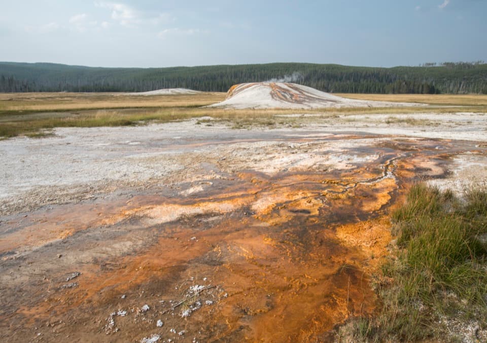 EasySentinel Meadows & Queen’s Laundry Trail3.8 mi · 3 hr · 5.9 mi awayA meadow walk to Queen’s Laundry and its 1881 bathhouse
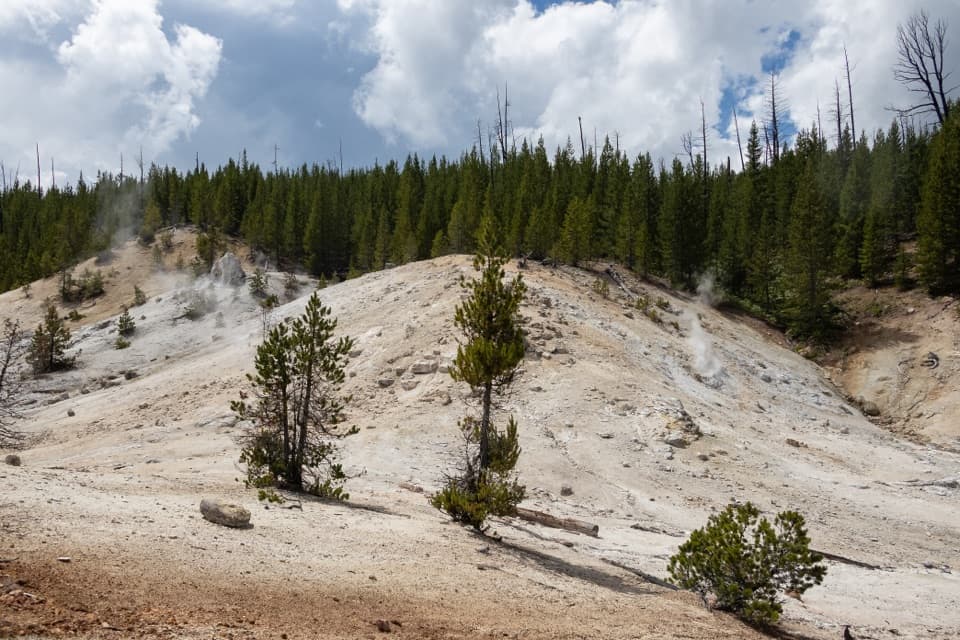 ModerateMonument Geyser Basin Trail2.4 mi · 2 hr · 6 mi awayA steep climb from the Gibbon River to a pale thermal basin.
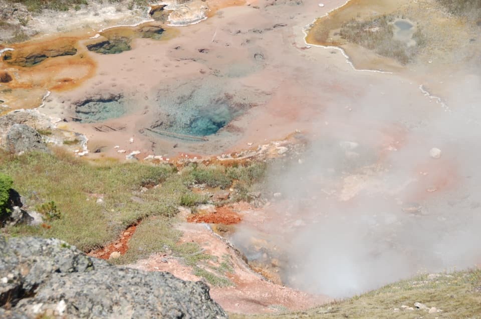 EasyArtists Paintpots Trail1 mi · 45 min · 6.6 mi awayA short loop past bubbling mud and a steep climb.
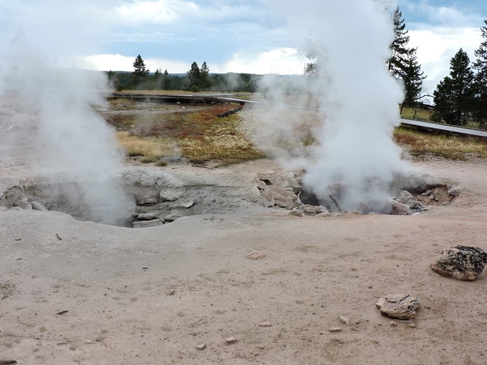 EasyFountain Paint Pot Trail0.6 mi · 38 min · 7.2 mi awayMud bubbles, geysers and steam, packed into one short loop.
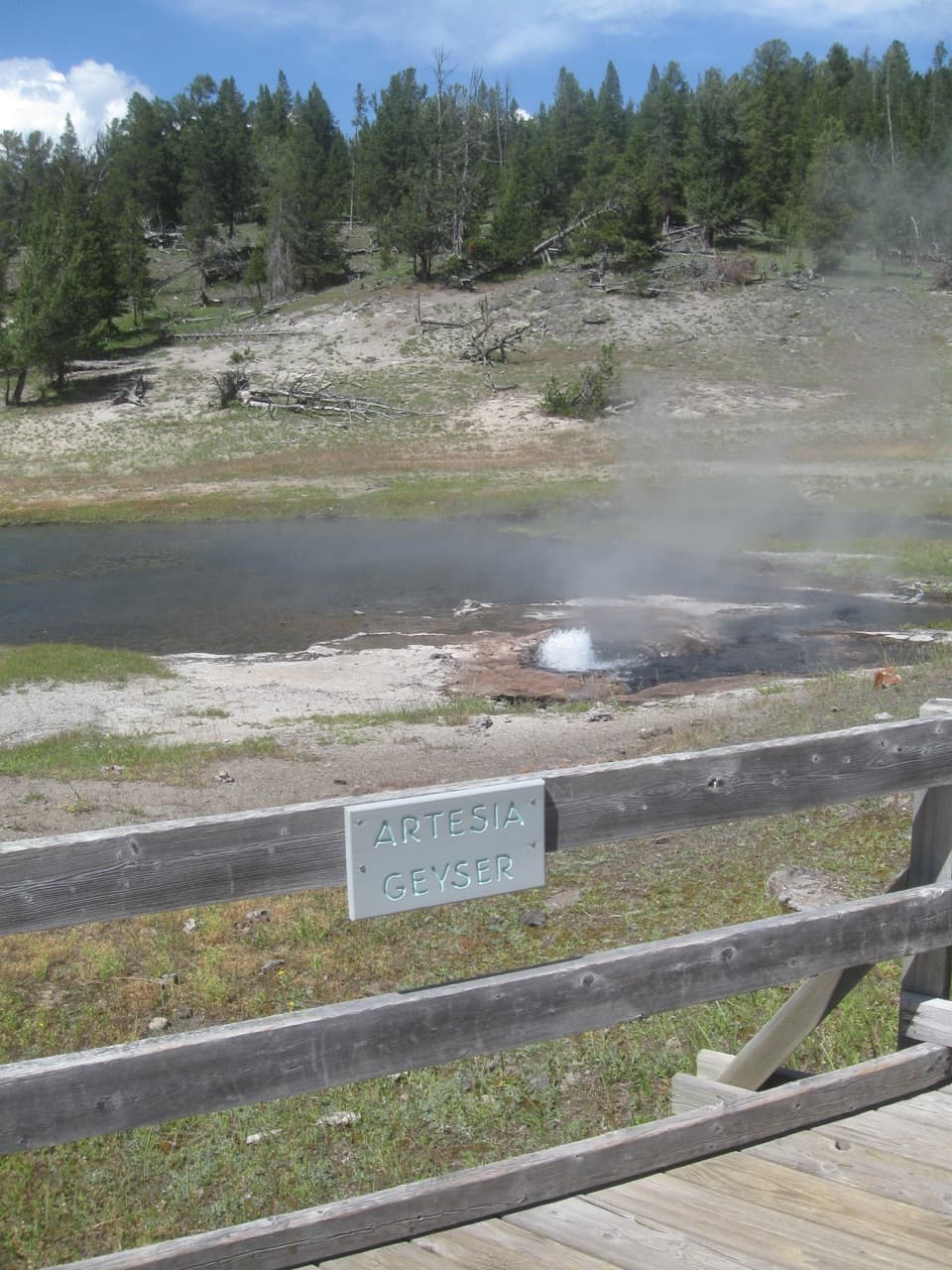 EasyThree Senses Nature Trail0.2 mi · 12 min · 7.9 mi awayA quick boardwalk stop beside Artesia Geyser
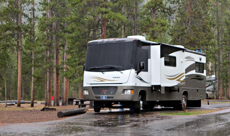 Campground · 0.3 mi awayMadison CampgroundA handy base near the river confluence and geyser basins.
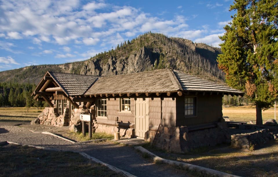 Visitor center · 0.5 mi awayMadison Information Station and Trailside MuseumA useful stop inside an original 1930 trailside museum.
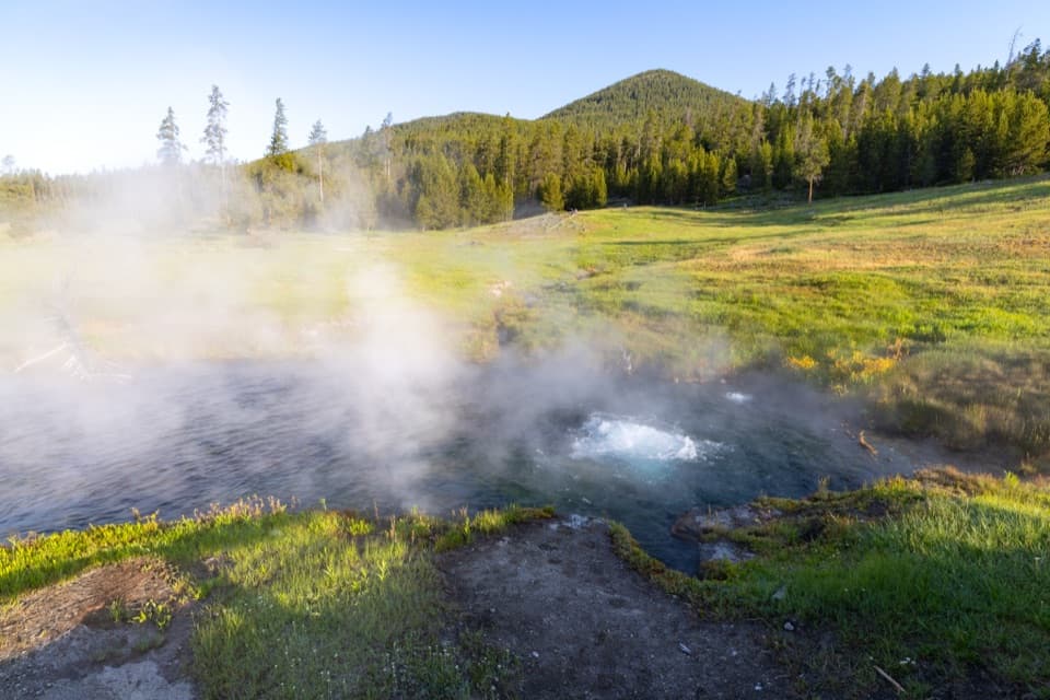 Sight · 0.5 mi awayTerrace SpringA short boardwalk ends at a spring bubbling with carbon dioxide.
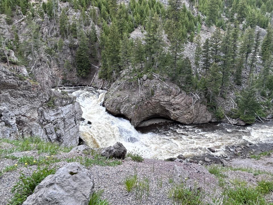 Sight · 1.2 mi awayFirehole FallsA 40-foot waterfall beside the one-way canyon drive.
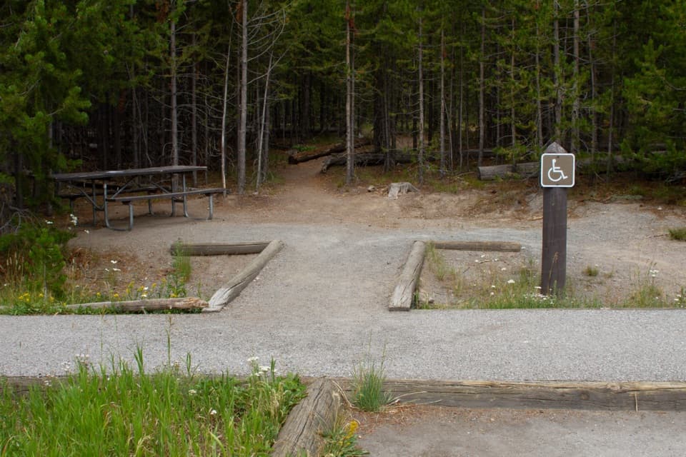 Picnic area · 1.3 mi awayTuff Cliff Picnic AreaA roadside picnic beneath a cliff of welded volcanic ash.
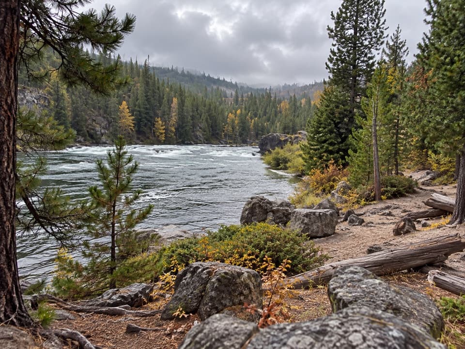 Beach · 2 mi awayFirehole Canyon Swimming AreaA river dip that follows the snowmelt’s schedule.
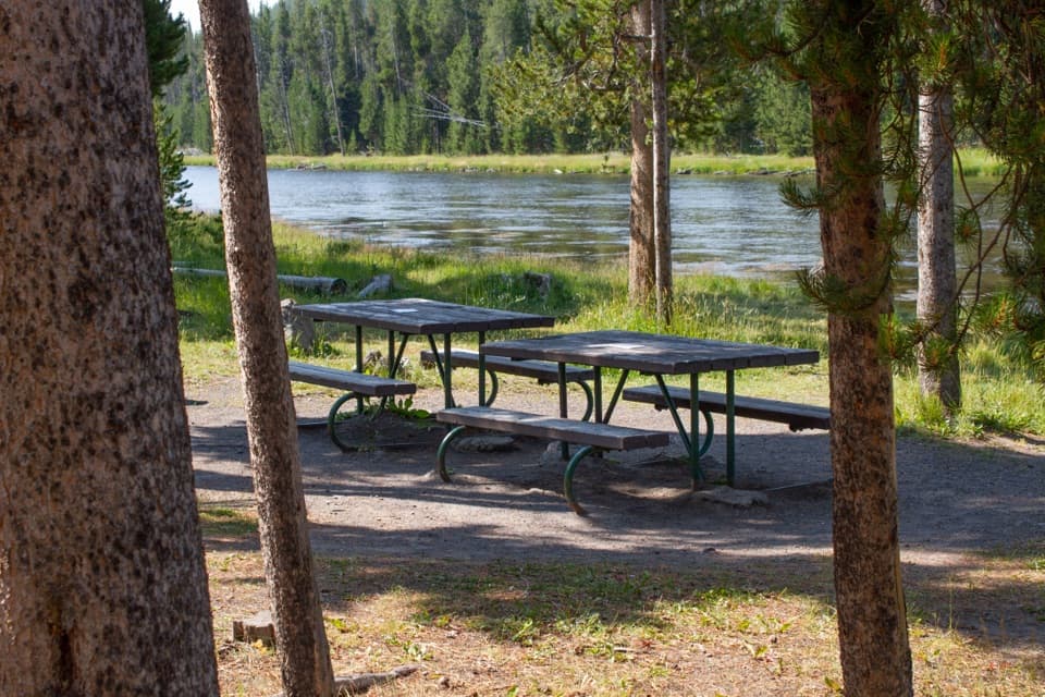 Picnic area · 3.8 mi awayFirehole River Picnic AreaPause by the Firehole where geothermal water warms the river.
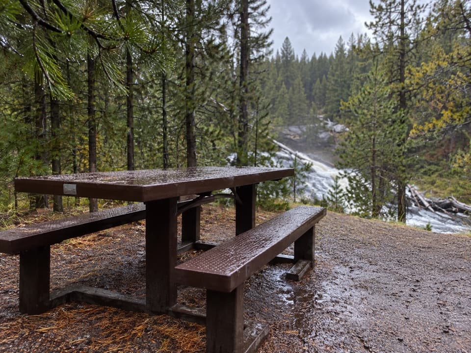 Picnic area · 4 mi awayGibbon Falls Picnic AreaA riverside lunch stop below Gibbon Falls.
Parkwolf’s Yellowstone ranking
The audio tour guide for the drive, plus offline maps, trails, and wildlife heatmaps for when the signal drops.





