Parking
Use the Artists Paintpots parking area off Grand Loop Road. The paved lot is small and can fill during busy summer mornings; the boardwalk trail entrance starts at the lot.
Yellowstone National Park, WY · MT · ID
A short loop past bubbling mud and a steep climb.
Overview
Map & elevation
Plan your hike

The highest, rockiest slopes around here are a summer buffet for grizzly bears.
Yellowstone Tour Guide
Parkwolf is a GPS audio tour guide for Yellowstone National Park. As you drive, it chimes in with what’s ahead: hidden gems, upcoming stops, history, geology, and wildlife, right through your car’s speakers.
See the Yellowstone audio tourRecorded for this trailhead
Artists Paintpots“The turnoff for Artists Paintpots is coming up, a good choice if you'd enjoy watching thick mud bubble and splatter.”
Plays as you drive up to this trailhead in the Parkwolf Yellowstone Tour Guide.
More stories near here in the app
“First time driving through a national park. We used the Yellowstone tour on grand loop Road and it’s just like having a tour guide in your car with you.”


Trail guide
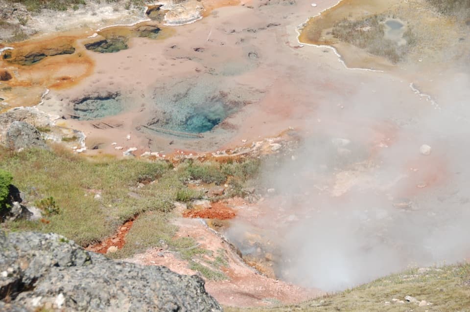
Artists Paintpots is a one-mile loop from a roadside lot to a compact hydrothermal basin, with a forest-and-meadow approach before the close-up boardwalk. Allow about 45–60 minutes. It is a good short stop if you want bubbling mud and hot springs up close, but do not expect a flat stroll: the back of the loop climbs by numerous steps and steep grades to reach the upper mudpots and views. The mile includes walking to the basin, circling the features, and coming back to the lot.
The route begins on a short wooden boardwalk at the parking area, then leaves it for a dirt and gravel trail through partially burned lodgepole pine. After about a third of a mile, the trees give way to a wet meadow. Boardwalk crosses the soft ground and brings you into the thermal area. This approach is the easy part; the boardwalk does not continue through the whole hike.
The lower feature area is relatively flat, mixing bare ground with boardwalk. On the back side, the path climbs to the upper mudpots and a broad view across the basin. There are stairs and a less steep switchback line around the upper slope, so choose the easier grade if the steps are a problem. Reports differ on which direction of the loop puts the stairs uphill, so follow the signed route rather than relying on a left-or-right instruction. Look for Blood Geyser among the named features. The overlook gives you a better read on how the springs, mudpots, and small geysers sit together than you get from the lower boardwalk.
Mudpots are acidic features with little water. In a shallow clay-lined pocket, heat below warms the surface water. Some microorganisms use hydrogen sulfide for energy and help make sulfuric acid, which breaks down rock into clay. Gas then escapes through the wet clay as bubbles, and hydrogen sulfide gives the basin its rotten-egg smell. The colorful hot-spring bands come from heat-loving microbes that thrive at different temperatures. Mud consistency and activity shift with precipitation and season, so the bubbling and color can look different from one visit to the next.
Mudpots can splatter, and hydrothermal water can cause severe burns. Stay on the boardwalk and designated trail, and keep children close. Pets are not allowed on Yellowstone trails, boardwalks, or thermal areas. The trailhead has interpretive displays. The walk from the lot to the hydrothermal features is relatively flat but includes bare ground; the full loop is not step-free because the back climb has numerous steps and steep grades. The small paved lot can fill on busy summer mornings, so leave time for parking.
Wildlife
 713 sightingsGrizzly BearMost seen around 6 AMSighting map
 743 sightingsWolfMost seen around 6 AMSighting map
 5,273 sightingsBisonMost seen around 7 AMSighting map
 3,258 sightingsElkMost seen around 7 PMSighting map
 397 sightingsMooseMost seen around 7 PMSighting map
 1,494 sightingsBlack BearMost seen around 7 PMSighting map
Sighting maps show where each species has been reported across Yellowstone. Wildlife moves, so no sighting is guaranteed.
Keep exploring
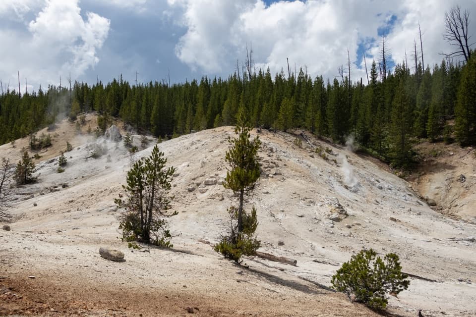 ModerateMonument Geyser Basin Trail2.4 mi · 2 hr · 0.9 mi awayA steep climb from the Gibbon River to a pale thermal basin.
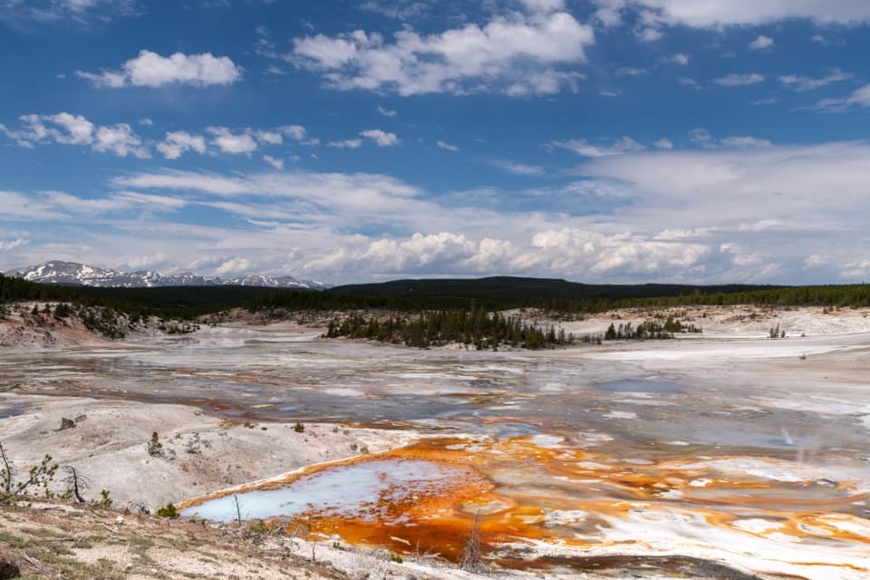 EasyPorcelain Basin Trail1 mi · 45 min · 2.8 mi awayLoop past steaming geysers and vivid runoff in a pale basin.
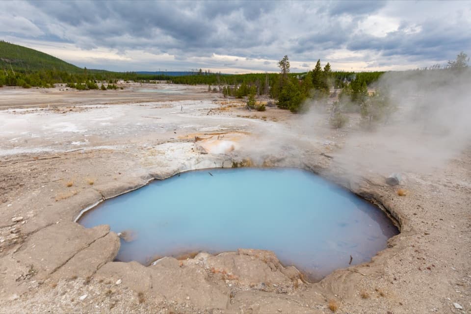 EasyBack Basin Trail1.5 mi · 1.3 hr · 2.8 mi awayA wooded thermal loop with geysers scattered through the pines.
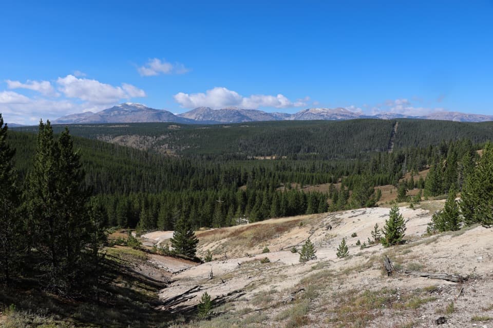 ModerateSolfatara Creek Trail6.3 mi · 3.5 hr · 3.8 mi awayA long thermal creek walk through forest, meadows, and hot springs
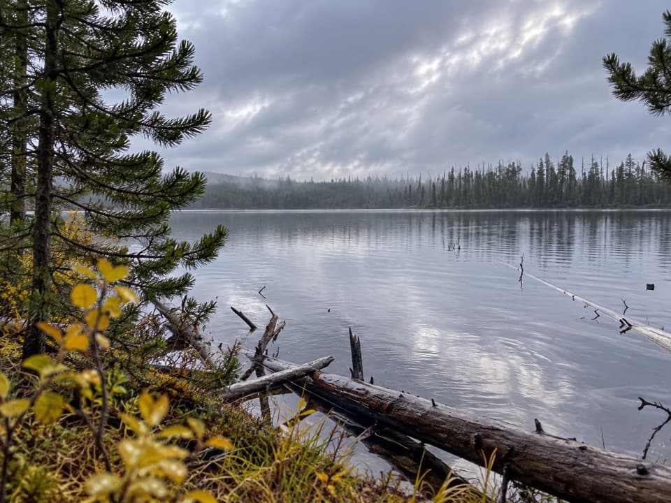 EasyIce Lake Trail1 mi · 45 min · 5.5 mi awayA short forest walk to the western edge of Ice Lake.
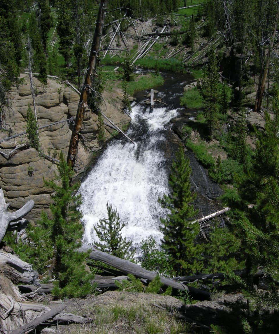 EasyWolf Lake Trail2.4 mi · 1.5 hr · 5.7 mi awayA short waterfall walk through Yellowstone's forest and wet meadows.
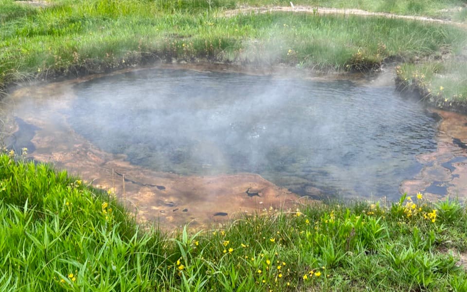 EasyTerrace Spring Trail0.2 mi · 15 min · 6 mi awayA short boardwalk loop to Yellowstone’s small thermal area.
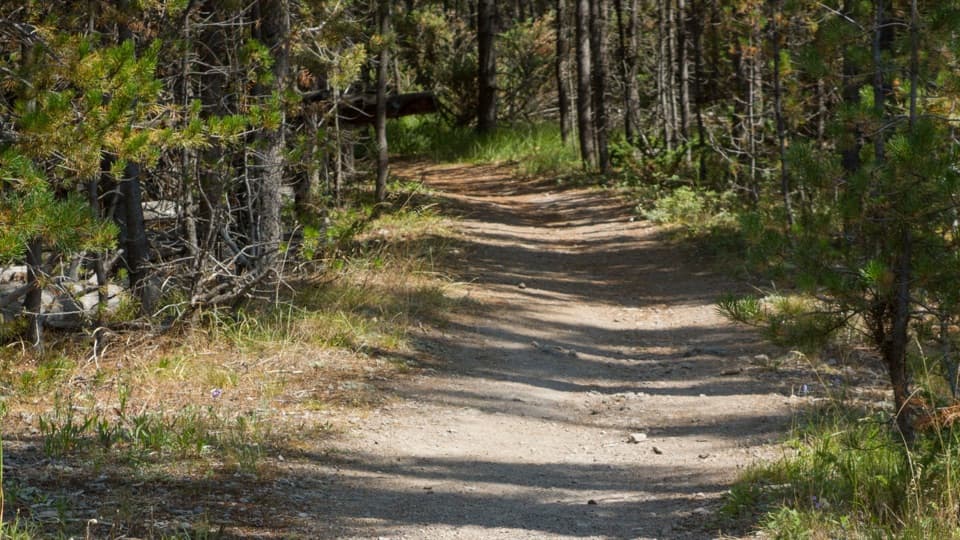 ChallengingPurple Mountain Trail6.6 mi · 4 hr · 6.6 mi awayEleven switchbacks climb to views over the Gibbon and Madison valleys.
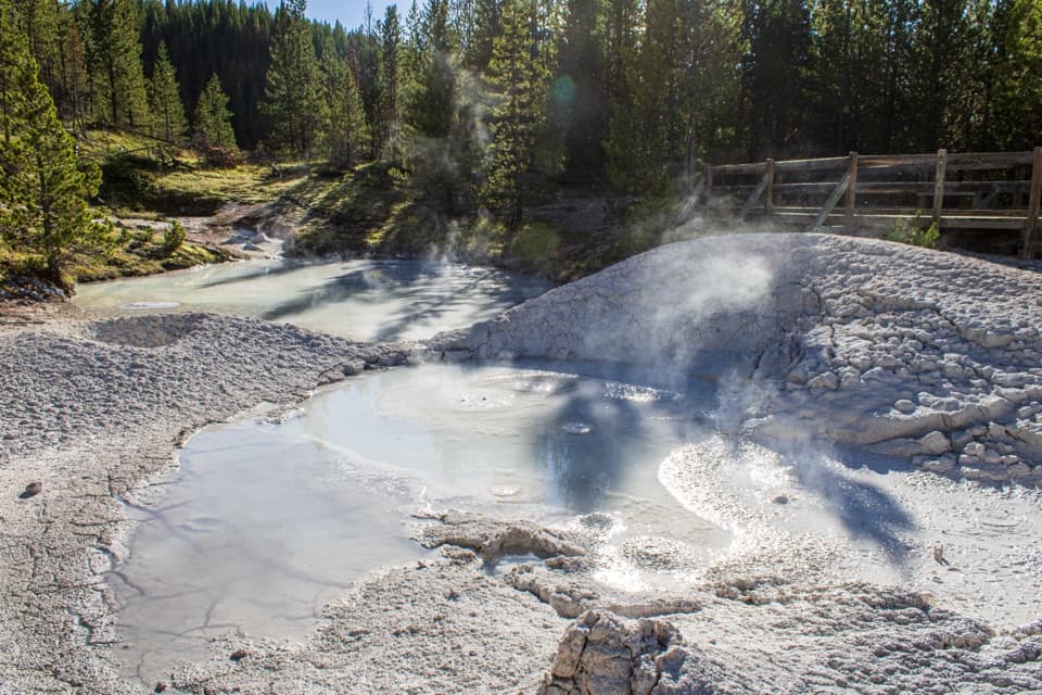 Sight · 0.4 mi awayArtists PaintpotsA short loop through bubbling mud, bright pools, and small geysers.
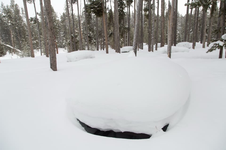 Picnic area · 0.7 mi awayGibbon Meadows Picnic AreaTen picnic tables beside the Gibbon River and a broad meadow.Sight · 1 mi awayMonument Geyser BasinA steep hike to a hillside of pale, steaming silica spires.
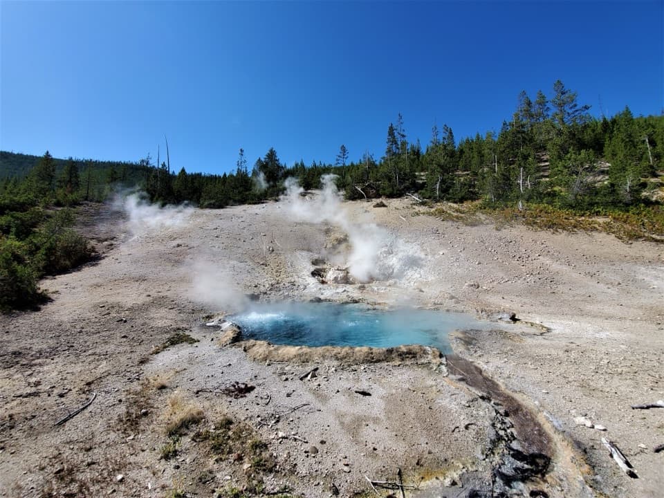 Sight · 1.3 mi awayBeryl SpringA bright blue roadside spring with a vent you can hear.
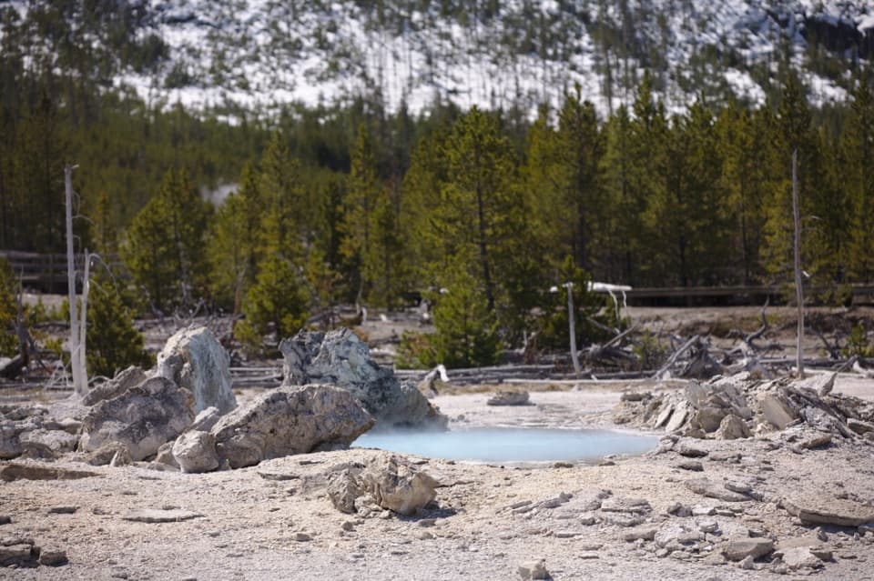 Sight · 2.4 mi awayPorkchop GeyserA quiet pool with a very loud history.
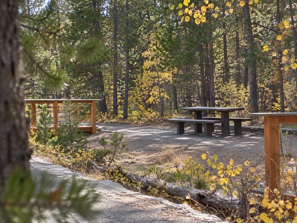 Picnic area · 2.6 mi awayCaldera Rim Picnic AreaA three-table picnic stop beside the Gibbon River.
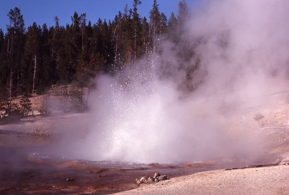 Sight · 2.6 mi awayEchinus GeyserA 66-foot acidic geyser with sea-urchin spines around a red rim.
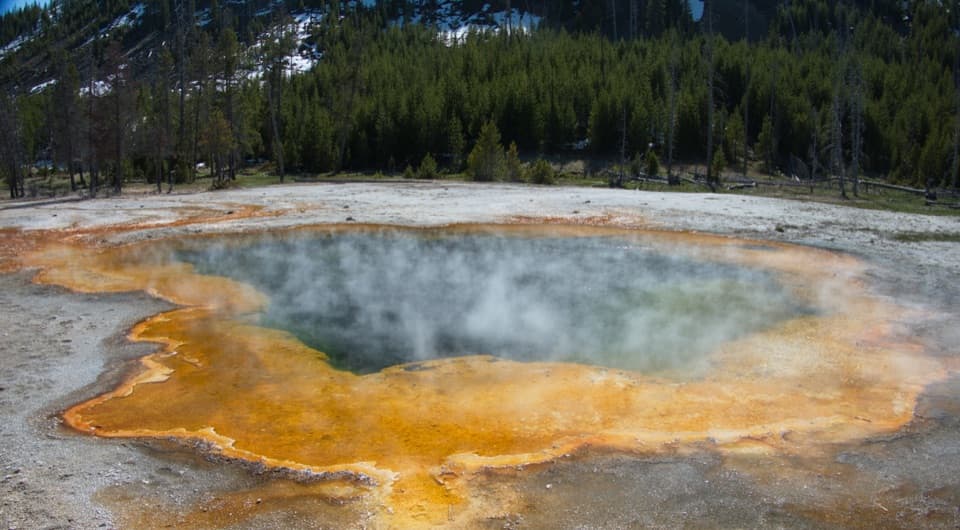 Sight · 2.6 mi awayMinute GeyserA low spout and a cautionary story about visitor damage.
Parkwolf’s Yellowstone ranking

The audio tour guide for the drive, plus offline maps, trails, and wildlife heatmaps for when the signal drops.





