Challenging

Bliss Pass Trail

Big pass traverse linking Pebble Creek to Slough Creek meadows
Bliss Pass Trail, Yellowstone National Park
Distance18.8 mi
Typical time9.5 hr
DifficultyChallenging
PetsNot allowed

Overview

This is a committing Northern Range traverse that links upper Pebble Creek over Bliss Pass to the wide-open meadows of Slough Creek. The popular point-to-point is about 18.8 miles total with roughly 4,250 feet of cumulative gain. Strong hikers can do it in a long day, but most people treat it as a 2–3 day backpack for the scenery, wildlife, and fishing along Slough Creek. Expect a stout climb to the pass, a long, pounding descent, and multiple creek fords.

Route Options

  • Point-to-point (recommended): Start near Warm Creek/Pebble Creek on the east side and finish at the Slough Creek trailhead on the west side. Hiking east to west front-loads a shorter, steeper ascent to Bliss Pass (about 1,400 feet up from the east side) and leaves a longer descent toward Slough Creek. Total gain for the full traverse is reported around 4,251 feet. A core ~7-mile Bliss Pass segment itself climbs roughly 2,800 feet and descends about 1,600 feet.
  • Out-and-back: A big, single-direction workout exists from Pebble Creek to Bliss Pass and back (about 25.9 miles total). It’s a serious day and best for very strong parties.

What You’ll See

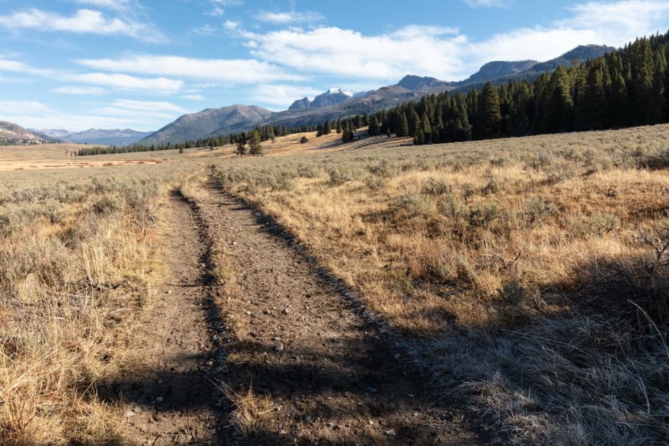
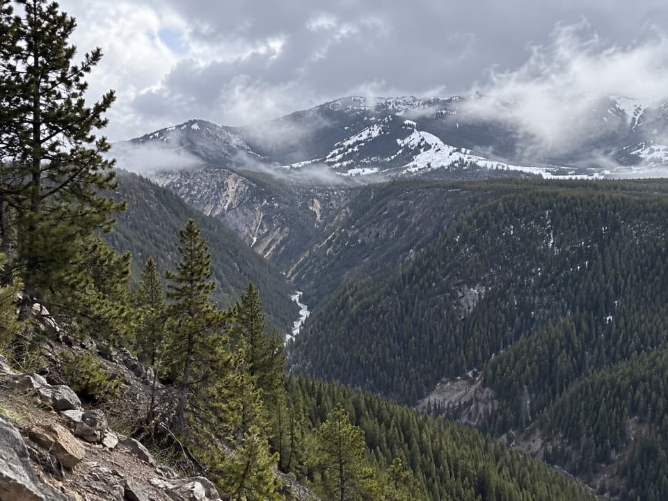
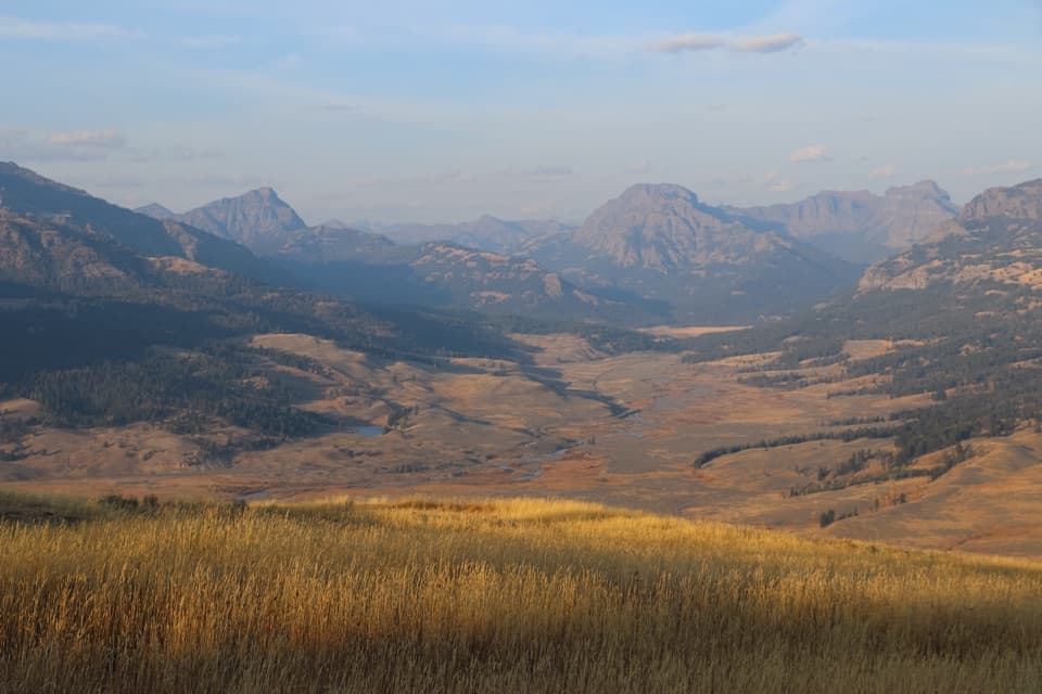
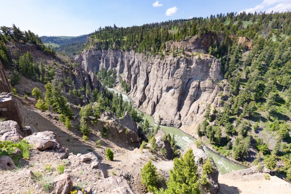
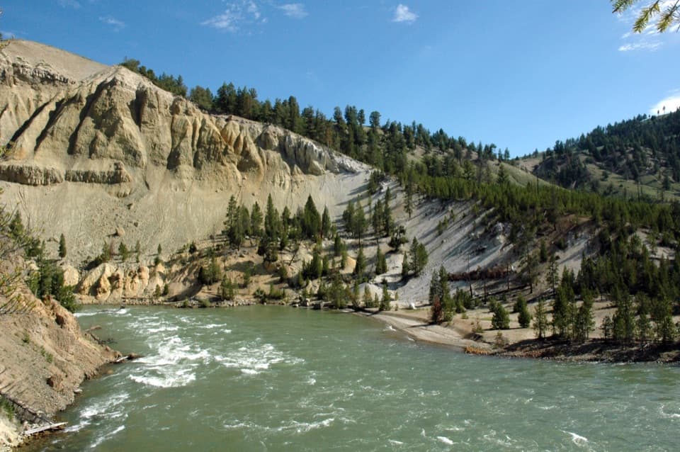
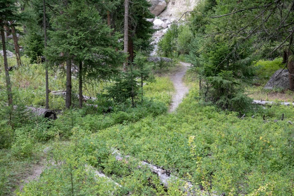
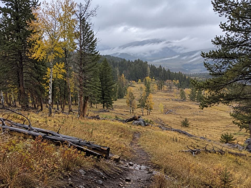
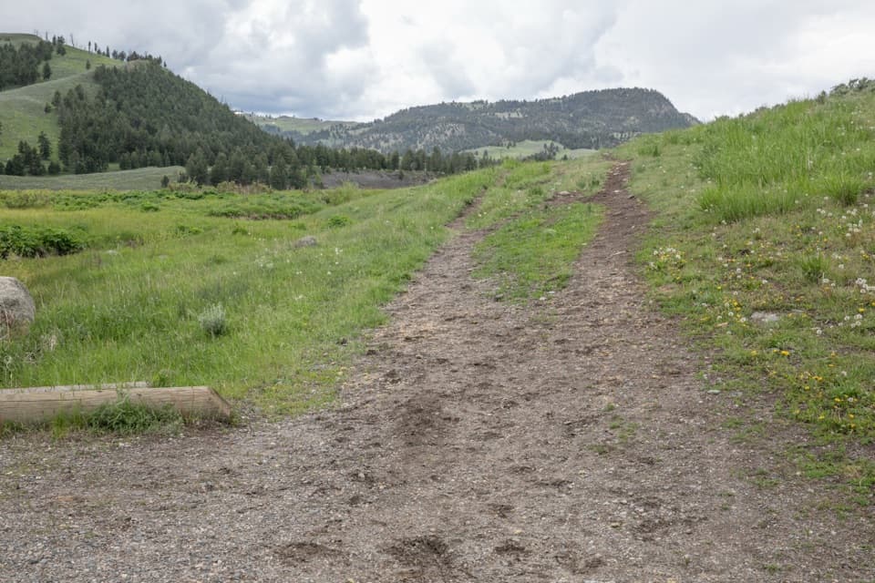
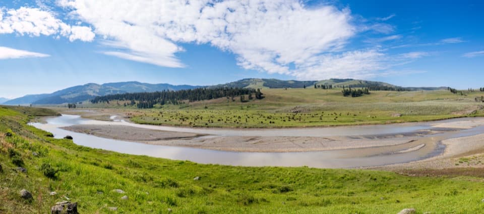
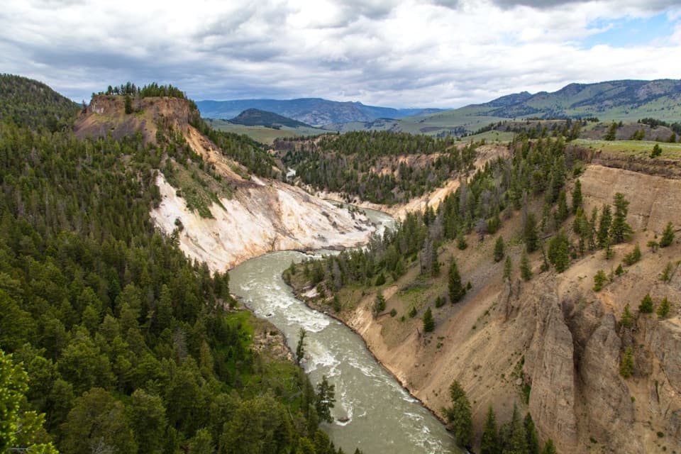
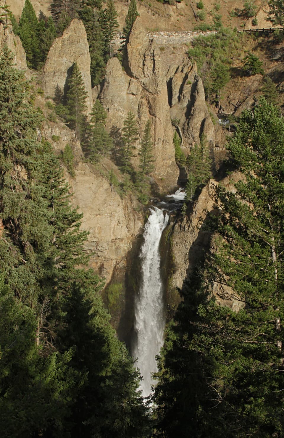
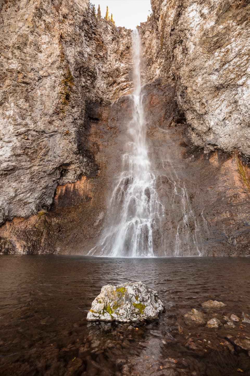
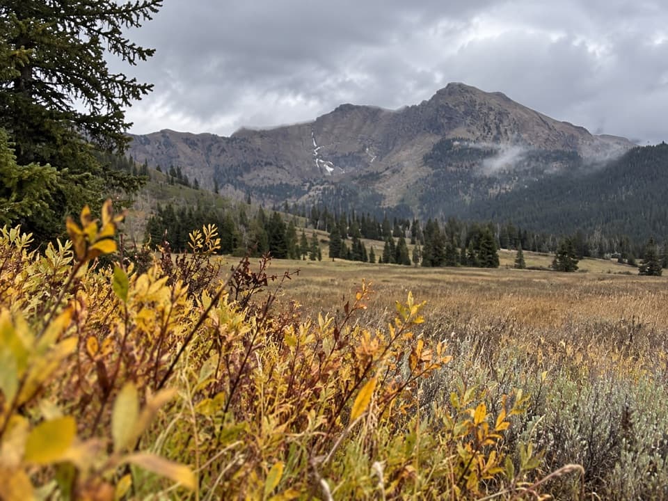
You’ll move through cool, dense pine forest into intermittent meadows with big mountain backdrops. Near the pass, the trail crosses old volcanic earth flows—rocky and sometimes muddy, especially during snowmelt. On the west side, you’ll drop into the classic Slough Creek valley with broad, photogenic meadows and a historic wagon-road feel near the bottom. Keep an eye out for perennial waterfalls spilling off the mountains and sweeping views of surrounding Absaroka peaks.

Wildlife

This is prime Northern Range country—think bison in the meadows and elk along the creek bottoms, with potential for bighorn sheep or even mountain goats near the high country. Bears (both black and grizzly) are very much part of the scene. Carry bear spray, make noise in brushy stretches, store food properly, and keep your distance from all wildlife.

Conditions to Expect

  • Water crossings: Multiple, often unavoidable fords of Pebble Creek. Early summer runoff can make them pushy; by midseason they’re usually ankle-to-shin deep. Unbuckle your pack waist/ sternum straps before crossing and use poles for stability.
  • Trail character: Expect rocky, muddy stretches—especially on the west-side descent. Signage mileage can be off; bring a good map and GPS.
  • Bugs and weather: Mosquitoes can be intense in the woods and meadows. Afternoon storms roll through—start early and keep an eye on the sky.

Best Time to Hike

Plan for July through September. Earlier than that, snow can linger near the pass and creeks can run high. Weekdays see fewer anglers and stock on the Slough Creek side. For photos, morning light is kinder in Slough Creek’s east-facing meadows; late afternoon glows on the high country as you crest the pass east-to-west.

Logistics and Tips

  • Direction: East → West (Warm Creek/Pebble Creek to Slough Creek) makes the climb shorter and puts the long descent later in the trip.
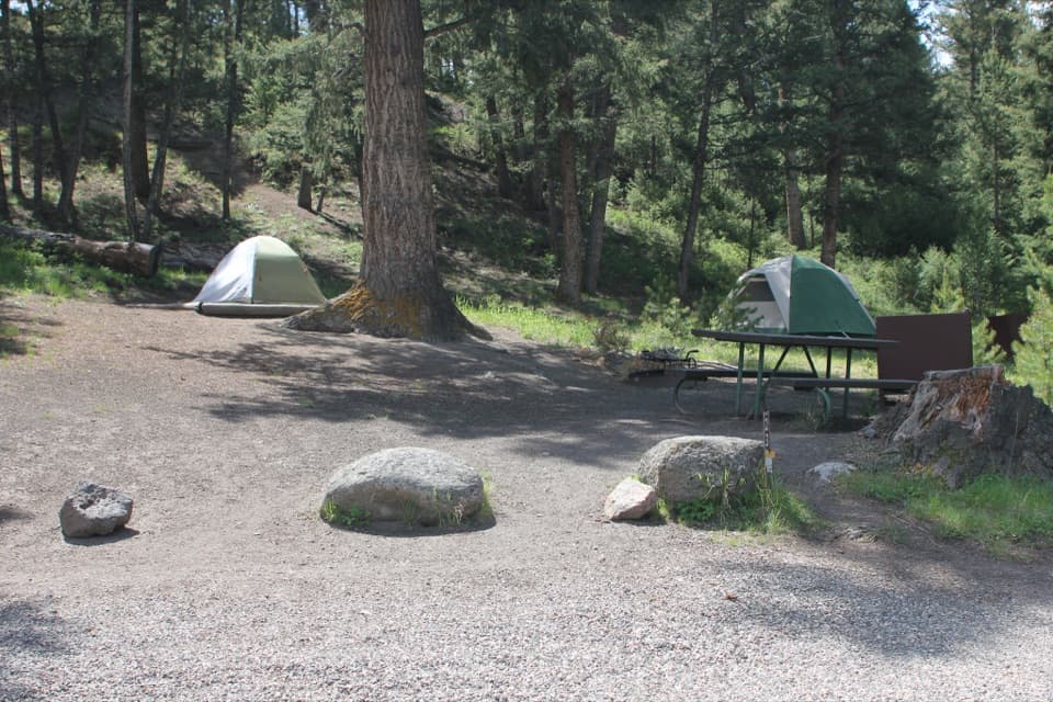
  • Permits and camps: Overnight trips require a backcountry permit and camping is at designated sites. Popular picks on this traverse include sites along Pebble Creek and in upper Slough Creek.
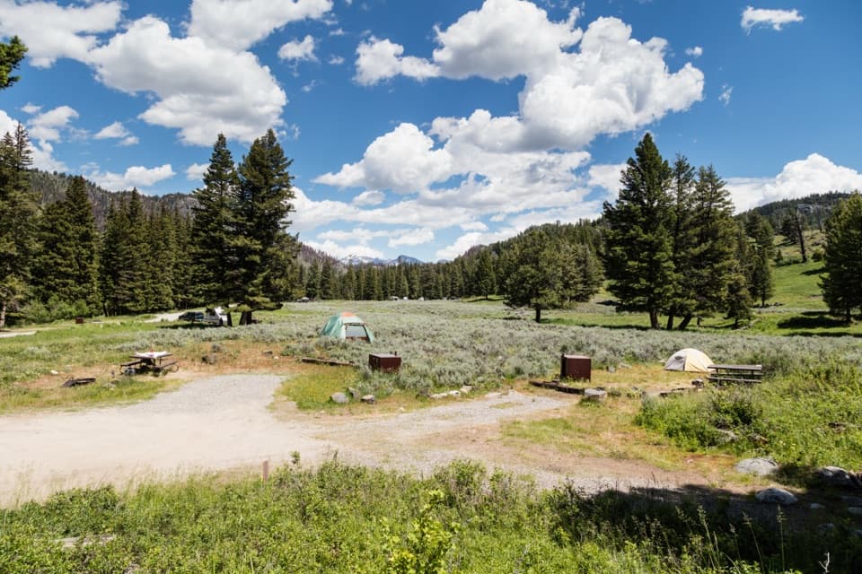
  • Parking and shuttle: Parking can be tight at Pebble Creek; there are vault toilets at the campground. Slough Creek trailhead is reached by a short gravel road. Arrange a car shuttle—it’s essential for the point-to-point.
  • Final miles: The lower Slough Creek section is wider and shared with anglers and stock. It’s faster walking but busier.

If you want remote, varied terrain with big wildlife potential and a high pass tossed in, this one delivers. Just respect the fords, the bears, and the descent—it’s tougher than it looks on paper.

Pros

  • East-to-west direction front-loads the short, steep climb and saves energy
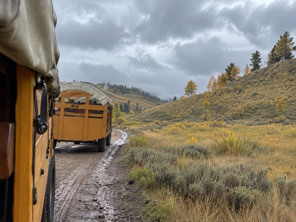
  • Historic wagon-road finish down Slough Creek makes for quick exit miles

Cons

  • Multiple unavoidable creek fords that can be pushy early season
  • Long, rocky descent on the west side can be knee-jarring and muddy
  • Trail signage mileages can be inaccurate—GPS strongly advised

Parking

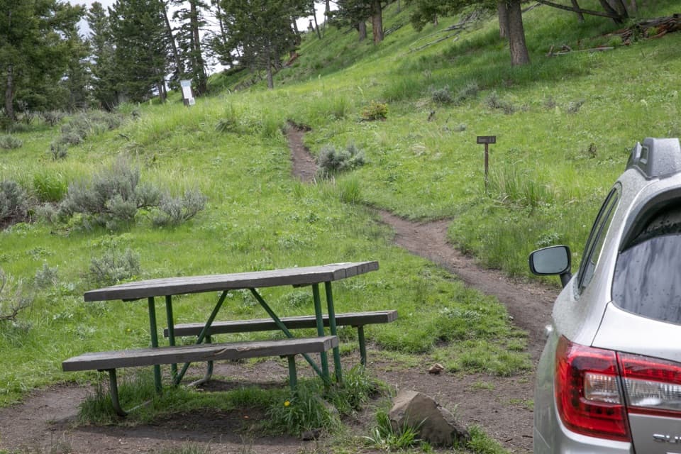
Point-to-point shuttle recommended. Start at Warm Creek/Pebble Creek area near the Northeast Entrance; limited parking at the Pebble Creek trailhead with vault toilets at the campground. Finish at the Slough Creek Campground trailhead via a short gravel road.

Caution

Multiple creek fords, grizzly country, rocky/muddy descents, and occasionally inaccurate mileages—carry bear spray, unbuckle pack during crossings, and use GPS.

The Parkwolf tour guide sitting on a phone mounted in a car

Parkwolf Tour Guide

Like a tour guide in your car.

Bring Yellowstone trail research into the car, with offline maps and stories that play as you drive.Download Parkwolf on the App Store