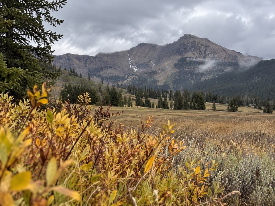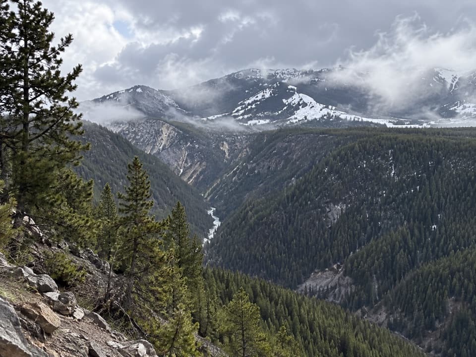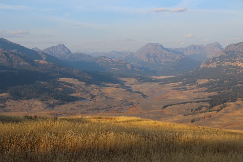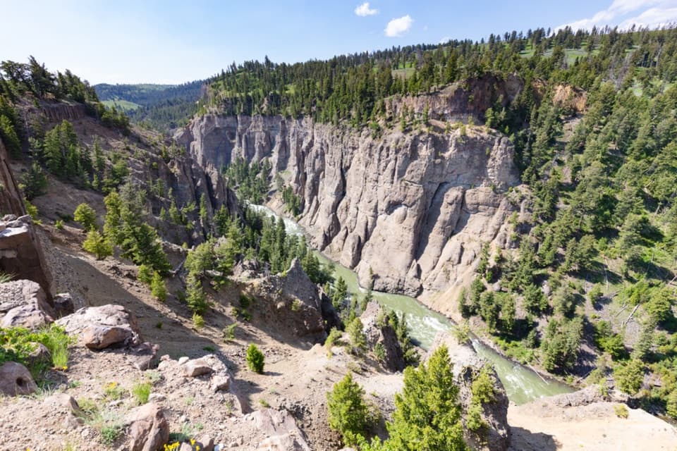
Slough Creek Trail in Yellowstone National Park

Yellowstone National Park, WY · MT · ID

Slough Creek Trail

Climb an old wagon road, then follow the creek into open meadows.

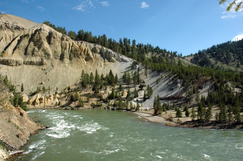
Photo: Wikimedia Commons
Length
3.4mi
Time
3hr
Elev. change
476ft
Difficulty
Moderate
  • No dogs
  • High point 6,739 ft
  • #31 of 167 in Yellowstone

Hear the audio tour

Slough Creek Trailhead

Overview

About Slough Creek Trail

Why go

  • Historic wagon tread reaches a broad creekside meadow.
  • Wide-open valley views reward the initial climb.

Heads up

  • The first mile climbs steadily before the meadow.
  • Tracked mileage may run longer than the published 3.4-mile figure.

Map & elevation

The route

Loading the Yellowstone map
Full map
Elevation6,263–6,739 ft
TrailheadSlough Creek Trailhead 2K544.94350, -110.30799
Keep this map with you offline in the Parkwolf app

Plan your hike

Before you go

Parking

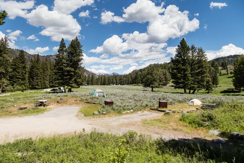
From the Northeast Entrance Road, follow the gravel Slough Creek Campground Road toward the campground to the bend where it bears left. The Slough Creek Trailhead 2K5 parking area is beside a vault toilet before the campground; parking is ample and includes horse-trailer space. In winter the gravel road is closed to vehicles, and visitors can park by the vault toilets at the main road and ski or snowshoe in.

Safety

Bears and moose use this area; stay alert and give wildlife room. Horses and wagons share the route: move to the downhill side and stand still until they pass. There is no potable water on the trail.

5 active Yellowstone alerts

  • ClosureBiscuit Basin closed after hydrothermal explosionBiscuit Basin’s parking lot, boardwalk, and Firehole River are closed to all travel.Official details
  • ClosureMost Yellowstone roads close to regular vehicles November 1Most Yellowstone roads and the West, South, and East entrances are scheduled to close to regular vehicles November 1, 2026, as the park prepares for winter operations.Official details
See all 5 alerts
A park ranger sits on a dash-mounted phone, talking, as Parkwolf’s Tour Guide plays “Army Cutworm Moths: A Grizzly Bear Buffet” on Grand Loop Road below Dunraven Pass in Yellowstone
Parkwolf Tour GuideThe highest, rockiest slopes around here are a summer buffet for grizzly bears.

Yellowstone Tour Guide

Hear Yellowstone as you drive it.

Parkwolf is a GPS audio tour guide for Yellowstone National Park. As you drive, it chimes in with what’s ahead: hidden gems, upcoming stops, history, geology, and wildlife, right through your car’s speakers.

See the Yellowstone audio tour

Recorded for this trailhead

Slough Creek Trailhead
0:00 / 0:20
“Slough Creek's trailhead is coming up, the start of an old wagon road into open meadow country. I'd make the first meadow your turnaround, allowing two to five hours for the out-and-back.”

Plays as you drive up to this trailhead in the Parkwolf Yellowstone Tour Guide.

More stories near here in the app

  • A River Moves Sideways
  • From Corral to Open Range
  • A Coyote Listening for Lunch
  • Lamar Valley Wildlife Wayside
  • 243 audio storiesacross Yellowstone’s roads, triggered by GPS as you drive
  • Wildlife heatmapsfor Wolf, Grizzly Bear, Bison, and 13 more
  • Works offlinemaps, 167 trails, 192 places, and audio download before you lose signal
  • CarPlay readysimple controls built for the drive
★★★★★
“First time driving through a national park. We used the Yellowstone tour on grand loop Road and it’s just like having a tour guide in your car with you.”
Jyg5001App Store review
Download Parkwolf on the App StoreGet Parkwolf on Google Play

4.7 from 8,600+ ratings

Trail guide

Hiking Slough Creek Trail

The first meadow is the goalSlough Creek Trail is a 3.

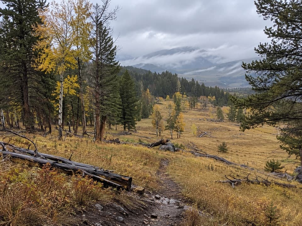
Slough Creek Trail is a 3.4-mile out-and-back from Slough Creek Trailhead 2K5 to the first meadow. The published round-trip figure is 3.4 miles, though other route descriptions put the meadow close to two trail miles from the lot; leave some room if you track the walk. Allow 2 to 5 hours. It is a moderate hike with a steady climb at the start, followed by a descent through spruce into open grassland along Slough Creek.

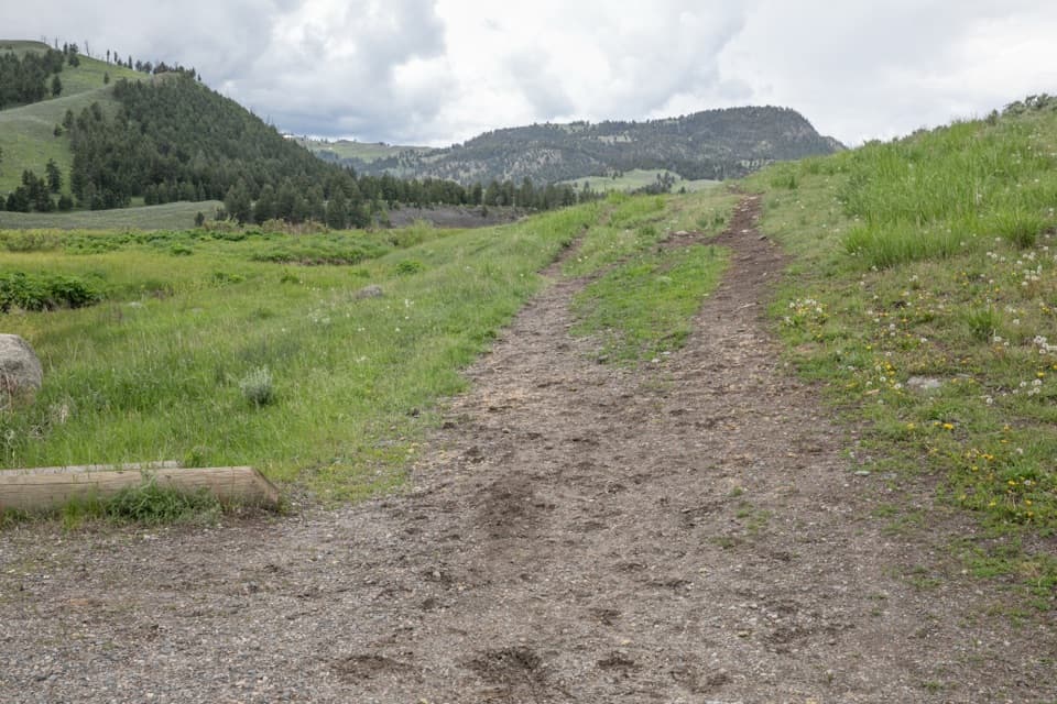
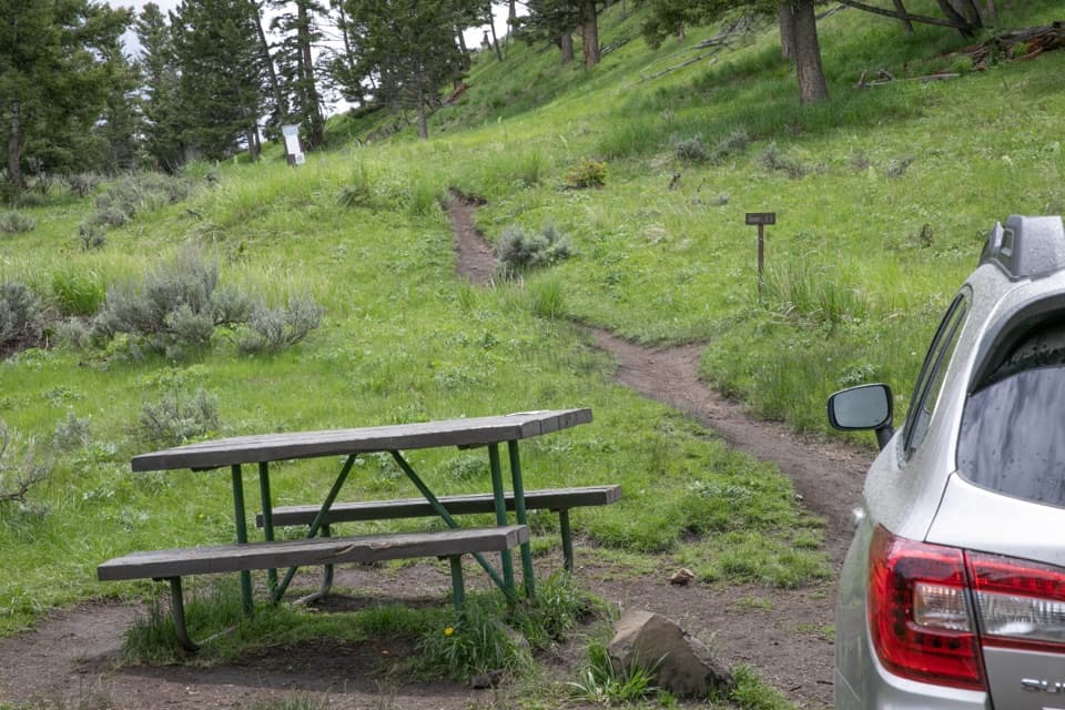
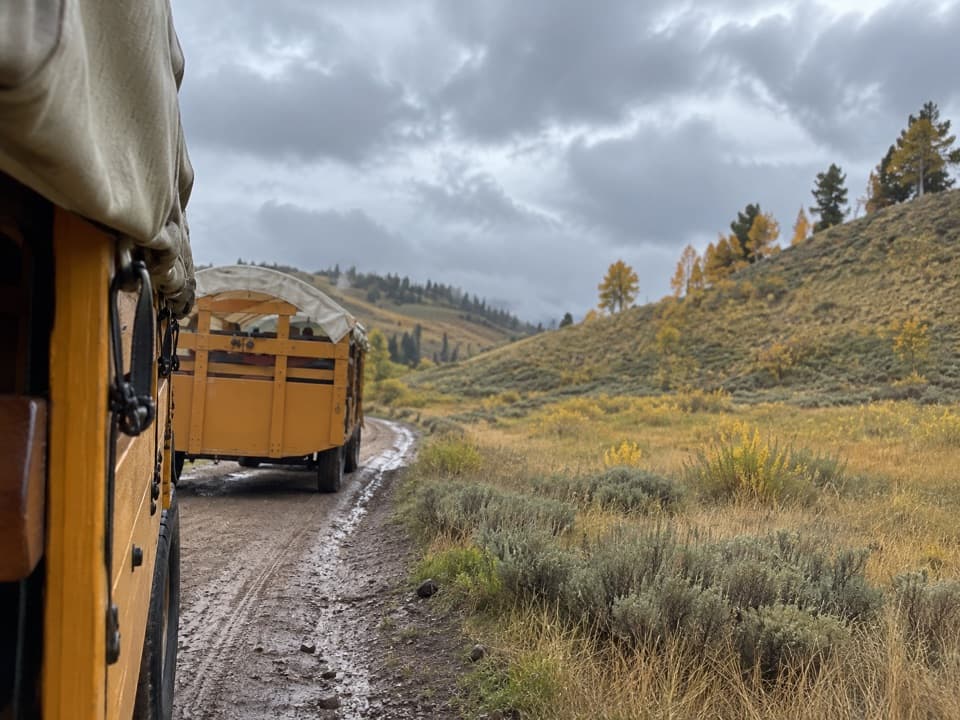
An old wagon roadThe historic wagon road climbs roughly 400 feet over its first mile, then crests a damp, marshy…

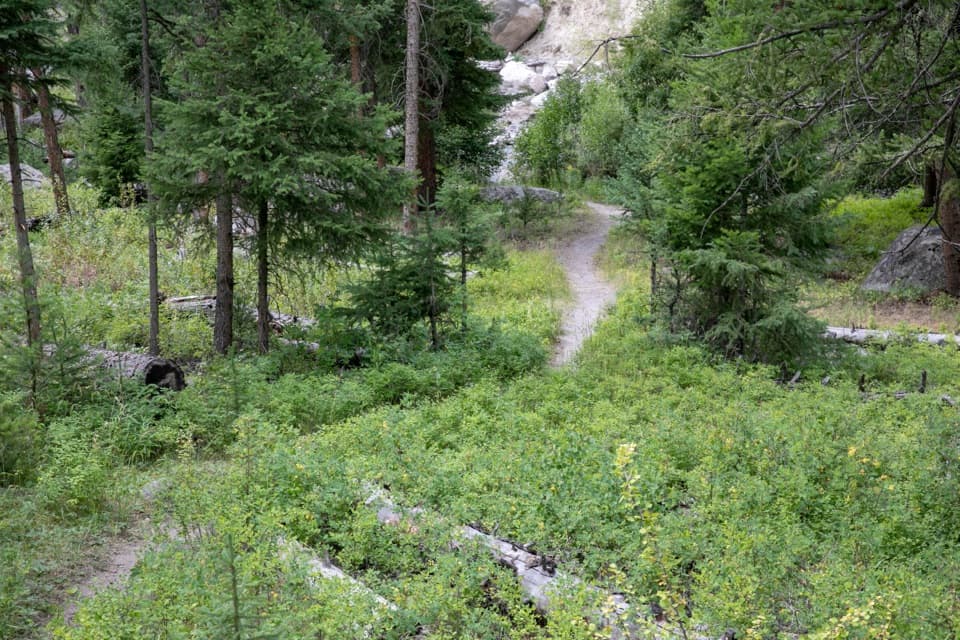
The historic wagon road climbs roughly 400 feet over its first mile, then crests a damp, marshy stretch and drops through denser spruce. The first meadow opens up at the bottom, where the path follows the grassy edge and passes the Slough Creek Patrol Cabin. The return uses the same route, so save energy for the climb back over the hill.

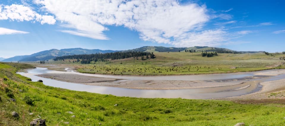
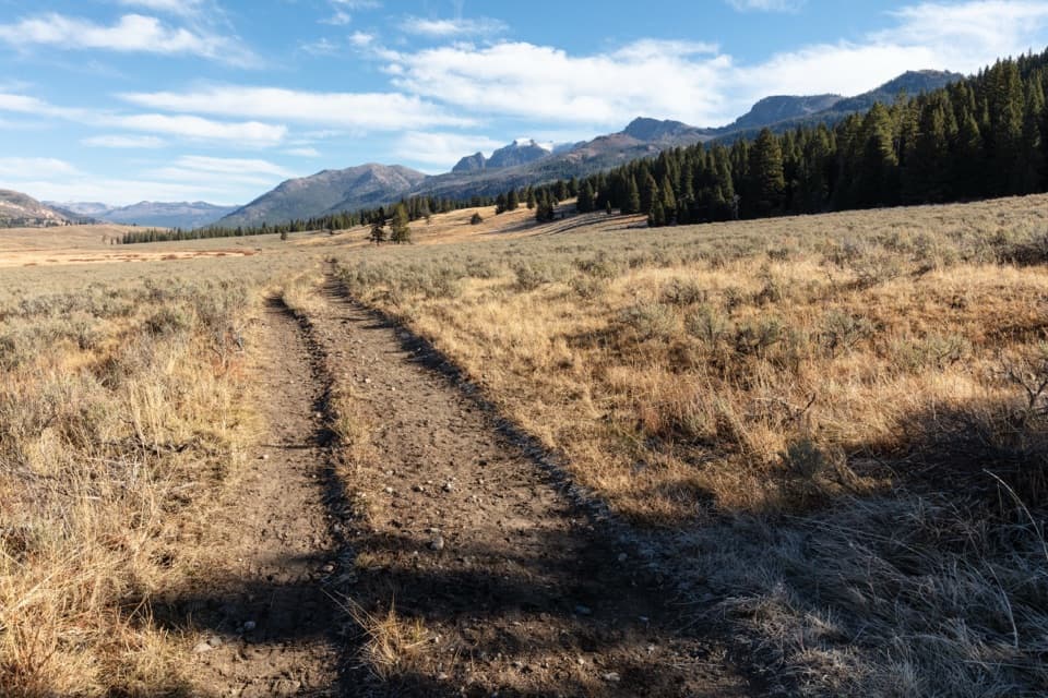
A creek through wide-open countrySlough Creek winds through a broad meadow beneath Cutoff and Sugarloaf mountains.

Slough Creek winds through a broad meadow beneath Cutoff and Sugarloaf mountains. This is a popular fishing stretch, with a lot of open ground to look across; wildlife may be present, but sightings are never promised. Bears and moose are among the animals the park warns hikers to watch for. For a photo, frame the wagon ruts leading into the meadow rather than filling the picture with the distant peaks alone.

Going fartherThe first meadow makes a satisfying turnaround.

The first meadow makes a satisfying turnaround. Continue to the second meadow only if you want a much longer day: the full out-and-back is 8.6 miles, with another 2.6 miles of trail each way beyond the first meadow. The trail keeps going into the Absaroka-Beartooth Wilderness, but that longer backcountry corridor is a different outing from the first-meadow walk described here.

Access and trail etiquetteThe 2K5 trailhead has ample parking, including space for horse trailers, and a vault toilet.

The 2K5 trailhead has ample parking, including space for horse trailers, and a vault toilet. There is no food or potable-water service on the route, so bring what you need. The gravel road closes to vehicles in winter; visitors can park by the vault toilets near the main road and ski or snowshoe in. Pets are not allowed. Horses and wagons use this old stock route: move to the downhill side and stand still while they pass.

Wildlife

Wildlife in Yellowstone

All Yellowstone wildlife maps

Sighting maps show where each species has been reported across Yellowstone. Wildlife moves, so no sighting is guaranteed.

Keep exploring

Near Slough Creek Trail

See it all on the map

Trails that start nearby

Places near the trailhead

Parkwolf’s Yellowstone ranking

Top-rated trails in Yellowstone

All 167 trails
  1. 1Old Faithful to Morning Glory Pool TrailEasy · 2.7 mi
  2. 2Grand Prismatic Overlook TrailEasy · 1.6 mi
  3. 3Dunraven Pass–Mount Washburn TrailChallenging · 7 mi
  4. 4Midway Geyser Basin TrailEasy · 0.7 mi
  5. 5Brink of the Lower Falls TrailChallenging · 0.7 mi
  6. 6Fairy Falls TrailEasy · 4.5 mi

Take Parkwolf to Yellowstone.

The audio tour guide for the drive, plus offline maps, trails, and wildlife heatmaps for when the signal drops.

4.7 from 8,600+ ratings

Download Parkwolf on the App StoreGet Parkwolf on Google Play