Parking
North-end parking on Fountain Flats Drive is limited but often less crowded. The south end at Fairy Falls Trailhead can be difficult in summer; leave a pickup there if walking one way.
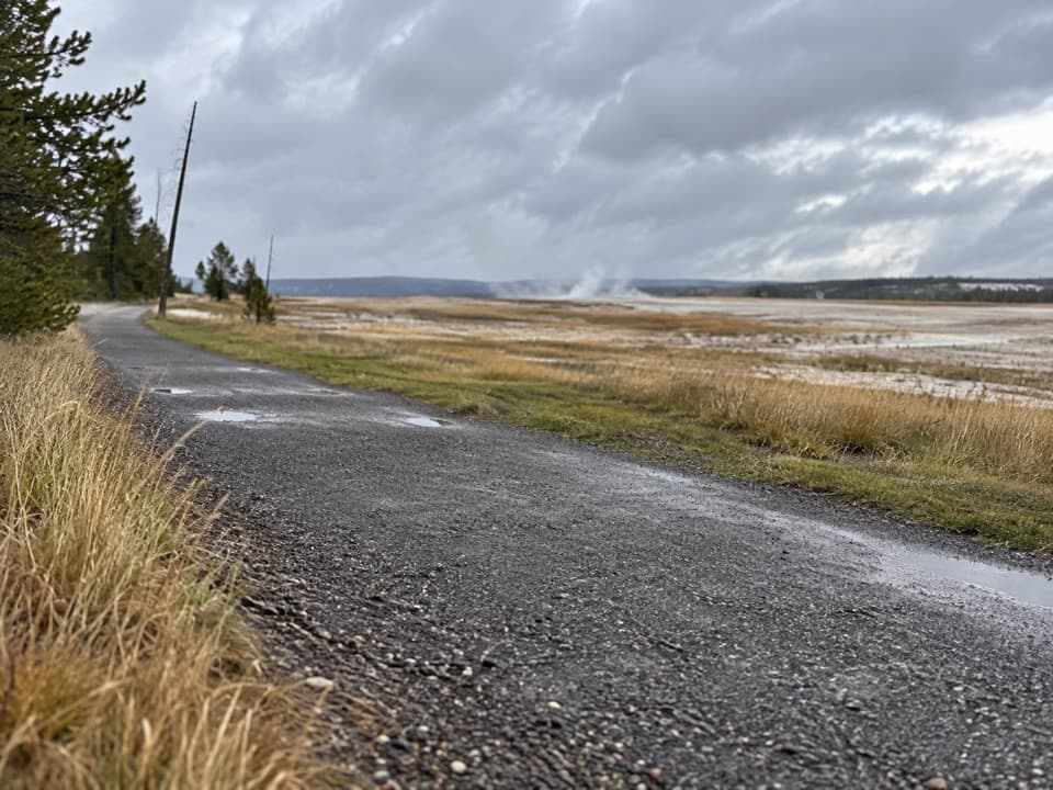
Yellowstone National Park, WY · MT · ID
A level old-road walk past hot springs, river, meadows, and a lake.
Overview
Map & elevation
Plan your hike

The highest, rockiest slopes around here are a summer buffet for grizzly bears.
Yellowstone Tour Guide
Parkwolf is a GPS audio tour guide for Yellowstone National Park. As you drive, it chimes in with what’s ahead: hidden gems, upcoming stops, history, geology, and wildlife, right through your car’s speakers.
See the Yellowstone audio tourRecorded for this trailhead
Fountain Flats Freight Road“You're coming up on the end of Fountain Flats Drive, the start of a mostly level old freight road through open thermal country. For a short walk, Ojo Caliente Springs is about a third of a mile along.”
Plays as you drive up to this trailhead in the Parkwolf Yellowstone Tour Guide.
More stories near here in the app
“First time driving through a national park. We used the Yellowstone tour on grand loop Road and it’s just like having a tour guide in your car with you.”


Trail guide
Fountain Freight Road Trail is a mostly level, 4-mile point-to-point walk through Yellowstone’s Lower–Midway Geyser Basin, from the north end of Fountain Flats Drive to the Fairy Falls parking area. It’s a good pick if you want a longer walk through open geothermal country; the draw is the stretch across the flats, not a climb to one big viewpoint. The old road is closed to cars but open to bikes.
Ojo Caliente Springs is about 0.3 mile from the north access. Farther along, the route crosses the Firehole River, passes open meadows and reaches Goose Lake before ending at the south parking area. The Fairy Falls Trail branches off near that end; the waterfall itself is a separate hike and isn’t included in this route.
The four miles are one way. Arrange a pickup at the other end, or make it an 8-mile out-and-back on the same corridor; there’s no loop. Allow about 2½ hours for the one-way walk with short stops. The road is mostly level, but its aging surface is described as both gravel and crumbling pavement, so expect a rough old road rather than a smooth path. Bikes share the corridor, and the park recommends mountain bikes.
Wildlife
 713 sightingsGrizzly BearMost seen around 6 AMSighting map
 743 sightingsWolfMost seen around 6 AMSighting map
 5,273 sightingsBisonMost seen around 7 AMSighting map
 3,258 sightingsElkMost seen around 7 PMSighting map
 397 sightingsMooseMost seen around 7 PMSighting map
 1,494 sightingsBlack BearMost seen around 7 PMSighting map
Sighting maps show where each species has been reported across Yellowstone. Wildlife moves, so no sighting is guaranteed.
Keep exploring
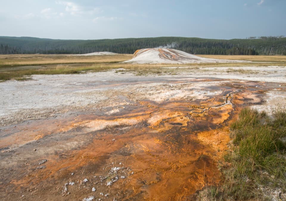 EasySentinel Meadows & Queen’s Laundry Trail3.8 mi · 3 hr · 0.4 mi awayA meadow walk to Queen’s Laundry and its 1881 bathhouse
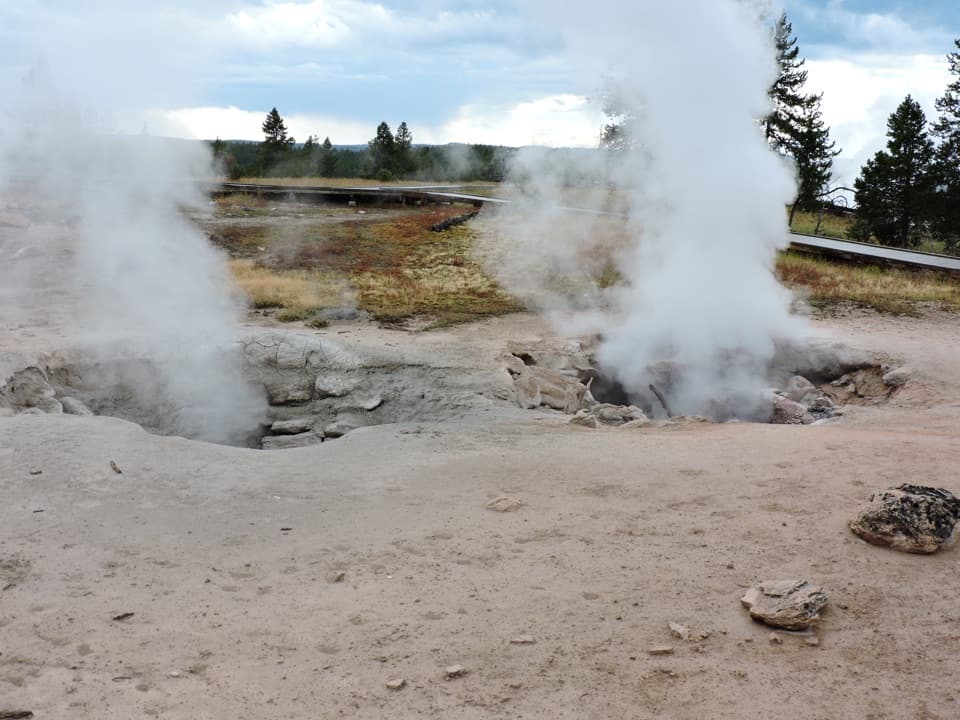 EasyFountain Paint Pot Trail0.6 mi · 38 min · 1.9 mi awayMud bubbles, geysers and steam, packed into one short loop.
 EasyMidway Geyser Basin Trail0.7 mi · 45 min · 2.7 mi awayA compact boardwalk loop to a giant spring and a blue crater.
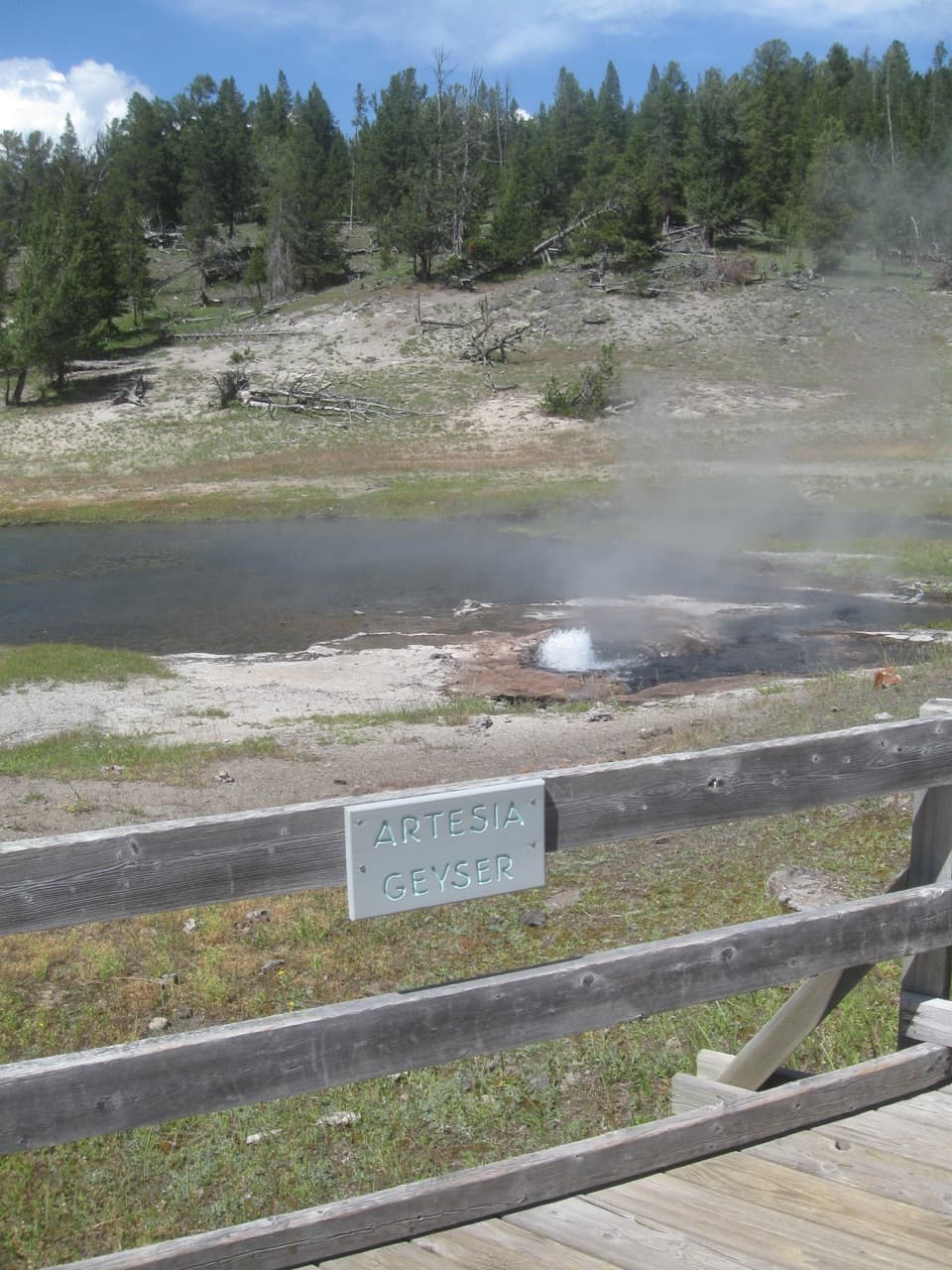 EasyThree Senses Nature Trail0.2 mi · 12 min · 2.9 mi awayA quick boardwalk stop beside Artesia Geyser
 EasyGrand Prismatic Overlook Trail1.6 mi · 1.5 hr · 3.6 mi awayA short climb to see Grand Prismatic from above
 EasyFairy Falls Trail4.5 mi · 3 hr · 3.6 mi awayAn easy forest walk to a 200-foot waterfall.
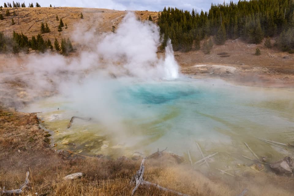 EasyImperial Geyser Trail6.6 mi · 4 hr · 3.6 mi awayA forest walk to a 200-foot waterfall and two active geysers.
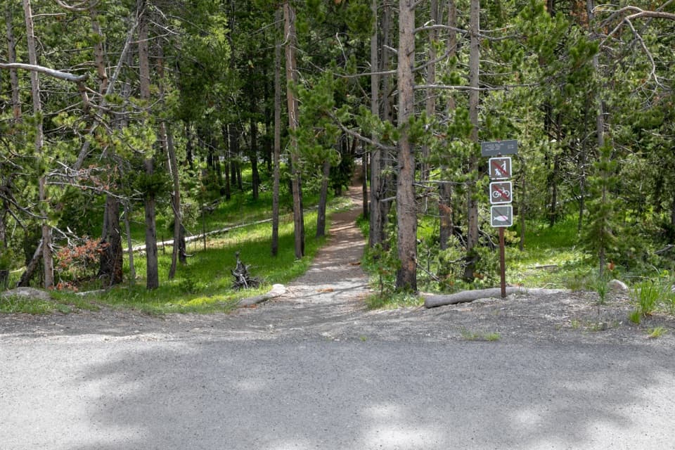 ModerateMallard Creek Trail8.6 mi · 4.5 hr · 4.2 mi awayBurned woods, rocky climbs, and a high outcrop above Mallard Lake.
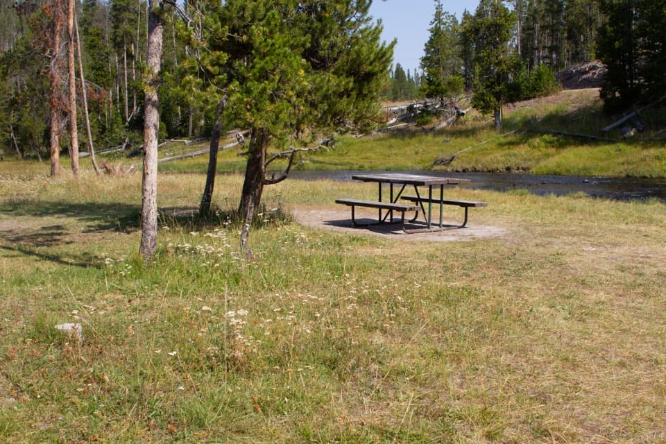 Picnic area · 0.8 mi awayNez Perce Picnic AreaA shaded riverside picnic stop near Old Faithful.Sight · 1.8 mi awayFountain Paint PotThe mudpot is the star; the boardwalk adds three more thermal types.
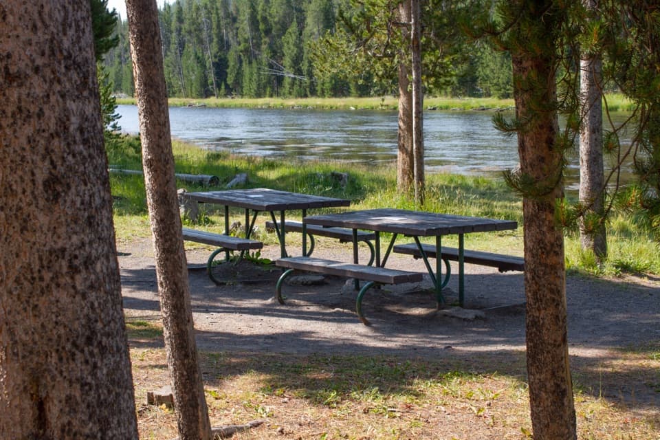 Picnic area · 1.8 mi awayFirehole River Picnic AreaPause by the Firehole where geothermal water warms the river.
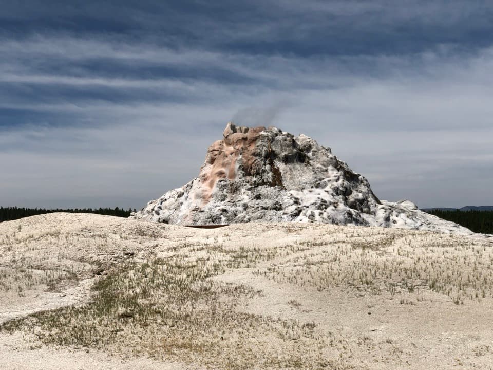 Sight · 2.5 mi awayWhite Dome GeyserThe cone is the main show; an eruption is a bonus.
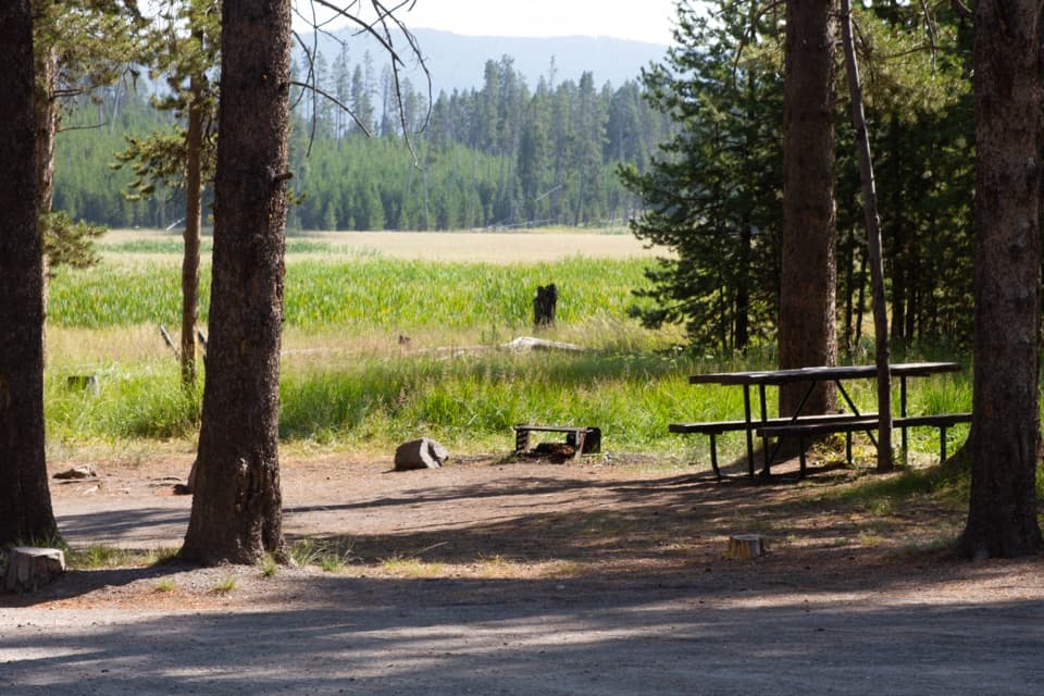 Picnic area · 2.5 mi awayWhiskey Flat Picnic AreaA meadow-side picnic break where bison sometimes pass.
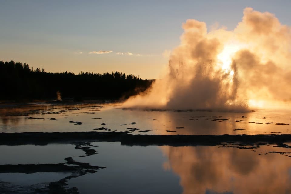 Sight · 2.7 mi awayGreat Fountain GeyserIts long, multi-burst eruptions reward a flexible wait.
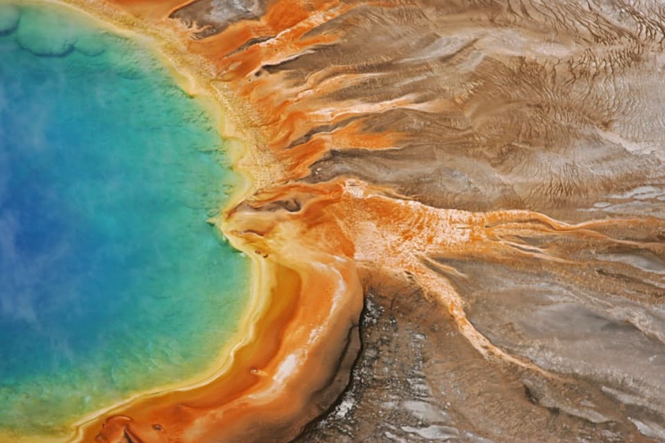 Sight · 2.9 mi awayGrand Prismatic SpringThe overlook turns a vivid close-up into a full ring of color.Sight · 3.2 mi awayImperial GeyserThe blue geyser pool adds 1.2 miles beyond Fairy Falls.
Parkwolf’s Yellowstone ranking

The audio tour guide for the drive, plus offline maps, trails, and wildlife heatmaps for when the signal drops.


