Parking
Park at the end of Fountain Flats Drive, then cross the Firehole River bridge to the trail.
Yellowstone National Park, WY · MT · ID
A meadow walk to Queen’s Laundry and its 1881 bathhouse
Overview
Map & elevation
Plan your hike

The highest, rockiest slopes around here are a summer buffet for grizzly bears.
Yellowstone Tour Guide
Parkwolf is a GPS audio tour guide for Yellowstone National Park. As you drive, it chimes in with what’s ahead: hidden gems, upcoming stops, history, geology, and wildlife, right through your car’s speakers.
See the Yellowstone audio tourRecorded for this trailhead
Fountain Flats Freight Road“You're coming up on the end of Fountain Flats Drive, the start of a mostly level old freight road through open thermal country. For a short walk, Ojo Caliente Springs is about a third of a mile along.”
Plays as you drive up to this trailhead in the Parkwolf Yellowstone Tour Guide.
More stories near here in the app
“First time driving through a national park. We used the Yellowstone tour on grand loop Road and it’s just like having a tour guide in your car with you.”


Trail guide
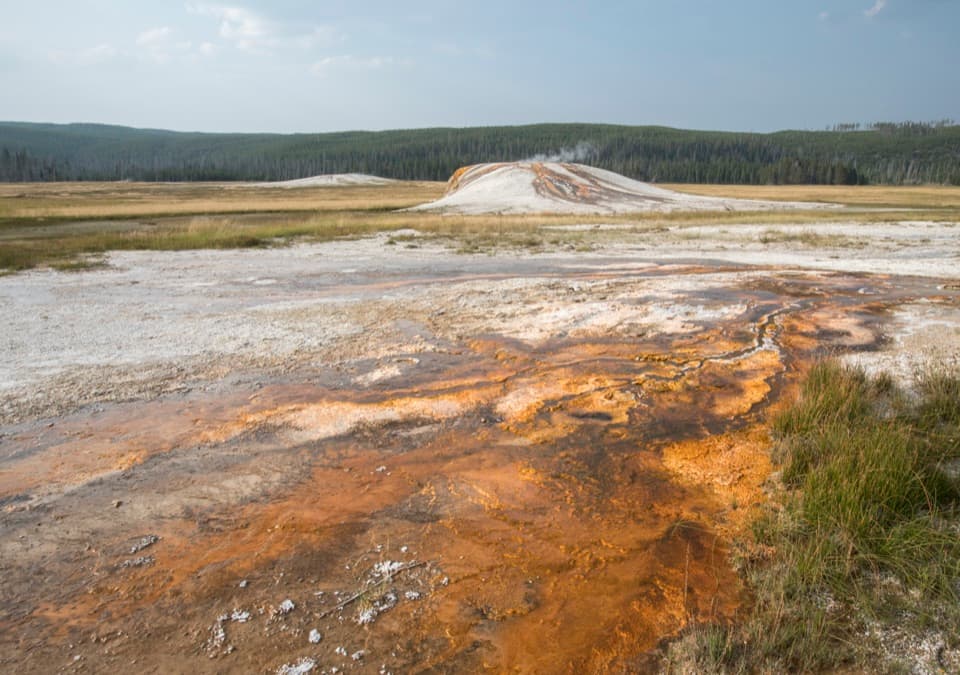
Sentinel Meadows & Queen’s Laundry is an out-and-back through open meadow and thermal ground in Yellowstone’s Lower Geyser Basin. The National Park Service lists it at 3.8 miles round trip and 2–4 hours, starting at the end of Fountain Flats Drive. The NPS-surveyed path we could verify covers about 1.6 miles to a meadow junction; it stops about 0.3 mile from the mapped bathhouse, and no official connector for that last stretch turned up. Treat the listed mileage as the NPS itinerary, but don’t cross open thermal ground to make the line meet the ruins.
Cross the Firehole River, follow it briefly, then turn into broad, wet meadows dotted with steaming sinter mounds. The path can be hard to pick out across marshy ground. Take your time at the junctions and stay on the marked tread; off-trail walking in hydrothermal areas is prohibited.
The unfinished bathhouse was started in 1881 and abandoned as park priorities changed. Hot-spring minerals helped preserve its remains. The NPS describes it as the first government-built structure intended for public use in a national park, and recognizes the site as a National Historic Site. The trail’s appeal is the contrast between that bit of park history and the open, steaming meadow around it.
Park at the end of Fountain Flats Drive and cross the bridge over the Firehole. This is an easy-to-moderate walk rather than a boardwalk basin; expect uneven, marshy ground. Pets aren’t allowed. There’s no activity fee, though Yellowstone’s entrance fee may apply.
Wildlife
 713 sightingsGrizzly BearMost seen around 6 AMSighting map
 743 sightingsWolfMost seen around 6 AMSighting map
 5,273 sightingsBisonMost seen around 7 AMSighting map
 3,258 sightingsElkMost seen around 7 PMSighting map
 397 sightingsMooseMost seen around 7 PMSighting map
 1,494 sightingsBlack BearMost seen around 7 PMSighting map
Sighting maps show where each species has been reported across Yellowstone. Wildlife moves, so no sighting is guaranteed.
Keep exploring
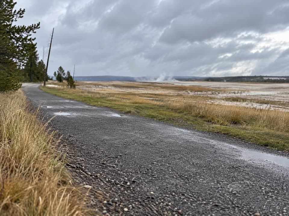 EasyFountain Freight Road Trail4 mi · 2.5 hr · 0.4 mi awayA level old-road walk past hot springs, river, meadows, and a lake.
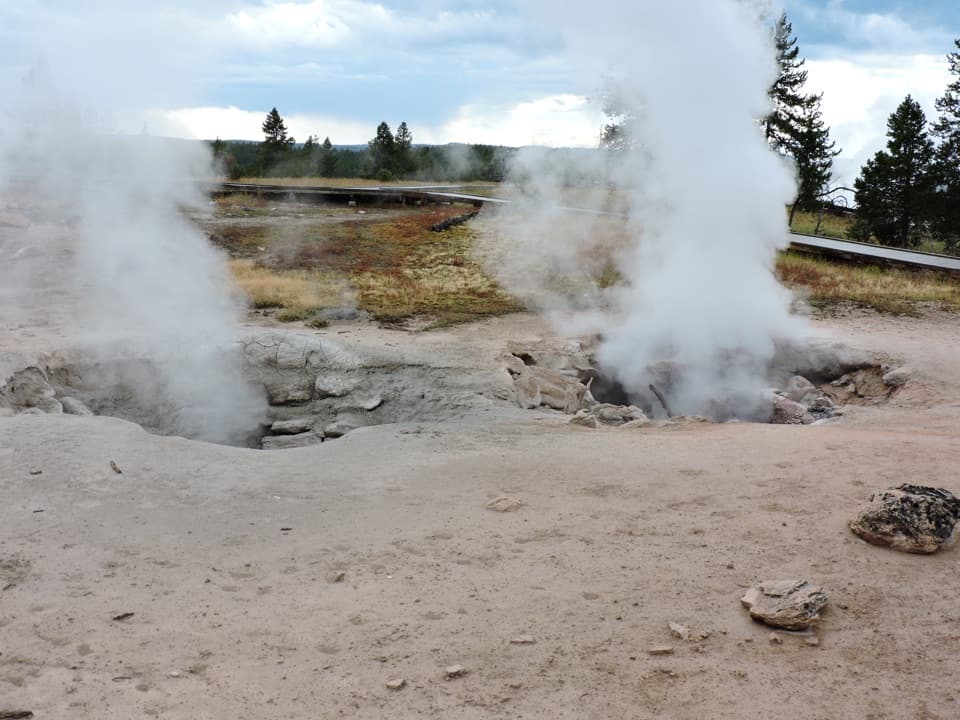 EasyFountain Paint Pot Trail0.6 mi · 38 min · 1.8 mi awayMud bubbles, geysers and steam, packed into one short loop.
 EasyMidway Geyser Basin Trail0.7 mi · 45 min · 2.3 mi awayA compact boardwalk loop to a giant spring and a blue crater.
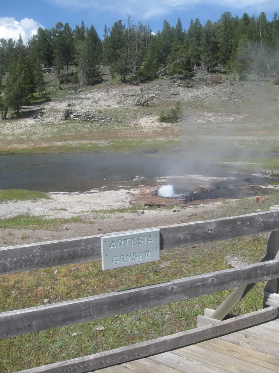 EasyThree Senses Nature Trail0.2 mi · 12 min · 2.9 mi awayA quick boardwalk stop beside Artesia Geyser
 EasyGrand Prismatic Overlook Trail1.6 mi · 1.5 hr · 3.2 mi awayA short climb to see Grand Prismatic from above
 EasyFairy Falls Trail4.5 mi · 3 hr · 3.2 mi awayAn easy forest walk to a 200-foot waterfall.
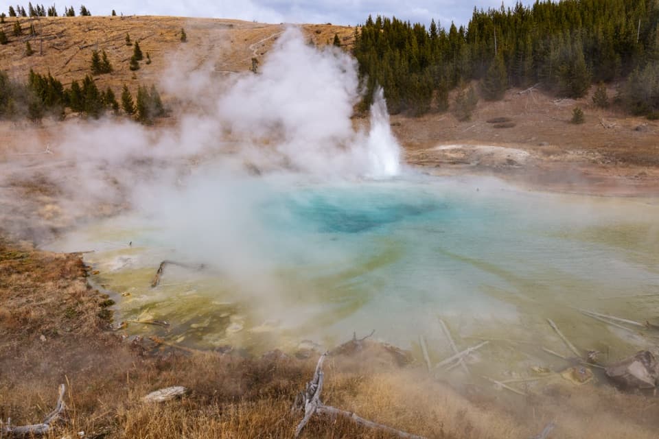 EasyImperial Geyser Trail6.6 mi · 4 hr · 3.2 mi awayA forest walk to a 200-foot waterfall and two active geysers.
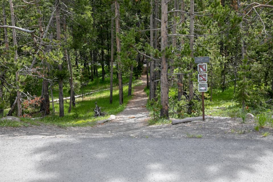 ModerateMallard Creek Trail8.6 mi · 4.5 hr · 3.8 mi awayBurned woods, rocky climbs, and a high outcrop above Mallard Lake.
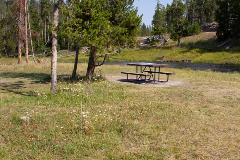 Picnic area · 1.2 mi awayNez Perce Picnic AreaA shaded riverside picnic stop near Old Faithful.Sight · 1.8 mi awayFountain Paint PotThe mudpot is the star; the boardwalk adds three more thermal types.
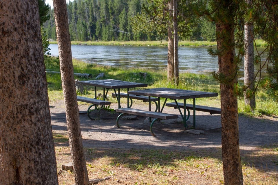 Picnic area · 2.2 mi awayFirehole River Picnic AreaPause by the Firehole where geothermal water warms the river.
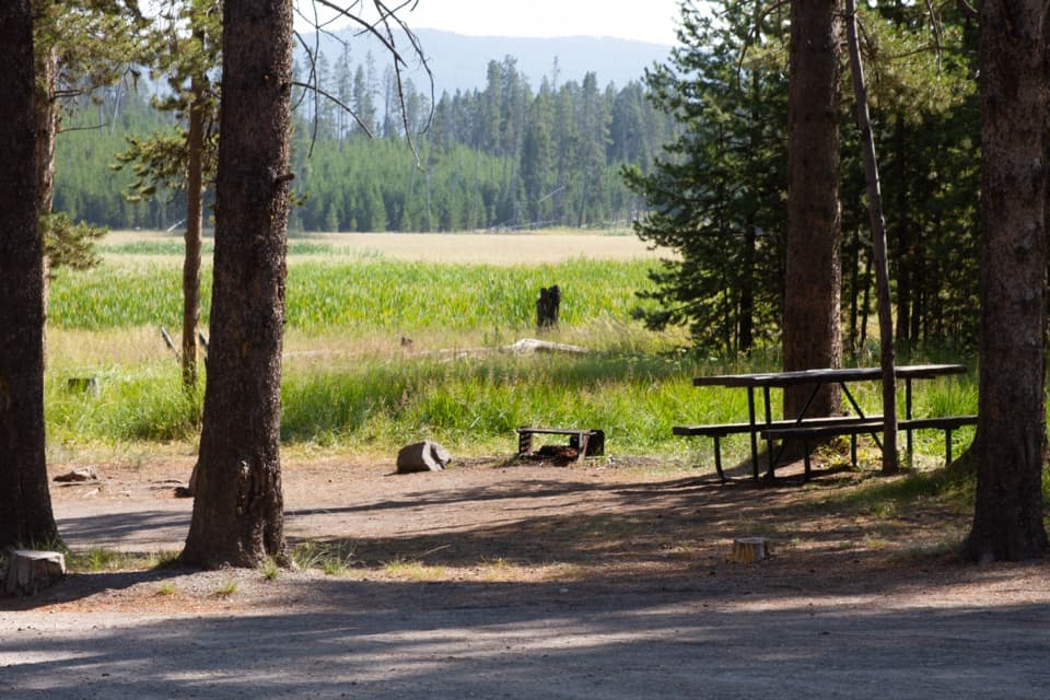 Picnic area · 2.2 mi awayWhiskey Flat Picnic AreaA meadow-side picnic break where bison sometimes pass.
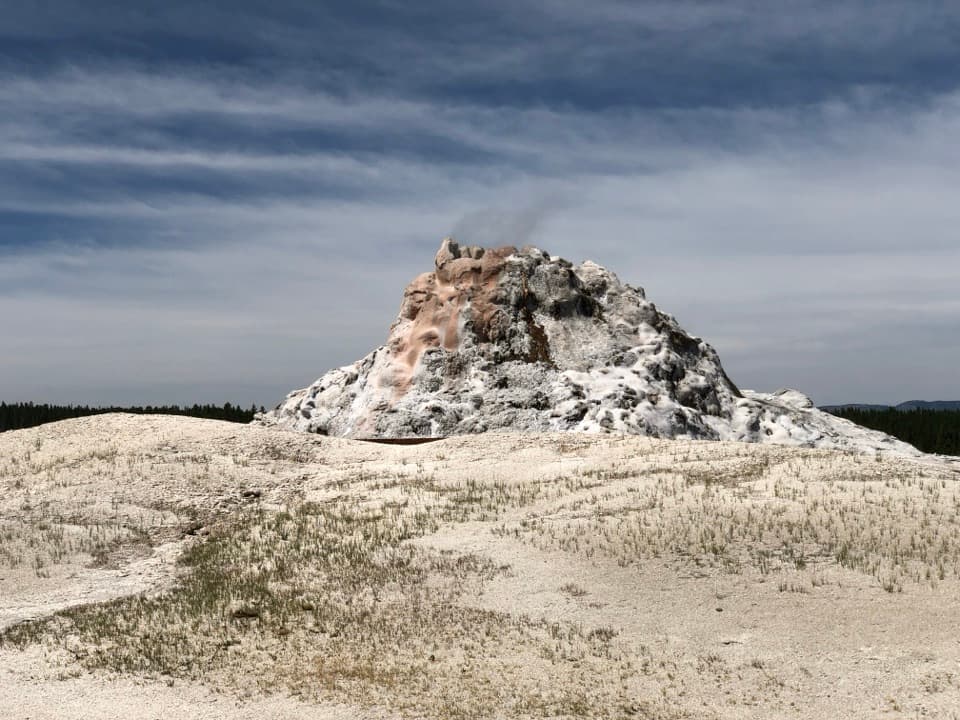 Sight · 2.4 mi awayWhite Dome GeyserThe cone is the main show; an eruption is a bonus.
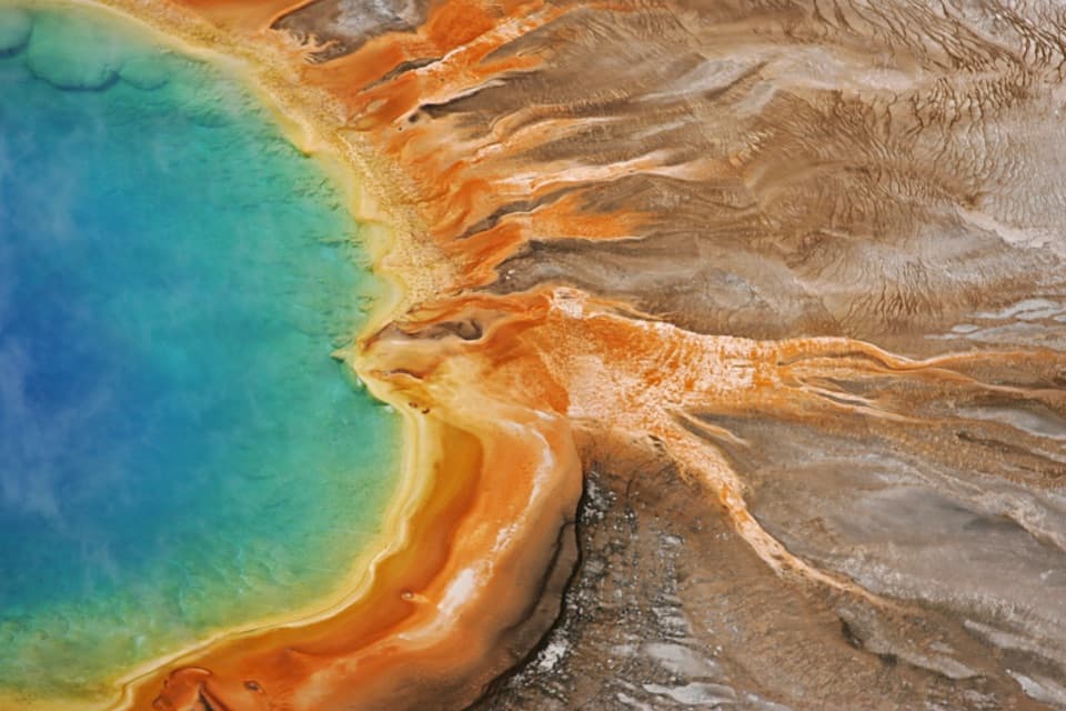 Sight · 2.6 mi awayGrand Prismatic SpringThe overlook turns a vivid close-up into a full ring of color.
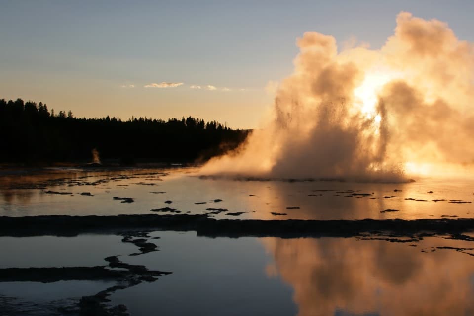 Sight · 2.6 mi awayGreat Fountain GeyserIts long, multi-burst eruptions reward a flexible wait.Sight · 2.8 mi awayImperial GeyserThe blue geyser pool adds 1.2 miles beyond Fairy Falls.
Parkwolf’s Yellowstone ranking

The audio tour guide for the drive, plus offline maps, trails, and wildlife heatmaps for when the signal drops.


