Parking
Start at Heart Lake Trailhead (8N1) off the South Entrance Road. The trailhead has an information kiosk and vault toilet; its parking capacity and fee were not found.
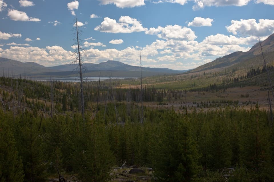
Yellowstone National Park, WY · MT · ID
A long day reaches a lake below Mount Sheridan.
Overview
Map & elevation
Plan your hike

The highest, rockiest slopes around here are a summer buffet for grizzly bears.
Yellowstone Tour Guide
Parkwolf is a GPS audio tour guide for Yellowstone National Park. As you drive, it chimes in with what’s ahead: hidden gems, upcoming stops, history, geology, and wildlife, right through your car’s speakers.
See the Yellowstone audio tourRecorded for this trailhead
Heart Lake and Lewis River Channel“You're approaching the Heart Lake trailhead, for a full-day walk to a backcountry lake beneath Mount Sheridan.”
Plays as you drive up to this trailhead in the Parkwolf Yellowstone Tour Guide.
More stories near here in the app
“First time driving through a national park. We used the Yellowstone tour on grand loop Road and it’s just like having a tour guide in your car with you.”


Trail guide
Heart Lake Trail is an out-and-back through Yellowstone’s southern backcountry, from Heart Lake Trailhead (8N1) to the northwest shore of Heart Lake. The route climbs gently for much of the way, then drops through a geothermal basin to the water. It is a long, remote walk, not a quick viewpoint stop. The mapped line runs about 7.75 miles each way. The trailhead description gives about 7.2 miles to the lake, while trip accounts describe 7.5 to 8; this record uses 15.5 miles round trip to match the mapped approach. Allow about nine hours and turn around if your pace or daylight makes the full return a stretch.
The first 5.5 miles climb through a mix of burned forest, surviving groves and young trees returning after the 1988 fires. It is a gradual start, but the distance accumulates before the lake even comes into view. One hiker account found mosquitoes worst in this wooded stretch, so bring repellent when insects are active.
Around 5.5 miles in, the trail reaches a ridge with a couple of small hot springs and the first view of Heart Lake below. The water looks close from here; it is still roughly two miles away. This is the best early place to pause and take in the basin. For a photo, frame the lake with the geothermal ground in the foreground, but stay on firm, established tread.
Past the ridge, the route descends and switchbacks across Witch Creek, which is warmed by nearby geothermal activity. It then winds through trees, meadows and hot-spring ground toward the shore. The basin’s alkaline pools have drawn researchers studying microbial life. Their crust can be dangerously thin: stay on the trail and never cross thermal ground to shorten the route or get a closer look.
The route reaches the lake’s northwest shore beneath Mount Sheridan, a 10,313-foot peak in the Red Mountains. The shoreline is the turnaround for this day hike. The named corridor continues beyond the lake to the South Boundary Trail junction; its full through-route is 17.4 miles one way, a separate backcountry itinerary rather than the return trip mapped here.
Heart Lake Trail is closed every year from April 1 through June 30 because of bear activity. Park rules call for hiking in groups of three or more, staying together and remaining on established trails; carry bear spray. Pets are not allowed. An overnight camp requires a backcountry permit. Start at Heart Lake Trailhead (8N1) off the South Entrance Road; the trailhead has an information kiosk and vault toilet. Food service and potable water were not listed, so arrive with what you need for a full day.
Wildlife
 713 sightingsGrizzly BearMost seen around 6 AMSighting map
 743 sightingsWolfMost seen around 6 AMSighting map
 5,273 sightingsBisonMost seen around 7 AMSighting map
 3,258 sightingsElkMost seen around 7 PMSighting map
 397 sightingsMooseMost seen around 7 PMSighting map
 1,494 sightingsBlack BearMost seen around 7 PMSighting map
Sighting maps show where each species has been reported across Yellowstone. Wildlife moves, so no sighting is guaranteed.
Keep exploring
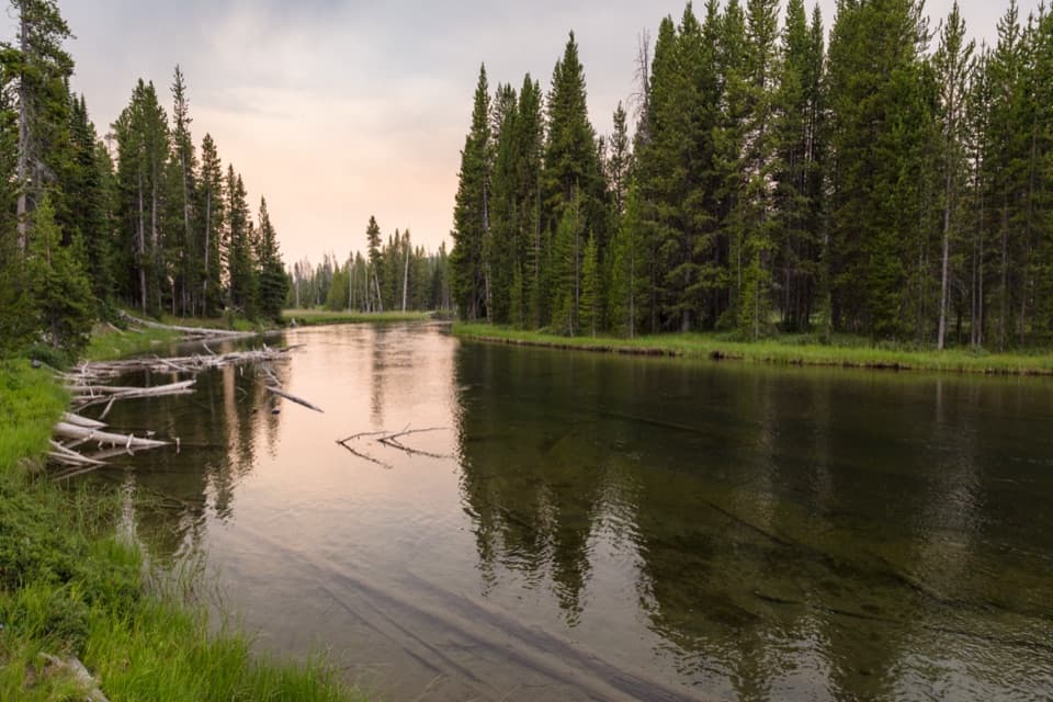 ModerateLewis River Channel/Dogshead Trail10.8 mi · 6.5 hr · 0.2 mi awayTwo lakes and a river channel, with little climbing.
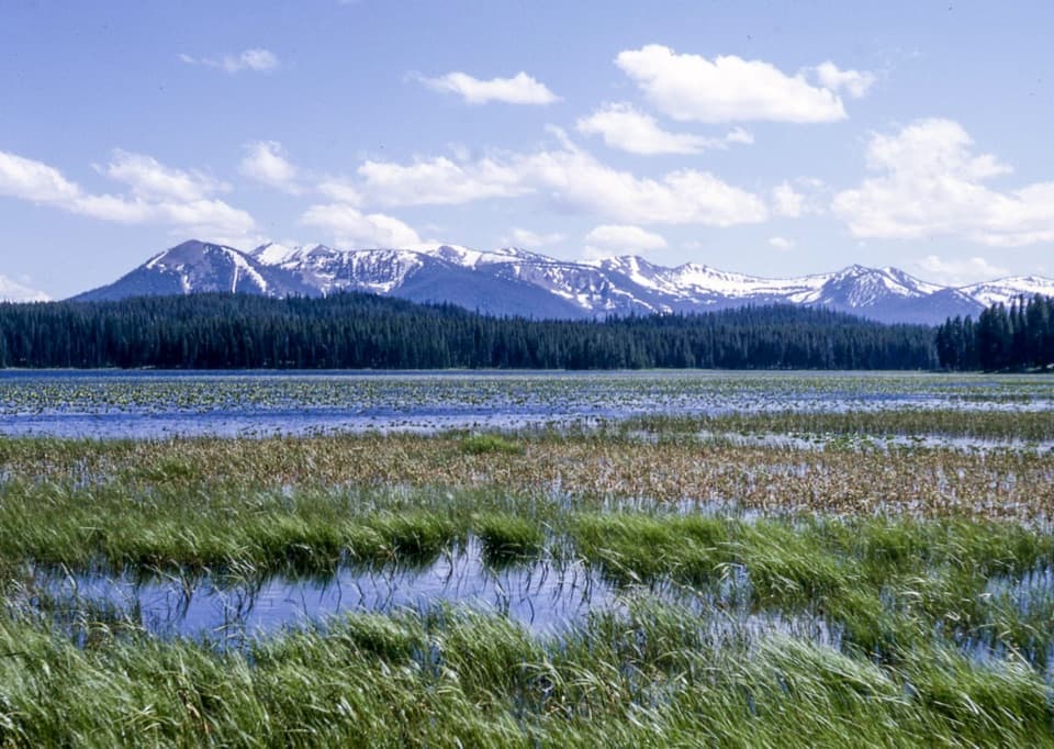 EasyRiddle Lake Trail4.8 mi · 2.5 hr · 2.9 mi awayA mostly level walk to lily pads and Mount Sheridan views.
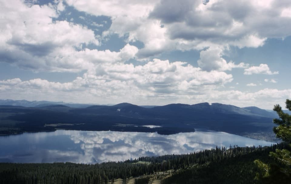 ChallengingMount Sheridan Trail7.2 mi · 6 hr · 5.4 mi awayHeart Lake and the Tetons spread out below this remote summit.
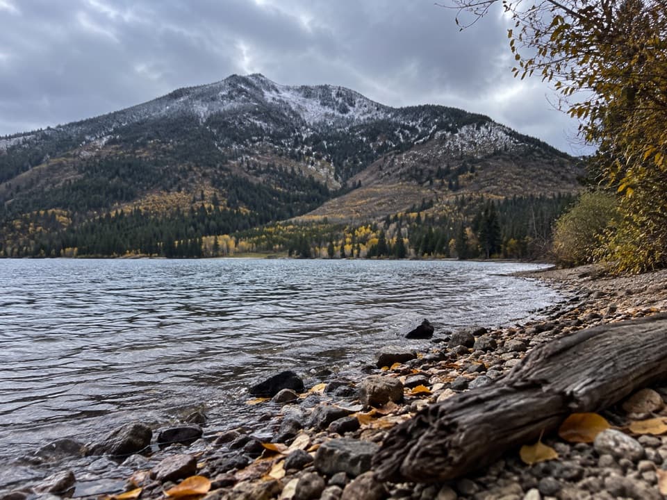 ChallengingTrail Creek Trail21.7 mi · 12 hr · 5.4 mi awayA long backcountry link from Heart Lake to the Thorofare.
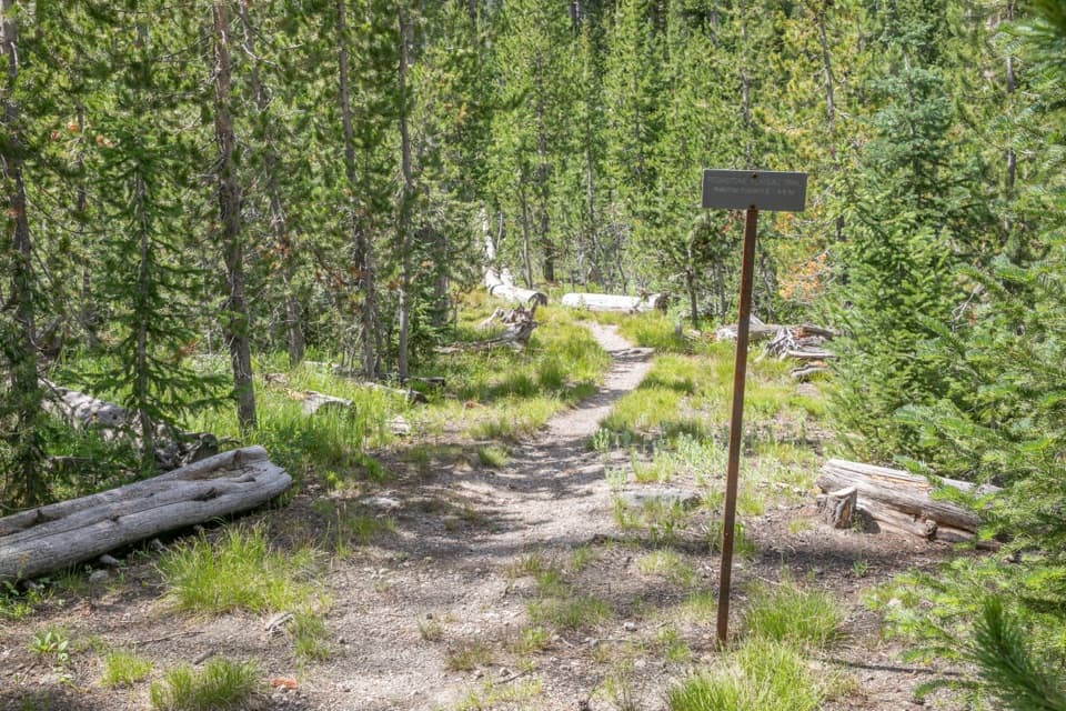 ChallengingPitchstone Plateau Trail16.3 mi · 9 hr · 5.7 mi awayA long point-to-point hike over Yellowstone’s young lava plateau.
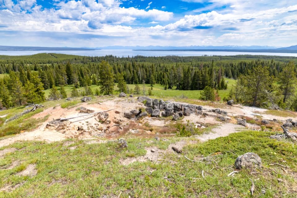 ModerateYellowstone Lake Overlook Trail1.7 mi · 1.5 hr · 6.9 mi awayClimb to a broad lake-and-Absaroka view above West Thumb
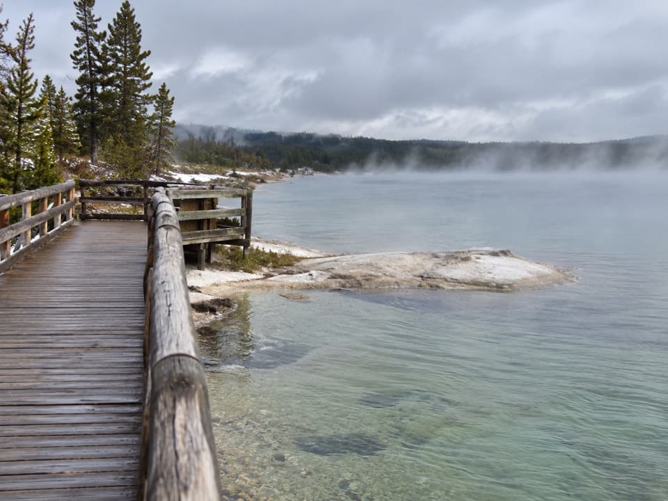 EasyWest Thumb Geyser Basin Trail0.6 mi · 45 min · 6.9 mi awayA short lakeside boardwalk through vivid hot springs and geysers.
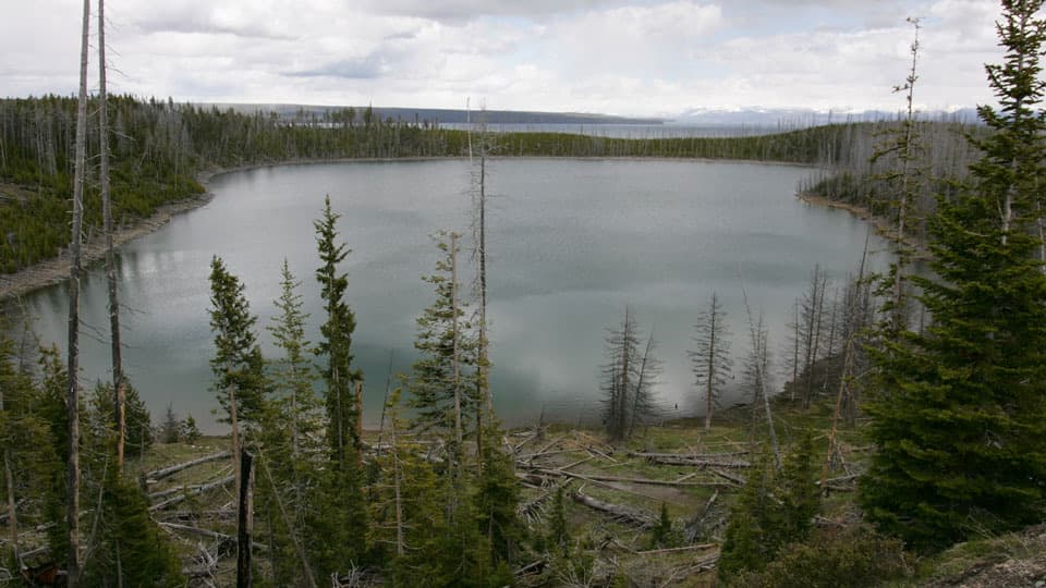 ModerateDuck Lake Trail0.8 mi · 1.5 hr · 7 mi awayA short climb opens views over Duck Lake and the 1988 burn.
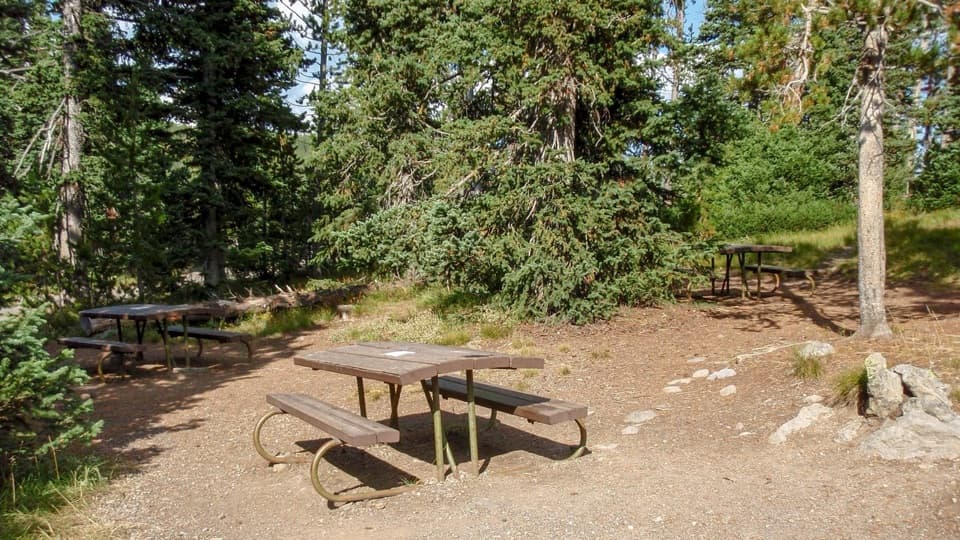 Picnic area · 2.8 mi awayLewis Lake Picnic AreaA convenient picnic stop near Lewis Lake on Yellowstone’s south road.
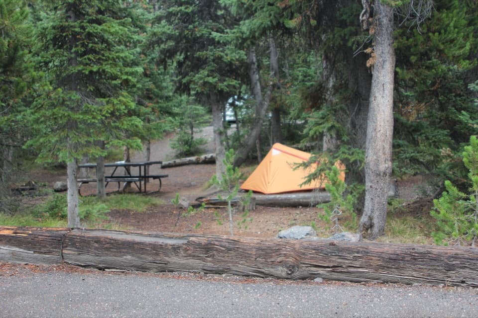 Campground · 2.9 mi awayLewis Lake CampgroundA wooded camp, with a short walk to Lewis Lake.
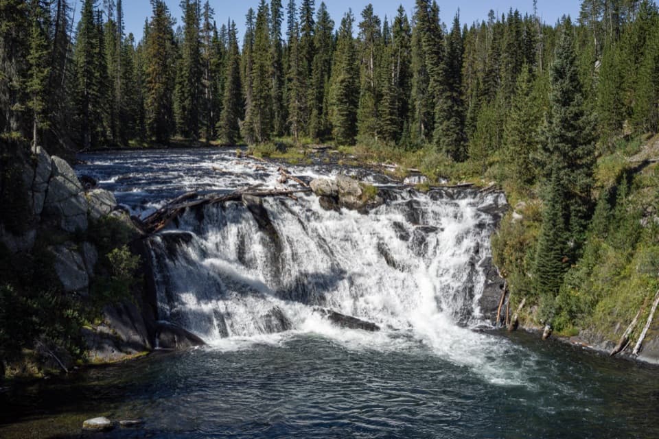 Sight · 4 mi awayLewis FallsA broad, 30-foot cascade that makes an easy roadside pause.
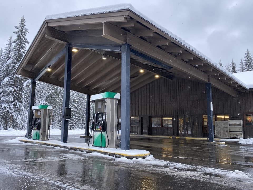 Gas station · 5.3 mi awayGrant Village Gas and Service StationFuel, propane and seasonal repair help on the south shore.
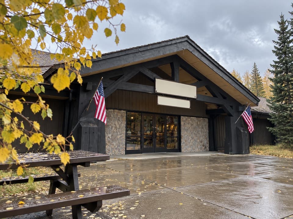 Store · 5.4 mi awayGrant Village General StoreGroceries, camping basics, ice cream, and a grill under one roof.
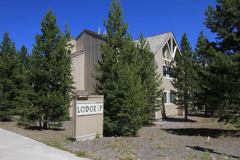 Lodging · 5.4 mi awayGrant Village LodgeSleep near West Thumb, with two restaurants on-site.
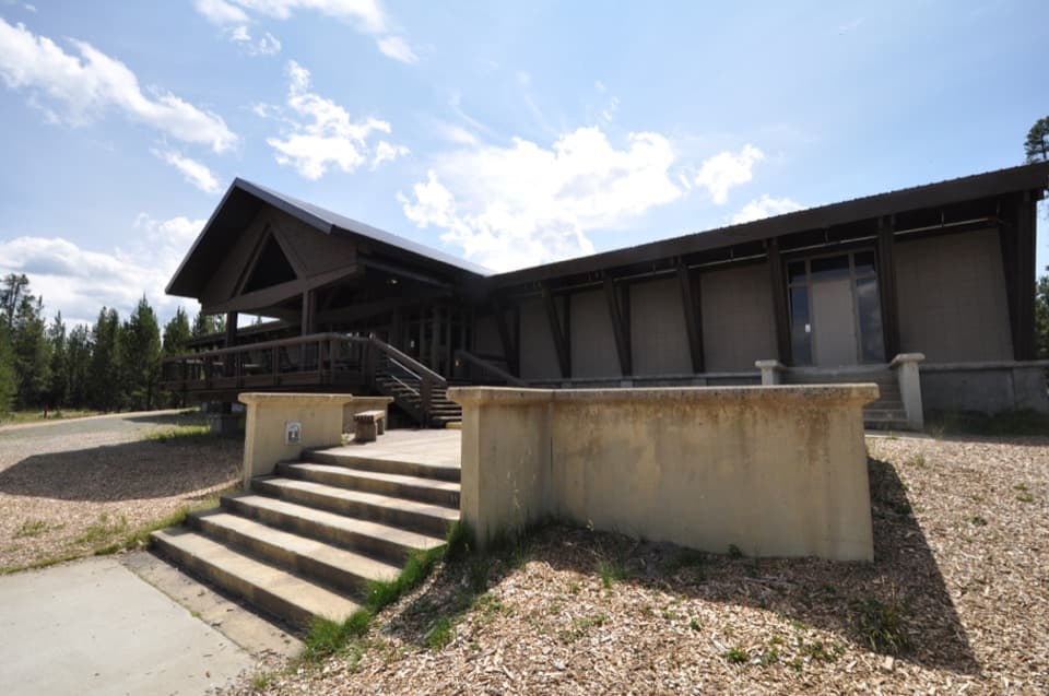 Visitor center · 5.7 mi awayGrant Visitor CenterPark services and a lake view make this a useful southern stop.
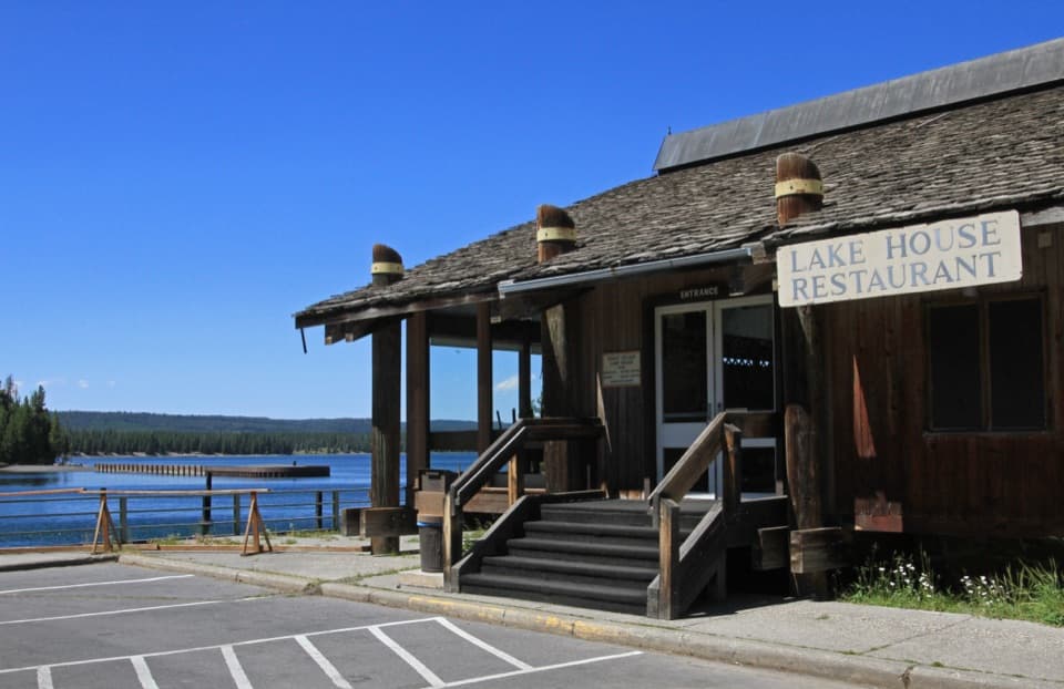 Restaurant · 5.7 mi awayGrant Village Lake House RestaurantA seasonal meal stop with a wide West Thumb view.
Parkwolf’s Yellowstone ranking

The audio tour guide for the drive, plus offline maps, trails, and wildlife heatmaps for when the signal drops.





