Parking
Use Heart Lake Trailhead (8N1), the road-end access. Walk 7.2 miles on Heart Lake Trail to the north shore, where Trail Creek begins.
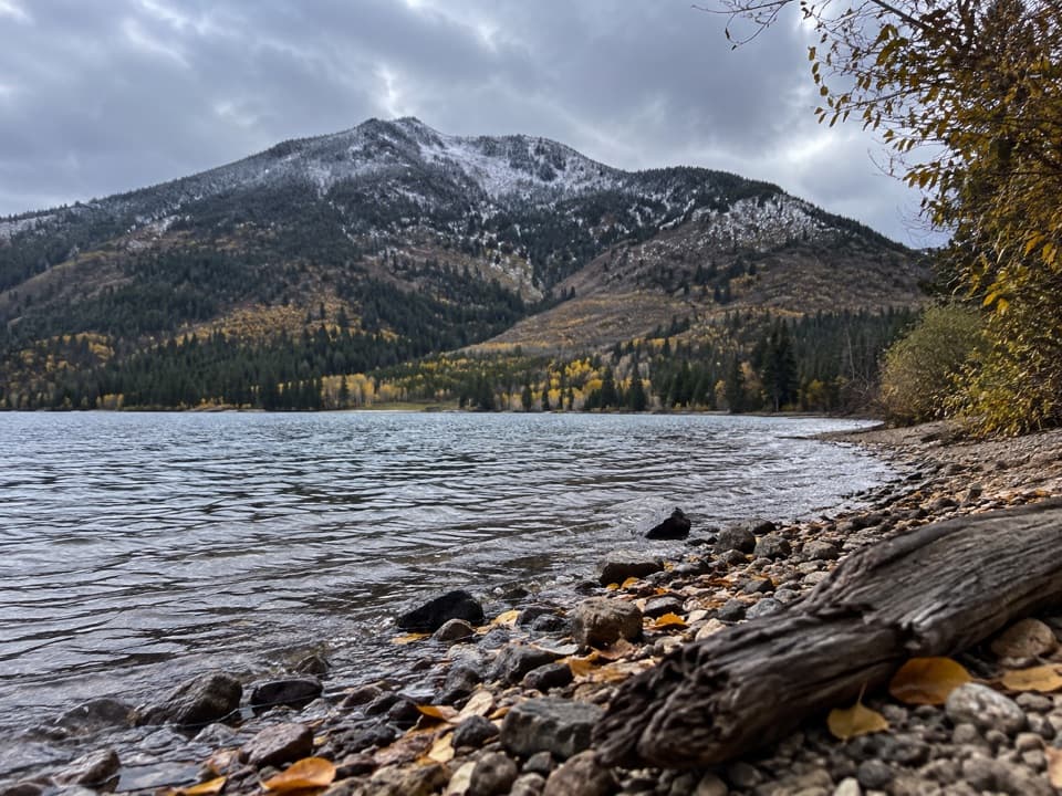
Yellowstone National Park, WY · MT · ID
A long backcountry link from Heart Lake to the Thorofare.
Overview
Map & elevation
Plan your hike

The highest, rockiest slopes around here are a summer buffet for grizzly bears.
Yellowstone Tour Guide
Parkwolf is a GPS audio tour guide for Yellowstone National Park. As you drive, it chimes in with what’s ahead: hidden gems, upcoming stops, history, geology, and wildlife, right through your car’s speakers.
See the Yellowstone audio tourMore stories near here in the app
“First time driving through a national park. We used the Yellowstone tour on grand loop Road and it’s just like having a tour guide in your car with you.”


Trail guide
Trail Creek Trail is a 21.7-mile point-to-point route from Heart Lake’s north shore to the Thorofare Trail junction in Yellowstone’s southeast backcountry. It is a connector for people building a longer trip, not a roadside day hike. Allow about 12 hours for the Trail Creek leg itself; the road approach is a separate commitment.
From the north shore, the line heads east through two narrow valleys, then crosses flatter, marshy ground toward the Yellowstone River valley before meeting the Thorofare Trail. The rocky Heart Lake shore gives the route its clearest view of Mount Sheridan; keep some water and shoreline in the foreground for a sense of scale. Published route descriptions say little about footing, crossings, or how well the tread is marked, so plan for a remote backcountry route and check current conditions before relying on a continuous path.
The Trail Creek start is another 7.2 miles on foot from the road-access Heart Lake Trailhead (8N1), along the separate Heart Lake Trail. The far end joins another backcountry route rather than a road, so plan Trail Creek as one leg of a longer itinerary with a clear exit. Overnight stays require a Yellowstone backcountry permit year-round. Pets are not allowed in the backcountry except qualified service animals. The road-access trailhead has a vault toilet and information kiosk; no facilities were confirmed on Trail Creek itself.
Wildlife
 713 sightingsGrizzly BearMost seen around 6 AMSighting map
 743 sightingsWolfMost seen around 6 AMSighting map
 5,273 sightingsBisonMost seen around 7 AMSighting map
 3,258 sightingsElkMost seen around 7 PMSighting map
 397 sightingsMooseMost seen around 7 PMSighting map
 1,494 sightingsBlack BearMost seen around 7 PMSighting map
Sighting maps show where each species has been reported across Yellowstone. Wildlife moves, so no sighting is guaranteed.
Keep exploring
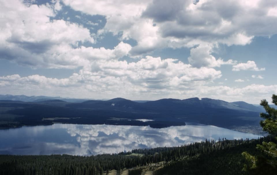 ChallengingMount Sheridan Trail7.2 mi · 6 hr · 0.5 mi awayHeart Lake and the Tetons spread out below this remote summit.
 ModerateHeart River Trail5.8 mi · 3.5 hr · 3.5 mi awayA remote river corridor with several unbridged fords.
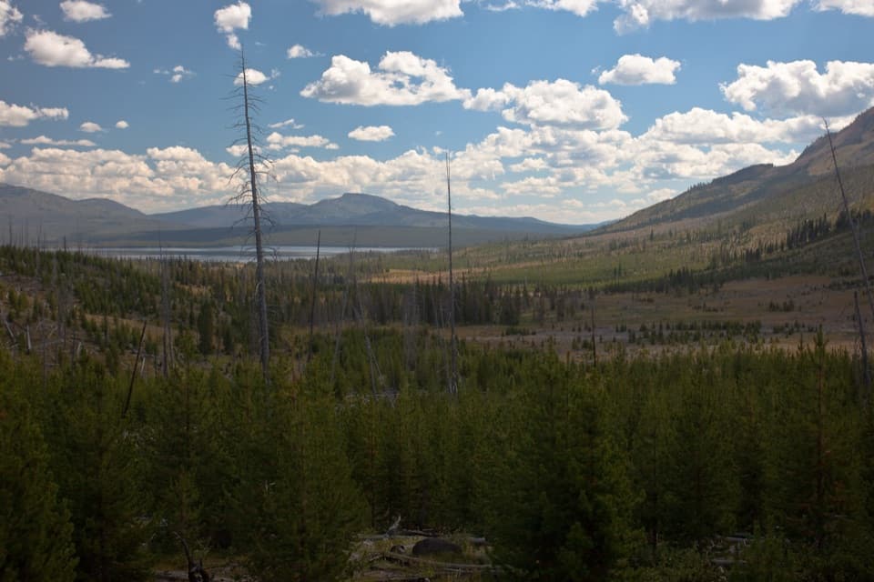 ChallengingHeart Lake Trail15.5 mi · 9 hr · 5.4 mi awayA long day reaches a lake below Mount Sheridan.
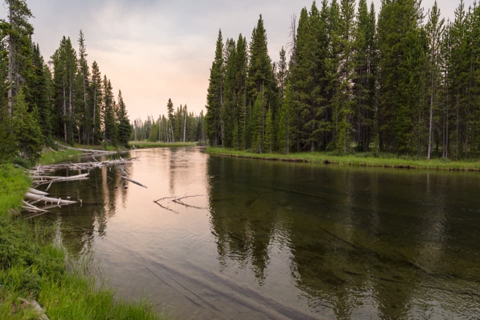 ModerateLewis River Channel/Dogshead Trail10.8 mi · 6.5 hr · 5.6 mi awayTwo lakes and a river channel, with little climbing.
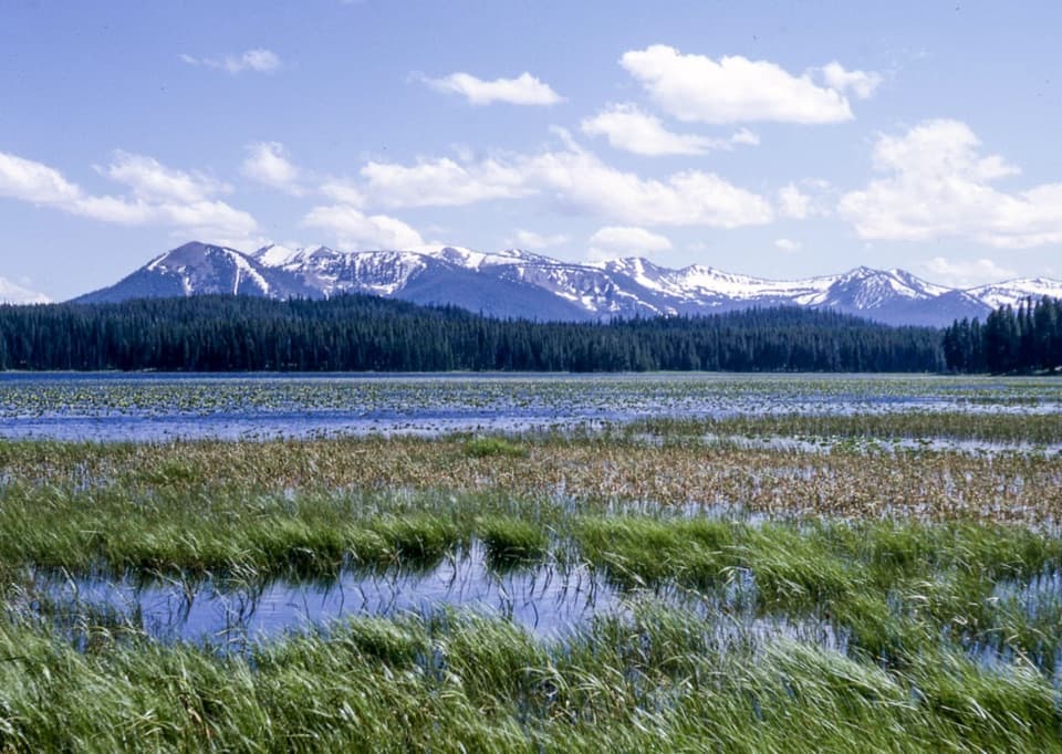 EasyRiddle Lake Trail4.8 mi · 2.5 hr · 6.5 mi awayA mostly level walk to lily pads and Mount Sheridan views.
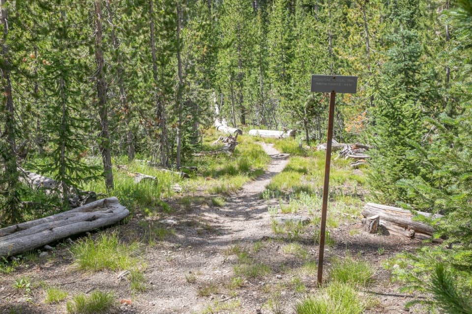 ChallengingPitchstone Plateau Trail16.3 mi · 9 hr · 8 mi awayA long point-to-point hike over Yellowstone’s young lava plateau.
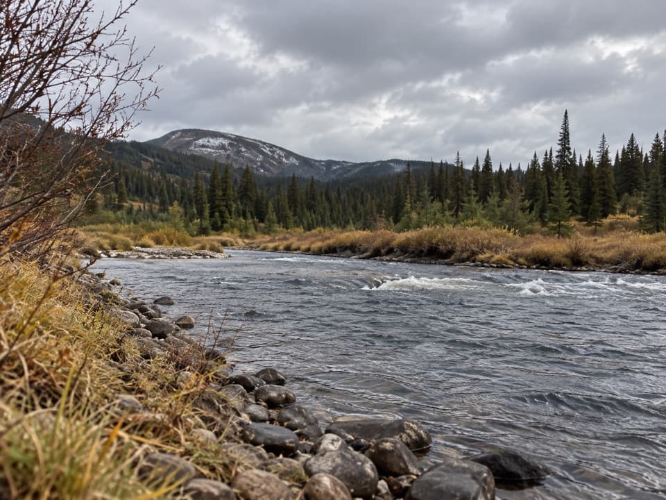 EasySnake River Canyon Trail2.5 mi · 1.5 hr · 8.2 mi awayAn easy river-valley connector in Yellowstone's remote backcountry.
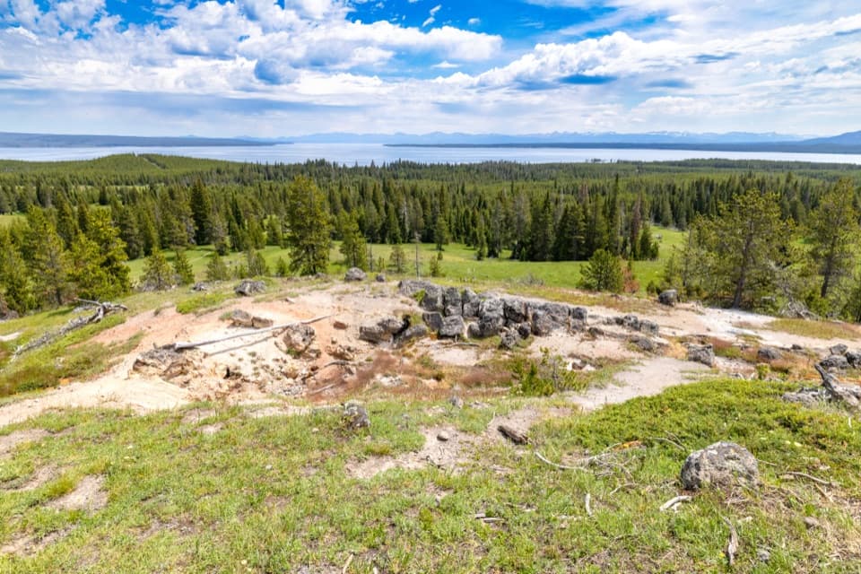 ModerateYellowstone Lake Overlook Trail1.7 mi · 1.5 hr · 9.7 mi awayClimb to a broad lake-and-Absaroka view above West Thumb
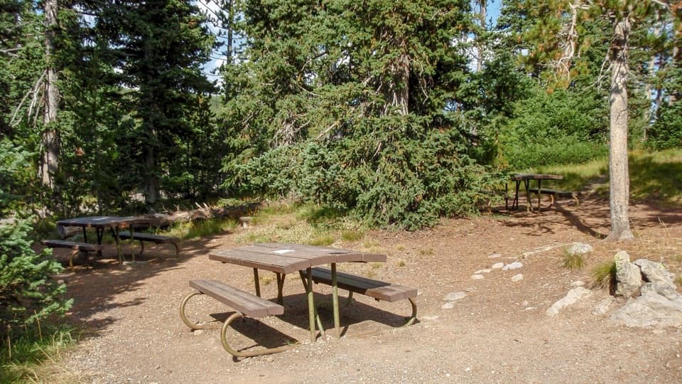 Picnic area · 6.4 mi awayLewis Lake Picnic AreaA convenient picnic stop near Lewis Lake on Yellowstone’s south road.
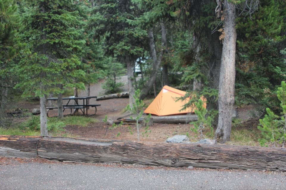 Campground · 6.5 mi awayLewis Lake CampgroundA wooded camp, with a short walk to Lewis Lake.
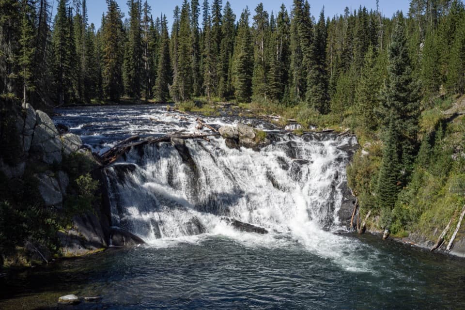 Sight · 7 mi awayLewis FallsA broad, 30-foot cascade that makes an easy roadside pause.
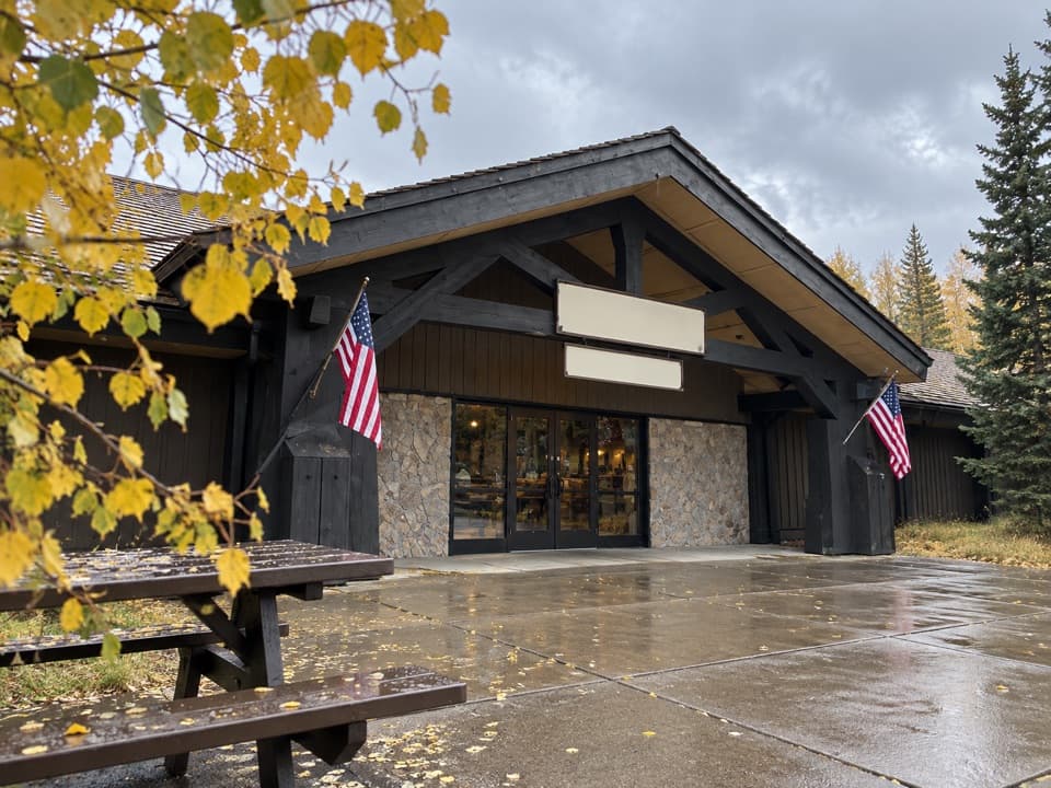 Store · 7.7 mi awayGrant Village General StoreGroceries, camping basics, ice cream, and a grill under one roof.
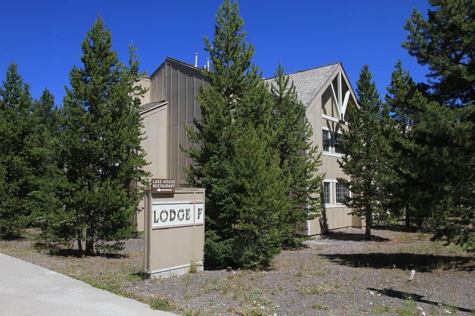 Lodging · 7.7 mi awayGrant Village LodgeSleep near West Thumb, with two restaurants on-site.
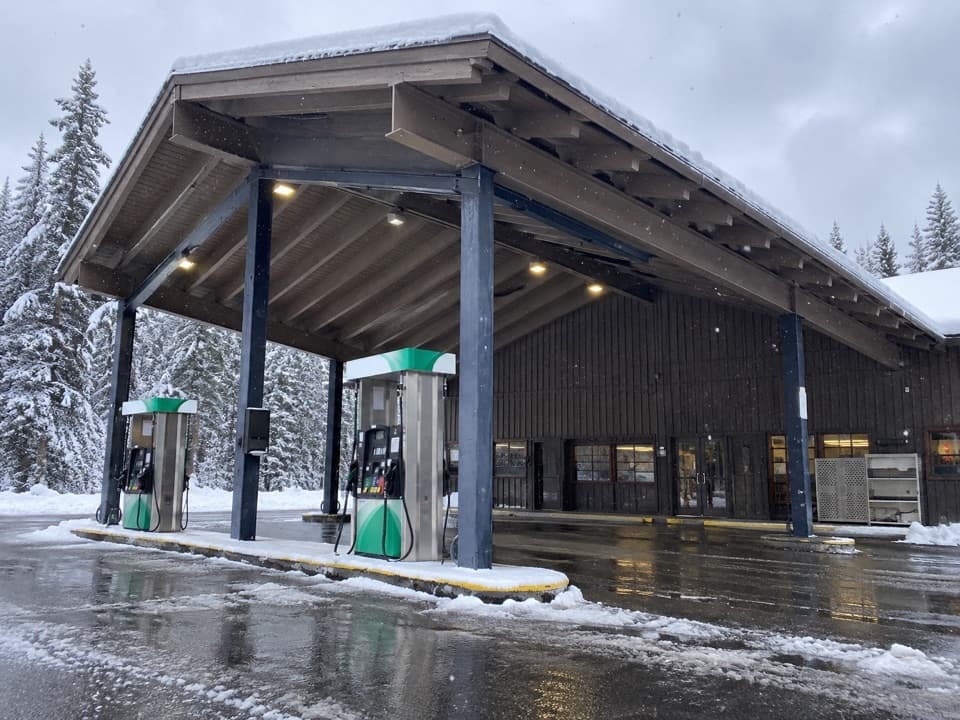 Gas station · 7.8 mi awayGrant Village Gas and Service StationFuel, propane and seasonal repair help on the south shore.
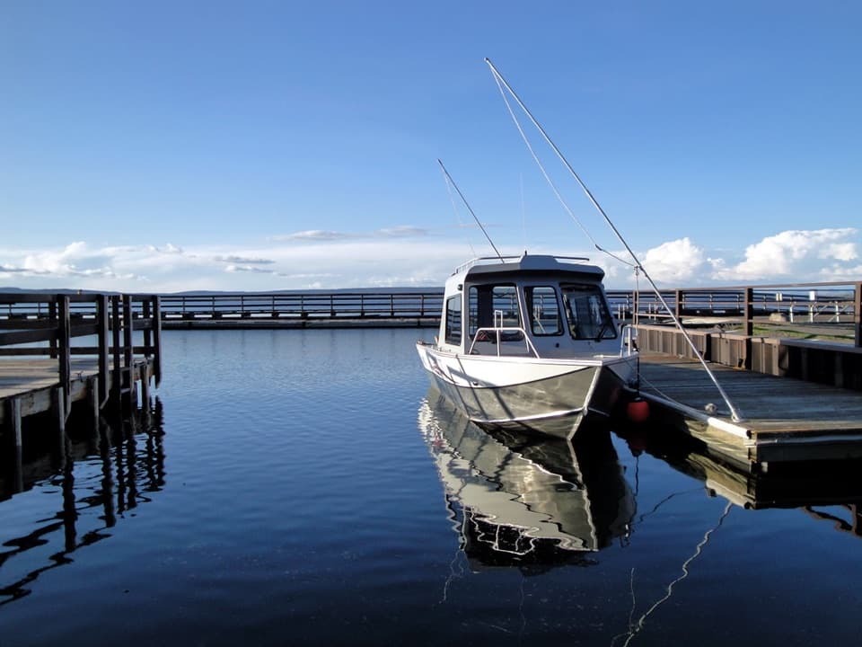 Sight · 7.8 mi awayGrant MarinaThe lake launch for paddling trips out of Grant Village.
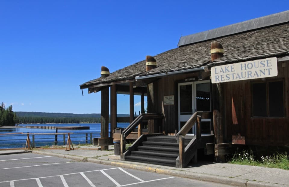 Restaurant · 7.9 mi awayGrant Village Lake House RestaurantA seasonal meal stop with a wide West Thumb view.
Parkwolf’s Yellowstone ranking

The audio tour guide for the drive, plus offline maps, trails, and wildlife heatmaps for when the signal drops.





