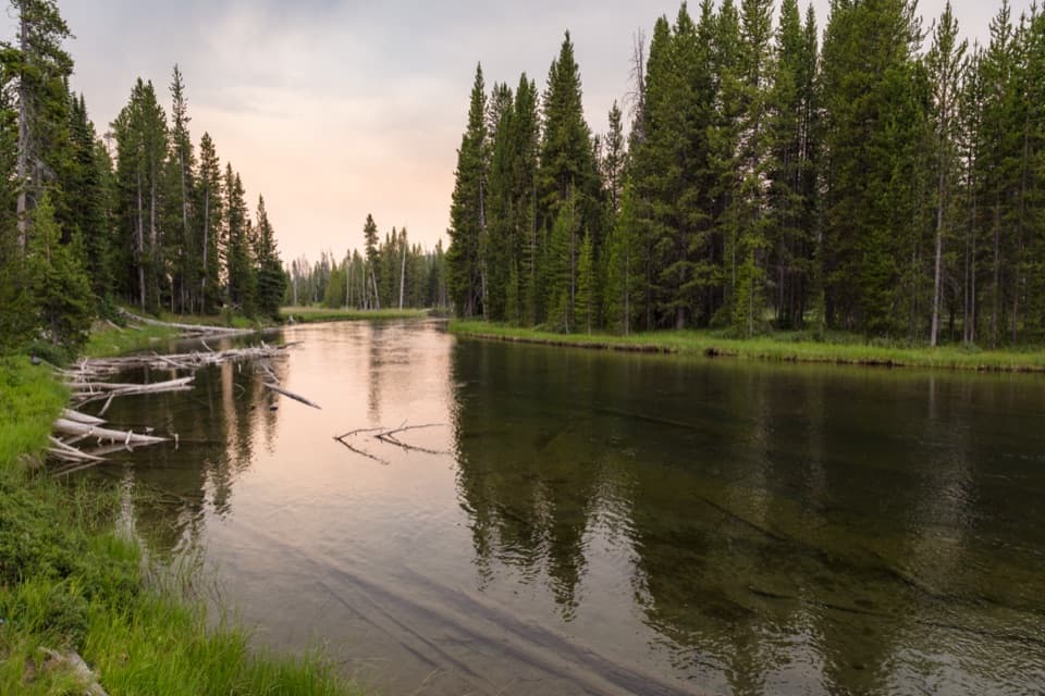
Lewis River Channel/Dogshead Trail in Yellowstone National Park

Yellowstone National Park, WY · MT · ID

Lewis River Channel/Dogshead Trail

Two lakes and a river channel, with little climbing.

Photo: Wikimedia Commons
Length
10.8mi
Time
6.5hr
Elev. change
203ft
Difficulty
Moderate
  • Loop
  • No dogs
  • High point 7,982 ft
  • #59 of 167 in Yellowstone

Hear the audio tour

Heart Lake and Lewis River Channel

Overview

About Lewis River Channel/Dogshead Trail

Why go

  • Clear water, rocky overlooks and two lakes on one loop
  • Very little climbing for a long backcountry day

Heads up

  • About eleven miles with no confirmed food or drinking water on route

Map & elevation

The route

Loading the Yellowstone map
Full map
Elevation7,779–7,982 ft
TrailheadDogshead/Channel Trailhead 8K144.32019, -110.59969
Keep this map with you offline in the Parkwolf app

Plan your hike

Before you go

Parking

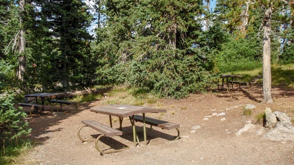
Use the signed Dogshead/Channel Trailhead 8K1 on South Entrance Road, about five miles south of Grant Village and just north of Lewis Lake. The trail entrance is mapped on the west side of the road; a local parking description places the lot on the east, so follow the 8K1 sign rather than a generic map pin. Parking is small, with an information kiosk and vault toilet; capacity and fee were not verified.

Safety

Grizzly bears frequent this area. Carry bear spray where you can reach it quickly, know how to use it, and stay at least 100 yards from bears. There is no confirmed potable water or food service along the roughly 11-mile route.

5 active Yellowstone alerts

  • ClosureBiscuit Basin closed after hydrothermal explosionBiscuit Basin’s parking lot, boardwalk, and Firehole River are closed to all travel.Official details
  • ClosureMost Yellowstone roads close to regular vehicles November 1Most Yellowstone roads and the West, South, and East entrances are scheduled to close to regular vehicles November 1, 2026, as the park prepares for winter operations.Official details
See all 5 alerts
A park ranger sits on a dash-mounted phone, talking, as Parkwolf’s Tour Guide plays “Army Cutworm Moths: A Grizzly Bear Buffet” on Grand Loop Road below Dunraven Pass in Yellowstone
Parkwolf Tour GuideThe highest, rockiest slopes around here are a summer buffet for grizzly bears.

Yellowstone Tour Guide

Hear Yellowstone as you drive it.

Parkwolf is a GPS audio tour guide for Yellowstone National Park. As you drive, it chimes in with what’s ahead: hidden gems, upcoming stops, history, geology, and wildlife, right through your car’s speakers.

See the Yellowstone audio tour

Recorded for this trailhead

Heart Lake and Lewis River Channel
0:00 / 0:30
“You're approaching the Heart Lake trailhead, for a full-day walk to a backcountry lake beneath Mount Sheridan.”

Plays as you drive up to this trailhead in the Parkwolf Yellowstone Tour Guide.

More stories near here in the app

  • The Blue Comes from the Water
  • The Trout People Put Here
  • Riddle Lake Trailhead
  • Lewis Lake Picnic Area
  • 243 audio storiesacross Yellowstone’s roads, triggered by GPS as you drive
  • Wildlife heatmapsfor Wolf, Grizzly Bear, Bison, and 13 more
  • Works offlinemaps, 167 trails, 192 places, and audio download before you lose signal
  • CarPlay readysimple controls built for the drive
★★★★★
“First time driving through a national park. We used the Yellowstone tour on grand loop Road and it’s just like having a tour guide in your car with you.”
Jyg5001App Store review
Download Parkwolf on the App StoreGet Parkwolf on Google Play

4.7 from 8,600+ ratings

Trail guide

Hiking Lewis River Channel/Dogshead Trail

A full day with little climbingThis is a loop of about 10.

This is a loop of about 10.8 miles from Dogshead/Channel Trailhead 8K1, following the Lewis River Channel to the Shoshone Lake outlet and returning through Dogshead. Allow five to eight hours. The tread climbs and drops only about 200 feet, but this is still a long backcountry walk; the connected mapped line measures 10.98 miles. A short spur near the outlet cabin reaches a pebbled Shoshone Lake beach. Walk it out and back before continuing the loop; it is not included in the mapped distance.

Along the Lewis River ChannelThe first stretch moves through forest, crosses a small stream near the first mile and opens…

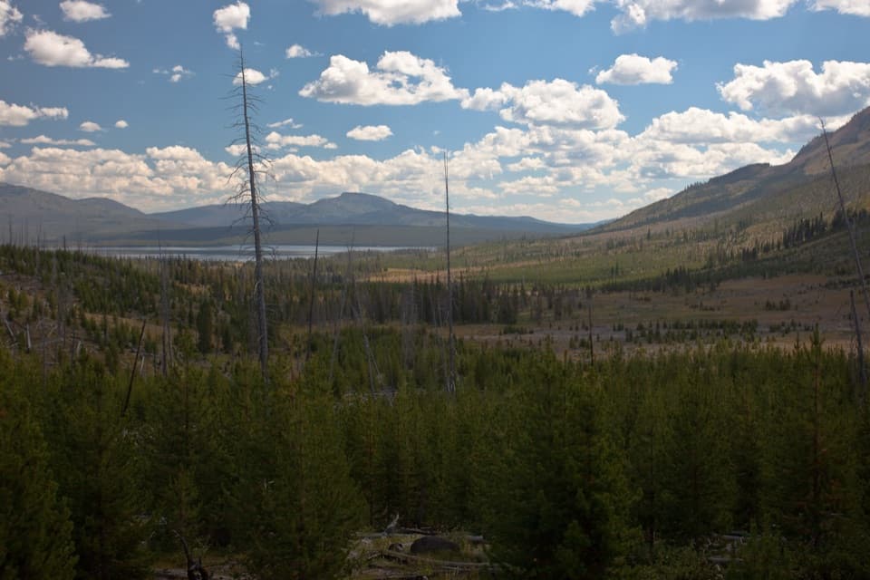
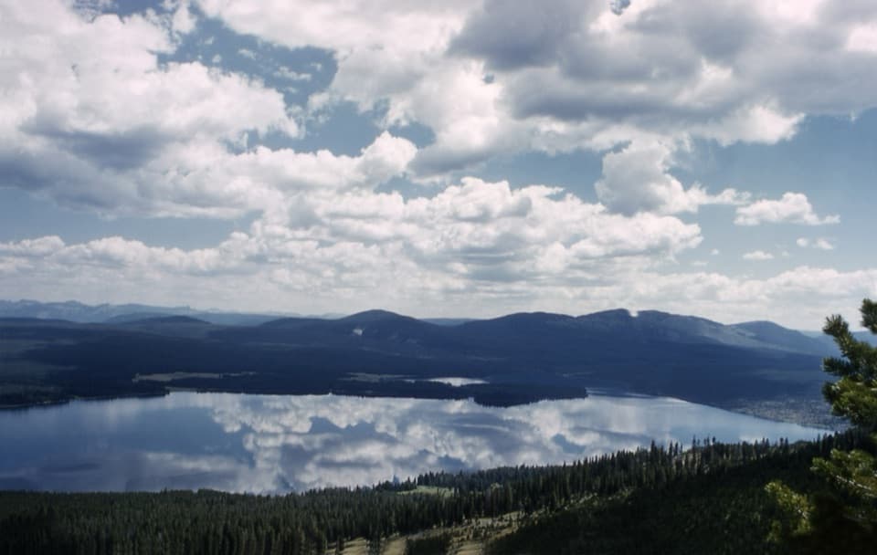
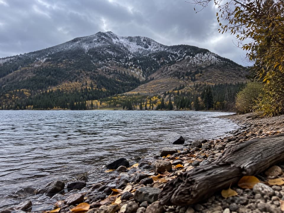
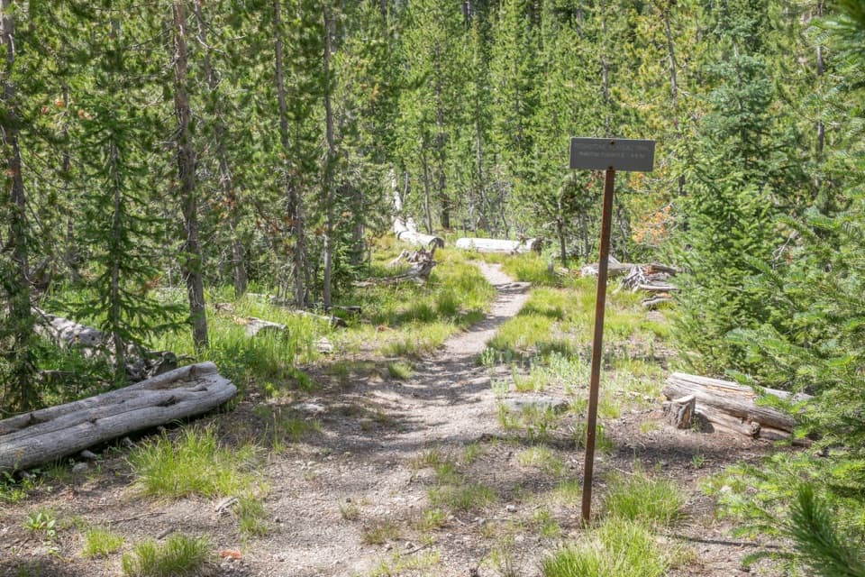
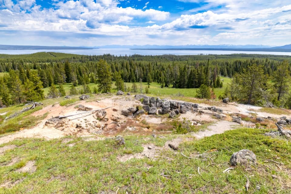
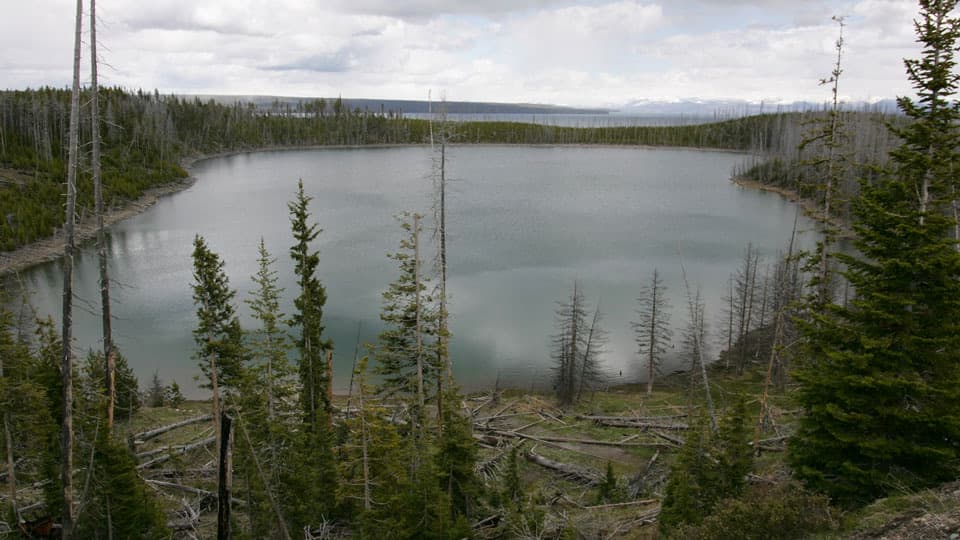
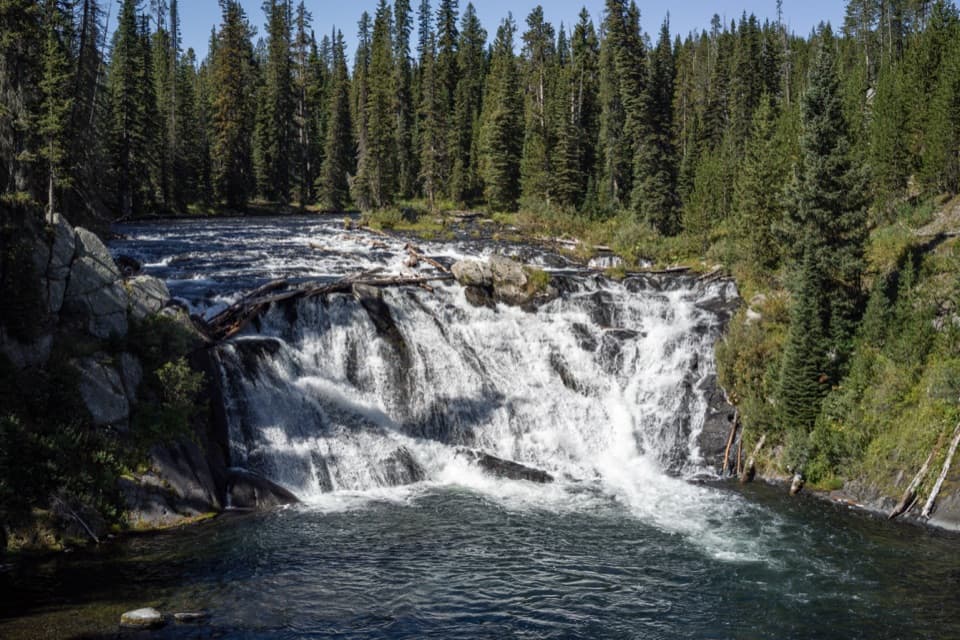
The first stretch moves through forest, crosses a small stream near the first mile and opens toward Lewis Lake's north shore. A gravel and volcanic-rock beach gives a brief look south toward the Tetons and east toward the Red Mountains. Around mile 2.5, the Lewis River leaves the lake and the trail begins to follow the channel. It alternates shady forest with rocky overlooks above clear water, then draws closer to the river as it narrows and flows toward Shoshone Lake. From one of the rocky ledges, frame the channel with a boulder in the foreground to show the water's width. Eagles and osprey fish in the shallow channel, though sightings are never guaranteed.

Shoshone Lake and the Dogshead returnNear five miles, the route reaches the outlet area and the junction for Shoshone Lake.

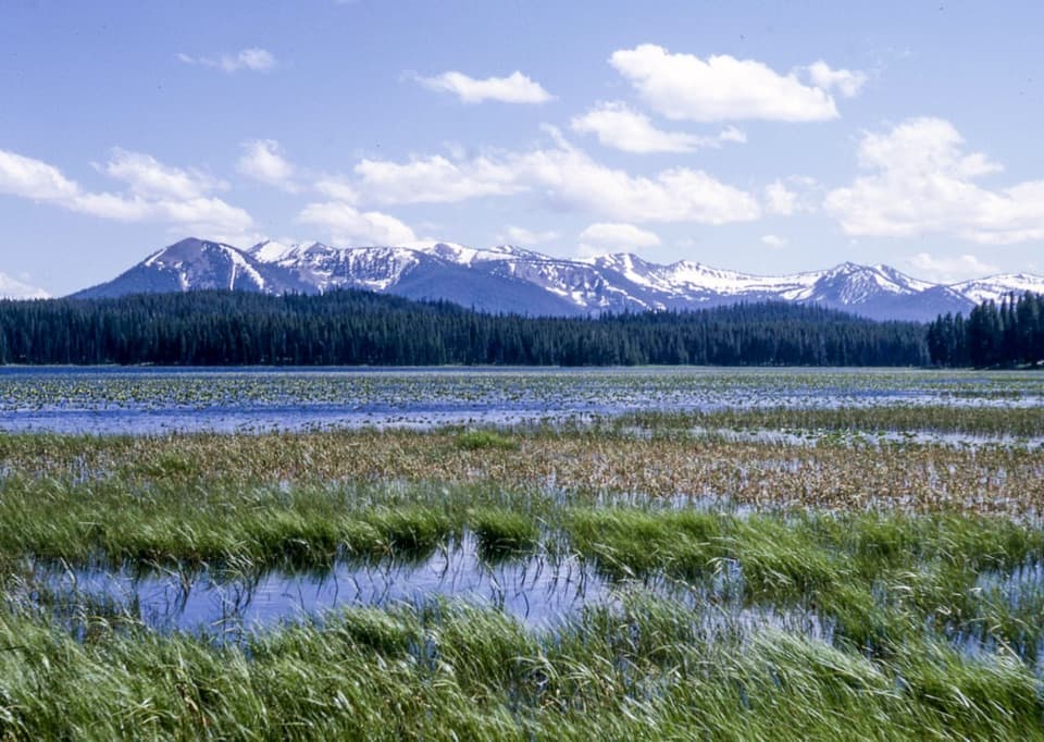
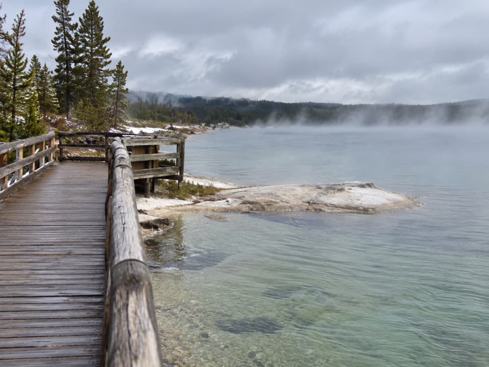
Near five miles, the route reaches the outlet area and the junction for Shoshone Lake. A short path past a patrol cabin leads to the lake's pebbled shore; retrace it to the junction. The loop then follows the south-shore connector and turns onto Dogshead. That side of the walk is quieter visually: an old road through lodgepole pine, with occasional ponds, marshy patches and glimpses of the lake rather than a high summit or long panorama.

Forest, water and wildlifeDogshead changes from old road to narrower trail at Dogshead Creek.

Dogshead changes from old road to narrower trail at Dogshead Creek. The creek is often dry by midsummer, but the route still crosses wet, low ground and passes small ponds. Older lodgepole stands mix with younger forest that grew after Yellowstone's 1988 fires. Near the Lewis River Channel, watch the shallows for fishing birds and look from a distance; bears frequent this area.

Start preparedThe trailhead has an information kiosk and vault toilet, but no food or potable-water stop was…

The trailhead has an information kiosk and vault toilet, but no food or potable-water stop was identified at the access or along the route. Bring what you need for a full day. Yellowstone does not allow pets on hiking trails; trained service animals are allowed. This is listed as a summer-and-fall hike. Carry bear spray where it is immediately accessible, know how to use it, and stay at least 100 yards from bears.

Wildlife

Wildlife in Yellowstone

All Yellowstone wildlife maps

Sighting maps show where each species has been reported across Yellowstone. Wildlife moves, so no sighting is guaranteed.

Keep exploring

Near Lewis River Channel/Dogshead Trail

See it all on the map

Trails that start nearby

Places near the trailhead

Parkwolf’s Yellowstone ranking

Top-rated trails in Yellowstone

All 167 trails
  1. 1Old Faithful to Morning Glory Pool TrailEasy · 2.7 mi
  2. 2Grand Prismatic Overlook TrailEasy · 1.6 mi
  3. 3Dunraven Pass–Mount Washburn TrailChallenging · 7 mi
  4. 4Midway Geyser Basin TrailEasy · 0.7 mi
  5. 5Brink of the Lower Falls TrailChallenging · 0.7 mi
  6. 6Fairy Falls TrailEasy · 4.5 mi

Take Parkwolf to Yellowstone.

The audio tour guide for the drive, plus offline maps, trails, and wildlife heatmaps for when the signal drops.

4.7 from 8,600+ ratings

Download Parkwolf on the App StoreGet Parkwolf on Google Play