Parking
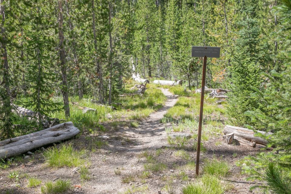
Phantom / Pitchstone Trailhead (8K4) is on the west side of South Entrance Road, south of Lewis Falls; an information kiosk is listed at the start. Arrange transport for the western trail junction.
Yellowstone National Park, WY · MT · ID
A long point-to-point hike over Yellowstone’s young lava plateau.
Overview
Map & elevation
Plan your hike

The highest, rockiest slopes around here are a summer buffet for grizzly bears.
Yellowstone Tour Guide
Parkwolf is a GPS audio tour guide for Yellowstone National Park. As you drive, it chimes in with what’s ahead: hidden gems, upcoming stops, history, geology, and wildlife, right through your car’s speakers.
See the Yellowstone audio tourRecorded for this area
A Coat Set by Daylight“A snowshoe hare's change of coat is partly triggered by day length. As the days shorten, its gray-brown summer fur gives way to white, helping it blend into winter snow.”
Plays on the road 0.4 mi from the trailhead in the Parkwolf Yellowstone Tour Guide.
More stories near here in the app
“First time driving through a national park. We used the Yellowstone tour on grand loop Road and it’s just like having a tour guide in your car with you.”


Trail guide
Pitchstone Plateau Trail is a remote backcountry point-to-point route from Phantom / Pitchstone Trailhead (8K4) on South Entrance Road to the Mountain Ash Creek Trail junction. Yellowstone lists it at 16.3 miles one way; the mapped tread measures about 17.1, and another route guide gives 17.7, so plan for roughly 17 miles. The payoff is the plateau’s open lava country, meadows and a high-point view south to the Tetons. Allow roughly nine hiking hours and arrange a pickup before you start: this is not a loop, and the far end is another trail junction, not your car.
The trail starts with a short flat stretch, then climbs about 320 feet in the first half-mile up the plateau’s eastern edge. It keeps gaining more gradually through lodgepole forest burned in 1988. Phantom Fumarole appears around mile 4.8: a small, mostly dry thermal area with a few steam vents and mud pots. The ground here can be dangerous; stay on the established trail. If the fumarole is your main goal, a separate out-and-back from the same trailhead is about 9 to 9.5 miles.
Past the campsites near mile six, trees thin and the meadows open up. The tread gets faint, so watch for the chain of rock cairns instead of assuming the path will stay obvious. The low ribs breaking up the meadow are folds in the solidified lava, with glassy obsidian and pitchstone fragments nearby. Snow can linger on this wet corner of the park well into July. In late summer, springs near those campsites are the only reliable water reported along the plateau; carry enough and treat what you collect.
Around mile nine, the route reaches its high point. The Tetons are to the south; open plateau meadows spread to the north. It then bends back into trees and drops roughly 1,700 feet over the final eight miles to the Mountain Ash Creek junction. Bison and elk sometimes use the open meadows, though sightings are never a sure thing. For a photo, include one of the low lava ribs in the foreground with the Tetons beyond; the ribs make the plateau’s unusual surface easier to read.
Treat this as a serious backcountry crossing: carry a map and know how to navigate, especially where the tread fades. The park recommends hiking in groups of three or more, prohibits pets on trails and in the backcountry, and requires a permit for overnight camping. The west end is a trail junction, so arrange your exit before setting out.
Wildlife
 713 sightingsGrizzly BearMost seen around 6 AMSighting map
 743 sightingsWolfMost seen around 6 AMSighting map
 5,273 sightingsBisonMost seen around 7 AMSighting map
 3,258 sightingsElkMost seen around 7 PMSighting map
 397 sightingsMooseMost seen around 7 PMSighting map
 1,494 sightingsBlack BearMost seen around 7 PMSighting map
Sighting maps show where each species has been reported across Yellowstone. Wildlife moves, so no sighting is guaranteed.
Keep exploring
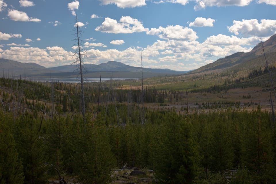 ChallengingHeart Lake Trail15.5 mi · 9 hr · 5.7 mi awayA long day reaches a lake below Mount Sheridan.
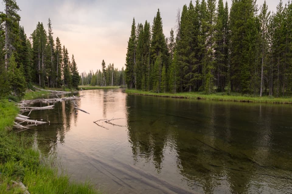 ModerateLewis River Channel/Dogshead Trail10.8 mi · 6.5 hr · 5.8 mi awayTwo lakes and a river channel, with little climbing.
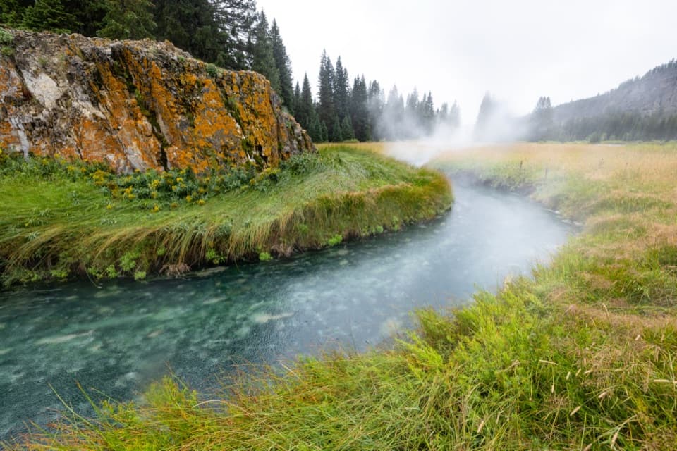 ModerateSouth Boundary Trail: South Entrance–Harebell11.6 mi · 6 hr · 7.4 mi awayFollow the Snake River to a remote, 1915 patrol cabin.
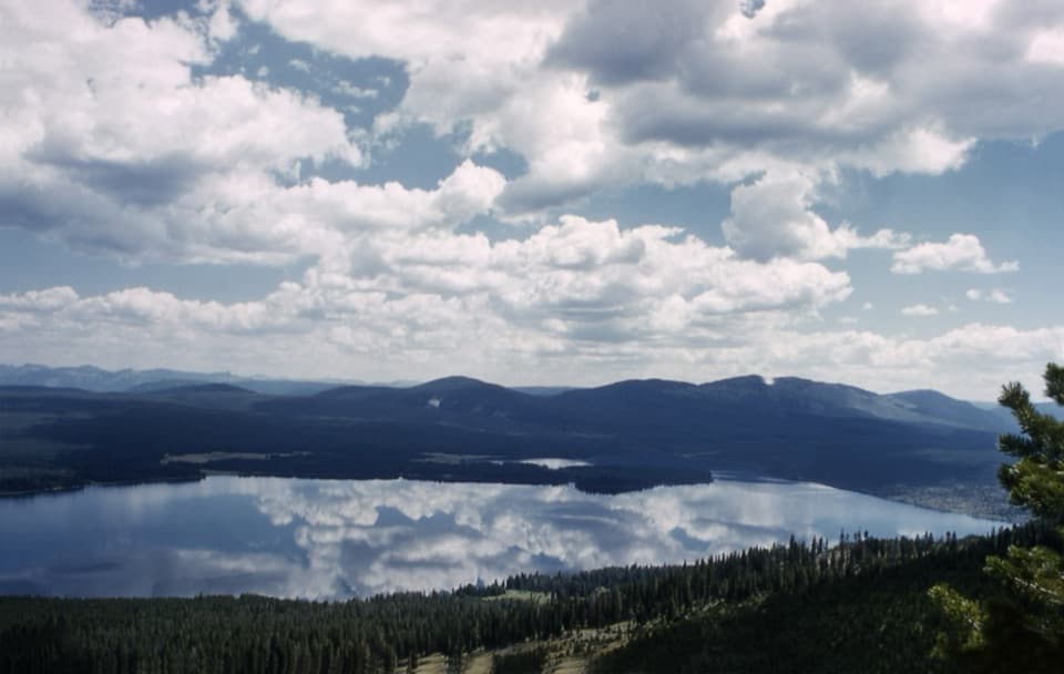 ChallengingMount Sheridan Trail7.2 mi · 6 hr · 7.5 mi awayHeart Lake and the Tetons spread out below this remote summit.
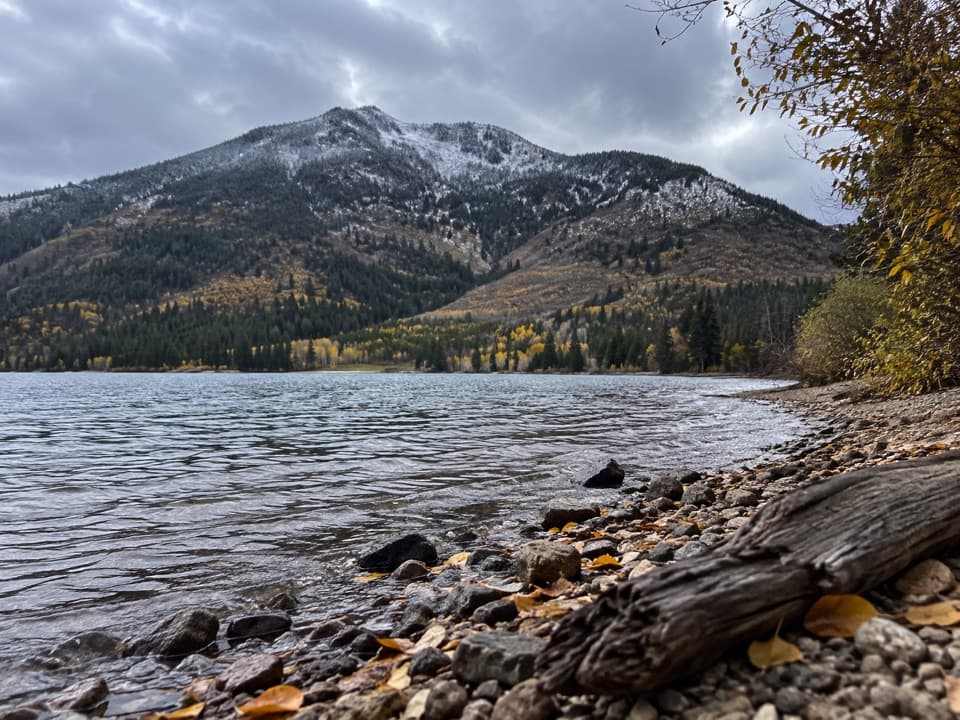 ChallengingTrail Creek Trail21.7 mi · 12 hr · 8 mi awayA long backcountry link from Heart Lake to the Thorofare.
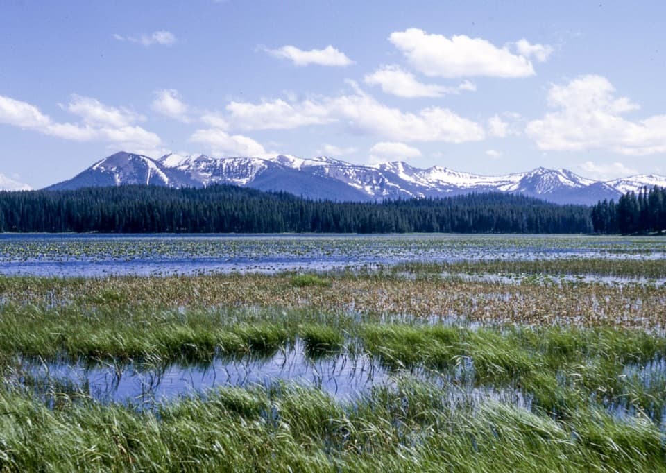 EasyRiddle Lake Trail4.8 mi · 2.5 hr · 8.6 mi awayA mostly level walk to lily pads and Mount Sheridan views.
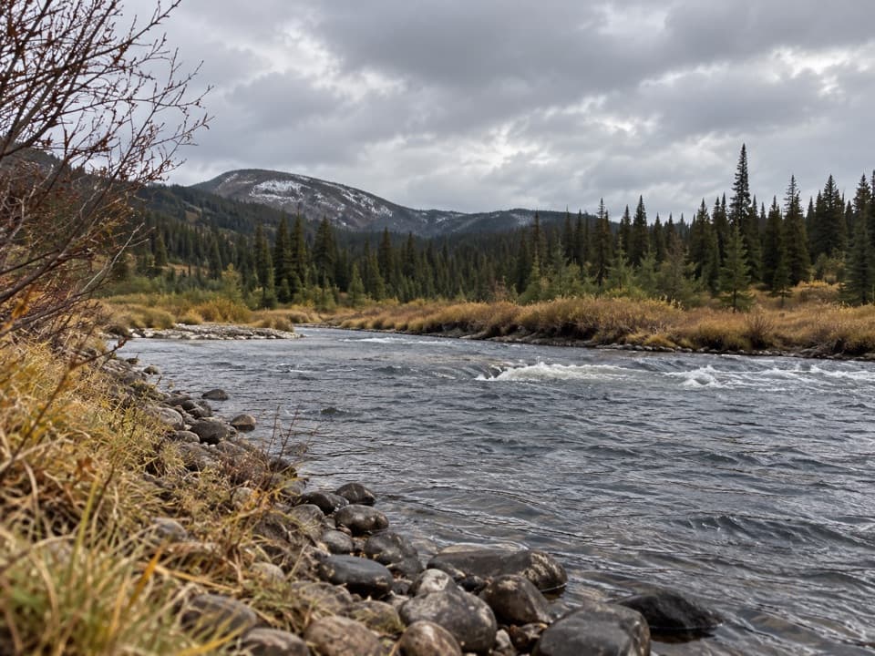 EasySnake River Canyon Trail2.5 mi · 1.5 hr · 9.5 mi awayAn easy river-valley connector in Yellowstone's remote backcountry.
 ModerateHeart River Trail5.8 mi · 3.5 hr · 10.1 mi awayA remote river corridor with several unbridged fords.
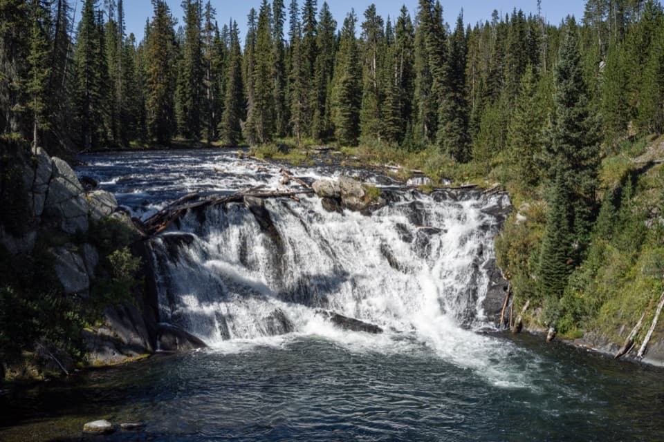 Sight · 1.7 mi awayLewis FallsA broad, 30-foot cascade that makes an easy roadside pause.
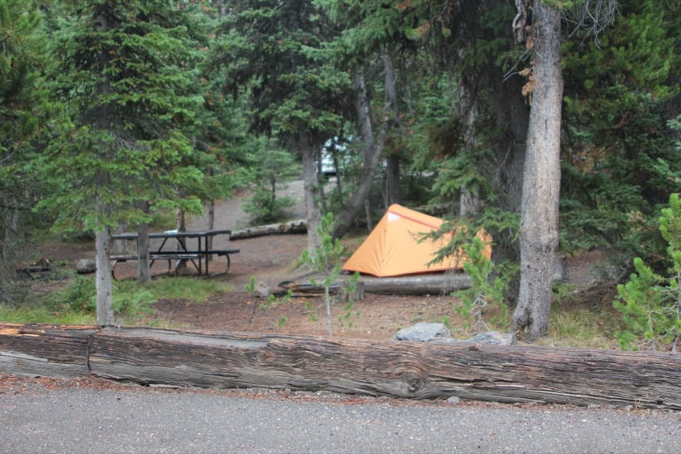 Campground · 2.8 mi awayLewis Lake CampgroundA wooded camp, with a short walk to Lewis Lake.
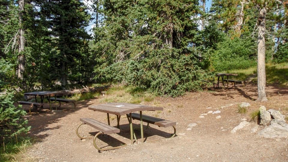 Picnic area · 2.9 mi awayLewis Lake Picnic AreaA convenient picnic stop near Lewis Lake on Yellowstone’s south road.
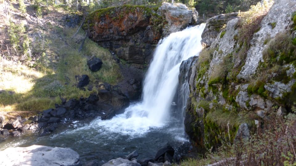 Sight · 6.4 mi awayMoose FallsA short stop for Yellowstone’s 30-foot Moose Falls.
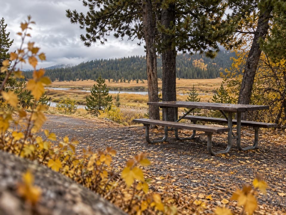 Picnic area · 7.4 mi awaySnake River Picnic AreaA real lunch stop with river views, tables and fire grates.
Parkwolf’s Yellowstone ranking

The audio tour guide for the drive, plus offline maps, trails, and wildlife heatmaps for when the signal drops.