Parking
The trailhead is on the east side of Boundary Street at Madison Avenue. The available information does not identify a named lot, parking capacity or a fee; confirm where public street parking is permitted before leaving the car.
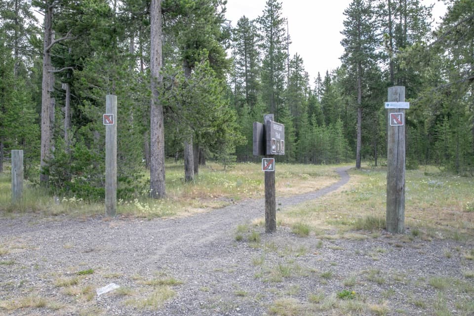
Yellowstone National Park, WY · MT · ID
Two loops, a forest approach, and open Madison River meadows.
Overview
Map & elevation
Plan your hike

The highest, rockiest slopes around here are a summer buffet for grizzly bears.
Yellowstone Tour Guide
Parkwolf is a GPS audio tour guide for Yellowstone National Park. As you drive, it chimes in with what’s ahead: hidden gems, upcoming stops, history, geology, and wildlife, right through your car’s speakers.
See the Yellowstone audio tourRecorded for this area
A Porcupine’s Winter Menu“A patch of missing bark high in a tree can be a clue to a porcupine's winter meals. These slow-moving rodents are excellent climbers, using sharp claws to work their way up the trunk.”
Plays on the road 0.1 mi from the trailhead in the Parkwolf Yellowstone Tour Guide.
More stories near here in the app
“First time driving through a national park. We used the Yellowstone tour on grand loop Road and it’s just like having a tour guide in your car with you.”


Trail guide
Riverside Ski Trail is a two-loop network reached by a shared forest approach from Boundary Street in West Yellowstone. The full combined outing is about 7.6 miles round trip, including both loops and the access path in and out; allow about 3 to 4 hours on foot. It is a long but mostly gentle walk, with open river meadows and a more panoramic Upriver section. The listed pieces are rounded: their distances add to about 7 miles, while the connected mapped route measures about 7.6. Use the longer figure for this full itinerary.
The approach runs about a mile through forest before reaching the junction above the Madison River. Go left for the Downriver Loop, which passes open forest and meadow beside the river; the full loop is listed at 3.5 miles, with a cutoff that shortens it to 2.2. Back at the junction, the Upriver Loop goes right for broad views of the river and Gallatin Range. It is listed at 1.5 miles. On the Upriver route, expect a short steep drop to the river before the gentler return toward the bench above it. If you only want one loop, the Upriver option makes the shortest outing from town once you add the shared access each way.
Bison and elk use this area, and bald eagles and waterfowl are among the birds to watch for. Keep at least 25 yards from bison and other wildlife and 100 yards from bears and wolves. Sightings are never guaranteed, and the route's river setting means animals can be close to the path.
Wildlife
 713 sightingsGrizzly BearMost seen around 6 AMSighting map
 743 sightingsWolfMost seen around 6 AMSighting map
 5,273 sightingsBisonMost seen around 7 AMSighting map
 3,258 sightingsElkMost seen around 7 PMSighting map
 397 sightingsMooseMost seen around 7 PMSighting map
 1,494 sightingsBlack BearMost seen around 7 PMSighting map
Sighting maps show where each species has been reported across Yellowstone. Wildlife moves, so no sighting is guaranteed.
Keep exploring
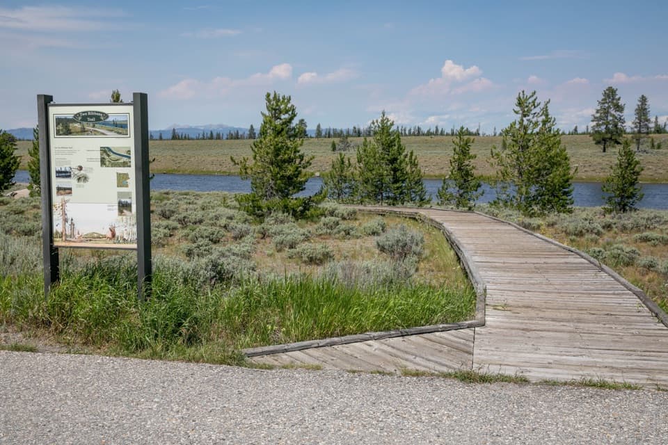 EasyTwo Ribbons Trail0.7 mi · 30 min · 3.3 mi awayAn easy river loop with a close look at postfire recovery.
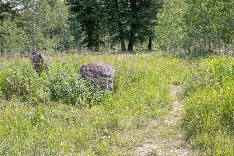 ChallengingGneiss Creek Trail13.9 mi · 7 hr · 9.4 mi awayA 13.9-mile one-way walk through Yellowstone’s open creek valleys.
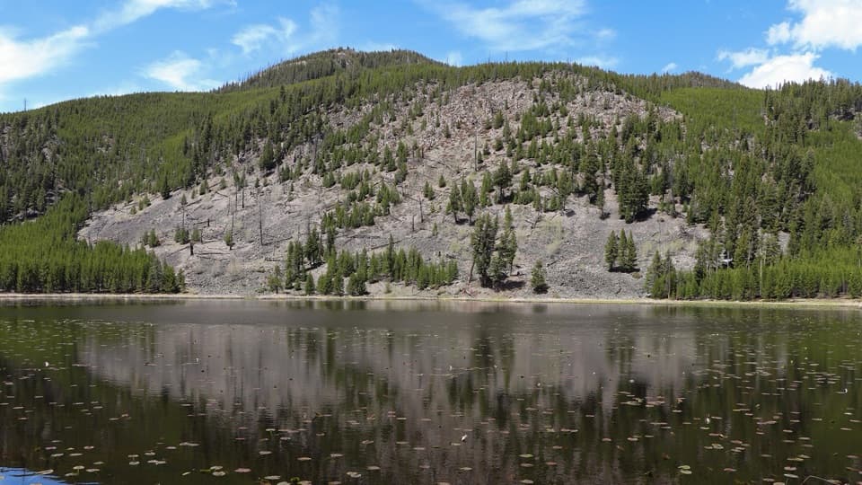 EasyHarlequin Lake Trail1 mi · 45 min · 10.4 mi awayA quick walk through young pines to a quiet lake.
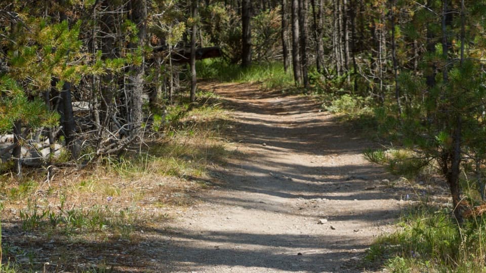 ChallengingPurple Mountain Trail6.6 mi · 4 hr · 11.9 mi awayEleven switchbacks climb to views over the Gibbon and Madison valleys.
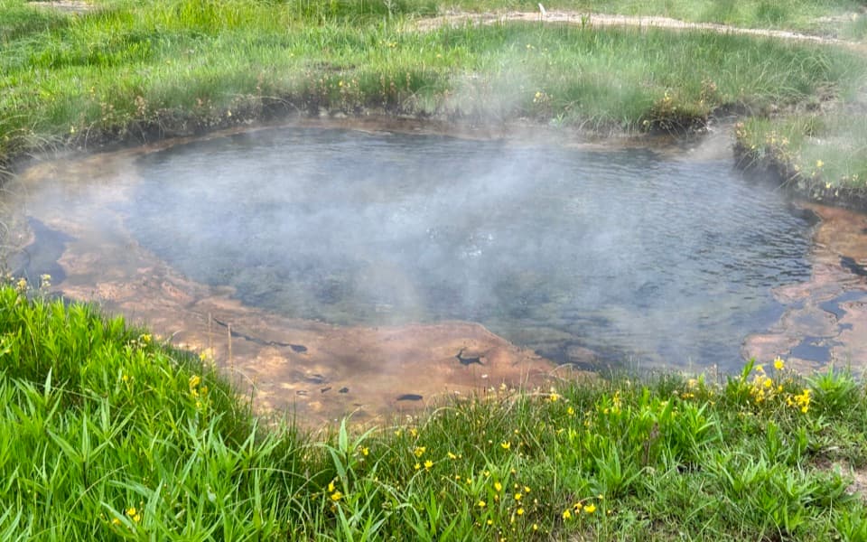 EasyTerrace Spring Trail0.2 mi · 15 min · 12.4 mi awayA short boardwalk loop to Yellowstone’s small thermal area.
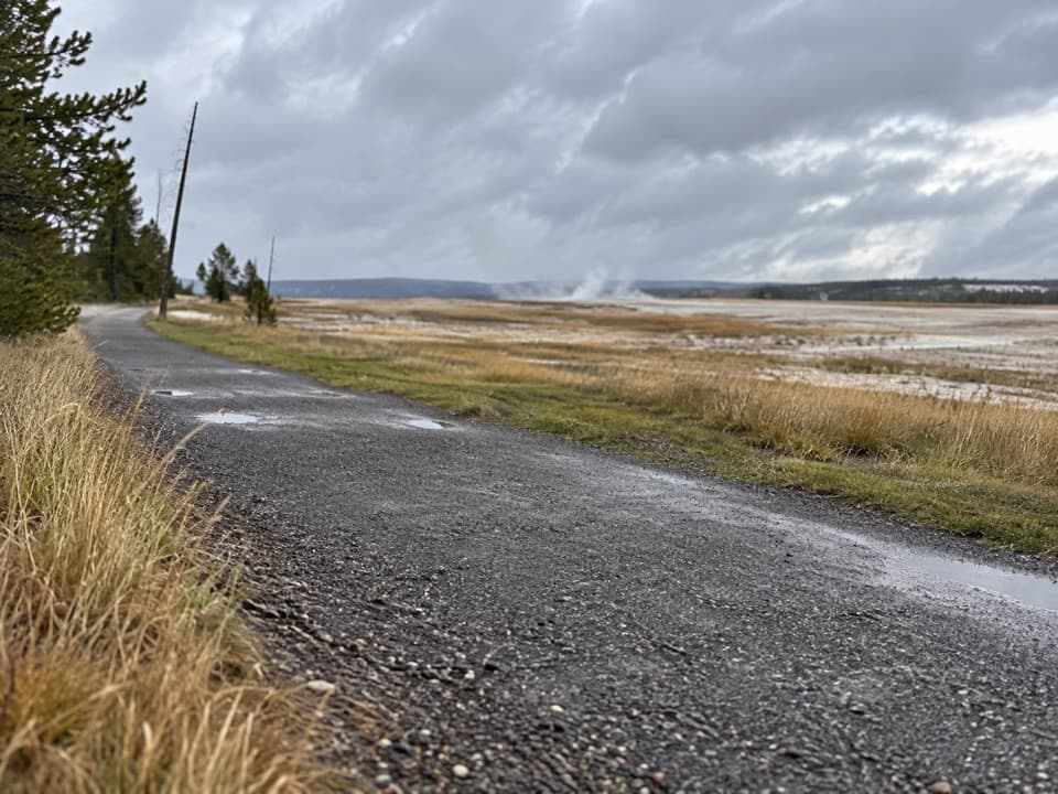 EasyFountain Freight Road Trail4 mi · 2.5 hr · 14.4 mi awayA level old-road walk past hot springs, river, meadows, and a lake.
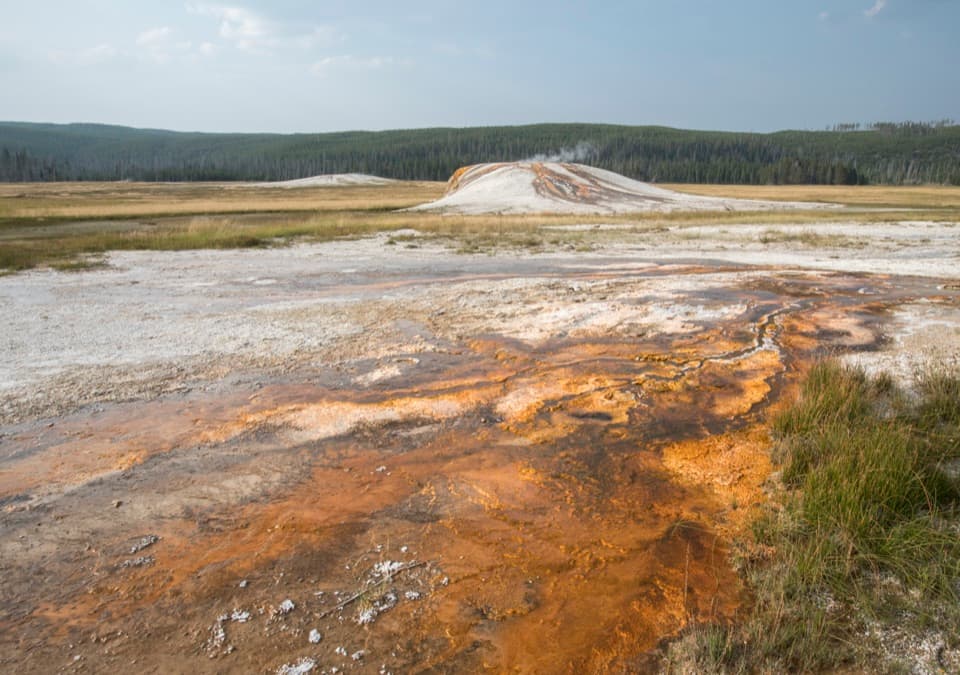 EasySentinel Meadows & Queen’s Laundry Trail3.8 mi · 3 hr · 14.4 mi awayA meadow walk to Queen’s Laundry and its 1881 bathhouse
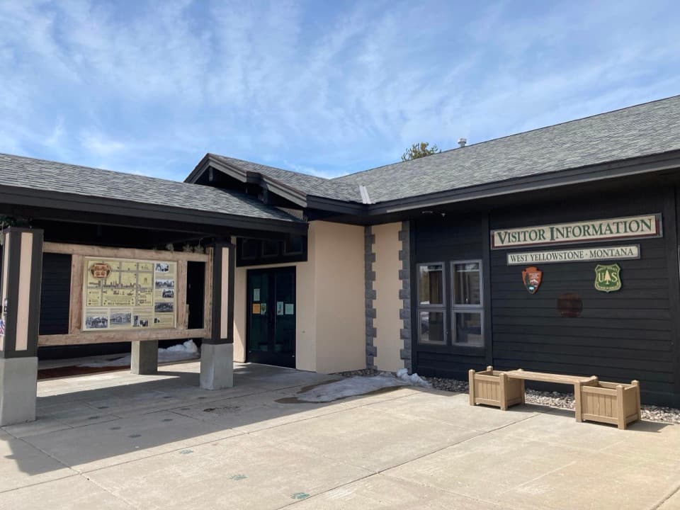 Visitor center · 0.2 mi awayWest Yellowstone Visitor Information CenterMaps and local route advice before the park entrance.
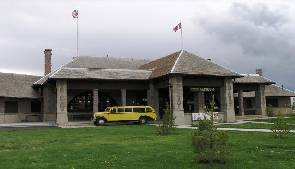 Sight · 0.2 mi awayMuseum of the YellowstoneThe 1909 depot still tells the story of arriving by rail.
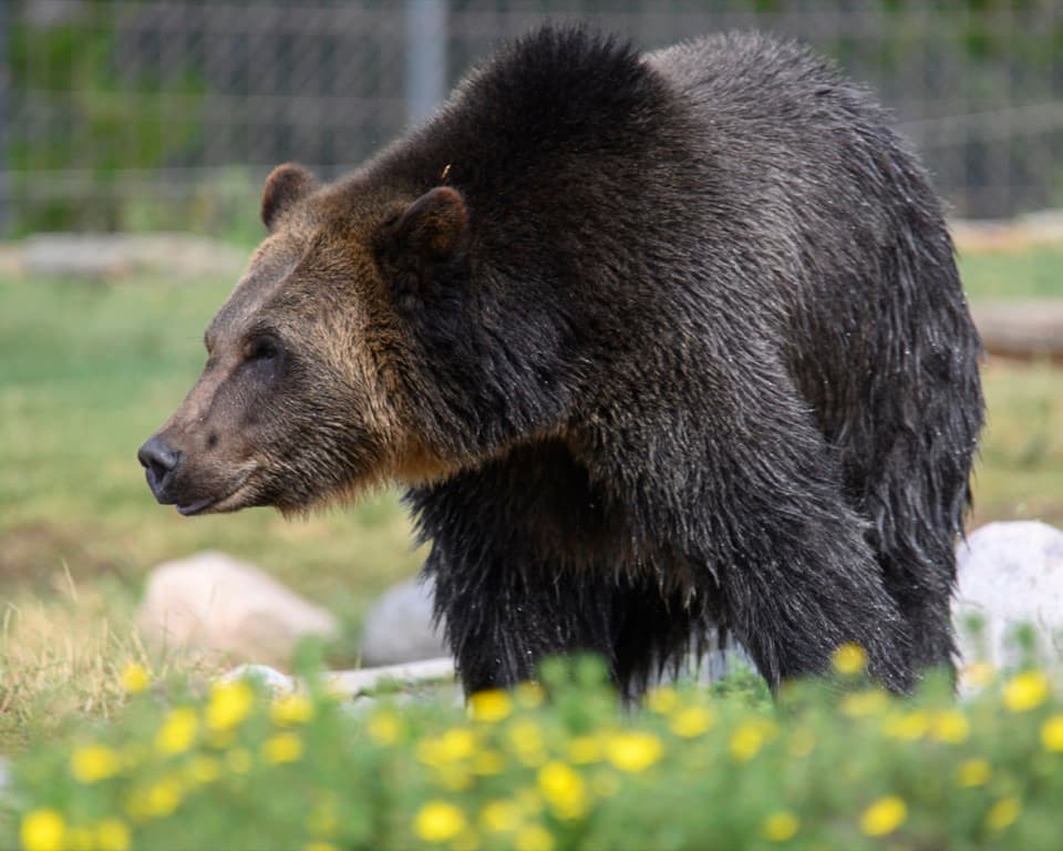 Sight · 0.3 mi awayGrizzly & Wolf Discovery CenterMeet grizzlies, wolves and otters, then hear why they live here.
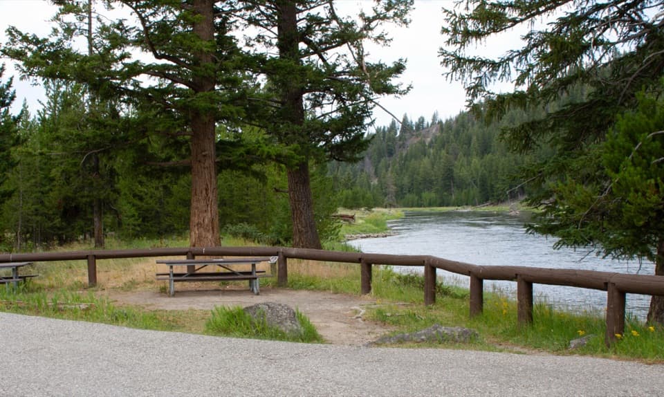 Picnic area · 6.4 mi awayMadison River Picnic AreaNine picnic tables put lunch beside the Madison River.
Parkwolf’s Yellowstone ranking

The audio tour guide for the drive, plus offline maps, trails, and wildlife heatmaps for when the signal drops.





