Parking
Use the signed Two Ribbons Trailhead–East pullout on the north side of West Entrance Road just inside the West Entrance. A West trailhead reaches the same loop. Two adjacent pullouts are described; capacity and fees were not established.
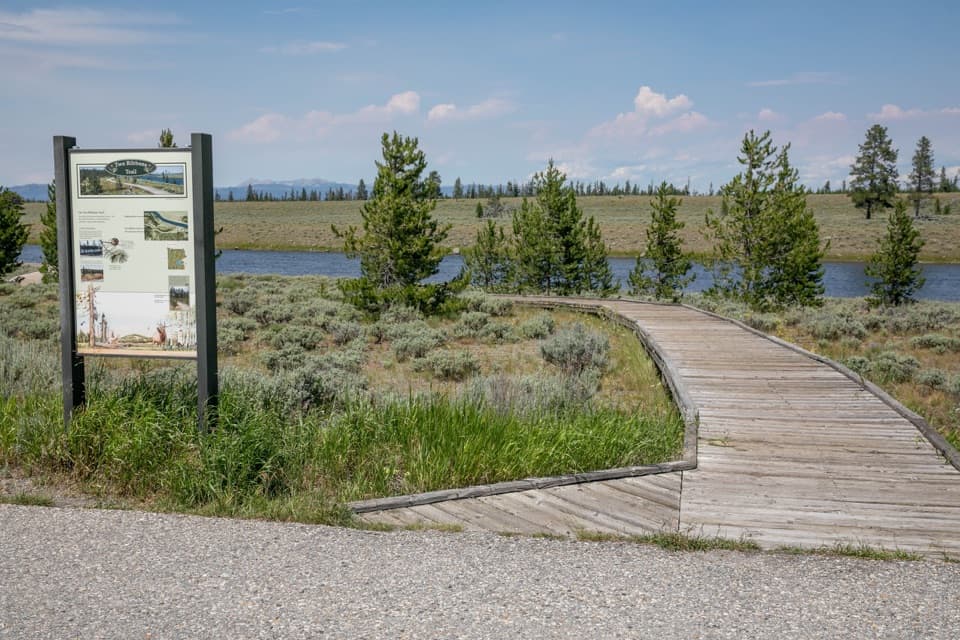
Yellowstone National Park, WY · MT · ID
An easy river loop with a close look at postfire recovery.
Overview
Map & elevation
Plan your hike

The highest, rockiest slopes around here are a summer buffet for grizzly bears.
Yellowstone Tour Guide
Parkwolf is a GPS audio tour guide for Yellowstone National Park. As you drive, it chimes in with what’s ahead: hidden gems, upcoming stops, history, geology, and wildlife, right through your car’s speakers.
See the Yellowstone audio tourRecorded for this trailhead
Two Ribbons Trail“Two Ribbons Trail is ahead, an easy boardwalk walk beside the Madison River. The loop is about seven-tenths of a mile, so allow half an hour, with benches if you'd like to linger.”
Plays as you drive up to this trailhead in the Parkwolf Yellowstone Tour Guide.
More stories near here in the app
“First time driving through a national park. We used the Yellowstone tour on grand loop Road and it’s just like having a tour guide in your car with you.”


Trail guide
Two Ribbons Trail is an easy 0.7-mile boardwalk loop through conifers and sagebrush beside the Madison River. Allow about 30 minutes, longer if you stop at the benches or read the interpretive signs. It makes a good short stop just inside Yellowstone’s West Entrance: the river meadow and the contrast between older and younger pines give the walk more to notice than its length suggests. It is a gentle nature walk, not a workout or a long river hike.
Start at the East trailhead. A short shared approach reaches the loop; the meadow branch opens toward the river, while the inland side runs closer to the road through younger lodgepole pine. The two sides meet again, and the mapped loop retraces its short approach to the East access. The same trail is also reachable from its West trailhead.
The river-side boardwalk gives the clearest opening across the Madison to the southern Gallatin Range and Mount Holmes. Waterfowl and raptors, including osprey and bald eagles, may be along the river. For a photo, frame the boardwalk and river with the mountains beyond; binoculars help pick out the small lookout on Mount Holmes.
The west-side approach passes older lodgepole that survived Yellowstone’s 1988 fires. The road-side branch passes younger trees, a visible reminder of how the forest has returned. Interpretive panels explain the area’s natural history, and benches give you places to pause along the boardwalk.
Use the signed East pullout just inside the West Entrance on the north side of West Entrance Road; the West trailhead is an alternate access to the same loop. Pets, including carried pets, aren’t allowed on boardwalks or hiking trails. Trained service animals are allowed and must be leashed.
Wildlife
 713 sightingsGrizzly BearMost seen around 6 AMSighting map
 743 sightingsWolfMost seen around 6 AMSighting map
 5,273 sightingsBisonMost seen around 7 AMSighting map
 3,258 sightingsElkMost seen around 7 PMSighting map
 397 sightingsMooseMost seen around 7 PMSighting map
 1,494 sightingsBlack BearMost seen around 7 PMSighting map
Sighting maps show where each species has been reported across Yellowstone. Wildlife moves, so no sighting is guaranteed.
Keep exploring
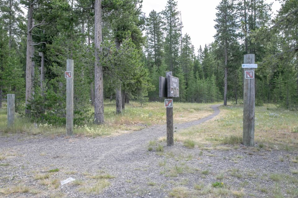 EasyRiverside Ski Trail7.6 mi · 3.5 hr · 3.3 mi awayTwo loops, a forest approach, and open Madison River meadows.
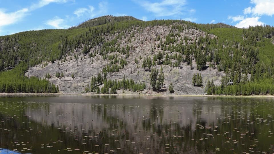 EasyHarlequin Lake Trail1 mi · 45 min · 7.1 mi awayA quick walk through young pines to a quiet lake.
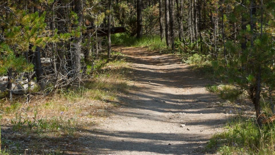 ChallengingPurple Mountain Trail6.6 mi · 4 hr · 8.7 mi awayEleven switchbacks climb to views over the Gibbon and Madison valleys.
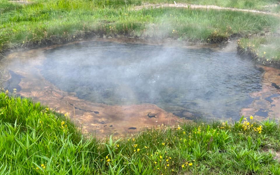 EasyTerrace Spring Trail0.2 mi · 15 min · 9.1 mi awayA short boardwalk loop to Yellowstone’s small thermal area.
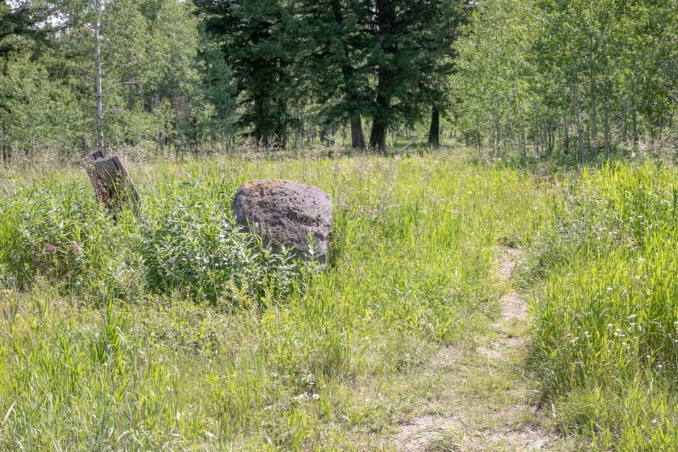 ChallengingGneiss Creek Trail13.9 mi · 7 hr · 10.6 mi awayA 13.9-mile one-way walk through Yellowstone’s open creek valleys.
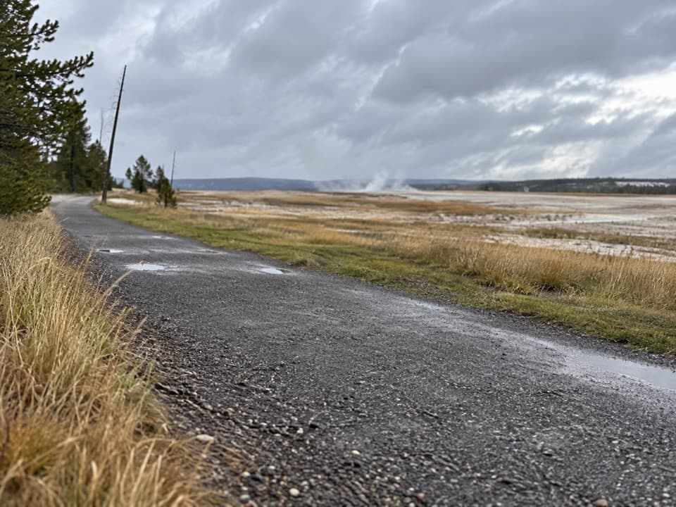 EasyFountain Freight Road Trail4 mi · 2.5 hr · 11.3 mi awayA level old-road walk past hot springs, river, meadows, and a lake.
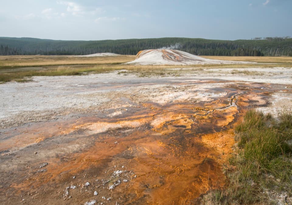 EasySentinel Meadows & Queen’s Laundry Trail3.8 mi · 3 hr · 11.3 mi awayA meadow walk to Queen’s Laundry and its 1881 bathhouse
 EasyMidway Geyser Basin Trail0.7 mi · 45 min · 12.8 mi awayA compact boardwalk loop to a giant spring and a blue crater.
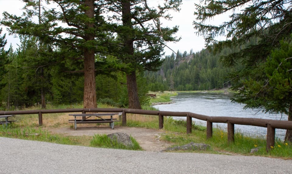 Picnic area · 3.3 mi awayMadison River Picnic AreaNine picnic tables put lunch beside the Madison River.
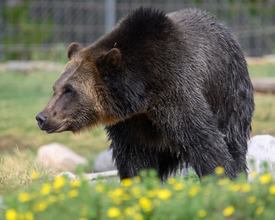 Sight · 3.4 mi awayGrizzly & Wolf Discovery CenterMeet grizzlies, wolves and otters, then hear why they live here.
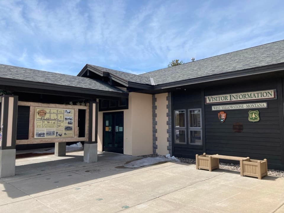 Visitor center · 3.4 mi awayWest Yellowstone Visitor Information CenterMaps and local route advice before the park entrance.
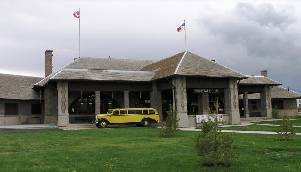 Sight · 3.5 mi awayMuseum of the YellowstoneThe 1909 depot still tells the story of arriving by rail.
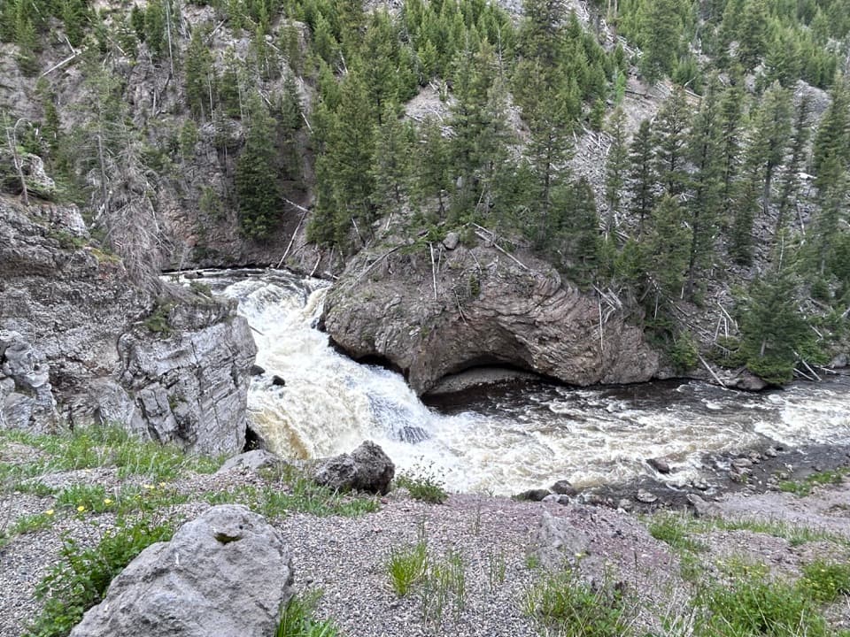 Sight · 8.3 mi awayFirehole FallsA 40-foot waterfall beside the one-way canyon drive.
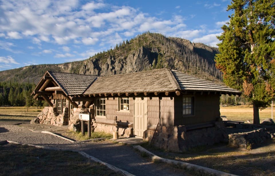 Visitor center · 8.3 mi awayMadison Information Station and Trailside MuseumA useful stop inside an original 1930 trailside museum.
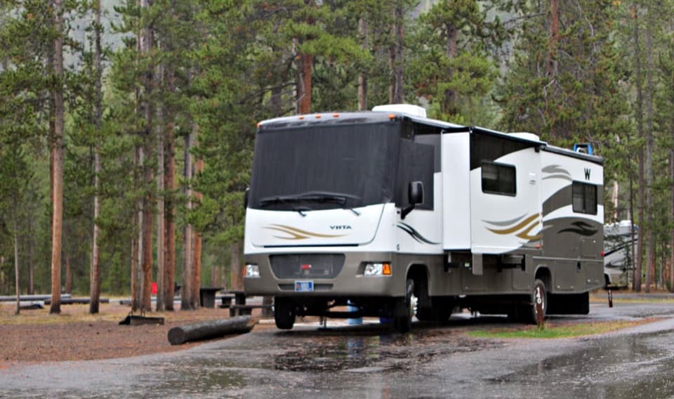 Campground · 8.3 mi awayMadison CampgroundA handy base near the river confluence and geyser basins.
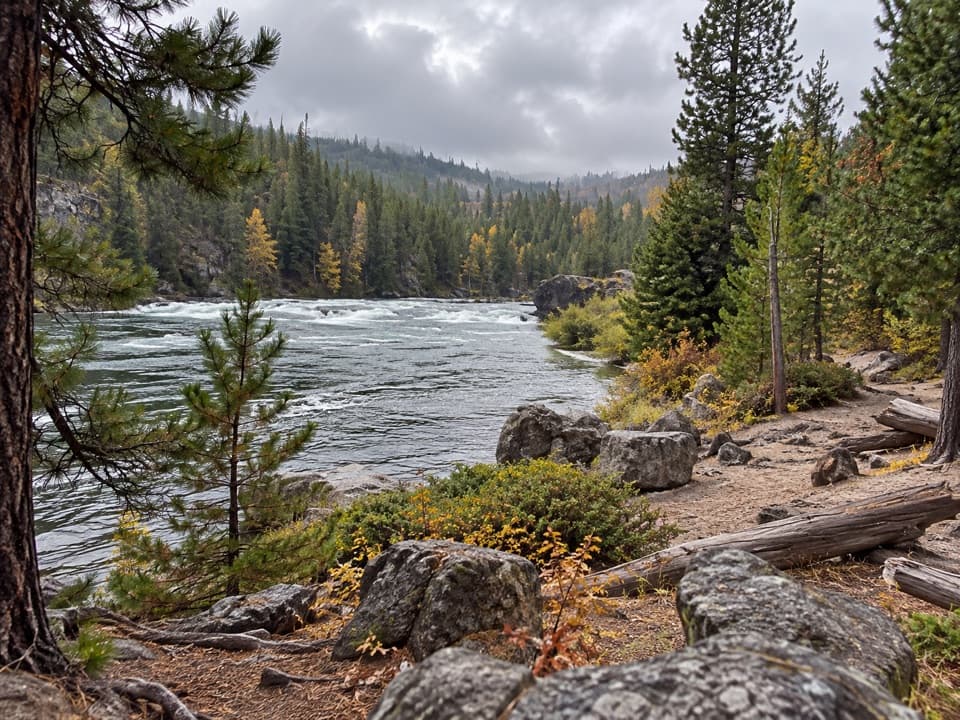 Beach · 8.7 mi awayFirehole Canyon Swimming AreaA river dip that follows the snowmelt’s schedule.
Parkwolf’s Yellowstone ranking

The audio tour guide for the drive, plus offline maps, trails, and wildlife heatmaps for when the signal drops.




