Gneiss Creek Trail in Yellowstone National Park

Yellowstone National Park, WY · MT · ID

Gneiss Creek Trail

A 13.9-mile one-way walk through Yellowstone’s open creek valleys.

Photo: National Park Service
Length
13.9mi
Time
7hr
Elev. change
233ft
Difficulty
Challenging
  • No dogs
  • High point 6,847 ft

Hear the audio tour

The Quake That Changed the Geysers

Overview

About Gneiss Creek Trail

Why go

  • Mostly gentle grades through open, creek-lined country
  • Aspen, pine, wildflowers and broad valley views

Heads up

  • The 13.9-mile point-to-point route takes most of a day and needs a vehicle shuffle
  • Creek crossings and seasonal bear-area restrictions can complicate plans

Map & elevation

The route

Loading the Yellowstone map
Full map
Elevation6,614–6,847 ft
TrailheadGneiss Creek Trailhead (US 191)44.79603, -111.10294
Keep this map with you offline in the Parkwolf app

Plan your hike

Before you go

Parking

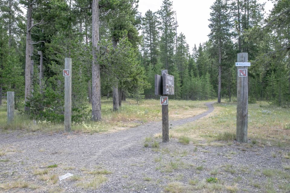
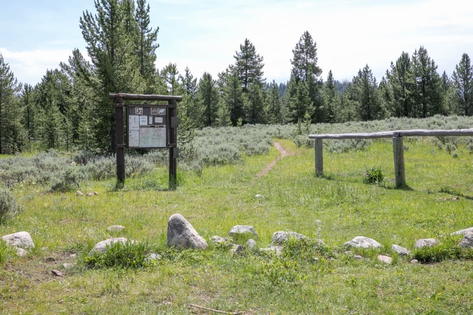
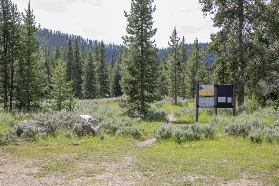
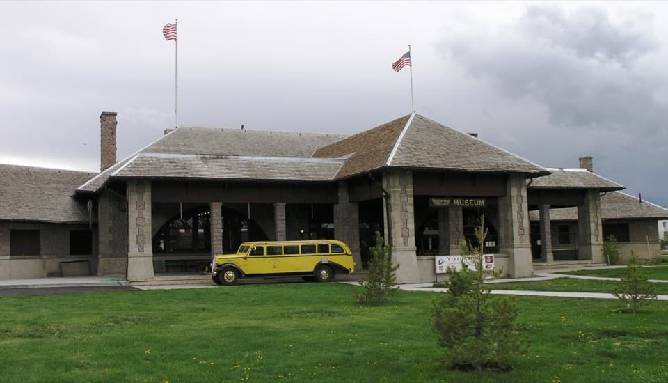
Start at Gneiss Creek Trailhead off US 191 near Yellowstone’s western boundary. The route ends at Seven Mile Bridge on the West Entrance Road, so arrange a second vehicle or a pickup in advance; this is not a loop. The north access has an information kiosk, but no shuttle service is listed.

Best time to go

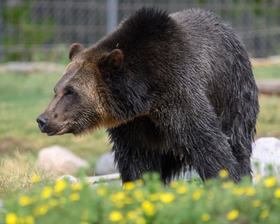
Bison, elk and grizzly bears use these open valleys. The creek crossings deserve respect: Yellowstone’s waters can be swift and cold, and park guidance treats river crossings as hazardous. The north end runs through the Gneiss Creek Bear Management Area. That area is closed March 10 through June 30; from July 1 through November 10, travel there is limited to designated trails. Pets are not allowed. Check the park’s current bear-area restrictions before setting out.

Safety

The route crosses several cold, potentially hazardous creeks, and bison, elk and grizzly bears frequent the valley. The northern stretch is in the Gneiss Creek Bear Management Area, closed March 10–June 30; July 1–November 10, travel there is limited to designated trails. No pets.

5 active Yellowstone alerts

  • ClosureBiscuit Basin closed after hydrothermal explosionBiscuit Basin’s parking lot, boardwalk, and Firehole River are closed to all travel.Official details
  • ClosureMost Yellowstone roads close to regular vehicles November 1Most Yellowstone roads and the West, South, and East entrances are scheduled to close to regular vehicles November 1, 2026, as the park prepares for winter operations.Official details
See all 5 alerts
A park ranger sits on a dash-mounted phone, talking, as Parkwolf’s Tour Guide plays “Army Cutworm Moths: A Grizzly Bear Buffet” on Grand Loop Road below Dunraven Pass in Yellowstone
Parkwolf Tour GuideThe highest, rockiest slopes around here are a summer buffet for grizzly bears.

Yellowstone Tour Guide

Hear Yellowstone as you drive it.

Parkwolf is a GPS audio tour guide for Yellowstone National Park. As you drive, it chimes in with what’s ahead: hidden gems, upcoming stops, history, geology, and wildlife, right through your car’s speakers.

See the Yellowstone audio tour

Recorded for this area

The Quake That Changed the Geysers
0:00 / 0:32
“An earthquake can change a geyser basin long after the shaking stops. The Hebgen Lake earthquake struck just west of the park in August nineteen fifty-nine.”

Plays on the road 0.9 mi from the trailhead in the Parkwolf Yellowstone Tour Guide.

More stories near here in the app

  • A Darkroom on Pack Animals
  • A Beaver’s Underwater Pantry
  • Measuring the Moving Ground
  • Elk Follow the Growing Season
  • 243 audio storiesacross Yellowstone’s roads, triggered by GPS as you drive
  • Wildlife heatmapsfor Wolf, Grizzly Bear, Bison, and 13 more
  • Works offlinemaps, 167 trails, 192 places, and audio download before you lose signal
  • CarPlay readysimple controls built for the drive
★★★★★
“First time driving through a national park. We used the Yellowstone tour on grand loop Road and it’s just like having a tour guide in your car with you.”
Jyg5001App Store review
Download Parkwolf on the App StoreGet Parkwolf on Google Play

4.7 from 8,600+ ratings

Trail guide

Hiking Gneiss Creek Trail

A long one-way valley walkGneiss Creek Trail is a 13.

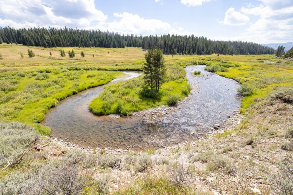
Gneiss Creek Trail is a 13.9-mile point-to-point walk across Yellowstone’s open western valleys, linking the Gneiss Creek Trailhead on US 191 with Seven Mile Bridge on the West Entrance Road. The grade is mostly gentle; the distance, several creek crossings and the vehicle shuffle are the real commitment. Allow about seven hours on foot, plus stops and the trip between trailheads. It is a full-day choice for hikers looking for a long walk through creek country rather than a steep climb to one viewpoint.

From the ridge to the creekFrom US 191, a grassy two-track heads through aspen and pine, then rolls along a ridge above…

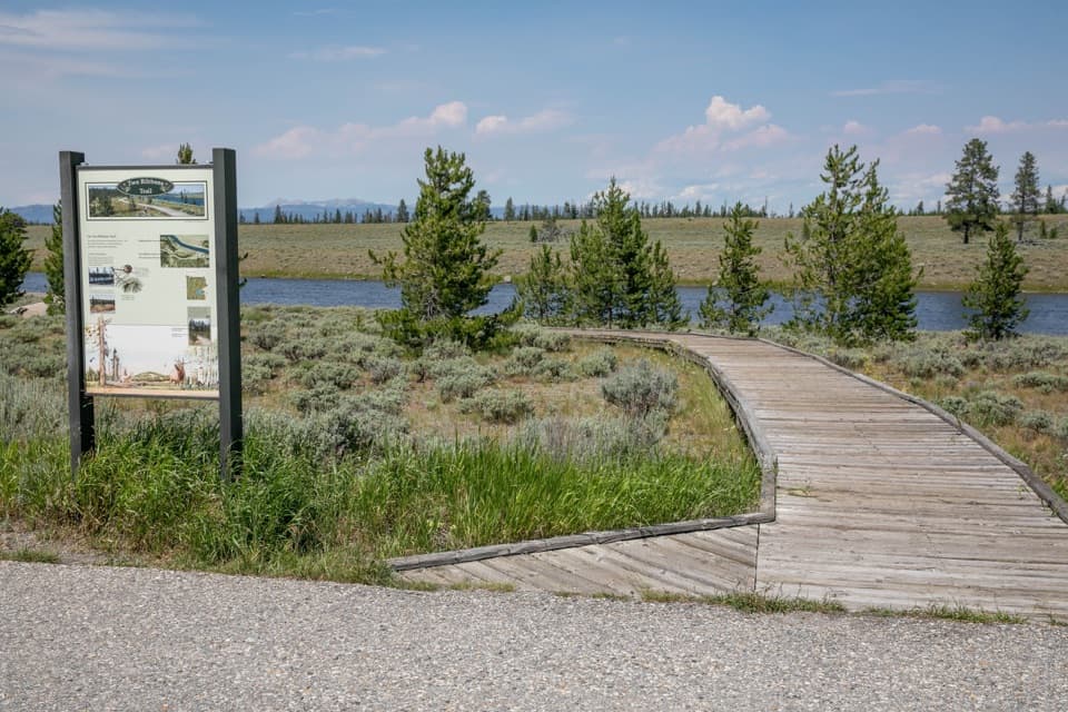
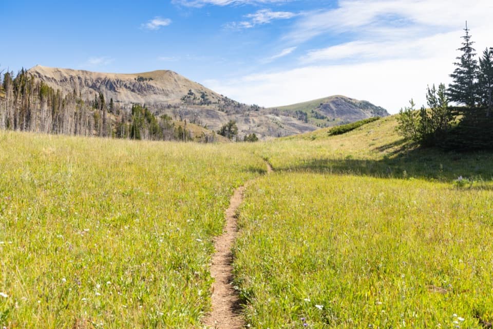
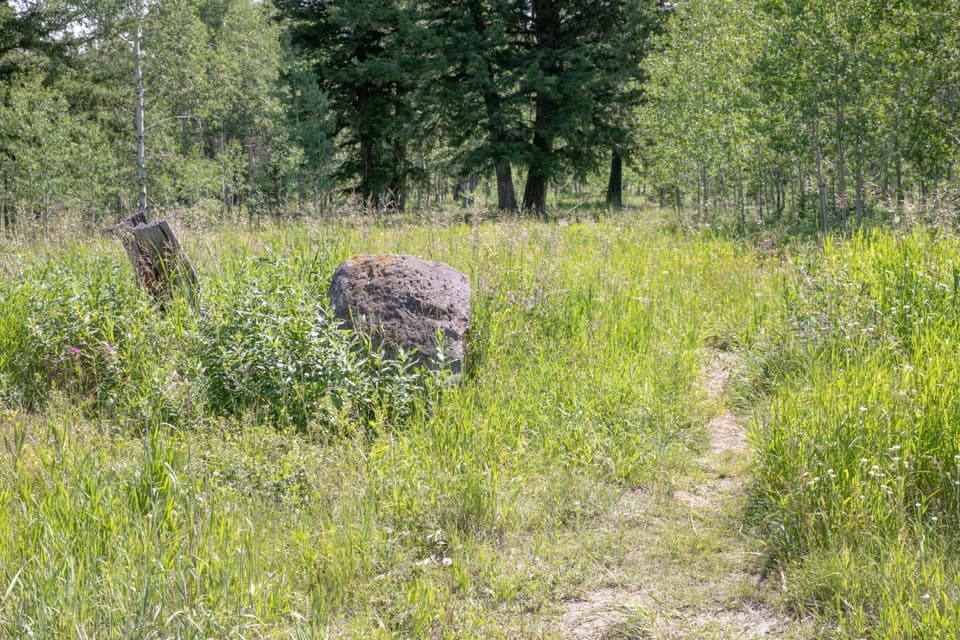
From US 191, a grassy two-track heads through aspen and pine, then rolls along a ridge above Duck and Richards creeks and past forested Sandy Butte. The route drops to Campanula Creek before continuing southeast across open valley along Gneiss Creek, crossing several smaller creeks on the way to the Madison River bridge. Expect changing meadow and water views, with distant mountains on the horizon, rather than one single overlook.

A shorter walk from the north endIf the whole crossing is too much, a commonly walked 3.

If the whole crossing is too much, a commonly walked 3.6-mile round trip from the US 191 trailhead turns around at Campanula Creek, with roughly 300 feet of gain. That is a separate out-and-back; the route mapped here continues to Seven Mile Bridge. The northern access has an information kiosk, but no food or water service is listed there, so bring what you need for the day.

Wildlife

Wildlife in Yellowstone

All Yellowstone wildlife maps

Sighting maps show where each species has been reported across Yellowstone. Wildlife moves, so no sighting is guaranteed.

Parkwolf’s Yellowstone ranking

Top-rated trails in Yellowstone

All 167 trails
  1. 1Old Faithful to Morning Glory Pool TrailEasy · 2.7 mi
  2. 2Grand Prismatic Overlook TrailEasy · 1.6 mi
  3. 3Dunraven Pass–Mount Washburn TrailChallenging · 7 mi
  4. 4Midway Geyser Basin TrailEasy · 0.7 mi
  5. 5Brink of the Lower Falls TrailChallenging · 0.7 mi
  6. 6Fairy Falls TrailEasy · 4.5 mi

Take Parkwolf to Yellowstone.

The audio tour guide for the drive, plus offline maps, trails, and wildlife heatmaps for when the signal drops.

4.7 from 8,600+ ratings

Download Parkwolf on the App StoreGet Parkwolf on Google Play