Place
Challenging
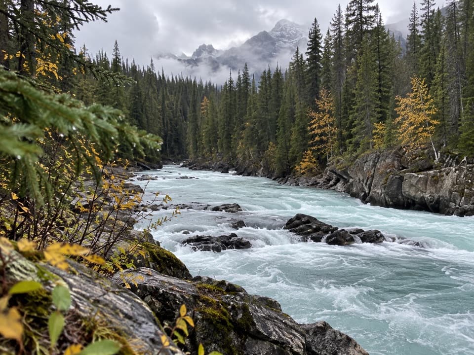
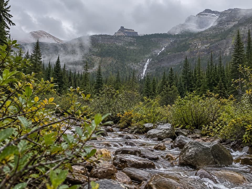
If you’re after solitude, big-country views, and a straight shot toward Kootenay’s Rockwall, Goodsir Pass delivers. It’s rugged and remote, more about the journey than a tidy summit selfie. Expect to earn it—and be rewarded with a flower-filled larch meadow at the pass and wide-open looks at Mount Goodsir and the Ottertail Range.
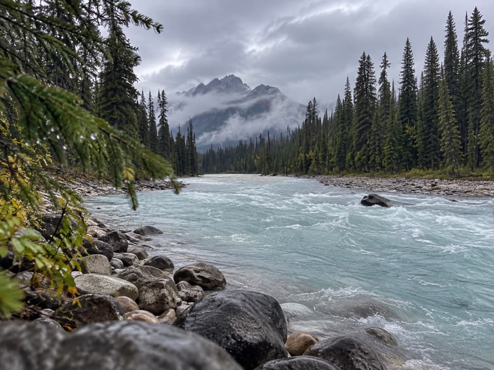
From the Ottertail Parking lot, the route climbs through dense forest, breaks into subalpine larch meadows, and tops out on alpine slopes at Goodsir Pass (2,210 m). It’s steep, rough in places, and not always obvious underfoot. Length is about 25 km (15.5 miles) one way, with roughly 915 m of elevation gain. Plan for a very long day (around 12 hours one-way) or split it into two days using backcountry campgrounds (McArthur Creek on the Yoho side and Helmet Falls over the boundary in Kootenay). This is a true backcountry connector rather than a casual out-and-back.
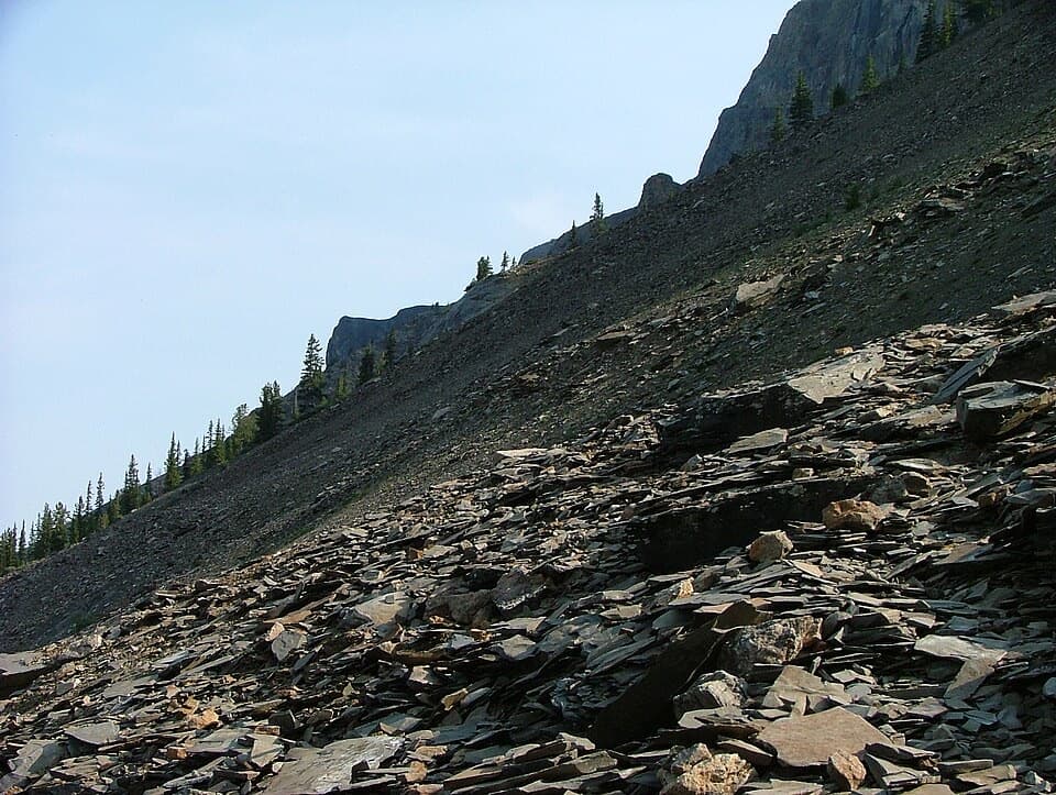
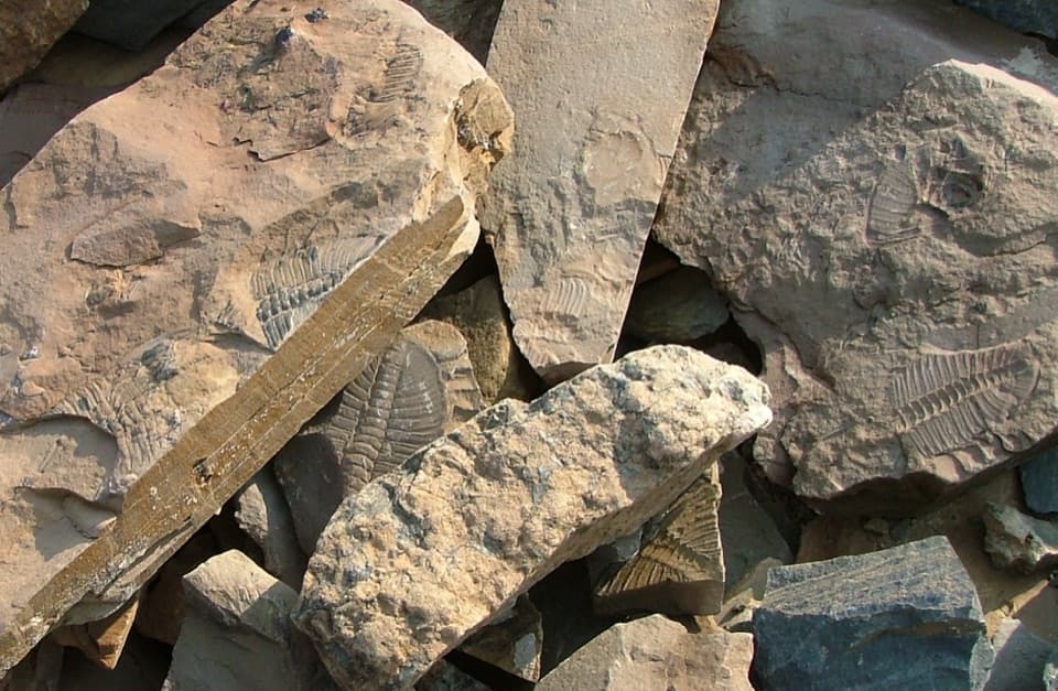
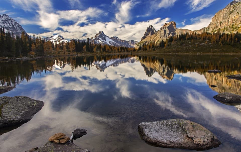
Above treeline, you’ll step into larch meadows that glow later in the season, with expansive views of Mt. Goodsir—the highest peak in Yoho—and the Ottertail Range. Watch and listen for marmots around the pass. Underfoot, the geology is a show in itself: late Cambrian shale and limestone (McKay Group), occasionally sharp and scrappy—think “tearpants erosion”—and the odd fossil (like clamshells) if you keep an eye out.
Late summer into early fall is the sweet spot: wildflowers linger in the meadows and larches turn gold. Snow can stick around well into summer, making early-season travel slow and potentially hazardous. Above-treeline terrain in this region can be exposed to avalanche hazard from roughly November through June. Always check current conditions and advisories before you go.
This route is remote and less maintained in stretches—self-reliance matters. Expect faint tread and a subtle junction near Ottertail Falls; slow down, use a map/GPS, and confirm you’re on the right line. Be prepared to ford streams, carry bear spray, and store food properly at designated sites (basic amenities like outhouses, tent pads, and food lockers are available). Cell coverage is unreliable. Strong navigation skills and the fitness to handle steep, rugged terrain are non-negotiable here.
Start from the Ottertail Parking lot on the south side of the Trans-Canada Highway, about 8.3 km west of Field, BC.
Ottertail Parking lot, 8.3 km west of Field on the south side of the Trans-Canada Highway.
Remote, less-maintained backcountry; faint tread and a subtle junction near Ottertail Falls. Expect stream fords, sharp shale, and steep climbs. Snow can linger into summer; above-treeline terrain can have avalanche hazard November–June. Unreliable cell coverage. Bear country—carry spray and store food properly.