Parking
Ottertail Valley parking lot is on the south side of the Trans-Canada Highway, 8.3 km west of Field. Access is eastbound only.

Yoho National Park, BC
An old river road ends at a remote mountain confluence.
Overview
Map & elevation
Plan your hike

The highest, rockiest slopes around here are a summer buffet for grizzly bears.
Yoho Tour Guide
Parkwolf is a GPS audio tour guide for Yoho National Park. As you drive, it chimes in with what’s ahead: hidden gems, upcoming stops, history, geology, and wildlife, right through your car’s speakers.
See the Yoho audio tourRecorded for this trailhead
Ottertail Valley: A Full-Day River Walk“Up ahead is the Ottertail trailhead, for a long forested walk beside the river to McArthur Creek. The full valley outing takes about nine hours return, with climbing in both directions; save it for a planned hiking day.”
Plays as you drive up to this trailhead in the Parkwolf Yoho Tour Guide.
More stories near here in the app
“Fantastic app with many points of information… It’s great to just turn on while you’re driving and it gives you an audio tour of the national Park. We love it!!!!”


Trail guide
Ottertail Valley Trail is a full-day out-and-back on an old forested road beside the Ottertail River to its confluence with McArthur Creek. It is a valley approach rather than a summit hike, and the road is open to walking and cycling. Plan for 14.5 km each way, about 29 km round trip, and around nine hours for the return. The outbound route gains 705 m and drops 400 m, so expect real climbing in both directions.
Published totals differ: the day route is 14.5 km one way, while a backcountry itinerary lists 32.4 km round trip over two days. The mapped corridor to the confluence measures about 14.4 km one way and matches the day-route figure. The longer total is not explained, so confirm the intended campground itinerary before setting out if you plan to stay overnight.
The route reaches the confluence of the Ottertail River and McArthur Creek, beside the McArthur Creek backcountry campground. An overnight stay requires a backcountry reservation and permit. The longer continuation over Goodsir Pass toward the Rockwall is a separate multi-day route, beyond this out-and-back.
Start at Ottertail Valley parking, 8.3 km west of Field on the south side of the Trans-Canada Highway. The lot is accessible from the eastbound lane only, so plan your approach. This is sensitive wildlife habitat; watch for bears, wolves and mountain goats. Dogs are allowed but must stay leashed and under physical control. Food, drinking water and toilet facilities are not listed for this long route, so carry what you need.
Wildlife
 21 sightingsGrizzly BearMost seen around 6 AMSighting map
 55 sightingsMountain GoatMost seen around 8 AMSighting map
 61 sightingsBlack BearMost seen around 8 PMSighting map
 66 sightingsElkMost seen around 7 PMSighting map
 26 sightingsMooseMost seen around 6 AMSighting map
 10 sightingsBald EagleMost seen around 7 AMSighting map
Sighting maps show where each species has been reported across Yoho. Wildlife moves, so no sighting is guaranteed.
Keep exploring
 ChallengingGoodsir Pass Trail28.4 km · 2.5 days · At the trailheadA remote alpine crossing into Kootenay's Rockwall country.
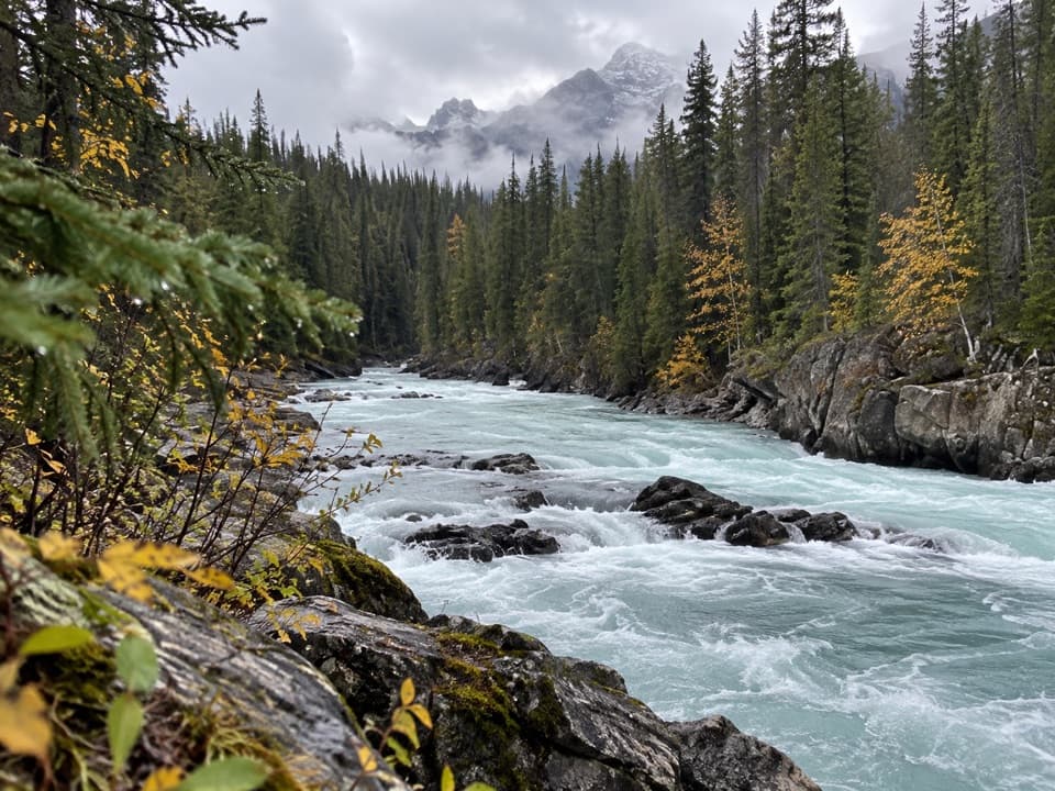 ChallengingTocher Ridge Trail35.8 km · 14 hr · 5.4 km awayA very long riverside approach climbs steeply to a former ridge lookout.
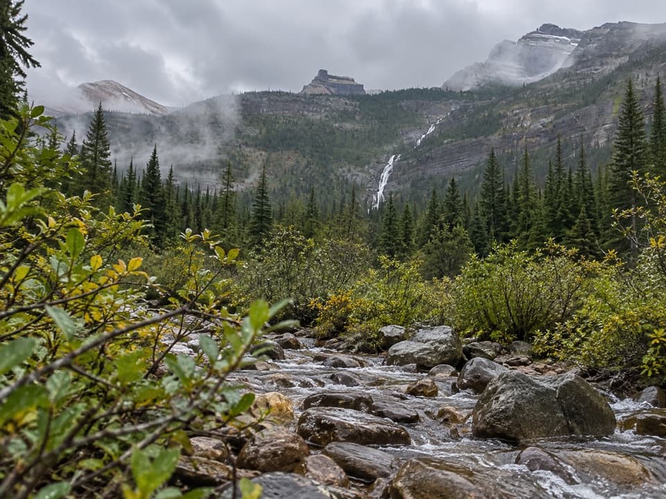 ChallengingAmiskwi Pass Trail72.2 km · 1.3 days · 5.4 km awayA remote valley trek with three river fords and a high pass.
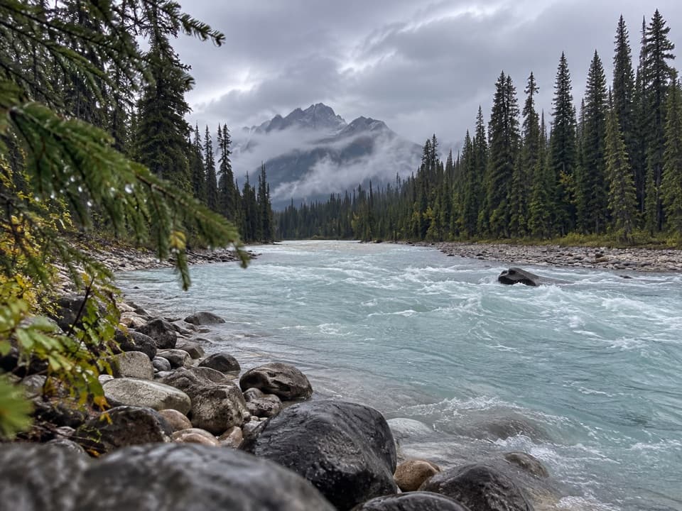 EasyKicking Horse Fire Road13.8 km · 4 hr · 5.4 km awayGentle riverside road with a picnic stop and old bridge.
 ModerateTally-Ho Trail6.4 km · 2 hr · 5.4 km awayA 6.4 km out-and-back from Natural Bridge.
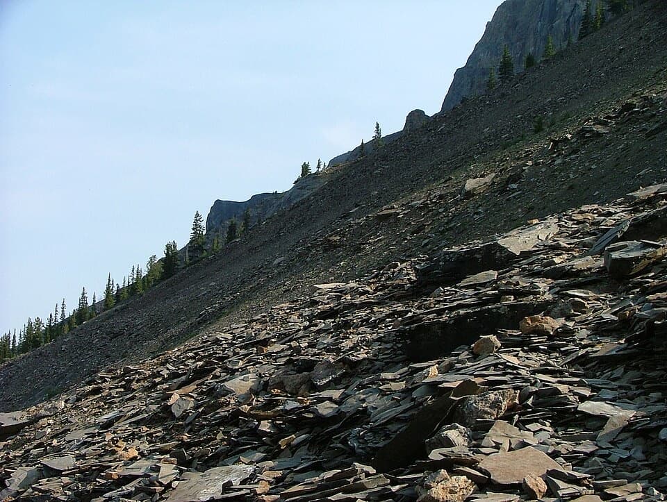 ChallengingMount Stephen Guided Fossil Hike8 km · 7.5 hr · 8 km awayA steep guided climb to Yoho’s restricted trilobite beds.
 ChallengingSouth Burgess Pass Trail12.7 km · 6.5 hr · 9 km awayA steep climb from Field to a high pass above town.
 ChallengingHamilton Lake Trail10.2 km · 5.5 hr · 11.5 km awayA steep climb for an alpine tarn beneath the high peaks.
 Sight · 5.3 km awayNatural BridgeSee the Kicking Horse River squeeze beneath a limestone ledge.
 Picnic area · 7 km awayFinn Creek Day-use AreaA creekside pause beside the Trans-Canada.
 Restaurant · 7.8 km awayTruffle Pigs Bistro + LodgeA bistro lodge known for its beet-and-yam Purple Burger.
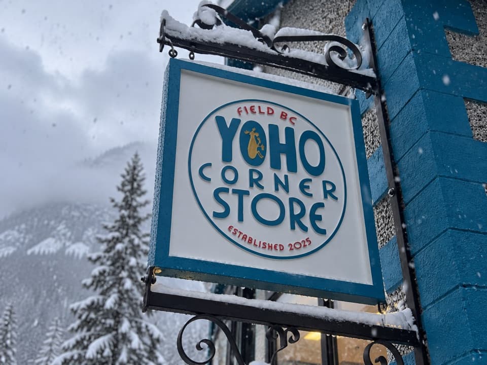 Store · 7.8 km awayYoho Corner StoreA café for a meal and grocery basics in Field.
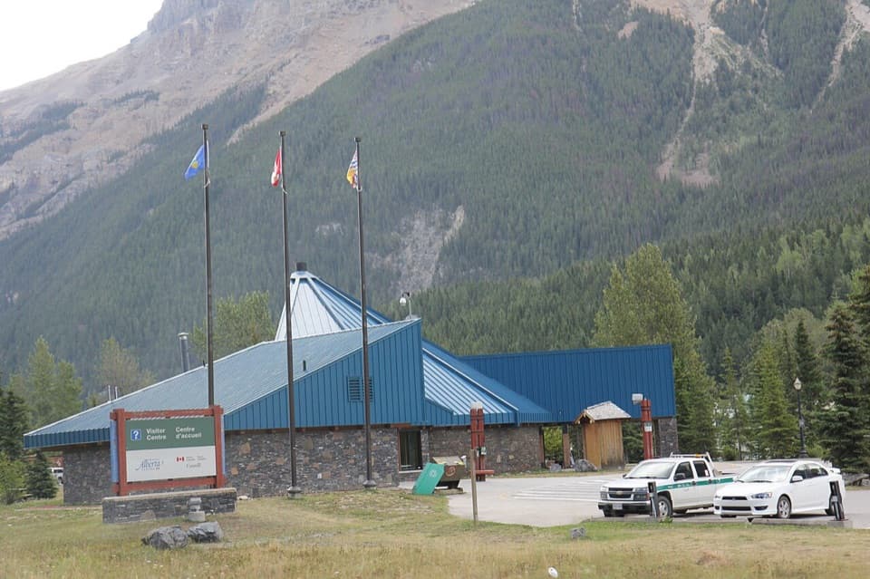 Visitor center · 8 km awayYoho National Park Visitor CentreA useful stop for park advice, fossils, and year-round washrooms.
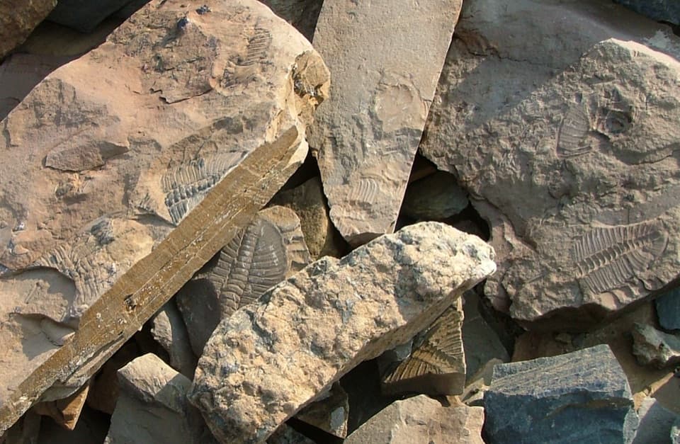 Sight · 8 km awayMount Stephen Trilobite BedsA guided fossil hike with big trilobites and a bigger climb.
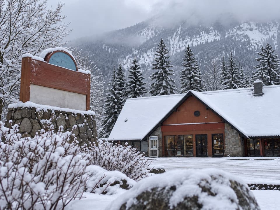 Gas station · 8.1 km awayYoho Brothers Trading PostField’s practical stop for fuel and a few essentials.
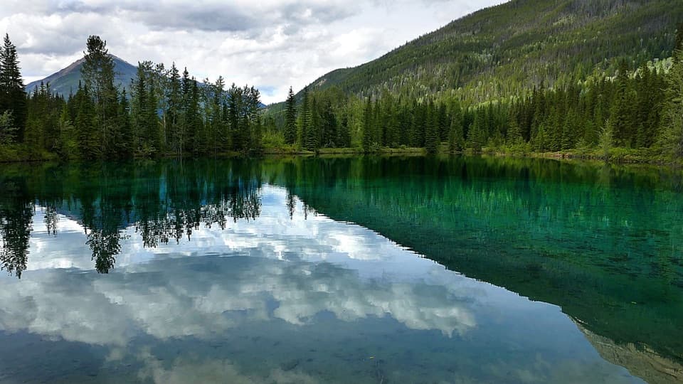 Picnic area · 11 km awayFaeder Lake Day Use AreaA lakeside picnic stop, though late summer can leave it dry.
Parkwolf’s Yoho ranking

The audio tour guide for the drive, plus offline maps, trails, and wildlife heatmaps for when the signal drops.