Parking
Use the Lake O’Hara parking lot at the gated access road off the Trans-Canada Highway. Reserve the day shuttle; private vehicles cannot continue beyond the gate. Without a shuttle, the road walk is 11 km each way.

Yoho National Park, BC
A steep climb earns a full lap around a turquoise alpine lake.
Overview
Map & elevation
Plan your hike

The highest, rockiest slopes around here are a summer buffet for grizzly bears.
Yoho Tour Guide
Parkwolf is a GPS audio tour guide for Yoho National Park. As you drive, it chimes in with what’s ahead: hidden gems, upcoming stops, history, geology, and wildlife, right through your car’s speakers.
See the Yoho audio tourMore stories near here in the app
“Fantastic app with many points of information… It’s great to just turn on while you’re driving and it gives you an audio tour of the national Park. We love it!!!!”


Trail guide
Linda Lake Circuit and Morning Glory Lakes is the longer 5.3-mile (8.6 km) point-to-point route from Elizabeth Parker Hut to the Lake O’Hara Campground. It follows the Morning Glory trail network to Linda Lake, circles the shore, then descends through the Cataract Brook connections toward the campground. Allow about four to four and a half hours. A shorter 3.5 km one-way route is also marked through this basin; the two distances describe different ways through the same trail network, so check your map before setting out.
From the hut, the path crosses a meadow and stays fairly level through forest for about 1.6 km. At the ridge junction, a cutoff past Lower Morning Glory Lake returns toward camp sooner. The longer circuit continues northwest on the Linda Lake Beeline, which climbs steeply for the next 300 m of trail. At the top, follow the shoreline around Linda Lake and take the gradual switchbacks down to the Lower Morning Glory junction before continuing toward the campground.
The lake is the payoff: turquoise water beneath a steep mountain skyline, with a real shoreline circuit instead of a quick out-and-back to the water. Give yourself time here. From the shore, keep some of the dark spruce and mountain wall in the frame with the water; it shows the shape of the basin better than a tight crop of the lake alone.
Cataract Brook is part of a larger wildlife corridor linking the eastern and western slopes of the Rockies. The surrounding highlands have seasonal protections to reduce disturbance. Stay on the signed trail through the meadows and lake connections.
Access to Lake O’Hara is quota-controlled. The day-use shuttle leaves from the parking lot at the gated access road and must be reserved in advance; private cars cannot continue to the trailhead. Without a shuttle, the access road is an 11 km walk each way. This route starts at Elizabeth Parker Hut and finishes by the campground, so plan how you’ll get back to the shuttle stop. Dogs can be leashed on backcountry trails, but they cannot ride the shuttle or enter the campground; reach the area on foot with a dog and stop outside the campground. Higher routes can remain snowbound into late June, so check trail and avalanche conditions early in the season.
Wildlife
 21 sightingsGrizzly BearMost seen around 6 AMSighting map
 55 sightingsMountain GoatMost seen around 8 AMSighting map
 61 sightingsBlack BearMost seen around 8 PMSighting map
 66 sightingsElkMost seen around 7 PMSighting map
 26 sightingsMooseMost seen around 6 AMSighting map
 10 sightingsBald EagleMost seen around 7 AMSighting map
Sighting maps show where each species has been reported across Yoho. Wildlife moves, so no sighting is guaranteed.
Keep exploring
 ModerateLower Morning Glory Lakes Trail5.5 km · 2.5 hr · At the trailheadRocky paths lead from a hut meadow past small alpine lakes.
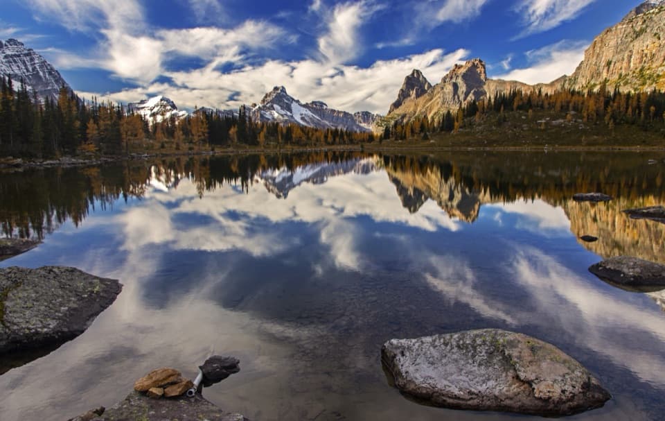 ModerateOpabin Plateau Circuit6.7 km · 2.8 hr · 0.2 km awayA steep climb opens onto alpine lakes beneath a glacier.
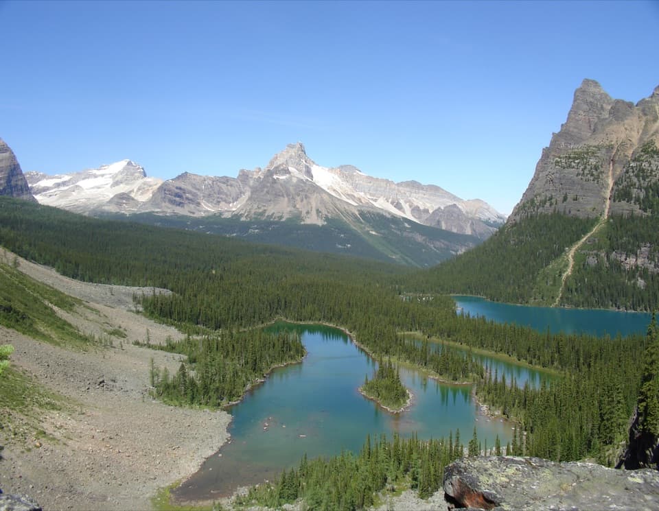 ModerateOpabin Prospect via West Opabin Trail5.5 km · 2.5 hr · 0.2 km awayA steep climb to a cliff-edge view over Lake O’Hara.
 ModerateLake McArthur Circuit8 km · 3.5 hr · 0.4 km awayA proper alpine loop to a bright lake ringed by steep peaks.
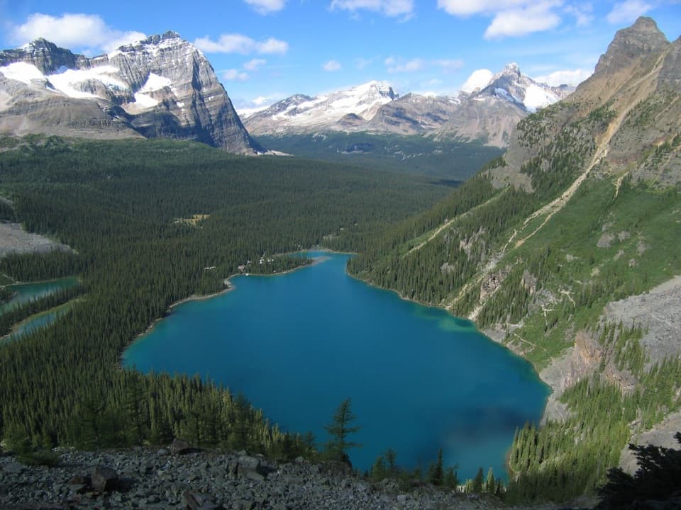 ChallengingLake O’Hara Alpine Circuit11.1 km · 6 hr · 0.4 km awayExposed ledges, high lakes, and a full circuit above Lake O’Hara.
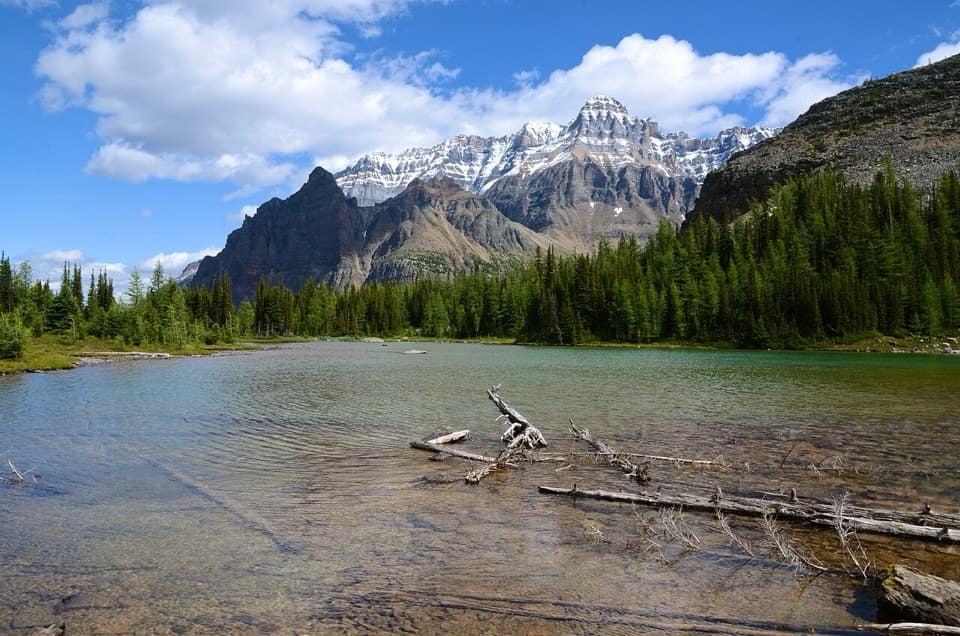 ModerateBig Larches and Schäffer Lake Loop3.2 km · 1.8 hr · 0.4 km awayA short alpine loop through larches to a clear mountain lake.
 ModerateLake Oesa Trail6.4 km · 2.5 hr · 0.4 km awayStone steps, copper cliffs and a turquoise lake in its rock basin.
 ChallengingWiwaxy Gap / Huber Ledges Loop to Lake Oesa7.2 km · 5 hr · 0.4 km awayA steep alpine loop over Wiwaxy Gap to Lake Oesa.
 Lodging · At the trailheadElizabeth Parker HutA bookable hut base for Lake O’Hara’s alpine trails.
 Sight · 0.4 km awayLake O’HaraAlpine lake and hanging valleys, with a trail network to match.
 Food · 0.4 km awayLe Relais Day ShelterA warm trail stop for advice, hot drinks and carrot cake.
 Lodging · 0.5 km awayLake O’Hara LodgeA historic lakeshore base at the head of an alpine trail network.
 Campground · 0.7 km awayLake O’Hara CampgroundA 30-site backcountry base for Lake O’Hara hikes.Sight · 1.3 km awayOpabin ProspectA short spur opens onto the cliffs above Lake O’Hara.
 Sight · 1.4 km awaySeven Veils FallsA waterfall beneath pink quartzite earns a stop on the lakeshore loop.
 Sight · 2.5 km awayLake McArthurA blue alpine lake reached through larch forest and over a pass.
Parkwolf’s Yoho ranking

The audio tour guide for the drive, plus offline maps, trails, and wildlife heatmaps for when the signal drops.

