Lower Morning Glory Lakes Trail in Yoho National Park

Yoho National Park, BC

Lower Morning Glory Lakes Trail

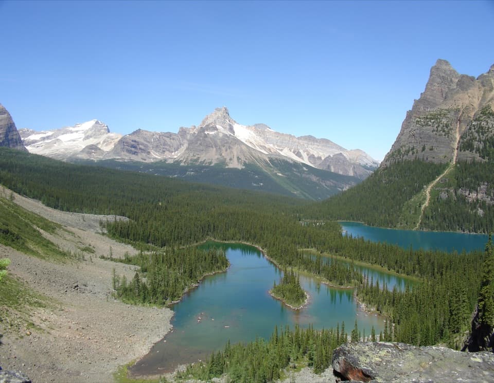
Rocky paths lead from a hut meadow past small alpine lakes.

Photo: CC BY-SA 2.0
Length
5.5km
Time
2.5hr
Elev. change
121m
Difficulty
Moderate
  • Dogs allowed
  • High point 2,103 m
Parkwolf audio tour35 stories across Yoho’s roads

Overview

About Lower Morning Glory Lakes Trail

The Lower Morning Glory Lakes Trail is a 3.4-mile (5.5-km) out-and-back from Elizabeth Parker Hut meadow to the lower lakes and back. Allow about 2–3 hours for the forest approach, uneven rock and log bridges. Some descriptions call this a longer campground circuit, but its complete return connector is not traceable in the available map; this route follows the mapped approach and returns on the same trail.

Why go

  • Three small alpine lakes on a modest outing
  • Starts in the Elizabeth Parker Hut meadow

Heads up

  • Rocky footing and several log bridges
  • The verified route is an out-and-back, not a fully mapped loop

Map & elevation

The route

Loading the Yoho map
Full map
Elevation1,982–2,103 m
TrailheadElizabeth Parker Hut meadow51.35556, -116.34426
Keep this map with you offline in the Parkwolf app

Plan your hike

Before you go

Parking

Park at the Lake O’Hara roadhead and take the reserved seasonal shuttle. From Le Relais, follow the trail network to Elizabeth Parker Hut meadow. Walking the 11-km access road is permitted but adds 22 km round-trip; cycling is prohibited on the road.

Safety

Irregular glacial rock and several log bridges make footing uneven. The day-use shuttle does not carry pets; a leashed dog must walk the 11-km access road each way and cannot enter the campground.

5 active Yoho alerts

  • ClosureYoho Valley Road closed for avalanche seasonYoho Valley Road is closed to vehicles from mid-October to mid-June because of avalanche risk. - Parks Canada’s current trail report lists no vehicle access to trails in the Yoho Valley.Official details
  • CautionWatercraft and angling prohibited in YohoWatercraft use and angling are prohibited on all waterbodies in Yoho National Park until March 31, 2027, to reduce the spread of aquatic invasive species, including whirling disease.Official details
See all 5 alerts
A park ranger sits on a dash-mounted phone, talking, as Parkwolf’s Tour Guide plays “Army Cutworm Moths: A Grizzly Bear Buffet” on Grand Loop Road below Dunraven Pass in Yellowstone
Parkwolf Tour GuideThe highest, rockiest slopes around here are a summer buffet for grizzly bears.

Yoho Tour Guide

Your drive to Lower Morning Glory Lakes Trail, narrated.

Parkwolf is a GPS audio tour guide for Yoho National Park. As you drive, it chimes in with what’s ahead: hidden gems, upcoming stops, history, geology, and wildlife, right through your car’s speakers.

See the Yoho audio tour

More stories near here in the app

  • Lower Spiral Tunnel: Climbing Inside the Mountain
  • A Predator With a Softer Menu
  • The Bird That Plants Pines
  • Sherbrooke Lake and Paget Lookout: Choose Your Climb
  • 35 audio storiesacross Yoho’s roads, triggered by GPS as you drive
  • Wildlife heatmapsfor Grizzly Bear, Mountain Goat, Black Bear, and 13 more
  • Works offlinemaps, 54 trails, 58 places, and audio download before you lose signal
  • CarPlay readysimple controls built for the drive
★★★★★
“Fantastic app with many points of information… It’s great to just turn on while you’re driving and it gives you an audio tour of the national Park. We love it!!!!”
JMJamesApp Store review
Download Parkwolf on the App StoreGet Parkwolf on Google Play

4.7 from 8,600+ ratings

Trail guide

Hiking Lower Morning Glory Lakes Trail

Route and footingFrom the hut meadow, cross open ground into forest and follow the trail toward the lower lakes.

From the hut meadow, cross open ground into forest and follow the trail toward the lower lakes. The forest approach is relatively gentle; footing gets rougher among glacially deposited rocks near the lakes, with several log bridges. The map stops at the outer lake section and follows the same path back. Do not continue onto the longer Linda Lake route unless that is your intended hike.

Lakes and meadowThe small lakes sit below steep mountain slopes, while the route starts and ends in the open…

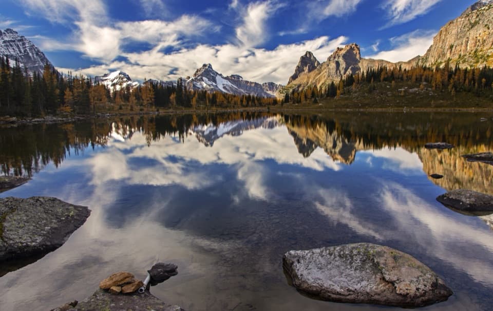
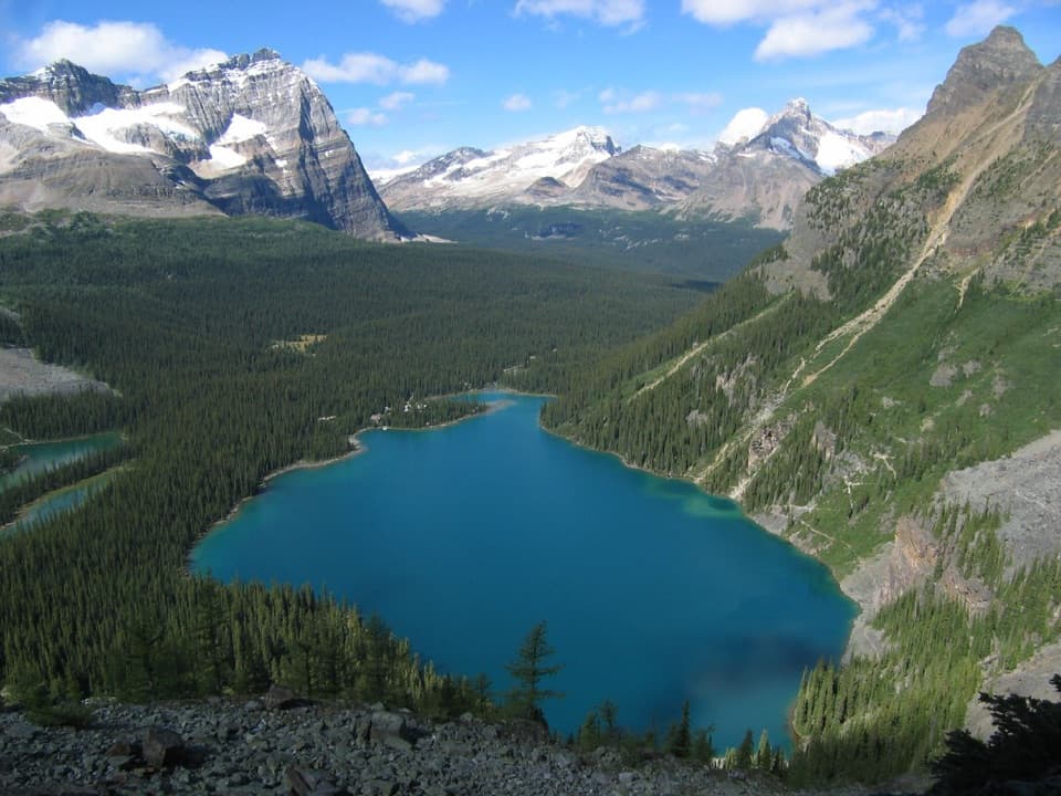
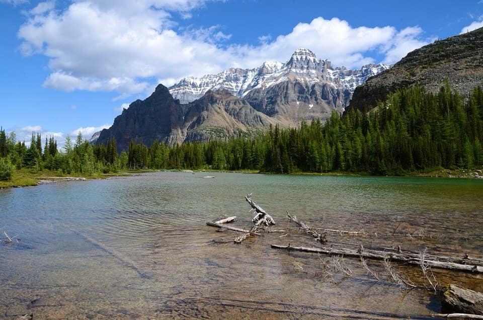
The small lakes sit below steep mountain slopes, while the route starts and ends in the open meadow around Elizabeth Parker Hut. Stay on the established path through this fragile alpine meadow. At the lakes, a calm stretch of water can reflect the rocky peaks; keep to the shore-side tread.

Getting to the trailheadLake O’Hara day-use access is controlled: reserve the seasonal shuttle from the roadhead…

Lake O’Hara day-use access is controlled: reserve the seasonal shuttle from the roadhead parking lot, or walk the 11-km access road each way; cycling is not allowed on the road. The hut meadow is reached from Le Relais on the trail network. Le Relais sells hot drinks and snacks for cash during hiking season. Pets cannot ride the shuttle or enter the campground; leashed dogs may use the access road, so bringing one means the long walk in and out.

Wildlife

Wildlife in Yoho

All Yoho wildlife maps

Sighting maps show where each species has been reported across Yoho. Wildlife moves, so no sighting is guaranteed.

Keep exploring

Near Lower Morning Glory Lakes Trail

See it all on the map

Trails that start nearby

Places near the trailhead

Parkwolf’s Yoho ranking

Top-rated trails in Yoho

All 54 trails
  1. 1Lake O’Hara Alpine CircuitChallenging · 11.1 km
  2. 2Iceline via Little YohoChallenging · 20.3 km
  3. 3Lake McArthur CircuitModerate · 8 km
  4. 4Opabin Plateau CircuitModerate · 6.7 km
  5. 5Emerald Lakeshore TrailEasy · 5.2 km
  6. 6Lake Oesa TrailModerate · 6.4 km

Take Parkwolf to Yoho.

The audio tour guide for the drive, plus offline maps, trails, and wildlife heatmaps for when the signal drops.

4.7 from 8,600+ ratings

Download Parkwolf on the App StoreGet Parkwolf on Google Play