Parking
For the Rafferty Creek start, use Tuolumne Meadows Wilderness Center or Dog Lake parking as directed by the park. Tioga Road access is seasonal, and overnight parking on Tioga Road and its lots is prohibited beginning October 15.
Yosemite National Park, CA
A high-country loop linking three of Yosemite’s High Sierra Camps.
Overview
Map & elevation
Plan your hike

“The Sierra has a wet side and a dry side, and the mountains help create the difference. Moist air arriving from the Pacific rises over the western slopes. As it climbs, it cools, and water falls as rain or snow.”
Yosemite Tour Guide
Parkwolf is a GPS audio tour guide for Yosemite National Park. As you drive, it chimes in with what’s ahead: hidden gems, upcoming stops, history, geology, and wildlife, right through your car’s speakers.
See the Yosemite audio tourRecorded for this area
Why the Sierra Has a Dry Side“The Sierra has a wet side and a dry side, and the mountains help create the difference. Moist air arriving from the Pacific rises over the western slopes. As it climbs, it cools, and water falls as rain or snow.”
Plays on the road 1 mi from the trailhead in the Parkwolf Yosemite Tour Guide.
More stories near here in the app
“We just drove through Yosemite and it made our trip listening to this app as we drove through. Like having a tour guide in the car with you.”


Trail guide
Vogelsang to Cathedral is a 34.4-mile high-country backpacking loop linking Vogelsang, Merced Lake, and Sunrise High Sierra Camps. It starts at the Rafferty Creek entry, follows the camp network south and west, then returns north through the Cathedral Lakes and Tuolumne Meadows trail corridor. The park publishes 33.3 miles and 4,550 feet of gain; this connected mapped line measures 34.4 miles. Treat the distance as approximate and confirm the route against the current wilderness map before setting out. Plan three or four hiking days; this is a serious high-elevation backpack, not a day hike.
The opening stretch follows the Lyell Fork through subalpine meadows, then climbs along Rafferty Creek toward Tuolumne Pass and Vogelsang High Sierra Camp. This is the loop’s first sustained ascent and carries the route into high, open terrain. The park’s trailhead table lists both Rafferty Creek and Cathedral Lakes as possible entry points, so match your planned direction to the trailhead on your permit.
From Vogelsang the route continues to Merced Lake, then turns north toward Sunrise High Sierra Camp and the Cathedral Lakes corridor before closing back at Rafferty Creek. Those three camps are the route’s defining waypoints. The exact route line is not published as a downloadable track, so check the park’s current wilderness map before relying on the mapped connector or planning camps.
An overnight wilderness permit is required, and the park lists high demand for this entry. Carry an allowed bear-resistant canister for food and scented items; hanging food is prohibited. Camping within a mile of a High Sierra Camp is restricted to designated sites. Pets are not allowed on Yosemite trails or in wilderness. For the Rafferty Creek start, use the Tuolumne Meadows Wilderness Center or Dog Lake parking as directed by the park. Tioga Road access is seasonal, and overnight parking on Tioga Road and its lots is prohibited beginning October 15.
Wildlife
 732 sightingsBlack BearMost seen around 7 PMSighting map
 1,747 sightingsMule DeerMost seen around 6 PMSighting map
 332 sightingsCoyoteMost seen around 7 PMSighting map
 11 sightingsPeregrine FalconMost seen around 8 AMSighting map
 276 sightingsPikaMost seen around 8 AMSighting map
 677 sightingsYellow-bellied MarmotMost seen around 8 AMSighting map
Sighting maps show where each species has been reported across Yosemite. Wildlife moves, so no sighting is guaranteed.
Keep exploring
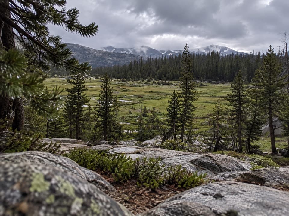
 ModerateLyell Canyon Trail11.4 mi · 6 hr · 1 mi awayA long walk among meadows, river crossings, and open high country.
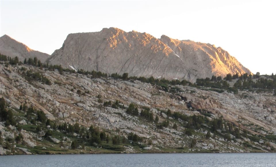 ChallengingIreland and Evelyn Lakes Loop22.2 mi · 12 hr · 1.1 mi awayTwo alpine lakes reward a long loop through a river meadow.
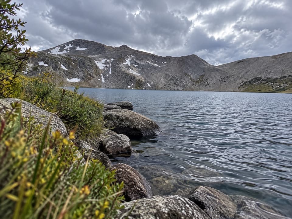 ChallengingIreland Lake Trail19.8 mi · 9 hr · 1.1 mi awayA long walk from Lyell Canyon to a quiet alpine lake.ChallengingEvelyn Lake Trail17.2 mi · 10.5 hr · 1.1 mi awayA full-day climb to a lake beneath Fletcher Peak.
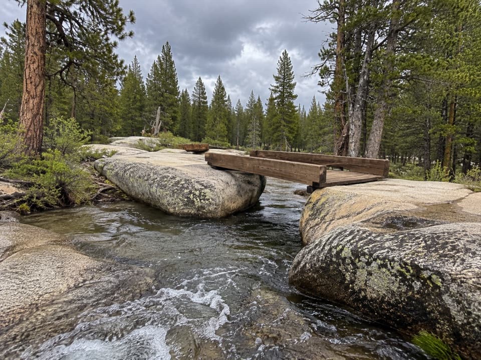 EasyTwin Bridges of Lyell Fork Trail1.6 mi · 1.5 hr · 1.1 mi awayA gentle river walk to two timber bridges on Lyell Fork.
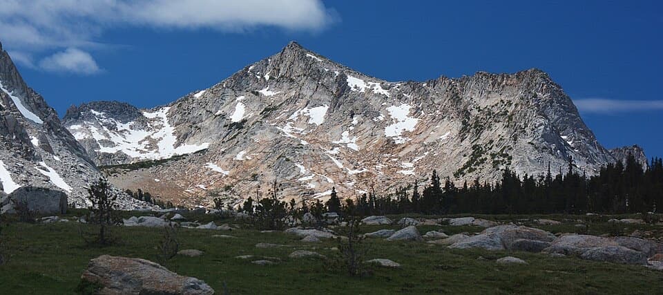 ChallengingVogelsang High Sierra Camp Trail14.4 mi · 9 hr · 1.1 mi awayA long meadow climb to a granite camp beneath two high peaks.
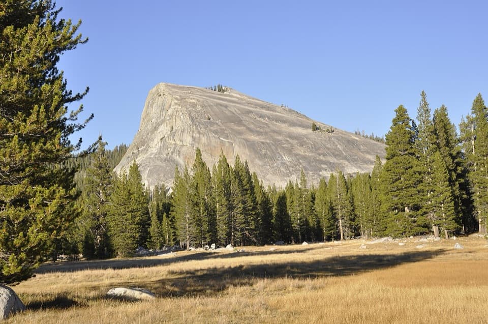 ModerateLembert Dome Trail2.1 mi · 2 hr · 1.2 mi awayShort forest climb, bare granite, and a Tuolumne Meadows panorama.
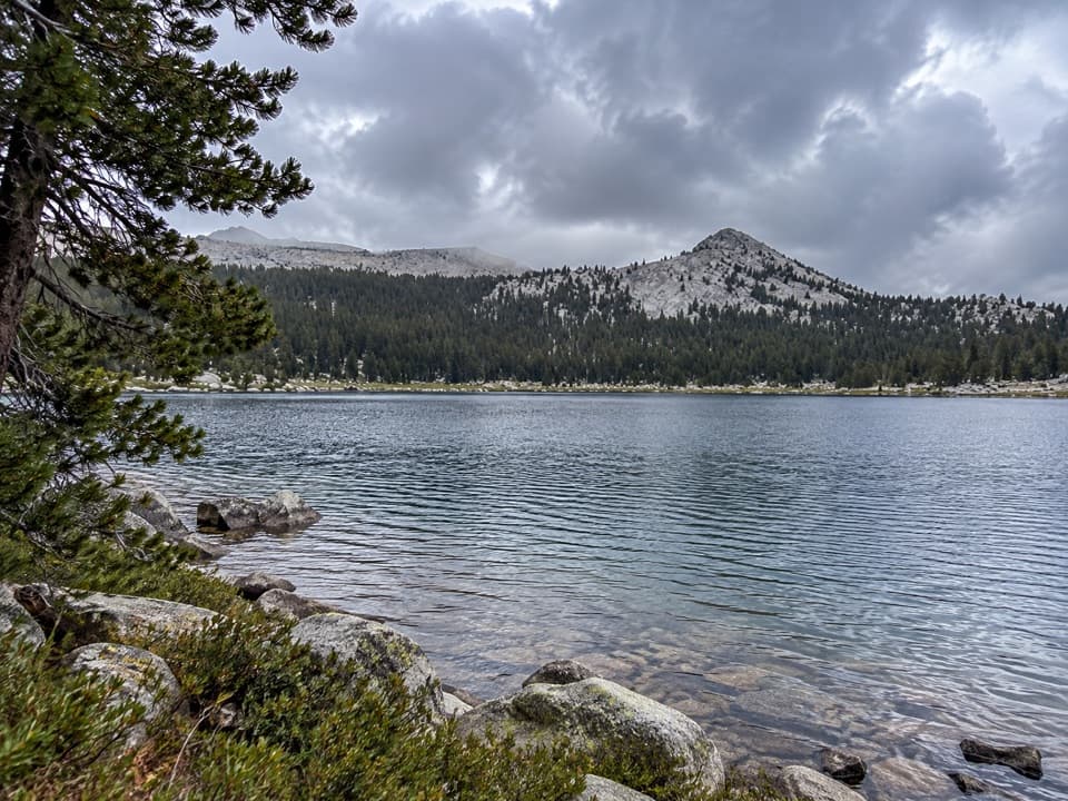 ModerateLower Gaylor Lake Trail4.7 mi · 3 hr · 1.4 mi awayA high-country lake with a faint final approach.
 Lodging · 0.9 mi awayTuolumne Meadows LodgeCanvas cabins beside the river, with trails on your doorstep.
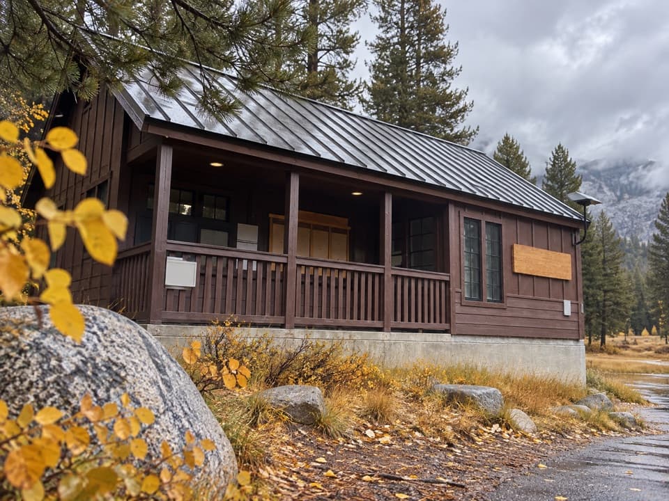 Ranger station · 1.4 mi awayTuolumne Meadows Wilderness CenterTalk over your route and get a backcountry permit.
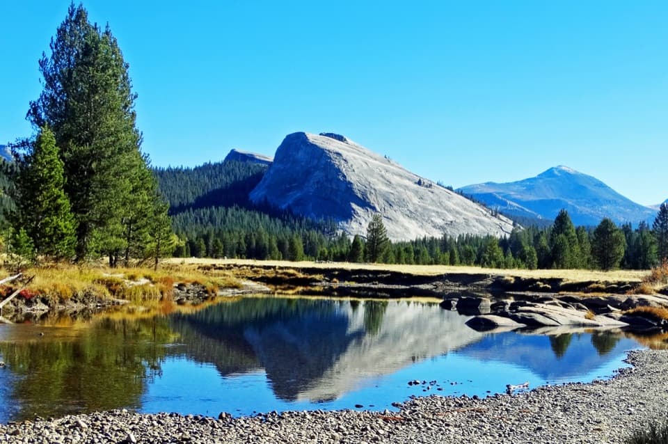 Sight · 1.7 mi awayLembert DomeA steep granite climb earns a wide-open Tuolumne panorama.
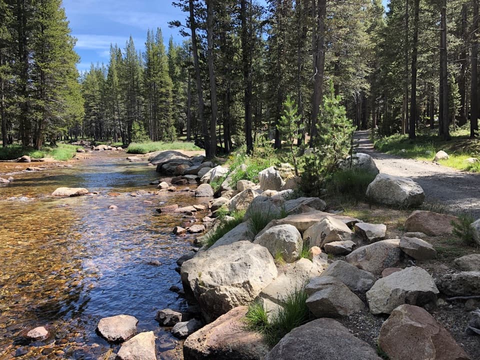 Campground · 1.8 mi awayTuolumne Meadows CampgroundA high-country base for Tuolumne's hikes, lakes, and river.
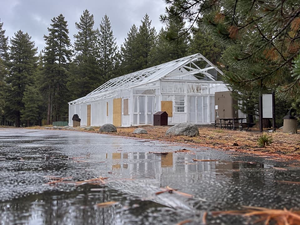 Food · 1.9 mi awayTuolumne Meadows Store and GrillLunch and trail basics before the high-country miles.
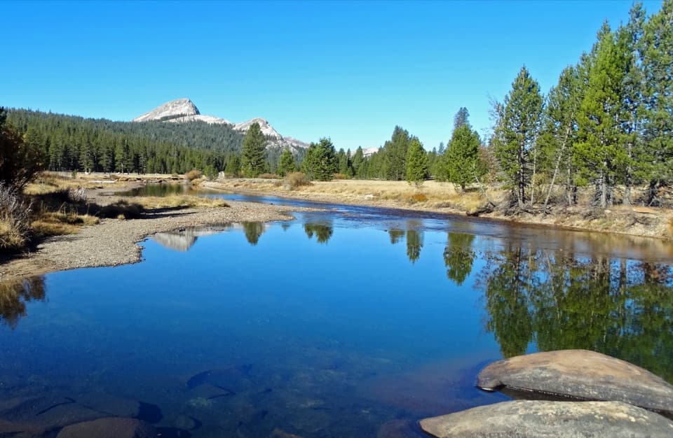 Sight · 2.2 mi awayTuolumne MeadowsA high-country meadow with river bends and granite domes.
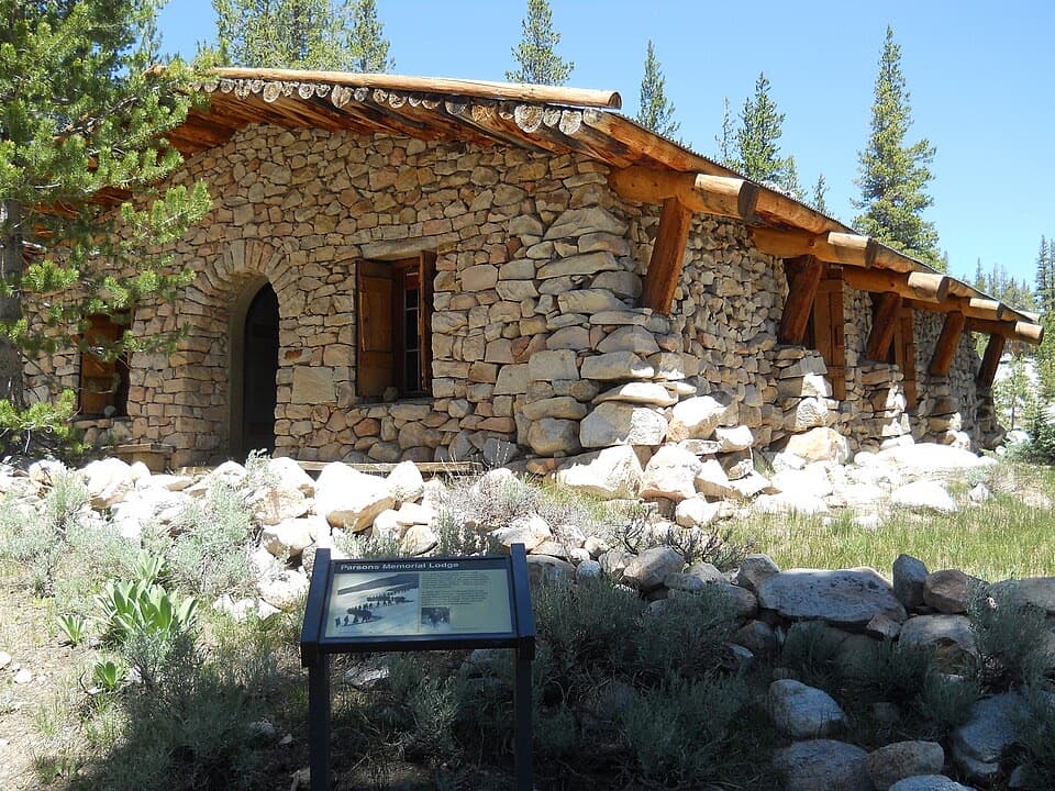 Sight · 2.6 mi awayParsons Memorial Lodge and Soda SpringsA short walk joins a 1915 lodge with bubbling meadow springs.
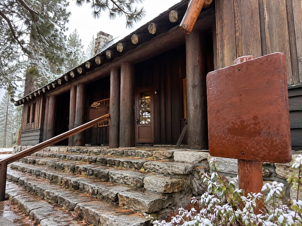 Visitor center · 2.8 mi awayTuolumne Meadows Visitor CenterA ranger desk, geology exhibits and a CCC story beside the meadow.
Parkwolf’s Yosemite ranking

The audio tour guide for the drive, plus offline maps, trails, and wildlife heatmaps for when the signal drops.





