Lyell Canyon Trail in Yosemite National Park

Yosemite National Park, CA

Lyell Canyon Trail

A long walk among meadows, river crossings, and open high country.

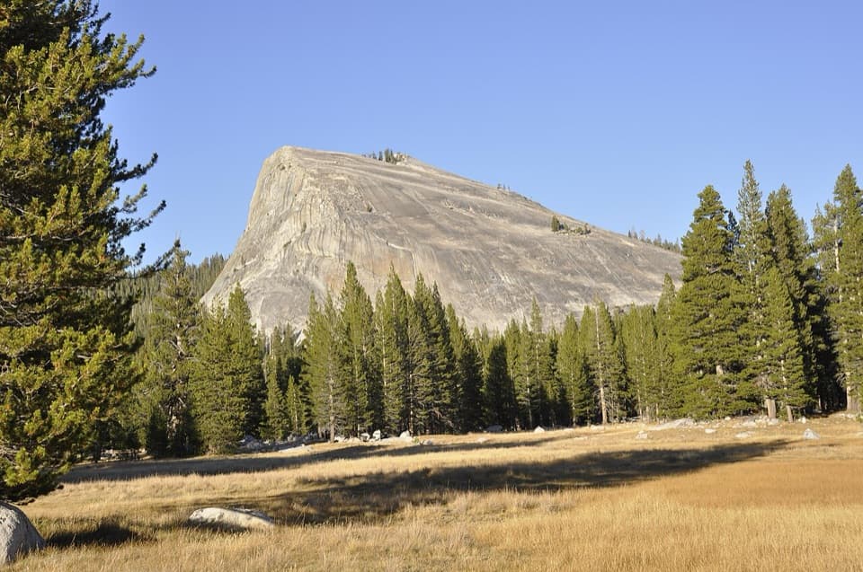
Photo: Wikimedia Commons
Length
11.4mi
Time
6hr
Elev. change
272ft
Difficulty
Moderate
  • No dogs
  • High point 8,934 ft

Hear the audio tour

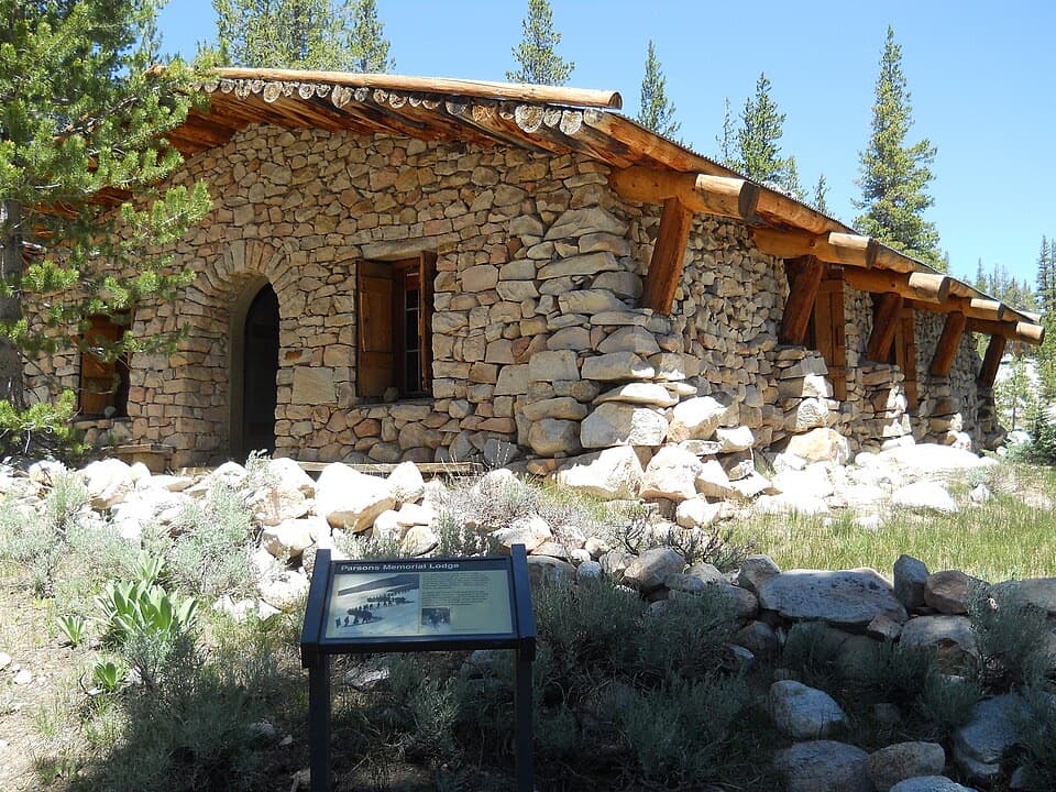
Tuolumne Meadows Lodge and Lyell Canyon

Overview

About Lyell Canyon Trail

Why go

  • A long stretch of open meadows and river scenery with very little climbing
  • Twin Bridges, Rafferty Creek and the Ireland Lake junction give clear route landmarks

Heads up

  • The 11.4-mile distance at high elevation makes this a full-day hike

Map & elevation

The route

Loading the Yosemite map
Full map
Elevation8,661–8,934 ft
TrailheadLyell Canyon Trailhead, Tuolumne Meadows Lodge access37.87774, -119.33501
Keep this map with you offline in the Parkwolf app

Plan your hike

Before you go

Parking

Take the Tuolumne Meadows Lodge turnoff and use the public lot on that road, about 100 meters west of the signed trailhead. Walk to the southwest corner of the Lodge parking area for the John Muir Trail sign. The Dog Lake lot beside Tioga Road is a different access, and the main Lodge lot is reserved for guests.

Best time to go

Tioga Road is seasonal, so this hike is available only while the road is open. Snow can linger in the first weeks after opening, and early-summer meadows can be muddy or marshy. Stay on the tread and walk through puddles rather than widening the path around them. Dogs are not allowed on Yosemite hiking trails.

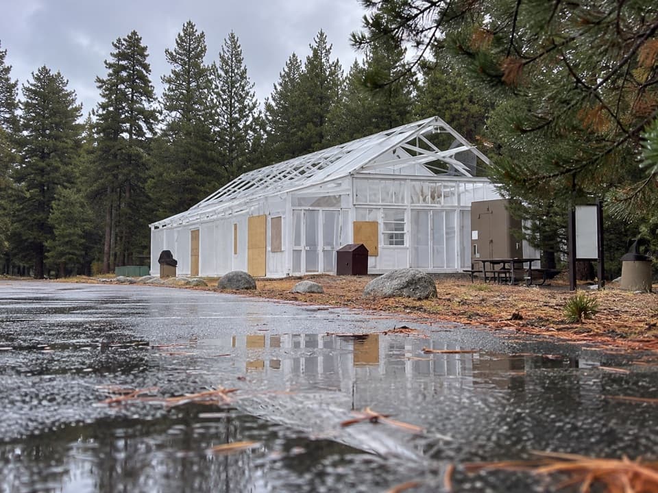
Use the public lot on the Tuolumne Meadows Lodge road, about 100 meters west of the signed trailhead. The lot beside Tioga Road with a Dog Lake sign is a different access, and the main Lodge parking area is reserved for guests. When the Lodge is operating, it has restrooms and basic snacks; the broader grill and cafeteria are about a mile west, off the route.

Safety

This is a long hike starting around 8,700 feet. One creek crossing beyond Rafferty Creek has no bridge; a log crossing is used, and high water can make it difficult. Early-summer mud and marshy meadow tread are recurring conditions. Overnight travel requires a wilderness permit; pets are prohibited on Yosemite hiking trails.

4 active Yosemite alerts

  • ClosureDome Fire closes Glacier Point Road and trailsGlacier Point Road is temporarily closed because Dome Fire smoke reduces visibility and to allow firefighting operations; some trails south of the road are also closed.Official details
  • CautionMist Trail access limited during October repairsThe Mist Trail between its John Muir Trail junction above the Vernal Fall footbridge and the top of Vernal Fall has limited access through October for repair work.Official details
See all 4 alerts
The Parkwolf Tour Guide on a dash-mounted phone, driving into Yosemite Valley

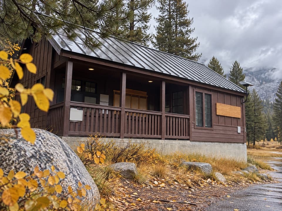
“You're approaching the Tuolumne Meadows Lodge road, with access to Lyell Canyon. The seasonal lodge is a cluster of canvas tent cabins beside the river, with beds and wood stoves but no electricity or Wi-Fi.”

Yosemite Tour Guide

Yosemite, narrated.

Parkwolf is a GPS audio tour guide for Yosemite National Park. As you drive, it chimes in with what’s ahead: hidden gems, upcoming stops, history, geology, and wildlife, right through your car’s speakers.

See the Yosemite audio tour

Recorded for this trailhead

Tuolumne Meadows Lodge and Lyell Canyon
0:00 / 0:33
“You're approaching the Tuolumne Meadows Lodge road, with access to Lyell Canyon. The seasonal lodge is a cluster of canvas tent cabins beside the river, with beds and wood stoves but no electricity or Wi-Fi.”

Plays as you drive up to this trailhead in the Parkwolf Yosemite Tour Guide.

More stories near here in the app

  • Why the Sierra Has a Dry Side
  • Lembert Dome
  • Tuolumne Meadows Store and Grill
  • Soda Springs and Parsons Memorial Lodge
  • 125 audio storiesacross Yosemite’s roads, triggered by GPS as you drive
  • Wildlife heatmapsfor Black Bear, Peregrine Falcon, Mule Deer, and 13 more
  • Works offlinemaps, 141 trails, 99 places, and audio download before you lose signal
  • CarPlay readysimple controls built for the drive
★★★★★
“We just drove through Yosemite and it made our trip listening to this app as we drove through. Like having a tour guide in the car with you.”
Roddy 3210App Store review
Download Parkwolf on the App StoreGet Parkwolf on Google Play

4.7 from 8,600+ ratings

Trail guide

Hiking Lyell Canyon Trail

The long walk through Lyell CanyonLyell Canyon Trail is an 11.

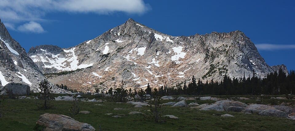
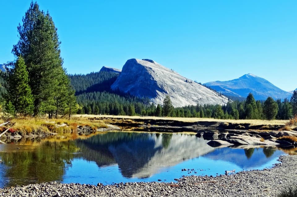
Lyell Canyon Trail is an 11.4-mile out-and-back on the John Muir and Pacific Crest trails, from the signed Tuolumne Meadows access to the Ireland Lake junction and back. The route climbs only about 300 feet, but it starts around 8,700 feet and takes most of a day: allow five to seven hours with stops. You get a long, easy-grade walk through lodgepole forest and open meadows, with the Tuolumne River, Kuna Crest and Mount Lyell along the way.

Follow the signed crossingThe signed trail starts by the southwest corner of the Tuolumne Meadows Lodge parking area.

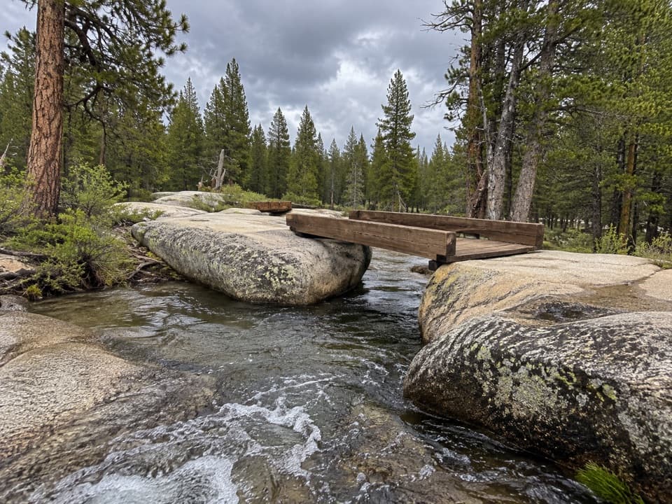
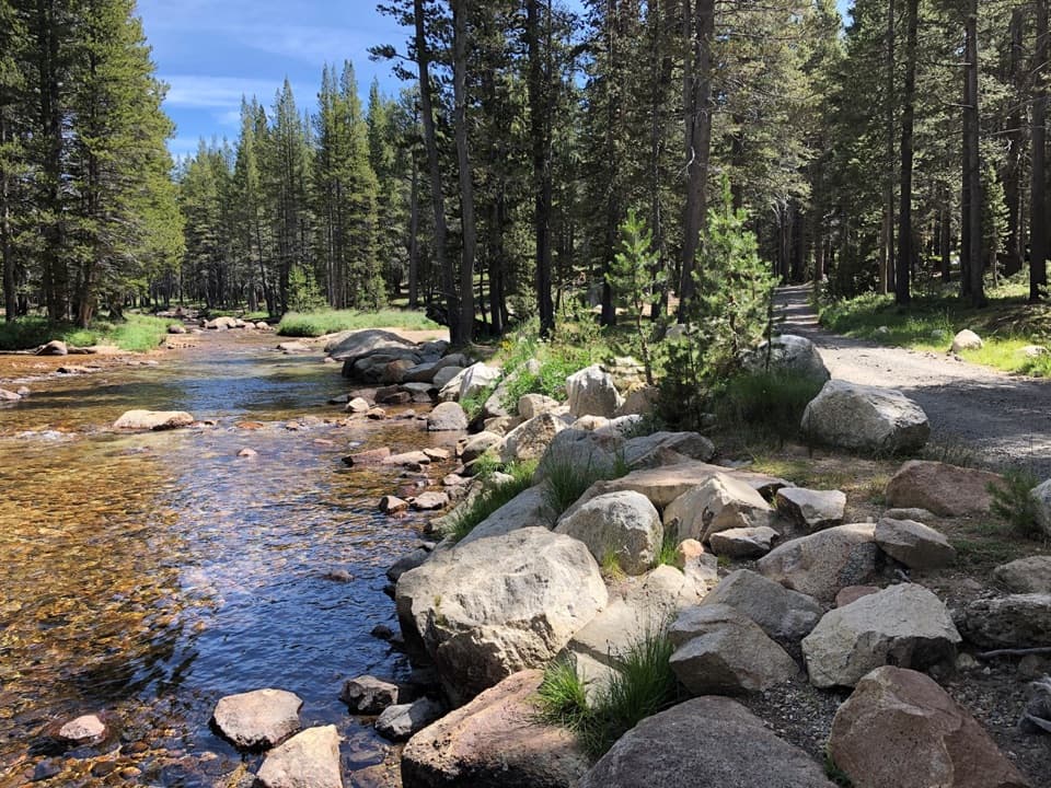
The signed trail starts by the southwest corner of the Tuolumne Meadows Lodge parking area. At the first fork, take the left branch over the bridge across Dana Fork; the right branch stays beside the river. At the early junctions, follow signs for Lyell Canyon or Donohue Pass. The trail passes Twin Bridges, where two bridges cross the Lyell Fork beside small cascades and a meadow. That makes a natural shorter turnaround if you do not want the full day.

Meadows, river and treadAbout a mile and a half in, the route crosses Rafferty Creek on a bridge.

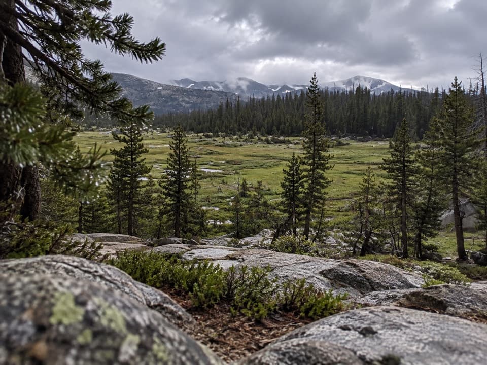
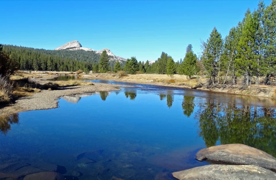
About a mile and a half in, the route crosses Rafferty Creek on a bridge. A little beyond it is a creek crossing without a bridge; a log crossing is commonly used, and high water can make it awkward. Around two miles from the start, a broad meadow opens beside the Lyell Fork. Farther south, the trail turns through smaller meadows with the Tuolumne River. Most of the first eight miles are smooth and nearly level, so the distance and altitude are the commitment more than steep climbing.

When the route opens into the meadow, keep the river in the foreground with Kuna Crest and Mount Lyell behind it. That gives the view some depth and shows how the canyon widens around the water.

Turn around at the Ireland Lake forkA little over five miles into the walk, the JMT/PCT reaches the Ireland Lake junction.

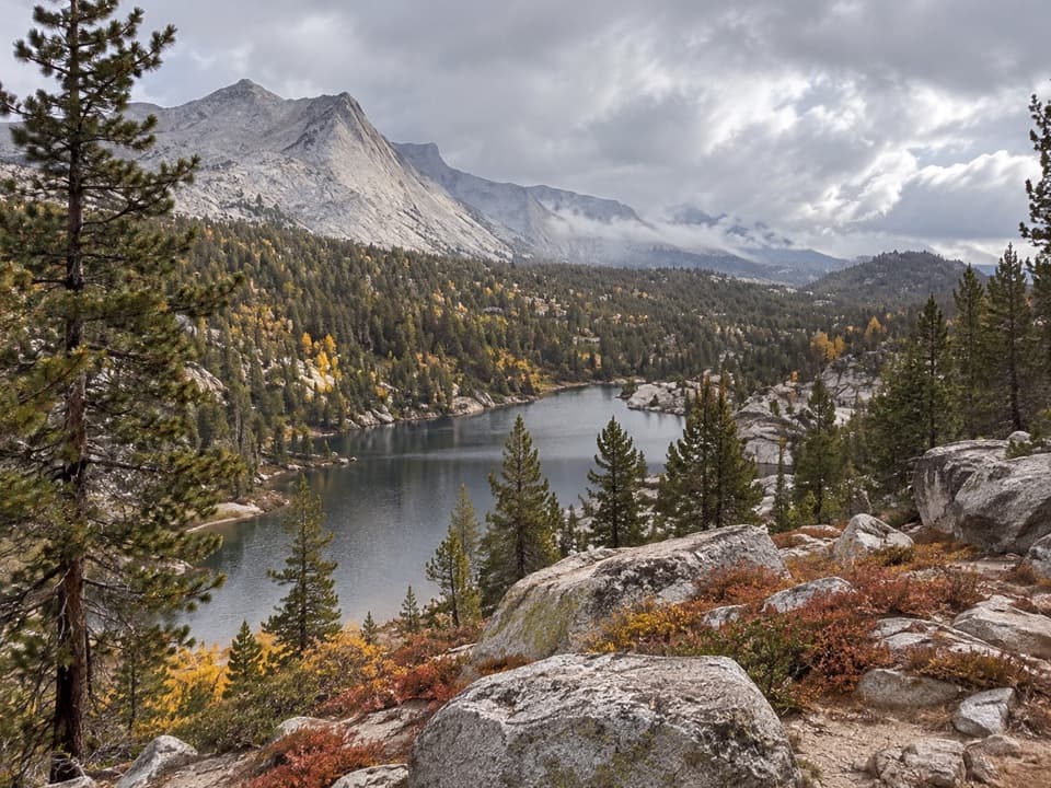
A little over five miles into the walk, the JMT/PCT reaches the Ireland Lake junction. Turn around here for the 11.4-mile version. The right branch goes toward Ireland Lake; the main trail continues through Lyell Canyon toward Donohue Pass, about seven miles farther on. That longer continuation is a different commitment and requires a wilderness permit for overnight travel.

A name from the history of geologyLyell Canyon is named for Charles Lyell, the nineteenth-century English geologist.

Lyell Canyon is named for Charles Lyell, the nineteenth-century English geologist. The JMT and PCT share this corridor, so the long meadow walk is also part of two major through-routes across the Sierra.

Wildlife

Wildlife in Yosemite

All Yosemite wildlife maps

Sighting maps show where each species has been reported across Yosemite. Wildlife moves, so no sighting is guaranteed.

Keep exploring

Near Lyell Canyon Trail

See it all on the map

Trails that start nearby

Places near the trailhead

Parkwolf’s Yosemite ranking

Top-rated trails in Yosemite

All 141 trails
  1. 1Half Dome TrailChallenging · 14.3 mi
  2. 2Clouds Rest TrailChallenging · 14 mi
  3. 3Nevada Fall Loop via Mist and John Muir TrailsChallenging · 6.4 mi
  4. 4Yosemite Falls TrailChallenging · 7.2 mi
  5. 5Panorama TrailChallenging · 8.2 mi
  6. 6Four Mile TrailChallenging · 4.8 mi

Take Parkwolf to Yosemite.

The audio tour guide for the drive, plus offline maps, trails, and wildlife heatmaps for when the signal drops.

4.7 from 8,600+ ratings

Download Parkwolf on the App StoreGet Parkwolf on Google Play