Parking
Start at Rafferty Creek Trailhead in Tuolumne Meadows, off Tioga Road. Parking is limited in Tuolumne Meadows; the trailhead lot capacity, fee and facilities were not established in the sources reviewed.
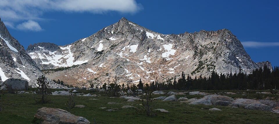
Yosemite National Park, CA
A long meadow climb to a granite camp beneath two high peaks.
Overview
Map & elevation
Plan your hike

“You're approaching the Tuolumne Meadows Lodge road, with access to Lyell Canyon. The seasonal lodge is a cluster of canvas tent cabins beside the river, with beds and wood stoves but no electricity or Wi-Fi.”
Yosemite Tour Guide
Parkwolf is a GPS audio tour guide for Yosemite National Park. As you drive, it chimes in with what’s ahead: hidden gems, upcoming stops, history, geology, and wildlife, right through your car’s speakers.
See the Yosemite audio tourRecorded for this trailhead
Tuolumne Meadows Lodge and Lyell Canyon“You're approaching the Tuolumne Meadows Lodge road, with access to Lyell Canyon. The seasonal lodge is a cluster of canvas tent cabins beside the river, with beds and wood stoves but no electricity or Wi-Fi.”
Plays as you drive up to this trailhead in the Parkwolf Yosemite Tour Guide.
More stories near here in the app
“We just drove through Yosemite and it made our trip listening to this app as we drove through. Like having a tour guide in the car with you.”


Trail guide
This is the Rafferty Creek approach to Vogelsang High Sierra Camp, a 14.4-mile out-and-back with about 1,600 feet of climbing. The trail follows one high-country corridor from Tuolumne Meadows to the camp and returns the same way; allow roughly 8–10 hours, including rests. It is a long day at altitude, with a rewarding change from forest to open meadow and a granite peak framed ahead. The camp, rather than a summit, is the turnaround for the route described here.
Begin at Rafferty Creek Trailhead, where a short connector joins the Pacific Crest and John Muir trails. A footbridge crosses the Dana Fork at about 0.8 mile, followed by two wooden bridges over the Lyell Fork near 1.3 miles. Around mile 2, leave the shared trail for Rafferty Creek. These crossings and the signed branch help confirm the route before the sustained climb. Parking is limited around Tuolumne Meadows; the precise capacity, fees and facilities at this trailhead were not established, so arrive with a plan for access and do not count on a particular amenity.
The path rises through open lodgepole pine forest beside the creek. The climb is moderately steep at first, eases around the 2.5-mile mark, then continues at a steady grade for several miles. Much of this section stays under trees, so the effort can feel longer than the scenery suggests. Occasional openings look east toward Kuna Crest, but the main reward is the gradual transition from the Tuolumne River plain into a high alpine basin. The mapped camp route follows the hiking trail; it does not include the rough, informal scramble toward Vogelsang Peak.
At roughly mile 5.3, the forest gives way to an extended meadow. For about 1.5 miles the trail follows raised tread across the wet ground, with Fletcher and Vogelsang Peaks growing larger ahead. Looking back, the view spreads across the Tuolumne River Basin toward the Sierra Crest north of Tioga Pass. This is the route’s defining photo stretch: frame the tread as it leads toward the granite peaks, or turn around for the broad basin behind you. Stay on the established path across the meadow.
Near mile 6.8, a junction leads toward Merced Lake; continue toward Vogelsang High Sierra Camp. The camp is about 7.2 miles from the trailhead by the official round-trip distance, though a route description’s mile markers place it closer to 7.5. Stone buildings and tent cabins mark the destination. Treat the camp as a landmark and turnaround, not a promise that food, lodging or day-use services will be open. Vogelsang Lake is about another half-mile uphill and is a separate extension; Fletcher Lake is also a nearby diversion. Neither is included in the 14.4-mile camp out-and-back. The longer High Sierra Loop and routes over the peak are different, more demanding outings.
Wildlife
 732 sightingsBlack BearMost seen around 7 PMSighting map
 1,747 sightingsMule DeerMost seen around 6 PMSighting map
 332 sightingsCoyoteMost seen around 7 PMSighting map
 11 sightingsPeregrine FalconMost seen around 8 AMSighting map
 276 sightingsPikaMost seen around 8 AMSighting map
 677 sightingsYellow-bellied MarmotMost seen around 8 AMSighting map
Sighting maps show where each species has been reported across Yosemite. Wildlife moves, so no sighting is guaranteed.
Keep exploring
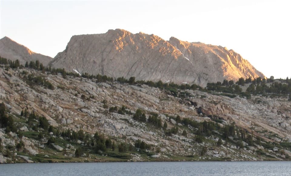 ChallengingIreland and Evelyn Lakes Loop22.2 mi · 12 hr · At the trailheadTwo alpine lakes reward a long loop through a river meadow.
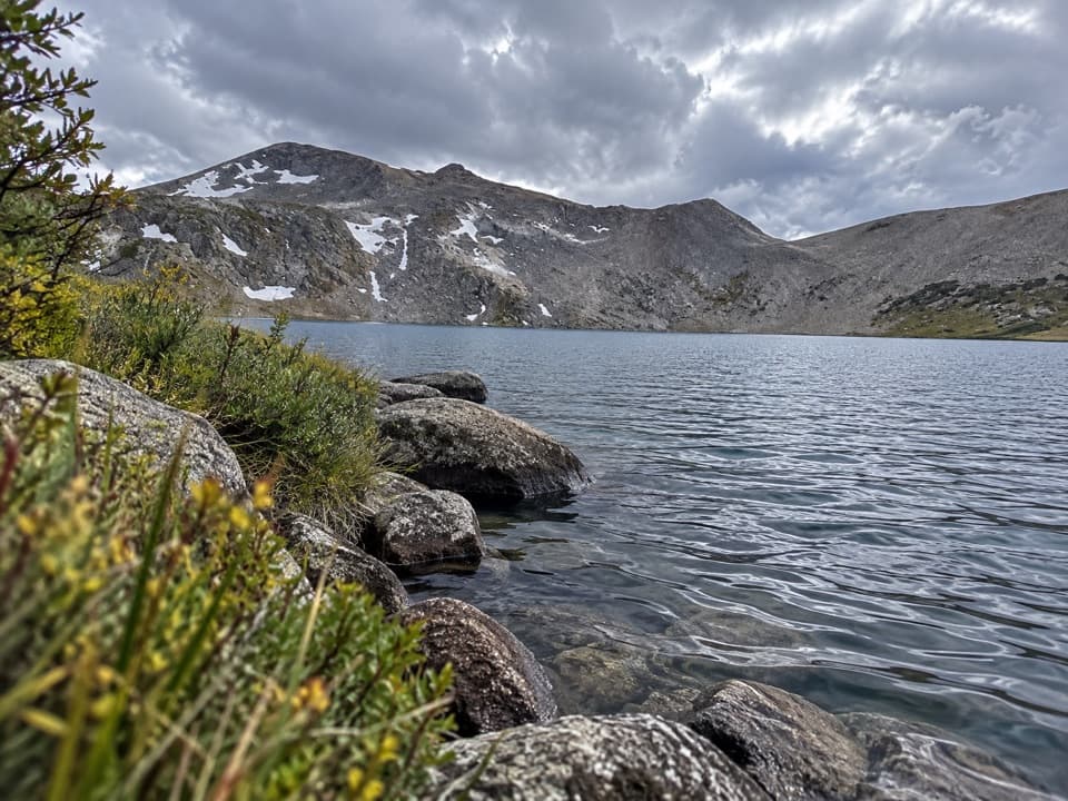 ChallengingIreland Lake Trail19.8 mi · 9 hr · At the trailheadA long walk from Lyell Canyon to a quiet alpine lake.ChallengingEvelyn Lake Trail17.2 mi · 10.5 hr · At the trailheadA full-day climb to a lake beneath Fletcher Peak.
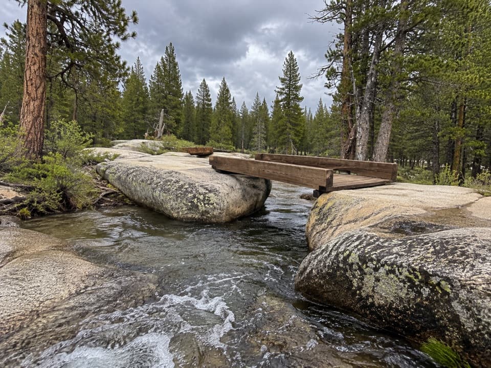 EasyTwin Bridges of Lyell Fork Trail1.6 mi · 1.5 hr · At the trailheadA gentle river walk to two timber bridges on Lyell Fork.
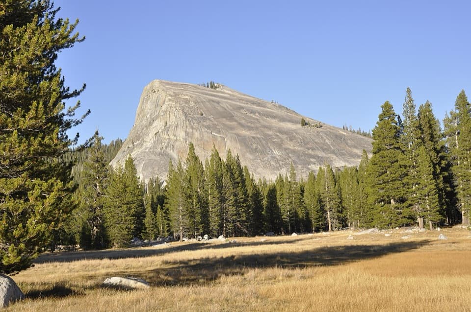 ModerateLembert Dome Trail2.1 mi · 2 hr · 0.1 mi awayShort forest climb, bare granite, and a Tuolumne Meadows panorama.
 ModerateLyell Canyon Trail11.4 mi · 6 hr · 0.2 mi awayA long walk among meadows, river crossings, and open high country.
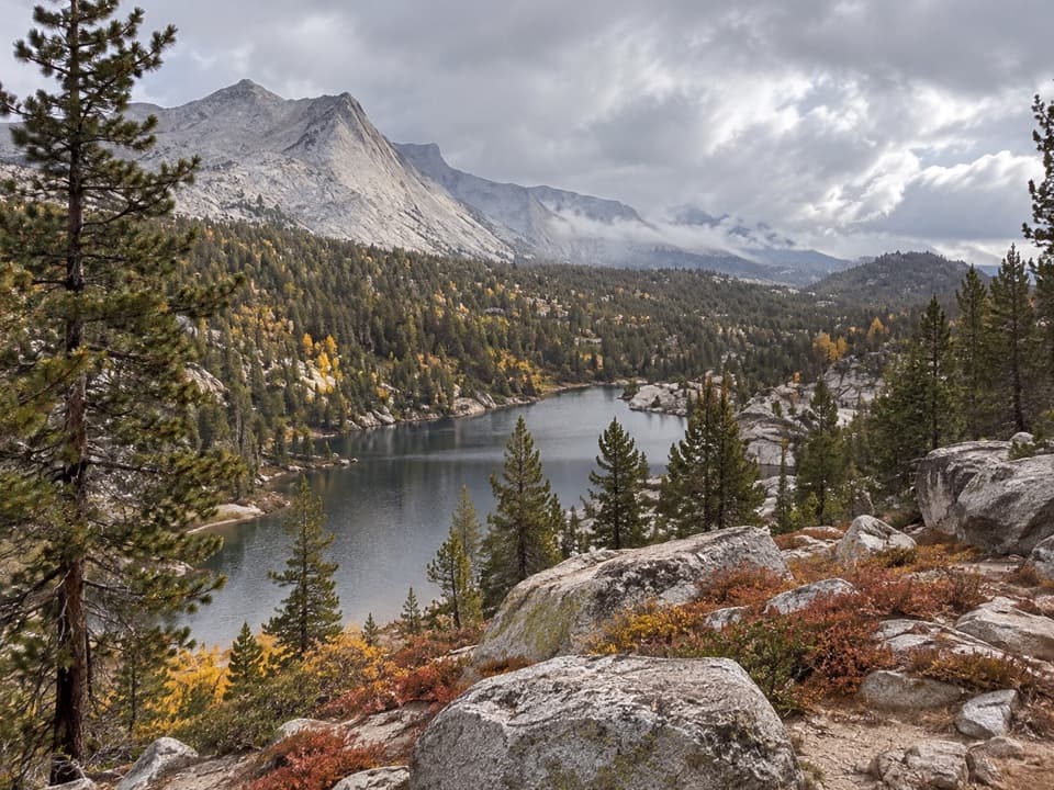 ChallengingBoothe Lake Trail15.5 mi · 10 hr · 0.8 mi awayA long high-country hike to a lake beneath the granite peaks.
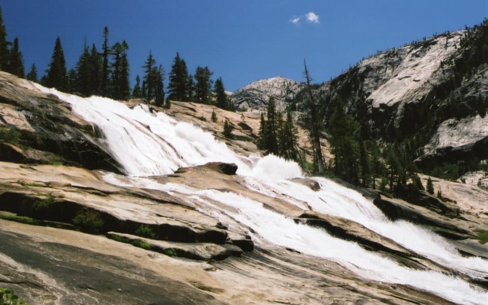 ChallengingWaterwheel Falls Trail19 mi · 11 hr · 0.8 mi awayLong Tuolumne River hike to Waterwheel Falls' signature spray.
 Lodging · 0.3 mi awayTuolumne Meadows LodgeCanvas cabins beside the river, with trails on your doorstep.
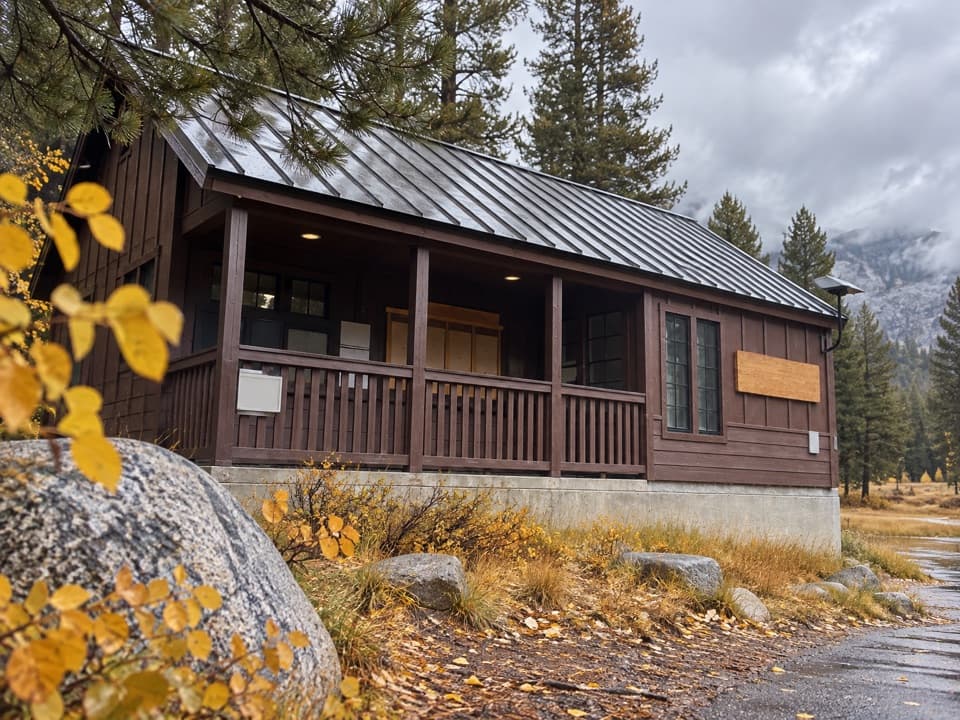 Ranger station · 0.4 mi awayTuolumne Meadows Wilderness CenterTalk over your route and get a backcountry permit.
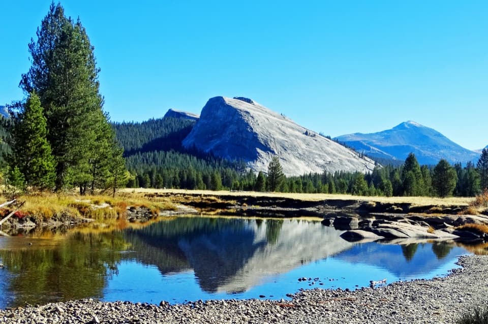 Sight · 0.6 mi awayLembert DomeA steep granite climb earns a wide-open Tuolumne panorama.
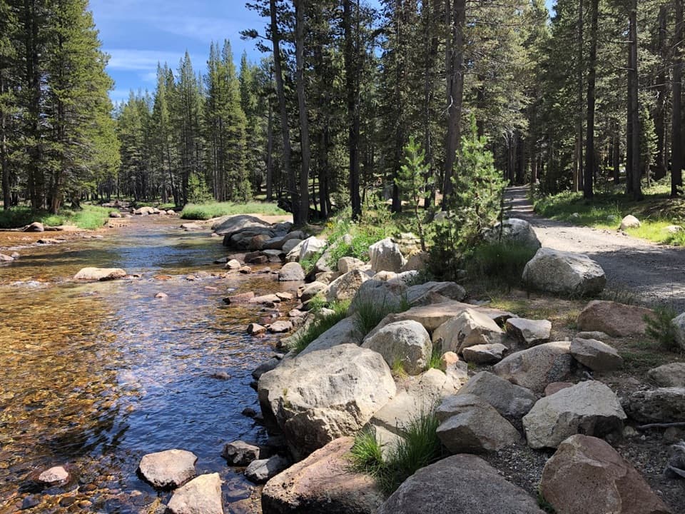 Campground · 0.9 mi awayTuolumne Meadows CampgroundA high-country base for Tuolumne's hikes, lakes, and river.
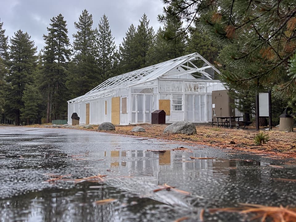 Food · 1 mi awayTuolumne Meadows Store and GrillLunch and trail basics before the high-country miles.
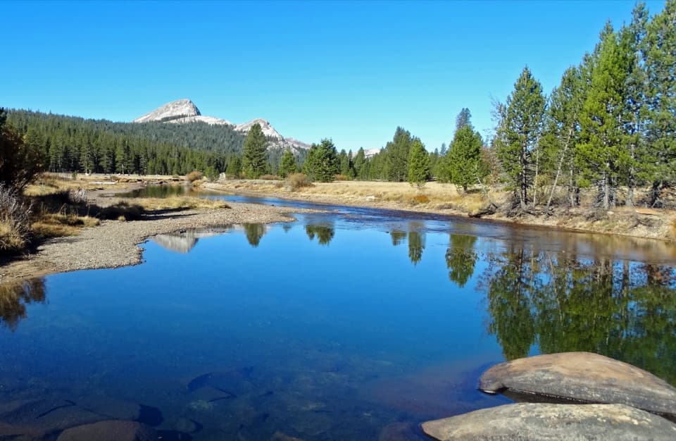 Sight · 1.3 mi awayTuolumne MeadowsA high-country meadow with river bends and granite domes.
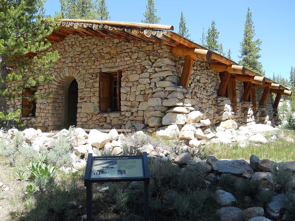 Sight · 1.6 mi awayParsons Memorial Lodge and Soda SpringsA short walk joins a 1915 lodge with bubbling meadow springs.
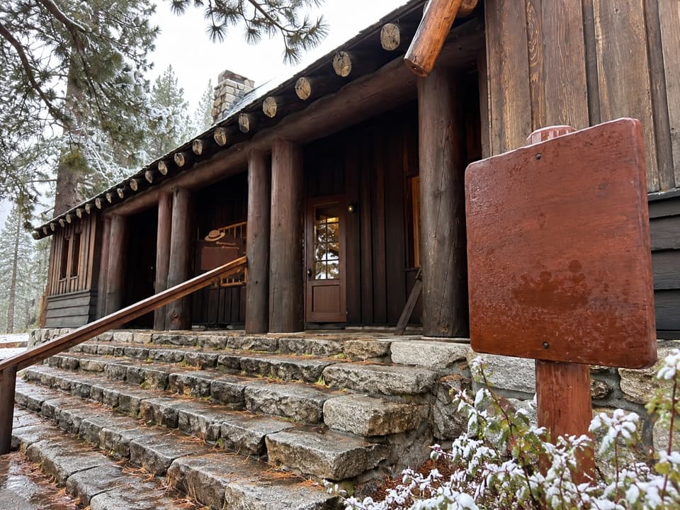 Visitor center · 2 mi awayTuolumne Meadows Visitor CenterA ranger desk, geology exhibits and a CCC story beside the meadow.
Parkwolf’s Yosemite ranking

The audio tour guide for the drive, plus offline maps, trails, and wildlife heatmaps for when the signal drops.





