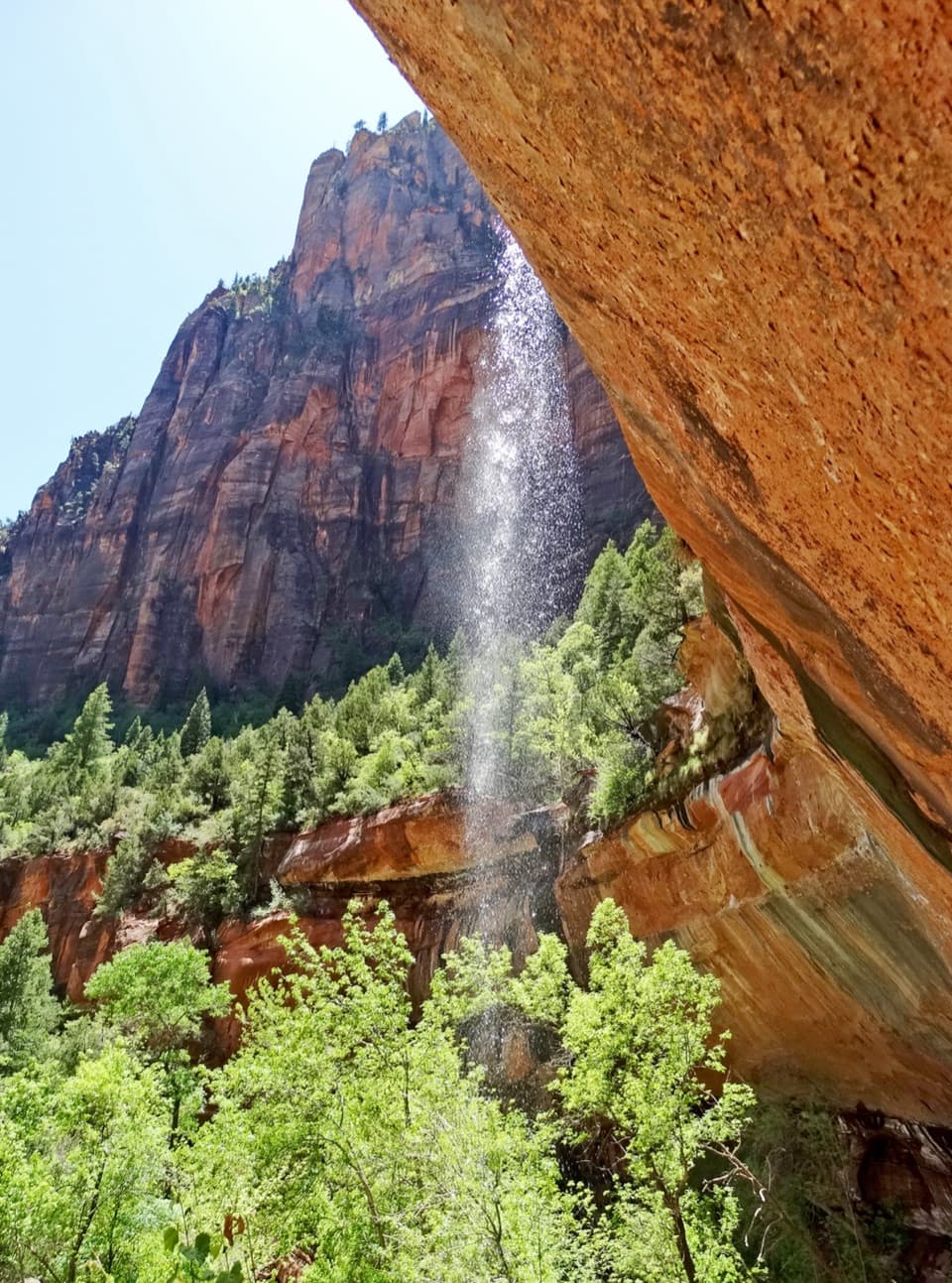
Canyon Overlook in Zion National Park

#3 of 25 sights in Zion

Sight · Zion National Park

Canyon Overlook

A short, exposed walk to the view over Pine Creek Canyon.

Photo: Wikimedia Commons
Type
Sight
Nearest trail
0.2 mi
Audio stories
8 nearby
  • Scenic viewpoint
  • Parking
  • Restrooms

Hear the audio tour

Canyon Overlook

Overview

About Canyon Overlook

Why stop

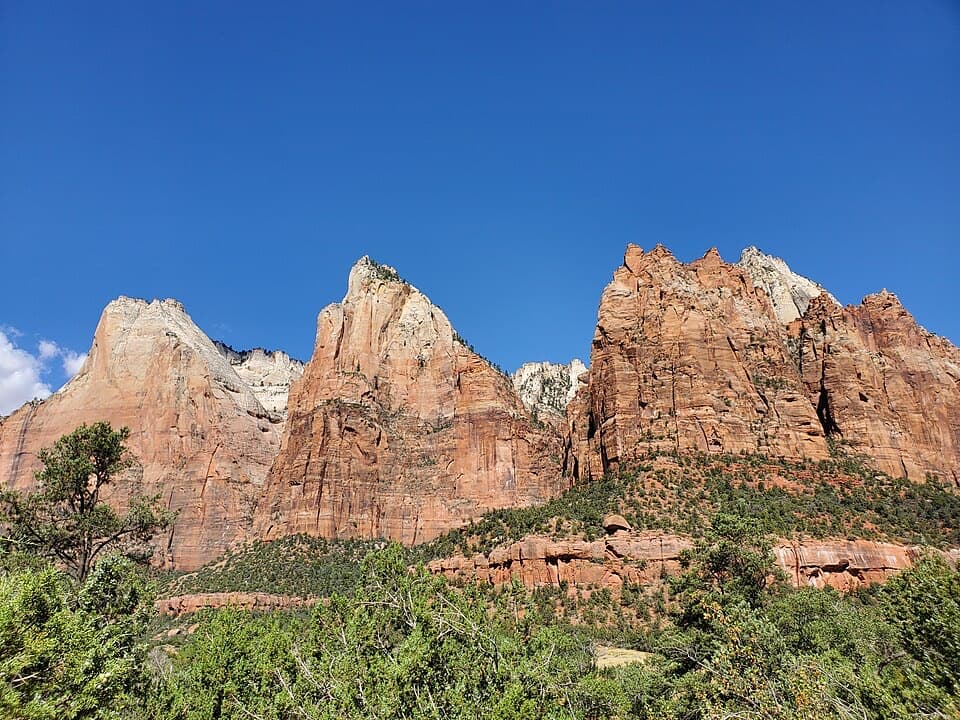
  • A panoramic view of the Towers of the Virgin with Route 9 far below.

Heads up

  • The tiny lot and exposed, uneven trail can make this a longer, tougher stop than its mileage suggests.
Canyon Overlook is a cliff-edge viewpoint at the east end of Zion–Mount Carmel Highway, reached by a half-mile walk each way. I'd keep it high on your list if you want a big canyon view without a long hike, but it isn't a casual stroll: sandstone steps, uneven rock, narrow ledges and long drops make it a poor choice if heights or unstable footing bother you.
Parkwolf’s verdictIs it worth the stop?

Map

Where it is

Loading the Zion map
Full map
SightCanyon Overlook37.21334, -112.94597
Keep this map with you offline in the Parkwolf app

Plan your stop

Before you go

Make the parking work

The trail starts just east of the Zion–Mount Carmel Tunnel, and the Zion Canyon shuttle doesn't reach it, so plan to drive. Parking is extremely limited; the National Park Service says to be prepared to try more than once. Sunrise is popular and an early visit may give you a better shot at a space, but it can't guarantee one. The trailhead lot has pit toilets. Pets aren't allowed.

3 active Zion alerts

  • CautionLarge-vehicle limits on Zion–Mount Carmel HighwayMentions Mount Carmel Highway, referenced in this guideVehicles exceeding Zion–Mount Carmel Highway size or weight limits cannot travel between Canyon Junction and the East Entrance; measure your vehicle and plan an alternate route if it exceeds any…Official details
  • CautionToxic cyanobacteria in Zion waterwaysDo not drink Zion in-stream water, submerge your head, or touch or ingest algae mats; cyanobacteria can produce harmful toxins.Official details
See all 3 alerts
A park ranger sits on a dash-mounted phone, talking, as Parkwolf’s Tour Guide plays “Army Cutworm Moths: A Grizzly Bear Buffet” on Grand Loop Road below Dunraven Pass in Yellowstone
Parkwolf Tour GuideThe highest, rockiest slopes around here are a summer buffet for grizzly bears.

Zion Tour Guide

Your drive to Canyon Overlook, narrated.

Parkwolf is a GPS audio tour guide for Zion National Park. As you drive, it chimes in with what’s ahead: hidden gems, upcoming stops, history, geology, and wildlife, right through your car’s speakers.

See the Zion audio tour

Recorded for this place

Canyon Overlook
0:00 / 0:28
“Canyon Overlook trailhead is coming up, just east of the Zion-Mount Carmel Tunnel.”

Plays as you drive up to Canyon Overlook in the Parkwolf Zion Tour Guide.

More stories near here in the app

  • Zion–Mount Carmel Tunnel and Great Arch
  • How the Canyon Gets Wider
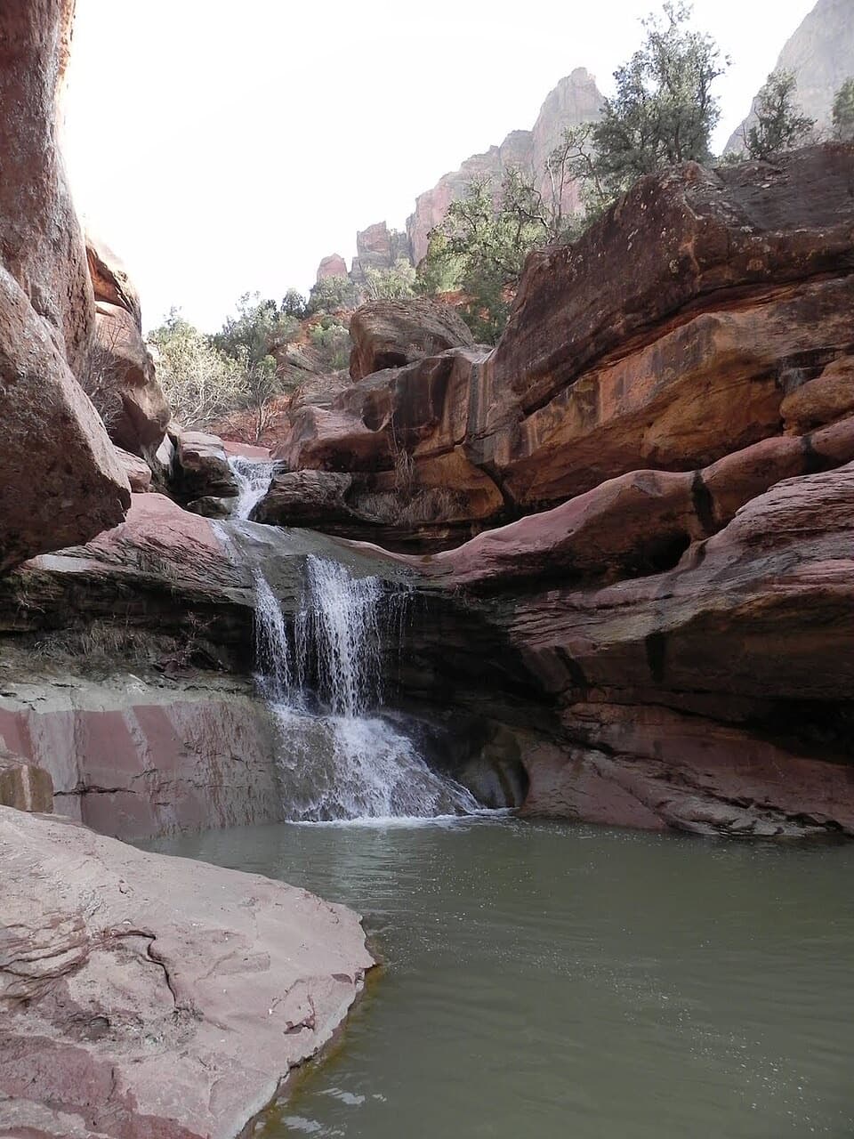
  • Lower Pine Creek Falls
  • Clear Creek Wash
  • 45 audio storiesacross Zion’s roads, triggered by GPS as you drive
  • Wildlife heatmapsfor California Condor, Bighorn Sheep, Mountain Lion, and 13 more
  • Works offlinemaps, 54 trails, 36 places, and audio download before you lose signal
  • CarPlay readysimple controls built for the drive
★★★★★
“Fantastic app with many points of information… It’s great to just turn on while you’re driving and it gives you an audio tour of the national Park. We love it!!!!”
JMJamesApp Store review
Download Parkwolf on the App StoreGet Parkwolf on Google Play

4.7 from 8,600+ ratings

Guide

More about Canyon Overlook

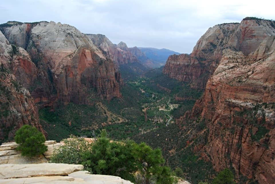
Take the canyon inAt the fenced endpoint, the view opens across Pine Creek Canyon and lower Zion Canyon to the…

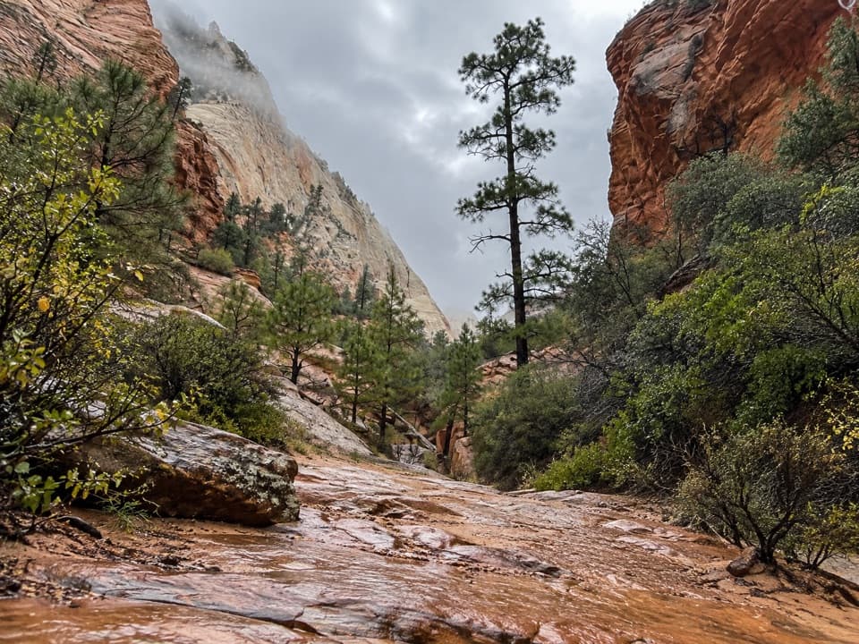
At the fenced endpoint, the view opens across Pine Creek Canyon and lower Zion Canyon to the Towers of the Virgin. Red and cream slickrock, sheer walls and Route 9's switchbacks below make the scale easy to read. Include some of those bends in a photo; they show how the road threads through the canyon. Stay on the established path and behind the fence.

The walk is part of the stopThe half-mile route starts with sandstone stairs and a handrail, then crosses rocky, uneven…

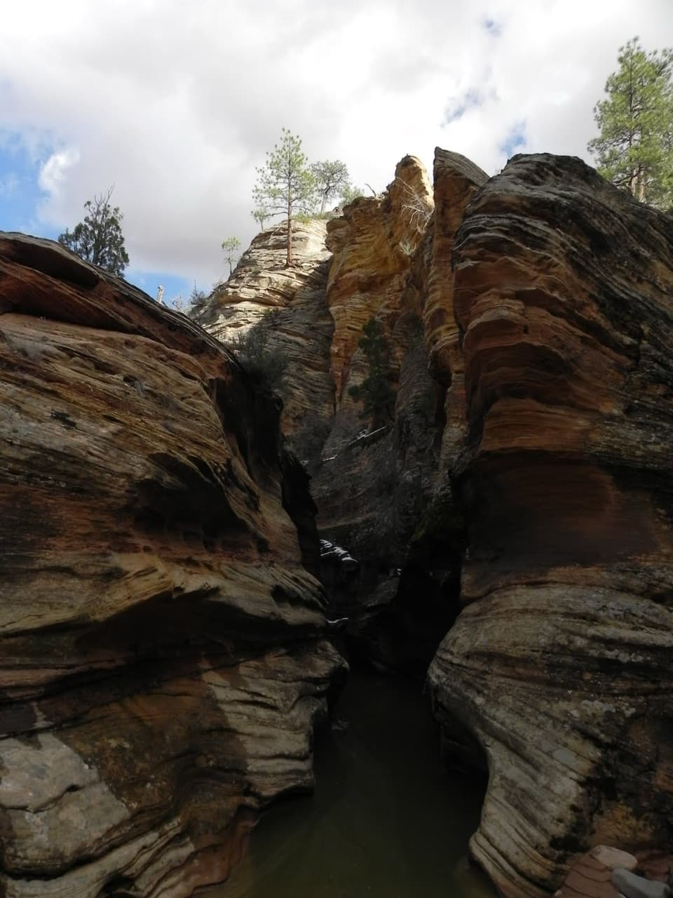
The half-mile route starts with sandstone stairs and a handrail, then crosses rocky, uneven ground above a dark slot canyon. A narrow wooden bridge and exposed ledges make it more demanding than the distance suggests. Near the end, the path opens onto red and cream slickrock at the viewpoint. Much of the cliff edge is fenced, but not every exposed section is; take your time if the drops catch your attention.

A name that sends you lookingThe trail was once called Great Arch Trail, but the Great Arch sits above the route and isn't…

The trail was once called Great Arch Trail, but the Great Arch sits above the route and isn't visible from it. The walk is about the canyon view and rock scenery, so don't choose it expecting a close look at the arch.

Built with the highwayThe Zion–Mount Carmel Highway opened in 1930 as a link between Zion, Bryce Canyon and the Grand…

The Zion–Mount Carmel Highway opened in 1930 as a link between Zion, Bryce Canyon and the Grand Canyon. Its 1.1-mile tunnel was cut through the sandstone above Pine Creek Canyon. Windows blasted into the galleries gave travelers views and helped with ventilation and debris removal. The highway and tunnel are listed on the National Register of Historic Places.

Read the sandstoneThe cliffs display layers of sandstone that began as sediment in an ancient basin.

The cliffs display layers of sandstone that began as sediment in an ancient basin. Later uplift gave streams the force to carve deep canyons through the rock. From the overlook, you can see the layered cliffs and the canyon cut through them in one sweep.

Look along the cliffsThe National Park Service suggests watching the nearby cliffs for desert bighorn sheep.

The National Park Service suggests watching the nearby cliffs for desert bighorn sheep. They were reintroduced to Zion and may be easier to spot if you pause and scan the ledges instead of looking only toward the main view.

Wildlife

Wildlife in Zion

All Zion wildlife maps

Sighting maps show where each species has been reported across Zion. Wildlife moves, so no sighting is guaranteed.

Keep exploring

Near Canyon Overlook

See it all on the map

Trails nearby

More stops nearby

Parkwolf’s Zion ranking

Top sights in Zion

All 36 places
  1. 1Angels LandingSight
  2. 2Temple of SinawavaSight
  3. 4Checkerboard MesaSight
  4. 5Court of the PatriarchsSight
  5. 6Emerald PoolsSight
  6. 7Observation PointSight

Take Parkwolf to Zion.

The audio tour guide for the drive, plus offline maps, trails, and wildlife heatmaps for when the signal drops.

4.7 from 8,600+ ratings

Download Parkwolf on the App StoreGet Parkwolf on Google Play