Parking
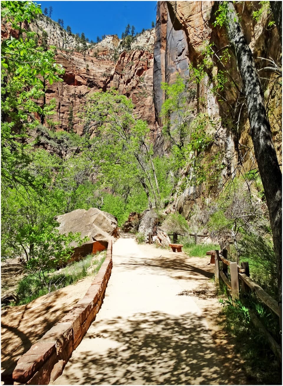
In shuttle season, ride to The Grotto, Stop 6, then cross the road and bridge. When shuttles are not running, limited parking at The Grotto can fill early; use only authorized parking if it is full.

#1 of 54 trails in Zion
Zion National Park, UT
A steep canyon climb ends on a narrow, chain-lined sandstone ridge.
Overview
Map & elevation
Plan your hike

The highest, rockiest slopes around here are a summer buffet for grizzly bears.
Zion Tour Guide
Parkwolf is a GPS audio tour guide for Zion National Park. As you drive, it chimes in with what’s ahead: hidden gems, upcoming stops, history, geology, and wildlife, right through your car’s speakers.
See the Zion audio tourRecorded for this trailhead
The Grotto and Angels Landing“You're coming up on The Grotto, the starting point for Angels Landing and a cottonwood-shaded picnic stop beside the Virgin River. You can enjoy the river here without tackling the summit.”
Plays as you drive up to this trailhead in the Parkwolf Zion Tour Guide.
More stories near here in the app
“Fantastic app with many points of information… It’s great to just turn on while you’re driving and it gives you an audio tour of the national Park. We love it!!!!”


Trail guide
This out-and-back climbs from The Grotto to the Angels Landing summit via the West Rim Trail, Refrigerator Canyon, Walter’s Wiggles, Scout Lookout and the final chain ridge. The mapped corridor is about 2.1 miles each way, or 4.2 miles round trip; published visitor figures differ, with some listing 5.4 miles. Allow around four hours or longer for this strenuous climb. A permit is required beyond Scout Lookout. Without one, Scout is a worthwhile turnaround with canyon views.
From shuttle stop 6, cross the road and bridge over the Virgin River to reach the West Rim Trail. The route begins with a sustained climb on steep switchbacks along the canyon wall. Fill bottles and use the restroom at The Grotto: it is the only drinkable-water point on the hike. Shuttle schedules change seasonally; when buses are not running, the small Grotto parking area can fill early.
The grade briefly eases in the cooler shade of Refrigerator Canyon before climbing again on Walter’s Wiggles, a tight series of 21 switchbacks cut into the rock. The turns lead to Scout Lookout, a relatively level, sandy area with some shade and a restroom but no water. Take a pause here and decide whether the exposed ridge suits you.
The approach to Scout Lookout is strenuous but does not require the Angels Landing permit. The viewpoint has broad canyon scenery, and turning back here avoids the narrowest and most exposed terrain. It is a sensible destination for anyone without a permit or who does not want to continue on chains.
Beyond Scout, the last half mile follows a narrow sandstone fin with a metal chain for handholds. The path has steep drops and bottlenecks where hikers moving in opposite directions must communicate and take turns. There is no protected alternate line on this stretch. Do not continue onto the ridge in rain, thunderstorms, or icy conditions, or if exposure feels beyond your comfort. Dogs are prohibited on the route.
The summit sits on a resistant fin of Jurassic Navajo Sandstone high above Zion Canyon. The route’s dramatic signature view looks north across cliffs and the green canyon floor; Scout Lookout offers a lower-exposure place to compose a view of the fin. California condors sometimes soar near the cliffs. Stay on the trail and avoid throwing or dropping objects, since climbers may be below and the area is used by nesting birds.
The name is attributed to Methodist minister Frederick Vining Fisher, who allegedly remarked on a 1916 visit that only an angel could land on the fin. The West Rim and Angels Landing trail is also recorded as a historic park structure, with important construction years in the 1920s.
Wildlife
 291 sightingsCalifornia CondorMost seen around 11 AMSighting map
 350 sightingsBighorn SheepMost seen around 7 AMSighting map
 22 sightingsMountain LionMost seen around 7 PMSighting map
 1,326 sightingsMule DeerMost seen around 6 AMSighting map
 23 sightingsGolden EagleMost seen around 10 AMSighting map
 15 sightingsPeregrine FalconMost seen around 7 AMSighting map
Sighting maps show where each species has been reported across Zion. Wildlife moves, so no sighting is guaranteed.
Keep exploring
 ChallengingWest Rim to Scout Lookout3.8 mi · 3.5 hr · At the trailheadA steep climb to a canyon lookout, before the permit boundary.
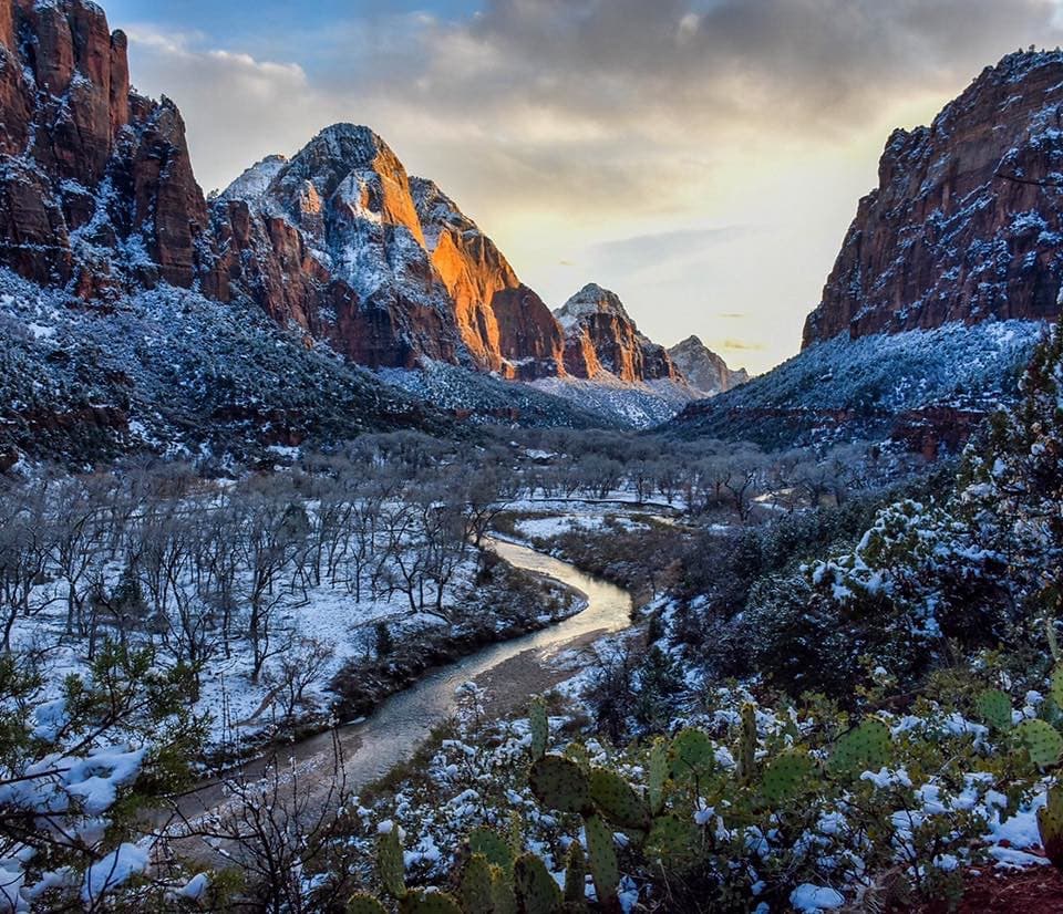 ModerateKayenta Trail1.4 mi · 2 hr · At the trailheadFollow a canyon ledge from The Grotto toward the Emerald Pools.
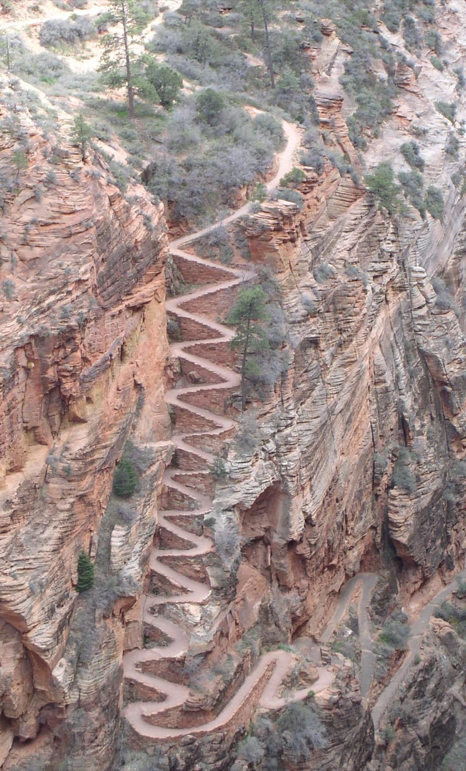 ChallengingWest Rim Trail to Cabin Spring9.4 mi · 6 hr · 0.1 mi awayA full-day climb beyond Scout Lookout to Cabin Spring.
 ChallengingWest Rim and Telephone Canyon Loop15.3 mi · 9 hr · 0.1 mi awayA long climb opens into a quieter plateau circuit above the canyons.
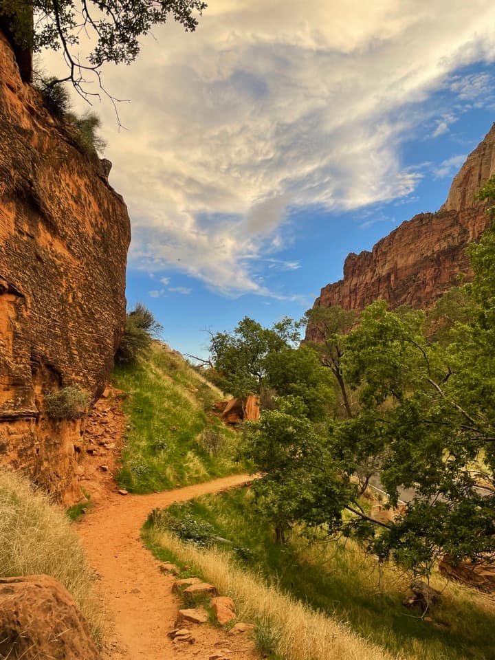 EasyGrotto Trail1.2 mi · 36 min · 0.5 mi awayA shaded meadow walk linking the lodge and Grotto shuttle stops.
 EasyLower Emerald Pool Trail1.2 mi · 1.5 hr · 0.7 mi awayA short walk to a waterfall alcove that changes with the season.
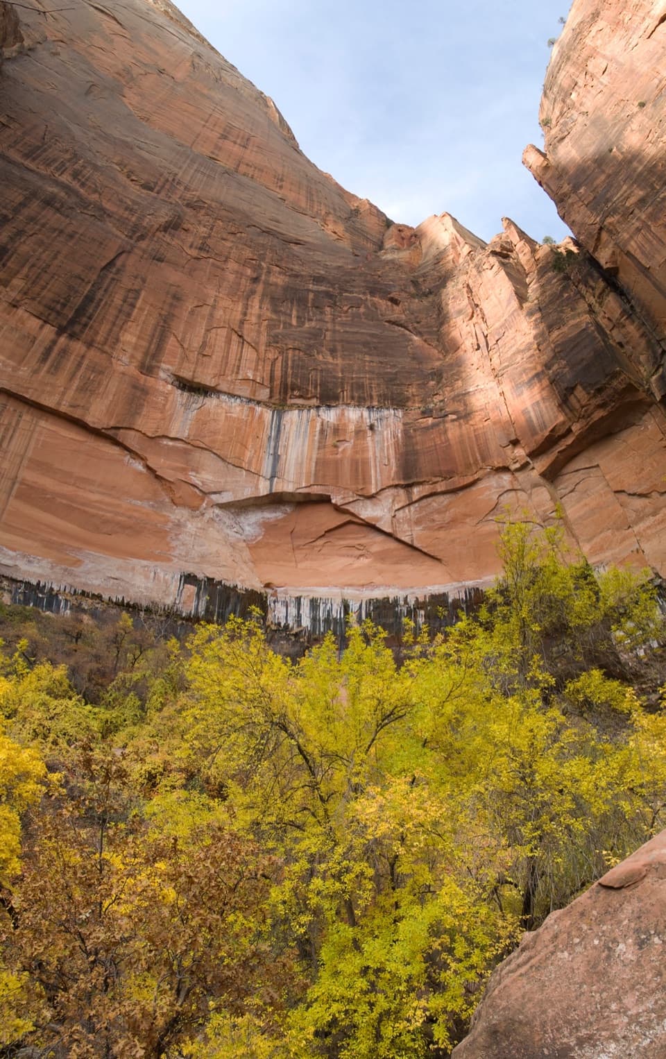 ModerateUpper Emerald Pools Trail2.3 mi · 2 hr · 0.7 mi awayStone steps lead to a sandy pool beneath Zion’s high canyon walls.
 ModerateMiddle Emerald Pools Trail2.2 mi · 1.5 hr · 0.7 mi awayA steep climb opens onto sandstone ledges and green pools.
 Picnic area · 0.1 mi awayThe GrottoA shaded picnic break with a Virgin River view and trail access.
 Food · 0.6 mi awayCastle Dome CaféA handy café for quick meals and picnic supplies.
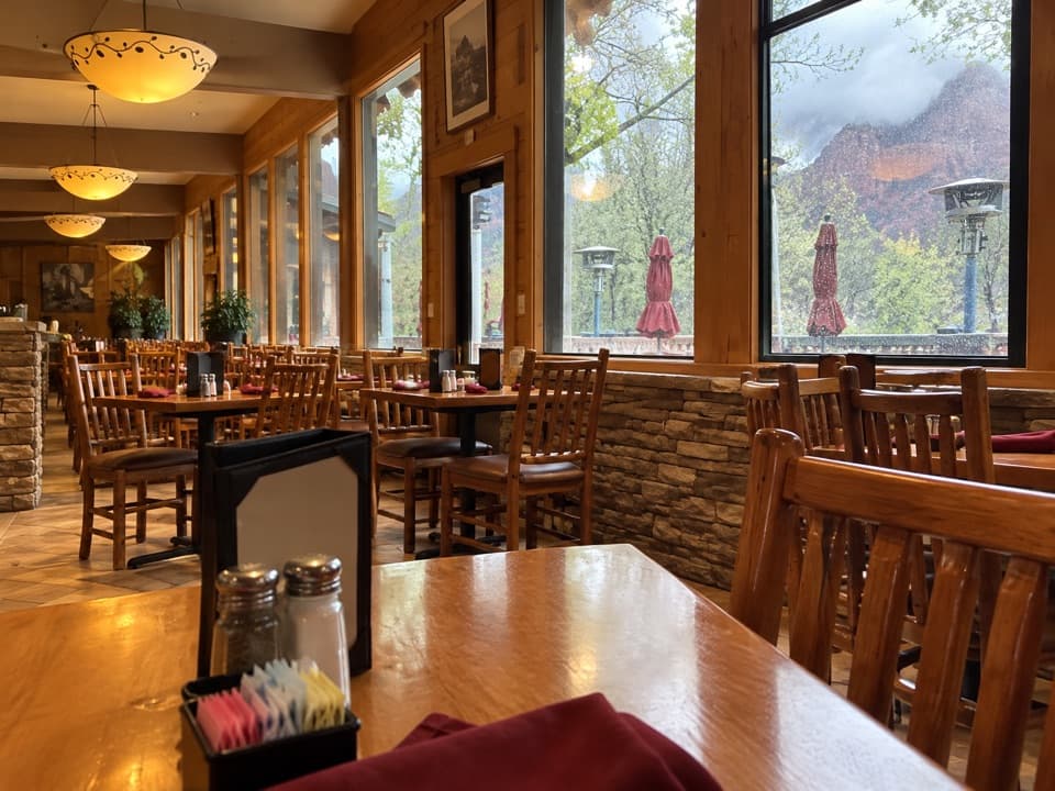 Restaurant · 0.6 mi awayRed Rock GrillA year-round sit-down meal on the canyon shuttle route.
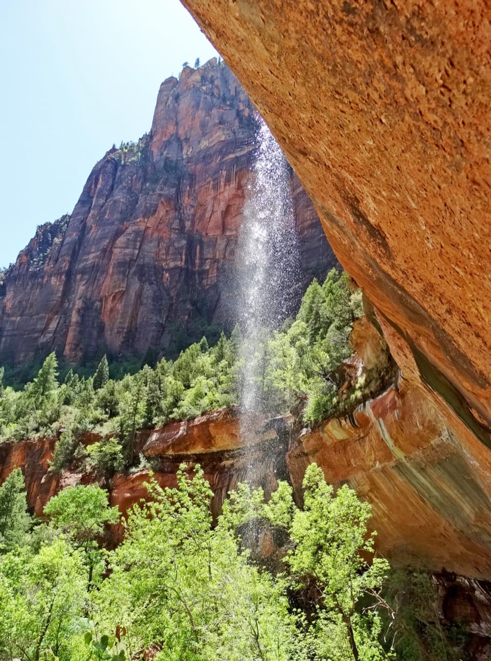 Sight · 0.7 mi awayEmerald PoolsThree cliffside pools, with seasonal falls and a steeper upper climb.
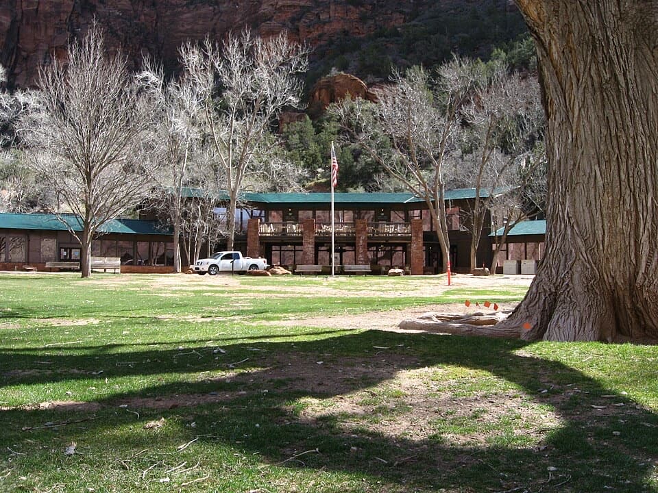 Lodging · 0.7 mi awayZion LodgeThe only in-park lodge, with canyon trails close by.
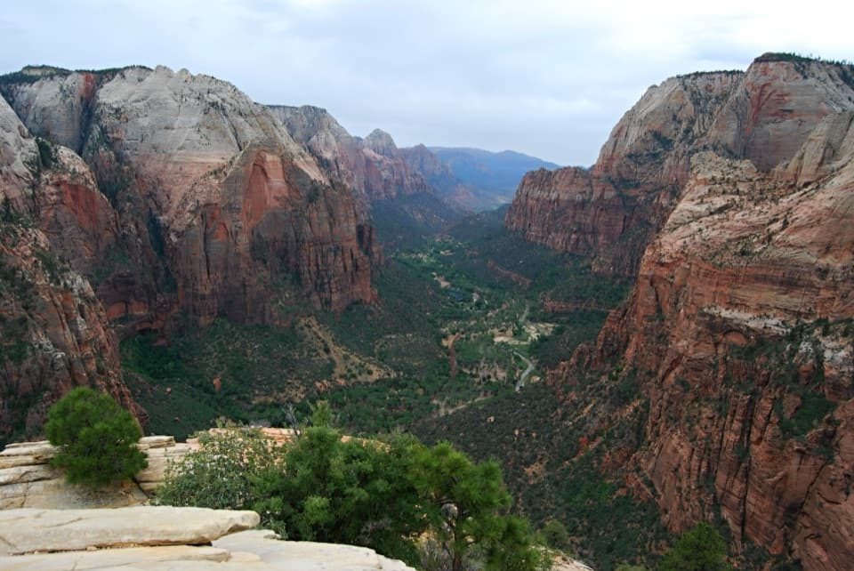 Sight · 0.7 mi awayAngels LandingA half-day summit hike, ending on a narrow ridge with chains.
 Sight · 1 mi awayBig BendBig Bend frames the Great White Throne above the Virgin River.Sight · 1.1 mi awayScout LookoutA natural turnaround for Zion Canyon views before Angels Landing.
Parkwolf’s Zion ranking

The audio tour guide for the drive, plus offline maps, trails, and wildlife heatmaps for when the signal drops.