The Narrows from the Bottom Up in Zion National Park

#2 of 54 trails in Zion

Zion National Park, UT

The Narrows from the Bottom Up

Wade the Virgin River through a slot canyon to Big Spring.

Photo: Unsplash License
Length
9.4mi
Time
7hr
Elev. change
312ft
Difficulty
Challenging
  • No dogs
  • High point 4,751 ft

Hear the audio tour

Temple of Sinawava and Riverside Walk

Overview

About The Narrows from the Bottom Up

Why go

  • The canyon surrounds you for miles, with no single overlook as the whole point.
  • You can turn back before Big Spring and still experience the river corridor.

Heads up

  • Most of the route is cold, moving water over slippery boulders.
  • The full Big Spring return is a long, slow day despite modest elevation gain.

Map & elevation

The route

Loading the Zion map
Full map
Elevation4,439–4,751 ft
TrailheadTemple of Sinawava / Riverside Walk Trailhead37.28533, -112.94780
Keep this map with you offline in the Parkwolf app

Plan your hike

Before you go

Parking

During shuttle season, take the free Zion Canyon shuttle to its last stop, Temple of Sinawava (Stop 9), then follow Riverside Walk to the river-entry steps. Zion Canyon Scenic Drive is shuttle-only for most of the year; in the off-season, check whether it is open to private vehicles before planning to drive up.


Safety

The riverbed is unstable and slippery, current and depth vary, and some sections may require swimming. The Narrows closes when flow exceeds 150 cubic feet per second or during a National Weather Service Flash Flood Warning; flash floods can occur when the trailhead is dry. Do not drink the river water or submerge your head because of toxic cyanobacteria.

3 active Zion alerts

  • CautionToxic cyanobacteria in Zion waterwaysDo not drink Zion in-stream water, submerge your head, or touch or ingest algae mats; cyanobacteria can produce harmful toxins.Official details
  • ClosureWatchman Trail closed for repairsWatchman Trail is closed pending repairs; do not enter the trail and choose another hike. Check current park conditions before setting out.Official details
See all 3 alerts
A park ranger sits on a dash-mounted phone, talking, as Parkwolf’s Tour Guide plays “Army Cutworm Moths: A Grizzly Bear Buffet” on Grand Loop Road below Dunraven Pass in Yellowstone
Parkwolf Tour GuideThe highest, rockiest slopes around here are a summer buffet for grizzly bears.

Zion Tour Guide

Your drive to The Narrows from the Bottom Up, narrated.

Parkwolf is a GPS audio tour guide for Zion National Park. As you drive, it chimes in with what’s ahead: hidden gems, upcoming stops, history, geology, and wildlife, right through your car’s speakers.

See the Zion audio tour

Recorded for this trailhead

Temple of Sinawava and Riverside Walk
0:00 / 0:30
“Up ahead is Temple of Sinawava, the sandstone amphitheater at the end of the canyon road. Riverside Walk is my pick for seeing the walls close around the river while staying dry.”

Plays as you drive up to this trailhead in the Parkwolf Zion Tour Guide.

More stories near here in the app

  • Big Bend
  • Weeping Rock
  • The Grotto and Angels Landing
  • Zion Lodge and Emerald Pools
  • 45 audio storiesacross Zion’s roads, triggered by GPS as you drive
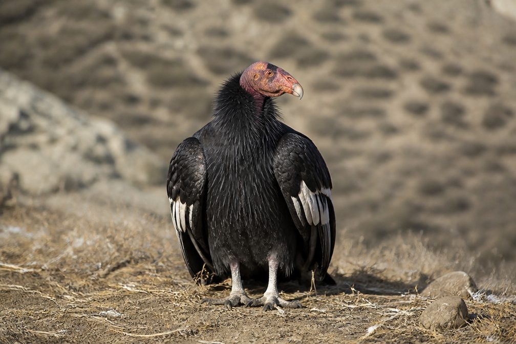
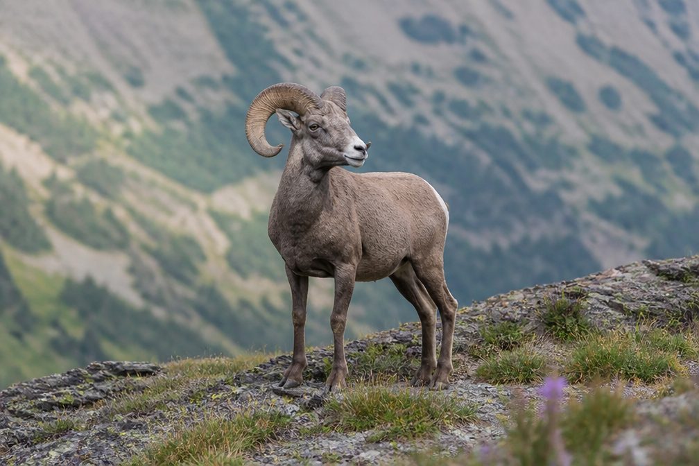
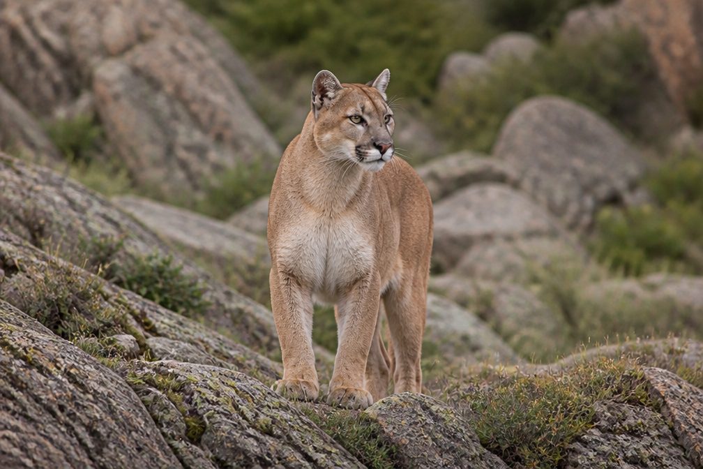
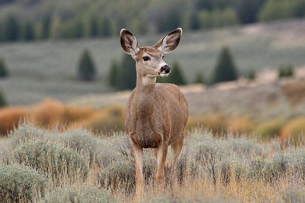
  • Wildlife heatmapsfor California Condor, Bighorn Sheep, Mountain Lion, and 13 more
  • Works offlinemaps, 54 trails, 36 places, and audio download before you lose signal
  • CarPlay readysimple controls built for the drive
★★★★★
“Fantastic app with many points of information… It’s great to just turn on while you’re driving and it gives you an audio tour of the national Park. We love it!!!!”
JMJamesApp Store review
Download Parkwolf on the App StoreGet Parkwolf on Google Play

4.7 from 8,600+ ratings

Trail guide

Hiking The Narrows from the Bottom Up

The full bottom-up routeThe Narrows from the Bottom Up is a strenuous 9.

The Narrows from the Bottom Up is a strenuous 9.4-mile out-and-back from Temple of Sinawava to Big Spring and back. The first mile follows the mostly flat, paved Riverside Walk; at its end, stairs drop into the Virgin River, where the riverbed becomes the trail. The draw is the slot canyon itself: tall sandstone walls close in around the water as you walk upstream, and the experience keeps changing instead of building to one overlook. Choose this if you want hours of wading through a canyon, not a dry walk with a quick viewpoint.

Set a turnaroundBig Spring is the maximum bottom-up day-hike limit. It is 4.7 miles each way and 9.

Big Spring is the maximum bottom-up day-hike limit. It is 4.7 miles each way and 9.4 miles round trip; the saved route maps the outbound line once because you retrace it. The park lists 334 feet of elevation gain and a broad one-to-eight-hour estimate that includes shorter turnarounds; plan on roughly seven hours if you go all the way. Orderville Canyon joins about two miles upstream and is a common turnaround. You can explore only the first quarter-mile of that tributary; that side trip adds distance. For a shorter outing, walk Riverside Walk to the river-entry steps and return on the pavement.

Access and facilitiesDuring shuttle season, take the free Zion Canyon shuttle to the last stop, Temple of Sinawava…

During shuttle season, take the free Zion Canyon shuttle to the last stop, Temple of Sinawava (Stop 9), then follow Riverside Walk to the water-entry steps. Zion Canyon Scenic Drive is shuttle-only for most of the year; in the off-season, check whether it is open to private vehicles before planning to drive up. The trailhead area has restrooms and a water-filling station, but there are no bathrooms along the hike. Bring food for the full day. The bottom-up day hike to Big Spring does not require a wilderness permit; the separate, roughly 16-mile top-down trip does. Pets are not allowed.

Expect slow river footingOnce you leave pavement, movement is slow: the bed is made of slippery, unstable boulders,…

Once you leave pavement, movement is slow: the bed is made of slippery, unstable boulders, while current and depth change from day to day. NPS says at least 60% of the hike is spent wading, with some stretches deep enough to require swimming. The 334-foot climb sounds modest, but the river and footwork make this much harder than the elevation number suggests. A walking stick and closed-toe footwear help with balance; colder seasons may make river gear useful. The river itself is the route, so do not expect a continuous dry path.

Why the canyon narrowsUpstream from Temple of Sinawava, the Virgin River cuts through Navajo Sandstone, forming the…

Upstream from Temple of Sinawava, the Virgin River cuts through Navajo Sandstone, forming the slot. At Temple, the river reaches softer Kayenta Formation, which erodes faster and helps widen the canyon at its mouth. That geology explains why the walk shifts from open Zion Canyon to a tight river corridor. Orderville's junction and the changing walls, seeps, springs, and rock shapes give you new things to notice along the way; there is no single best viewpoint. From inside the river, the water below the walls is the simplest way to show their scale in a photo.

Check the water before setting outWater level, temperature, and speed vary.

Water level, temperature, and speed vary. Check the current flow and park alerts before entering: the Narrows closes when the Virgin River is above 150 cubic feet per second or during a National Weather Service Flash Flood Warning. Flash floods can happen even if the trailhead is dry. Do not drink the river water or submerge your head because of toxic cyanobacteria.

Wildlife

Wildlife in Zion

All Zion wildlife maps

Sighting maps show where each species has been reported across Zion. Wildlife moves, so no sighting is guaranteed.

Keep exploring

Near The Narrows from the Bottom Up

See it all on the map

Trails that start nearby

Places near the trailhead

Parkwolf’s Zion ranking

Top-rated trails in Zion

All 54 trails
  1. 1Angels Landing TrailChallenging · 4.2 mi
  2. 3Canyon Overlook TrailModerate · 1 mi
  3. 4East Mesa Trail to Observation PointModerate · 6.8 mi
  4. 5Left Fork (Subway) Bottom-UpChallenging · 9 mi
  5. 6West Rim Trail (Top-Down)Challenging · 14.6 mi
  6. 7Riverside WalkEasy · 2 mi

Take Parkwolf to Zion.

The audio tour guide for the drive, plus offline maps, trails, and wildlife heatmaps for when the signal drops.

4.7 from 8,600+ ratings

Download Parkwolf on the App StoreGet Parkwolf on Google Play