Parking
Weeping Rock Trailhead is beside Zion Canyon Shuttle Stop 7. Use the canyon shuttle when it is operating; the trailhead also has a parking area and pit toilets. Parking capacity and fee details were not found.

Zion National Park, UT
A steep paved climb ends in a dripping sandstone alcove.
Overview
Map & elevation
Plan your hike

The highest, rockiest slopes around here are a summer buffet for grizzly bears.
Zion Tour Guide
Parkwolf is a GPS audio tour guide for Zion National Park. As you drive, it chimes in with what’s ahead: hidden gems, upcoming stops, history, geology, and wildlife, right through your car’s speakers.
See the Zion audio tourRecorded for this trailhead
Weeping Rock“You're coming up on Weeping Rock, where a short climb takes you beneath a dripping sandstone alcove. I'd choose this for a quick close look at the wet rock and greenery, with a canyon view framed by the overhang.”
Plays as you drive up to this trailhead in the Parkwolf Zion Tour Guide.
More stories near here in the app
“Fantastic app with many points of information… It’s great to just turn on while you’re driving and it gives you an audio tour of the national Park. We love it!!!!”


Trail guide
Weeping Rock Trail is a paved out-and-back from Weeping Rock Trailhead to a dripping sandstone alcove and back: 0.4 mile round trip, with 98 feet of gain. Allow 15–45 minutes. It’s a quick way to see water working its way through Zion’s sandstone, but the climb is short rather than flat.
From the parking area, cross the bridge and turn left. The path climbs past small trailside exhibits to steps at the alcove. The viewing area sits beneath the cliff, and minor drop-offs edge parts of the route. The return is along the same path.
Water moves through Navajo Sandstone until it reaches a less permeable layer, then seeps out of the cliff. That moisture feeds the hanging garden, while erosion has hollowed the lower sandstone into a bowl-shaped alcove. The flow varies; after rain, the seep can swell into a stronger fall.
The trailhead is beside Zion Canyon Shuttle Stop 7; use the canyon shuttle when it’s operating. Pit toilets and a parking area are at the trailhead. Pets aren’t allowed. The steep grade, final stairs, and minor drop-offs make this a poor choice if you need a level, step-free walk. The alcove is below a cliff with a rockfall history.
Wildlife
 291 sightingsCalifornia CondorMost seen around 11 AMSighting map
 350 sightingsBighorn SheepMost seen around 7 AMSighting map
 22 sightingsMountain LionMost seen around 7 PMSighting map
 1,326 sightingsMule DeerMost seen around 6 AMSighting map
 23 sightingsGolden EagleMost seen around 10 AMSighting map
 15 sightingsPeregrine FalconMost seen around 7 AMSighting map
Sighting maps show where each species has been reported across Zion. Wildlife moves, so no sighting is guaranteed.
Keep exploring
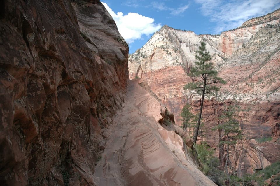 ChallengingHidden Canyon Trail3.2 mi · 4 hr · At the trailheadExposed chain ledges lead to a shaded hanging canyon.
 ChallengingWest Rim and Telephone Canyon Loop15.3 mi · 9 hr · 1 mi awayA long climb opens into a quieter plateau circuit above the canyons.
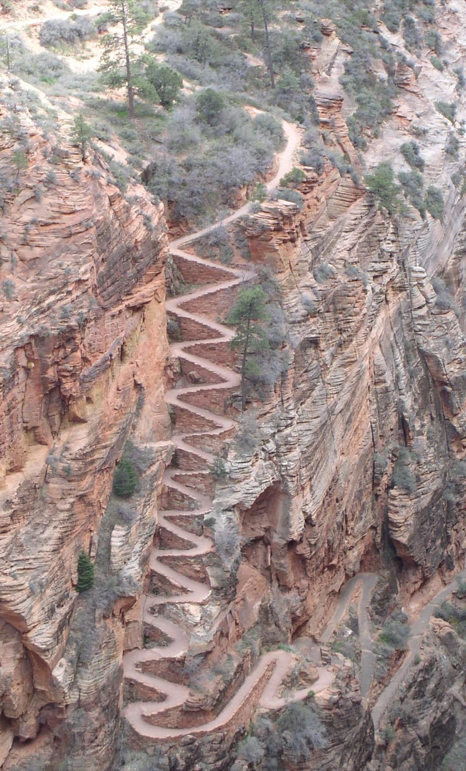 ChallengingWest Rim Trail to Cabin Spring9.4 mi · 6 hr · 1 mi awayA full-day climb beyond Scout Lookout to Cabin Spring.
 ChallengingAngels Landing Trail4.2 mi · 4 hr · 1.1 mi awayA steep canyon climb ends on a narrow, chain-lined sandstone ridge.
 ChallengingWest Rim to Scout Lookout3.8 mi · 3.5 hr · 1.1 mi awayA steep climb to a canyon lookout, before the permit boundary.
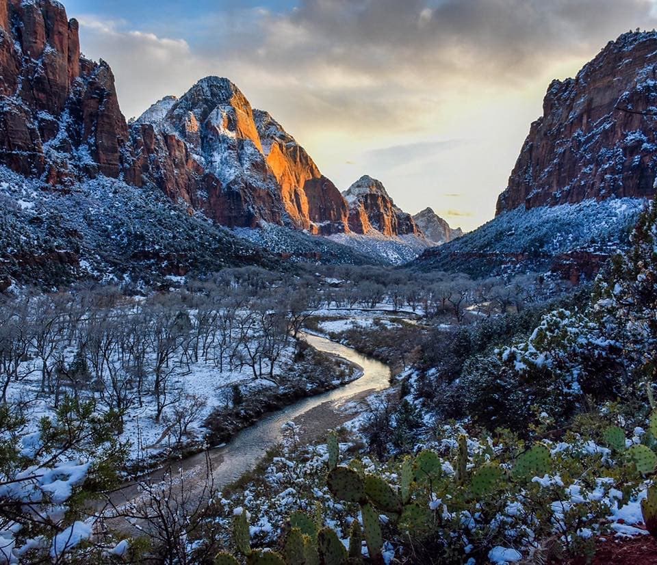 ModerateKayenta Trail1.4 mi · 2 hr · 1.1 mi awayFollow a canyon ledge from The Grotto toward the Emerald Pools.
 ChallengingThe Narrows from the Bottom Up9.4 mi · 7 hr · 1.1 mi awayWade the Virgin River through a slot canyon to Big Spring.
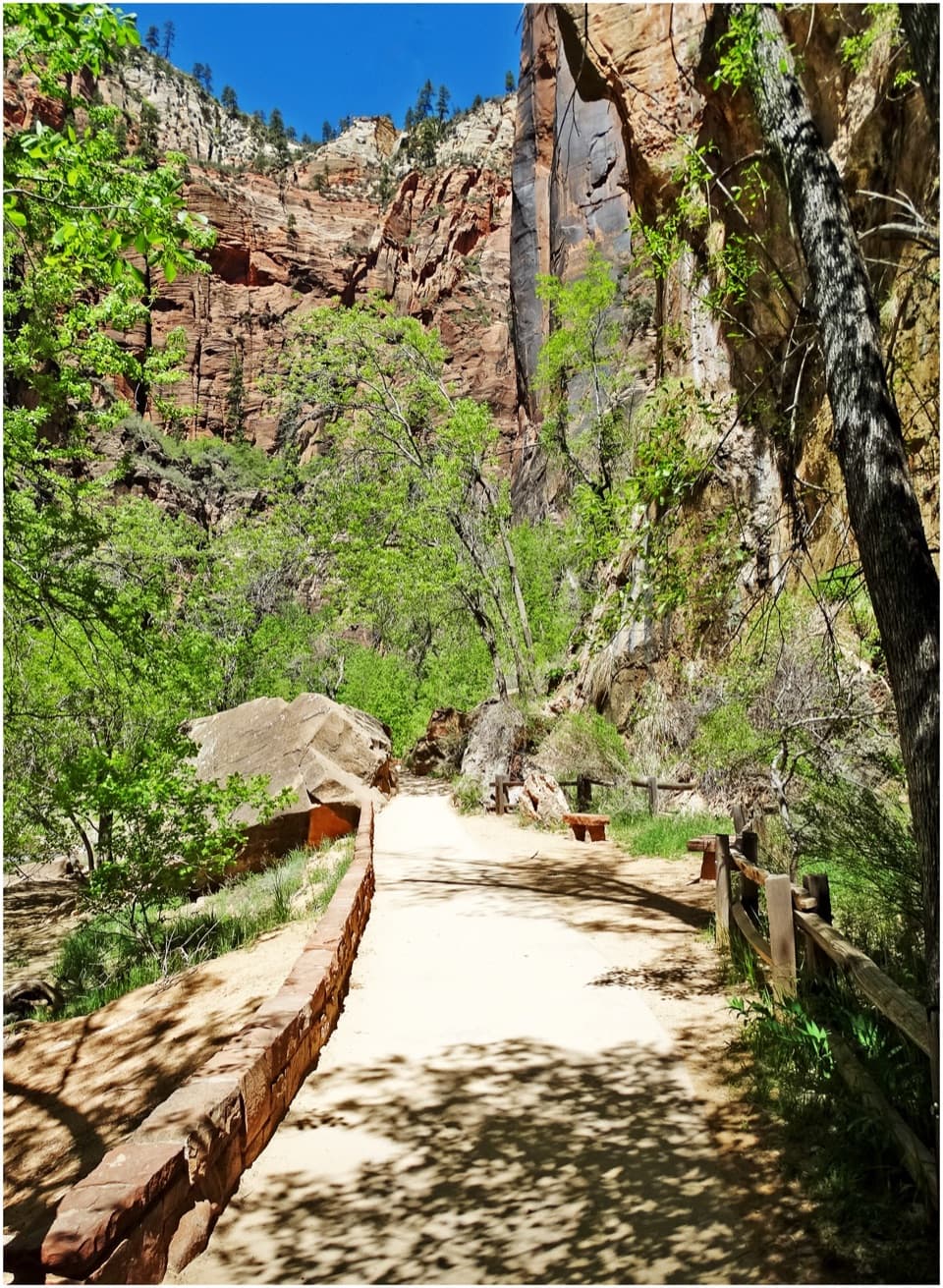 EasyRiverside Walk2 mi · 1.5 hr · 1.1 mi awayA paved river walk leads to the entrance of the Narrows.Sight · 0.1 mi awayWeeping RockA short climb to a dripping alcove and hanging garden.
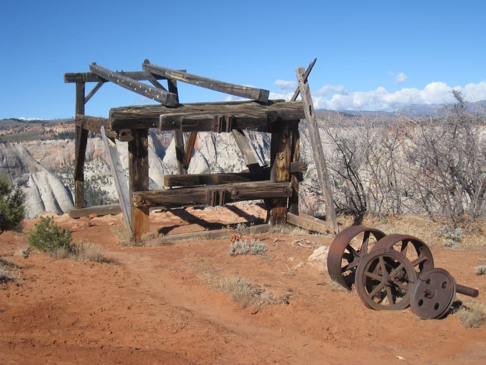 Sight · 0.3 mi awayCable Mountain Draw WorksA cliff-edge timber tram terminal with a remarkable backstory.
 Sight · 0.5 mi awayBig BendBig Bend frames the Great White Throne above the Virgin River.
 Sight · 0.5 mi awayObservation PointAngels Landing shrinks below a sweeping view down the canyon.
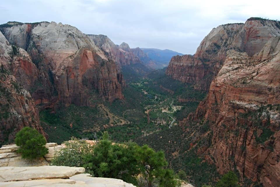 Sight · 0.5 mi awayAngels LandingA half-day summit hike, ending on a narrow ridge with chains.Sight · 0.7 mi awayScout LookoutA natural turnaround for Zion Canyon views before Angels Landing.
 Picnic area · 1 mi awayThe GrottoA shaded picnic break with a Virgin River view and trail access.
 Sight · 1.1 mi awayTemple of SinawavaThe Virgin River opens into a natural sandstone amphitheater.
Parkwolf’s Zion ranking

The audio tour guide for the drive, plus offline maps, trails, and wildlife heatmaps for when the signal drops.


