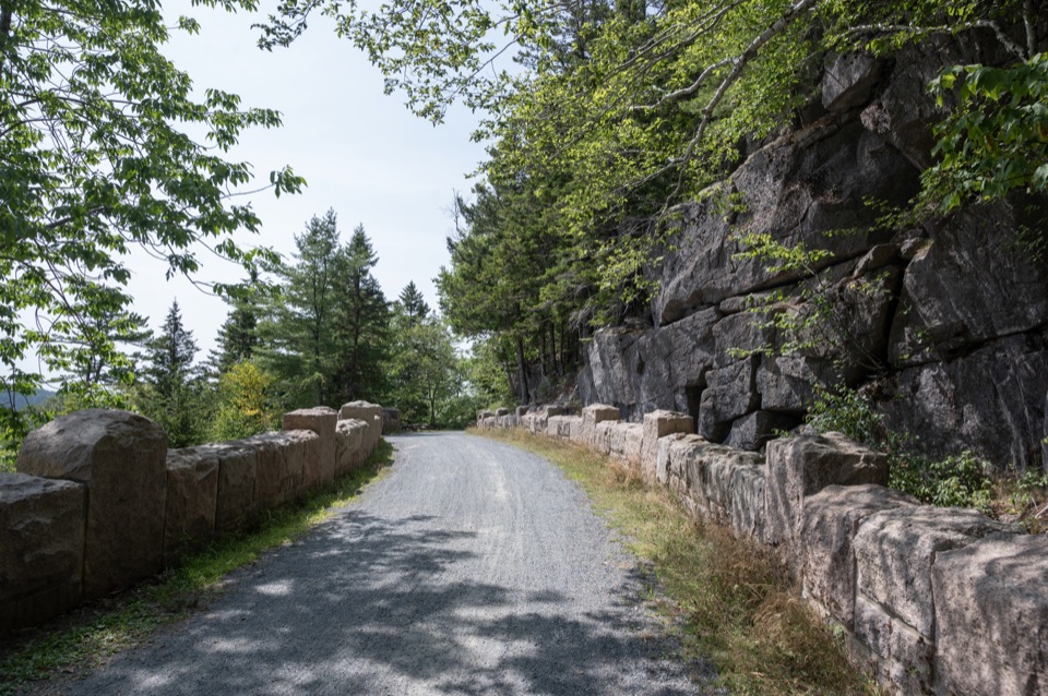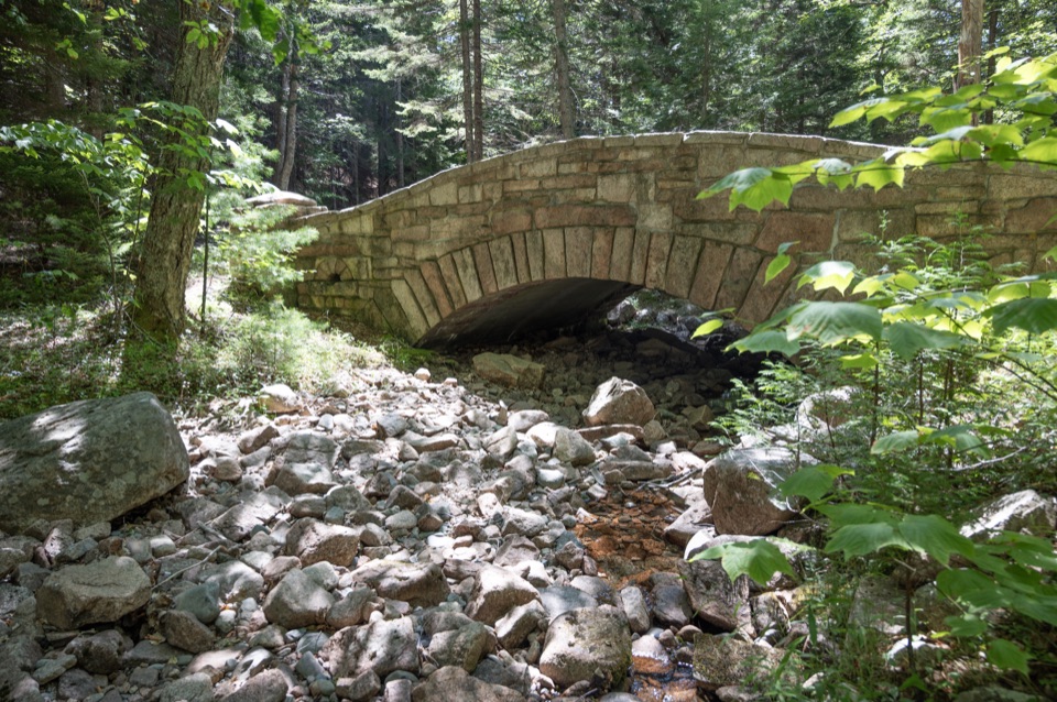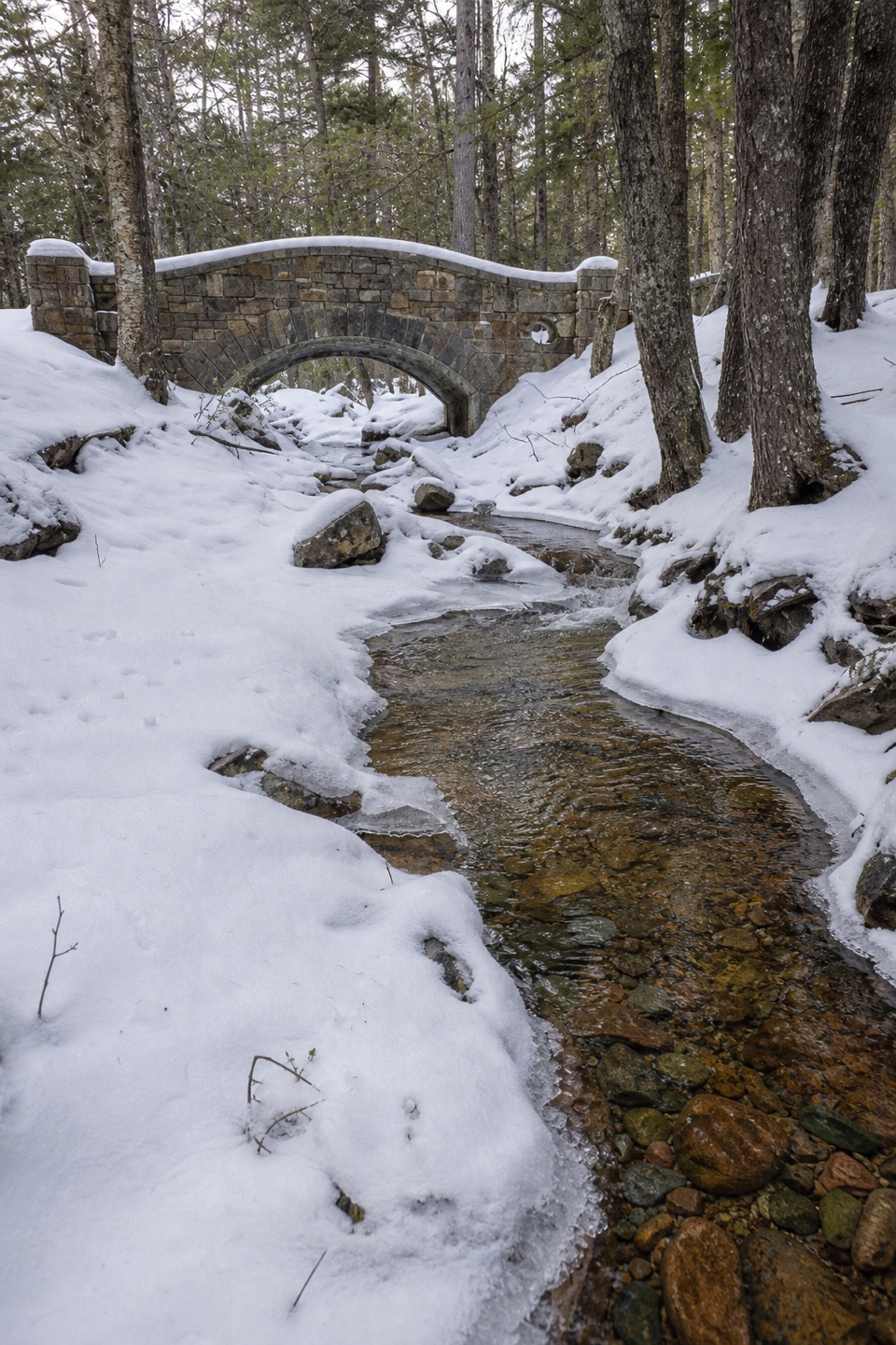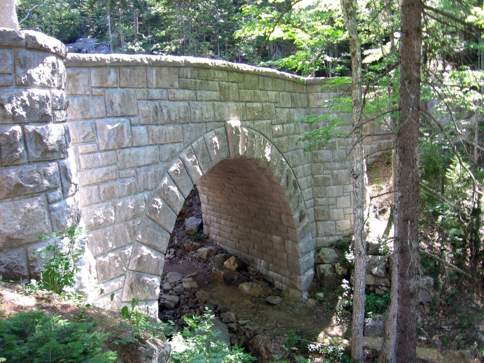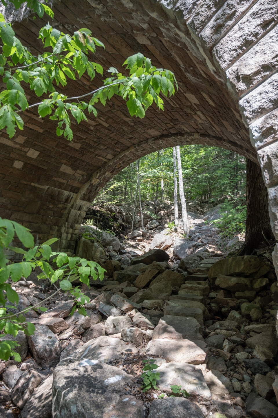
Amphitheatre Bridge in Acadia National Park

Sight · Acadia National Park

Amphitheatre Bridge

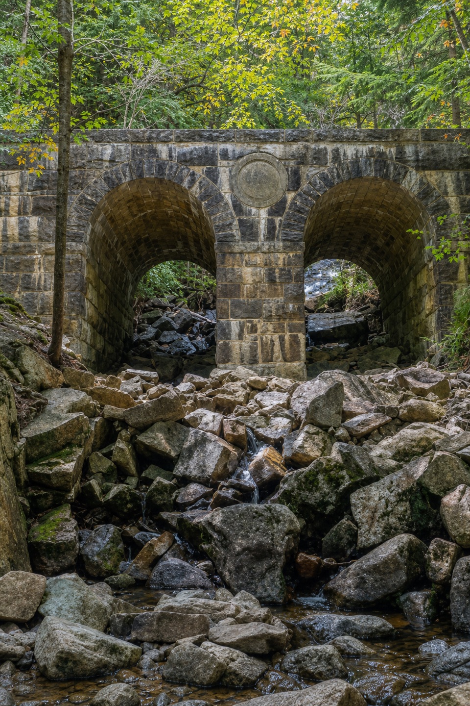
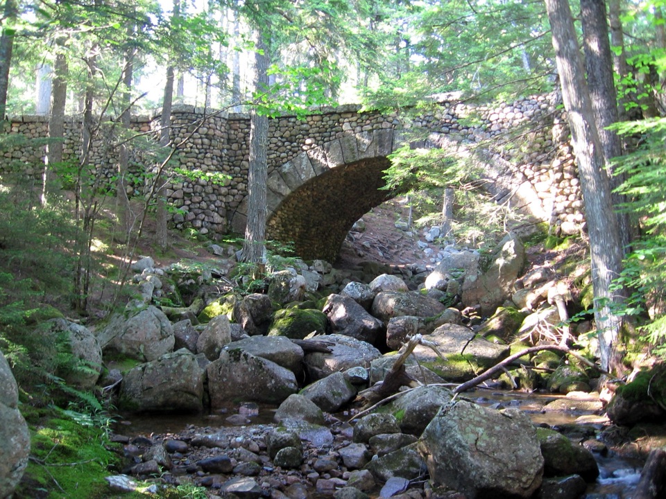
A granite arch curves around two trees toward a waterfall.

Photo: National Park Service
Type
Sight
Nearest trail
0.5 mi
Audio stories
11 nearby
  • Scenic viewpoint

Hear the audio tour

Jordan Pond and Popovers

Overview

About Amphitheatre Bridge

Why stop

  • A deliberately curved span and a viewing turret make this a distinctive carriage-road stop.

Heads up

  • Reaching it takes a hike or bike ride on car-free roads.

Map

Where it is

Loading the Acadia map
Full map
SightAmphitheatre Bridge44.32407, -68.26963
Keep this map with you offline in the Parkwolf app

Plan your stop

Before you go

4 active Acadia alerts

  • CautionAvoid water contact at Sand Beach LagoonDo not swim at Sand Beach Lagoon. - Bacterial levels have exceeded public-health standards, so the NPS has posted a Public Health Advisory.Official details
  • ClosureSchoodic Mountain Road closed for repairsSchoodic Mountain Road is closed from Schoodic Loop Road to the summit of Schoodic Head. - The closure began August 31 for resurfacing, regrading, and ditching.Official details

See all 4 alerts
A park ranger sits on a dash-mounted phone, talking, as Parkwolf’s Tour Guide plays “Army Cutworm Moths: A Grizzly Bear Buffet” on Grand Loop Road below Dunraven Pass in Yellowstone
Parkwolf Tour GuideThe highest, rockiest slopes around here are a summer buffet for grizzly bears.

Acadia Tour Guide

Your drive to Amphitheatre Bridge, narrated.

Parkwolf is a GPS audio tour guide for Acadia National Park. As you drive, it chimes in with what’s ahead: hidden gems, upcoming stops, history, geology, and wildlife, right through your car’s speakers.

Recorded for this area

Jordan Pond and Popovers
0:00 / 0:32
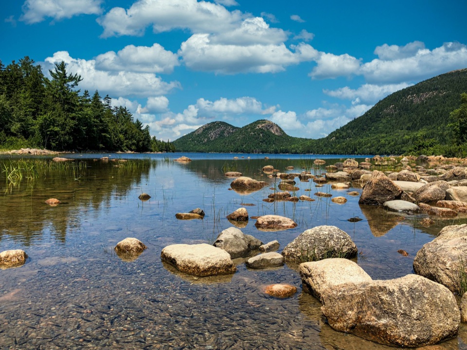
“Jordan Pond is coming up, with the rounded peaks called the Bubbles at the far end of the water. Walk down to the south shore for that classic view; you don't need to circle the lake to enjoy it.”

Plays on the road 0.9 mi from Amphitheatre Bridge in the Parkwolf Acadia Tour Guide.

More stories near here in the app

  • Norumbega Access to Bald Peak
  • Brown Mountain Gatehouse and Its Bells
  • Parkman Access to the Carriage Roads
  • Stanley Brook Bridge’s Three Crossings
  • 116 audio storiesacross Acadia’s roads, triggered by GPS as you drive
  • Wildlife heatmapsfor Bald Eagle, Peregrine Falcon, White-tailed Deer, and 13 more
  • Works offlinemaps, 142 trails, 72 places, and audio download before you lose signal
  • CarPlay readysimple controls built for the drive
★★★★★
“…As we drove through Acadia it gave us a tour, which was really cool. Lots of great info about the parks and how to avoid the crowds. It’s a great travel companion!”
MyMysteryChicaApp Store review
Download Parkwolf on the App StoreGet Parkwolf on Google Play

4.7 from 8,600+ ratings

Guide

More about Amphitheatre Bridge

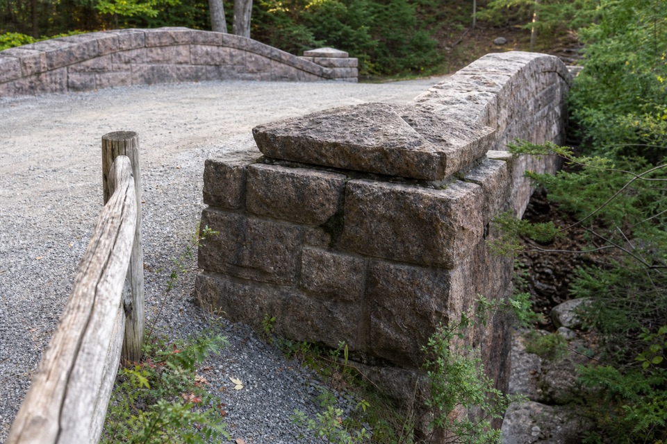
A stop along the carriage roadsAmphitheatre Bridge is a 1931 granite arch over Little Harbor Brook, near its waterfall.

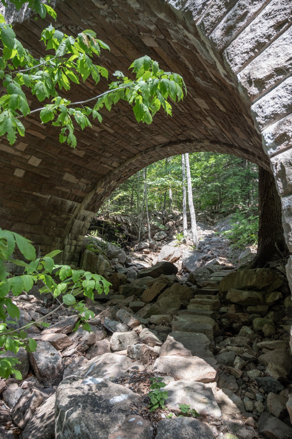
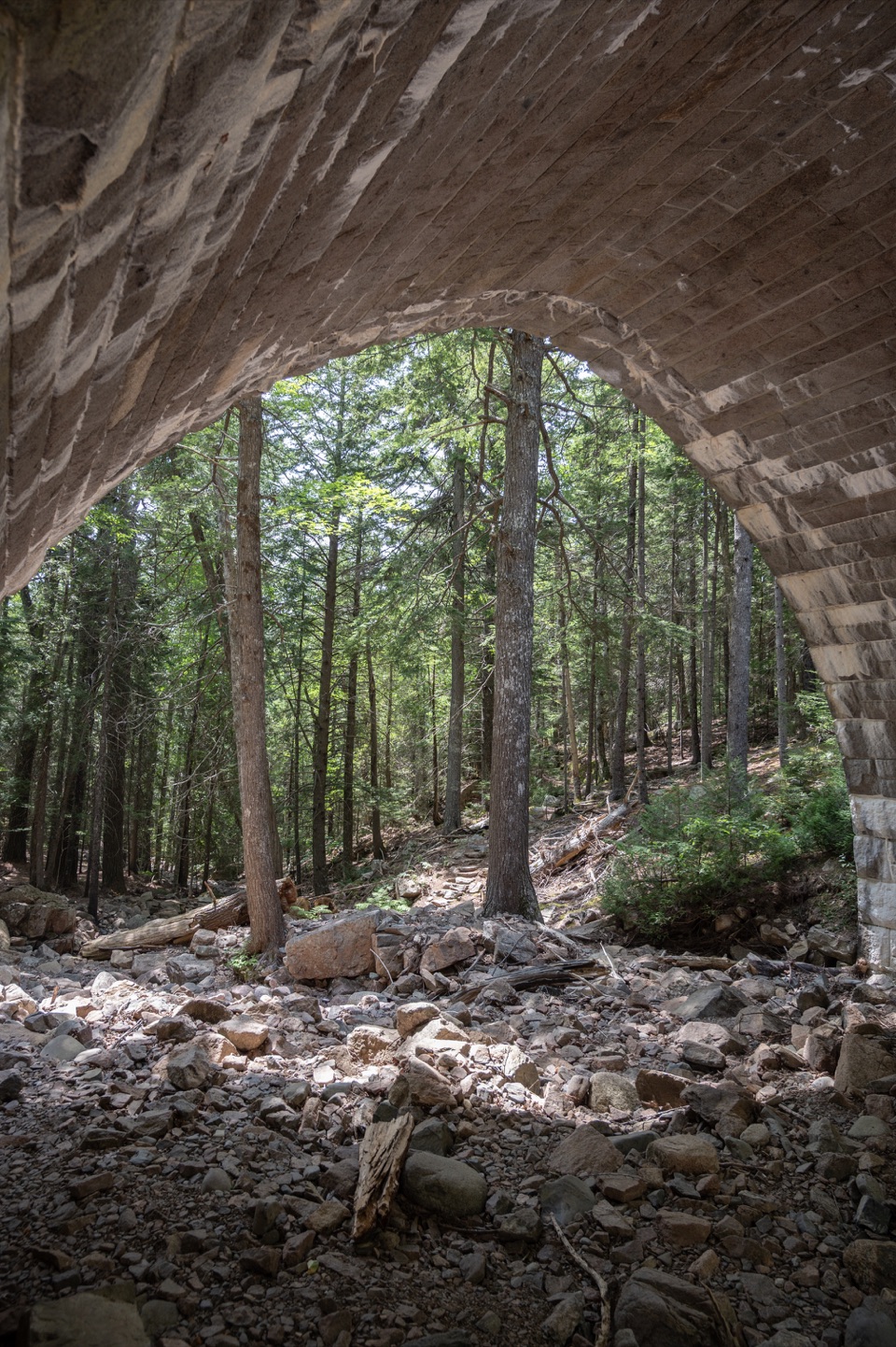
Amphitheatre Bridge is a 1931 granite arch over Little Harbor Brook, near its waterfall. It carries Amphitheatre Road in the park’s motor-free carriage-road network, so plan to reach it on foot or by bike as part of an outing rather than driving up. The Amphitheater Trail passes below the arch on rough, rocky footing.

See it from belowThe bridge is 245 feet long, with a 32-foot arch and a high point 27 feet above the brook.

The bridge is 245 feet long, with a 32-foot arch and a high point 27 feet above the brook. A turret at the east end of the south parapet has a viewing balcony over the bridge and ravine. For a closer photo, follow the trail under the span and frame the granite curve against the rocky brook bed.

Curved to fit the valleyThe bridge’s asymmetrical plan preserves two large trees and aligns the arch with the waterfall.

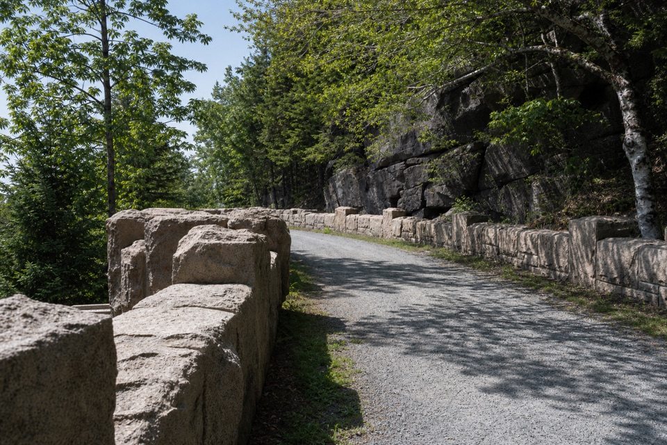
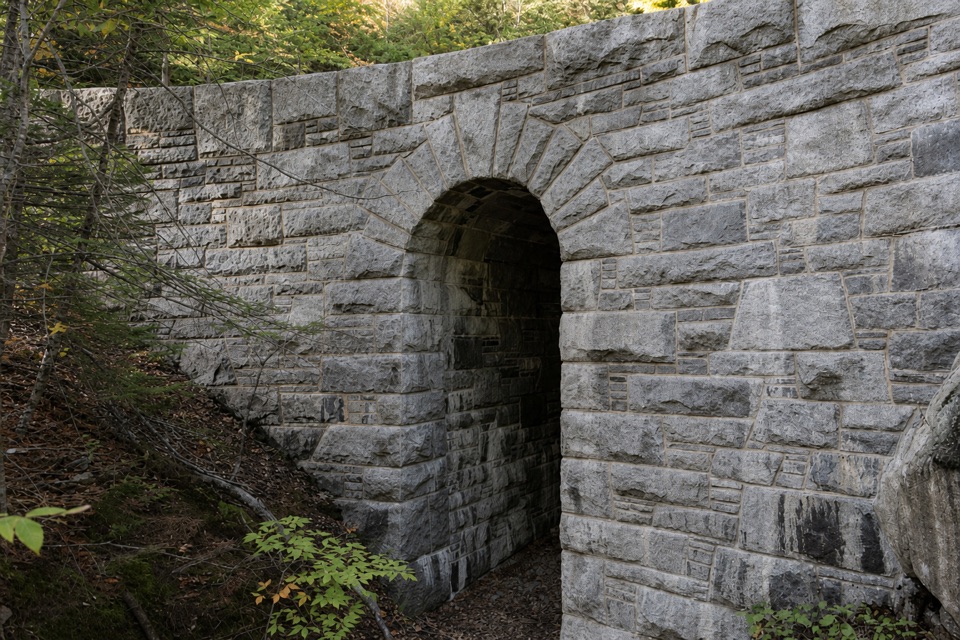
The bridge’s asymmetrical plan preserves two large trees and aligns the arch with the waterfall. Its quarry-faced, random-coursed granite sits over a reinforced-concrete base. Look at how the parapets rise toward the arch and how the stonework changes from the bridge deck to its underside.

Part of a bigger ideaThis was the largest of 17 bridges built on Mount Desert Island’s carriage roads between 1917…

This was the largest of 17 bridges built on Mount Desert Island’s carriage roads between 1917 and 1940. John D. Rockefeller Jr. and his family developed the wider motor-free network from 1913 to 1940 for horse-and-carriage travel, laying roads to follow the hillsides, preserve trees and seek views. Crews cleaned and repointed this bridge’s stonework in a 2019 preservation project.

Wildlife

Wildlife in Acadia

All Acadia wildlife maps

Sighting maps show where each species has been reported across Acadia. Wildlife moves, so no sighting is guaranteed.

Keep exploring

Near Amphitheatre Bridge

See it all on the map

Trails nearby

More stops nearby

Parkwolf’s Acadia ranking

Top sights in Acadia

All 72 places
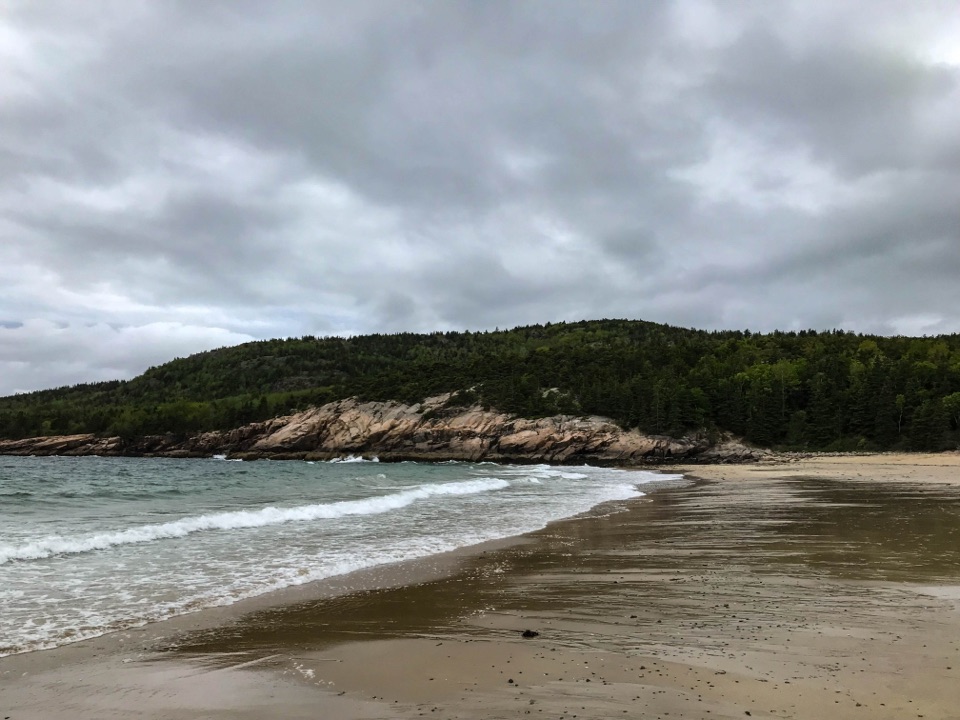
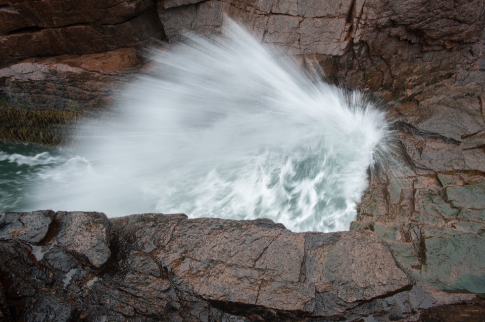
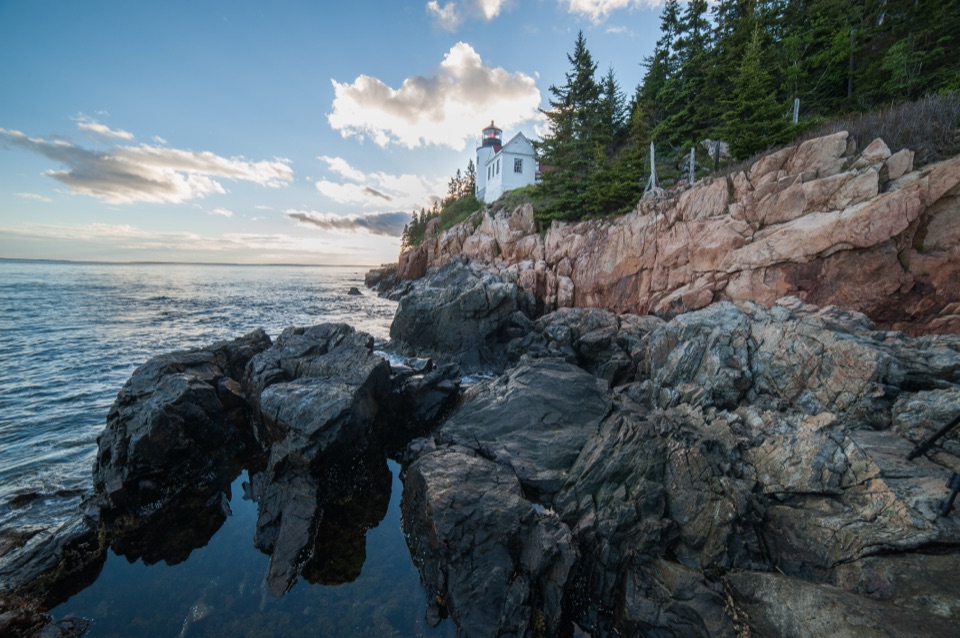
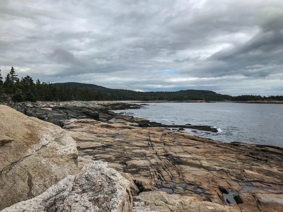
  1. 1Cadillac MountainSight
  2. 2Jordan PondSight
  3. 3Sand BeachBeach
  4. 4Thunder HoleSight
  5. 5Bass Harbor Head Light StationSight
  6. 6Schoodic PointSight

Take Parkwolf to Acadia.

The audio tour guide for the drive, plus offline maps, trails, and wildlife heatmaps for when the signal drops.

4.7 from 8,600+ ratings

Download Parkwolf on the App StoreGet Parkwolf on Google Play