Parking
Jordan Pond North Lot; follow the carriage-road connection to intersection 14. The approach walk is outside the mapped loop. An Acadia entrance pass is required May–October.
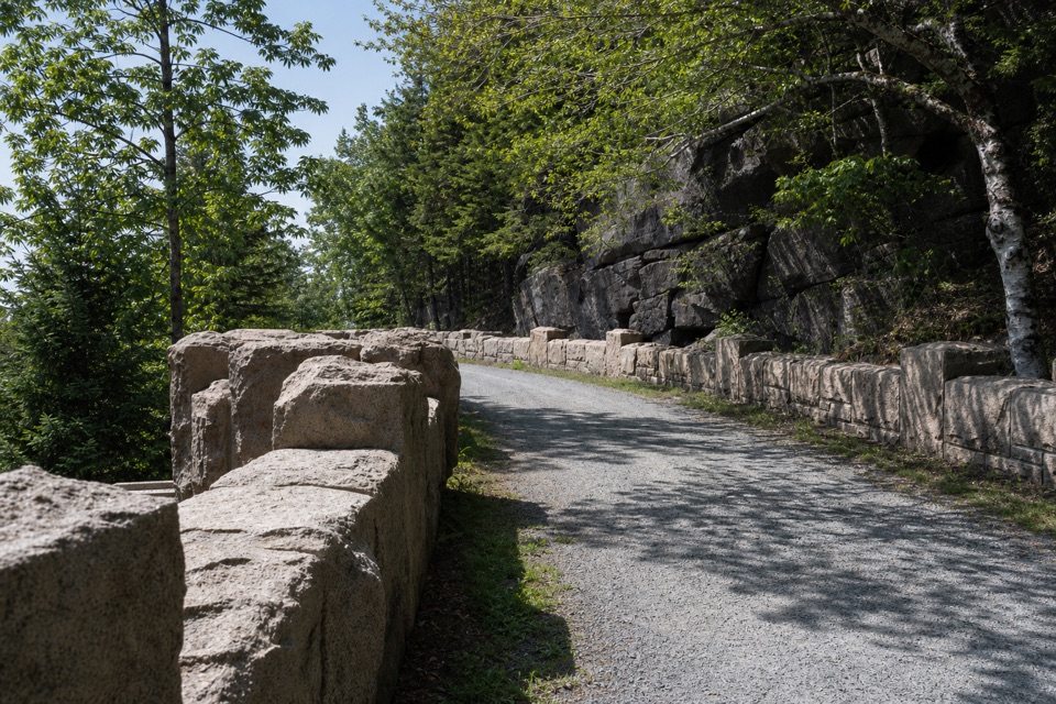
Acadia National Park, ME
A rolling carriage road loop with four historic stone bridges.
Overview
Map & elevation
Plan your hike

The highest, rockiest slopes around here are a summer buffet for grizzly bears.
Acadia Tour Guide
Parkwolf is a GPS audio tour guide for Acadia National Park. As you drive, it chimes in with what’s ahead: hidden gems, upcoming stops, history, geology, and wildlife, right through your car’s speakers.
Recorded for this area
Jordan Pond and Popovers“Jordan Pond is coming up, with the rounded peaks called the Bubbles at the far end of the water. Walk down to the south shore for that classic view; you don't need to circle the lake to enjoy it.”
Plays on the road 0.3 mi from the trailhead in the Parkwolf Acadia Tour Guide.
More stories near here in the app
“…As we drove through Acadia it gave us a tour, which was really cool. Lots of great info about the parks and how to avoid the crowds. It’s a great travel companion!”


Trail guide
The Amphitheater Loop is a 4.8-mile carriage-road circuit in Acadia, following the numbered sequence 14–21–20–22–21–14. You share the approach between 14 and 21 in both directions, then make a smaller loop through 20 and 22. The park’s overview lists 4.4 miles, while the mapped line for this intersection sequence measures 4.79; use about 4.8 miles for planning. This is the standalone carriage-road loop, without the Hadlock extension or the Jordan Pond walking-path connector.
The road is about 16 feet wide, surfaced with broken stone and closed to cars. It is still a shared route: expect bicycles and horse-drawn carriages. The grades roll throughout, with a short steep drop and climb between 14 and 21 and a more substantial descent and climb near 22. Plan around 2½ hours, plus time to stop at the bridges. It is a moderate outing by distance and hills, even though the surface is broad and easy to follow. Keep right and warn before passing; cyclists yield to other users, and walkers yield to horses.
The approach to 21 passes West Branch Jordan Stream and Cliffside bridges; the loop then reaches Amphitheatre Bridge and Little Harbor Brook Bridge. Amphitheatre Bridge is the standout: its 245-foot masonry arch was completed in 1931 and rises 27 feet above Little Harbor Brook. A turret balcony looks over the bridge and ravine, a worthwhile place to pause and frame the stonework with the wooded slopes.
John D. Rockefeller Jr. and his family gave Acadia’s carriage-road system to the public. Built from 1913 to 1940, the roads curve along hillsides to work with the terrain, retain trees and open carefully framed views. On this circuit, the bridges, retaining walls and broad gravel surface are part of the experience, not just a way to reach a summit.
Begin at carriage-road intersection 14 and follow the numbered signs. Jordan Pond North Lot is the named parking access; follow the carriage-road connection from the lot to 14, an approach that is not included in the mapped loop mileage. An Acadia entrance pass is required for parking from May through October. Carriage roads may close in spring mud season until their surfaces dry and firm, so check current conditions before setting out. Dogs are allowed on the carriage roads and must stay on a leash no longer than six feet.
Wildlife
 130 sightingsBald EagleMost seen around noonSighting map
 21 sightingsPeregrine FalconMost seen around 10 AMSighting map
 396 sightingsWhite-tailed DeerMost seen around 7 PMSighting map
 305 sightingsPorcupineMost seen around 7 PMSighting map
 201 sightingsBeaverMost seen around 7 PMSighting map
 34 sightingsMinkMost seen around 7 PMSighting map
Sighting maps show where each species has been reported across Acadia. Wildlife moves, so no sighting is guaranteed.
Keep exploring
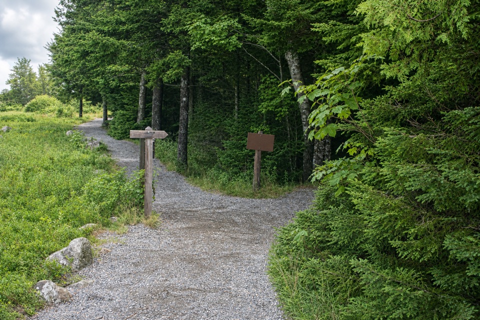 EasyJordan Pond Nature Trail0.2 mi · 20 min · 0.1 mi awayA short history loop reaches Jordan Pond’s stone causeway.
 ModerateJordan Pond Path3.3 mi · 2 hr · 0.1 mi awayA 3.3-mile loop from smooth shore to rocky scrambling.
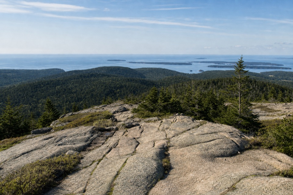 ChallengingPemetic Mountain Loop4 mi · 3 hr · 0.1 mi awayA lakeside approach climbs to a steep scramble and wide island views.
 ModeratePemetic South Ridge Trail4 mi · 2.5 hr · 0.2 mi awayClimb rocky granite to Pemetic's open summit and coastal views.
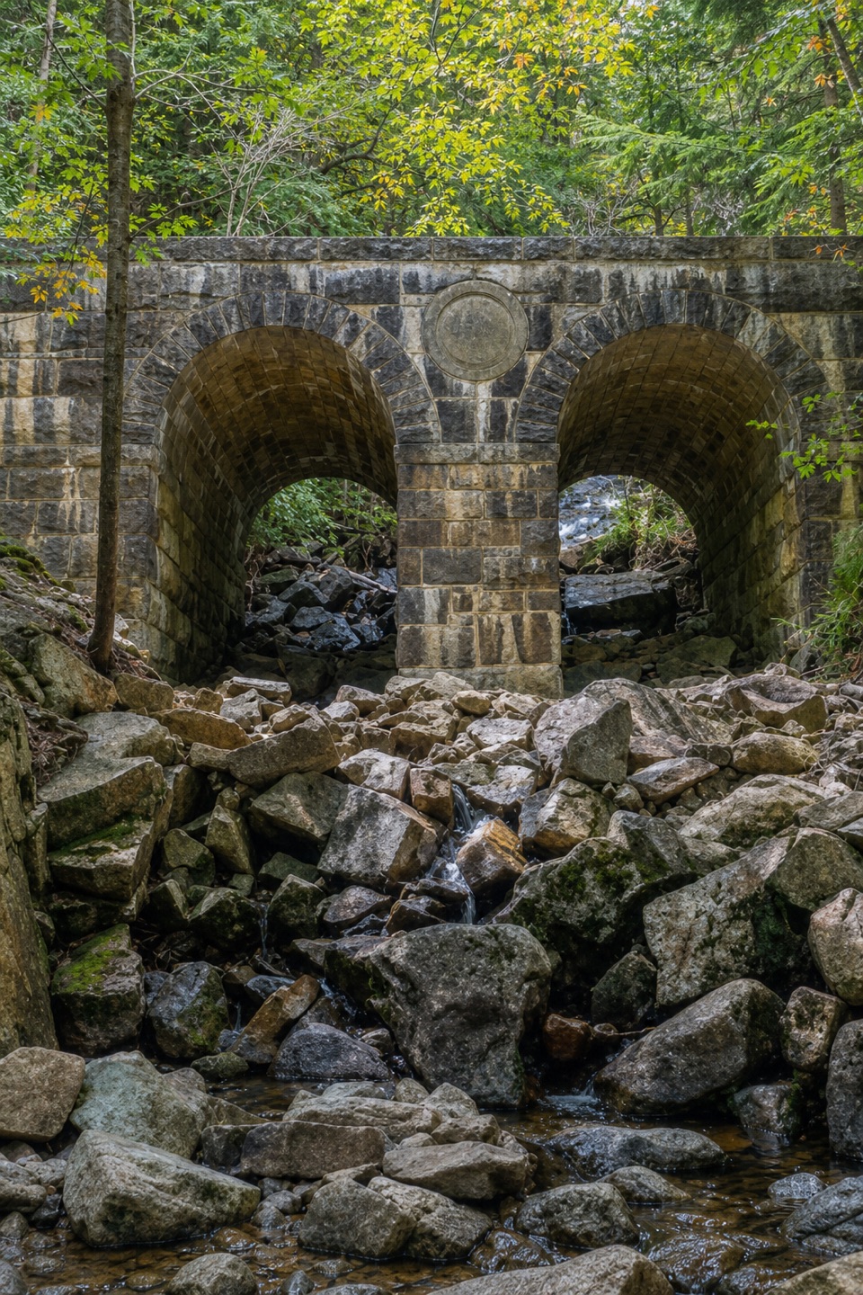 ModerateJordan Pond Carriage Road Loop8.6 mi · 4 hr · 0.2 mi awayFour historic bridges are the payoff on this long, rolling loop.
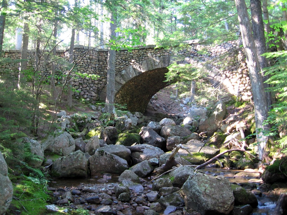 EasyJordan Stream Path1.2 mi · 1 hr · 0.2 mi awayA shaded brook walk ends at Acadia's only cobblestone bridge.
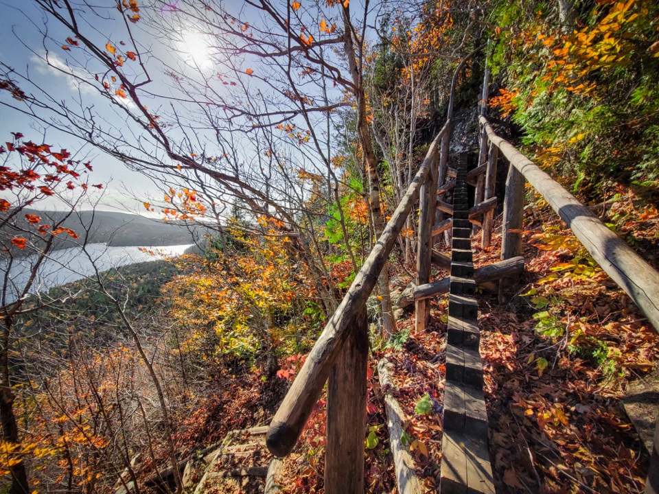 ChallengingJordan Cliffs Trail1.5 mi · 2 hr · 0.2 mi awayIron rungs, exposed ledges, and a sweeping look over Jordan Pond
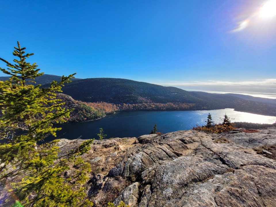 ChallengingPenobscot Mountain Trail3.8 mi · 3.5 hr · 0.2 mi awaySteep granite scrambling opens to pond and island views.
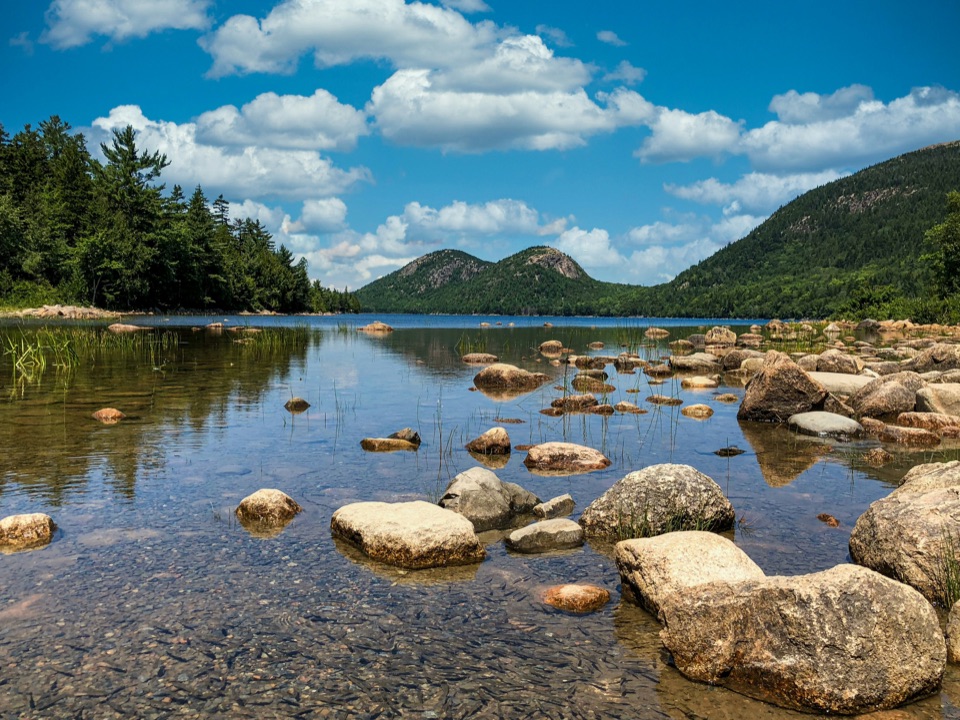 Sight · 0.1 mi awayJordan PondClear water, bare granite, and the Bubbles in one frame.
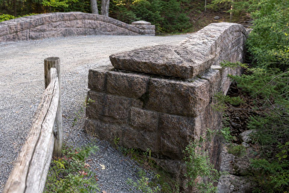 Sight · 0.1 mi awayJordan Pond Dam BridgeA raised 1920 crossing over the dam and toward the pond.
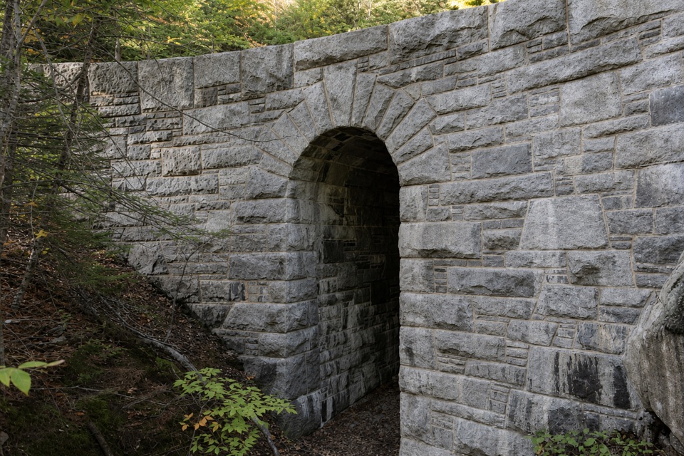 Sight · 0.2 mi awayWest Branch Jordan Stream BridgeA granite carriage-road bridge with a six-foot Roman arch.
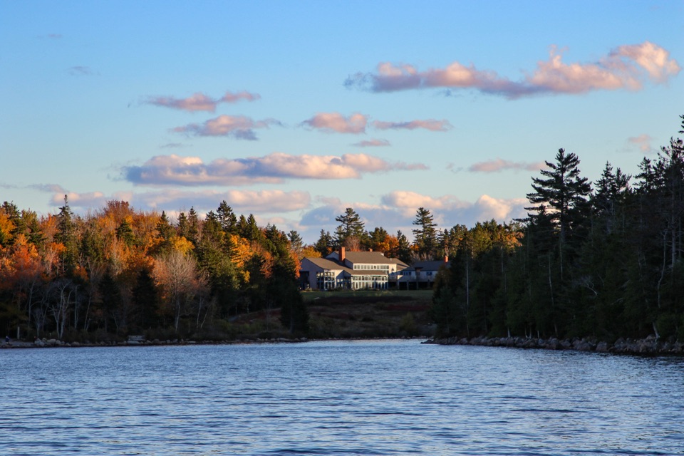 Restaurant · 0.2 mi awayJordan Pond HouseTea and popovers with Jordan Pond and The Bubbles in view
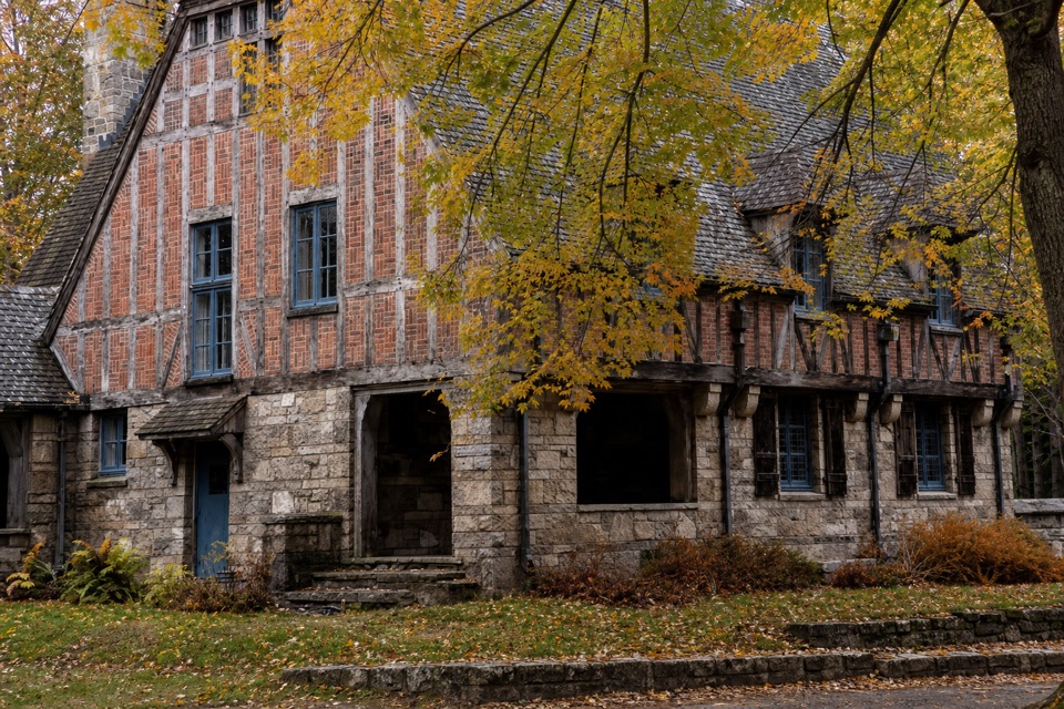 Sight · 0.3 mi awayJordan Pond GatehouseA 1930s stone-and-timber gateway to the carriage roads.
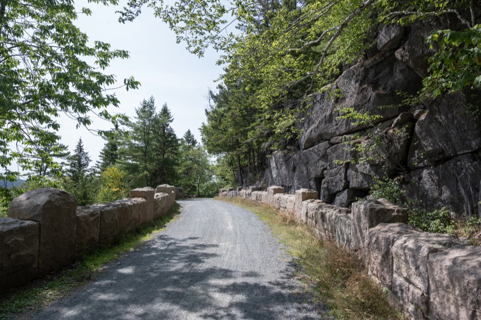 Sight · 0.6 mi awayCliffside BridgeA 1932 stone bridge with castle turrets above Jordan Stream.
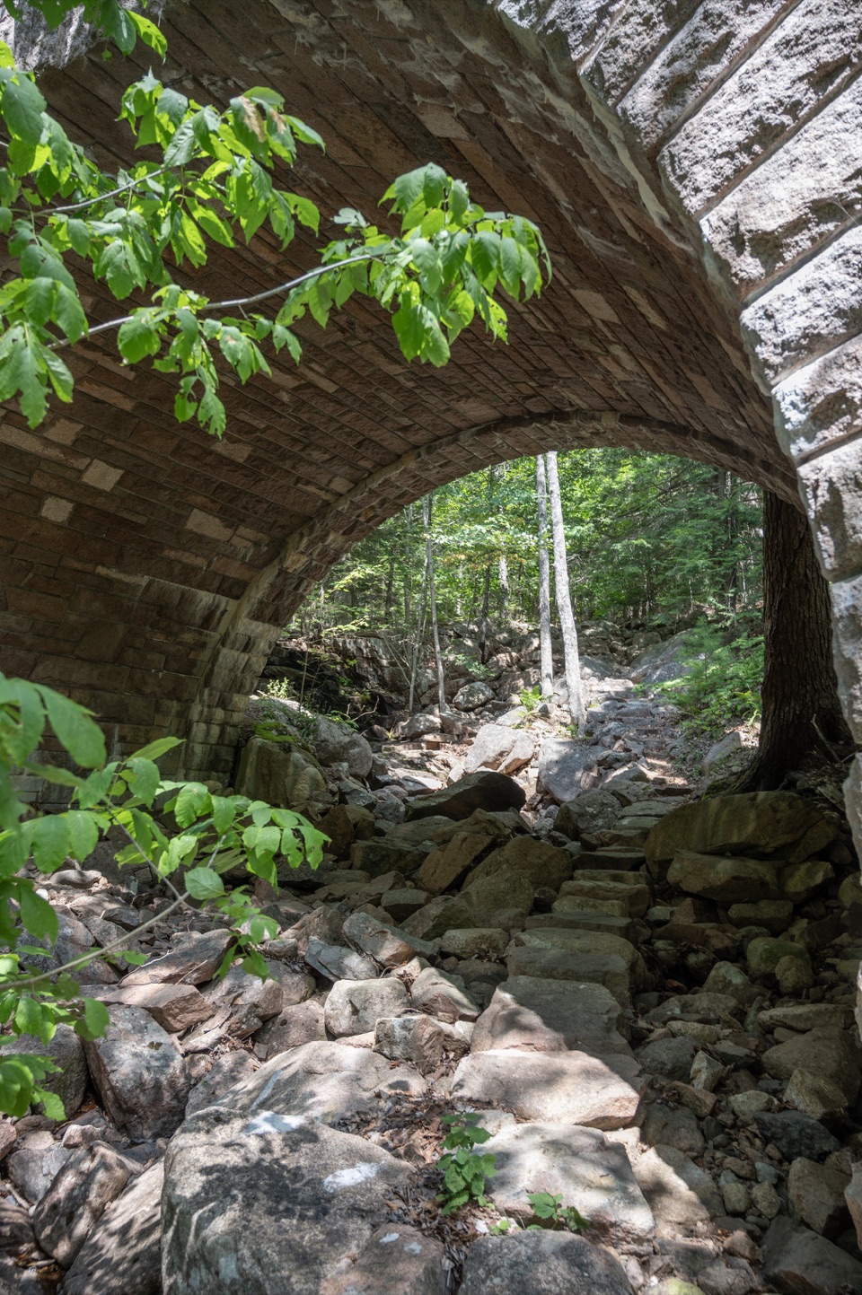 Sight · 0.7 mi awayAmphitheatre BridgeA granite arch curves around two trees toward a waterfall.Sight · 0.7 mi awayCobblestone BridgeA 1917 carriage-road bridge with an unusual cobblestone arch.
Parkwolf’s Acadia ranking

The audio tour guide for the drive, plus offline maps, trails, and wildlife heatmaps for when the signal drops.




