Cadillac Mountain in Acadia National Park

#1 of 54 sights in Acadia

Sight · Acadia National Park

Cadillac Mountain

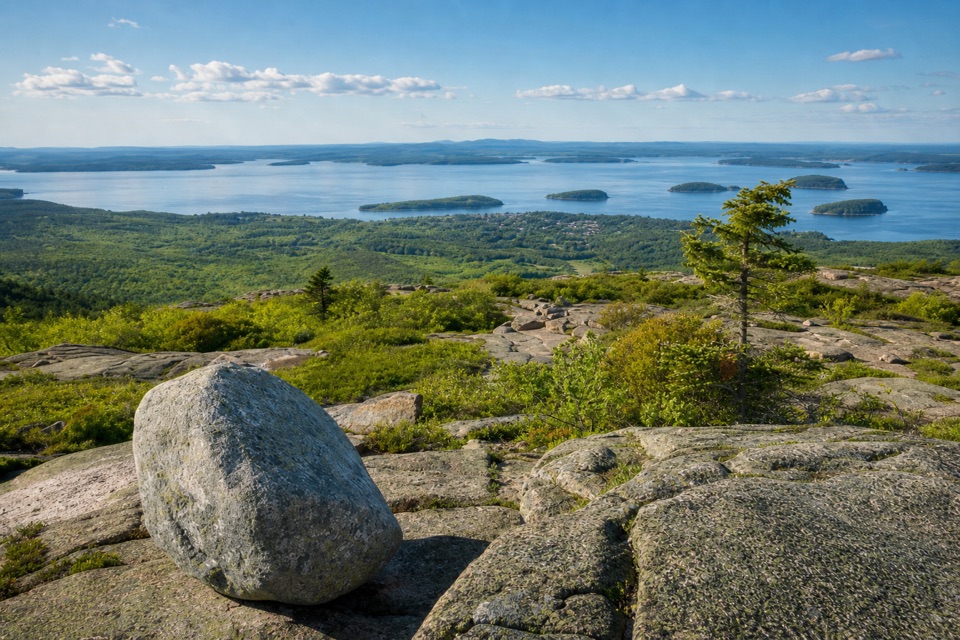
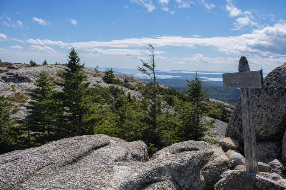
A short summit walk opens onto an island-and-ocean panorama.

Photo: Unsplash License
Type
Sight
Nearest trail
Right here
Audio stories
22 nearby
  • Parking
  • Restrooms
  • Scenic viewpoint
  • Trailhead

Hear the audio tour

Cadillac Mountain Summit

Overview

About Cadillac Mountain

Why stop

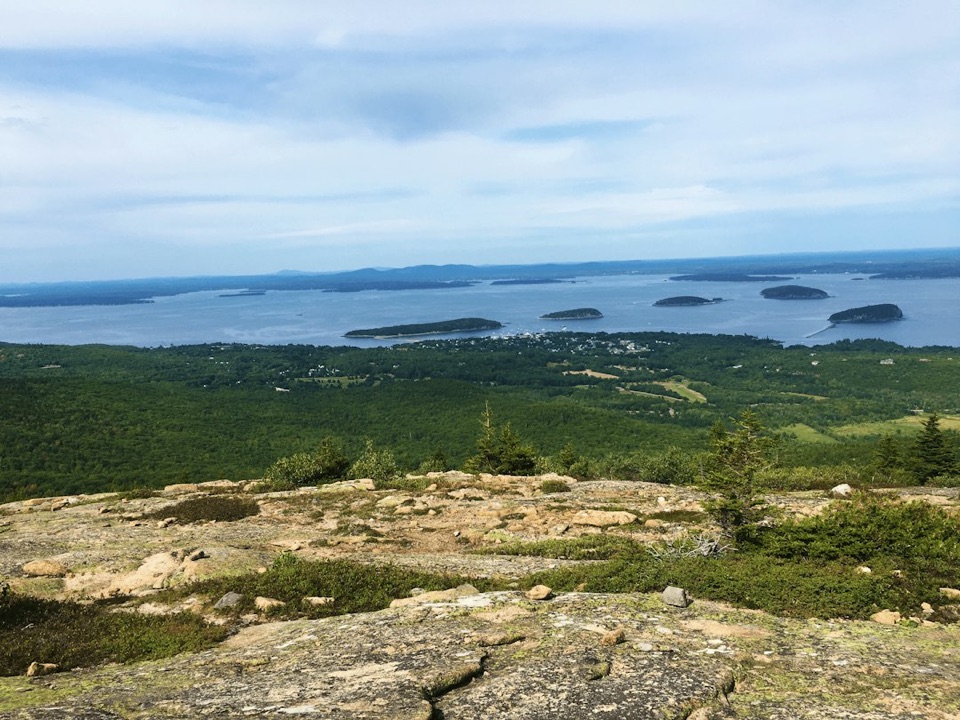
  • Frenchman Bay and the Porcupine Islands are both visible from the summit loop.

Heads up

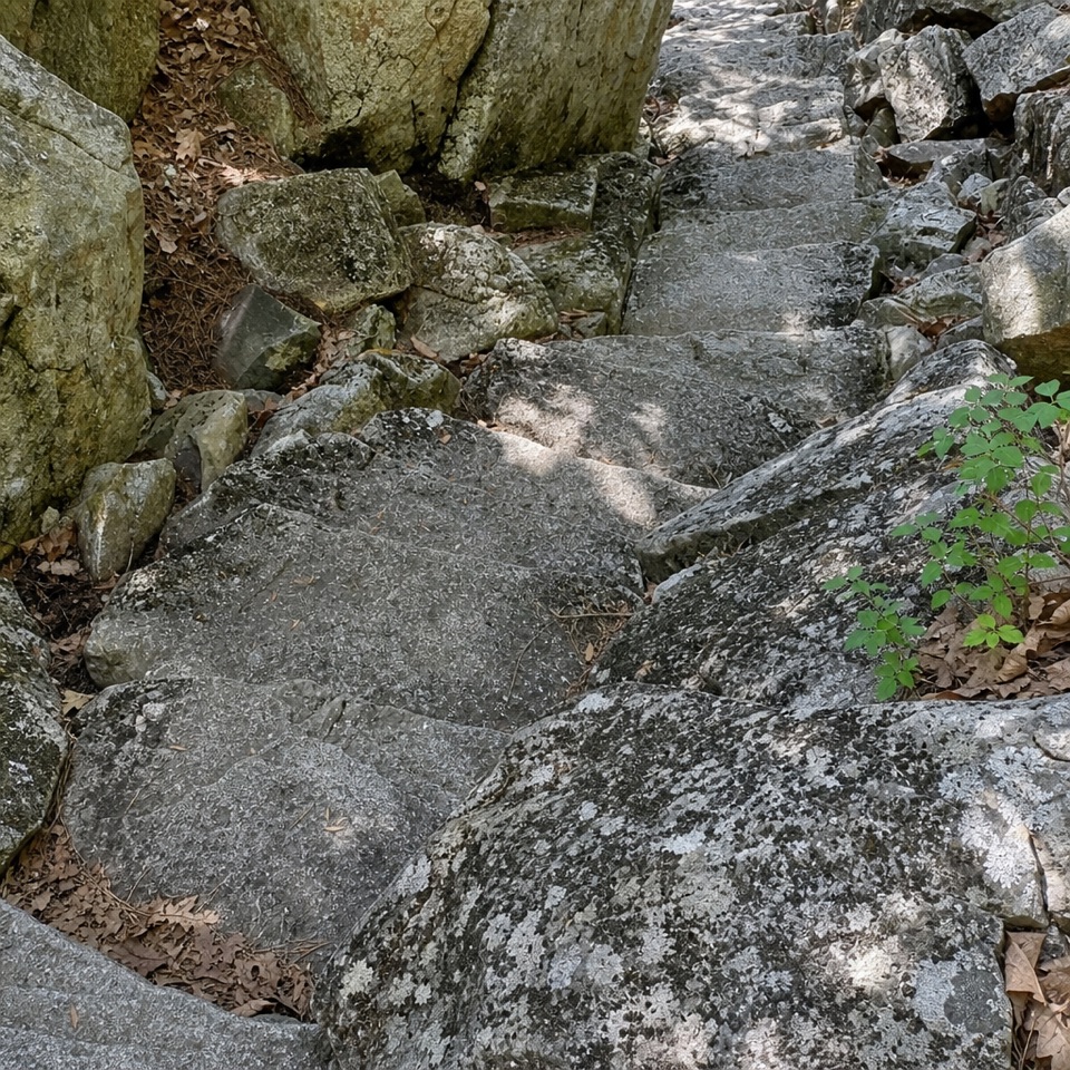
  • Peak-season crowds and steep or stepped sections limit the easy, accessible feel.
This 1,530-foot granite summit is Acadia’s signature drive-up viewpoint and the highest point along the U.S. Atlantic coast. The curving Summit Road climbs 3.5 miles from Park Loop Road; at the top, a short paved loop and open ledges look across Frenchman Bay and the Porcupine Islands. It is the big view without a long summit hike. If you have time for only one stop on the mountain, walk the loop and take in the view from more than one side.
Parkwolf’s verdictA summit worth the drive

Map

Where it is

Loading the Acadia map
Full map
SightCadillac Mountain44.35258, -68.22510
Keep this map with you offline in the Parkwolf app

Plan your stop

Before you go

Best time to go

Sunrise is a major draw, but Cadillac is the first place in the United States to see it only from October 7 through March 6. Outside that window, it is still a striking high viewpoint at dawn; sunset is popular too. Arrive early enough to find parking and choose a place along the loop. NPS recommends about an hour before sunrise or sunset. Wind, fog, rain and cold can make the summit feel very different from the lower road, so bring a warm layer and be ready for cloud to hide the sun. For a photo, include some granite in the foreground with the islands beyond it; the rock gives the big water view a sense of height.


Facilities at the top

The summit has public restrooms, potable water and a gift shop beside the walking area. Some of the paths are accessible, but the whole loop is not; check the park’s current accessibility details if you need a continuous step-free route.

4 active Acadia alerts

  • CautionAvoid water contact at Sand Beach LagoonDo not swim at Sand Beach Lagoon. - Bacterial levels have exceeded public-health standards, so the NPS has posted a Public Health Advisory.Official details
  • ClosureSchoodic Mountain Road closed for repairsSchoodic Mountain Road is closed from Schoodic Loop Road to the summit of Schoodic Head. - The closure began August 31 for resurfacing, regrading, and ditching.Official details
See all 4 alerts
A park ranger sits on a dash-mounted phone, talking, as Parkwolf’s Tour Guide plays “Army Cutworm Moths: A Grizzly Bear Buffet” on Grand Loop Road below Dunraven Pass in Yellowstone
Parkwolf Tour GuideThe highest, rockiest slopes around here are a summer buffet for grizzly bears.

Acadia Tour Guide

Your drive to Cadillac Mountain, narrated.

Parkwolf is a GPS audio tour guide for Acadia National Park. As you drive, it chimes in with what’s ahead: hidden gems, upcoming stops, history, geology, and wildlife, right through your car’s speakers.

Recorded for this place

Cadillac Mountain Summit
0:00 / 0:28
“You're approaching the summit of Cadillac Mountain, where a short walk opens up the view across Frenchman Bay and the Porcupine Islands.”

Plays as you drive up to Cadillac Mountain in the Parkwolf Acadia Tour Guide.

More stories near here in the app

  • The Chickadee’s Hidden Pantry
  • Cadillac’s Train to the Top
  • Bubble Pond and Its Rustic Bridge
  • Dorr Mountain’s Ladder Trail
  • 116 audio storiesacross Acadia’s roads, triggered by GPS as you drive
  • Wildlife heatmapsfor Bald Eagle, Peregrine Falcon, White-tailed Deer, and 13 more
  • Works offlinemaps, 142 trails, 72 places, and audio download before you lose signal
  • CarPlay readysimple controls built for the drive
★★★★★
“…As we drove through Acadia it gave us a tour, which was really cool. Lots of great info about the parks and how to avoid the crowds. It’s a great travel companion!”
MyMysteryChicaApp Store review
Download Parkwolf on the App StoreGet Parkwolf on Google Play

4.7 from 8,600+ ratings

Guide

More about Cadillac Mountain

Walk the summit loopTwo parking areas connect to the Cadillac Summit Loop, overlooks and interpretive waysides.

Two parking areas connect to the Cadillac Summit Loop, overlooks and interpretive waysides. The walk is short, but it is not uniformly easy: parts are steep or have steps, so only sections are wheelchair accessible. Keep to the marked paths. The open granite is edged with low plants, including alpine blueberry and pin cherry, and roped areas protect fragile vegetation from erosion.

Plan ahead for the roadThe summit road is a winding, paved climb from Park Loop Road.

The summit road is a winding, paved climb from Park Loop Road. During the busier driving season, reaching the summit by car requires a separate timed reservation in addition to park entry; dates, fees and availability change, so check current rules before setting out. A reservation does not guarantee an assigned parking space, and the summit lots and short walkway can get crowded, especially around sunrise and sunset. No public bus goes to the top. If you hike up, plan to return by trail rather than walking down the busy road.

A very old granite summitCadillac Mountain Granite is about 420 million years old and is one of Mount Desert Island’s…

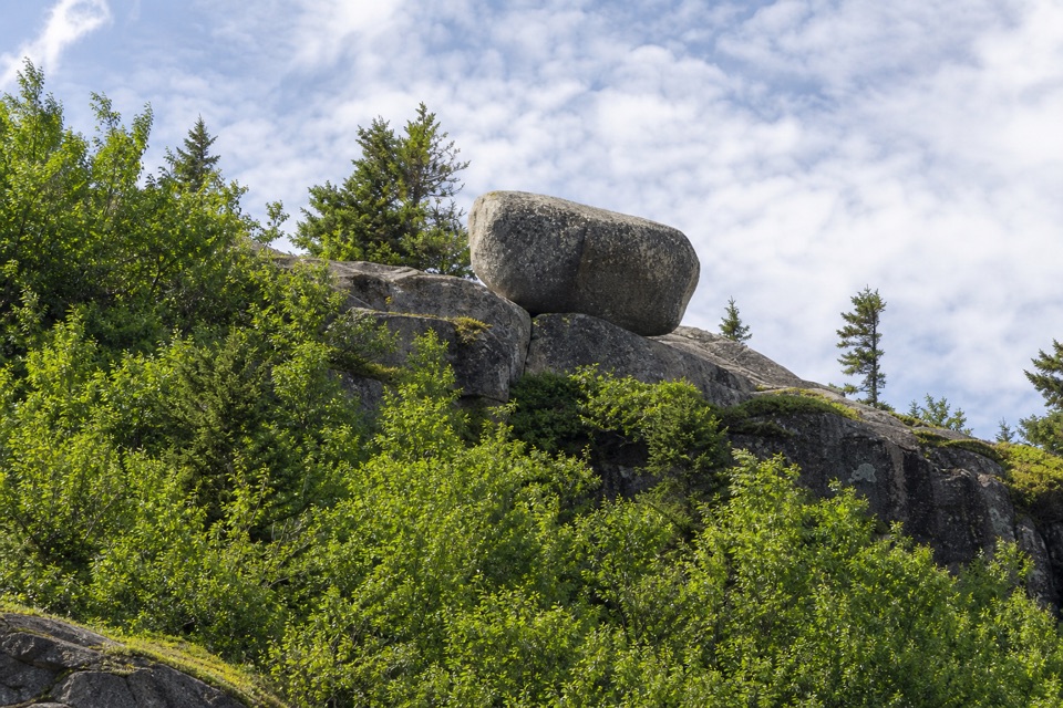
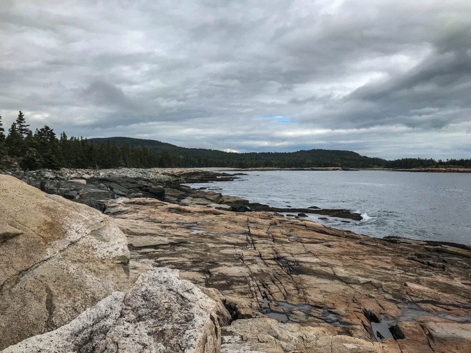
Cadillac Mountain Granite is about 420 million years old and is one of Mount Desert Island’s largest and oldest granite bodies. Molten rock pushed into older stone, fracturing it and carrying older blocks within it. Look for dark diabase dikes along the summit road: they cut through the lighter granite and tell a later part of the island’s geologic story. Glaciers then carved the region’s valleys and left the ridges and islands around you.

Wabanaki homeland and a summit roadMount Desert Island is Wabanaki homeland; Pemetic, a Wabanaki name for the island, means “range…

Mount Desert Island is Wabanaki homeland; Pemetic, a Wabanaki name for the island, means “range of mountains.” People have valued the summit views for thousands of years. Cadillac was once called Green Mountain, and the summit became a popular destination for visitors by the late 1800s. The Hancock County Trustees for Public Reservations bought the summit in 1908. The road that brings cars to the top today was built from 1924 to 1931.

Wildlife

Wildlife in Acadia

All Acadia wildlife maps

Sighting maps show where each species has been reported across Acadia. Wildlife moves, so no sighting is guaranteed.

Keep exploring

Near Cadillac Mountain

See it all on the map

Trails nearby

More stops nearby

Parkwolf’s Acadia ranking

Top sights in Acadia

All 72 places
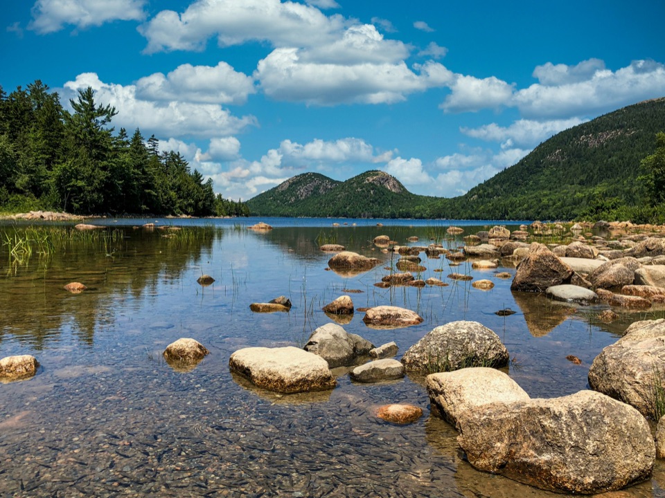
  1. 2Jordan PondSight
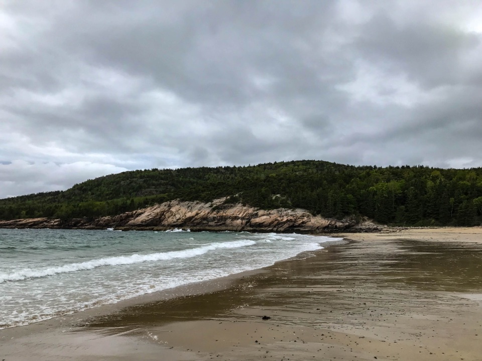
  2. 3Sand BeachBeach
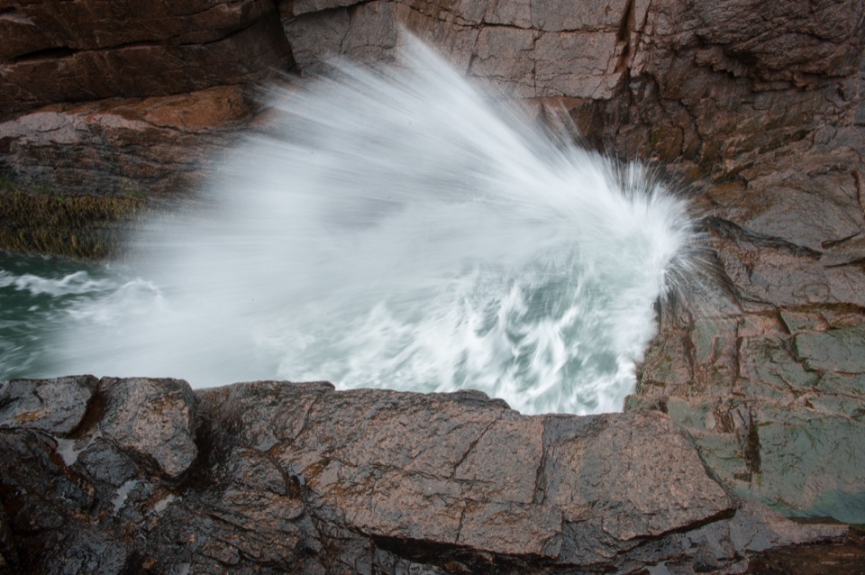
  3. 4Thunder HoleSight
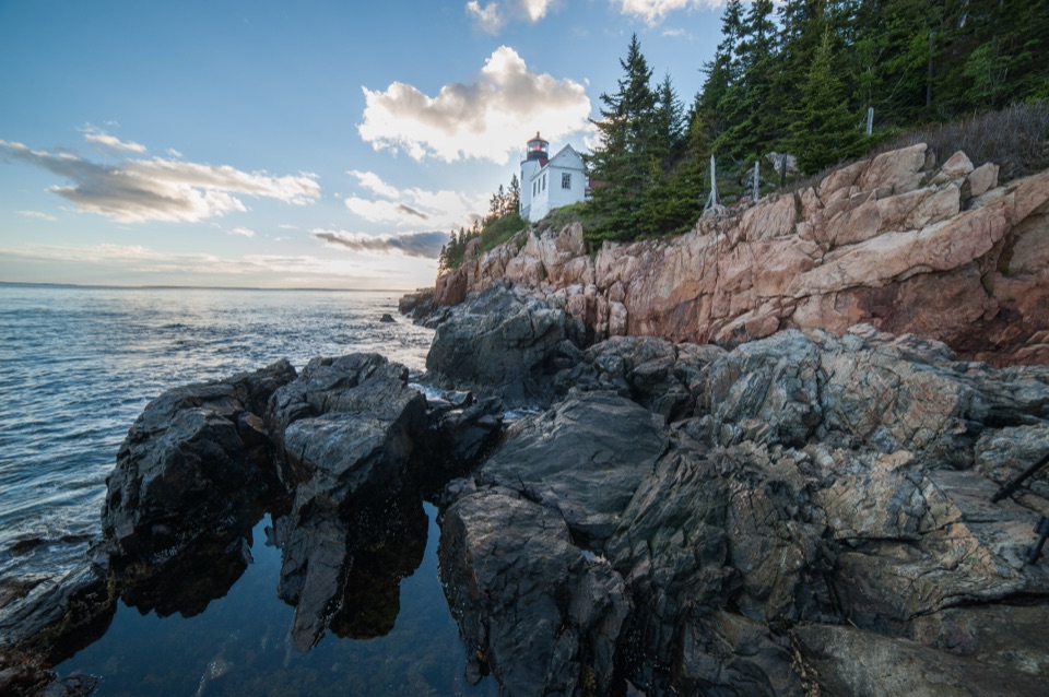
  4. 5Bass Harbor Head Light StationSight
  5. 6Schoodic PointSight
  6. 7Otter CliffSight

Take Parkwolf to Acadia.

The audio tour guide for the drive, plus offline maps, trails, and wildlife heatmaps for when the signal drops.

4.7 from 8,600+ ratings

Download Parkwolf on the App StoreGet Parkwolf on Google Play