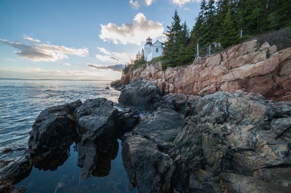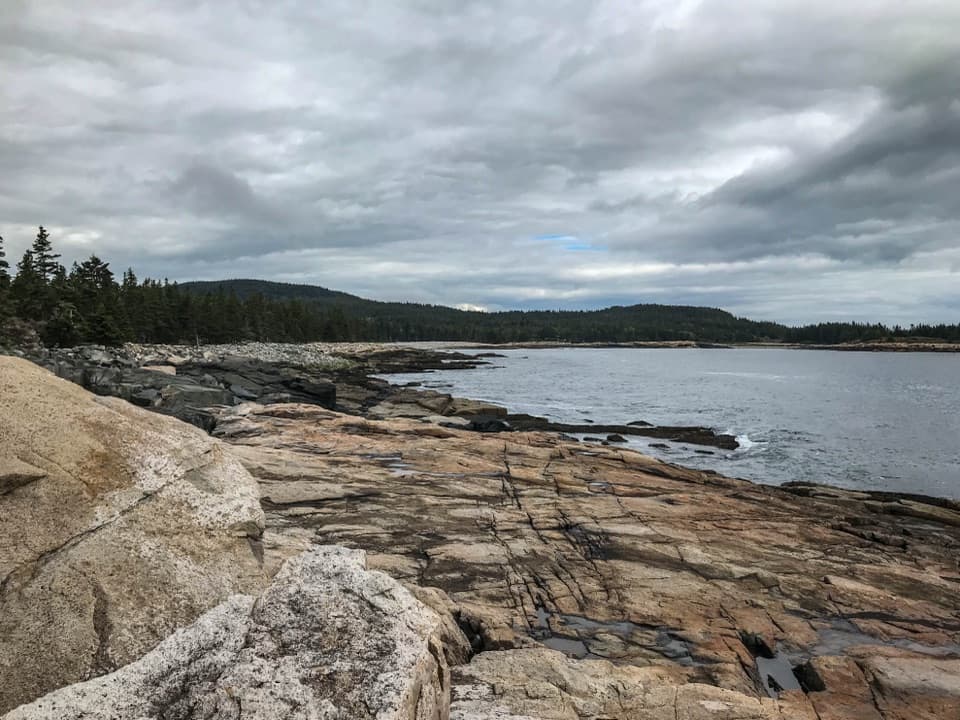
Schoodic Point in Acadia National Park

#6 of 54 sights in Acadia

Sight · Acadia National Park

Schoodic Point

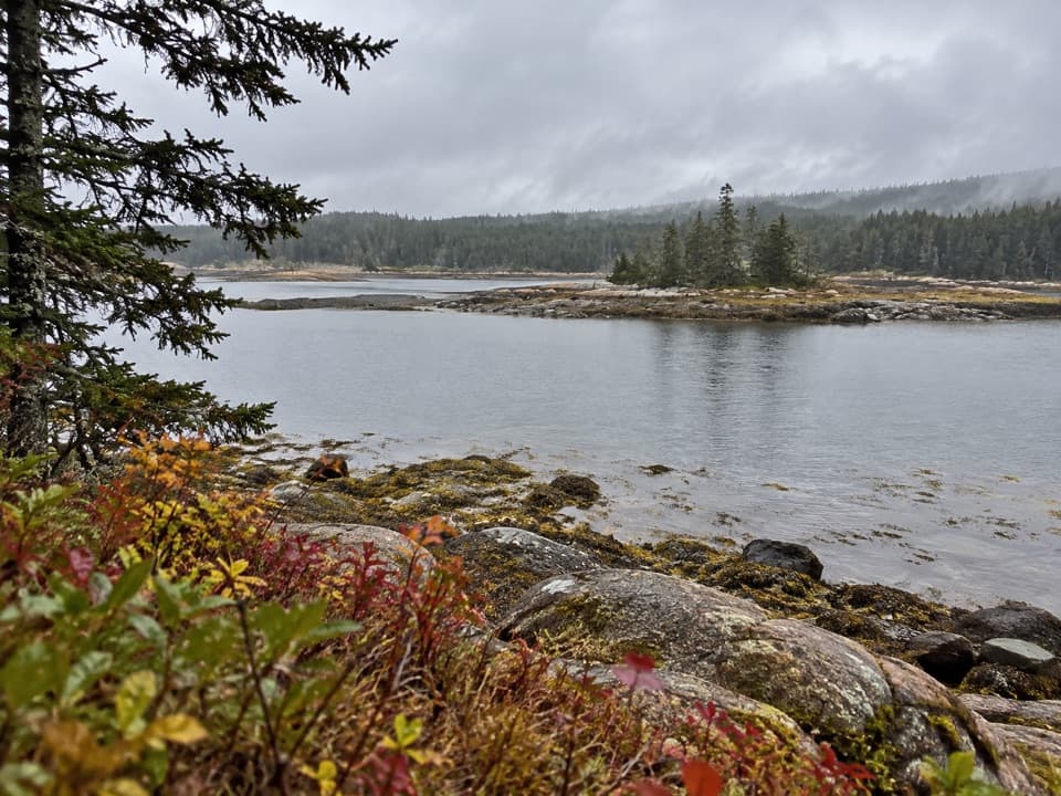
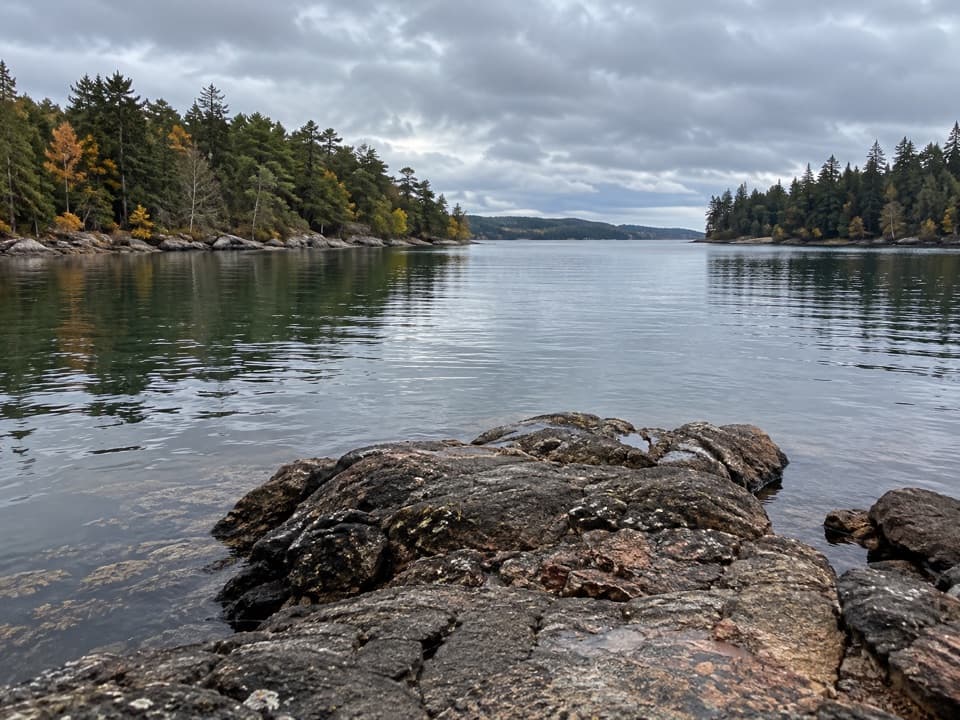
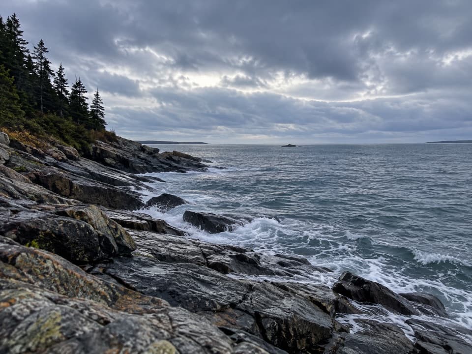
Atlantic surf, pink granite, and Mount Desert Island across the water.

Photo: National Park Service
Type
Sight
Nearest trail
0.3 mi
Audio stories
6 nearby
  • Parking
  • Restrooms
  • Scenic viewpoint

Hear the audio tour

Schoodic Point’s Dark Rock Bands

Overview

About Schoodic Point

Why stop

  • Atlantic surf against huge granite ledges

Heads up

  • About an hour from Hulls Cove Visitor Center
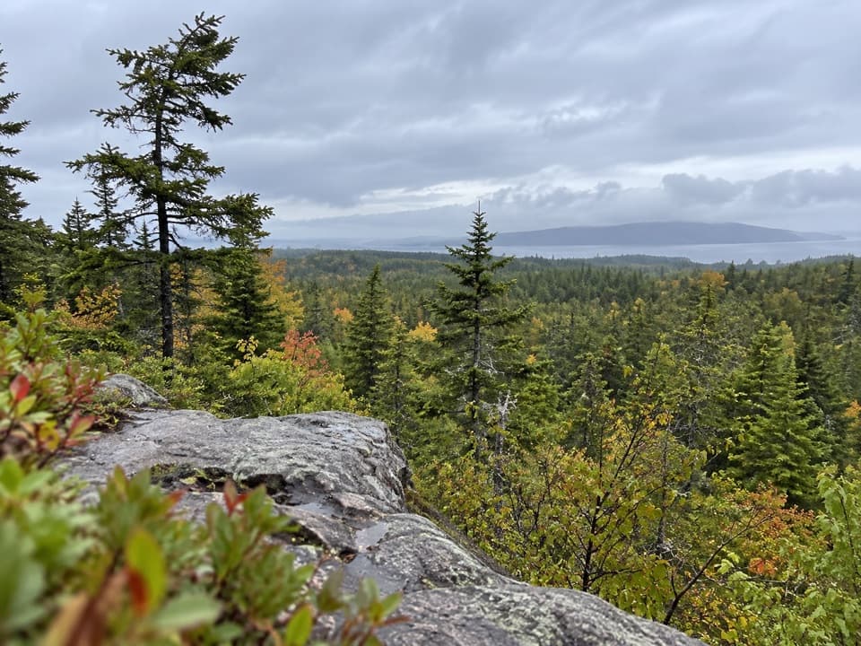
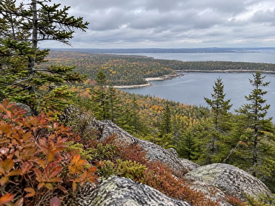
Schoodic Point is Acadia's exposed granite shoreline at the end of Arey Cove Road on the park's mainland peninsula. Big ledges, Atlantic surf, seabirds and a view back to Mount Desert Island make this a strong pick if you want the wave-battered coast. Schoodic is less developed and gets fewer visitors than Mount Desert Island, but it takes time to reach: allow about an hour from Hulls Cove Visitor Center.
Parkwolf’s verdictA shore worth the extra drive

Map

Where it is

Loading the Acadia map
Full map
SightSchoodic Point44.33230, -68.06106
Keep this map with you offline in the Parkwolf app

Plan your stop

Before you go

3 active Acadia alerts

  • ClosureSouthern Ocean Path section closed for repairsThe southern section of Ocean Path is closed for repairs from the trailhead across from the Otter Point parking lot to the trail’s southern terminus.Official details
  • ClosureSchoodic Mountain Road closed for repairsSchoodic Mountain Road is closed for repairs from Schoodic Loop Road to the summit of Schoodic Head.Official details

See all 3 alerts
A park ranger sits on a dash-mounted phone, talking, as Parkwolf’s Tour Guide plays “Army Cutworm Moths: A Grizzly Bear Buffet” on Grand Loop Road below Dunraven Pass in Yellowstone
Parkwolf Tour GuideThe highest, rockiest slopes around here are a summer buffet for grizzly bears.

Acadia Tour Guide

Your drive to Schoodic Point, narrated.

Parkwolf is a GPS audio tour guide for Acadia National Park. As you drive, it chimes in with what’s ahead: hidden gems, upcoming stops, history, geology, and wildlife, right through your car’s speakers.

See the Acadia audio tour

Recorded for this place

Schoodic Point’s Dark Rock Bands
0:00 / 0:29
“Schoodic Point is ahead, where Atlantic waves meet broad slabs of pink granite. Look for the dark bands cutting across the pale rock; those are basalt dikes, a different kind of rock running through the granite.”

Plays as you drive up to Schoodic Point in the Parkwolf Acadia Tour Guide.

More stories near here in the app

  • Rockefeller Hall’s Navy Past
  • Blueberry Hill’s Island View
  • Schoodic Head’s Wooded Summit
  • East Trail’s Steep Schoodic Climb
  • 116 audio storiesacross Acadia’s roads, triggered by GPS as you drive
  • Wildlife heatmapsfor Bald Eagle, Peregrine Falcon, White-tailed Deer, and 13 more
  • Works offlinemaps, 142 trails, 72 places, and audio download before you lose signal
  • CarPlay readysimple controls built for the drive
★★★★★
“…As we drove through Acadia it gave us a tour, which was really cool. Lots of great info about the parks and how to avoid the crowds. It’s a great travel companion!”
MyMysteryChicaApp Store review
Download Parkwolf on the App StoreGet Parkwolf on Google Play

4.7 from 8,600+ ratings

Guide

More about Schoodic Point

Choose your route to the waterSeveral levels of parking serve the point, with accessible spaces on the lowest level.

Several levels of parking serve the point, with accessible spaces on the lowest level. From there, reach the shore by about ten uneven stone steps or a short paved route. A separate flat viewing area near the restrooms gives you an ocean view without crossing the irregular granite. The natural ledges are cracked and sloped, so this is not an easy walk for everyone; the flat view is a good option if the rocks are out of reach or uncomfortable underfoot.

Getting around SchoodicArey Cove Road leads from Winter Harbor to the point.

Arey Cove Road leads from Winter Harbor to the point. If you're touring the main six-mile stretch of Schoodic Loop Road, remember that it is one-way and use the marked pullouts. A fare-free Island Explorer shuttle serves the point in summer.

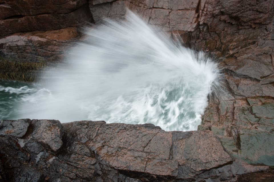
Give the surf roomWaves can hit the ledges hard enough to throw spray high above the rocks.

Waves can hit the ledges hard enough to throw spray high above the rocks. Wet granite, cracks, slopes and changing surf make footing matter here. Give breaking waves plenty of space; this is a place to watch the Atlantic, not to get close to the edge for a better view.

Read the graniteThe broad slabs are pink granite, crossed by dark basalt dikes.

The broad slabs are pink granite, crossed by dark basalt dikes. Look for those dark bands cutting across the pale rock. Storm waves and flood tides have worn the peninsula's exposed headlands, and the cracked shoreline makes that ongoing erosion easy to see.

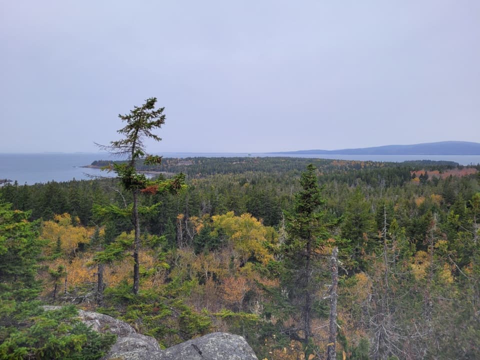
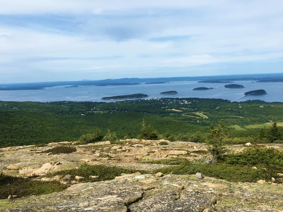
Look back across the waterMount Desert Island lies across the water. Look for seabirds above the shore.

Mount Desert Island lies across the water. Look for seabirds above the shore. For a useful photo, let the pink ledges lead the eye toward the open sea and the island beyond. The flat viewing area gives you the wide view; from the uneven rocks, the surf and spray become the foreground, but those conditions change with weather and tide. Don't step onto wet or exposed ledges for a shot.

Wildlife

Wildlife in Acadia

All Acadia wildlife maps

Sighting maps show where each species has been reported across Acadia. Wildlife moves, so no sighting is guaranteed.

Parkwolf’s Acadia ranking

Top sights in Acadia

All 72 places
  1. 1Cadillac MountainSight
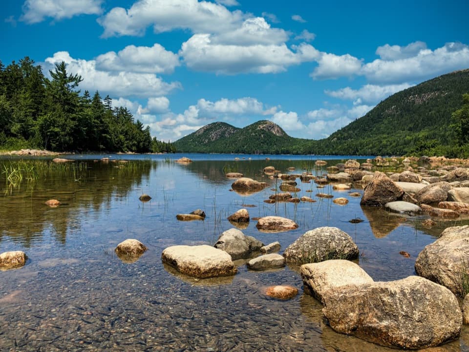
  2. 2Jordan PondSight
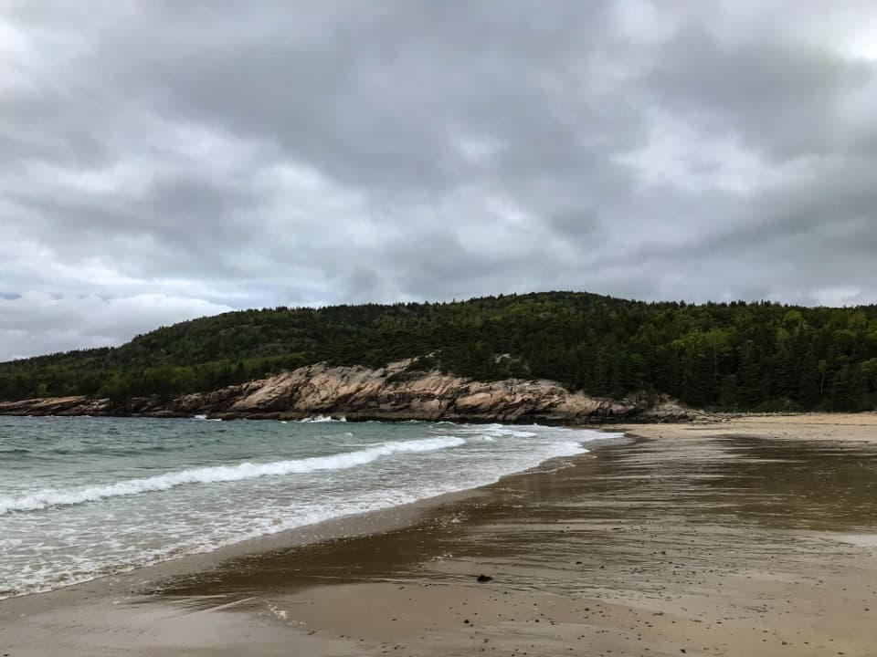
  3. 3Sand BeachBeach
  4. 4Thunder HoleSight
  5. 5Bass Harbor Head Light StationSight
  6. 7Otter CliffSight

Take Parkwolf to Acadia.

The audio tour guide for the drive, plus offline maps, trails, and wildlife heatmaps for when the signal drops.

4.7 from 8,600+ ratings

Download Parkwolf on the App StoreGet Parkwolf on Google Play